Elevation of Canninghouse Alley, Denton, MD, USA
Location: United States > Maryland > Caroline County > 6, Hillsboro > Denton >
Longitude: -75.854755
Latitude: 38.832741
Elevation: 6m / 20feet
Barometric Pressure: 101KPa
Elevation Map:
Satellite Map:
Related Photos:

Choptank River

Light Trails From Ground View
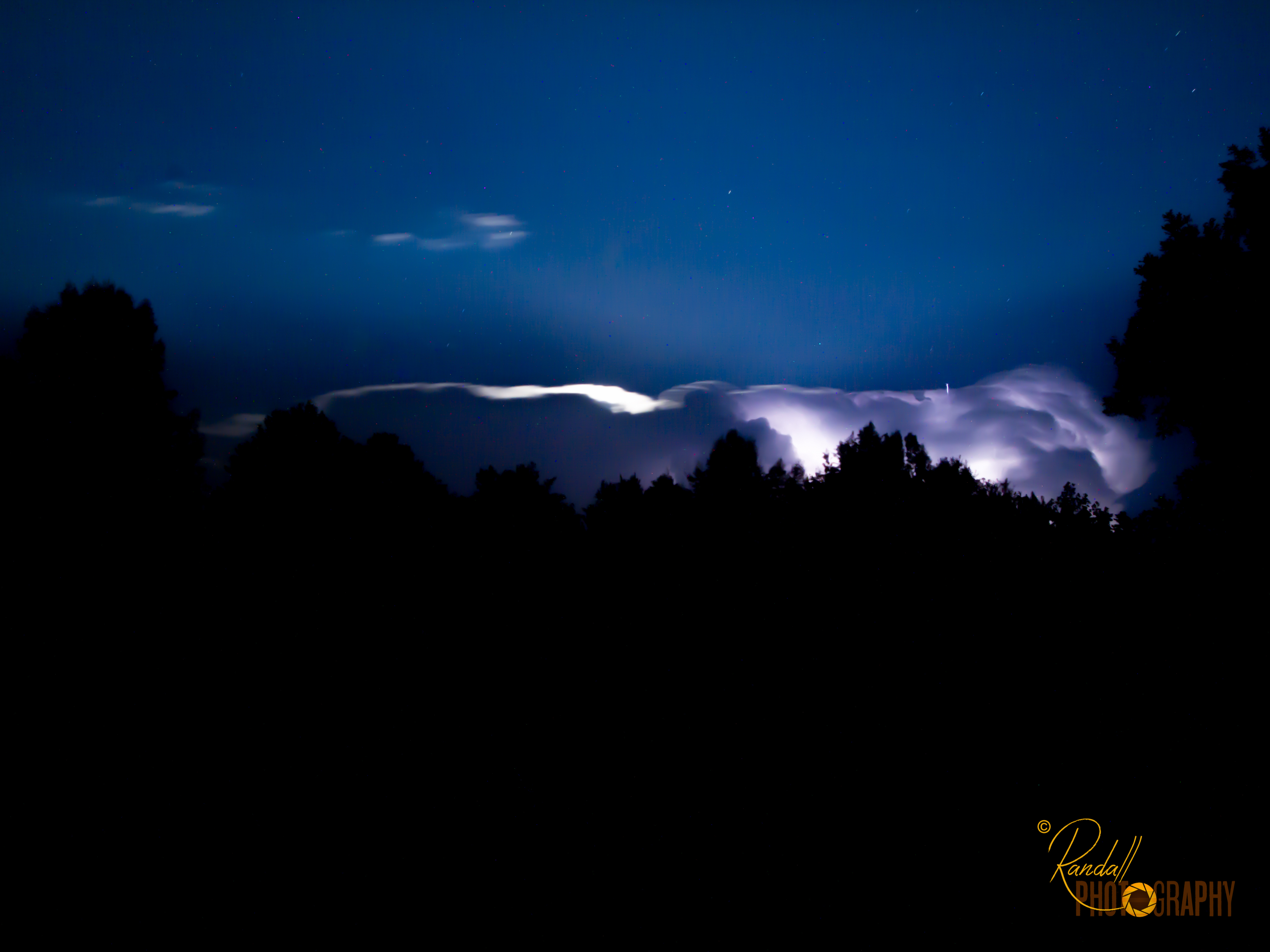
Night Lightning Storm
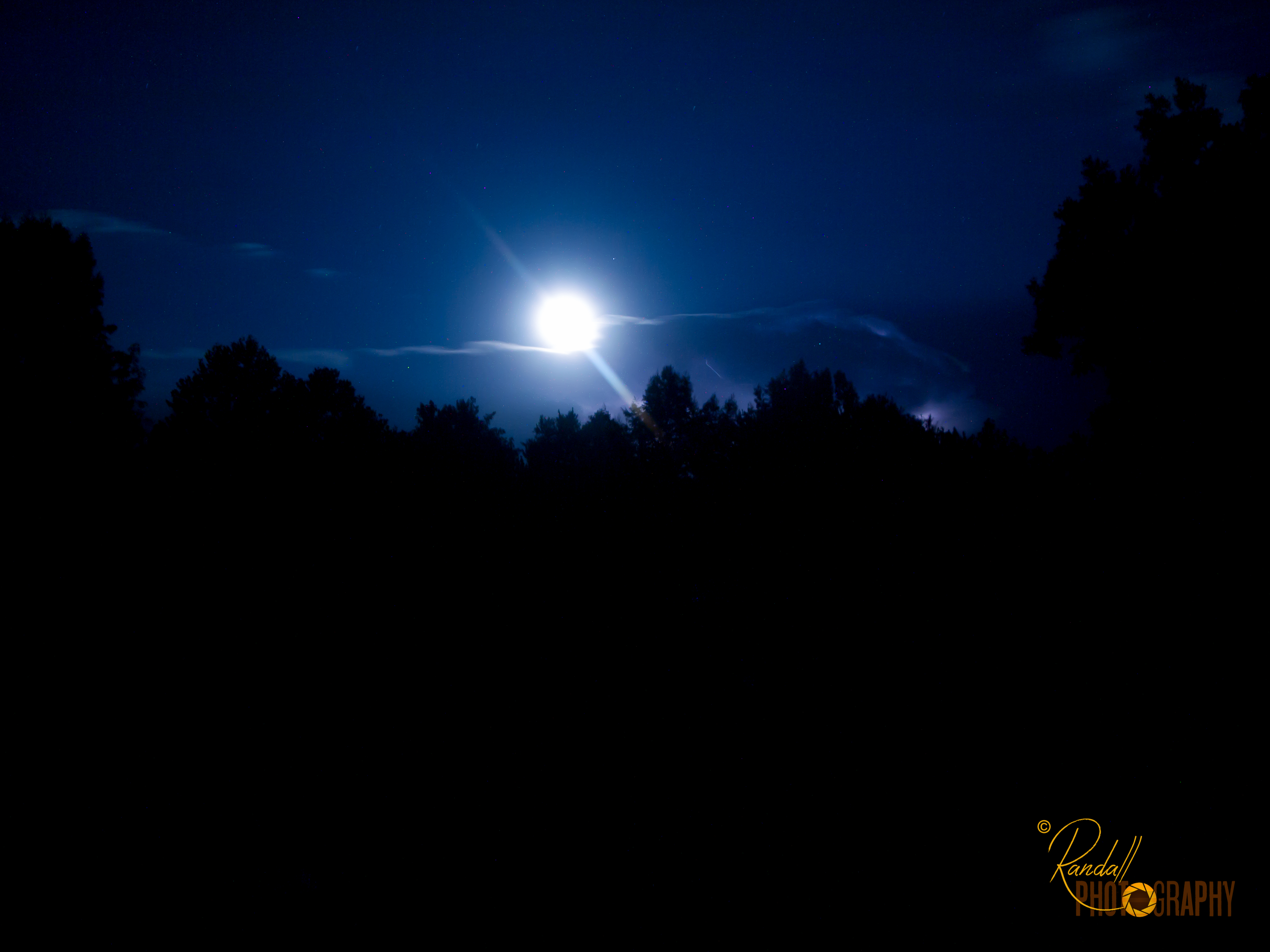
The Bright Moon
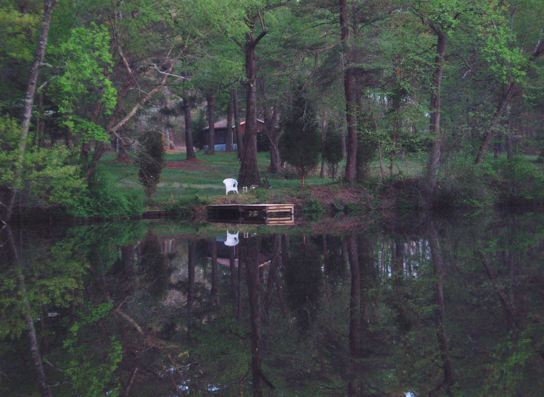
Who will sit there?

Bank and Turn

Northern Lapwing
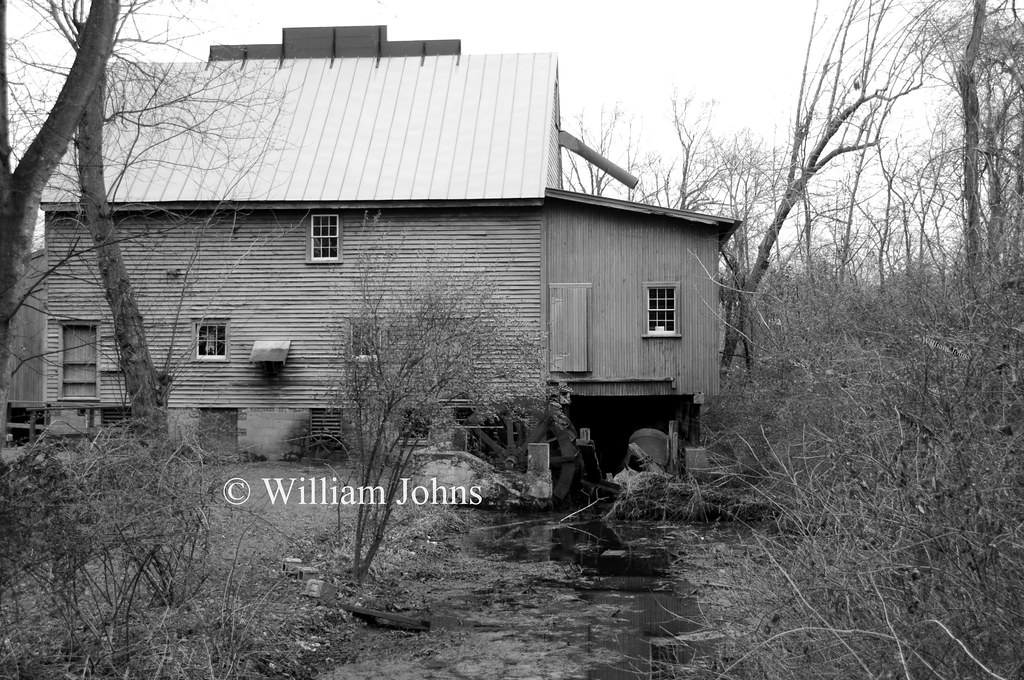
F. S. Langrell Linchester Flouring Mill: Rear View
Blest be the tie that binds...

Upper Choptank River 2

Fighter Plane Silhouette
Turks Cap Lily in Bloom
A birds eye view of major exchange 6
Turks Cap Lily in Bloom
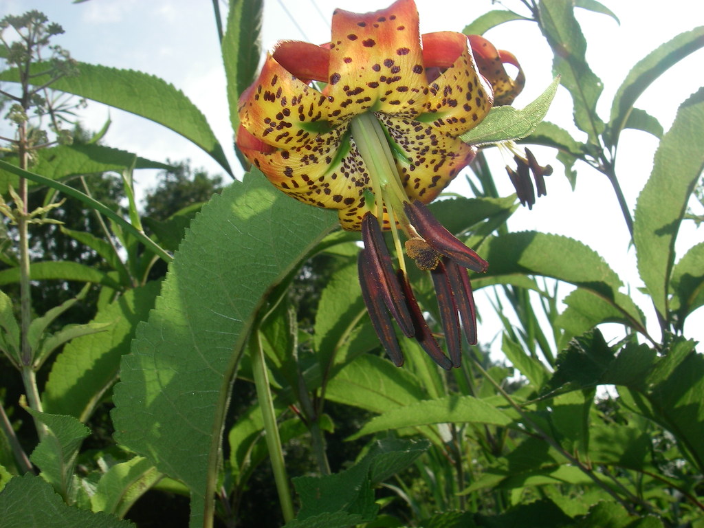
Turks Cap Lily in Bloom

Black-headed Grosbeak
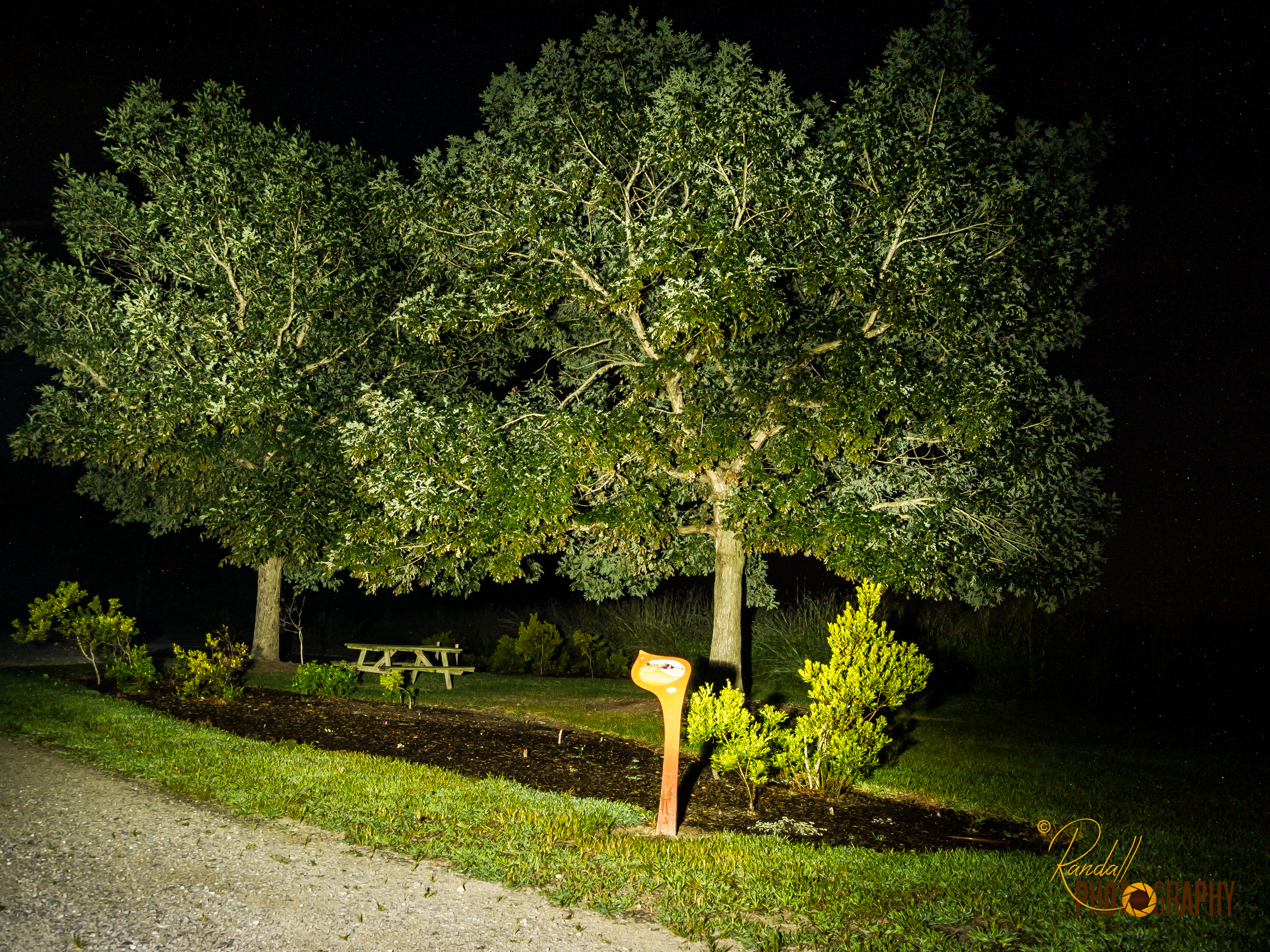
Light Painting in the Park - Trees

TrackHead Studios - National Bohemian

(109/365)~~the 12 stages of the tree,stage 4

The Landscape In My Dreams

"Crab cakes and football, that's what Maryland does!"

Autumn Sunset

365:46

Crack of dawn
Tuckahoe Recreation Area
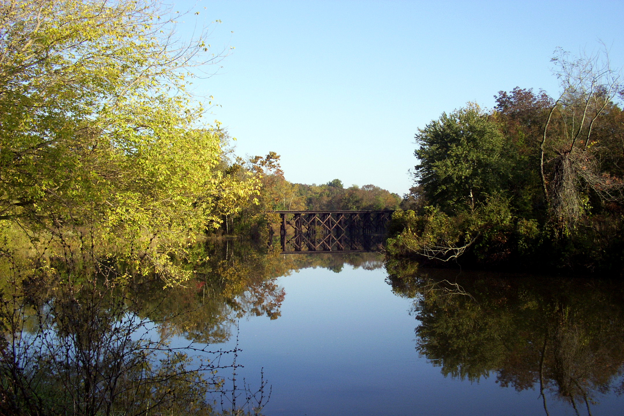
Hillsboro Bridge

Hindwing with Ray

To Lakeview

Tuckahoe Recreation Area

Meditation Point
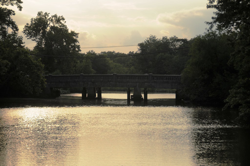
Bridge connecting Hillsboro and Queen Anne
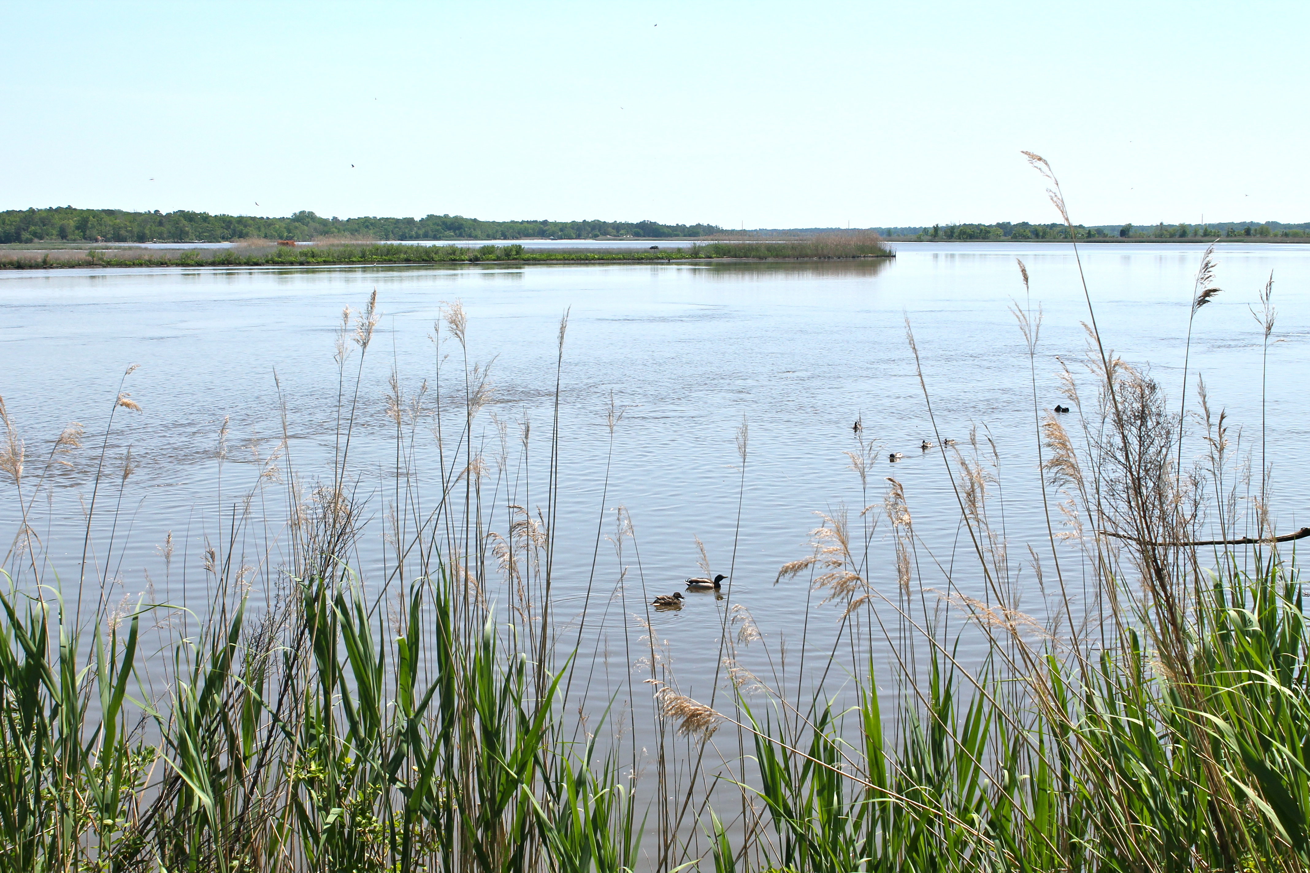
Ducks on the Choptank River

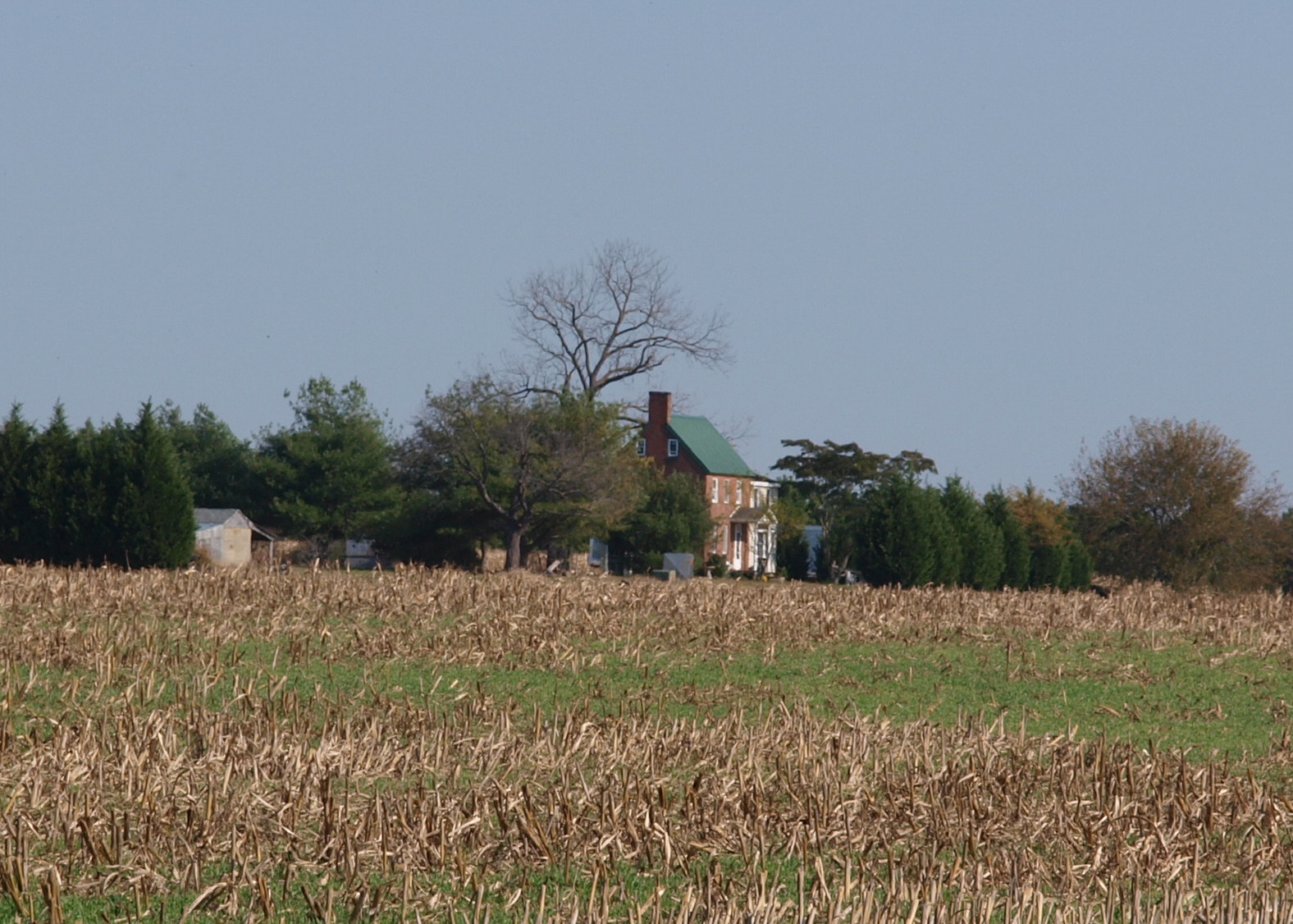
Farmland in Talbot County, Md.
Levenger house, Preston, MD, important stop on the Underground Railroad
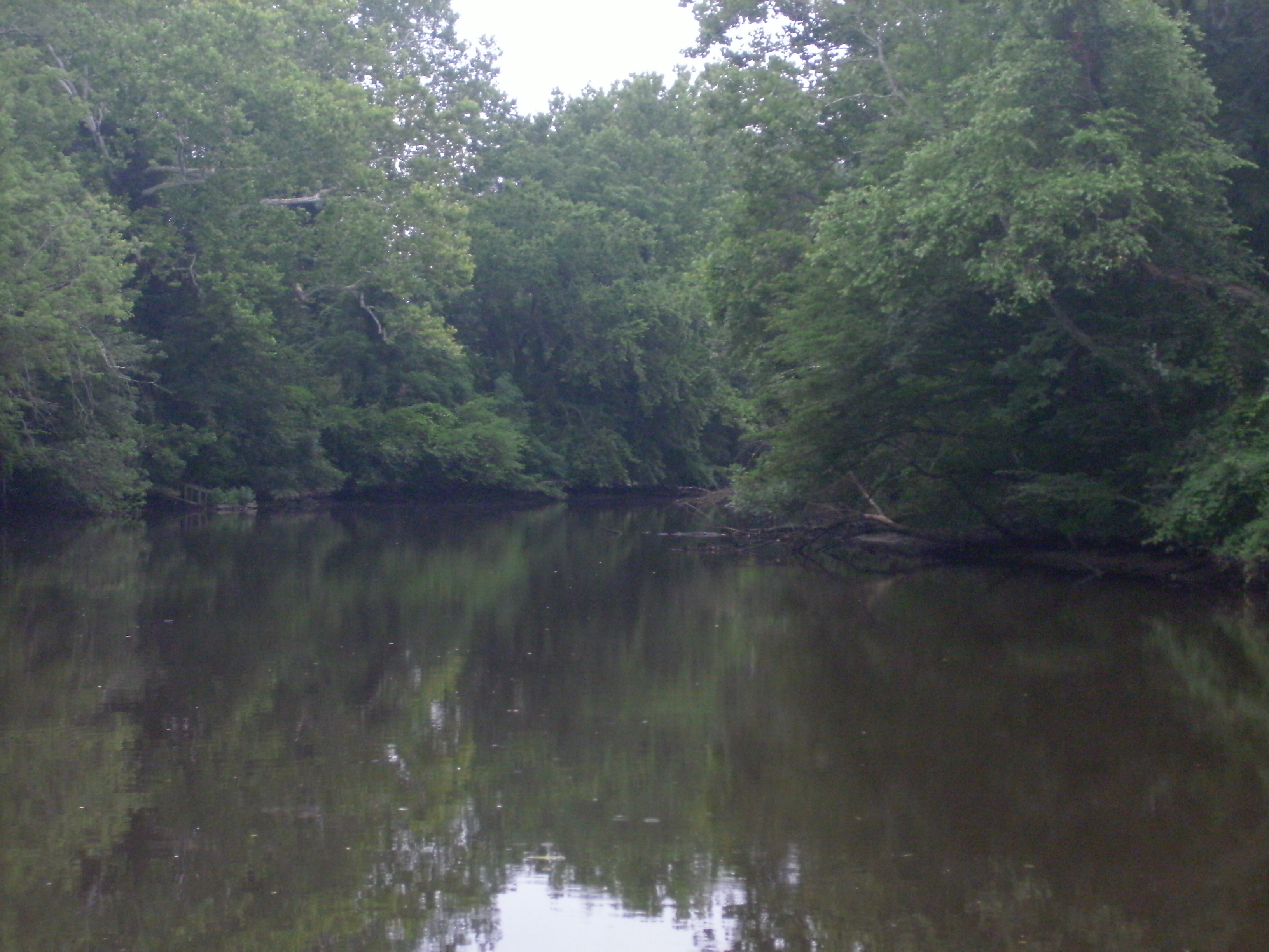
Tuckahoe Creek at Hillsboro landing

More grass.

Meditation Point
Topographic Map of Canninghouse Alley, Denton, MD, USA
Find elevation by address:

Places near Canninghouse Alley, Denton, MD, USA:
Mill Creek Ln, Denton, MD, USA
New Bridge Rd, Denton, MD, USA
7023 Dawsons Branch Dr
Dion Rd, Denton, MD, USA
9157 High Banks Dr
Hog Creek Rd, Preston, MD, USA
Pepper Rd, Federalsburg, MD, USA
Preston, MD, USA
4, Preston
Pepper Road
Hynson Rd, Federalsburg, MD, USA
Greenwood Rd, Denton, MD, USA
Preston
5, Federalsburg
201 Buena Vista Ave
12, Williamsburg
Federalsburg
Hurlock Elwood Rd, Hurlock, MD, USA
251 E Central Ave
Seashore Hwy, Greenwood, DE, USA
Recent Searches:
- Elevation of 72-31 Metropolitan Ave, Middle Village, NY, USA
- Elevation of 76 Metropolitan Ave, Brooklyn, NY, USA
- Elevation of Alisal Rd, Solvang, CA, USA
- Elevation of Vista Blvd, Sparks, NV, USA
- Elevation of 15th Ave SE, St. Petersburg, FL, USA
- Elevation of Beall Road, Beall Rd, Florida, USA
- Elevation of Leguwa, Nepal
- Elevation of County Rd, Enterprise, AL, USA
- Elevation of Kolchuginsky District, Vladimir Oblast, Russia
- Elevation of Shustino, Vladimir Oblast, Russia