Elevation of Patrick Henry Hwy, Crewe, VA, USA
Location: United States > Virginia > Nottoway County > >
Longitude: -78.147001
Latitude: 37.2222481
Elevation: 152m / 499feet
Barometric Pressure: 100KPa
Elevation Map:
Satellite Map:
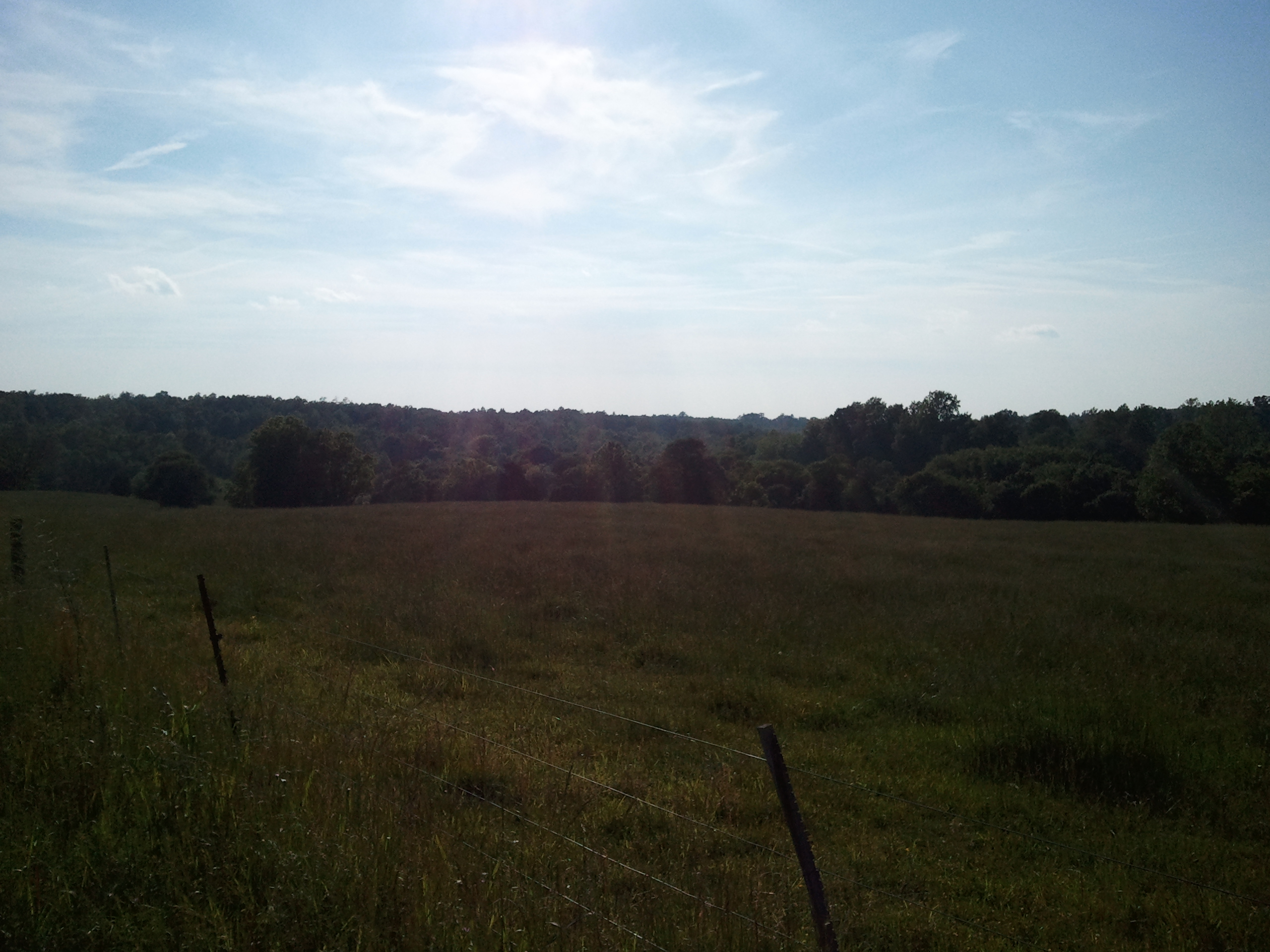
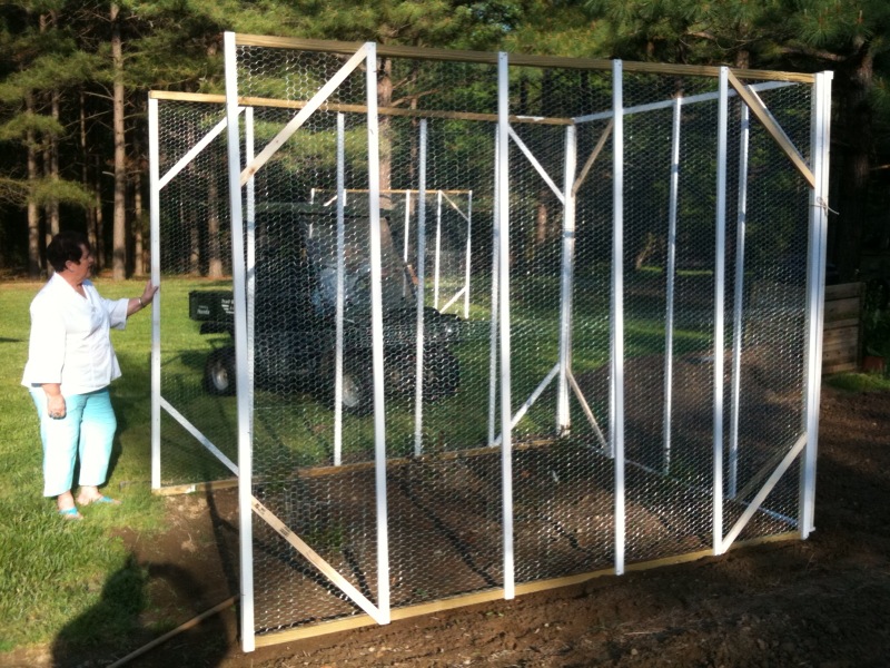
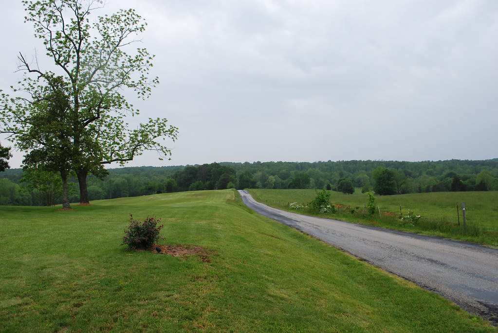
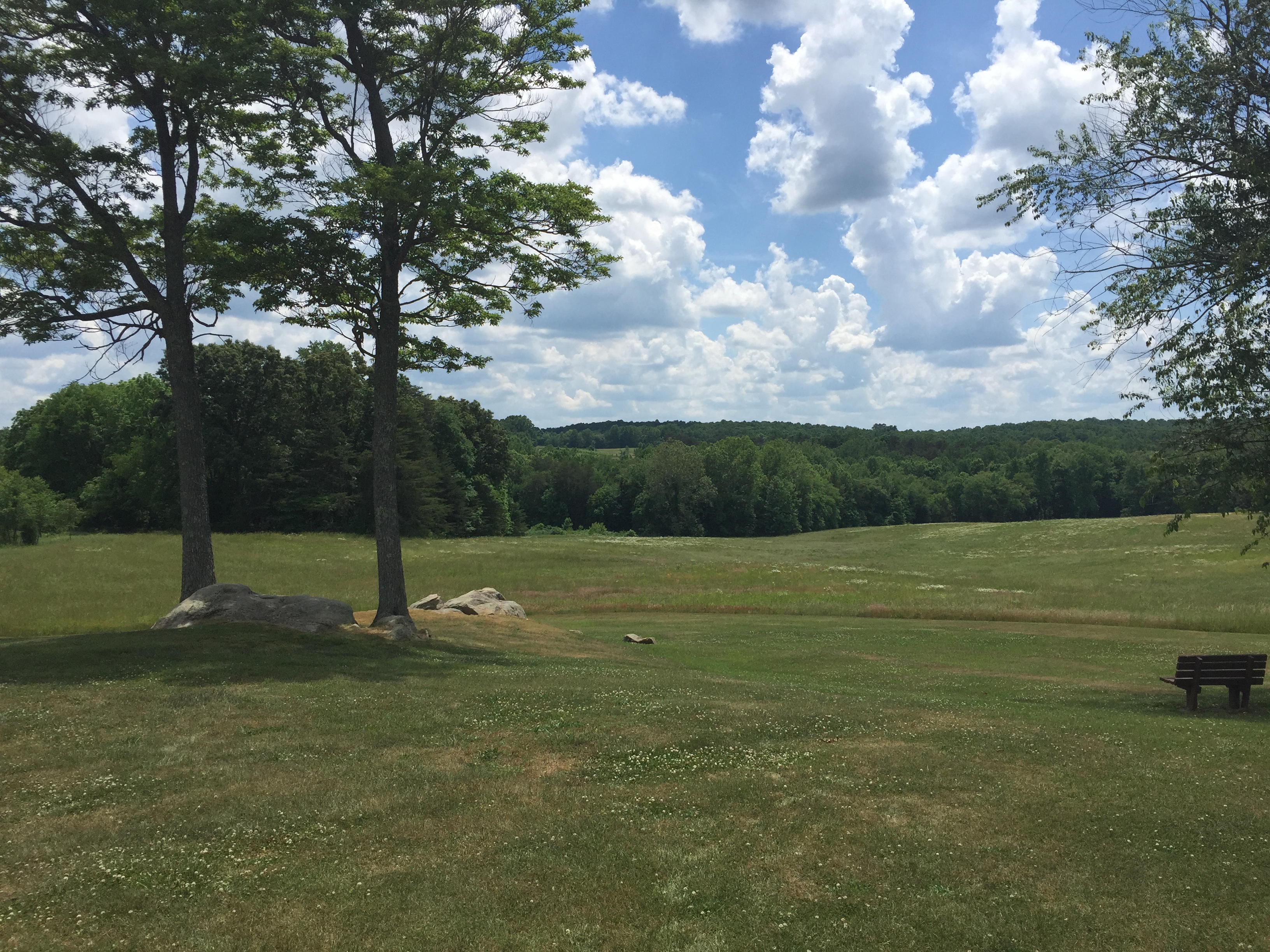
Related Photos:
White-winged Scoters at Sandy River Reservoir, Prince Edward County, VA (1.13.15)

From the Bus
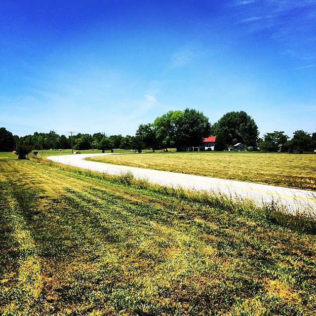
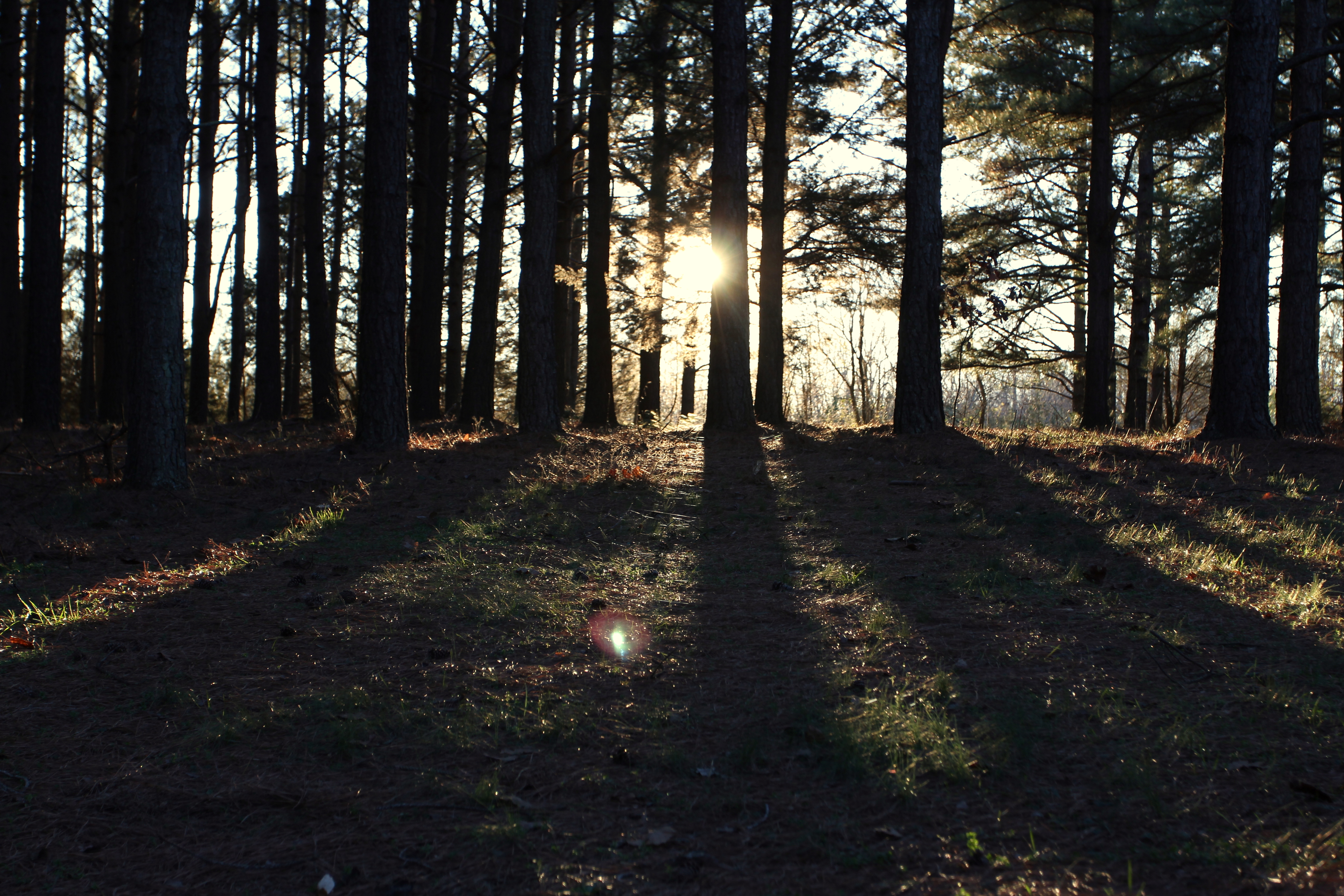
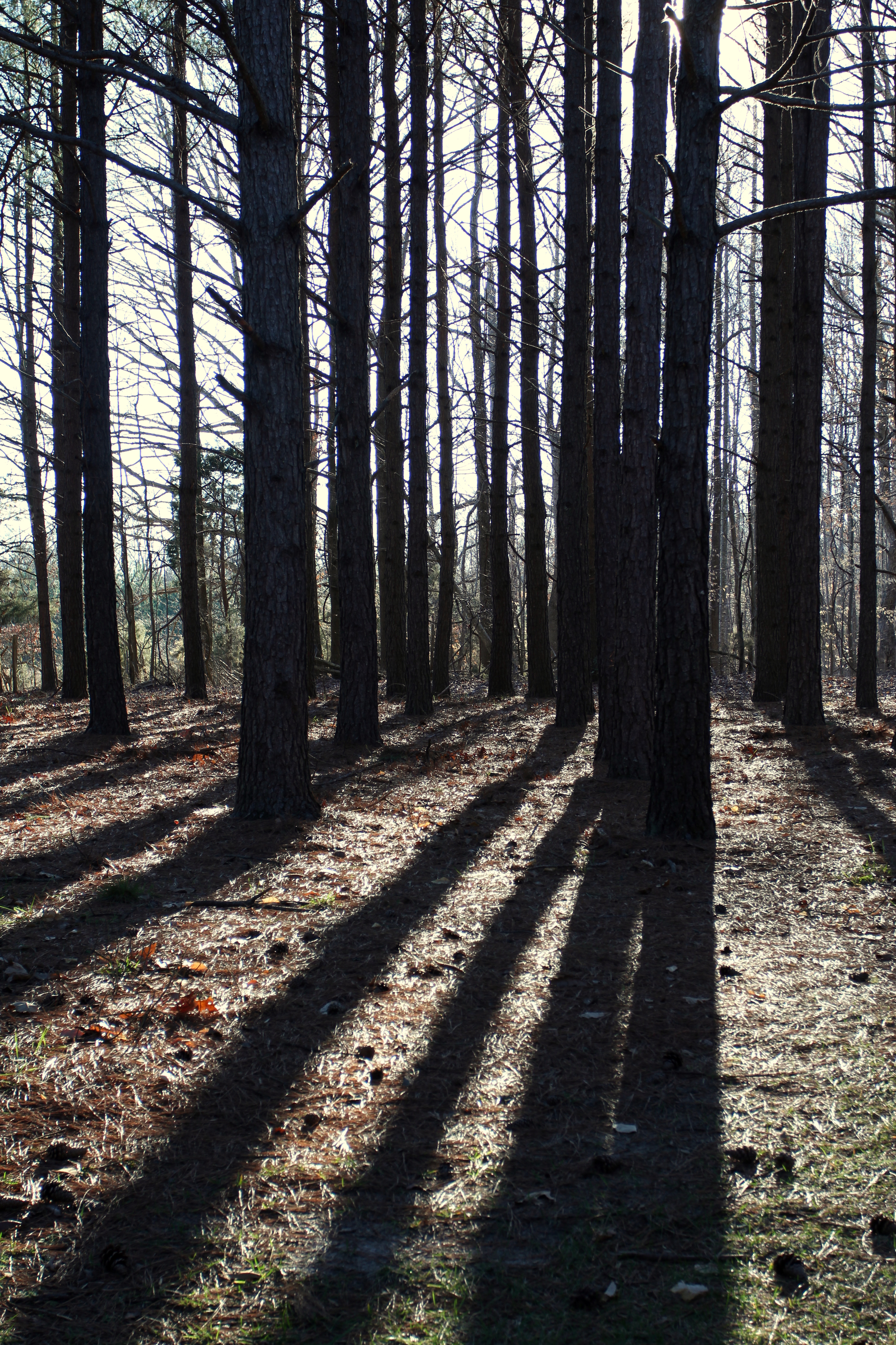
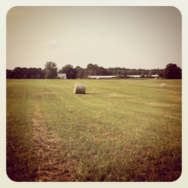
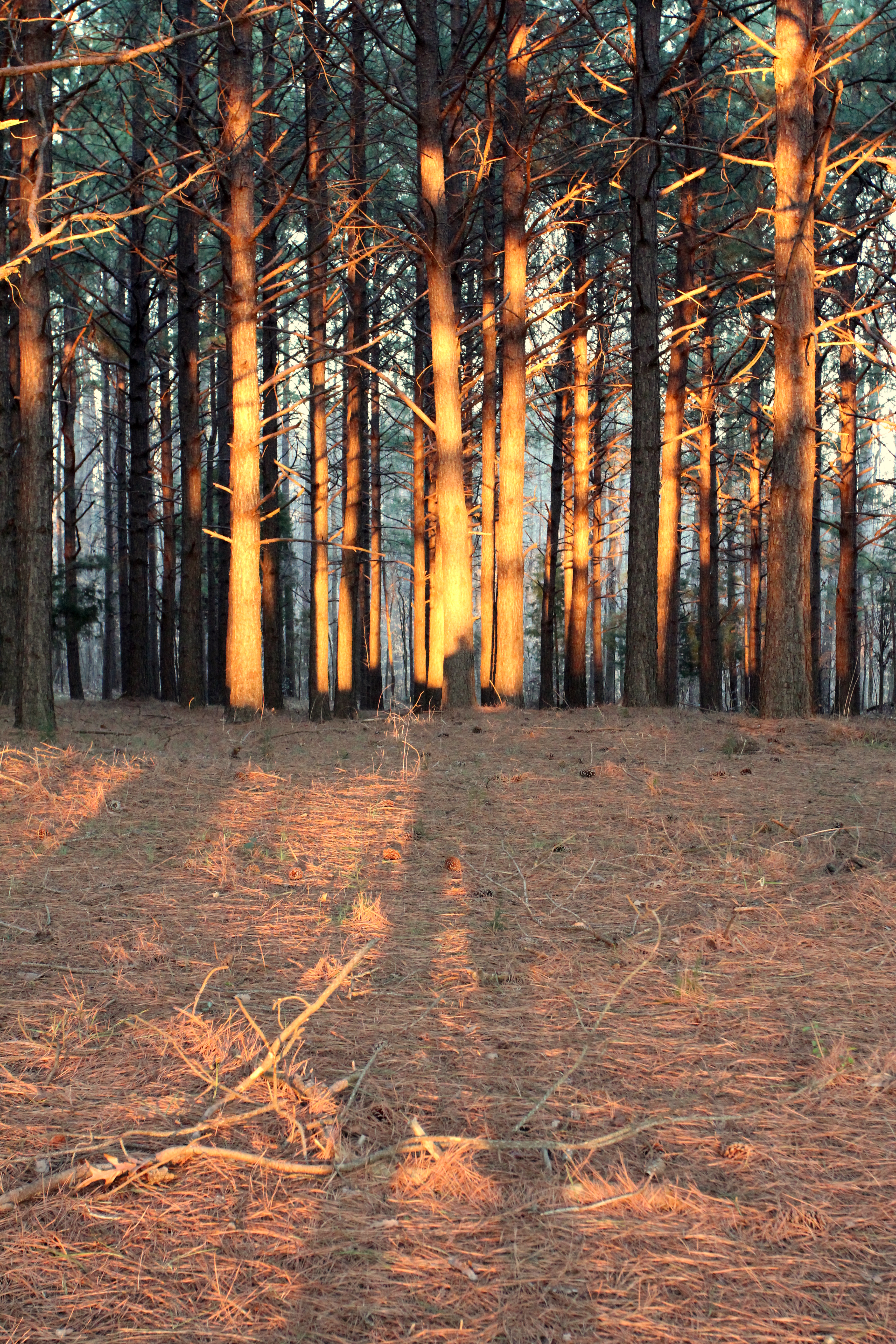
Love this view #pineforest #country
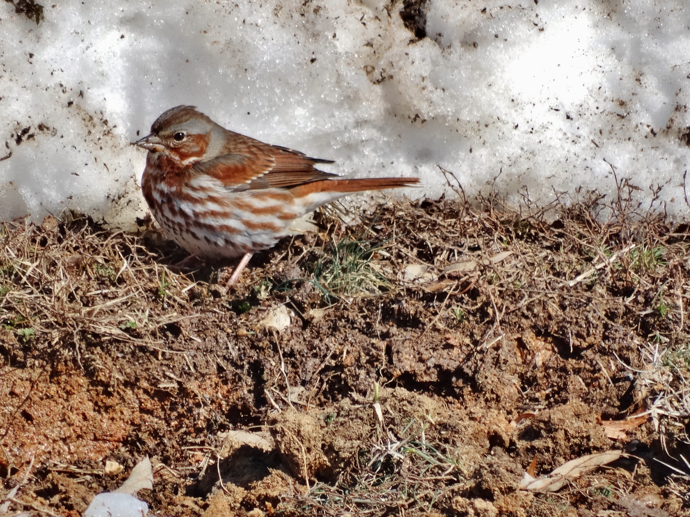
Fox Sparrow in the Mud (2.19.15)
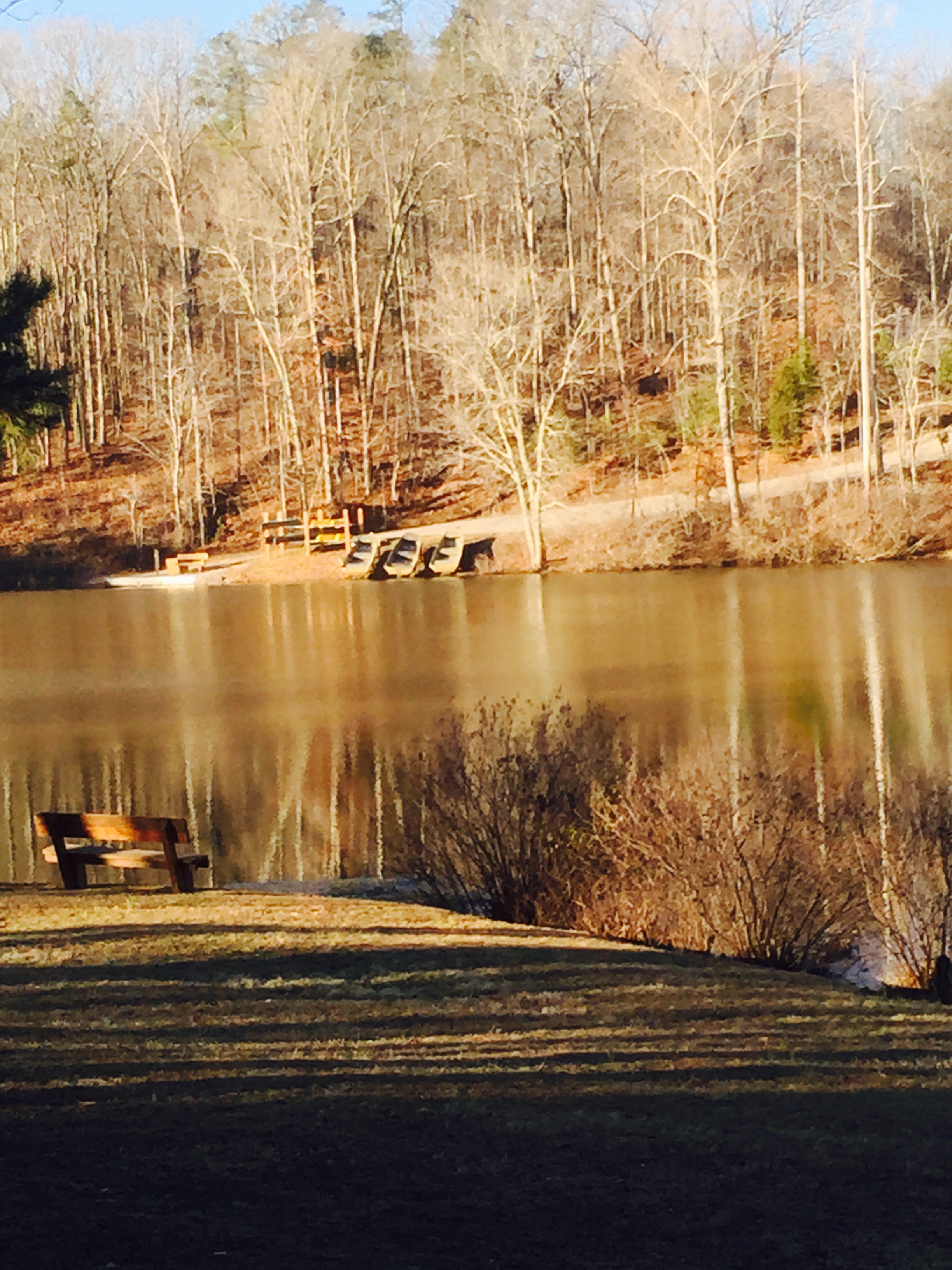
vertical view of lake from cabin 4
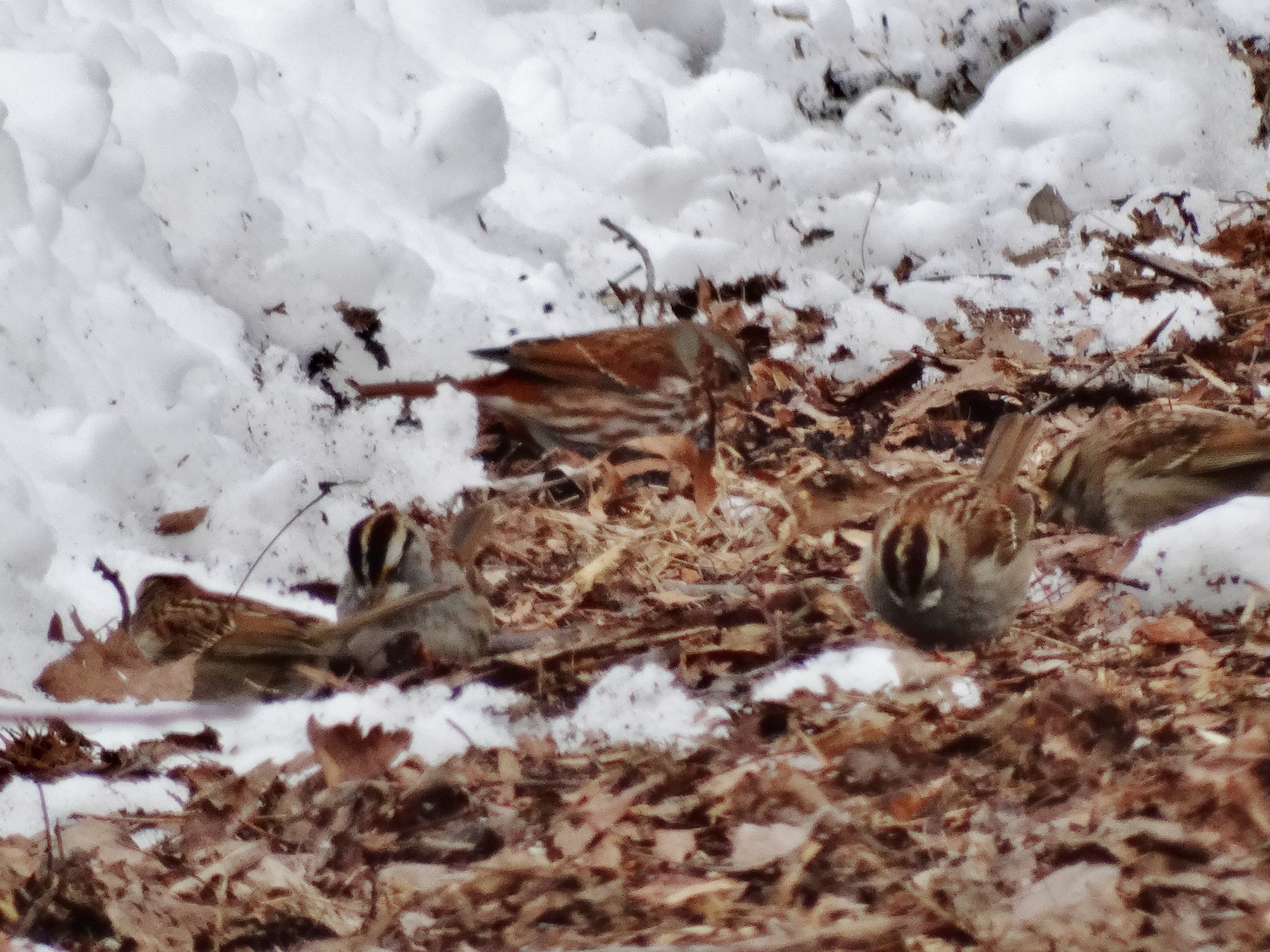
Fox Sparrow (back) with White-throated Sparrows at Sandy River Reservoir, Prince Edward County, VA (2.18.15)
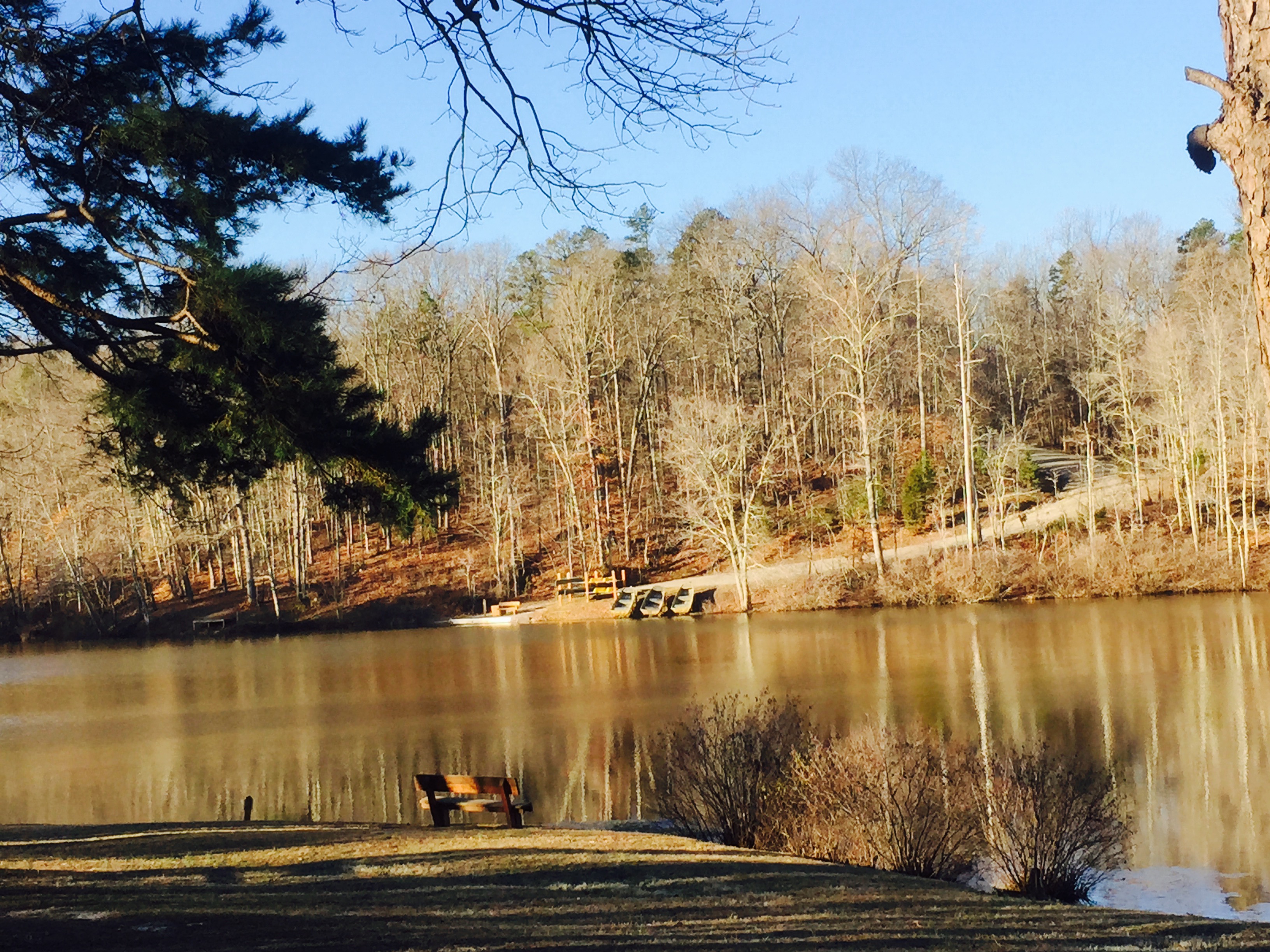
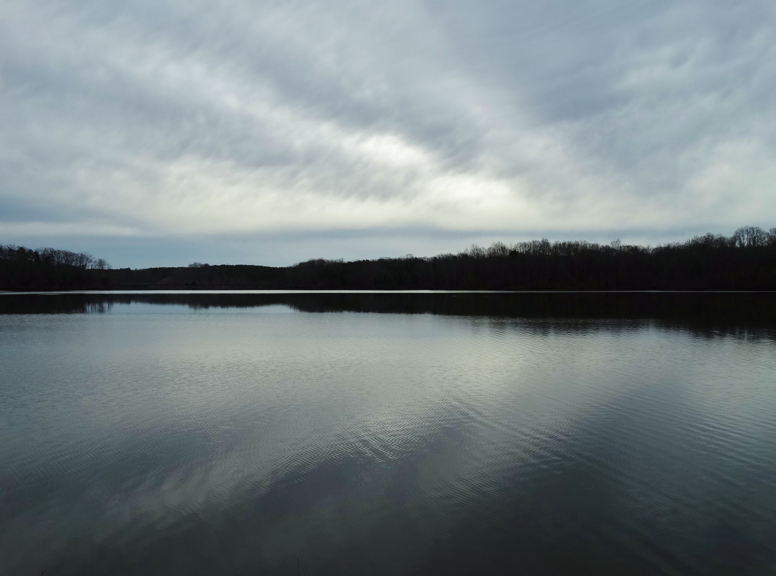
horizontal view of lake from cabin 4
Sailor's Creek Battlefield State Park

Spotted Sandpiper at Sandy River Reservoir, Prince Edward Co., VA (3.14.15)
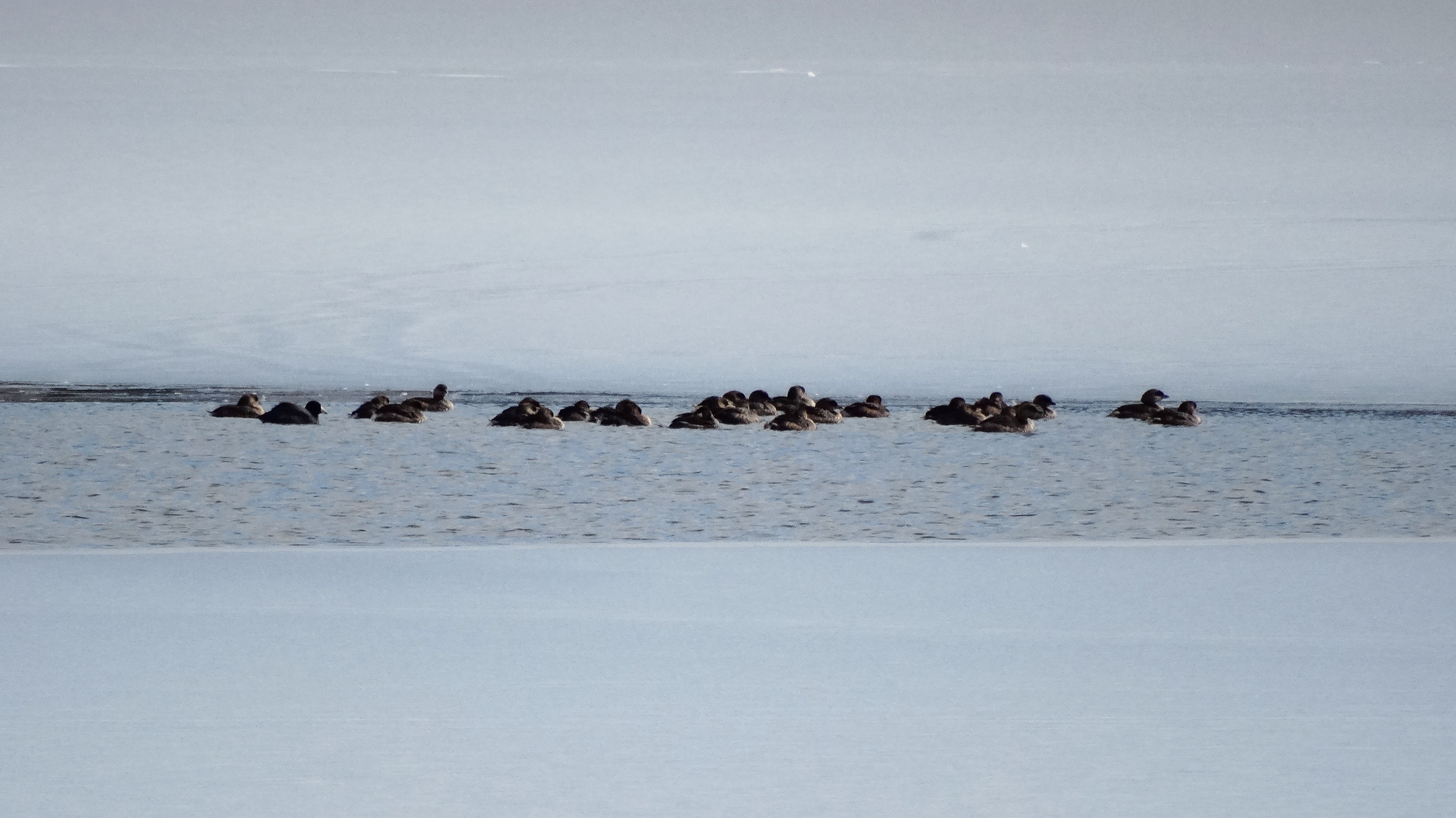
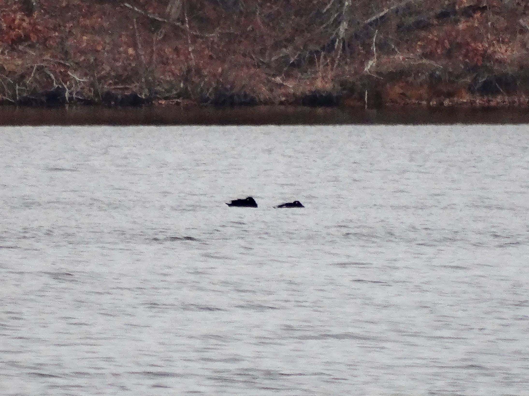
American Coot (left) & Ruddy Duck (center) with Pied-billed Grebes (2.18.15)
2011-05-21_18.02.42
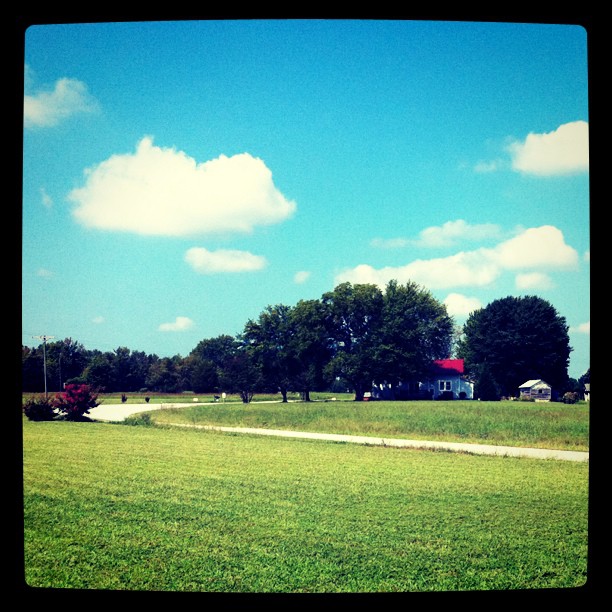
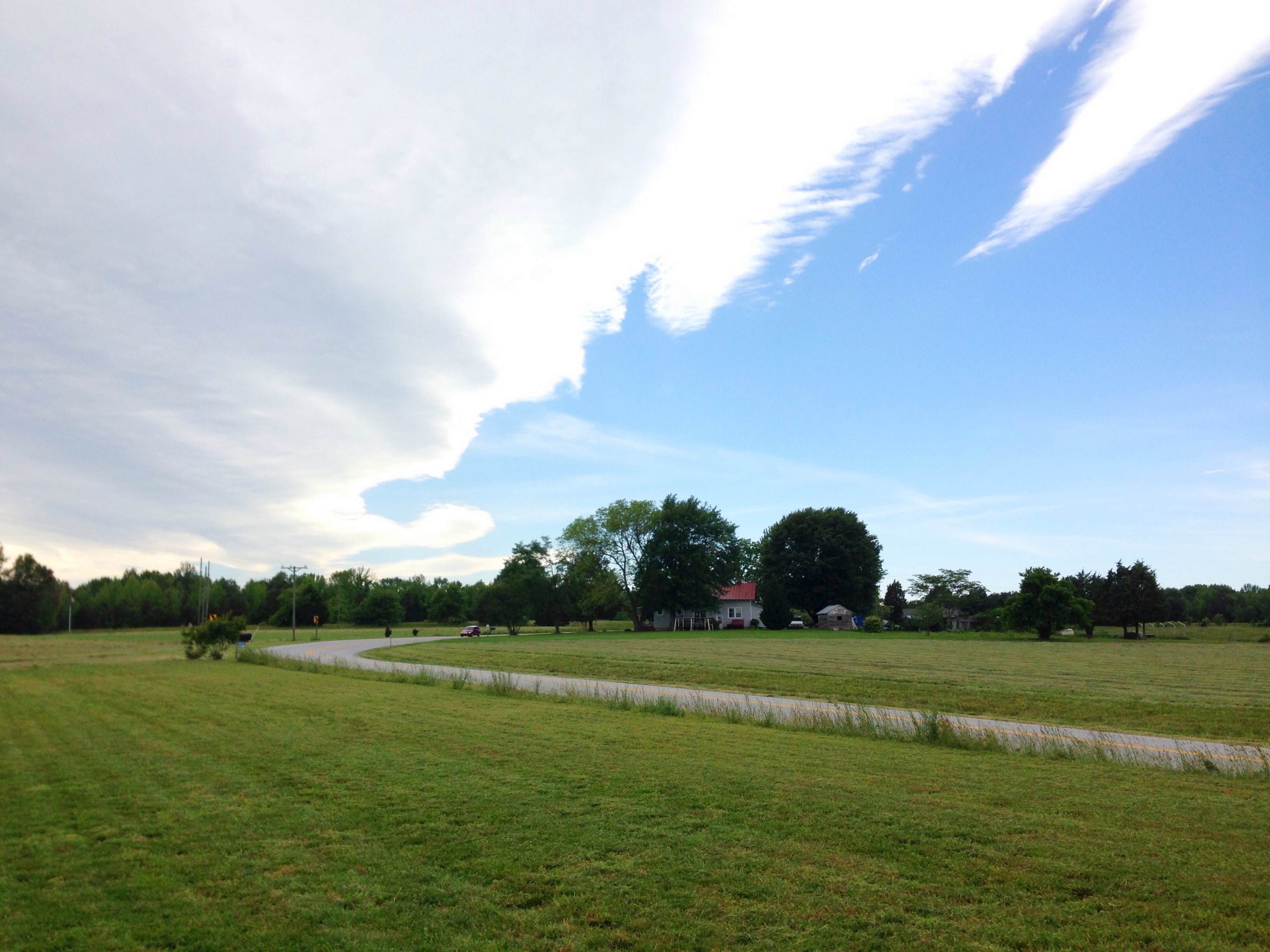
View from the garden
View from Hillman House
View from Hillsman House
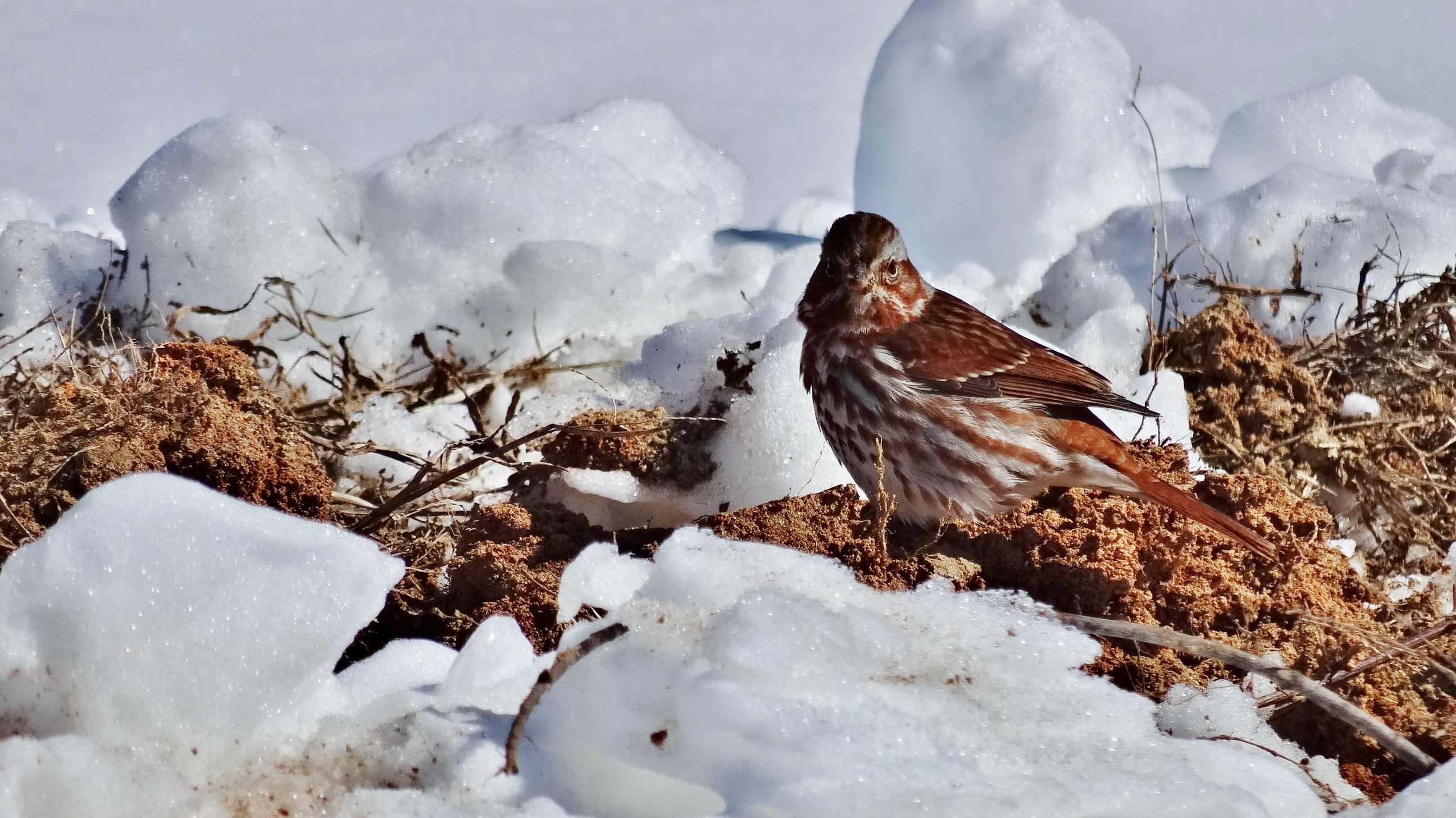
Fox Sparrow at Sandy River Reservoir, Prince Edward County, VA (2.19.15)

My view for the next several hours

Crewe Railroad Museum

Country Evening
Front view - no door yet
IMG_5947-1

Up Namozine Road. #clouds #sky

IMG_5926-1
Grandpa Johnie built his place in a bend in the road
Rolling Clouds (3.16.15)
IMG_5927-1
Down by the pond

Winter On The Battlefield
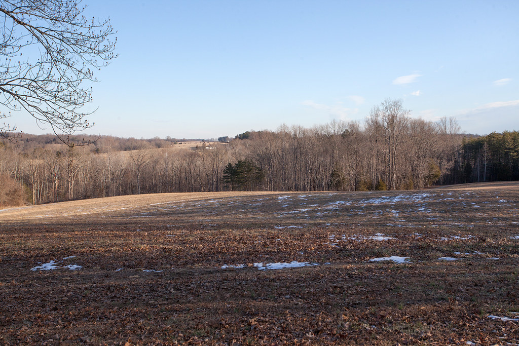
Spraying weeds - a long way to go

IMG_5948-1
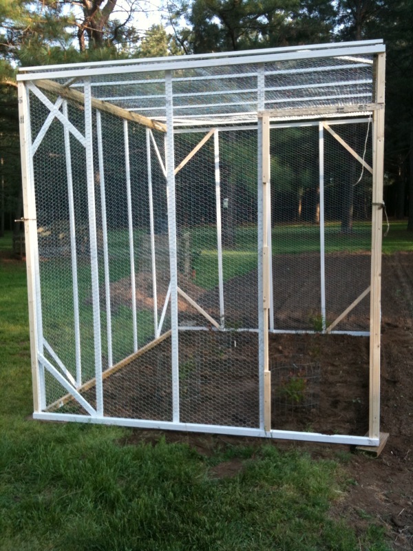
Grandpa Johnnie's house and the chickenhouse
IMG_5961-1

IMG_1847.jpg
Down by the pond

Sailors Cr Battlefield- Amelia Co VA 1993 c
Front moving through

Road through the hills...

Lockett Farm
Topographic Map of Patrick Henry Hwy, Crewe, VA, USA
Find elevation by address:

Places near Patrick Henry Hwy, Crewe, VA, USA:
35 E Colonial Trail Hwy, Burkeville, VA, USA
Crewe
Thompson Lane
3, VA, USA
Burkeville
Jetersville
8430 Va-616
E Sayler's Creek Rd, Jetersville, VA, USA
Nottoway Court House
1, VA, USA
1, VA, USA
2, VA, USA
Sunrise Lane
5650 Old Nottoway Rd
Rice
James River
Rodophil Road
Genito Rd, Jetersville, VA, USA
Nottoway County
3, VA, USA
Recent Searches:
- Elevation of 6 Rue Jules Ferry, Beausoleil, France
- Elevation of Sattva Horizon, 4JC6+G9P, Vinayak Nagar, Kattigenahalli, Bengaluru, Karnataka, India
- Elevation of Great Brook Sports, Gold Star Hwy, Groton, CT, USA
- Elevation of 10 Mountain Laurels Dr, Nashua, NH, USA
- Elevation of 16 Gilboa Ln, Nashua, NH, USA
- Elevation of Laurel Rd, Townsend, TN, USA
- Elevation of 3 Nestling Wood Dr, Long Valley, NJ, USA
- Elevation of Ilungu, Tanzania
- Elevation of Yellow Springs Road, Yellow Springs Rd, Chester Springs, PA, USA
- Elevation of Rēzekne Municipality, Latvia