Elevation of 3, VA, USA
Location: United States > Virginia > Nottoway County >
Longitude: -78.088012
Latitude: 37.2274568
Elevation: 130m / 427feet
Barometric Pressure: 100KPa
Elevation Map:
Satellite Map:
Related Photos:

From the Bus
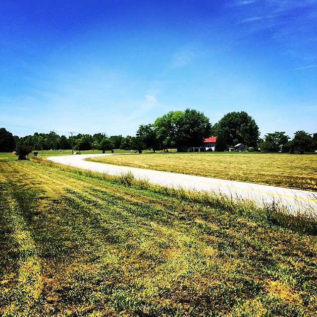
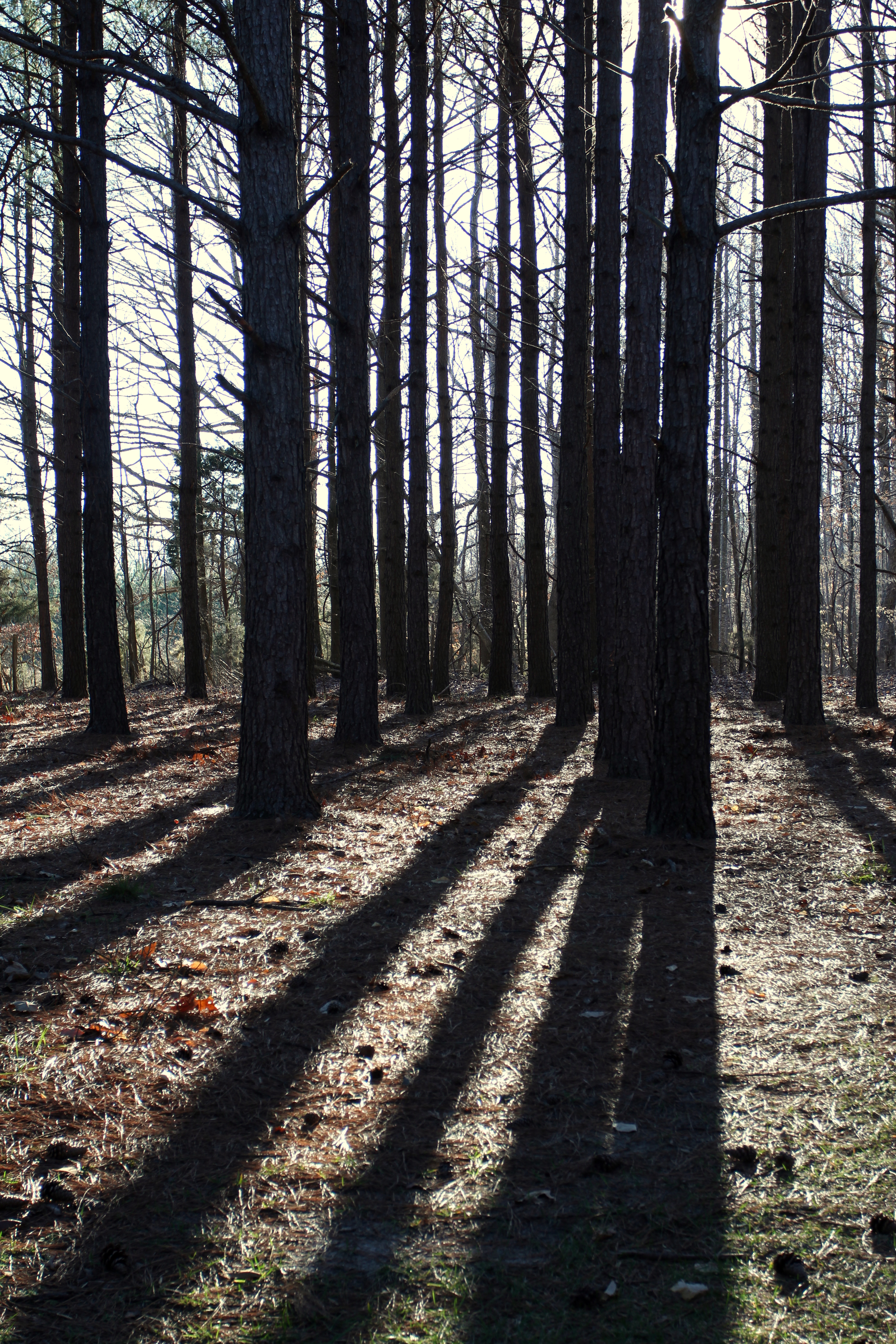
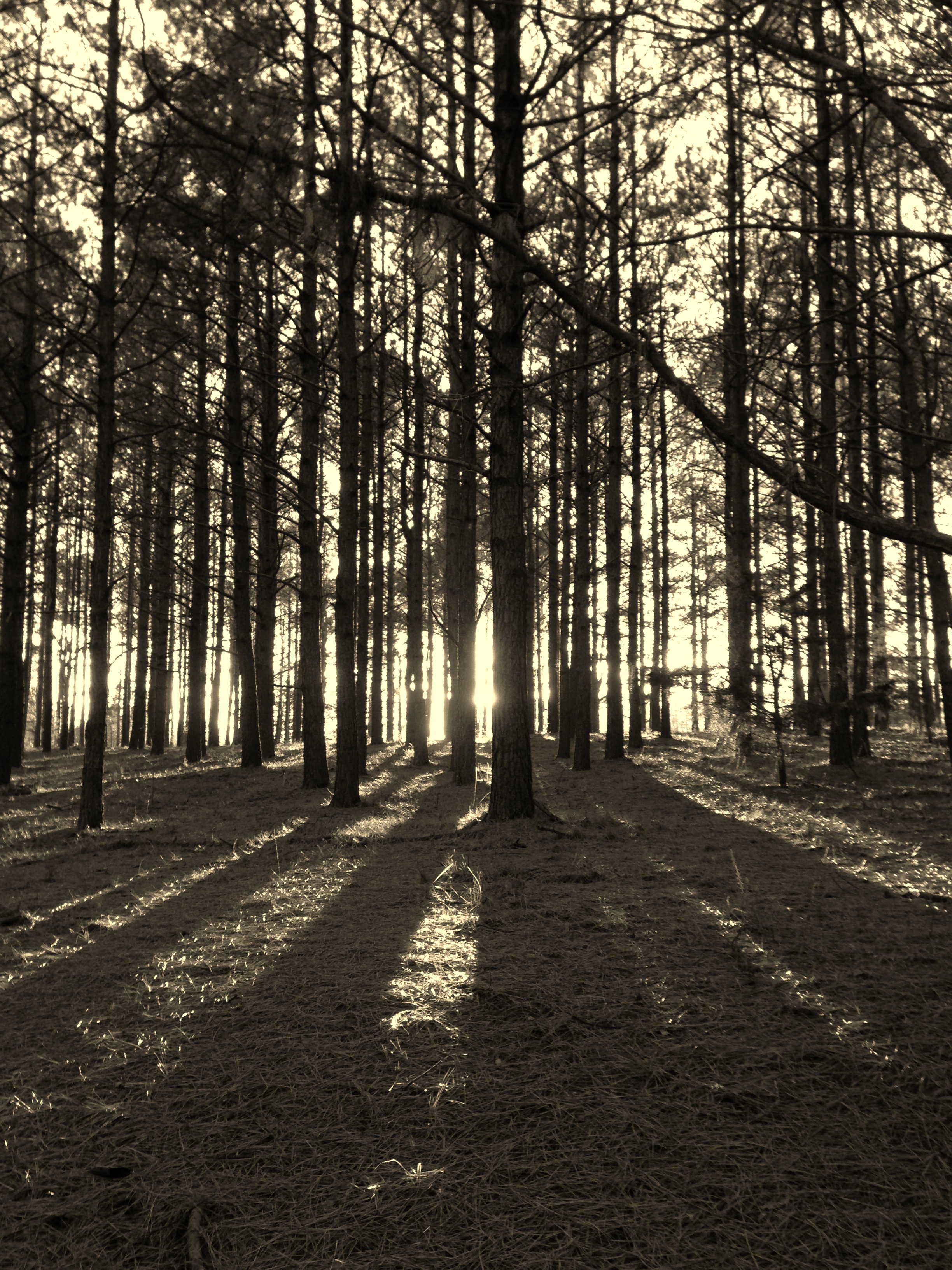
Love this view #pineforest #country
Sailor's Creek Battlefield State Park
2011-05-21_18.02.42
View from the garden
View from Hillman House
View from Hillsman House

My view for the next several hours

Crewe Railroad Museum
Front view - no door yet

Ameila County Monument & Courthouse
IMG_5947-1

Up Namozine Road. #clouds #sky

IMG_5926-1
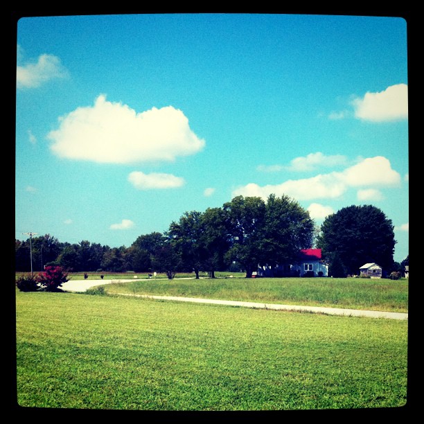
Grandpa Johnie built his place in a bend in the road
IMG_5927-1
Down by the pond

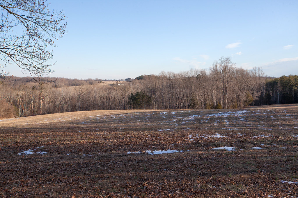
Winter On The Battlefield
Spraying weeds - a long way to go

IMG_5948-1
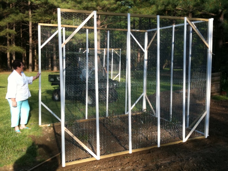
Grandpa Johnnie's house and the chickenhouse
IMG_5961-1

IMG_1847.jpg
Down by the pond

Sailors Cr Battlefield- Amelia Co VA 1993 c
Front moving through

Road through the hills...
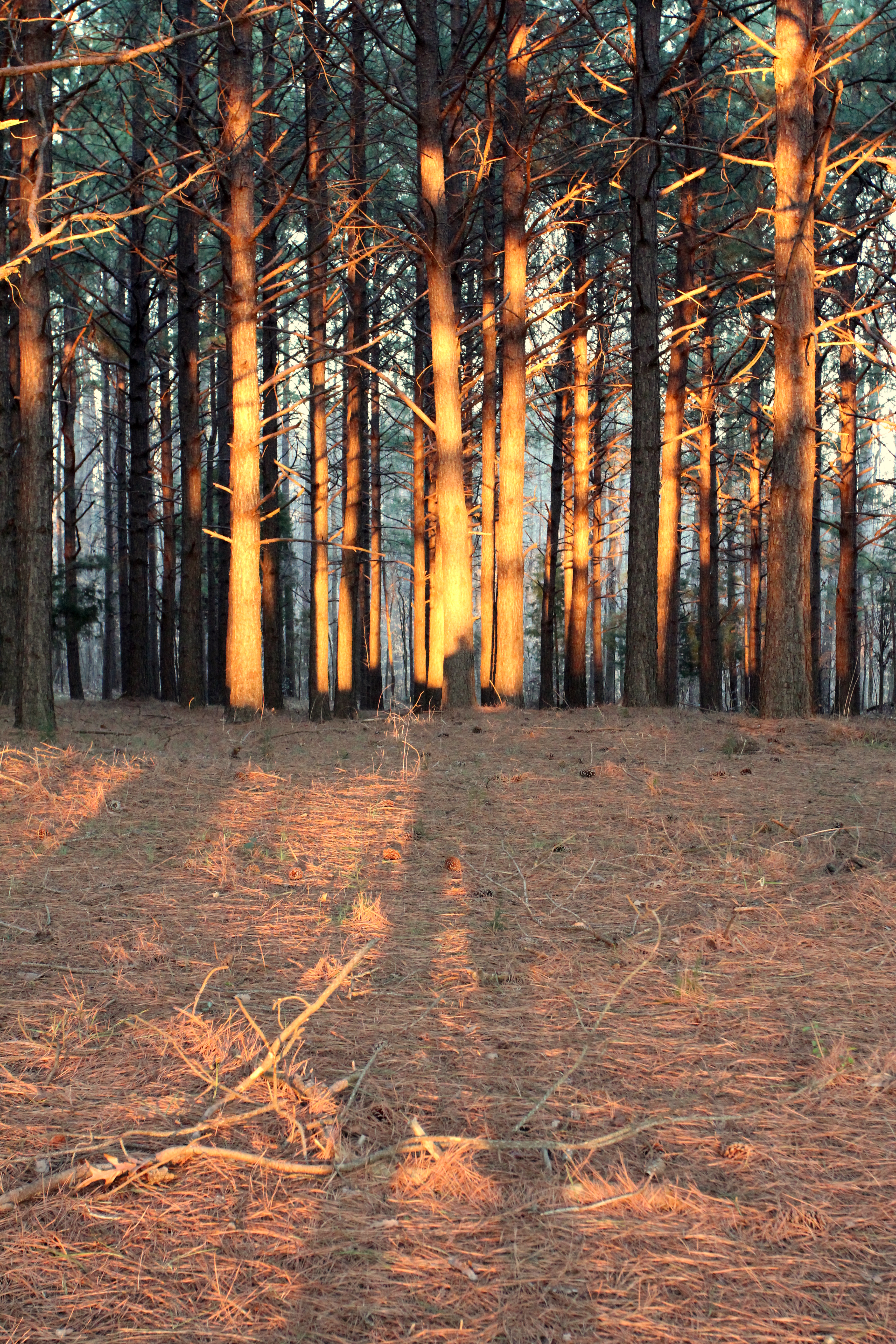
Long shadows
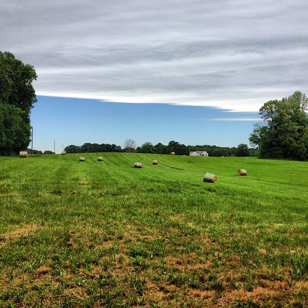
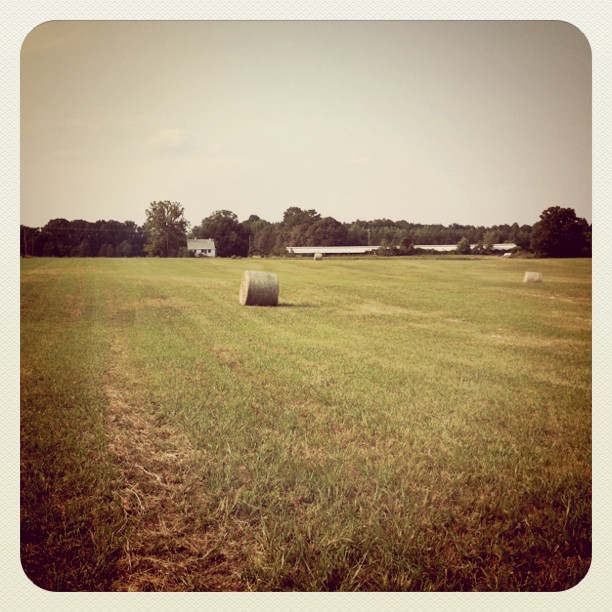
The hay field was recently cut

#2000
Topographic Map of 3, VA, USA
Find elevation by address:

Places in 3, VA, USA:
Places near 3, VA, USA:
Patrick Henry Hwy, Crewe, VA, USA
Crewe
Jetersville
Thompson Lane
2, VA, USA
35 E Colonial Trail Hwy, Burkeville, VA, USA
Nottoway Court House
5650 Old Nottoway Rd
3, VA, USA
Burkeville
8430 Va-616
E Sayler's Creek Rd, Jetersville, VA, USA
1, VA, USA
Nottoway County
Patrick Henry Hwy, Amelia Court House, VA, USA
Amelia County
1, VA, USA
Amelia Court House
18151 W Pridesville Rd
Genito Rd, Jetersville, VA, USA
Recent Searches:
- Elevation of 6 Rue Jules Ferry, Beausoleil, France
- Elevation of Sattva Horizon, 4JC6+G9P, Vinayak Nagar, Kattigenahalli, Bengaluru, Karnataka, India
- Elevation of Great Brook Sports, Gold Star Hwy, Groton, CT, USA
- Elevation of 10 Mountain Laurels Dr, Nashua, NH, USA
- Elevation of 16 Gilboa Ln, Nashua, NH, USA
- Elevation of Laurel Rd, Townsend, TN, USA
- Elevation of 3 Nestling Wood Dr, Long Valley, NJ, USA
- Elevation of Ilungu, Tanzania
- Elevation of Yellow Springs Road, Yellow Springs Rd, Chester Springs, PA, USA
- Elevation of Rēzekne Municipality, Latvia