Elevation of Nottoway County, VA, USA
Location: United States > Virginia >
Longitude: -78.019538
Latitude: 37.1148487
Elevation: 112m / 367feet
Barometric Pressure: 100KPa
Elevation Map:
Satellite Map:
Related Photos:
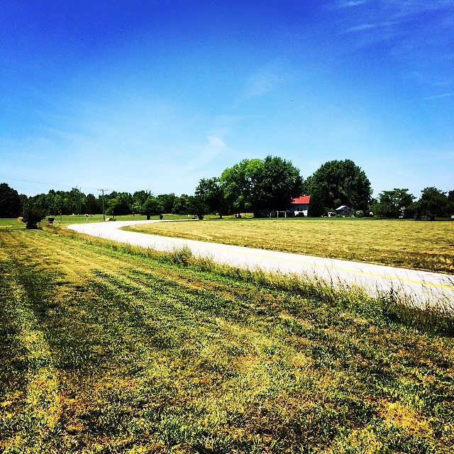
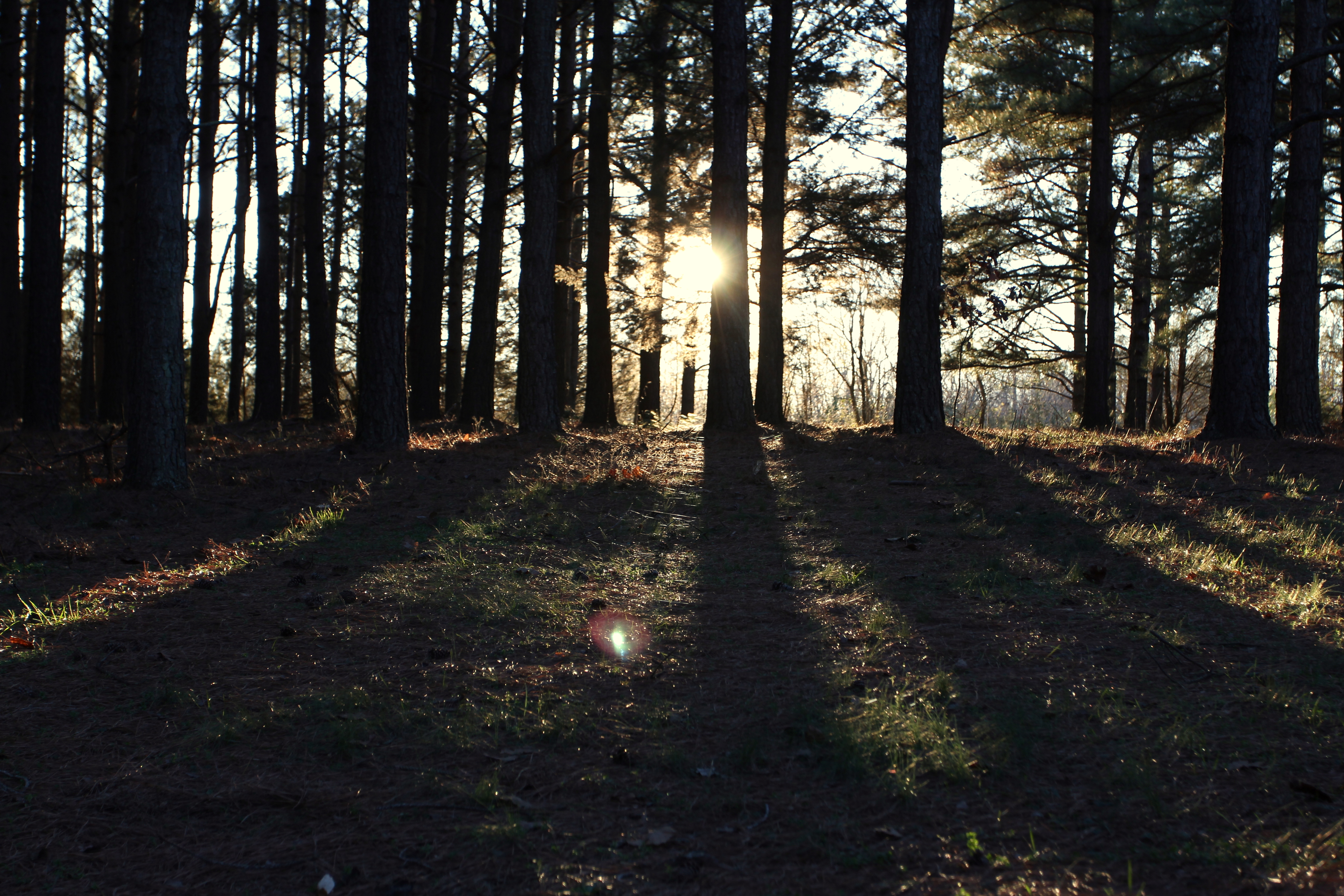
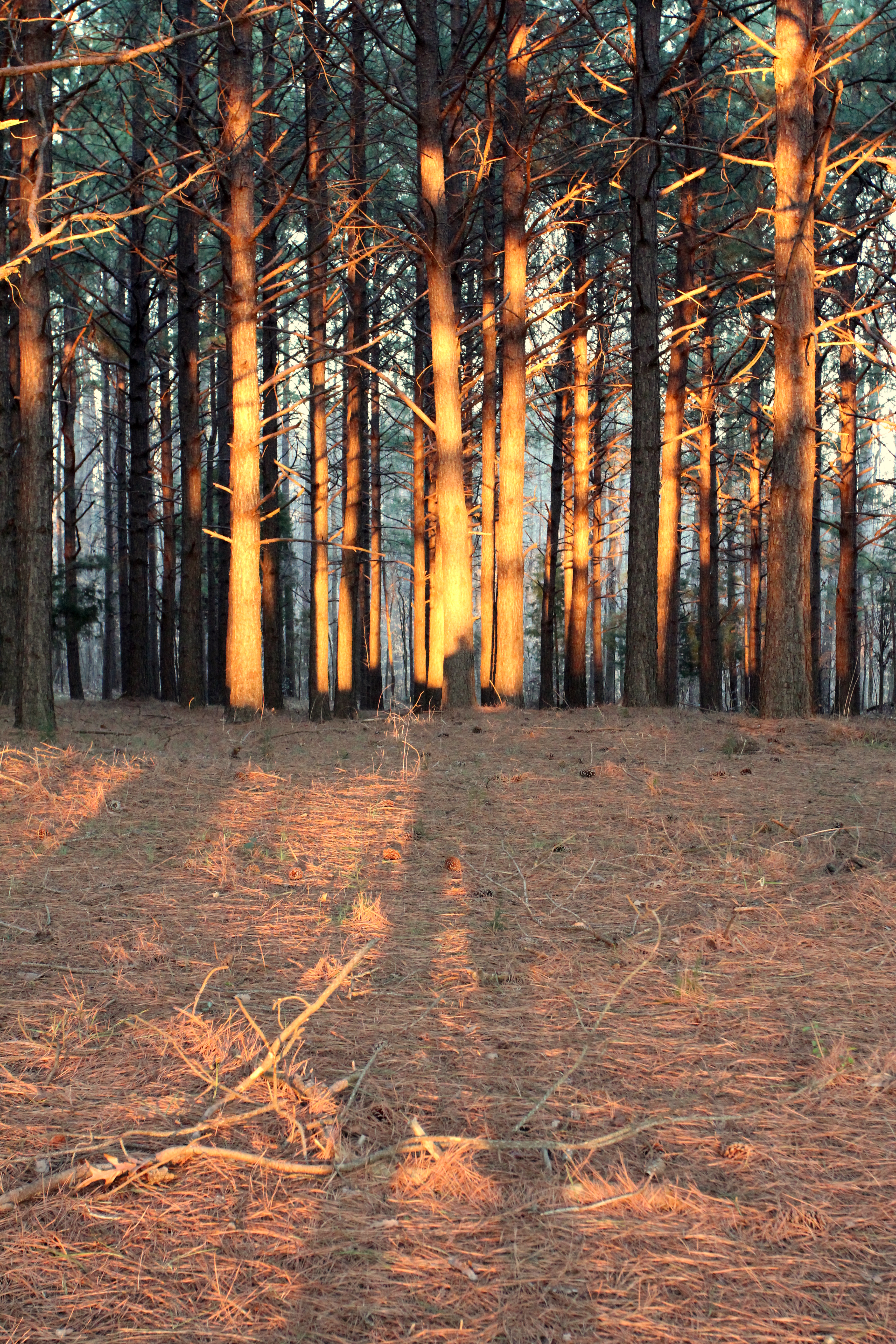
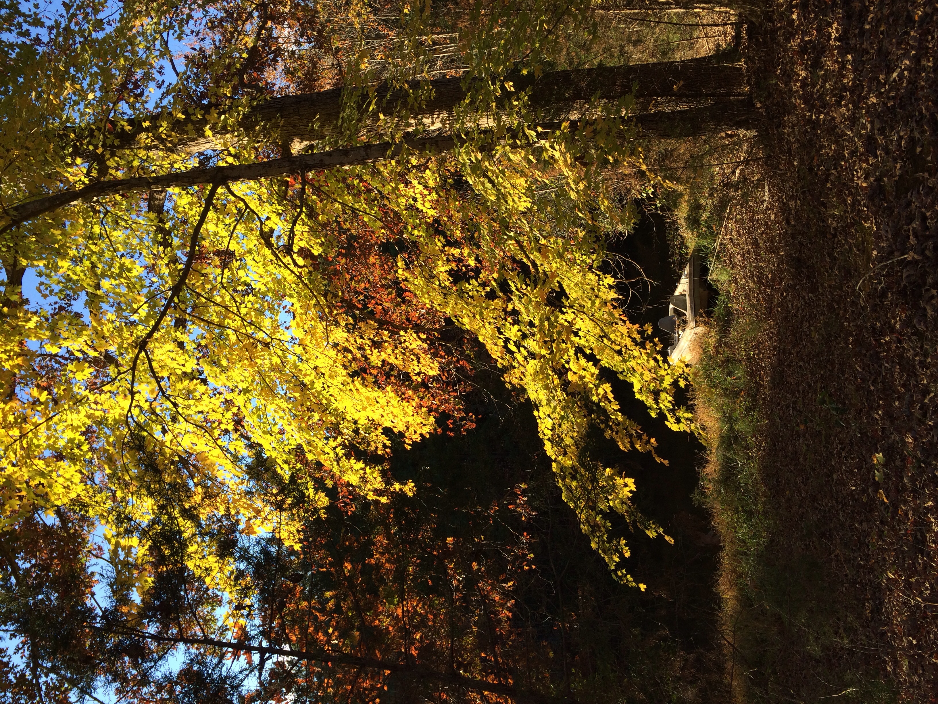
Love this view #pineforest #country

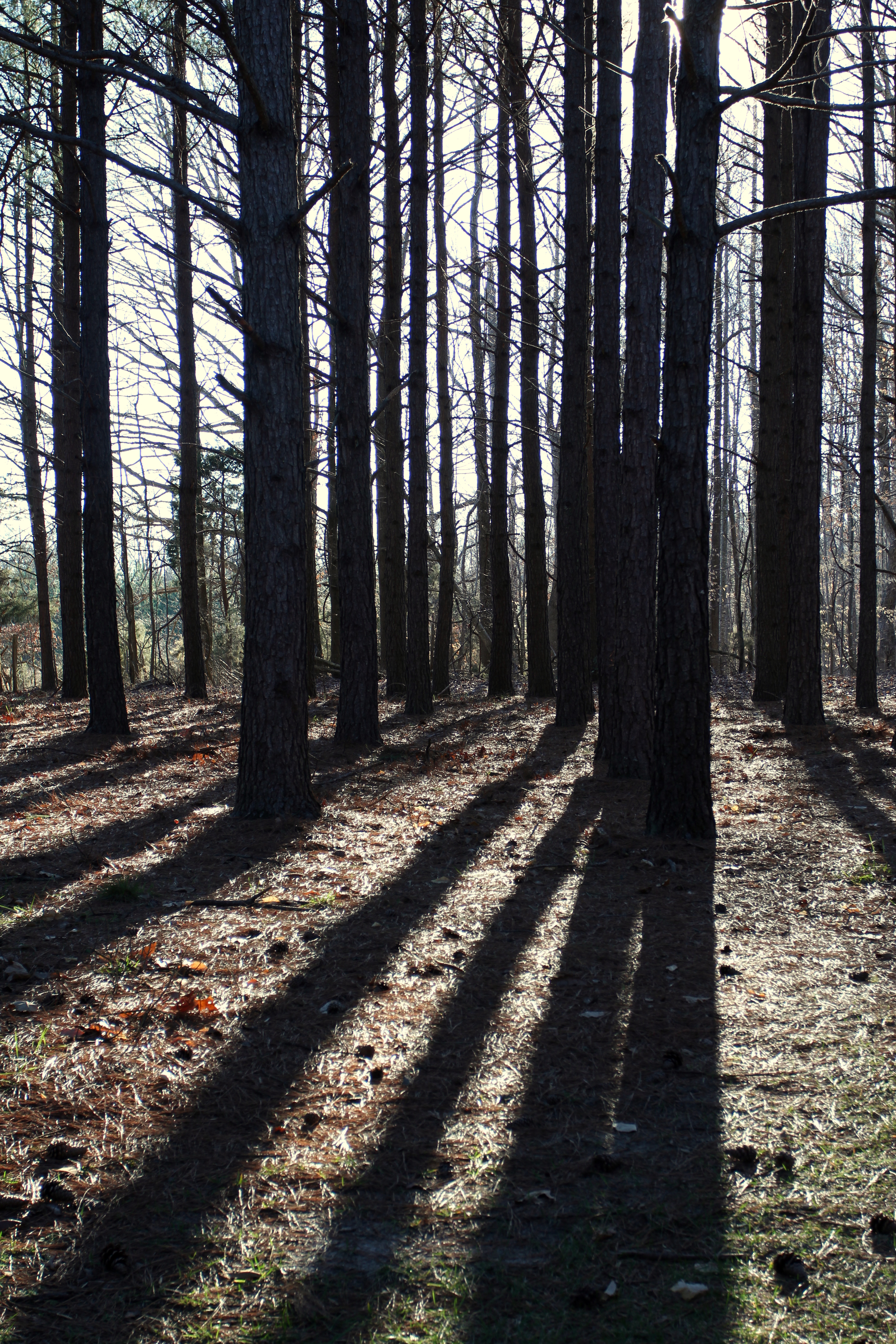
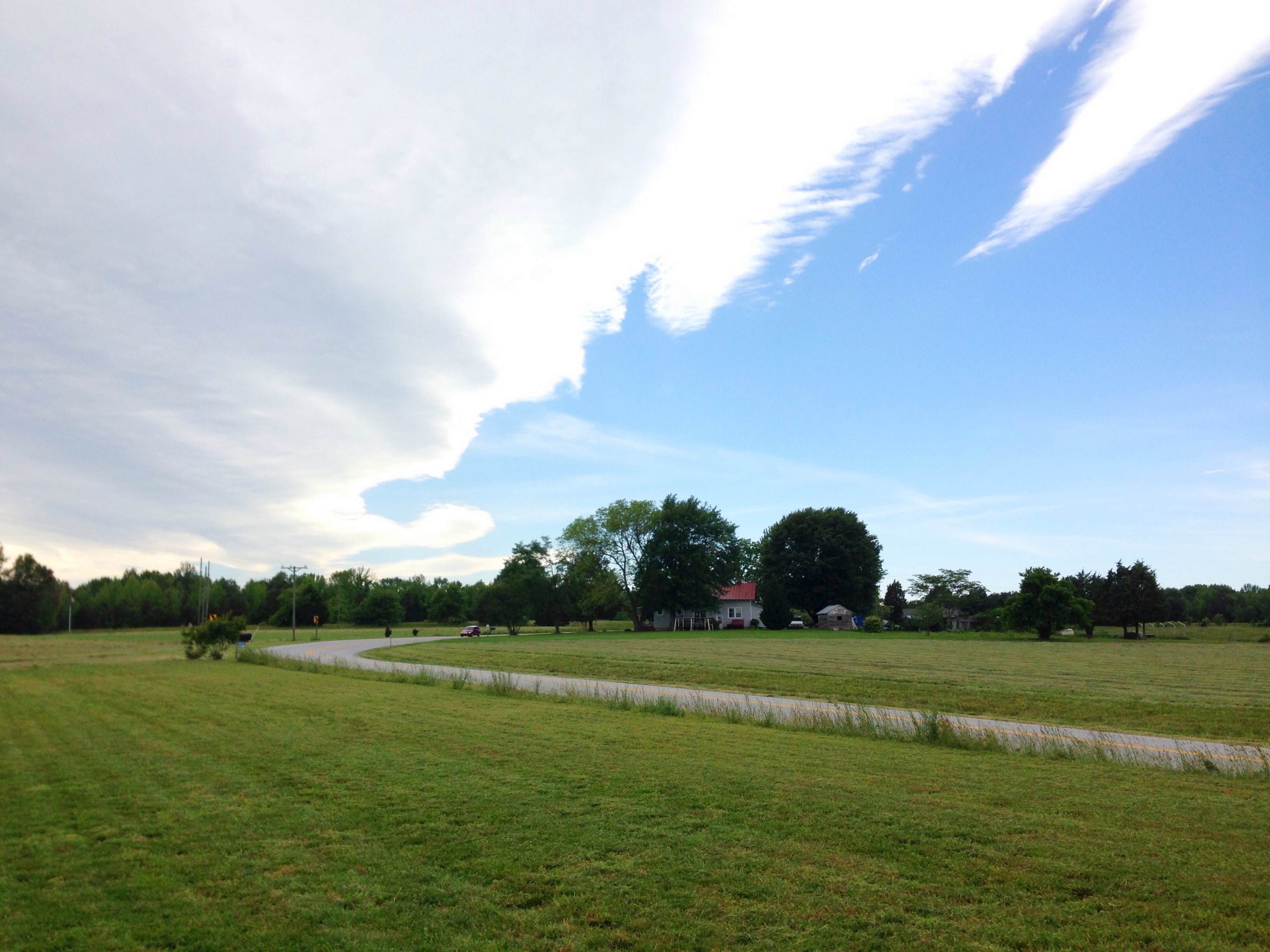
Country Evening
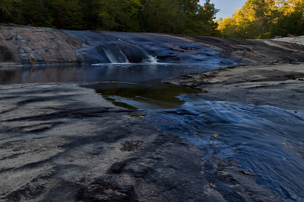
Surprise! Falls Relatively Close to Home - Nottoway Falls

My view for the next several hours
View from the garden

Crewe Railroad Museum
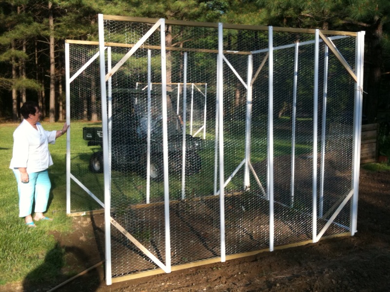
Front view - no door yet
IMG_5947-1

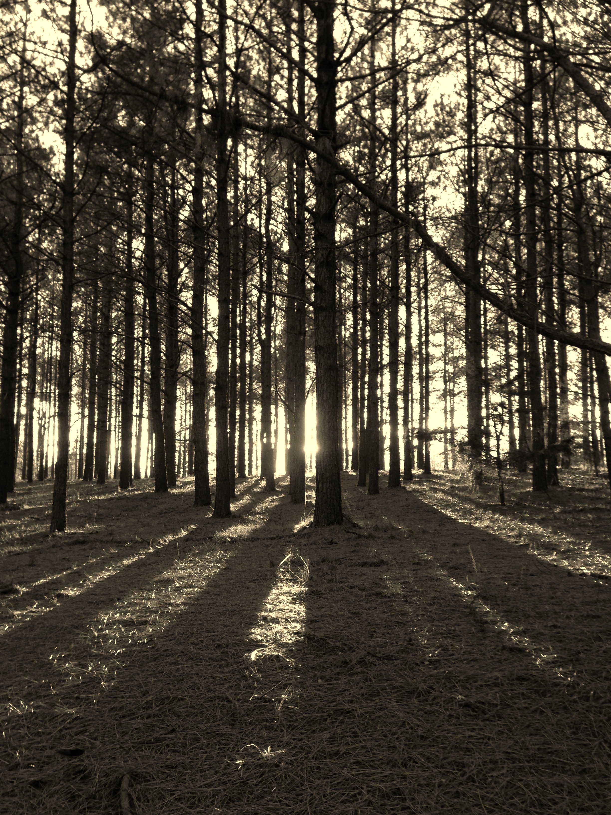
Up Namozine Road. #clouds #sky

IMG_5923-1

IMG_5926-1
IMG_5927-1
Down by the pond
Grandpa Johnie built his place in a bend in the road
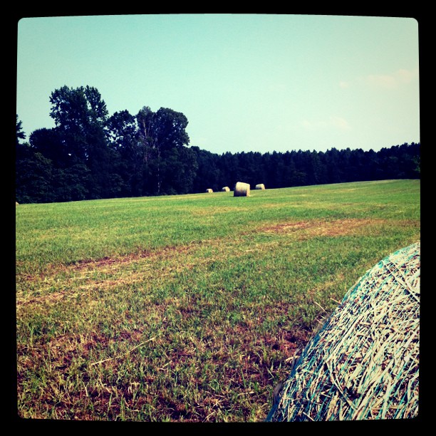
Hay, baled
Spraying weeds - a long way to go

IMG_5948-1
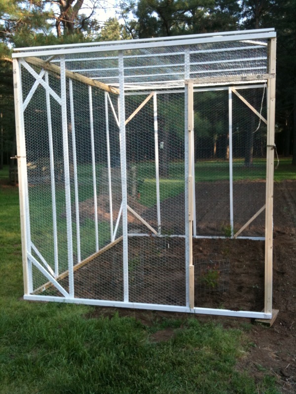
Grandpa Johnnie's house and the chickenhouse
IMG_5961-1
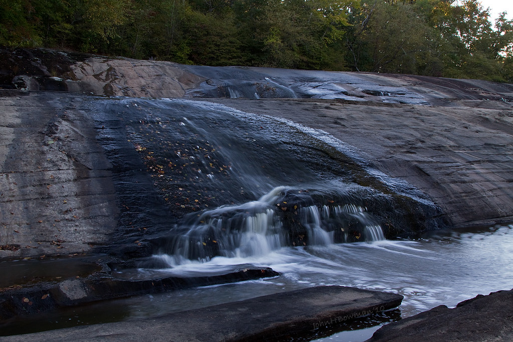
Nottoway Falls 2

IMG_5929-1
Down by the pond

The front field
Front moving through
Long shadows
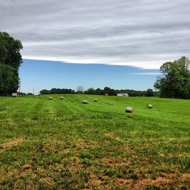
The hay field was recently cut

#2000
Topographic Map of Nottoway County, VA, USA
Find elevation by address:

Places in Nottoway County, VA, USA:
Places near Nottoway County, VA, USA:
5650 Old Nottoway Rd
2, VA, USA
Nottoway Court House
Crewe
3, VA, USA
Wilsons
Wilson Rd, Wilsons, VA, USA
1, VA, USA
Patrick Henry Hwy, Crewe, VA, USA
35 E Colonial Trail Hwy, Burkeville, VA, USA
VA-40, Kenbridge, VA, USA
319 Main St
3, VA, USA
11600 Sweathouse Creek Lane
Jetersville
Burkeville
12250 Little Patrick Rd
Thompson Lane
Amelia County
6331 Beaver Ln
Recent Searches:
- Elevation of 6 Rue Jules Ferry, Beausoleil, France
- Elevation of Sattva Horizon, 4JC6+G9P, Vinayak Nagar, Kattigenahalli, Bengaluru, Karnataka, India
- Elevation of Great Brook Sports, Gold Star Hwy, Groton, CT, USA
- Elevation of 10 Mountain Laurels Dr, Nashua, NH, USA
- Elevation of 16 Gilboa Ln, Nashua, NH, USA
- Elevation of Laurel Rd, Townsend, TN, USA
- Elevation of 3 Nestling Wood Dr, Long Valley, NJ, USA
- Elevation of Ilungu, Tanzania
- Elevation of Yellow Springs Road, Yellow Springs Rd, Chester Springs, PA, USA
- Elevation of Rēzekne Municipality, Latvia