Elevation of Parks Rd, Scranton, AR, USA
Location: United States > Arkansas > Logan County > Logan Township >
Longitude: -93.517803
Latitude: 35.334444
Elevation: 128m / 420feet
Barometric Pressure: 100KPa
Elevation Map:
Satellite Map:
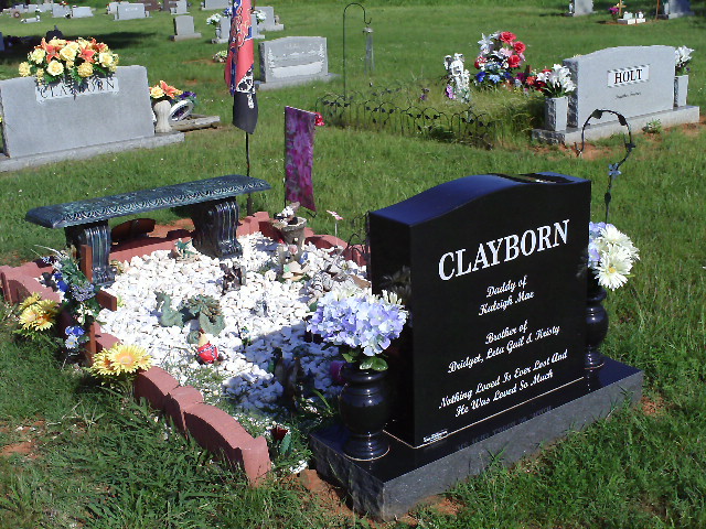
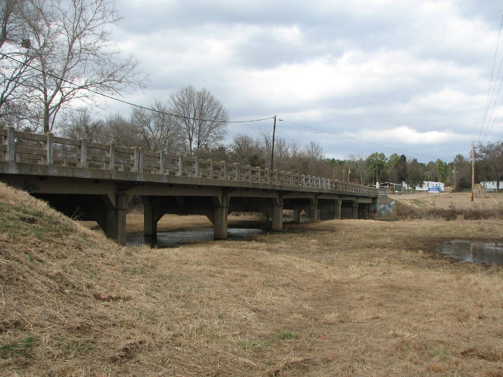
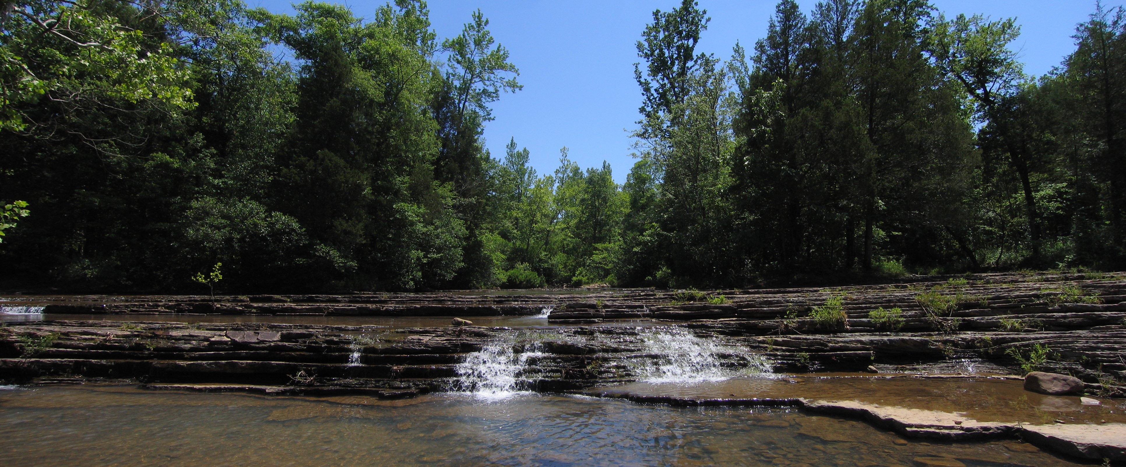
Related Photos:
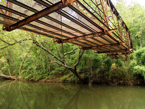
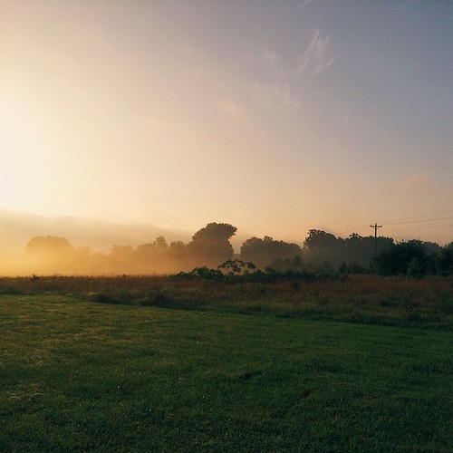
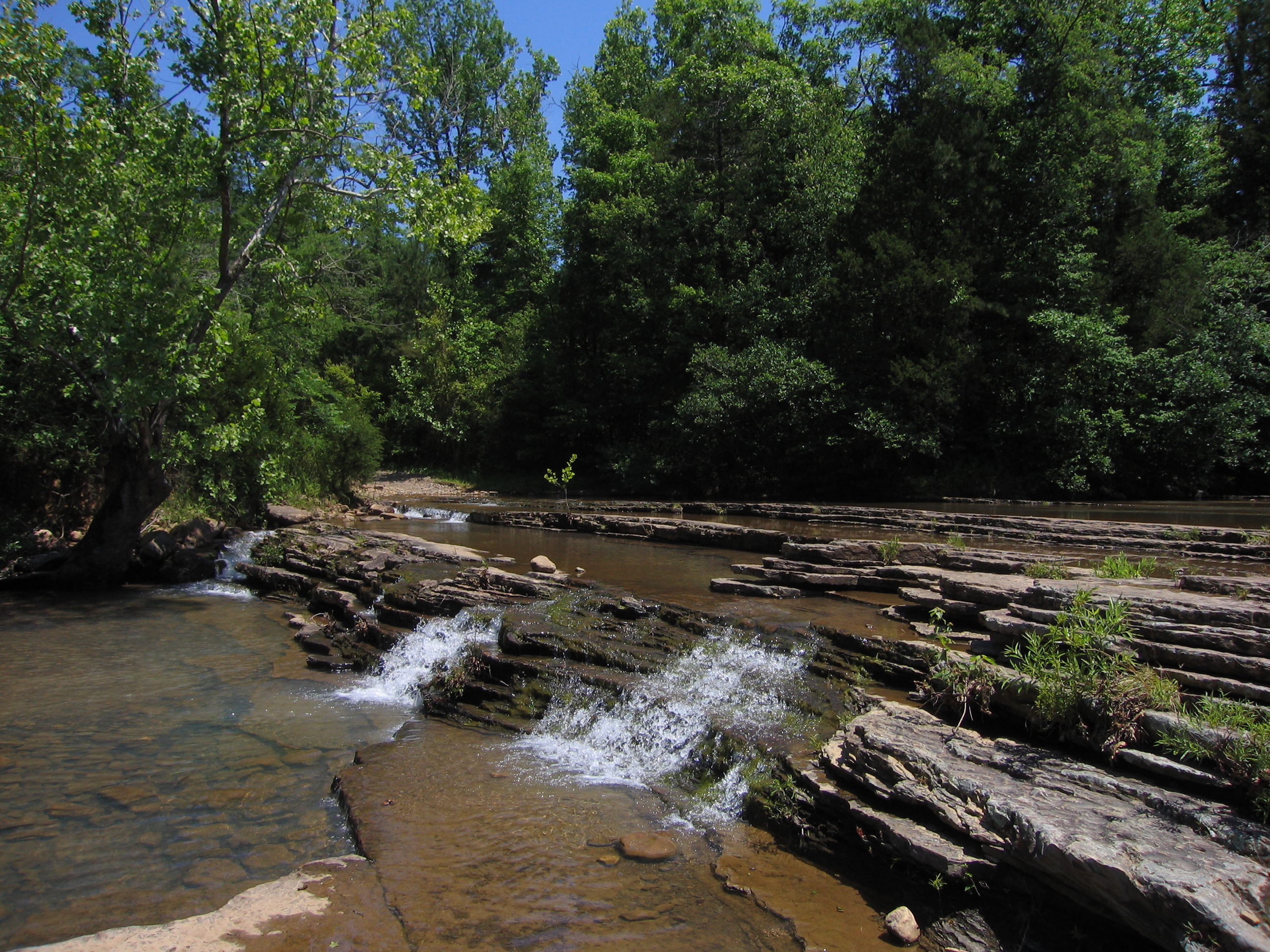
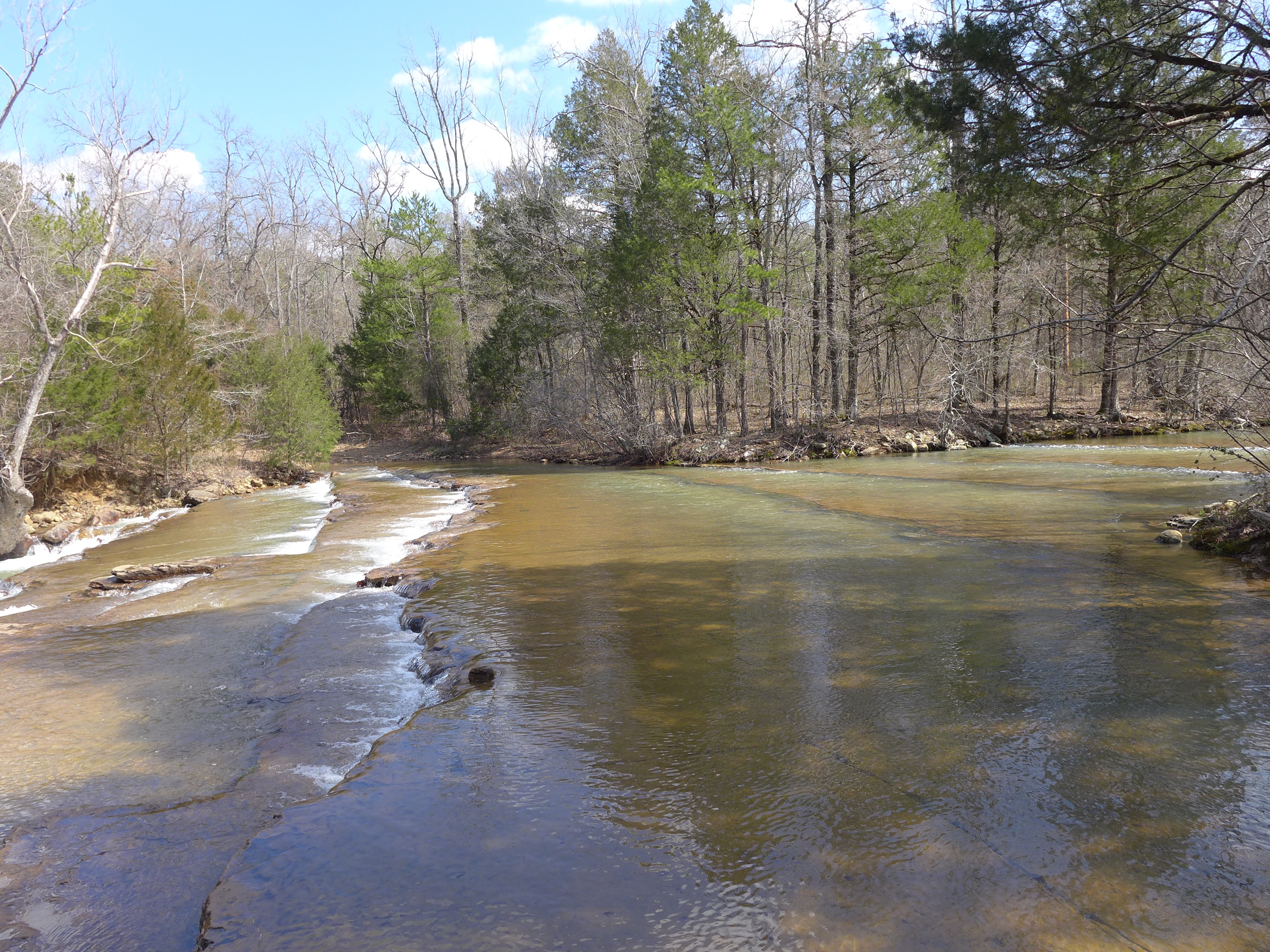
Spadra Creek

view from my room
US 64-Horsehead Creek Side View-Close
Little Shoal Creek-Deck View
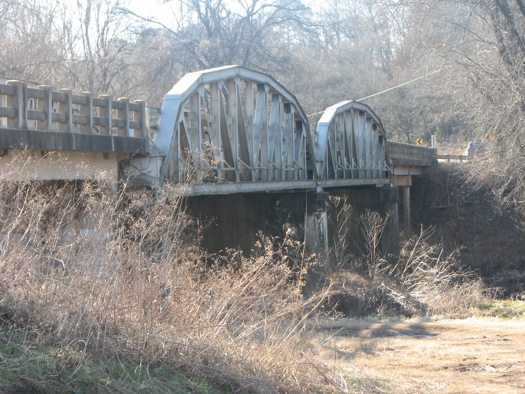
US 64-Horsehead Creek-Side View
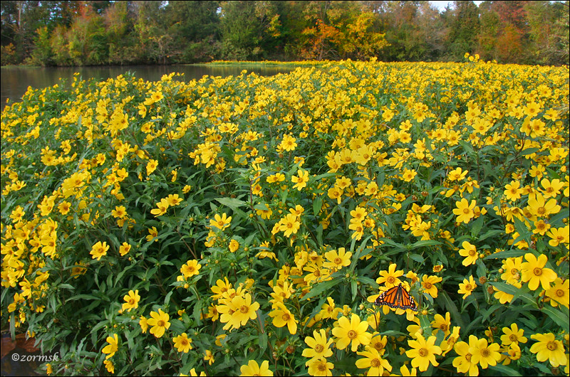
So Many Dragons
Little Shoal Creek-Side View

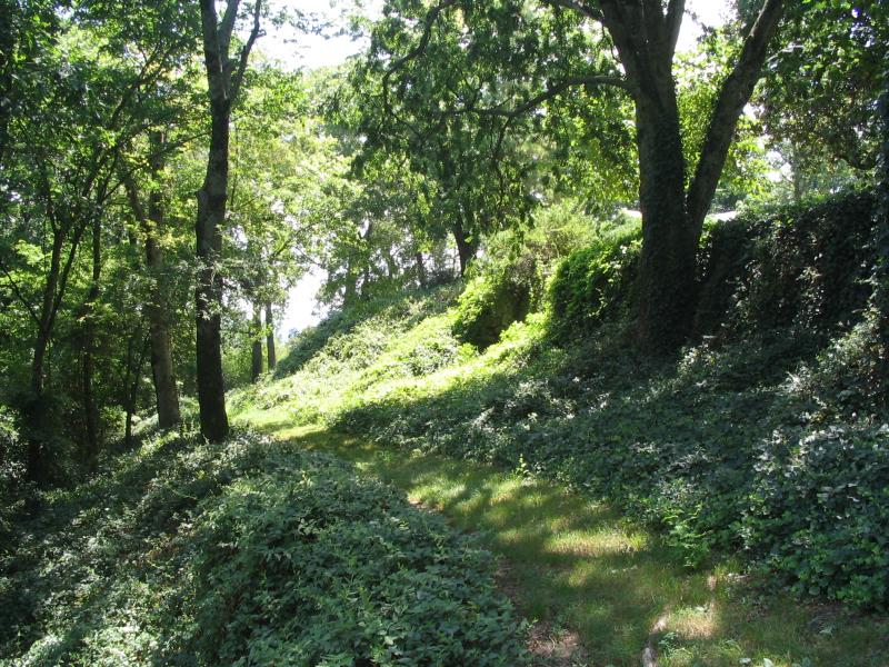
Clayton view shoals creek
Mt. Magazine waterfall

20151007_184203_Richtone(HDR)
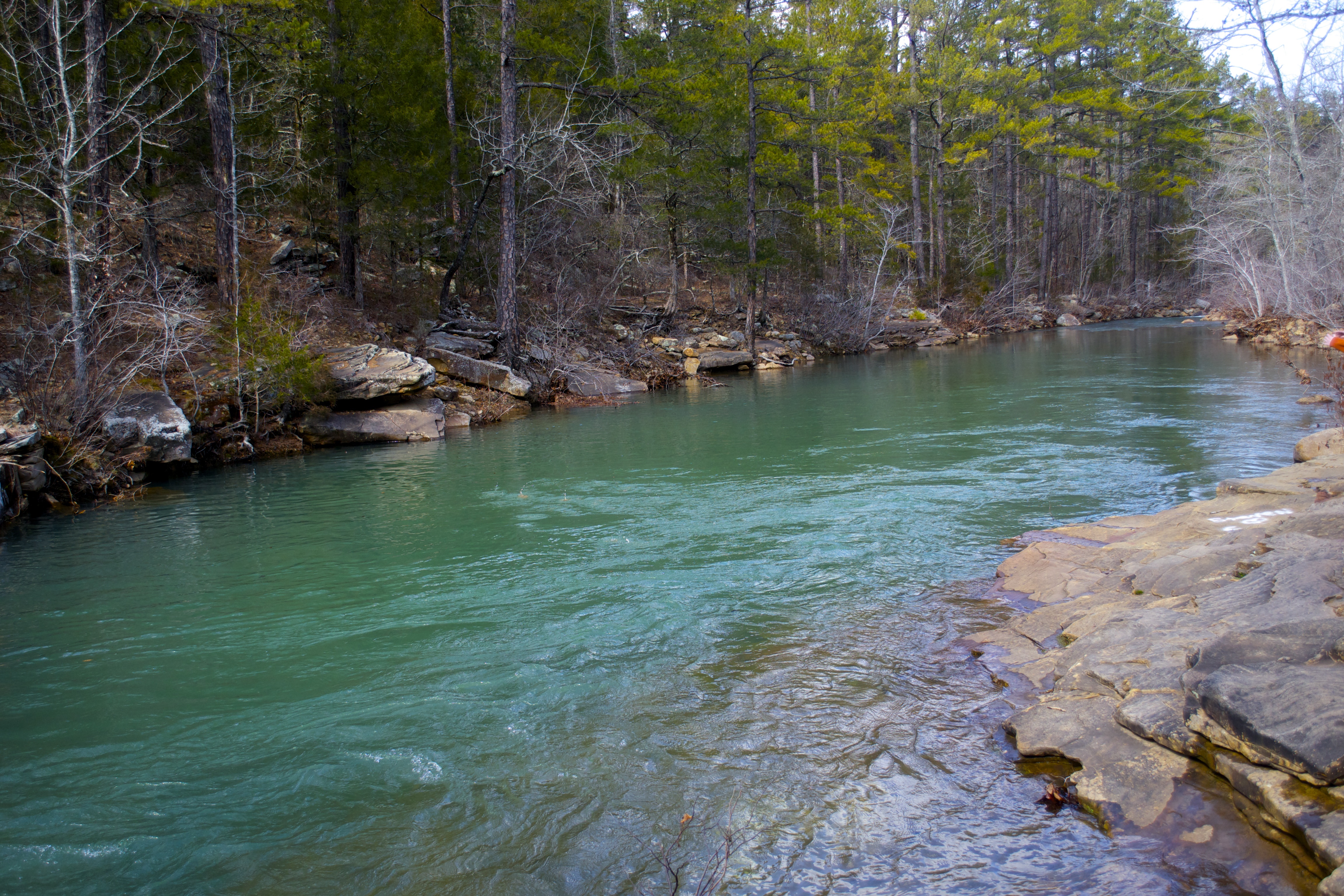
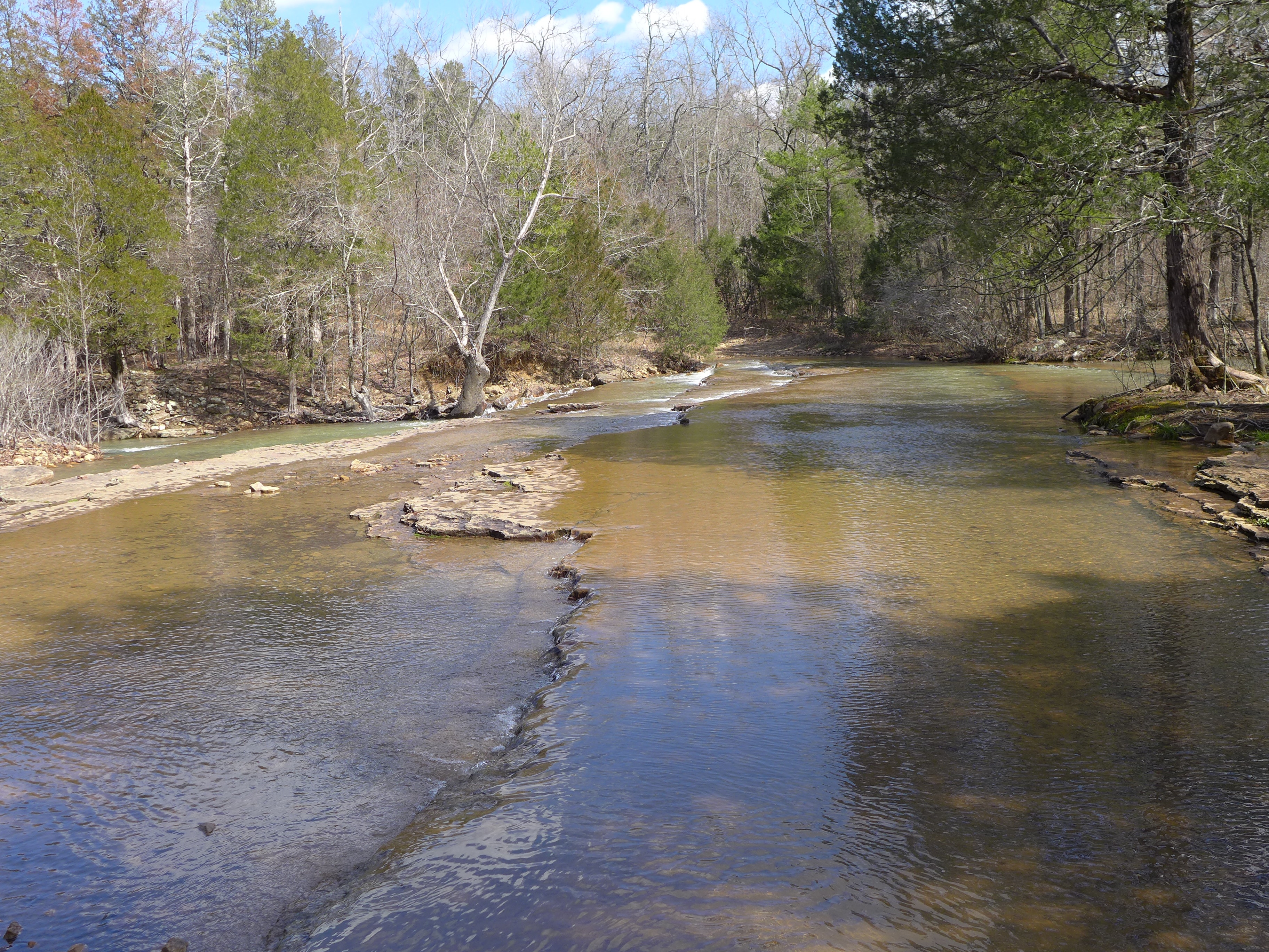
Shoals creek
A new morning — a fresh start
no reason to sigh
Spot of orange (3765a)
Shoals creek
Mt. Magazine waterfall
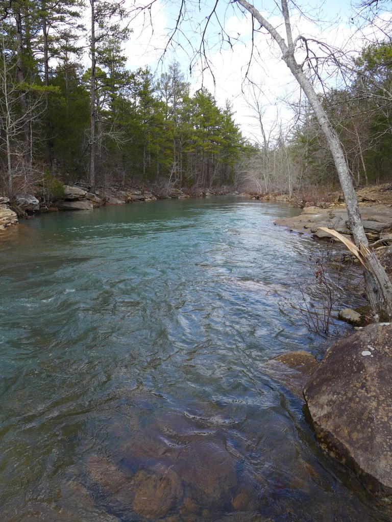
Shoals creek in ozark national forest
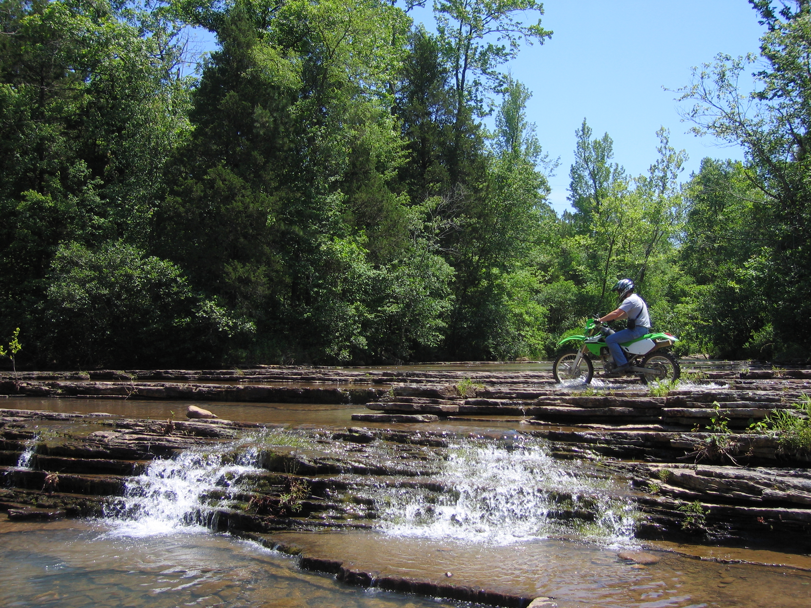
Fording the falls
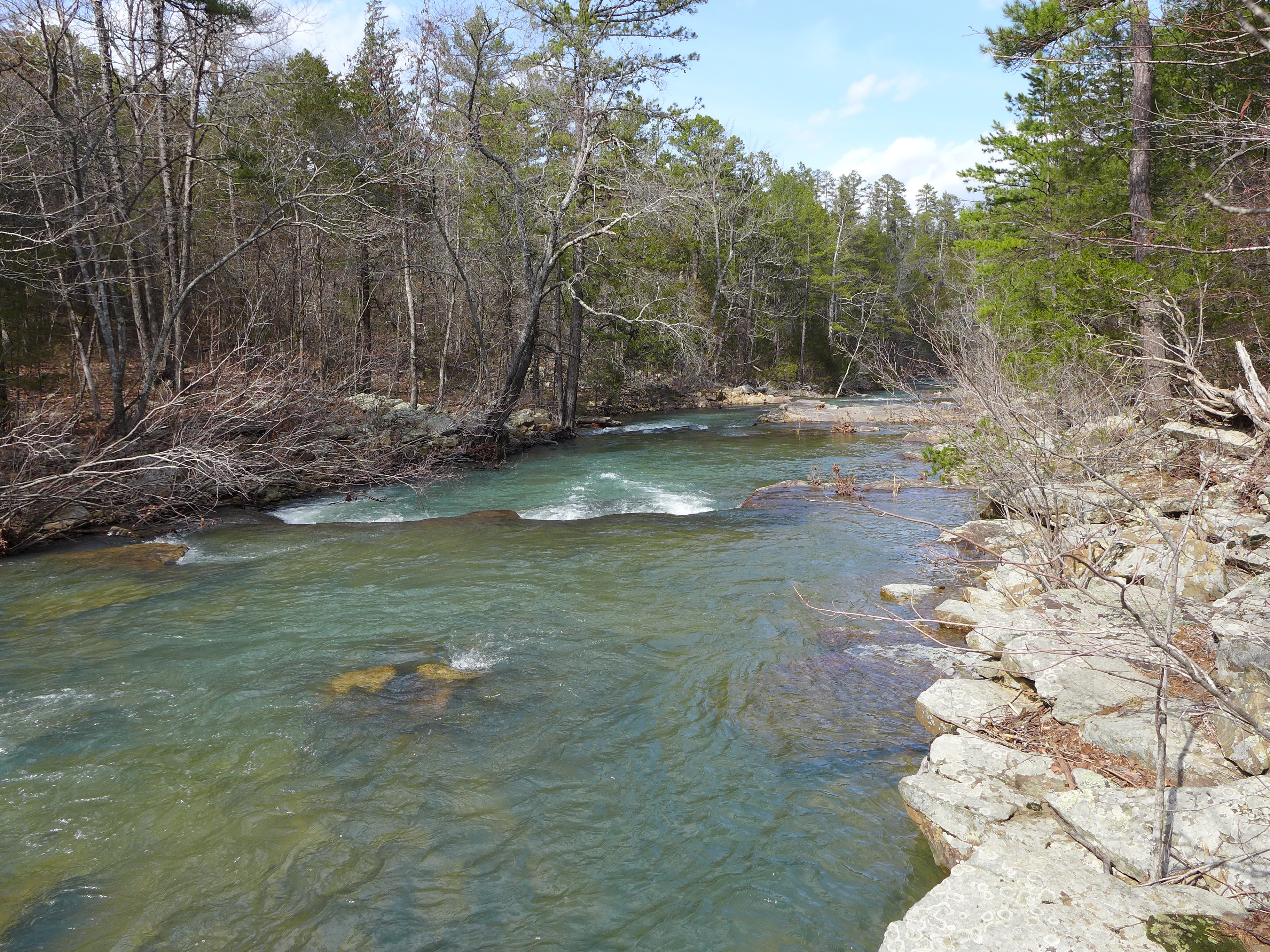
Shoals creek
Shoals creek
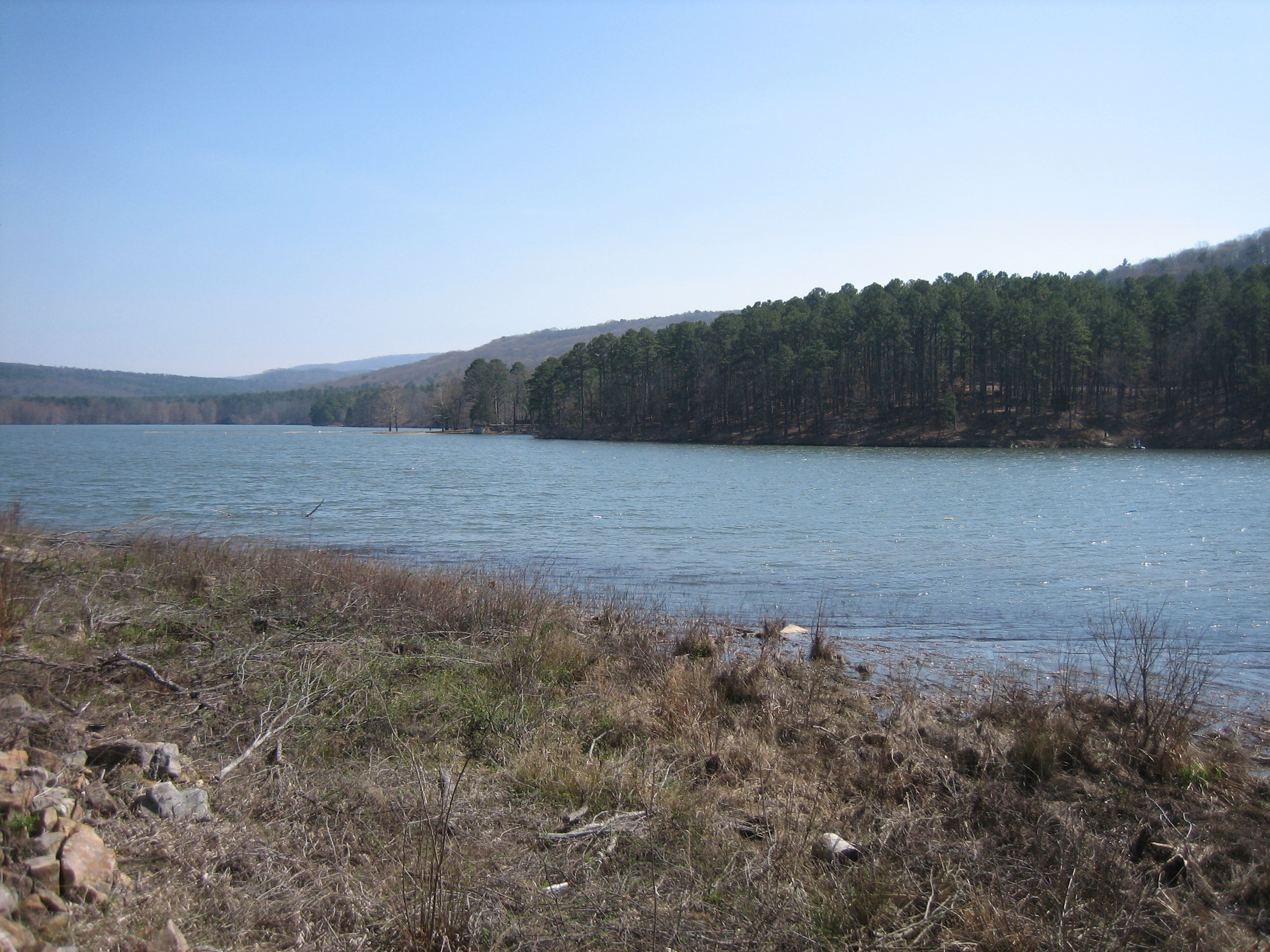
Cove Lake
Topographic Map of Parks Rd, Scranton, AR, USA
Find elevation by address:

Places near Parks Rd, Scranton, AR, USA:
Scranton
AR-, Scranton, AR, USA
River Township
Co Rd, Hartman, AR, USA
Co Rd, Hartman, AR, USA
4473 Cottontown Rd
Prairie Township
County Road 2260
Burlison St, Hartman, AR, USA
Ward Township
Hartman
Co Rd, Clarksville, AR, USA
Grant Township
US-64, Coal Hill, AR, USA
Coal Hill
1314 Co Rd 3020
Alix Township
8537 Us-64
Roseville Township
E Church St, Altus, AR, USA
Recent Searches:
- Elevation of Chesaw Rd, Oroville, WA, USA
- Elevation of N, Mt Pleasant, UT, USA
- Elevation of 6 Rue Jules Ferry, Beausoleil, France
- Elevation of Sattva Horizon, 4JC6+G9P, Vinayak Nagar, Kattigenahalli, Bengaluru, Karnataka, India
- Elevation of Great Brook Sports, Gold Star Hwy, Groton, CT, USA
- Elevation of 10 Mountain Laurels Dr, Nashua, NH, USA
- Elevation of 16 Gilboa Ln, Nashua, NH, USA
- Elevation of Laurel Rd, Townsend, TN, USA
- Elevation of 3 Nestling Wood Dr, Long Valley, NJ, USA
- Elevation of Ilungu, Tanzania