Elevation of Otter Lake, QC J0X, Canada
Location: Canada > Québec > Pontiac Regional County Municipality > Leslie-clapham-et-huddersfield >
Longitude: -76.429672
Latitude: 45.8488608
Elevation: 210m / 689feet
Barometric Pressure: 99KPa
Elevation Map:
Satellite Map:
Related Photos:
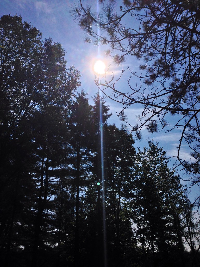
Forest.
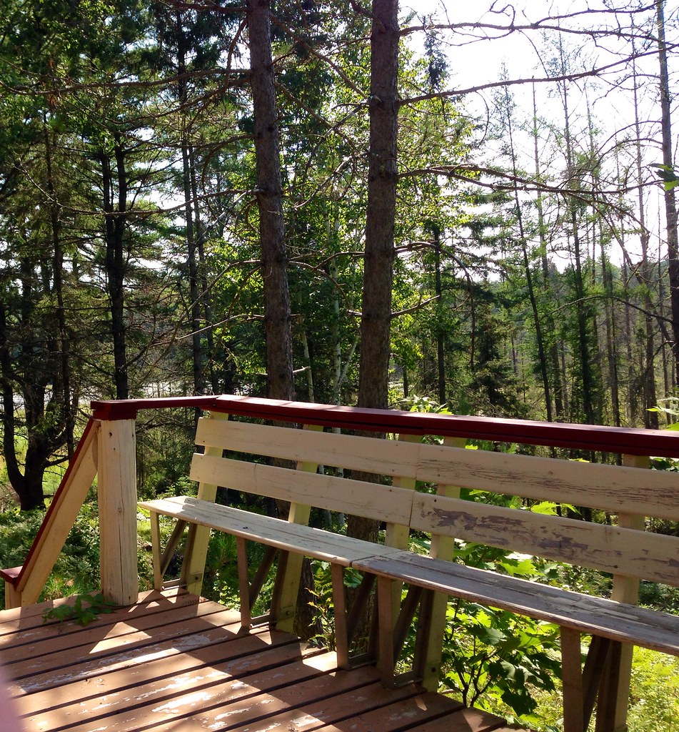
Woods.
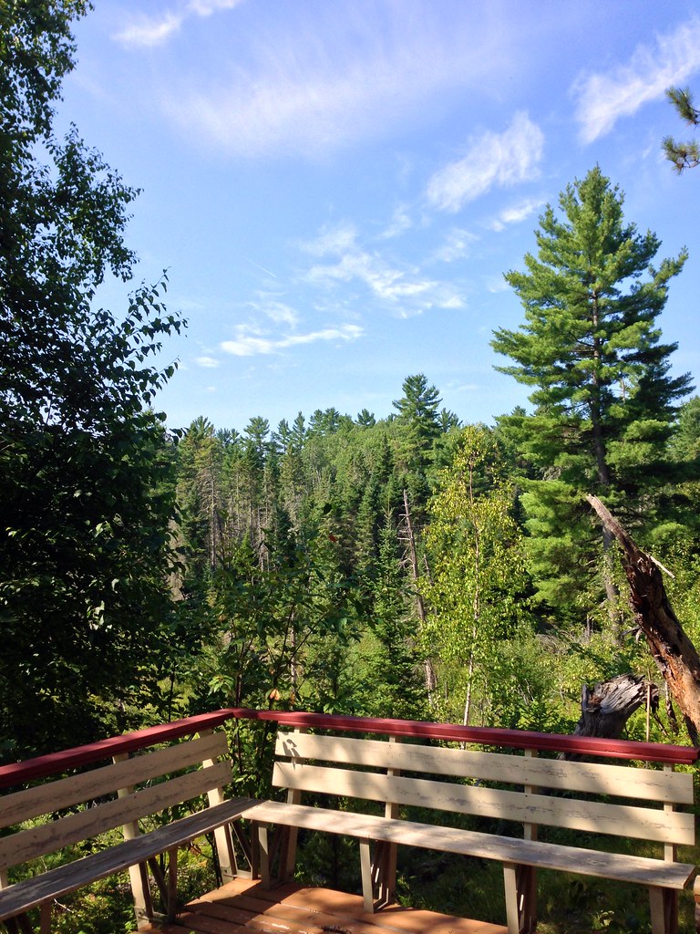
Woods.
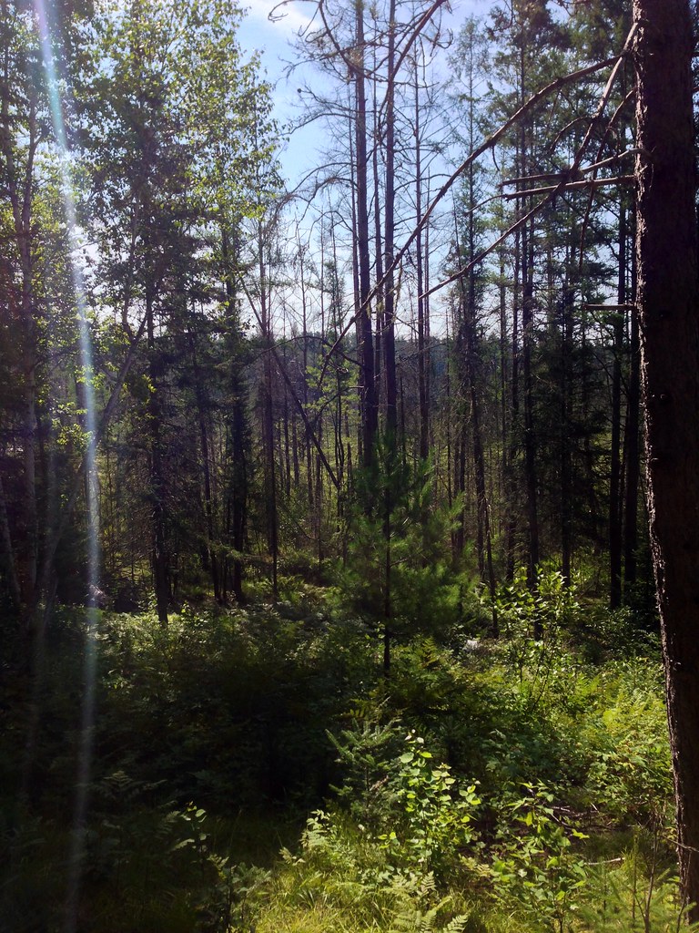
Forest.

Woods.
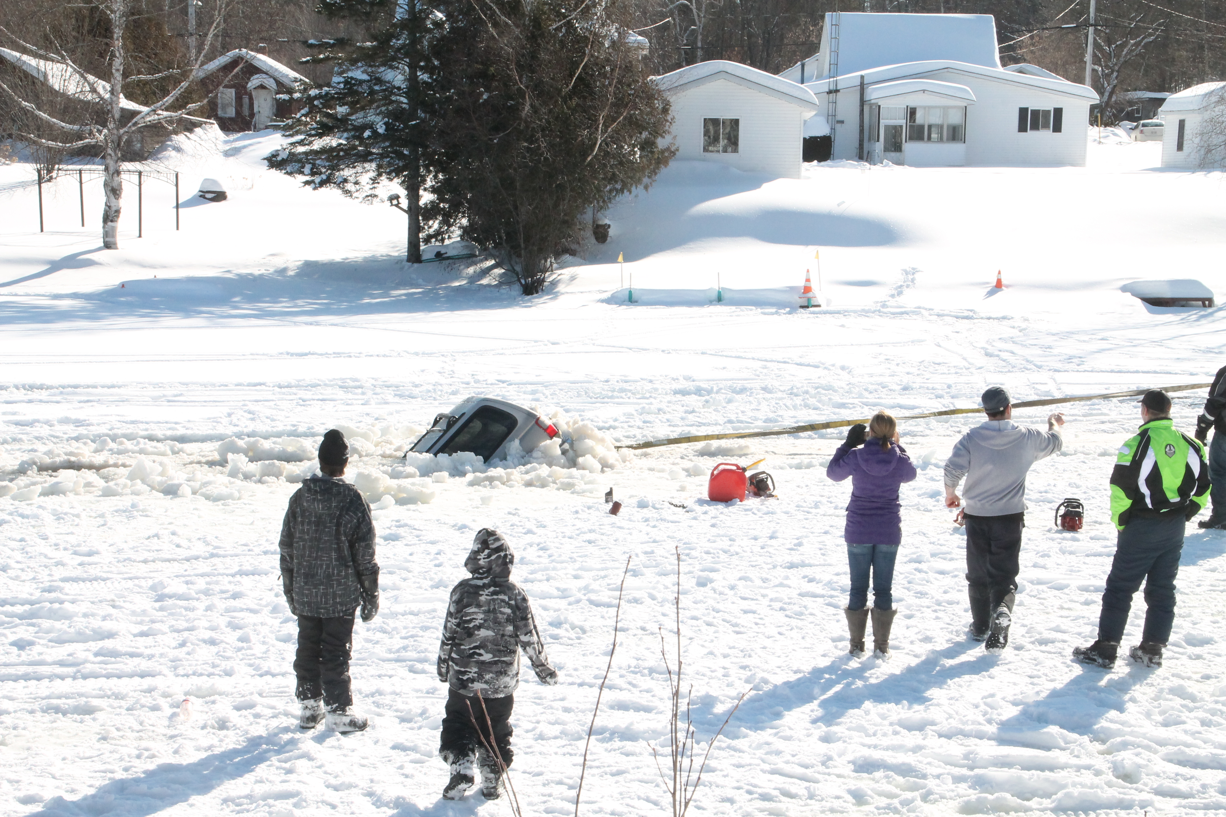
its a pathfinder not a fish finder
Topographic Map of Otter Lake, QC J0X, Canada
Find elevation by address:

Places in Otter Lake, QC J0X, Canada:
Places near Otter Lake, QC J0X, Canada:
Avenue Martineau, Otter Lake, QC J0X 2P0, Canada
Chemin Duval
40 Chemin Sparling, Campbell's Bay, QC J0X 1K0, Canada
Leslie-clapham-et-huddersfield
Thorne
28 Chemin Leslie
Leslie Lake
Thorne
Chemin De La Plage
J0x 2p0
Litchfield
Clarendon
Litchfield
Route 303 Nord
Campbell's Bay
35 Rue Reid
9429 Chemin Du Lac-des-loups
9429 Chemin Du Lac-des-loups
810 Chemin De La Chute
Municipality Of Clarendon
Recent Searches:
- Elevation of 3 Nestling Wood Dr, Long Valley, NJ, USA
- Elevation of Ilungu, Tanzania
- Elevation of Yellow Springs Road, Yellow Springs Rd, Chester Springs, PA, USA
- Elevation of Rēzekne Municipality, Latvia
- Elevation of Plikpūrmaļi, Vērēmi Parish, Rēzekne Municipality, LV-, Latvia
- Elevation of 2 Henschke Ct, Caboolture QLD, Australia
- Elevation of Redondo Ave, Long Beach, CA, USA
- Elevation of Sadovaya Ulitsa, 20, Rezh, Sverdlovskaya oblast', Russia
- Elevation of Ulitsa Kalinina, 79, Rezh, Sverdlovskaya oblast', Russia
- Elevation of 72-31 Metropolitan Ave, Middle Village, NY, USA