Elevation of Thorne, QC J0X, Canada
Location: Canada > Québec > Pontiac Regional County Municipality > Thorne >
Longitude: -76.389622
Latitude: 45.7401229
Elevation: 189m / 620feet
Barometric Pressure: 99KPa
Elevation Map:
Satellite Map:
Related Photos:
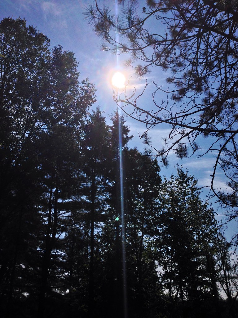
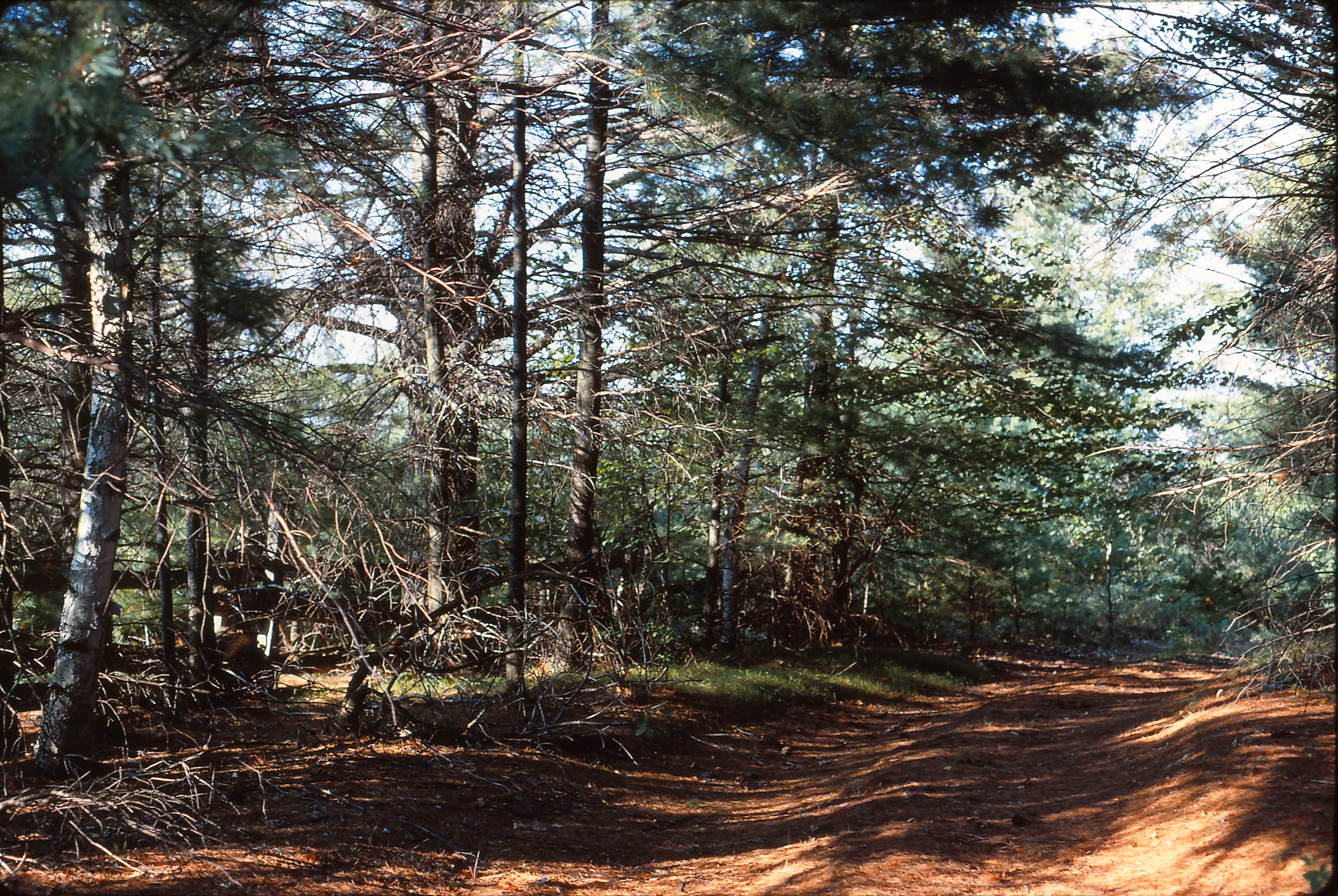
Forest.
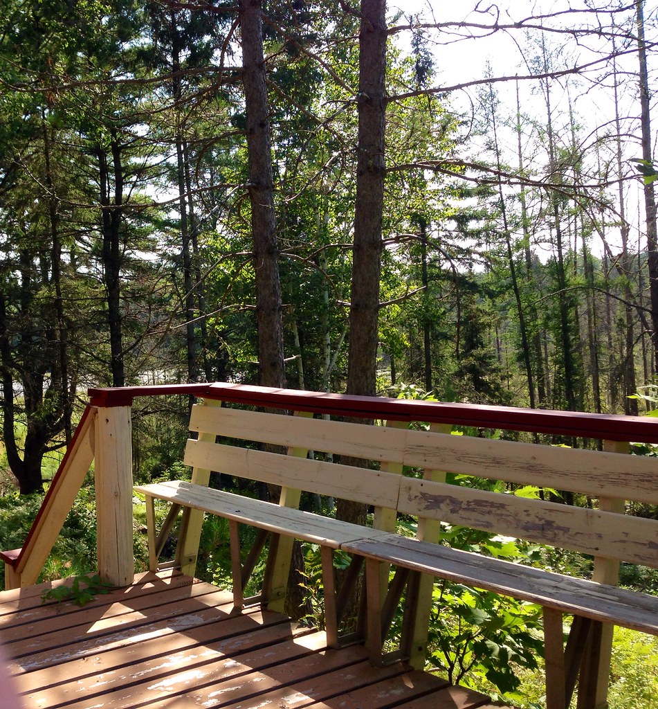
Woods.
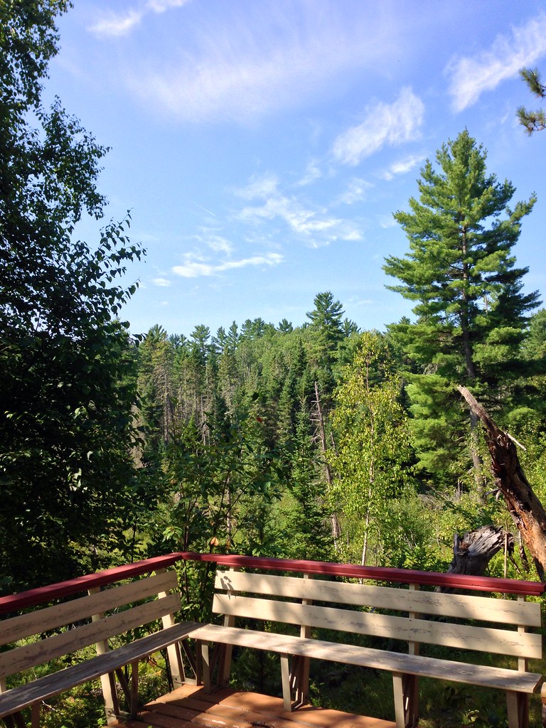
Woods.
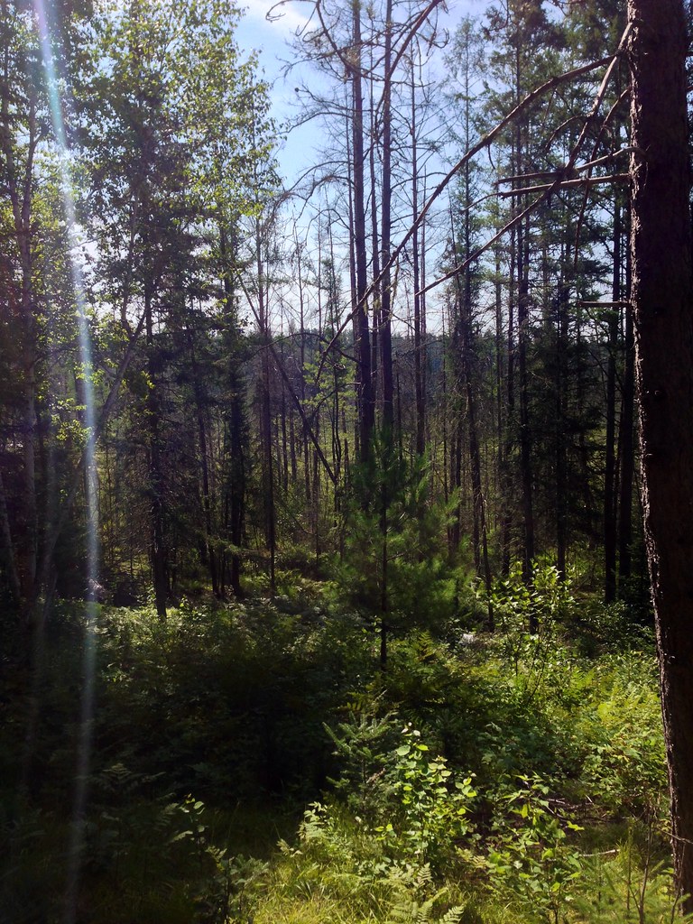
Forest.

Woods.
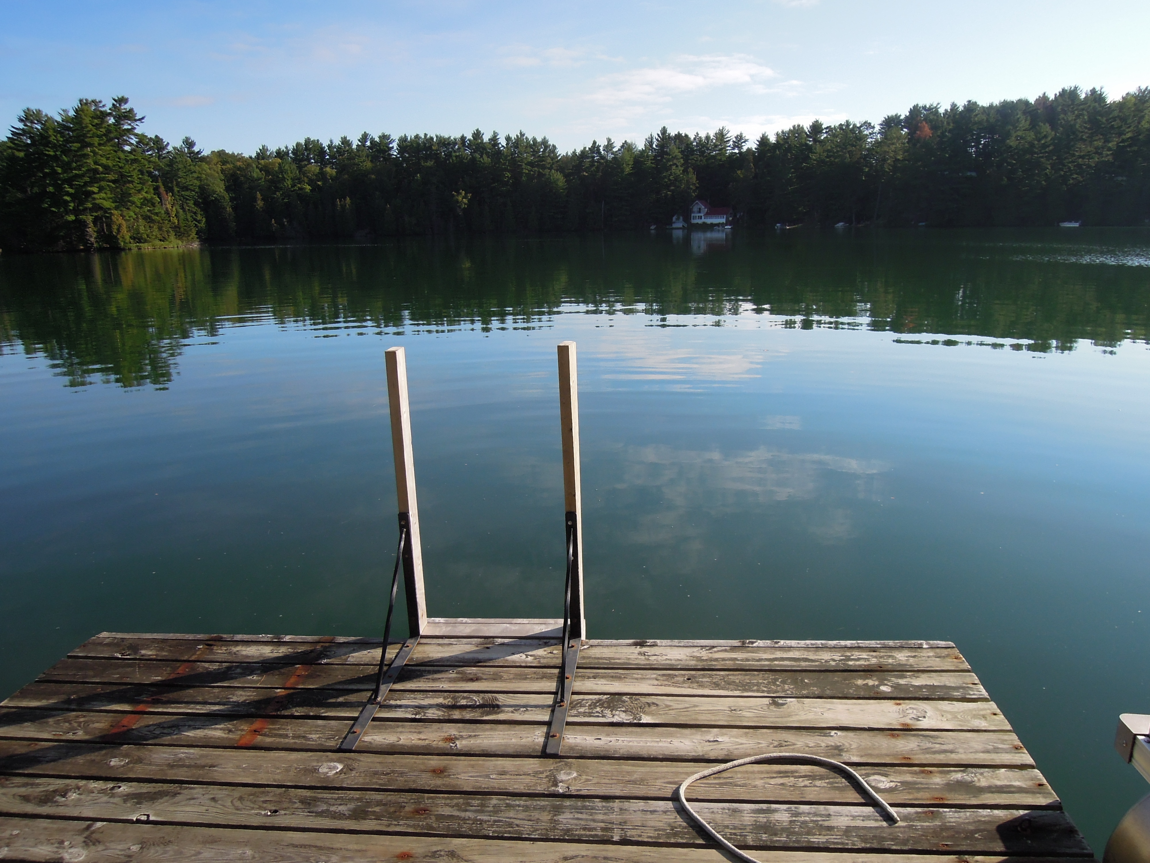
Up at Green Lake
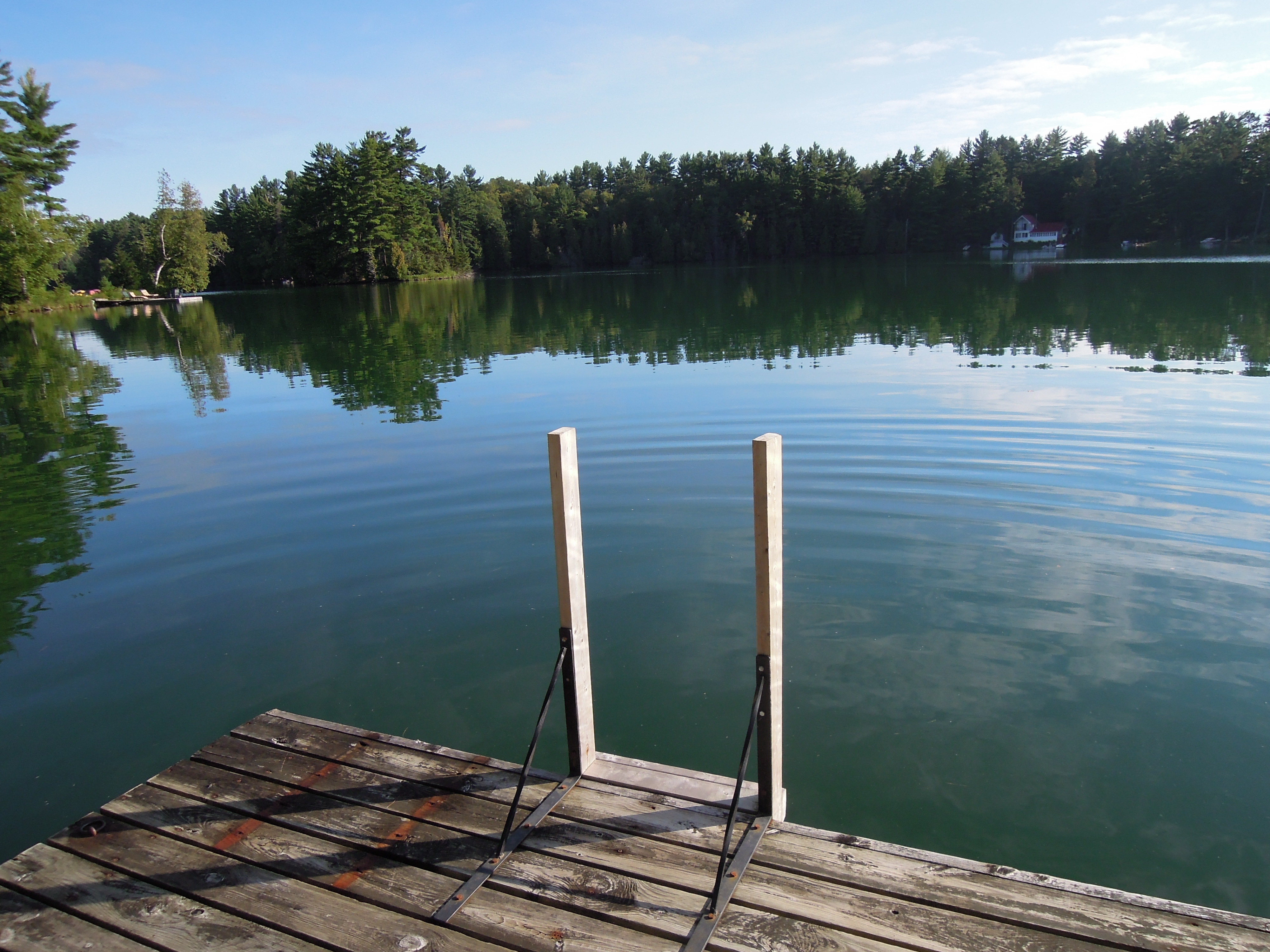
Up at Green Lake
Brûlé Hills, July 1968
its a pathfinder not a fish finder
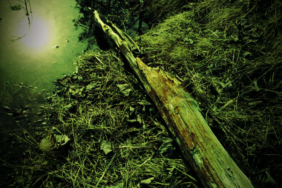
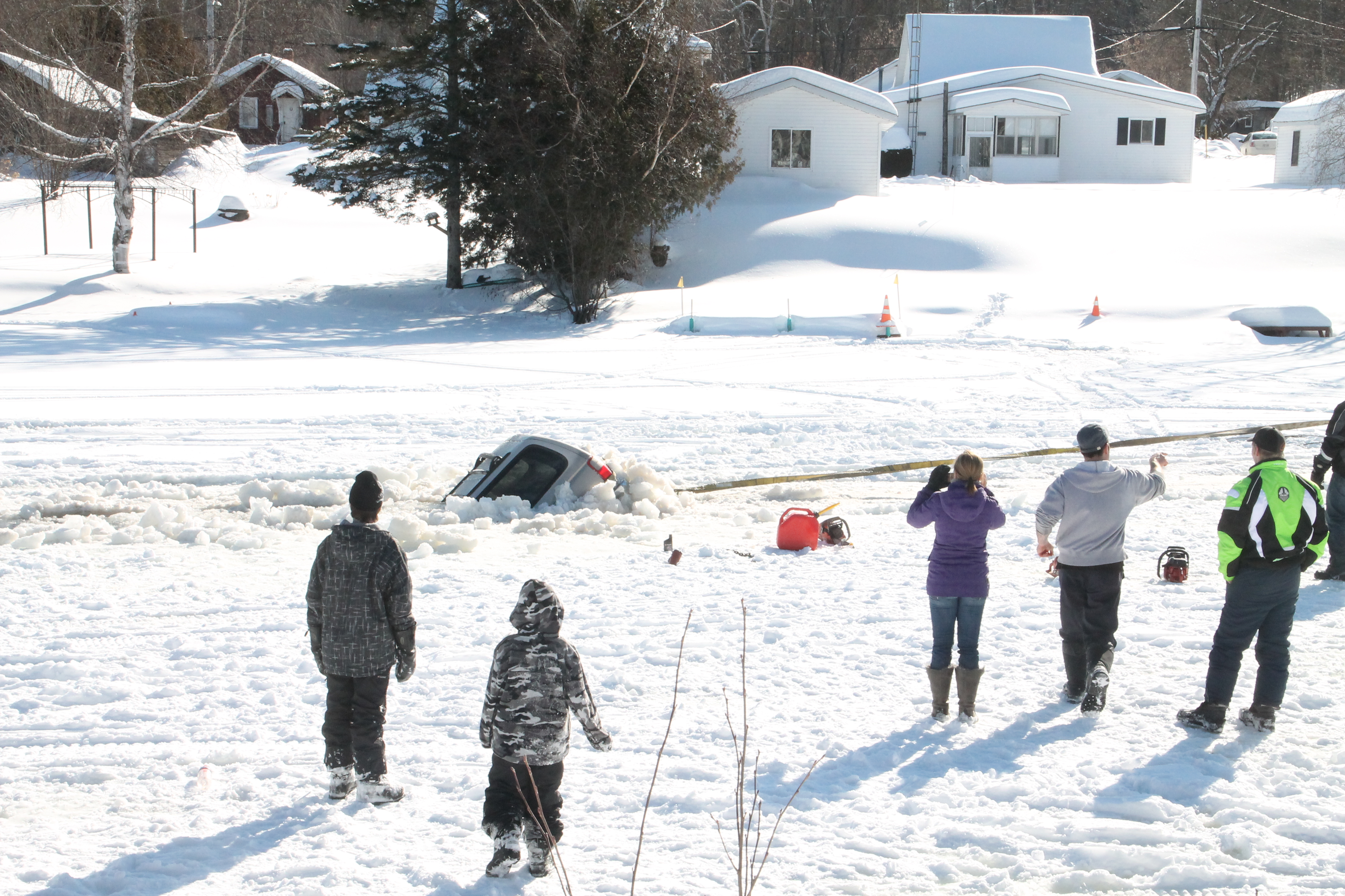
Cold, Dead Nature
Topographic Map of Thorne, QC J0X, Canada
Find elevation by address:

Places in Thorne, QC J0X, Canada:
Places near Thorne, QC J0X, Canada:
Thorne
40 Chemin Sparling, Campbell's Bay, QC J0X 1K0, Canada
Route 303 Nord
Chemin Duval
Avenue Martineau, Otter Lake, QC J0X 2P0, Canada
Otter Lake
Clarendon
9429 Chemin Du Lac-des-loups
9429 Chemin Du Lac-des-loups
Municipality Of Clarendon
Shawville
28 Chemin Leslie
Leslie Lake
Chemin Du Lac-des-loups
Bristol
52 Chemin Halverson, Lac-des-Loups, QC J0X 3K0, Canada
Litchfield
2 Chemin Lionel-beausoleil
Lac-des-loups
Leslie-clapham-et-huddersfield
Recent Searches:
- Elevation of Fern Rd, Whitmore, CA, USA
- Elevation of 62 Abbey St, Marshfield, MA, USA
- Elevation of Fernwood, Bradenton, FL, USA
- Elevation of Felindre, Swansea SA5 7LU, UK
- Elevation of Leyte Industrial Development Estate, Isabel, Leyte, Philippines
- Elevation of W Granada St, Tampa, FL, USA
- Elevation of Pykes Down, Ivybridge PL21 0BY, UK
- Elevation of Jalan Senandin, Lutong, Miri, Sarawak, Malaysia
- Elevation of Bilohirs'k
- Elevation of 30 Oak Lawn Dr, Barkhamsted, CT, USA