Elevation of 40 Chemin Sparling, Campbell's Bay, QC J0X 1K0, Canada
Location: Canada > Québec > Pontiac Regional County Municipality > Thorne > Thorne >
Longitude: -76.438976
Latitude: 45.7859458
Elevation: 218m / 715feet
Barometric Pressure: 99KPa
Elevation Map:
Satellite Map:
Related Photos:
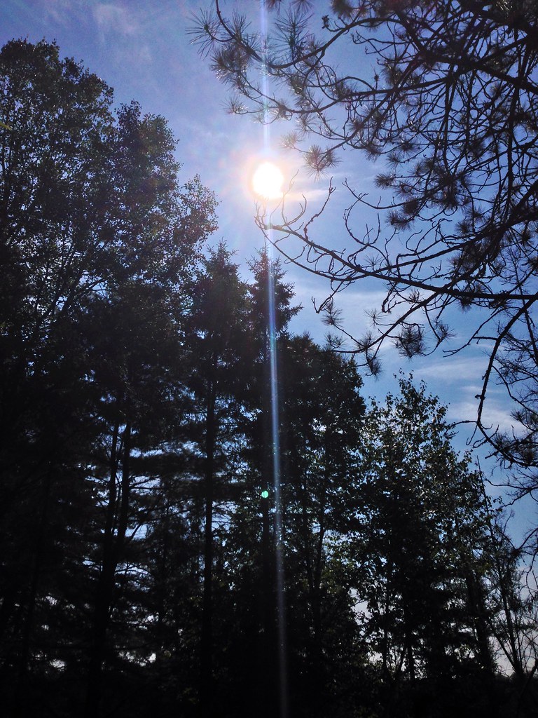
Forest.
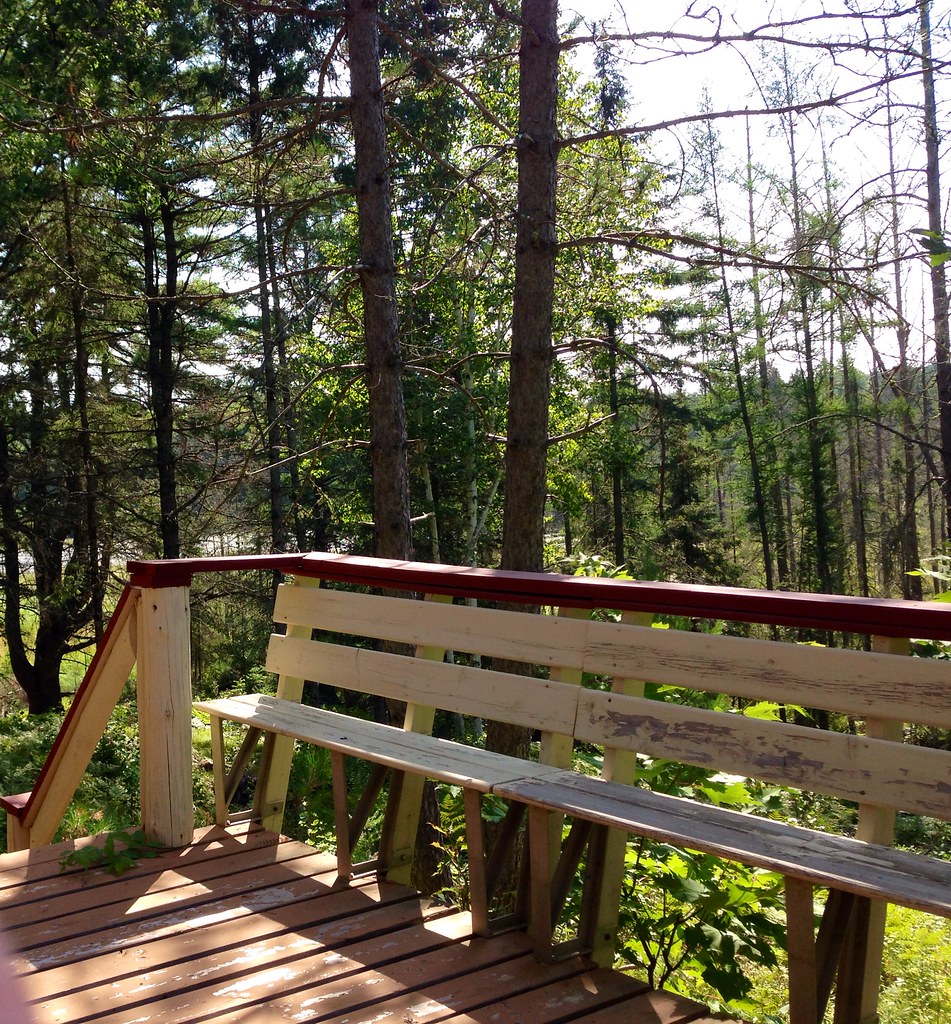
Woods.
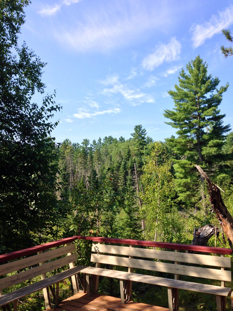
Woods.
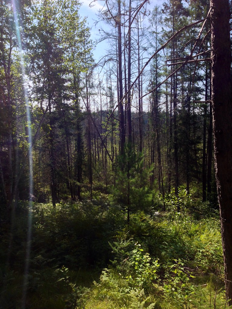
Forest.

Woods.
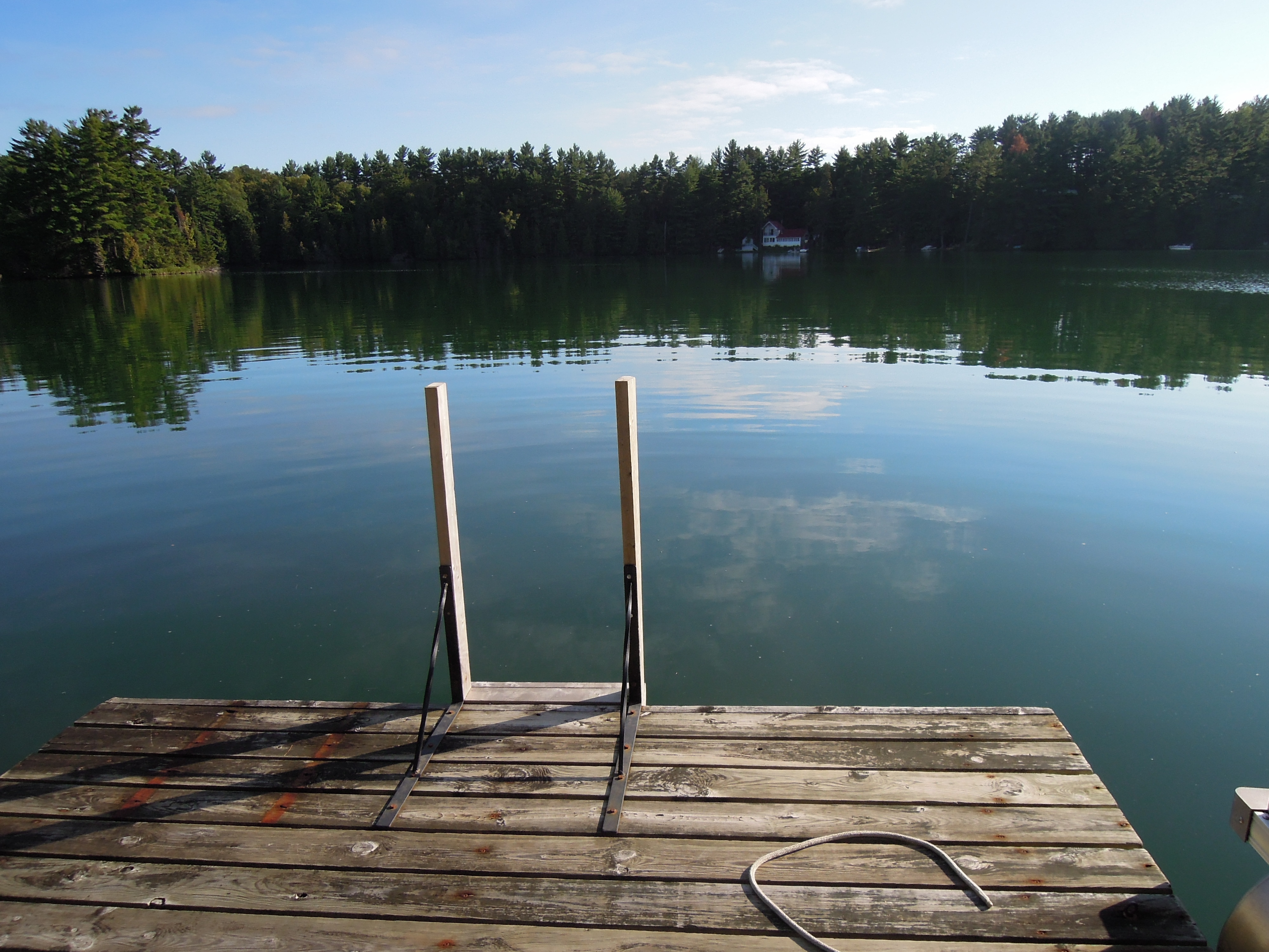
Up at Green Lake
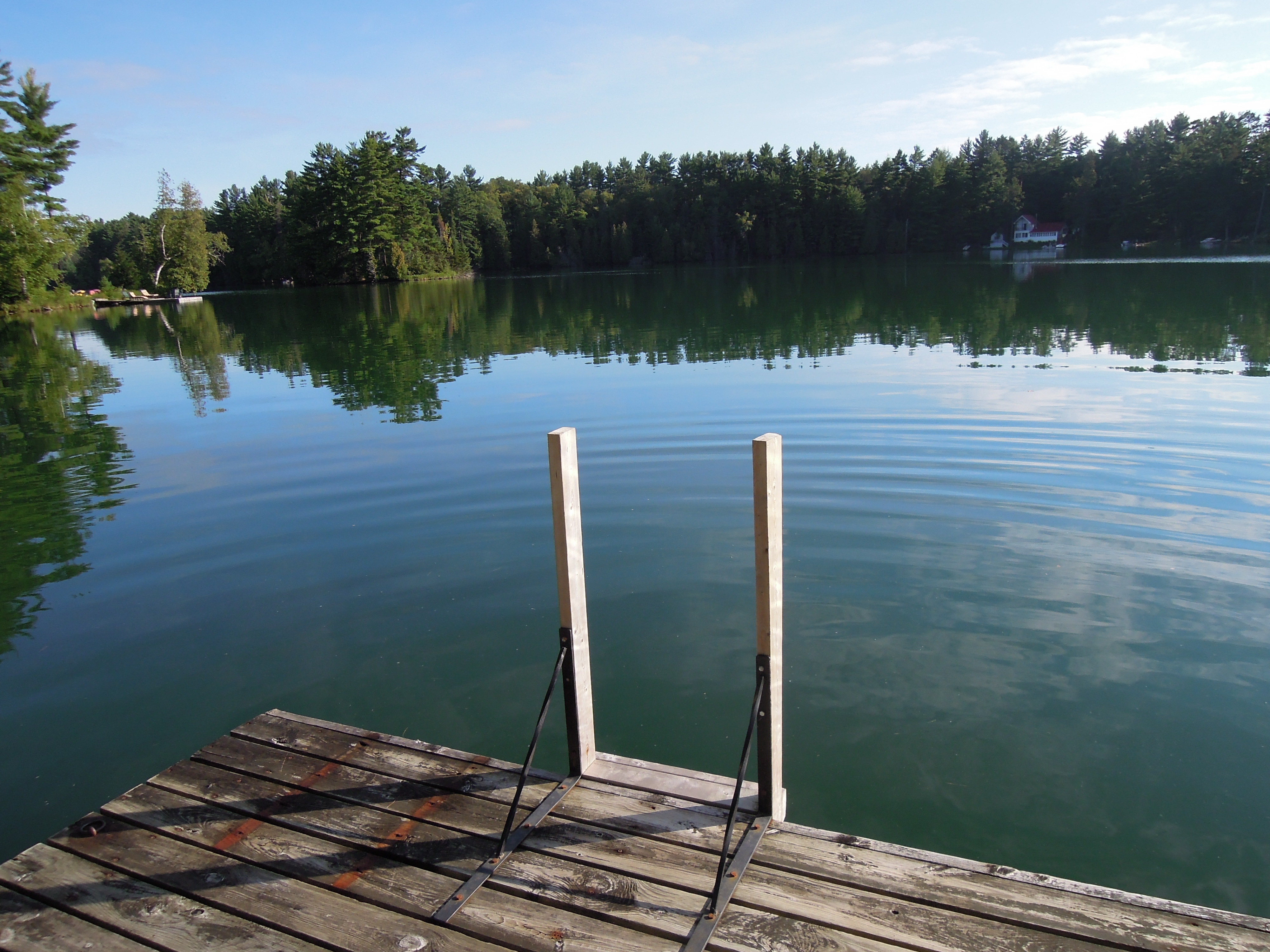
Up at Green Lake
Brûlé Hills, July 1968
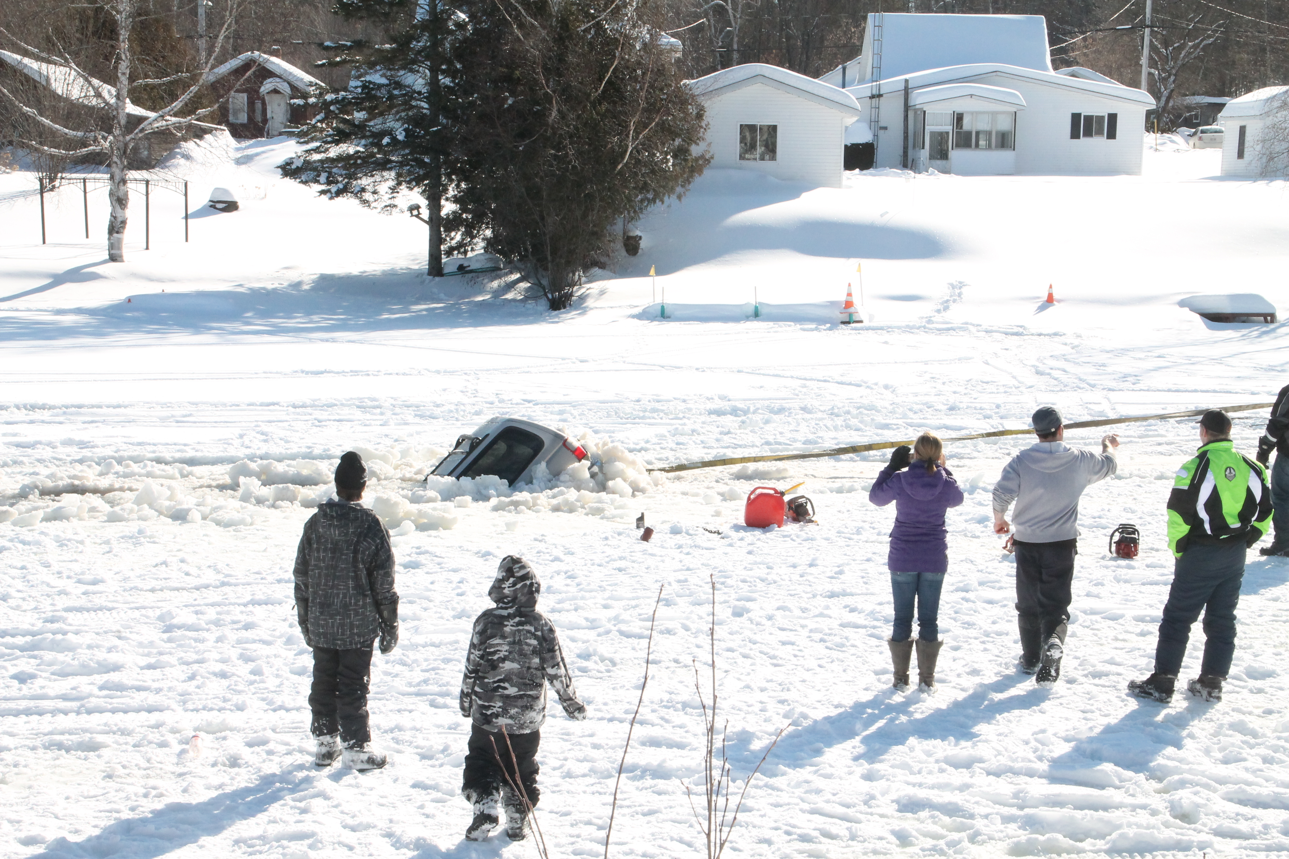
its a pathfinder not a fish finder
Topographic Map of 40 Chemin Sparling, Campbell's Bay, QC J0X 1K0, Canada
Find elevation by address:

Places near 40 Chemin Sparling, Campbell's Bay, QC J0X 1K0, Canada:
Thorne
Chemin Duval
Avenue Martineau, Otter Lake, QC J0X 2P0, Canada
Otter Lake
Thorne
28 Chemin Leslie
Leslie Lake
Clarendon
Route 303 Nord
Leslie-clapham-et-huddersfield
Litchfield
Litchfield
Campbell's Bay
35 Rue Reid
Municipality Of Clarendon
9429 Chemin Du Lac-des-loups
9429 Chemin Du Lac-des-loups
Shawville
Chemin De La Plage
5 Concession
Recent Searches:
- Elevation of th Pl SE, Issaquah, WA, USA
- Elevation of 82- D Rd, Captain Cook, HI, USA
- Elevation of Harlow CM20 2PR, UK
- Elevation of Shenyang Agricultural University, Dong Ling Lu, Shen He Qu, Shen Yang Shi, Liao Ning Sheng, China
- Elevation of Alpha Dr, Melbourne, FL, USA
- Elevation of Hiroshima University, 1-chōme-3-2 Kagamiyama, Higashihiroshima, Hiroshima -, Japan
- Elevation of Bernina Dr, Lake Arrowhead, CA, USA
- Elevation of N 82nd Pl, Mesa, AZ, USA
- Elevation of Snake Hill Rd, North Scituate, RI, USA
- Elevation of Lake Shore Dr, Warwick, RI, USA