Elevation of Leslie-Clapham-et-Huddersfield, QC, Canada
Location: Canada > Québec > Pontiac Regional County Municipality >
Longitude: -76.483627
Latitude: 45.9053899
Elevation: 247m / 810feet
Barometric Pressure: 98KPa
Elevation Map:
Satellite Map:
Related Photos:
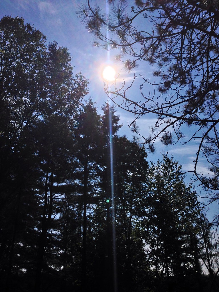
Forest.
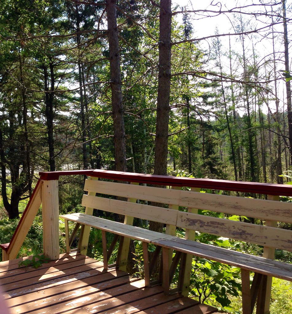
Woods.
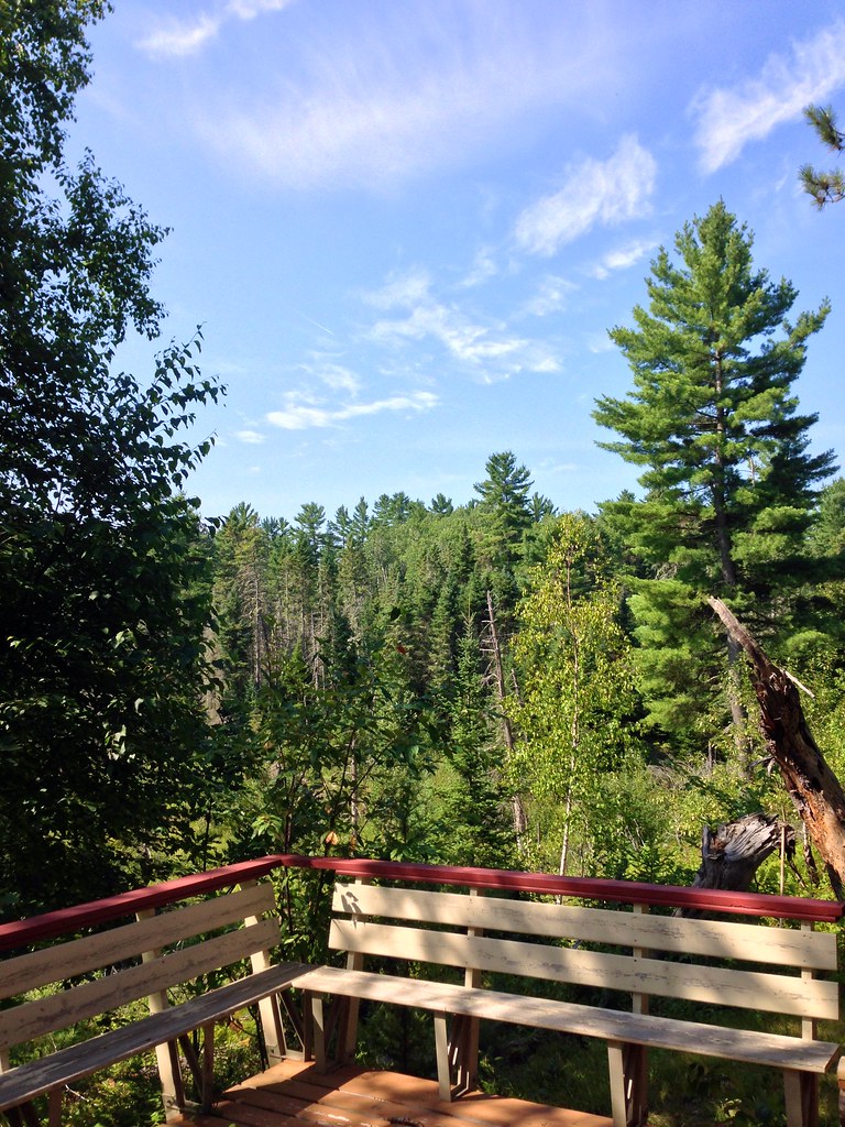
Woods.
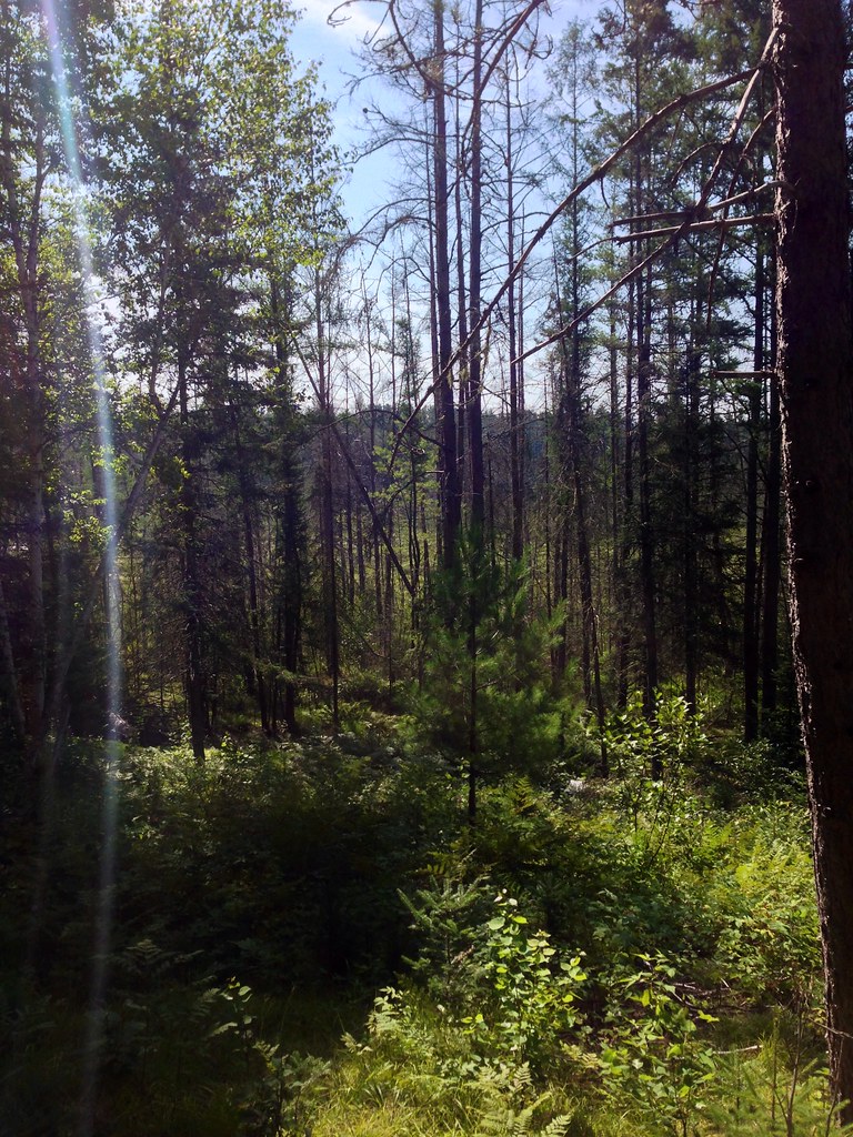
Forest.

Woods.
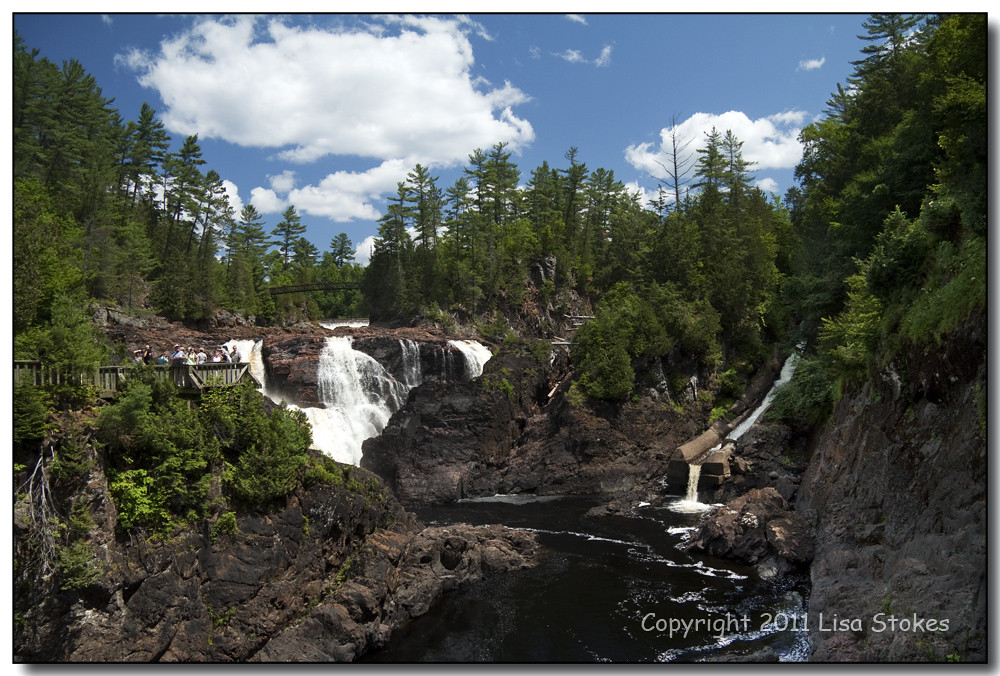
Chutes-Coulonge
Les Chutes Coulonge 001
its a pathfinder not a fish finder
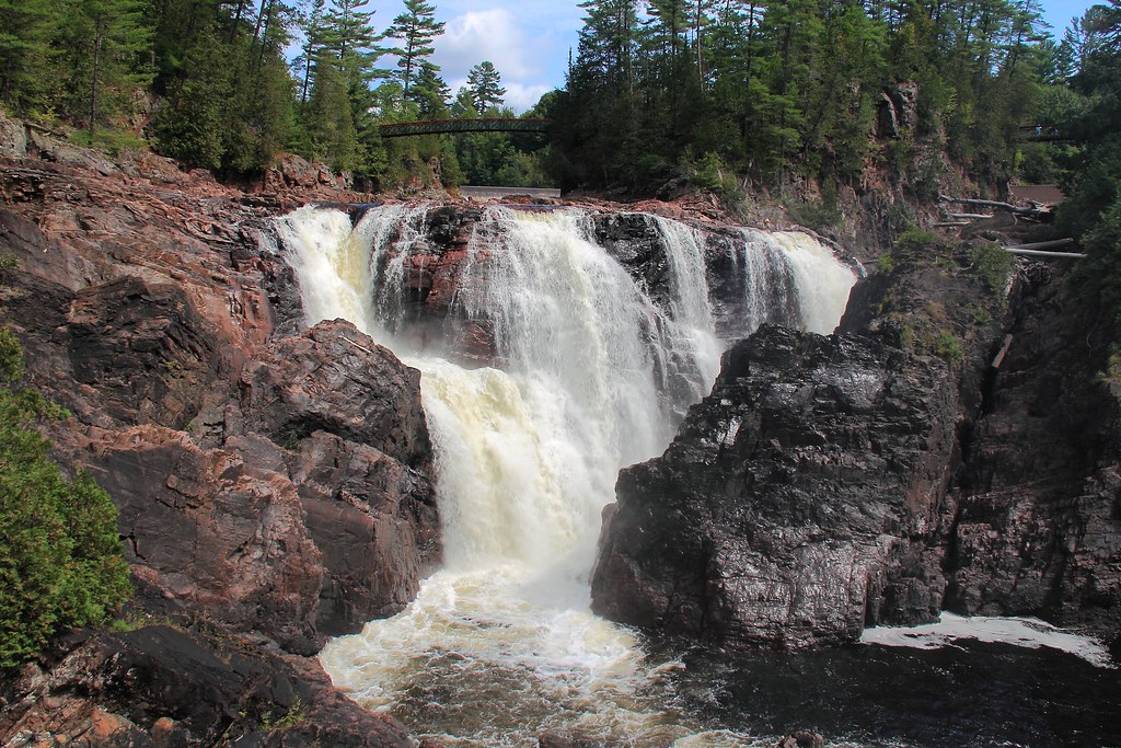
Chutes Coulonge
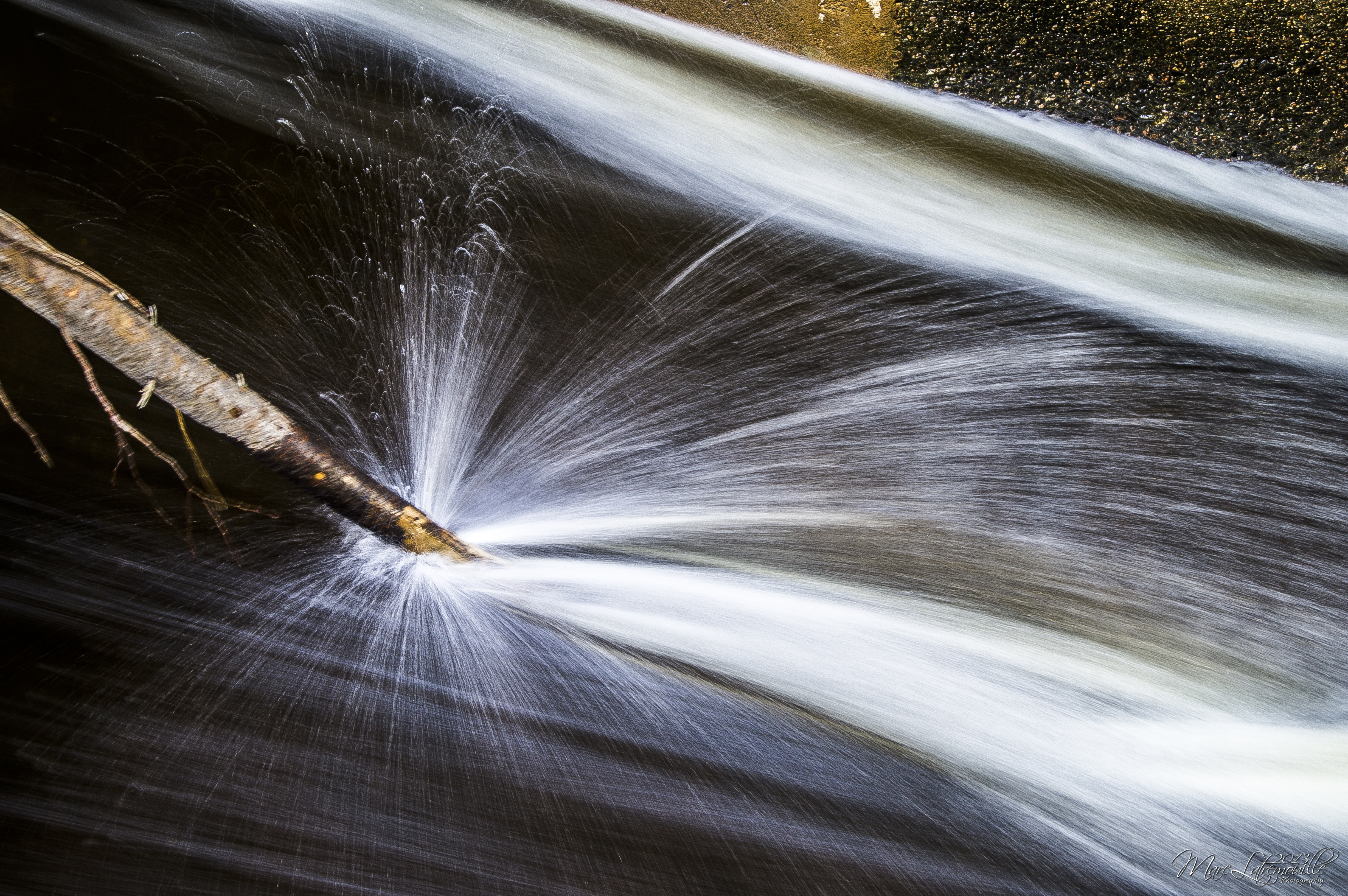
Water Sparks
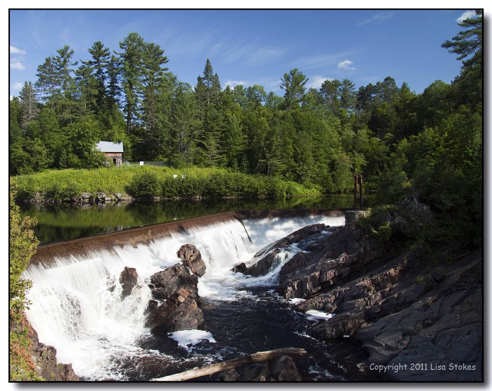
Above the Chutes Coulonge
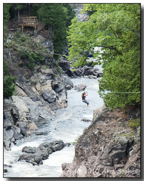
Canyon Zip-line
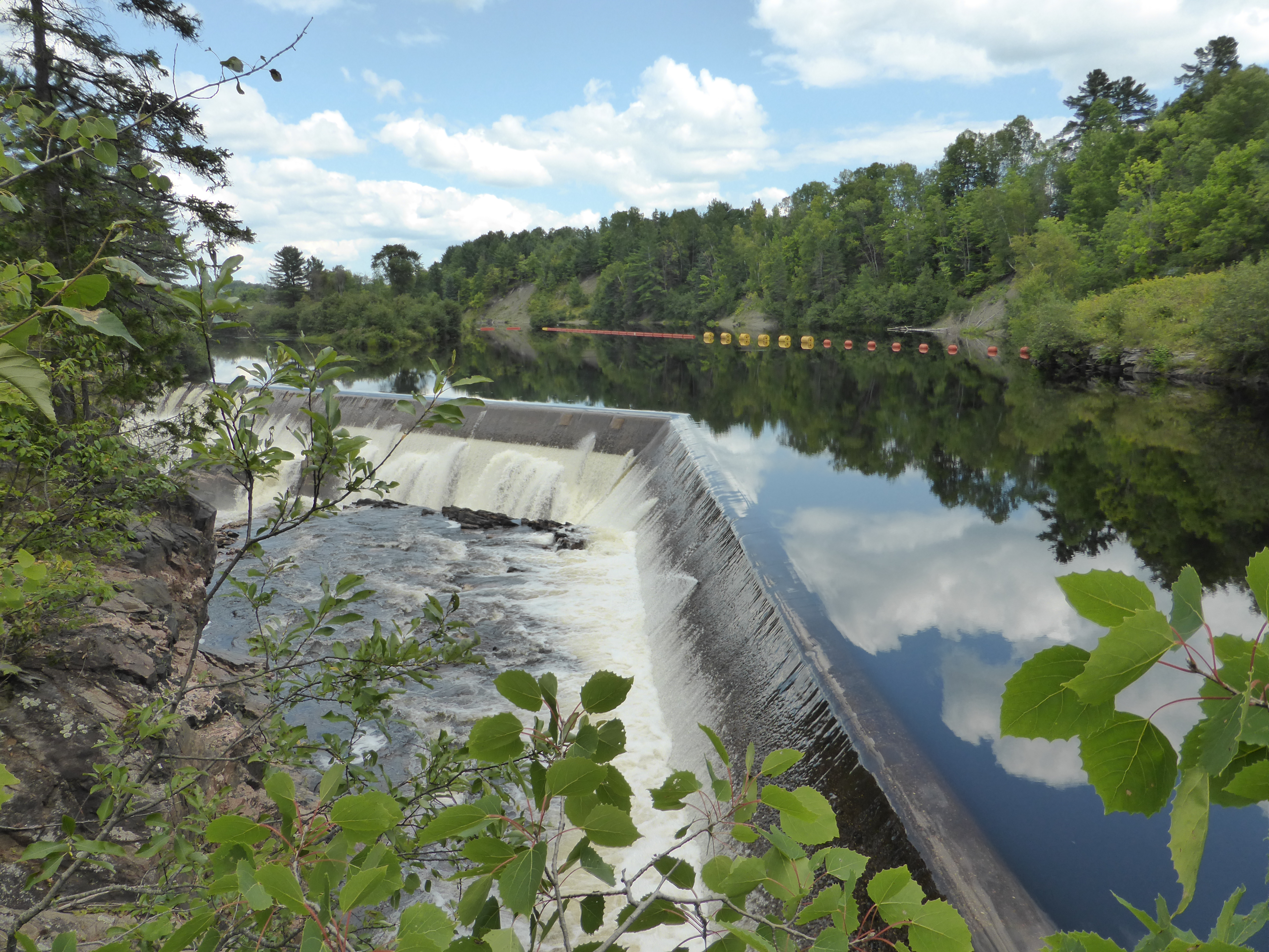
Along the Falls Dam

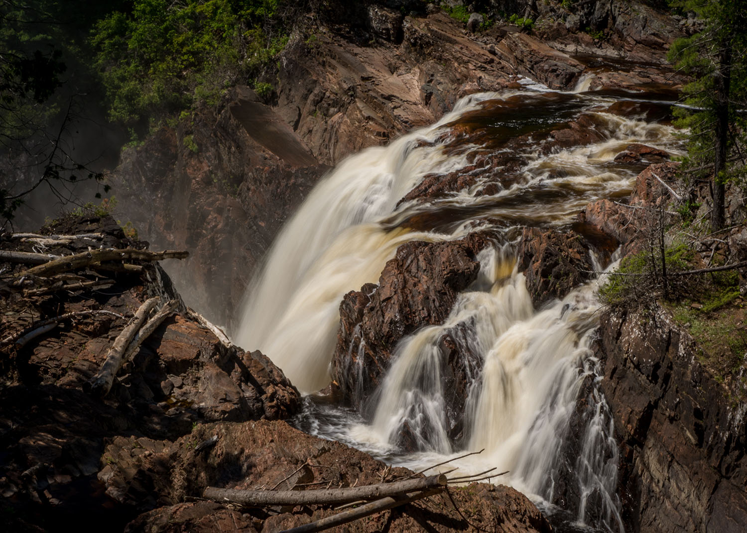
Les Chutes Coulonge 002
Topographic Map of Leslie-Clapham-et-Huddersfield, QC, Canada
Find elevation by address:

Places in Leslie-Clapham-et-Huddersfield, QC, Canada:
Places near Leslie-Clapham-et-Huddersfield, QC, Canada:
28 Chemin Leslie
Otter Lake
Avenue Martineau, Otter Lake, QC J0X 2P0, Canada
Leslie Lake
Chemin Duval
J0x 2p0
40 Chemin Sparling, Campbell's Bay, QC J0X 1K0, Canada
Chemin De La Plage
Litchfield
Thorne
810 Chemin De La Chute
Litchfield
Thorne
Campbell's Bay
35 Rue Reid
274 Chemin Du Bois Franc
249 Chemin Du Bois Franc
Clarendon
J0x 1r0
Route 303 Nord
Recent Searches:
- Elevation of 2 Henschke Ct, Caboolture QLD, Australia
- Elevation of Redondo Ave, Long Beach, CA, USA
- Elevation of Sadovaya Ulitsa, 20, Rezh, Sverdlovskaya oblast', Russia
- Elevation of Ulitsa Kalinina, 79, Rezh, Sverdlovskaya oblast', Russia
- Elevation of 72-31 Metropolitan Ave, Middle Village, NY, USA
- Elevation of 76 Metropolitan Ave, Brooklyn, NY, USA
- Elevation of Alisal Rd, Solvang, CA, USA
- Elevation of Vista Blvd, Sparks, NV, USA
- Elevation of 15th Ave SE, St. Petersburg, FL, USA
- Elevation of Beall Road, Beall Rd, Florida, USA