Elevation of OR-31, Silver Lake, OR, USA
Location: United States > Oregon > Lake County > Silver Lake >
Longitude: -121.04880
Latitude: 43.1280055
Elevation: 1326m / 4350feet
Barometric Pressure: 86KPa
Elevation Map:
Satellite Map:
Related Photos:
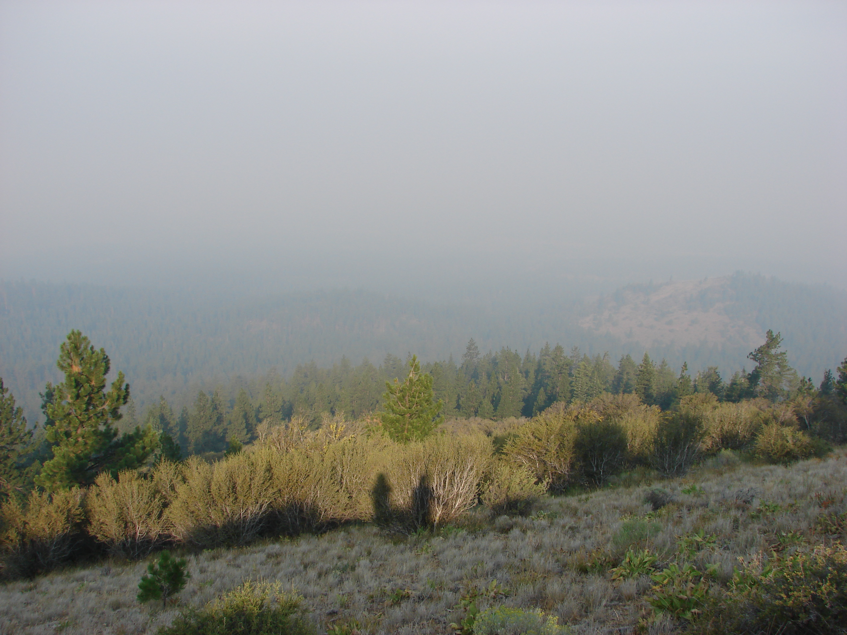
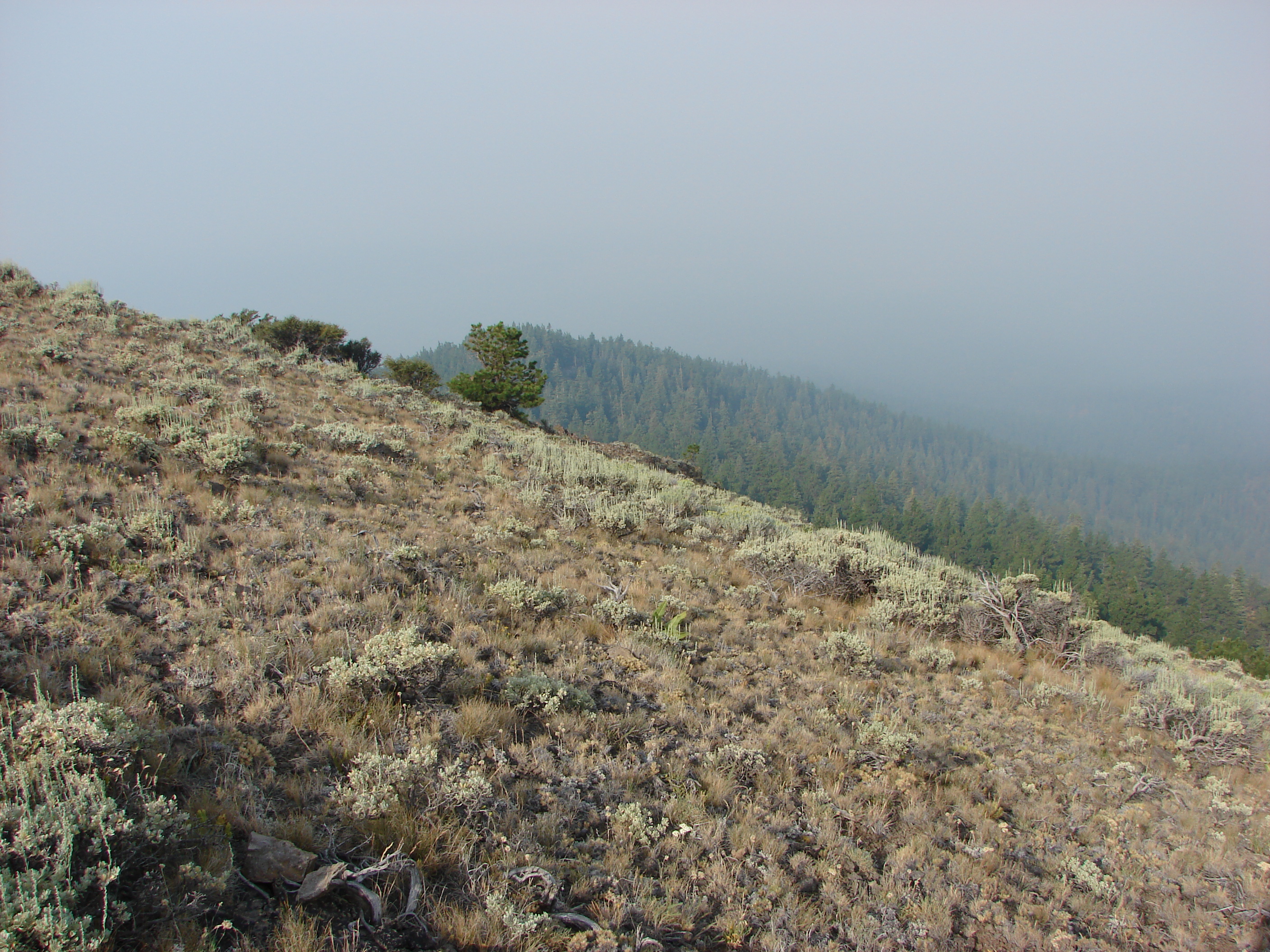
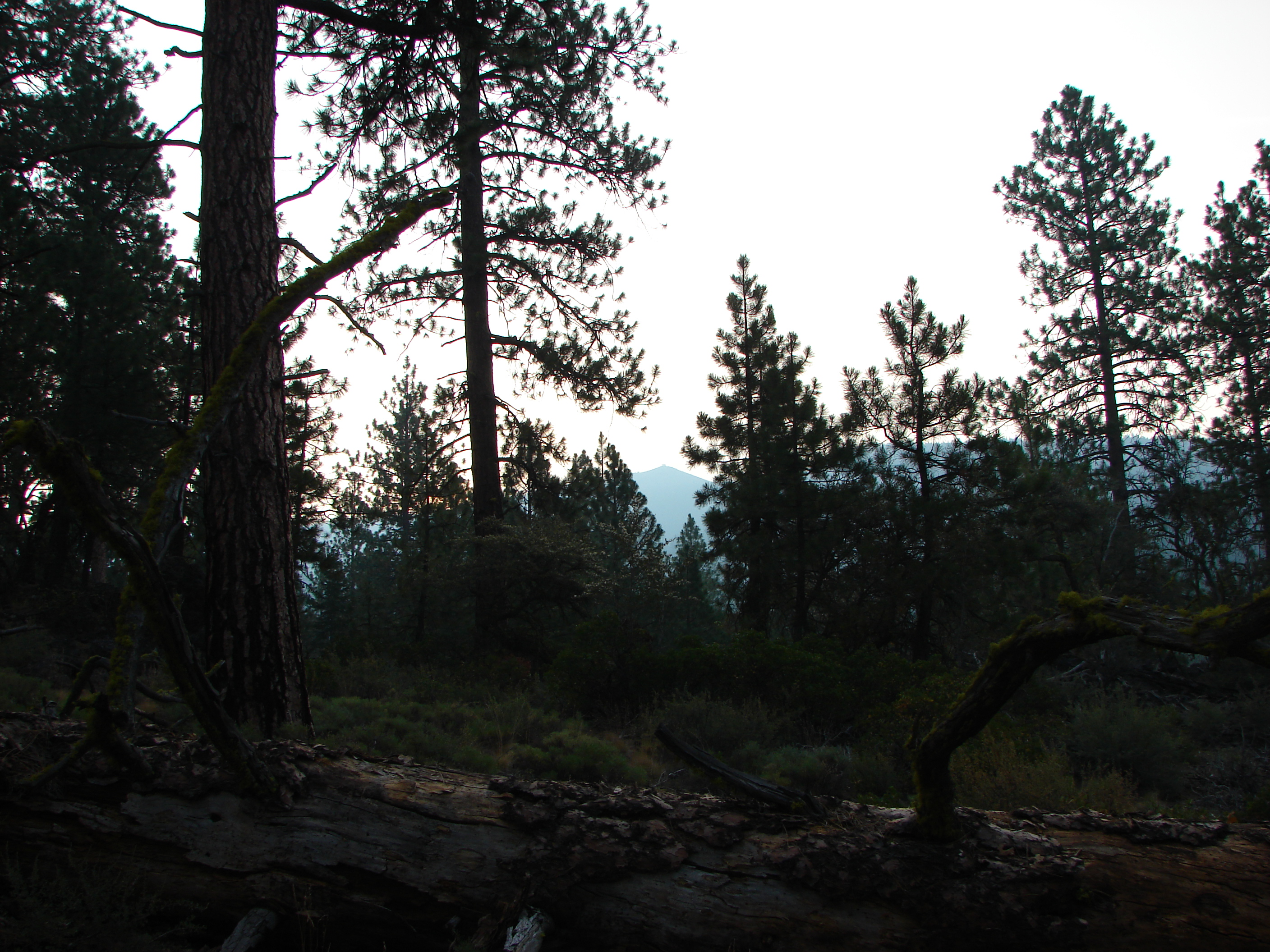
View from the Hager Mountain Trail
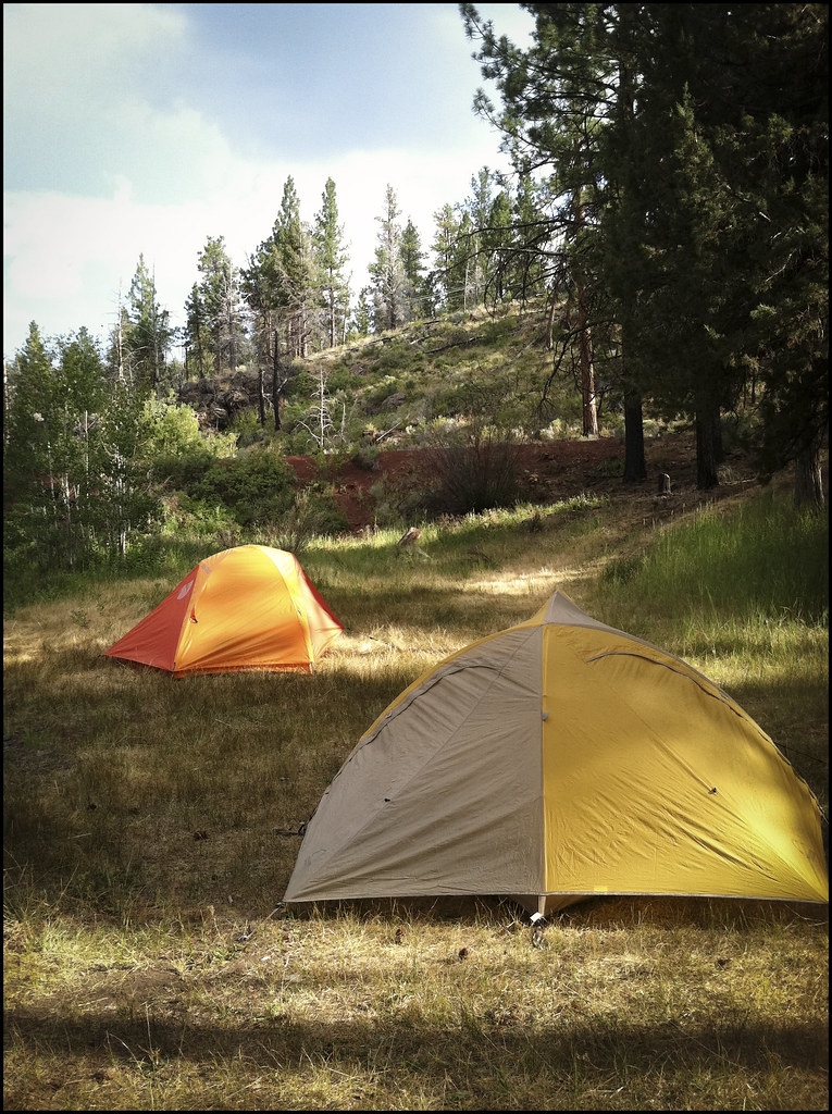
Tents - Campsite view.

View from the Hager Mountain Trail

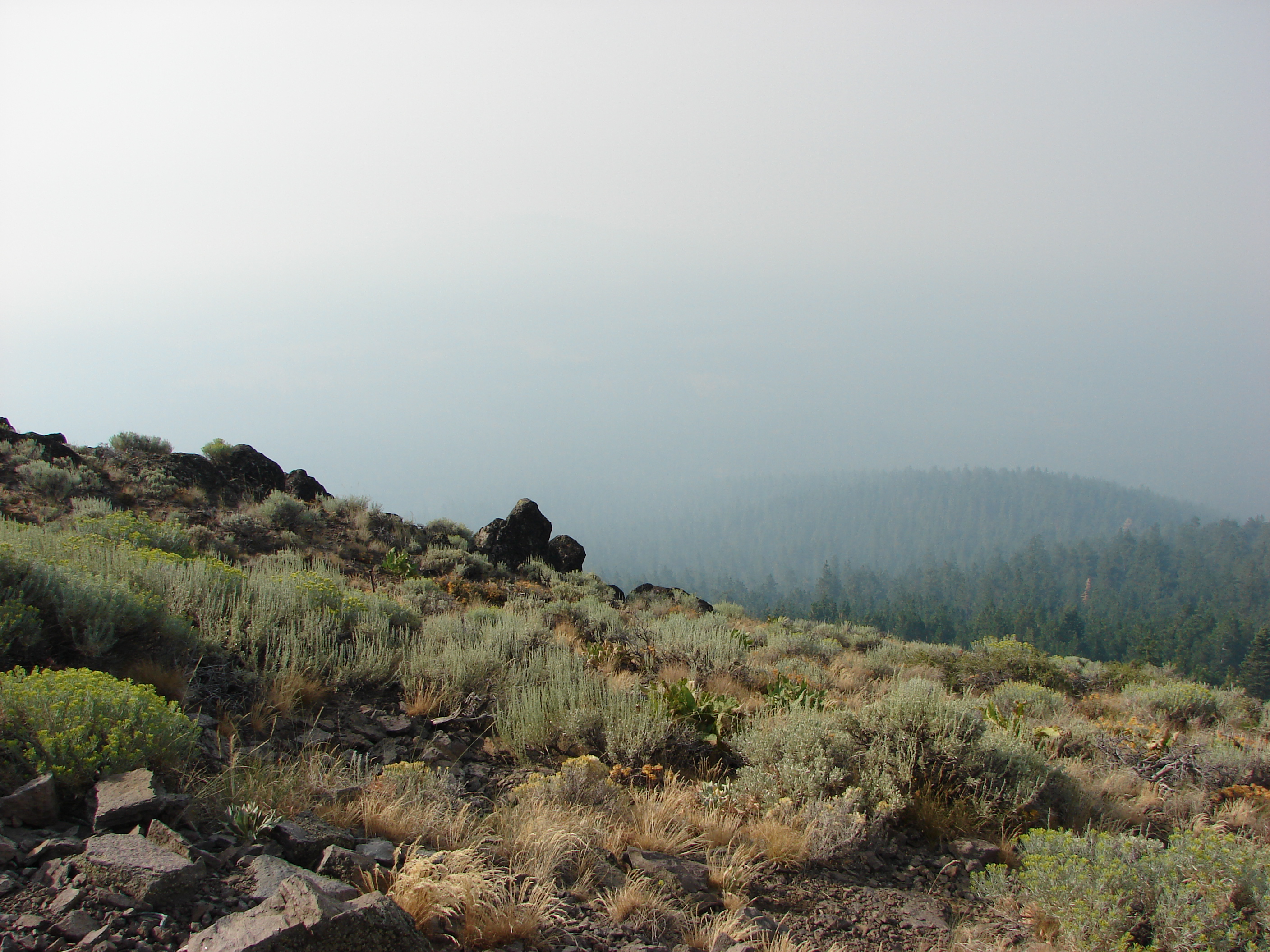
View down below the mountain

The view opened up once the trees thinned out
View from the Hager Mountain Trail
View to the Three Sisters
View from Hager Mountain
View from Hager Mountain
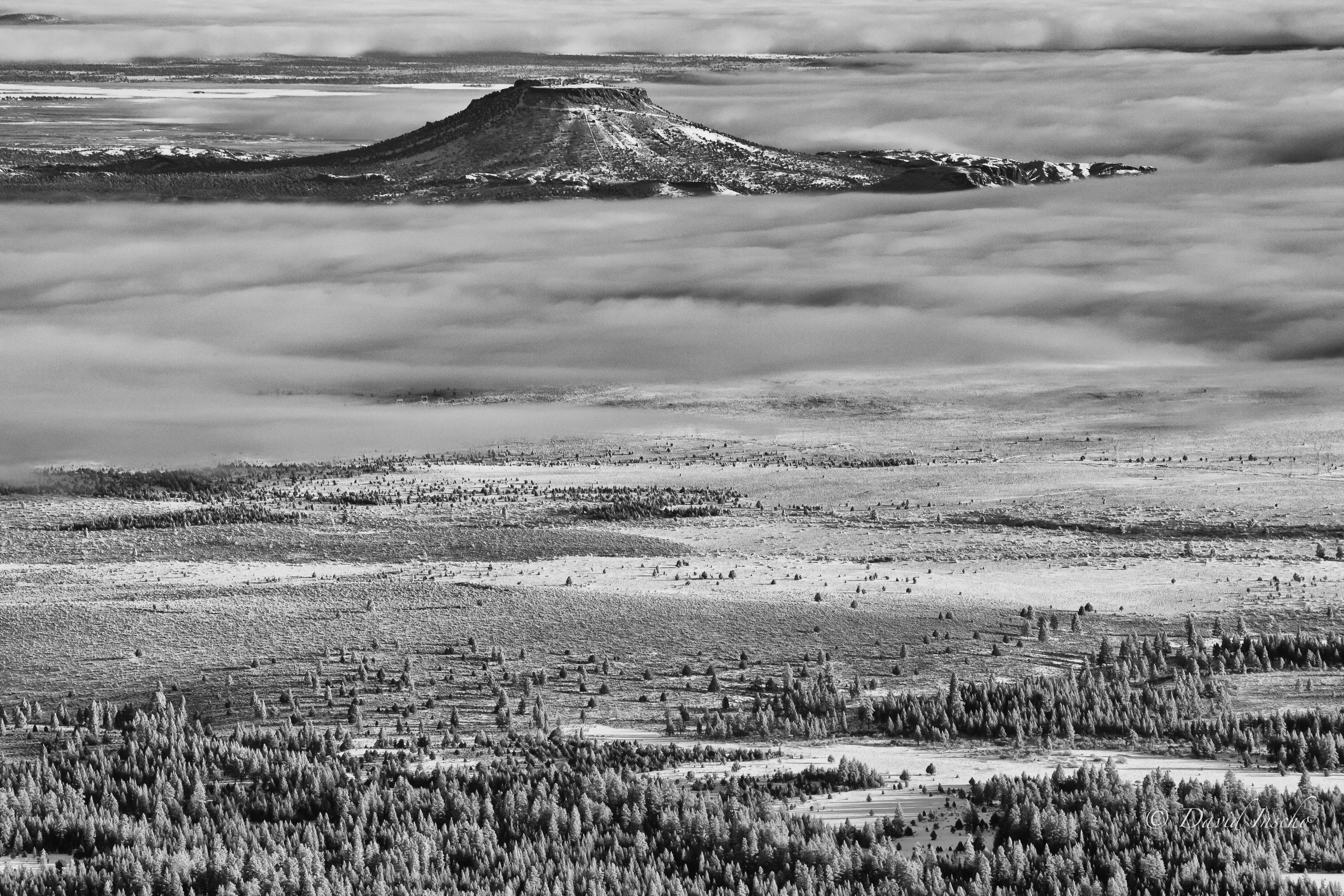
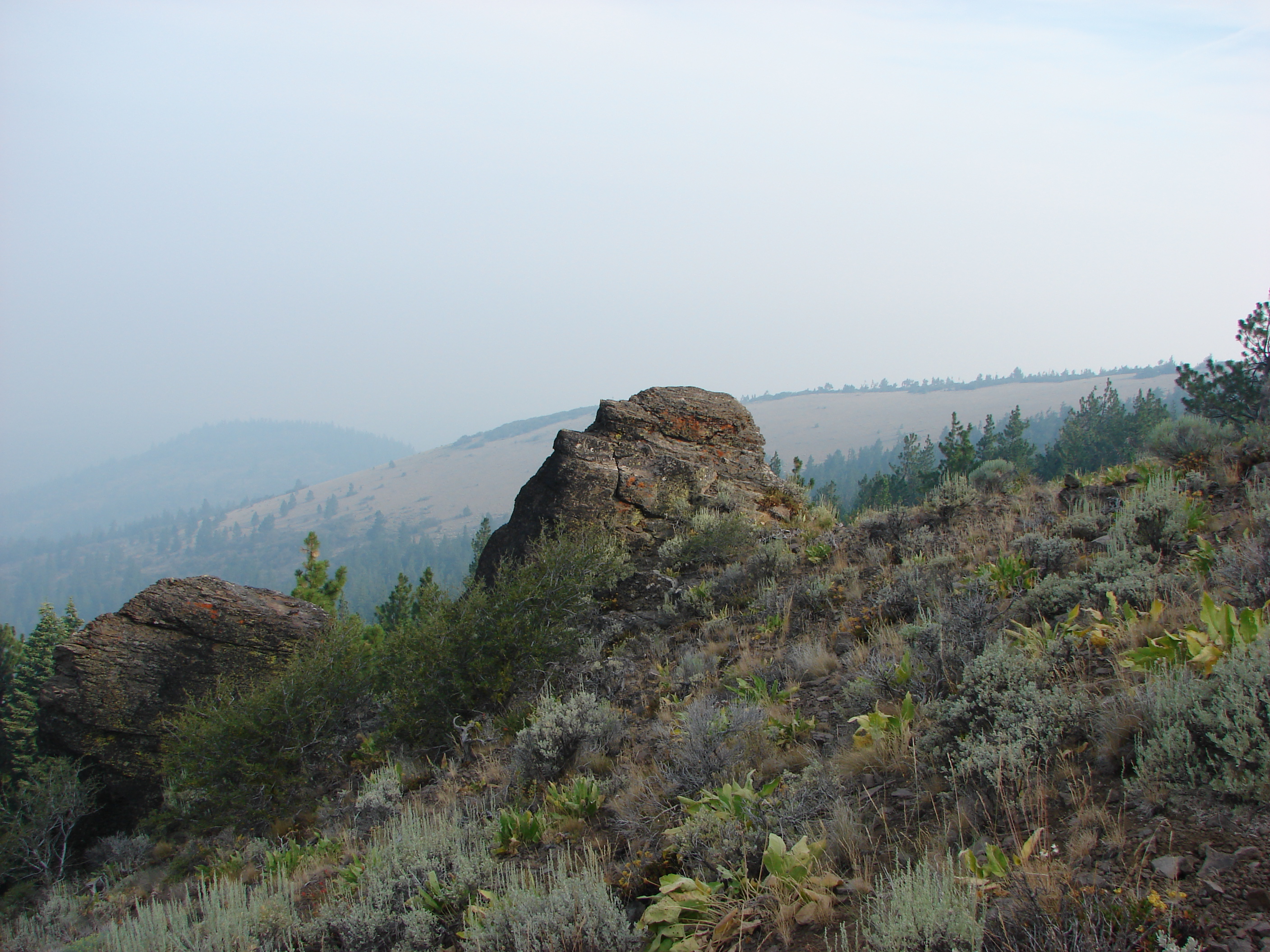
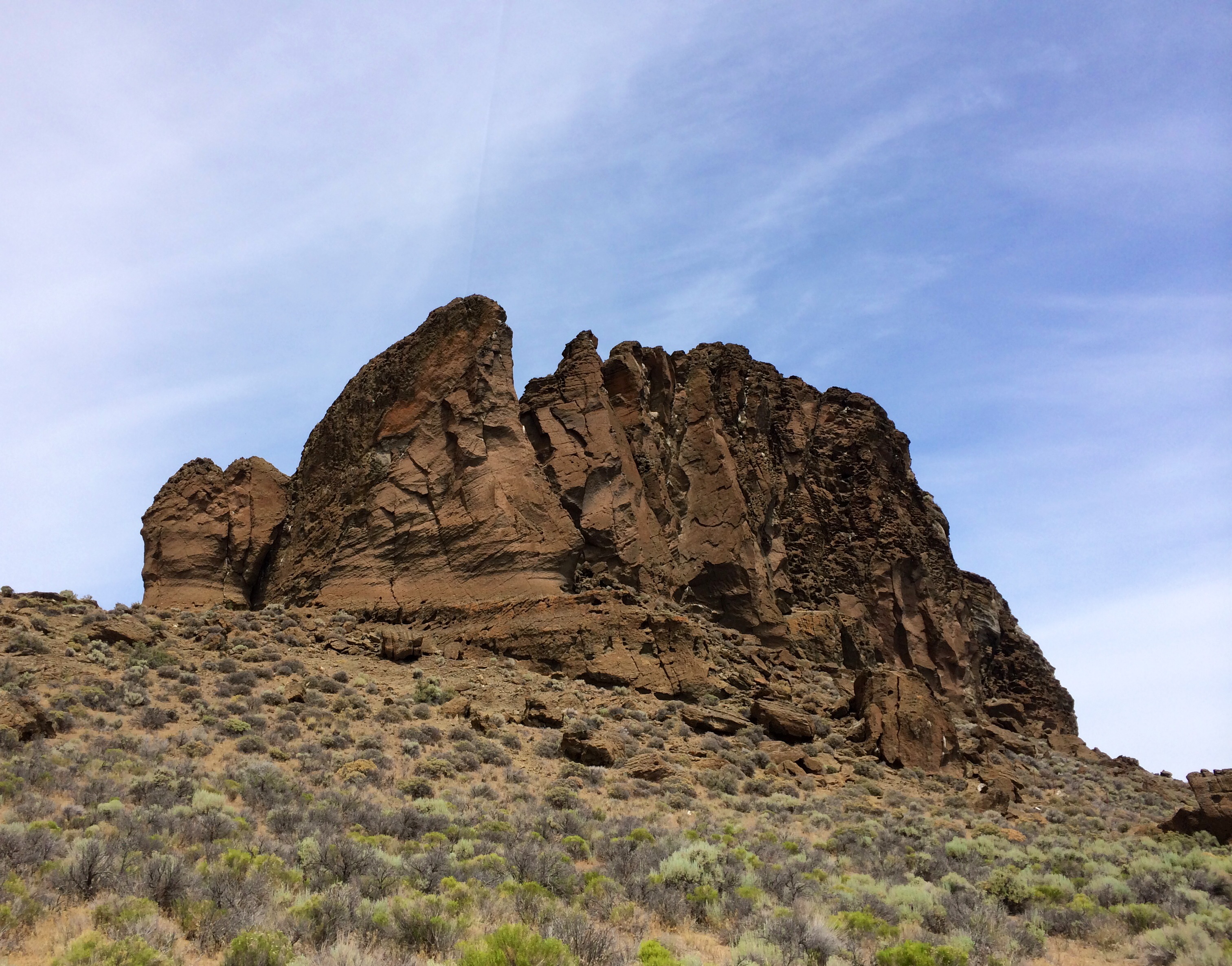
Table Rock in B&W

Between storms
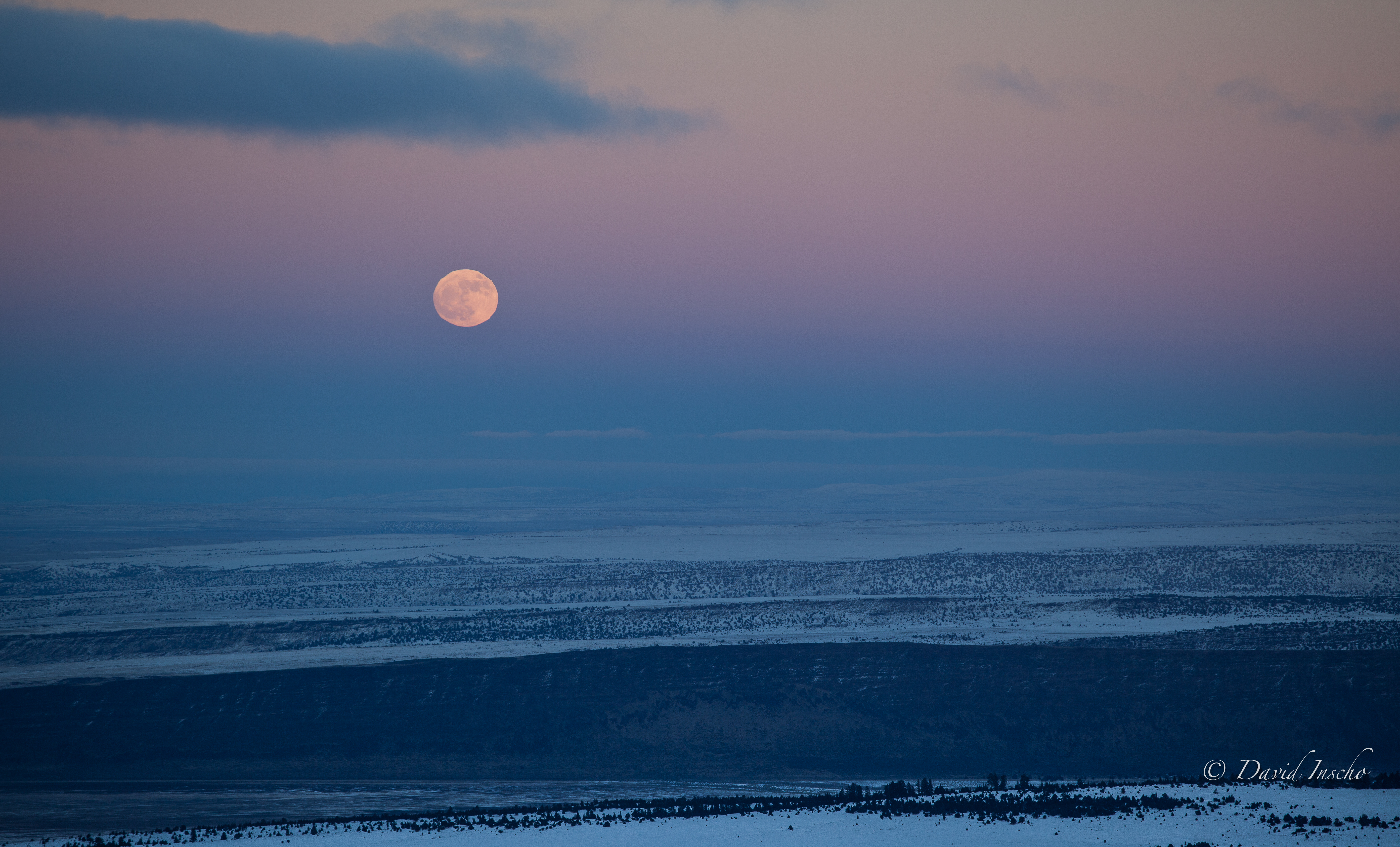
Distorted moonrise
Above the great sage basin
Riding the shadow
South central Oregon roadtrip. Crater lake, Paulina Lake, Hole in the Ground, Fort Rock, Crack in the Ground and Summer Lake

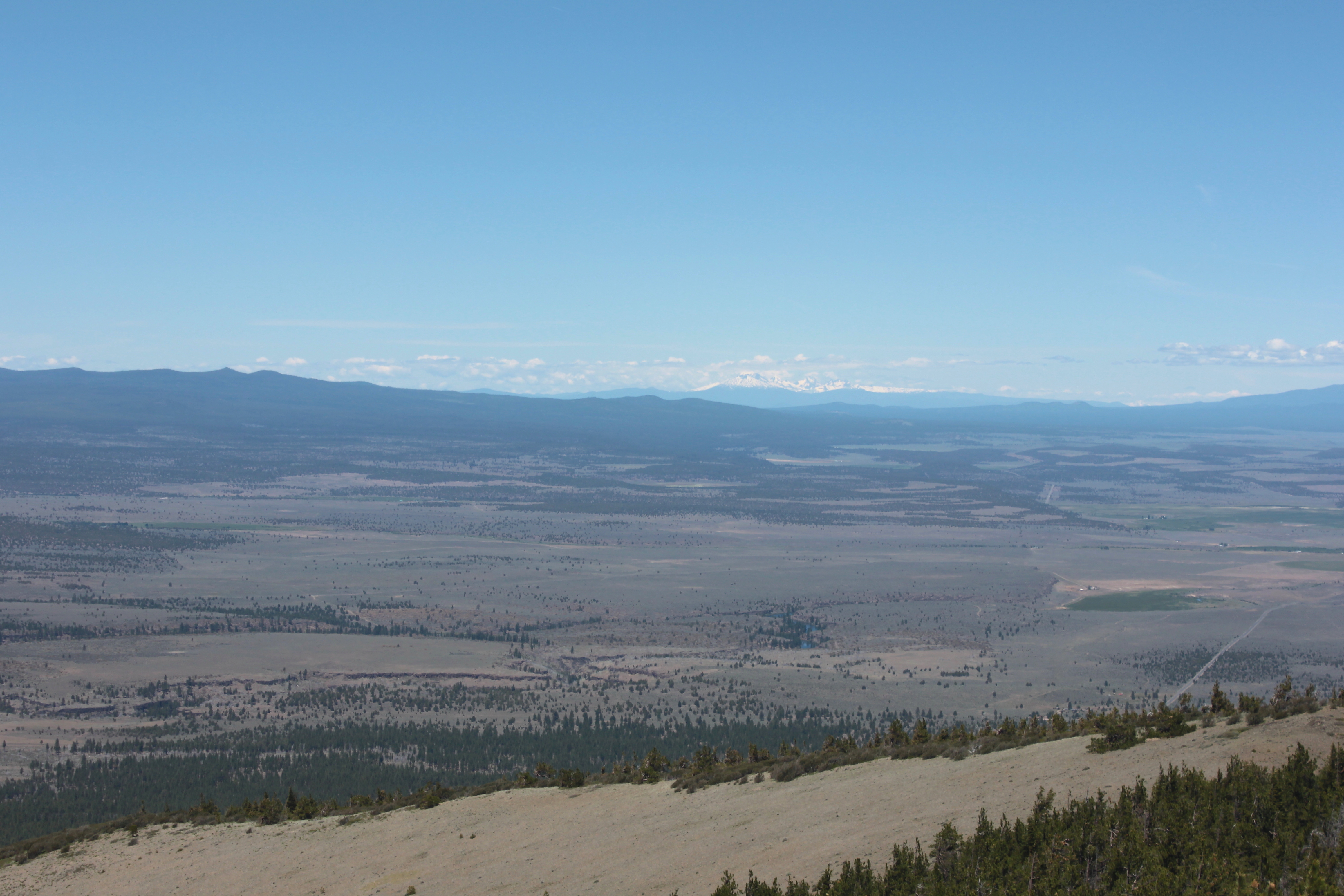
Sunrise on Shasta (about 150 miles away)
South central Oregon roadtrip. Crater lake, Paulina Lake, Hole in the Ground, Fort Rock, Crack in the Ground and Summer Lake

Picnic Table on Hager Mountain
South central Oregon roadtrip. Crater lake, Paulina Lake, Hole in the Ground, Fort Rock, Crack in the Ground and Summer Lake
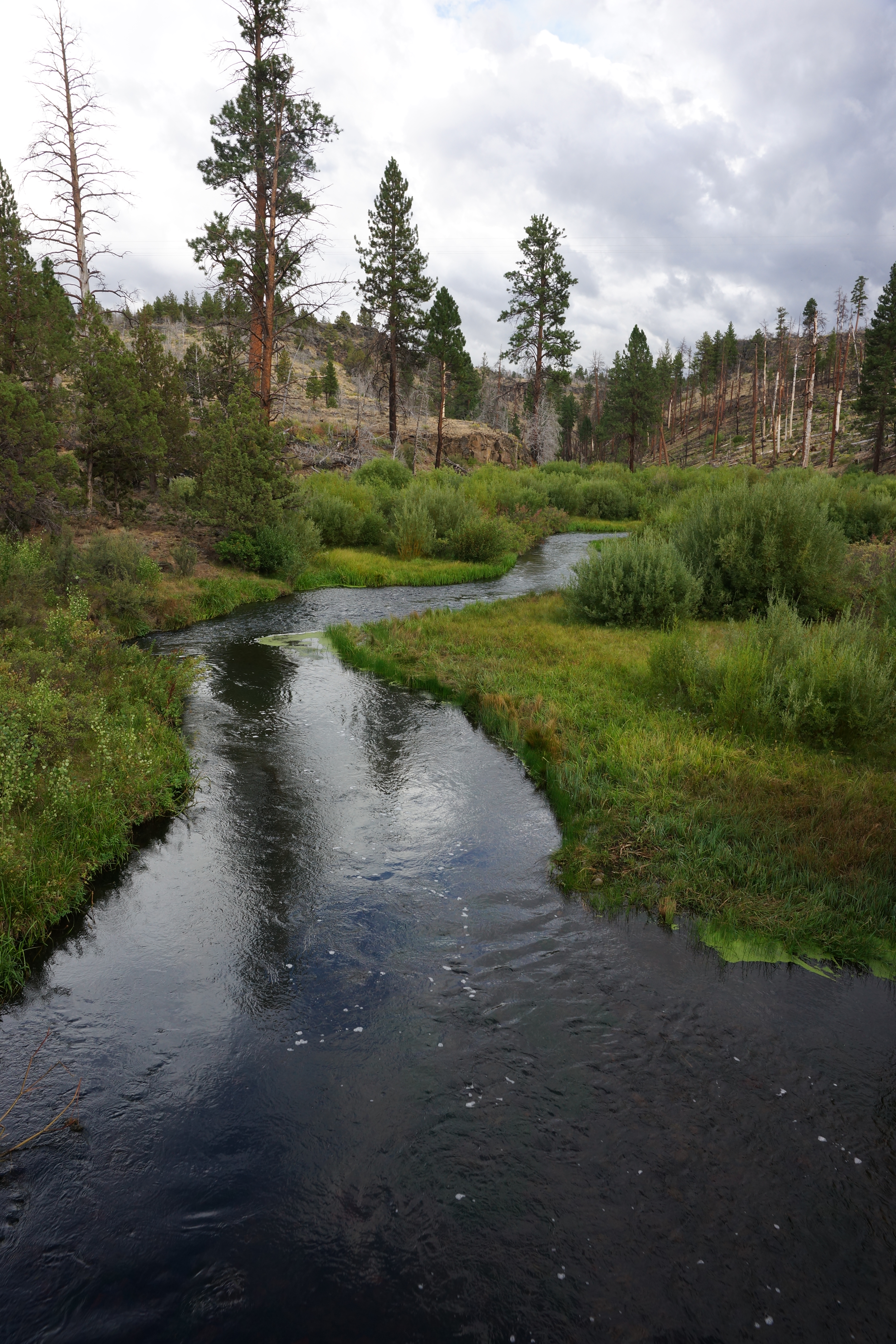
Silver Creek
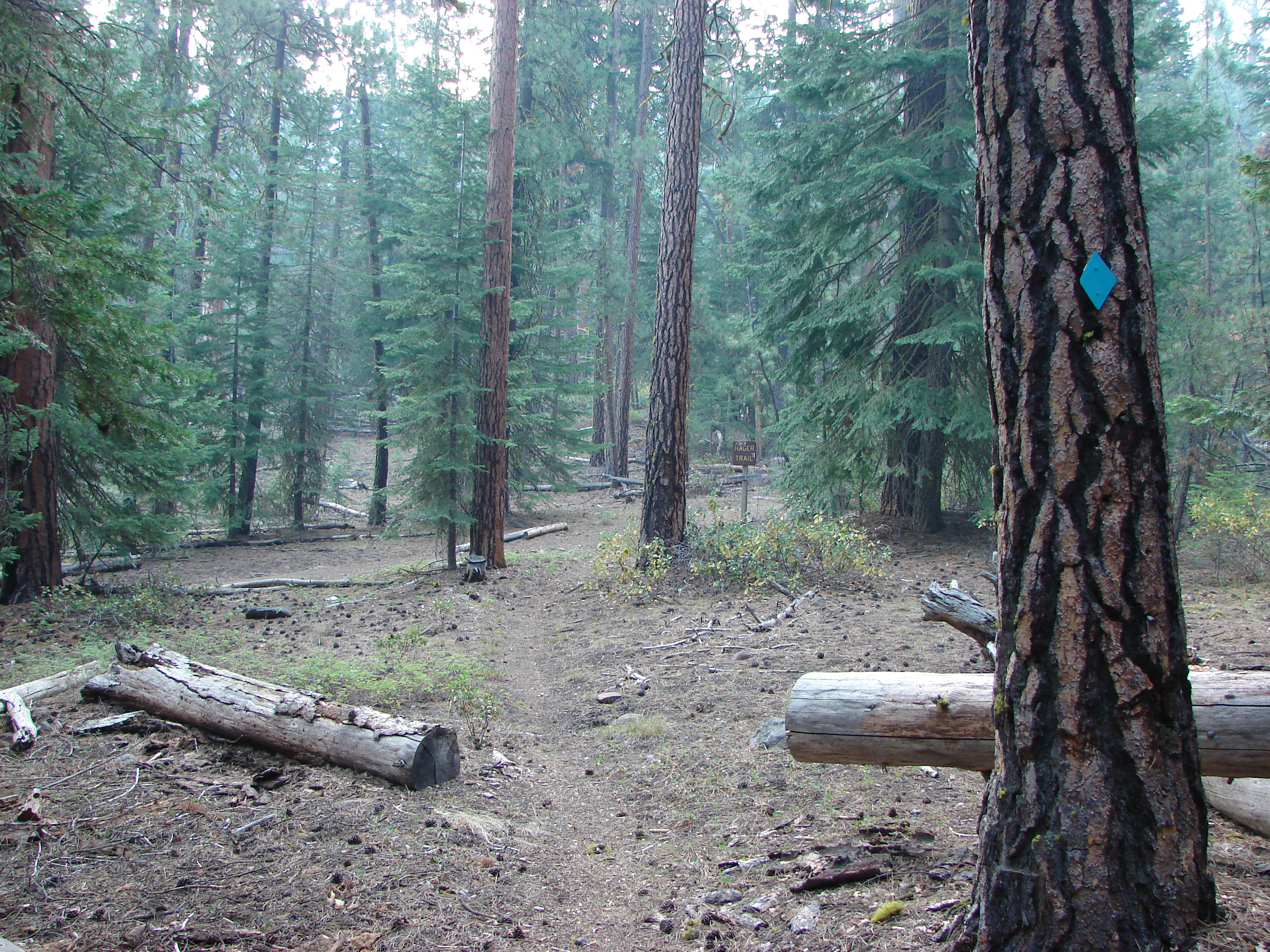
Hager Mountain Trail

Hager Mountain Trail

Cowboy Dinner Tree sign
Hager Mountain Lookout

The Cowboy Dinner Tree
Topographic Map of OR-31, Silver Lake, OR, USA
Find elevation by address:

Places near OR-31, Silver Lake, OR, USA:
Silver Lake
Fort Rock State Park
Yamsay Mountain
8969 Split Rail Rd
Obenchain Reservoir
Oregon Pines Road
45500 Or-140
1481 Linda Dr
Klamath County
Klamath Falls
1406 Cir Bar Dr
Gilchrist
Crescent
Bly
OR-, Bly, OR, USA
135878 Us-97
US-97, Chemult, OR, USA
Chemult
23401 Mt Trout Ln
Oregon 140
Recent Searches:
- Elevation of Corso Fratelli Cairoli, 35, Macerata MC, Italy
- Elevation of Tallevast Rd, Sarasota, FL, USA
- Elevation of 4th St E, Sonoma, CA, USA
- Elevation of Black Hollow Rd, Pennsdale, PA, USA
- Elevation of Oakland Ave, Williamsport, PA, USA
- Elevation of Pedrógão Grande, Portugal
- Elevation of Klee Dr, Martinsburg, WV, USA
- Elevation of Via Roma, Pieranica CR, Italy
- Elevation of Tavkvetili Mountain, Georgia
- Elevation of Hartfords Bluff Cir, Mt Pleasant, SC, USA