Elevation of OR-, Bly, OR, USA
Location: United States > Oregon > Klamath County > Bly >
Longitude: -121.04209
Latitude: 42.397458
Elevation: 1329m / 4360feet
Barometric Pressure: 86KPa
Elevation Map:
Satellite Map:
Related Photos:
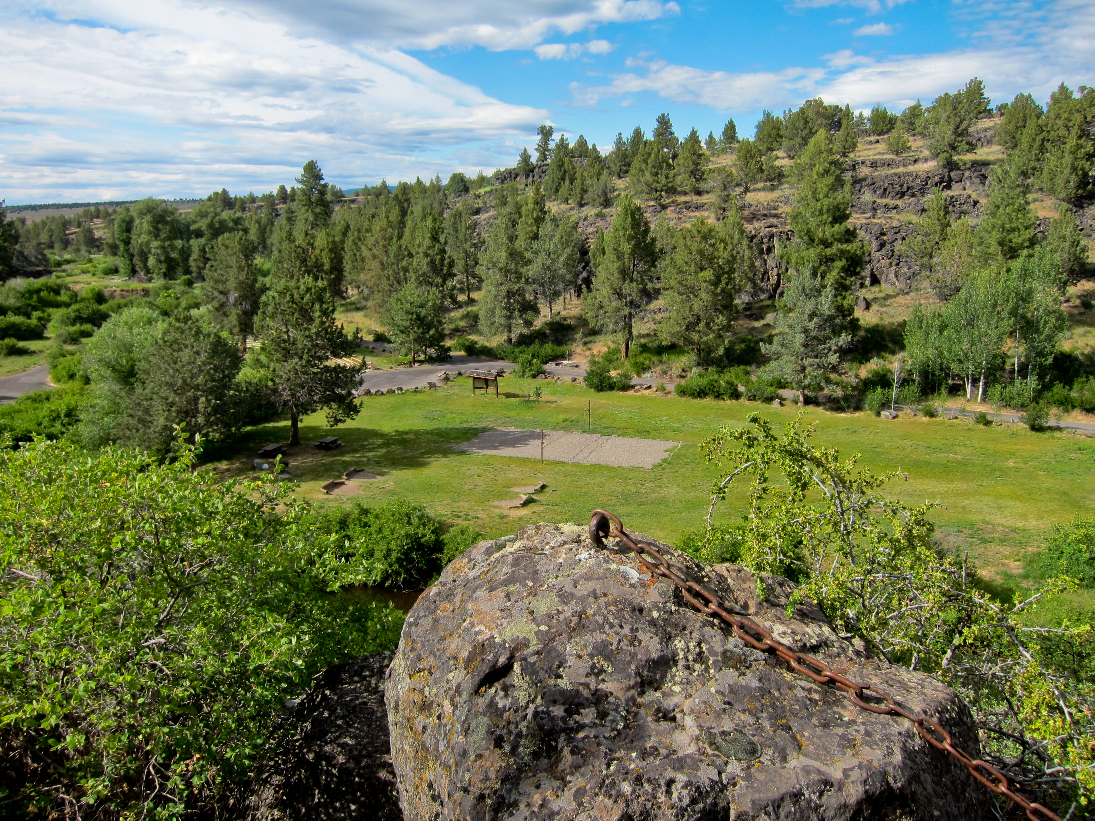
Sprague River Park, Bly, Oregon
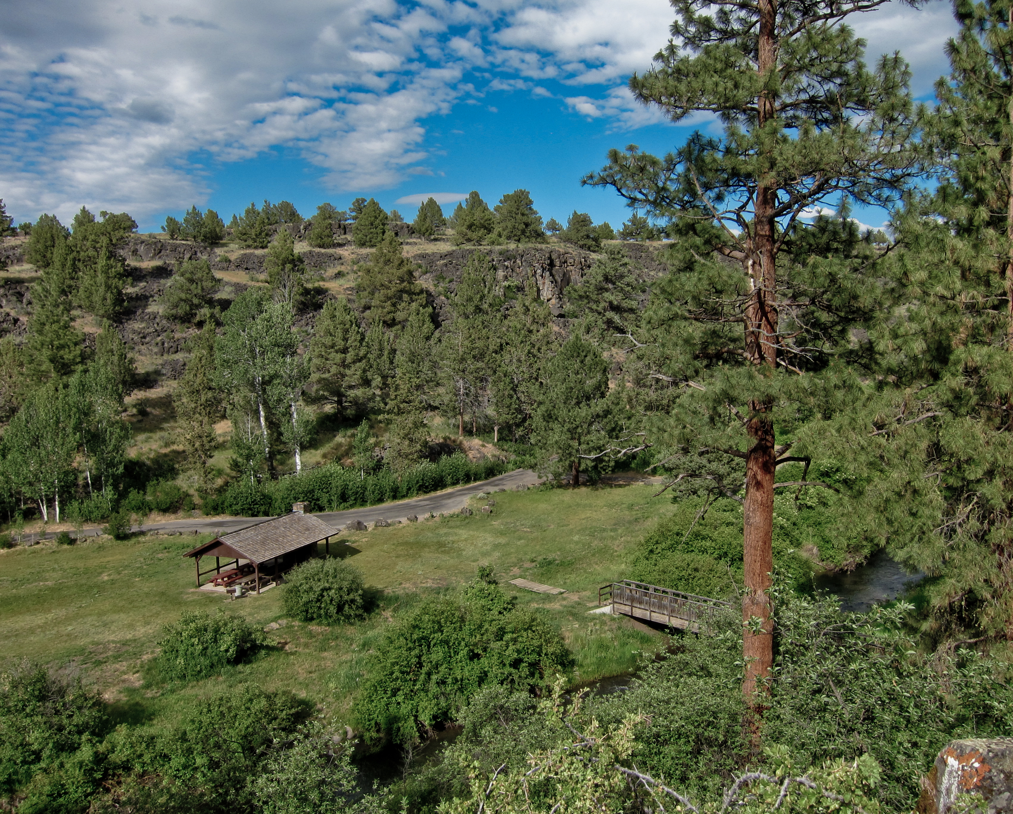
Sprague River Park, Bly, Oregon
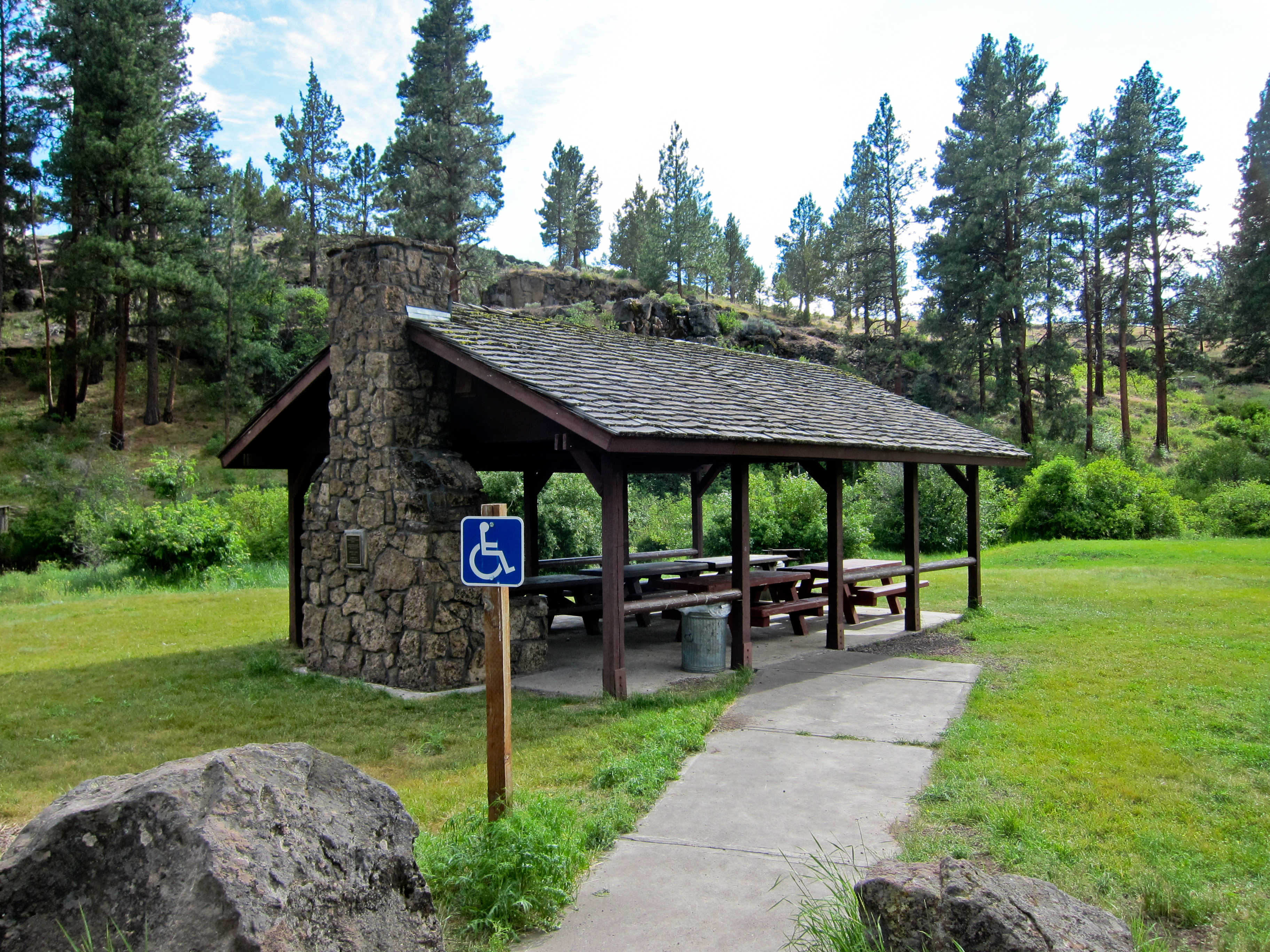
Sprague River Park, Bly, Oregon
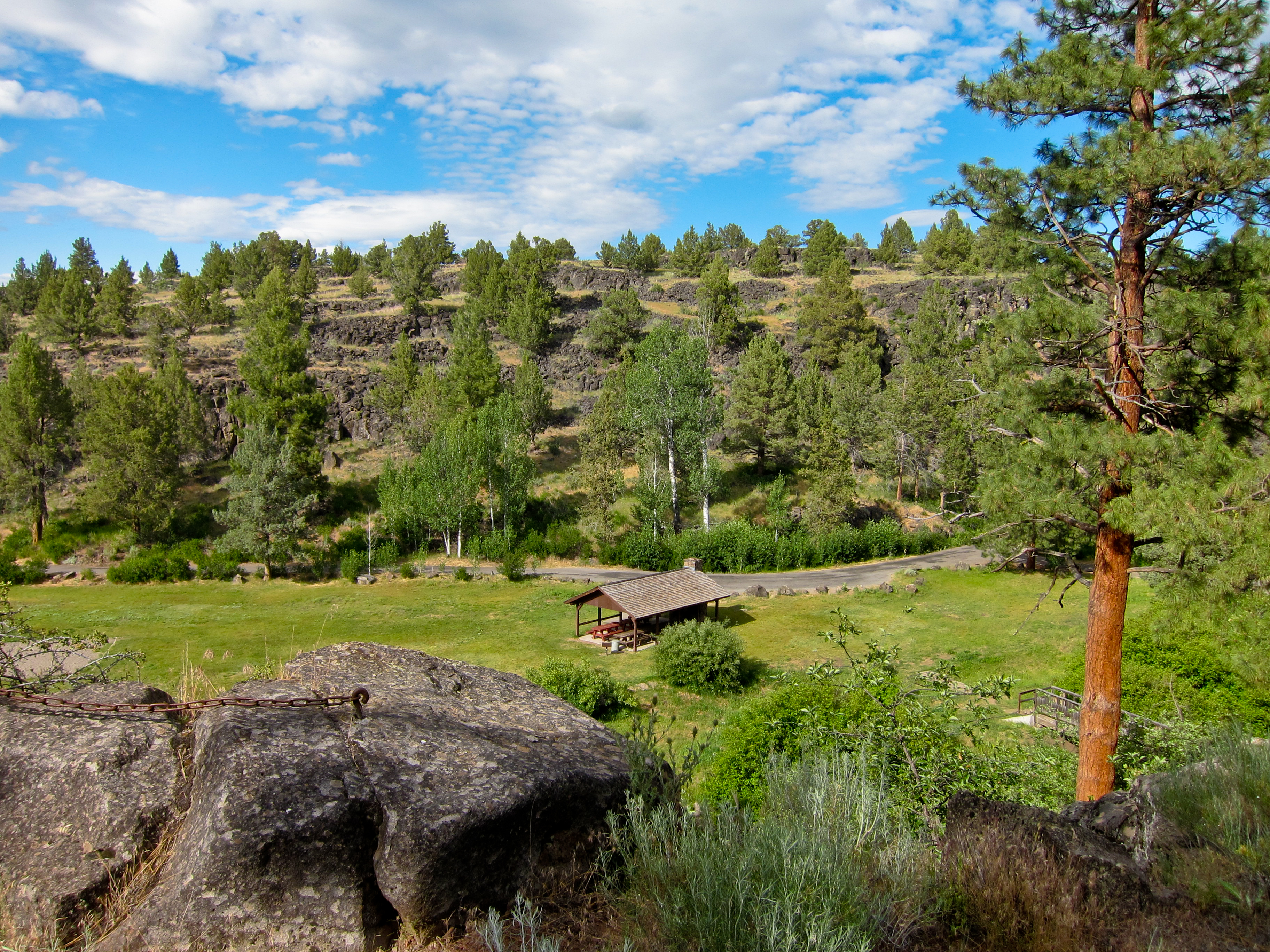
Sprague River Park, Bly, Oregon

Drive from Klamath Falls to Lakeview, Oregon

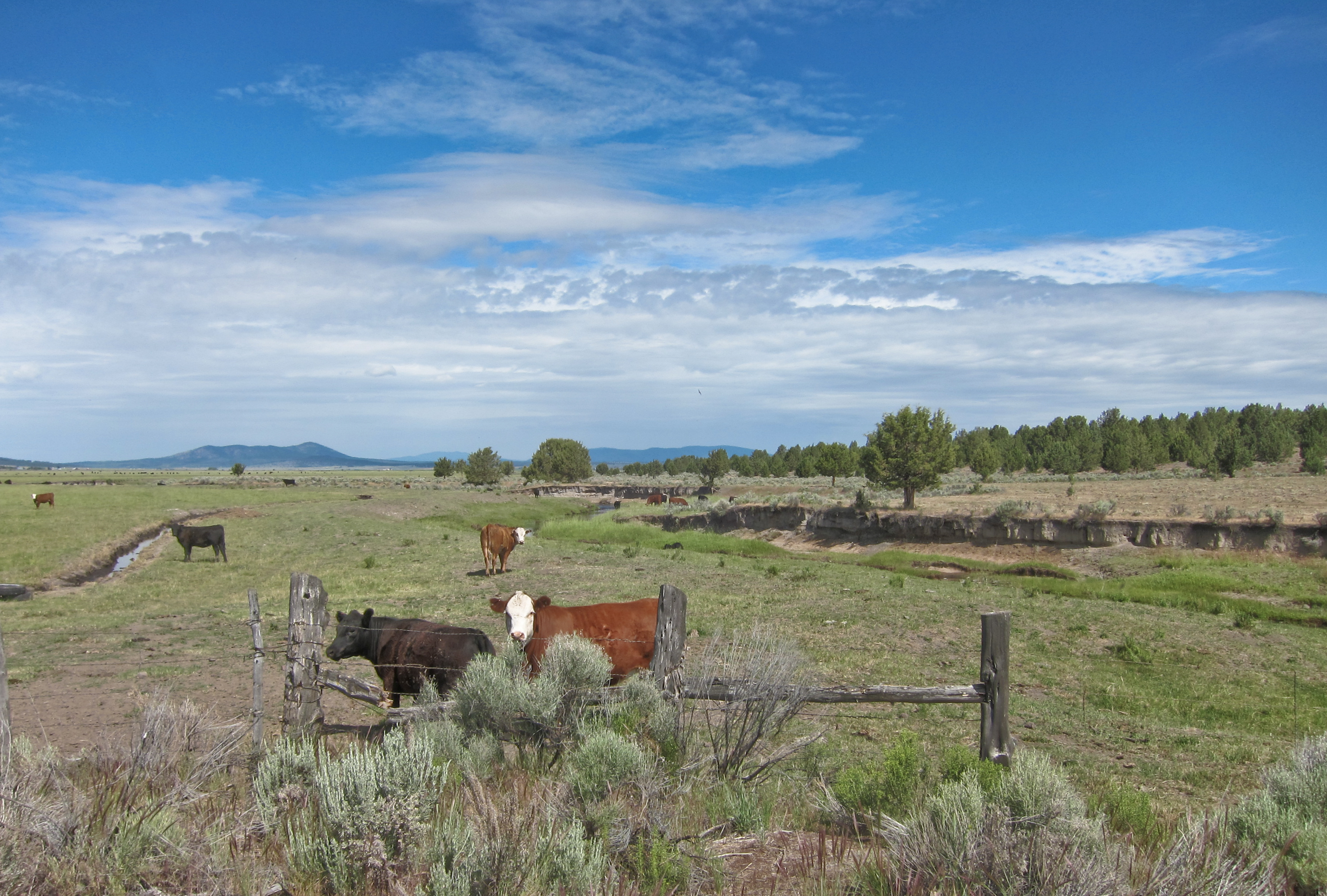
Pasture - Bly, Oregon
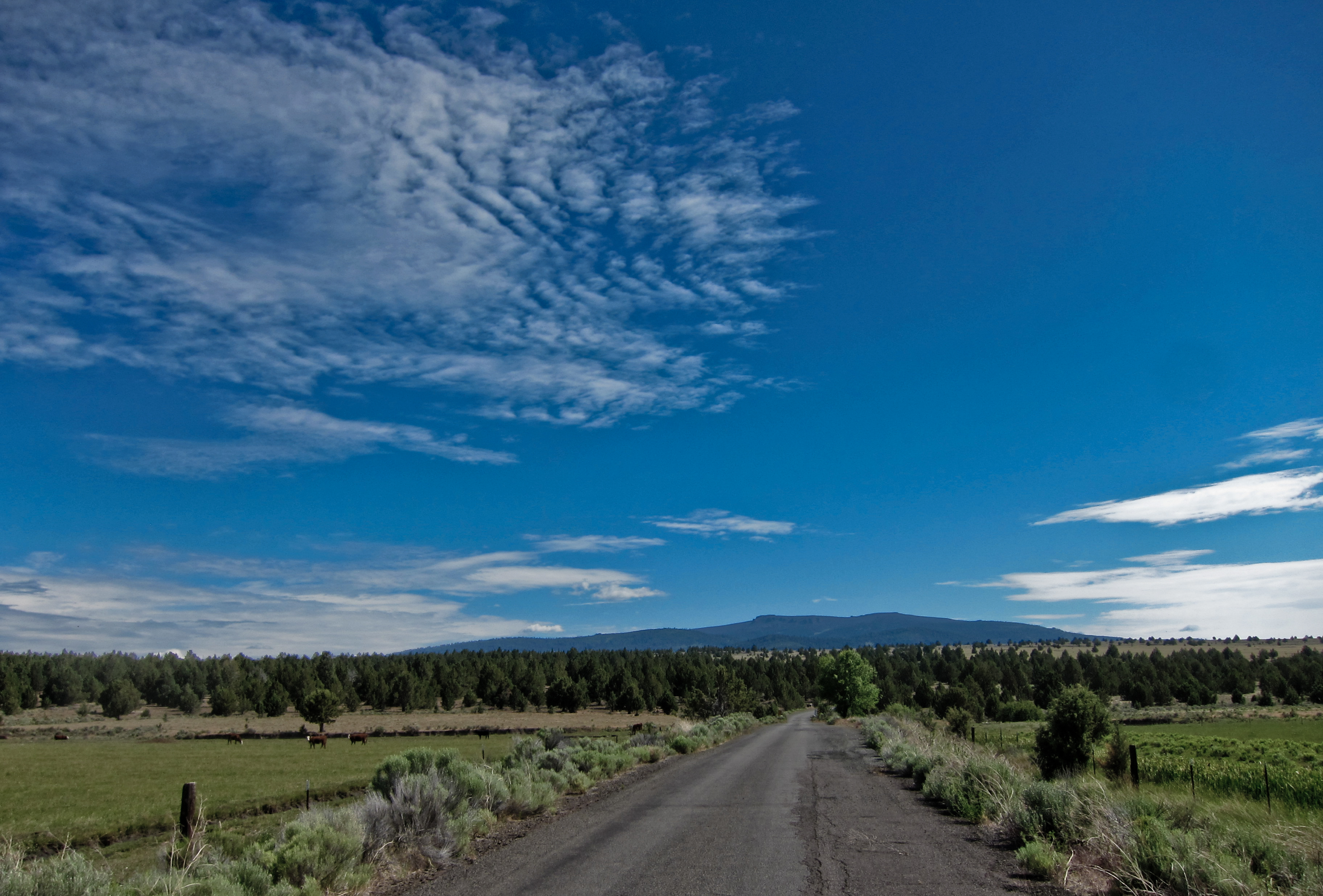
Gearhart Mountain In The Distance
Lava - Gearhart Wilderness, Oregon
Time Enough For Love

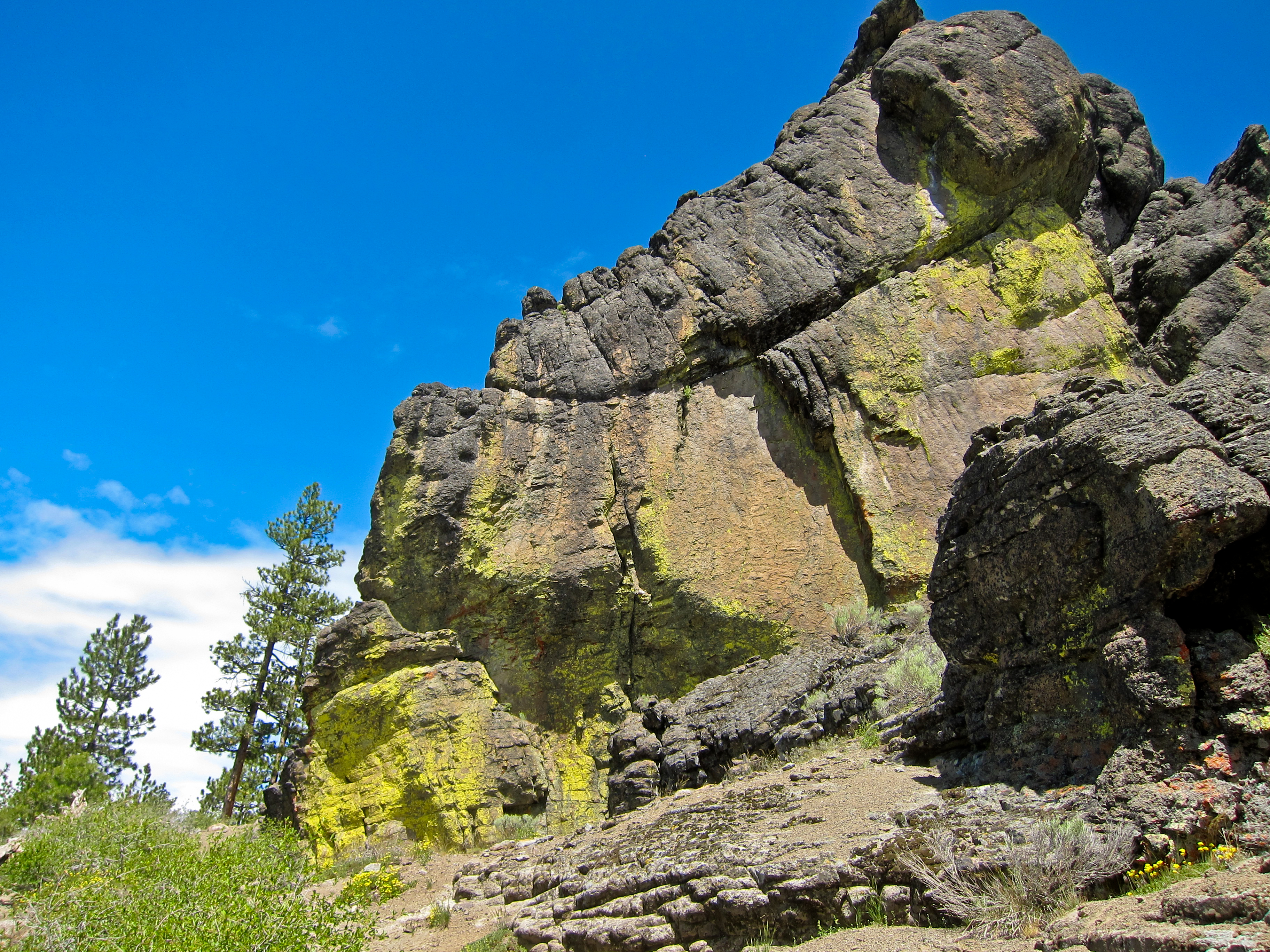
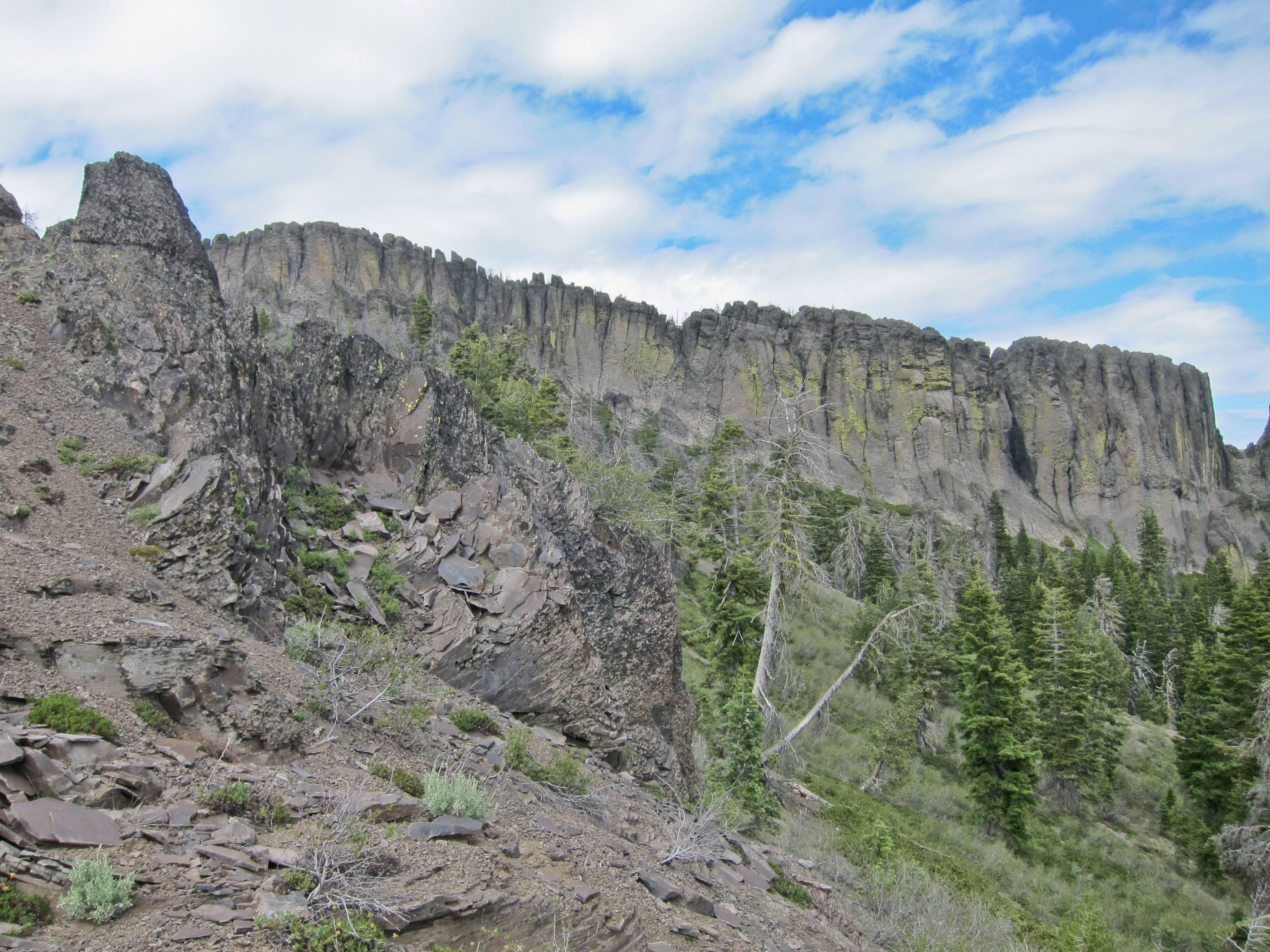
Palisades - Gearhart Wilderness, Oregon
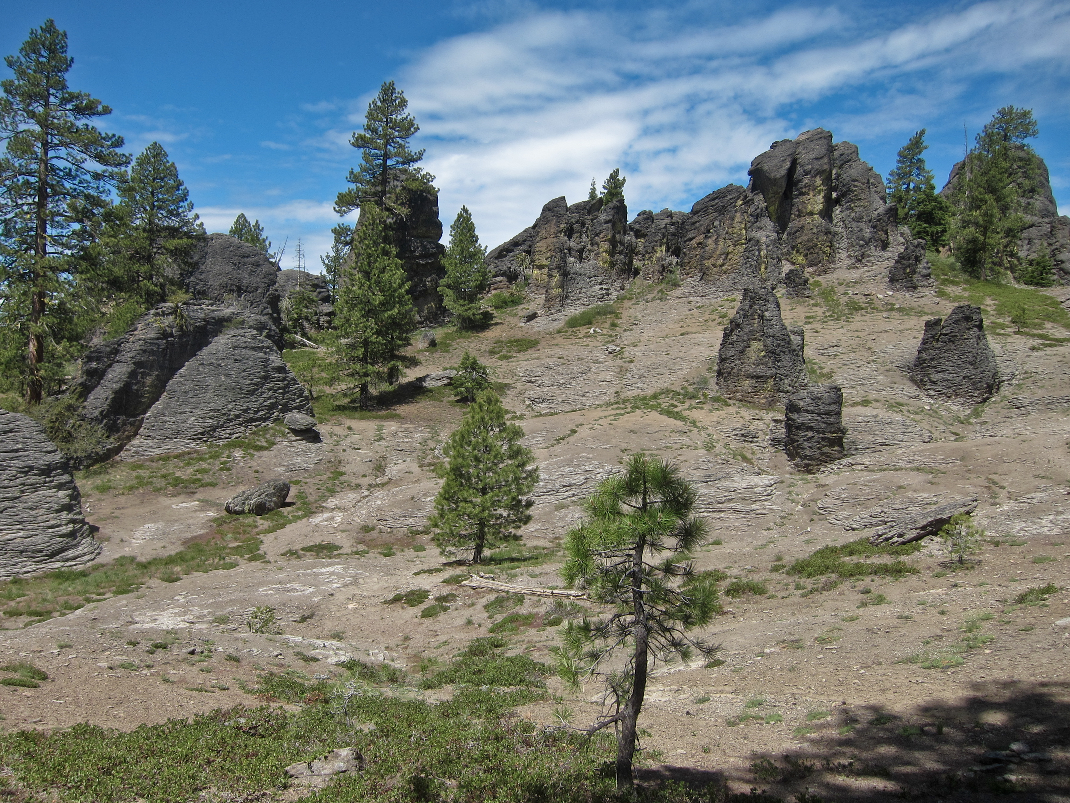
Gearhart Wilderness, Oregon
Gearhart Wilderness, Oregon

Ringo - Palisades - Gearhart Wilderness, Oregon

Drive from Klamath Falls to Lakeview, Oregon

First glimpses of Oregon
Topographic Map of OR-, Bly, OR, USA
Find elevation by address:

Places near OR-, Bly, OR, USA:
Bly
Obenchain Reservoir
Oregon 140
National Forest Development Road 3790
45500 Or-140
Oregon Pines Road
5526 Blue Heron Dr
8727 Canary Dr
14656 N Meadow Lark Dr
14656 N Meadow Lark Dr
8321 Teal Dr
6057 Brant Dr
9h37+r5
Bonanza
Hildebrand
Sprague River
23417 Cherrywood Ln
23401 Mt Trout Ln
33185 Elde St
36070 Saddle Mountain Pit Rd
Recent Searches:
- Elevation of Corso Fratelli Cairoli, 35, Macerata MC, Italy
- Elevation of Tallevast Rd, Sarasota, FL, USA
- Elevation of 4th St E, Sonoma, CA, USA
- Elevation of Black Hollow Rd, Pennsdale, PA, USA
- Elevation of Oakland Ave, Williamsport, PA, USA
- Elevation of Pedrógão Grande, Portugal
- Elevation of Klee Dr, Martinsburg, WV, USA
- Elevation of Via Roma, Pieranica CR, Italy
- Elevation of Tavkvetili Mountain, Georgia
- Elevation of Hartfords Bluff Cir, Mt Pleasant, SC, USA