Elevation of Teal Dr, Bonanza, OR, USA
Location: United States > Oregon > Klamath County > Bonanza >
Longitude: -121.42590
Latitude: 42.2994258
Elevation: 1308m / 4291feet
Barometric Pressure: 87KPa
Elevation Map:
Satellite Map:
Related Photos:
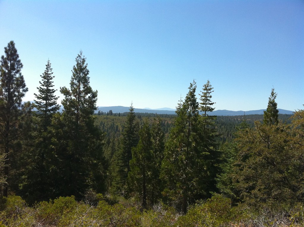
Found our Building Site. What a View.
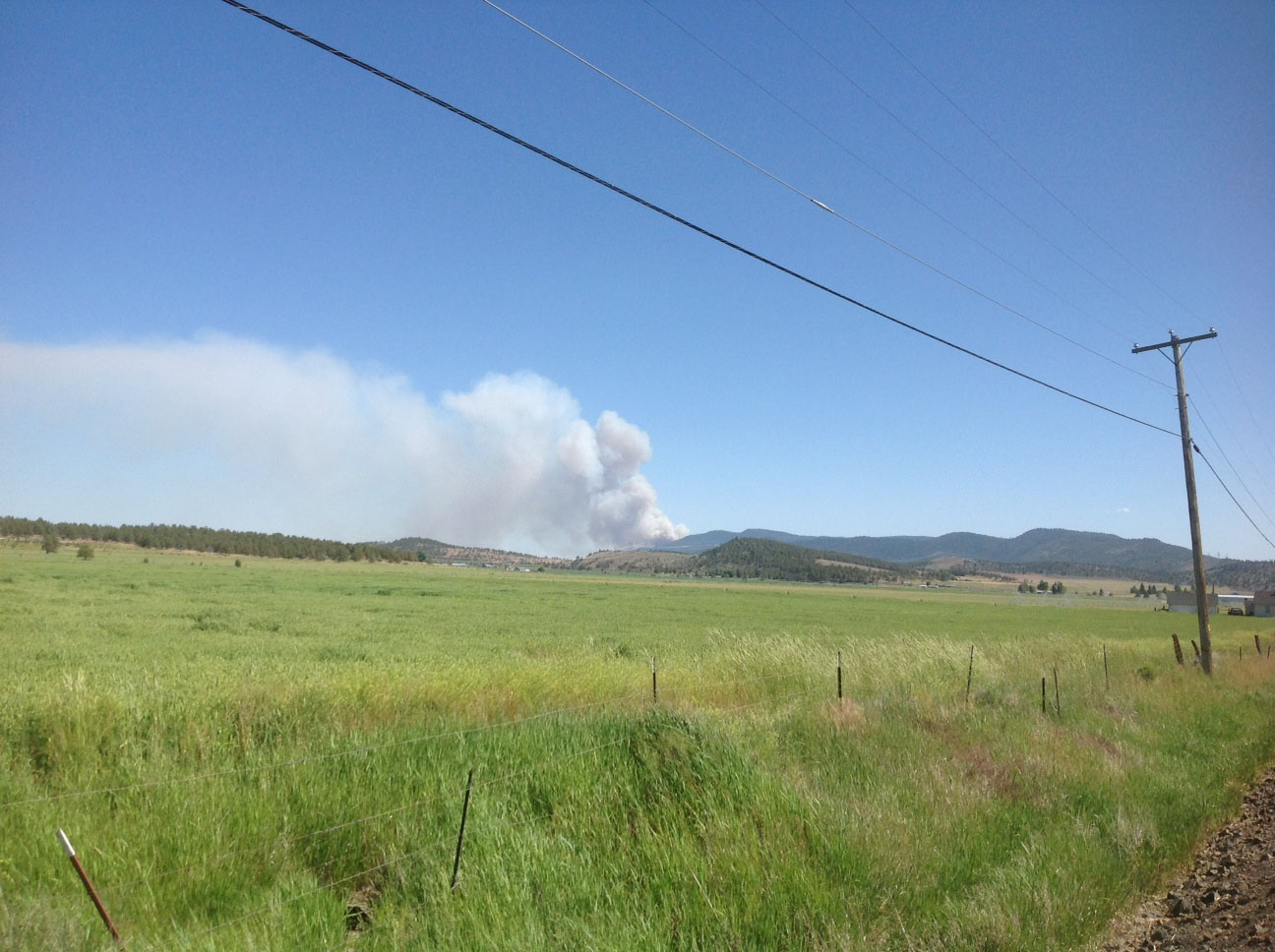
Bryant Fire
Setting Sun Salvage
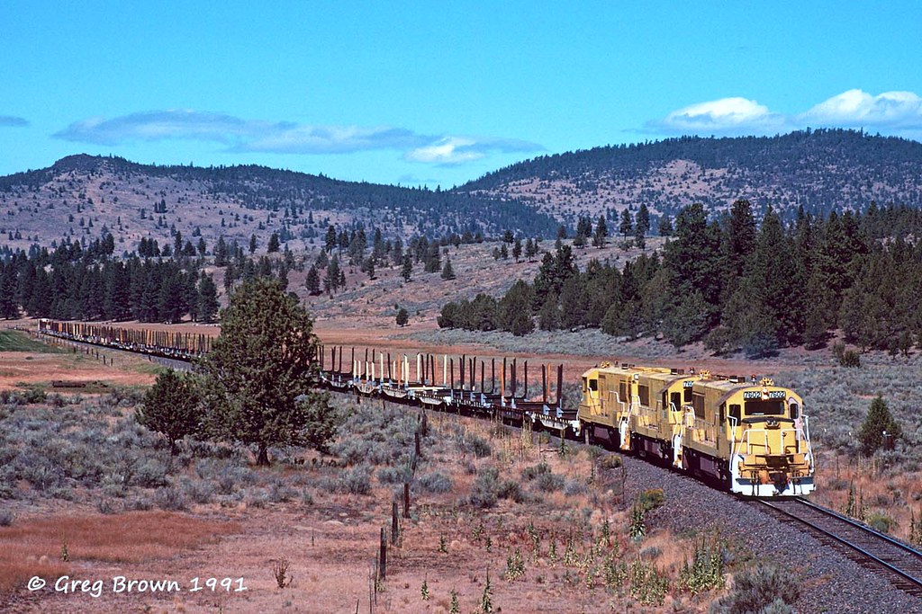
Between Klamath Falls and Lakeview, Oregon, on Hwy 140

Between Klamath Falls and Lakeview, Oregon, on Hwy 140

Klamath County, Oregon

Between Klamath Falls and Lakeview, Oregon, on Hwy 140
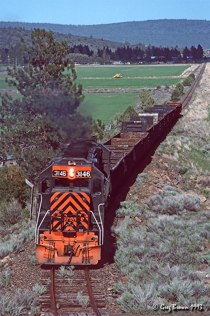
Horton Hauler

Big hole off hwy 140

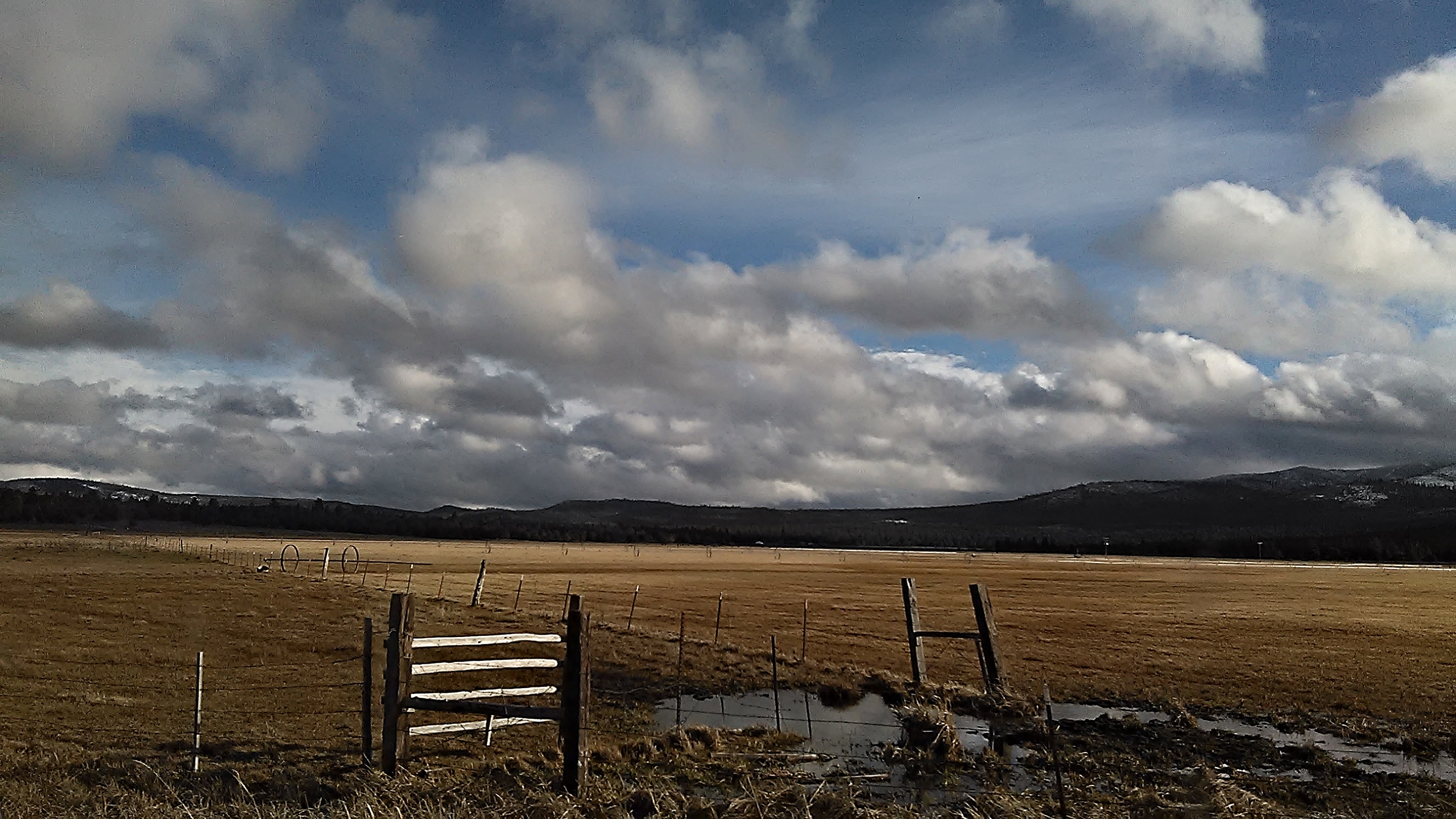
Oregon farmland
Topographic Map of Teal Dr, Bonanza, OR, USA
Find elevation by address:

Places near Teal Dr, Bonanza, OR, USA:
8727 Canary Dr
6057 Brant Dr
5526 Blue Heron Dr
Hildebrand
9h37+r5
14656 N Meadow Lark Dr
14656 N Meadow Lark Dr
Bonanza
Sprague River
23417 Cherrywood Ln
Oregon Pines Road
45500 Or-140
23401 Mt Trout Ln
Swan Lake Point
33185 Elde St
2312 Western St
1726 Winona Way
5833 Valley Ct
36070 Saddle Mountain Pit Rd
4856 Clinton Ave
Recent Searches:
- Elevation of Congressional Dr, Stevensville, MD, USA
- Elevation of Bellview Rd, McLean, VA, USA
- Elevation of Stage Island Rd, Chatham, MA, USA
- Elevation of Shibuya Scramble Crossing, 21 Udagawacho, Shibuya City, Tokyo -, Japan
- Elevation of Jadagoniai, Kaunas District Municipality, Lithuania
- Elevation of Pagonija rock, Kranto 7-oji g. 8"N, Kaunas, Lithuania
- Elevation of Co Rd 87, Jamestown, CO, USA
- Elevation of Tenjo, Cundinamarca, Colombia
- Elevation of Côte-des-Neiges, Montreal, QC H4A 3J6, Canada
- Elevation of Bobcat Dr, Helena, MT, USA