Elevation of Gilchrist, OR, USA
Location: United States > Oregon > Klamath County >
Longitude: -121.68530
Latitude: 43.4770694
Elevation: 1370m / 4495feet
Barometric Pressure: 86KPa
Elevation Map:
Satellite Map:
Related Photos:

The Klamath Northern

The Crescent Motel
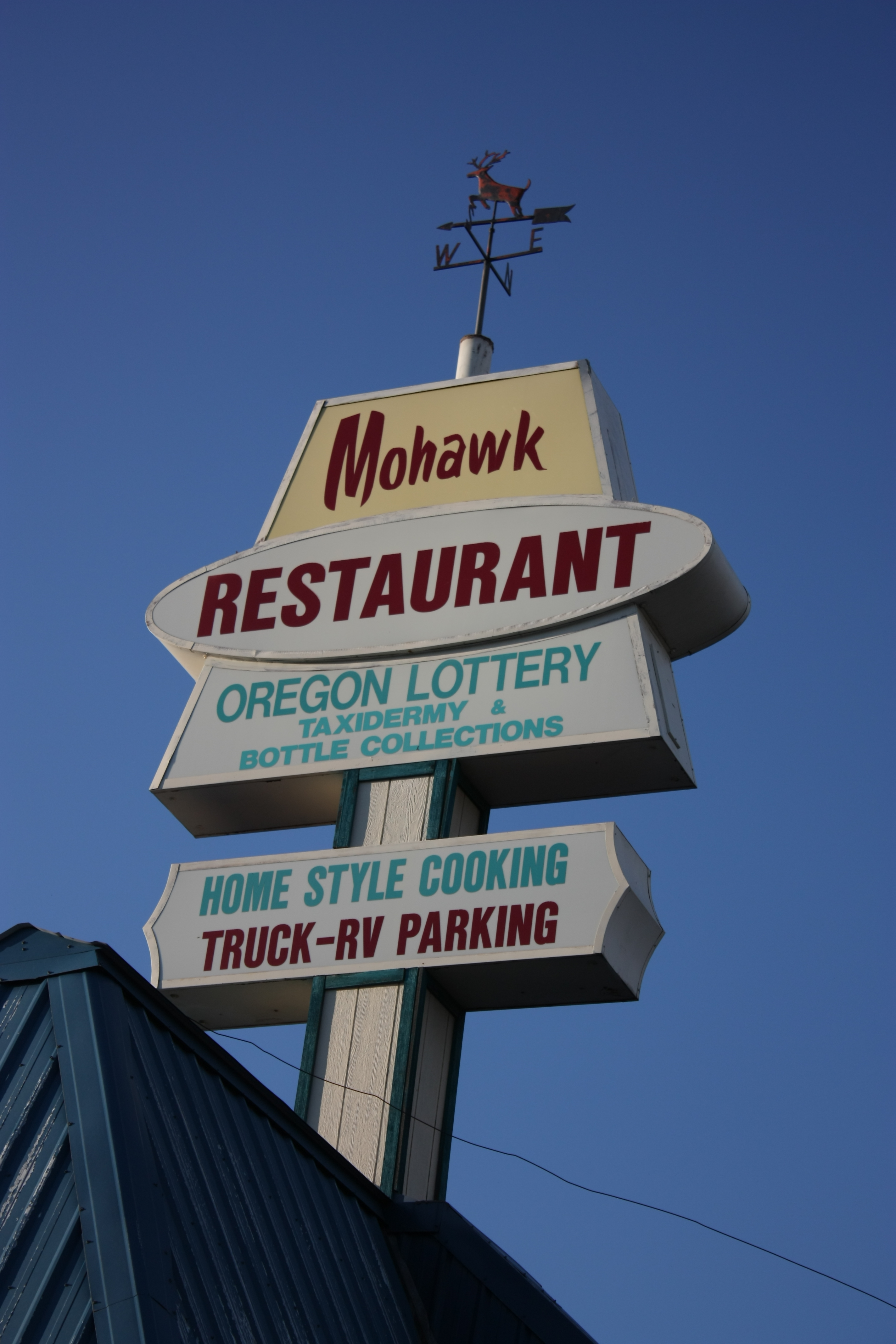
The Mohawk

Bear and Flag

Abandoned General Store

Bear Loves Salmon

Northern Waterthrush

Northern Waterthrush

#Explored. Fall day along Little Deschutes River, Oregon.

Mt. Hood . . .

Lava Fields

20180902[144730]

20180902[144358]

DSC_0578.JPG

DSC_0580.JPG

DSC_0589.JPG

Mt Bachelor #nofilter

DSC_0581.JPG

DSC_0590.JPG

127-2705_IMG

127-2708_IMG

DSC_0579.JPG

Crescent Fire Protection District

127-2704_IMG
Topographic Map of Gilchrist, OR, USA
Find elevation by address:

Places near Gilchrist, OR, USA:
Crescent
135878 Us-97
1481 Linda Dr
1406 Cir Bar Dr
Hamner Butte
Odell Butte
8969 Split Rail Rd
US-97, Chemult, OR, USA
Chemult
Crescent Lake
Odell Lake
The Dalles-california Highway
Diamond Peak
Mount Thielsen
Diamond Lake
Lemolo Falls
Winema National Forest
Diamond Lake
Clearwater Falls
Mount Bailey
Recent Searches:
- Elevation of Congressional Dr, Stevensville, MD, USA
- Elevation of Bellview Rd, McLean, VA, USA
- Elevation of Stage Island Rd, Chatham, MA, USA
- Elevation of Shibuya Scramble Crossing, 21 Udagawacho, Shibuya City, Tokyo -, Japan
- Elevation of Jadagoniai, Kaunas District Municipality, Lithuania
- Elevation of Pagonija rock, Kranto 7-oji g. 8"N, Kaunas, Lithuania
- Elevation of Co Rd 87, Jamestown, CO, USA
- Elevation of Tenjo, Cundinamarca, Colombia
- Elevation of Côte-des-Neiges, Montreal, QC H4A 3J6, Canada
- Elevation of Bobcat Dr, Helena, MT, USA