Elevation of Split Rail Rd, La Pine, OR, USA
Location: United States > Oregon > Klamath County > Gilchrist >
Longitude: -121.51730
Latitude: 43.5500776
Elevation: 1309m / 4295feet
Barometric Pressure: 87KPa
Elevation Map:
Satellite Map:
Related Photos:
Barns and Birds

Northern Waterthrush

West View Motel

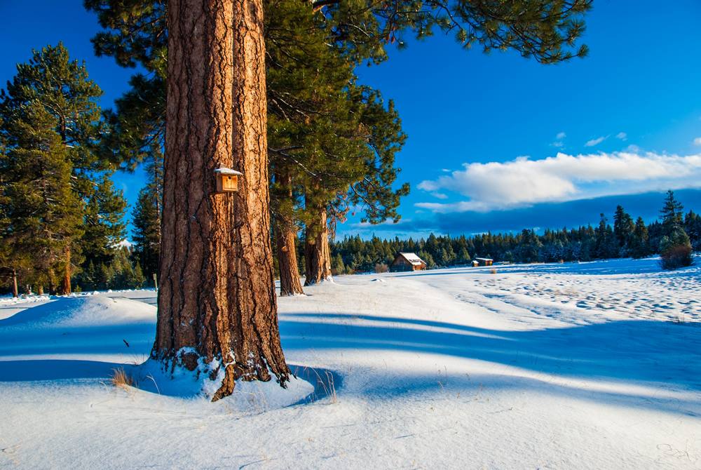
LaPine Sunrise

Dusk in Central Oregon . . .

North End of the Oregon Outback Scenic Byway, La Pine, OR
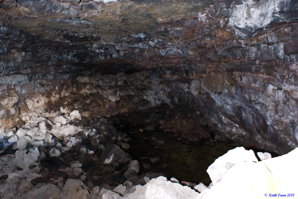
South Ice Cave
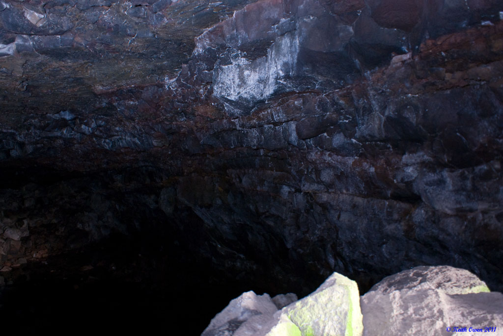
South Ice Cave
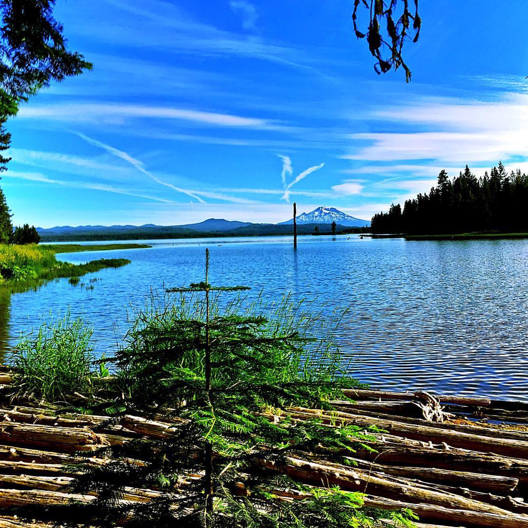
#craineprairie and #SouthSister
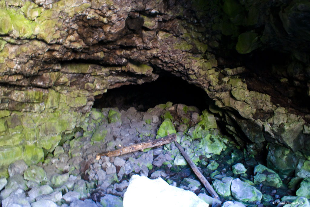
South Ice Cave
Topographic Map of Split Rail Rd, La Pine, OR, USA
Find elevation by address:

Places near Split Rail Rd, La Pine, OR, USA:
1481 Linda Dr
1406 Cir Bar Dr
Gilchrist
Crescent
135878 Us-97
Hamner Butte
Odell Butte
US-97, Chemult, OR, USA
Chemult
Odell Lake
Crescent Lake
Fort Rock State Park
The Dalles-california Highway
OR-31, Silver Lake, OR, USA
Silver Lake
Diamond Peak
Yamsay Mountain
Mount Thielsen
Winema National Forest
Diamond Lake
Recent Searches:
- Elevation of East W.T. Harris Boulevard, E W.T. Harris Blvd, Charlotte, NC, USA
- Elevation of West Sugar Creek, Charlotte, NC, USA
- Elevation of Wayland, NY, USA
- Elevation of Steadfast Ct, Daphne, AL, USA
- Elevation of Lagasgasan, X+CQH, Tiaong, Quezon, Philippines
- Elevation of Rojo Ct, Atascadero, CA, USA
- Elevation of Flagstaff Drive, Flagstaff Dr, North Carolina, USA
- Elevation of Avery Ln, Lakeland, FL, USA
- Elevation of Woolwine, VA, USA
- Elevation of Lumagwas Diversified Farmers Multi-Purpose Cooperative, Lumagwas, Adtuyon, RV32+MH7, Pangantucan, Bukidnon, Philippines