Elevation of Old Middle Creek Rd, Prestonsburg, KY, USA
Location: United States > Kentucky > Floyd County > Prestonsburg >
Longitude: -82.898712
Latitude: 37.664866
Elevation: 213m / 699feet
Barometric Pressure: 99KPa
Elevation Map:
Satellite Map:
Related Photos:
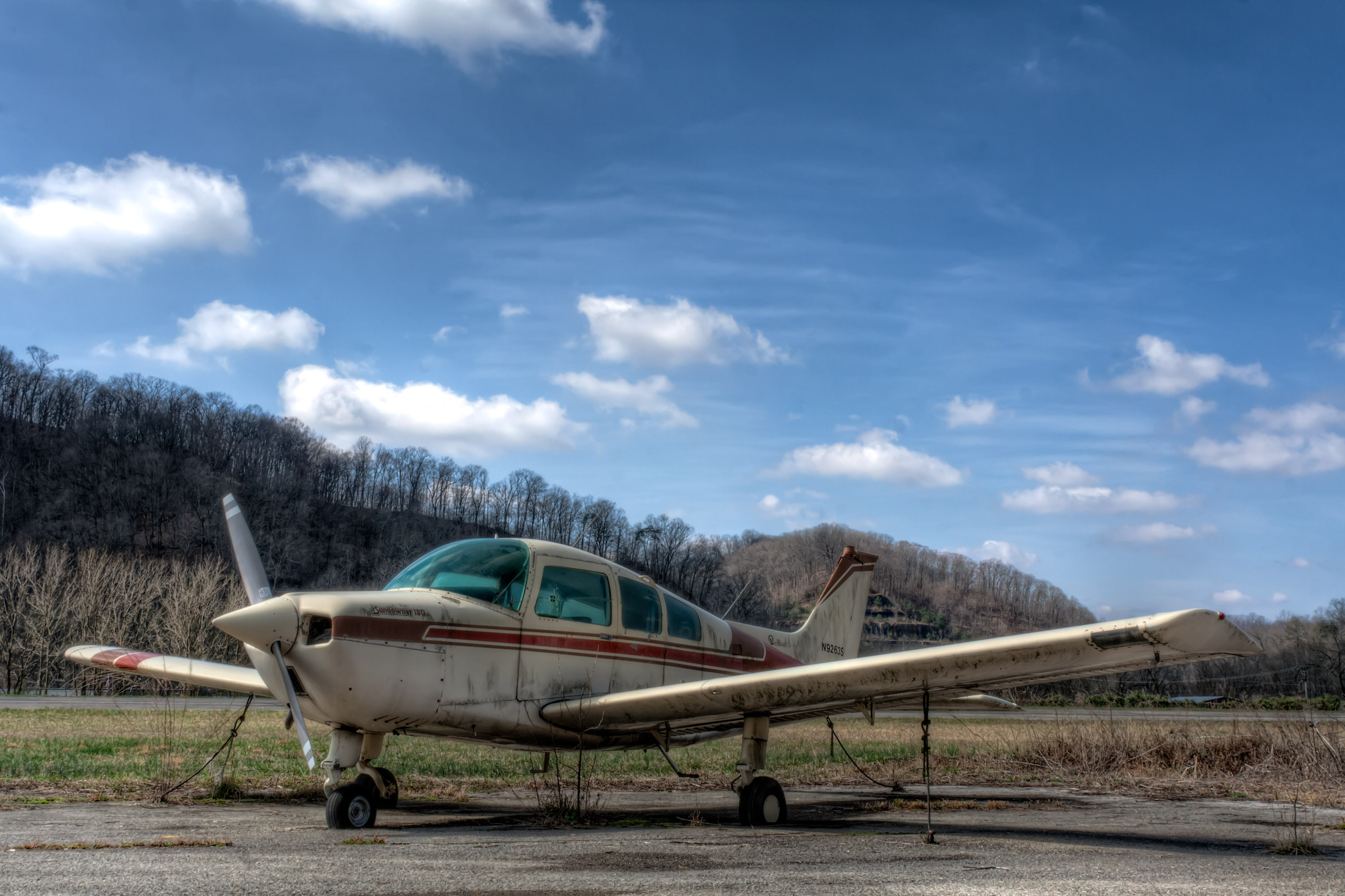
IMG_1477_8_9_tonemapped-Edit.jpg
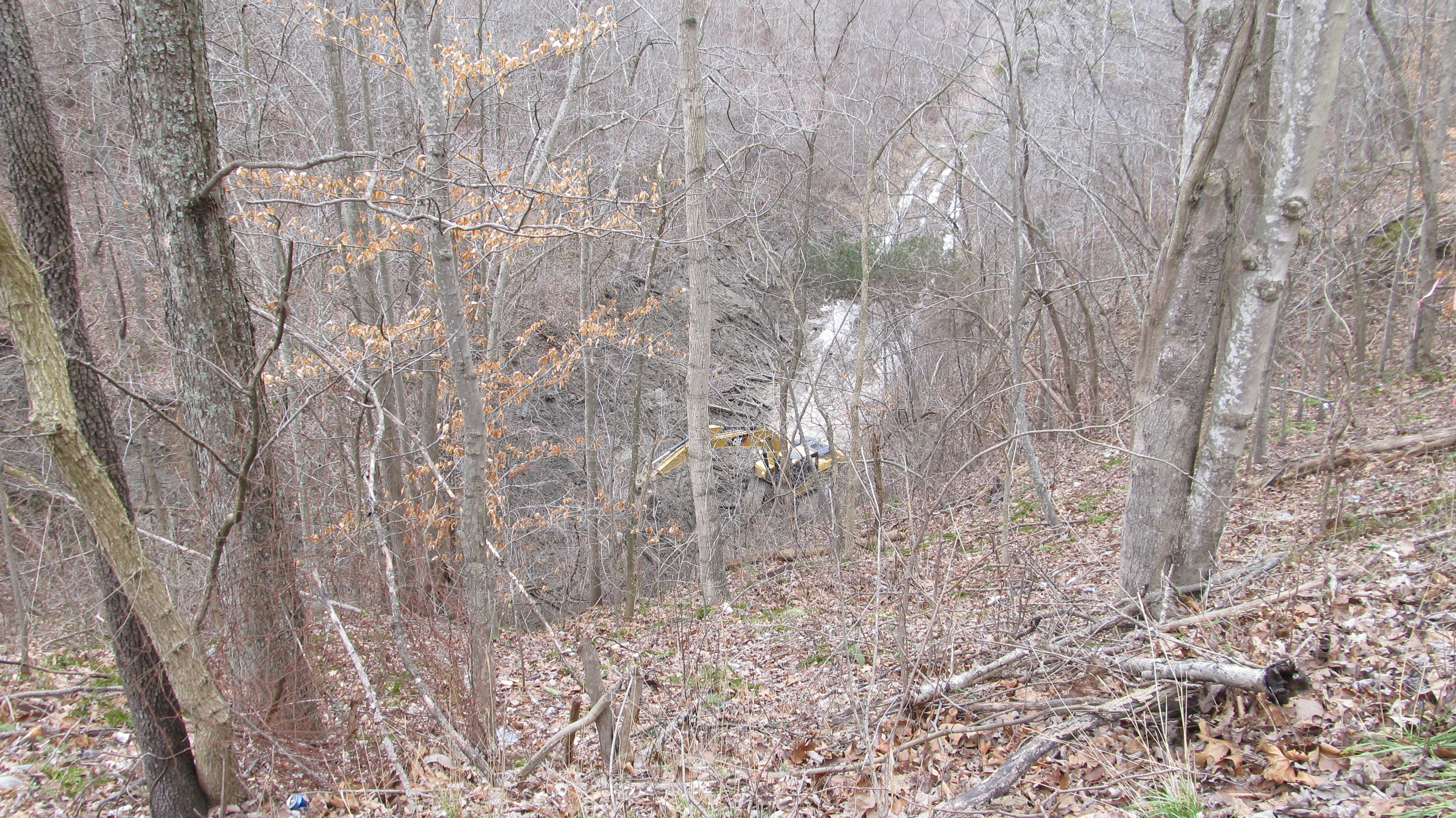
Dawkins Line MP 15.0 - Gun Creek Tunnel - South Portal - DSC00953
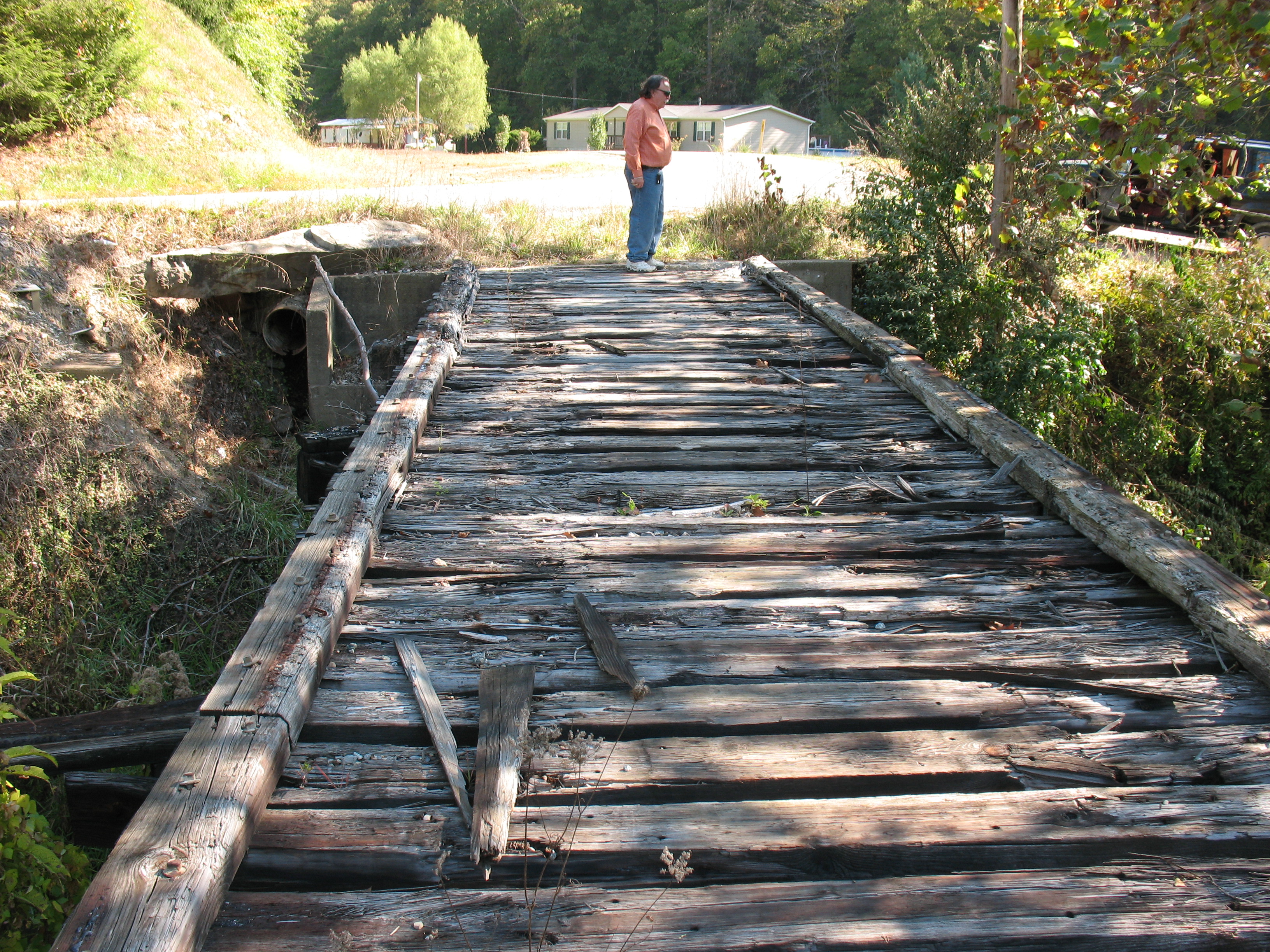
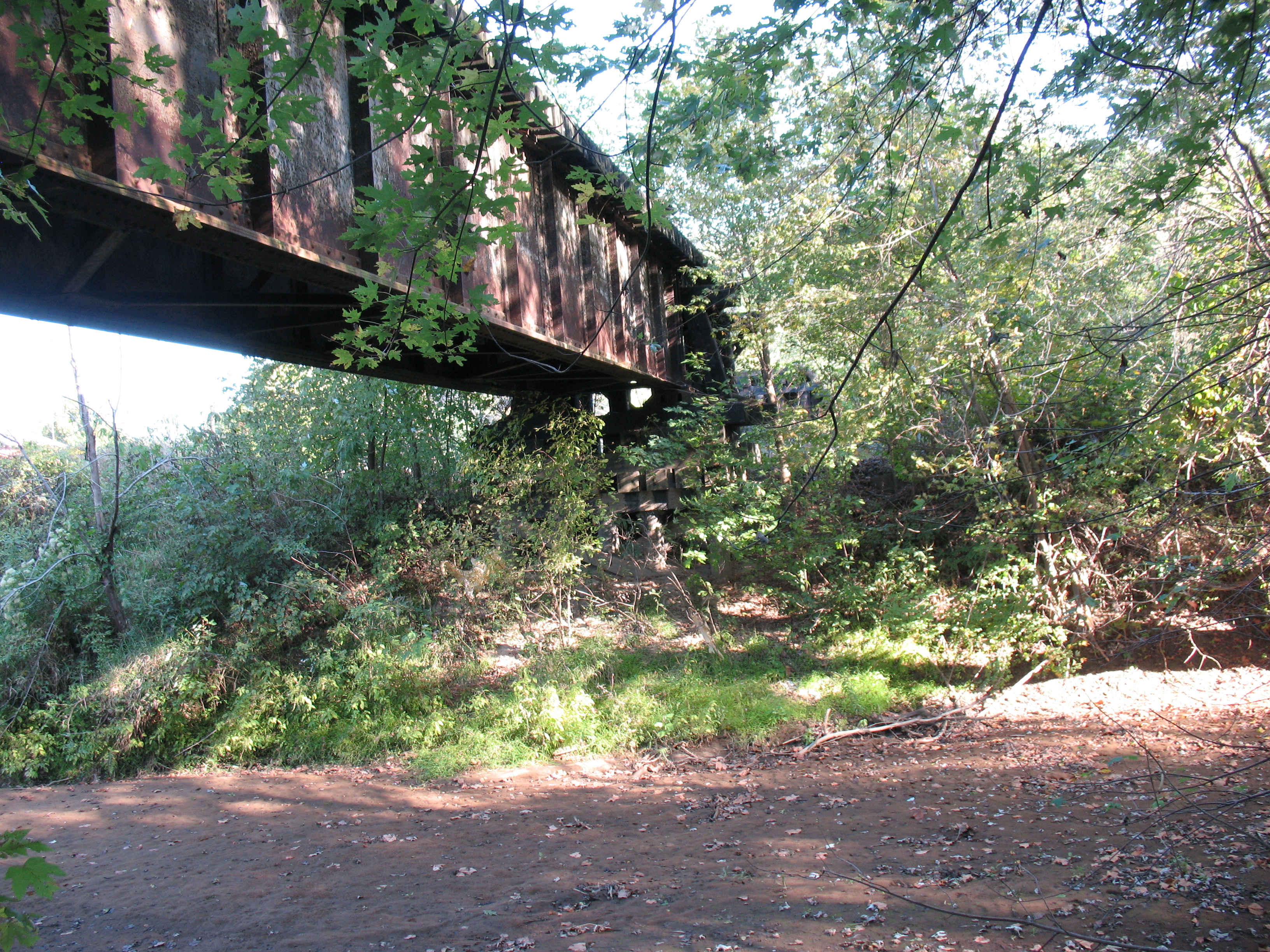
Dawkins Line MP 16.7 - Trestle Over Gun Creek - IMG_3953

Dawkins Line MP 15.0 - Gun Creek Tunnel - South Portal - IMG_4687
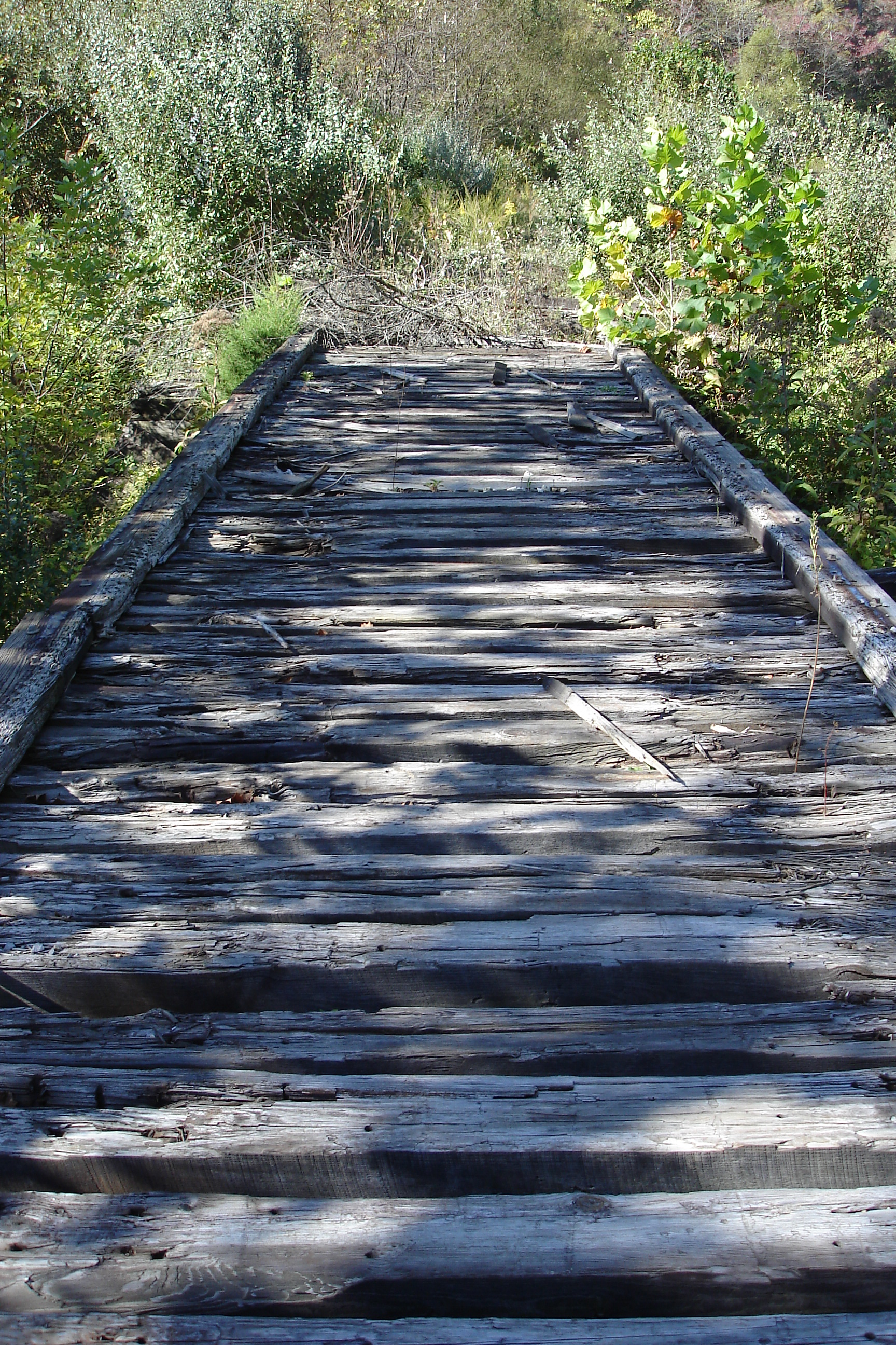
Dawkins Line MP 16.7 - Trestle Over Gun Creek - DSC00615
Dawkins Line MP 15.0 - Gun Creek Tunnel - South Portal - IMG_4690
Dawkins Line MP 19.7 - Licking River Bridge - South Side - IMG_3909

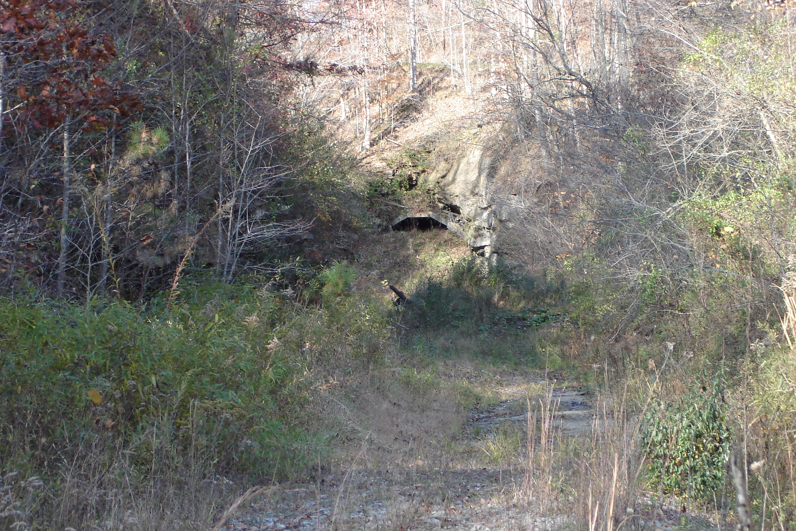
Dawkins Line MP 14.9 - Gun Creek Tunnel - North Portal - IMG_4685
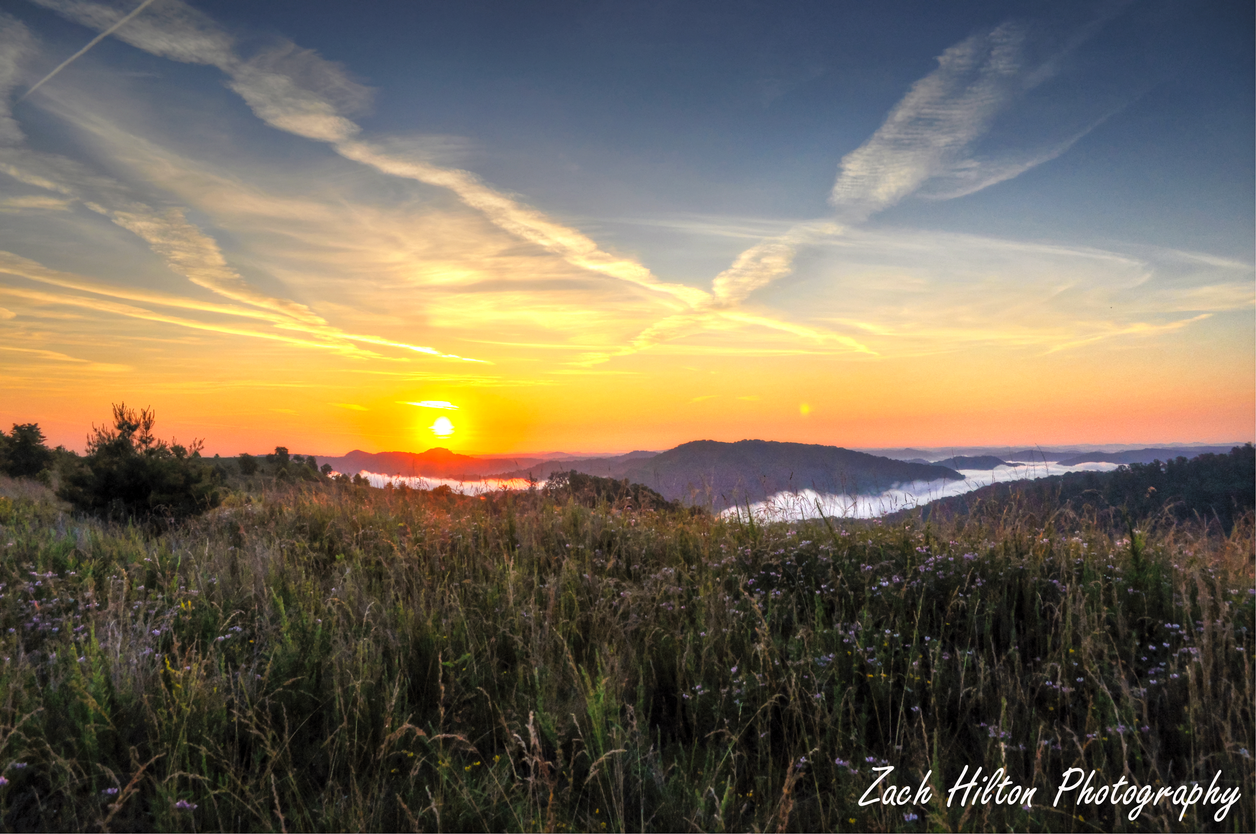
Mountain Sunrise
010-b

Marina 2
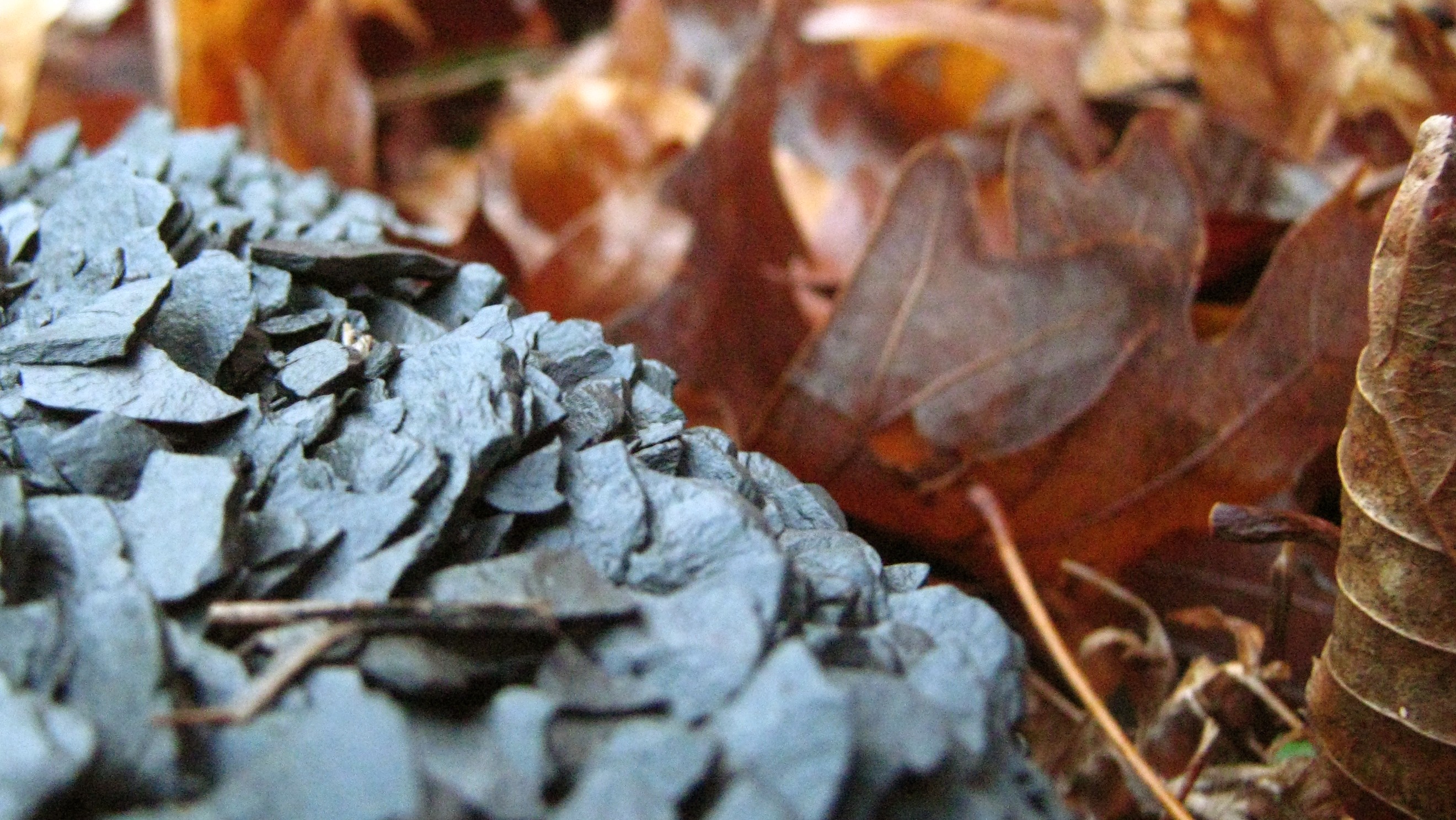
coal leaves
Battle of Middle Creek
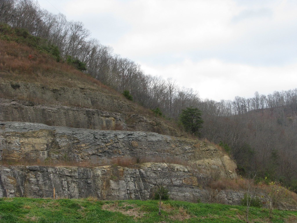
Dawkins Line MP 2.4 - Collista - DSC00944
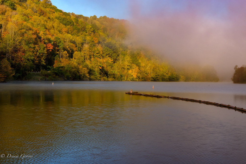
Marina Colors and Fog
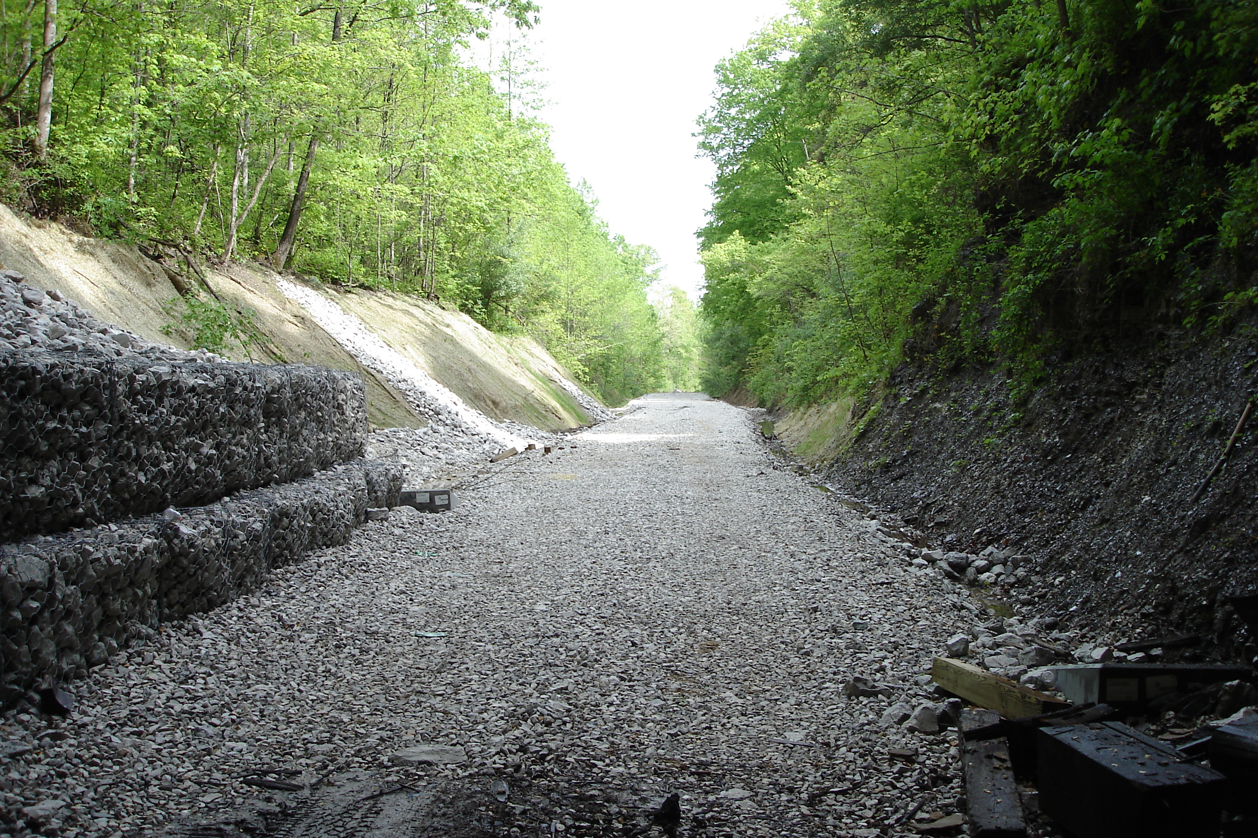
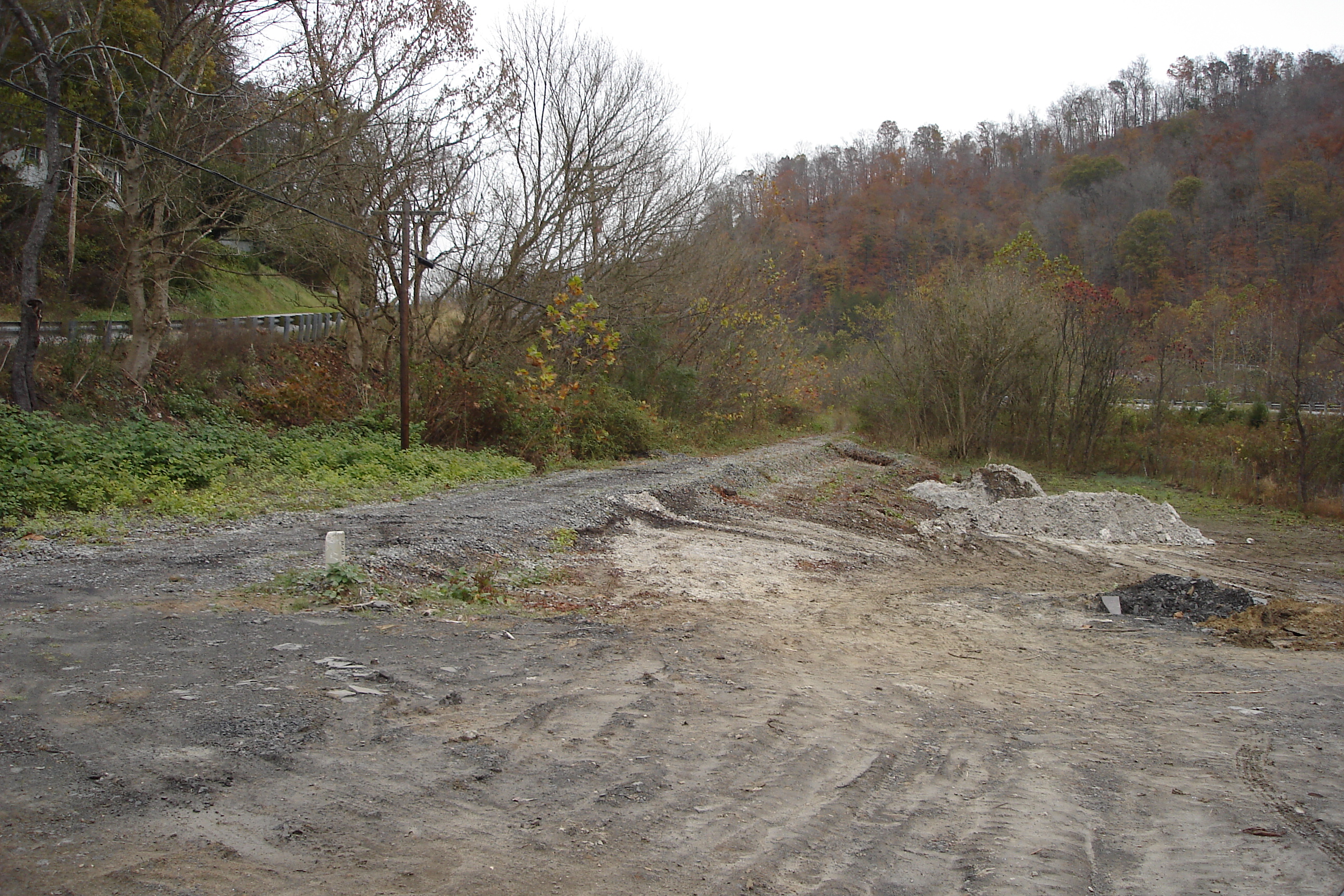
Dawkins Trail Line - MP 14.0 - Gun Creek Tunnel - DSC01161
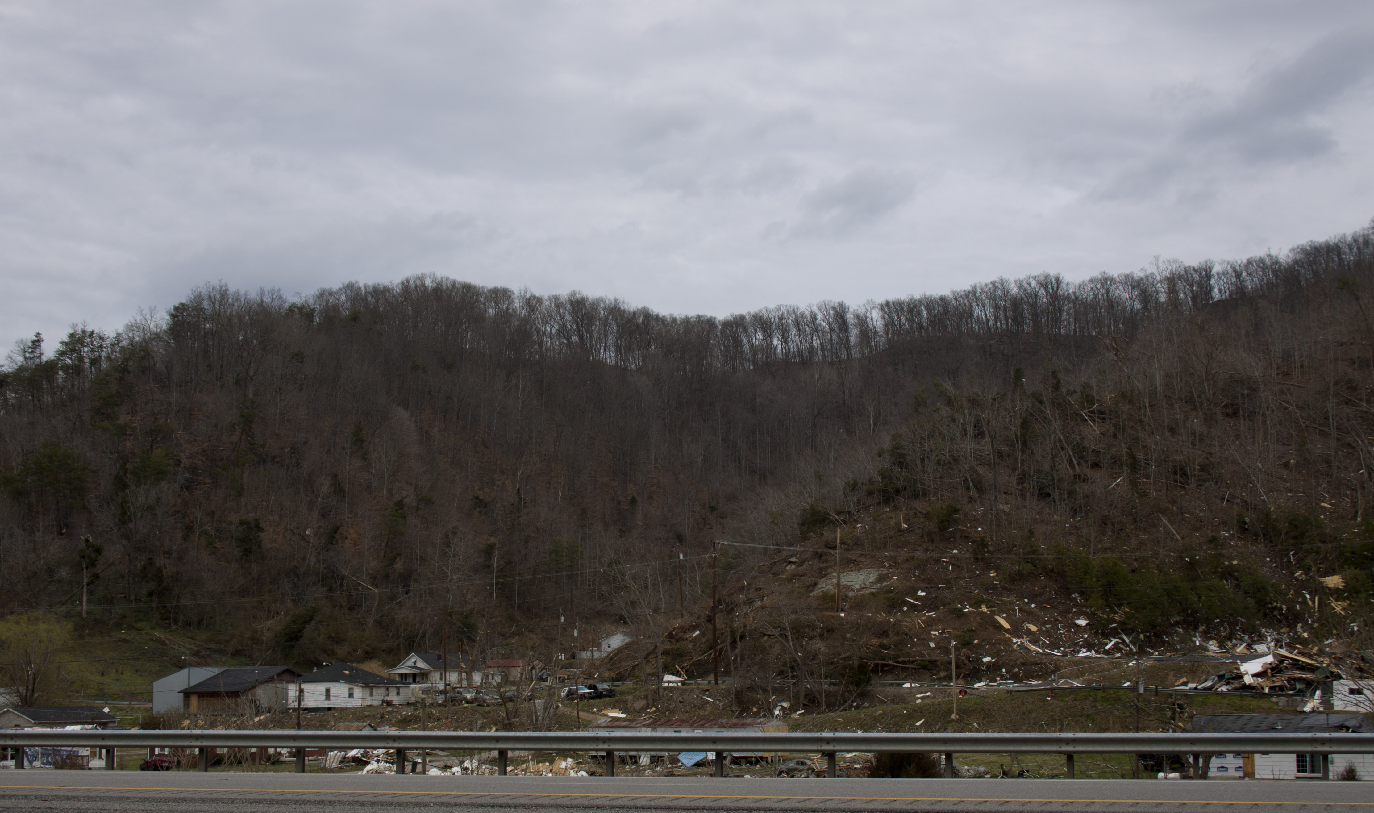
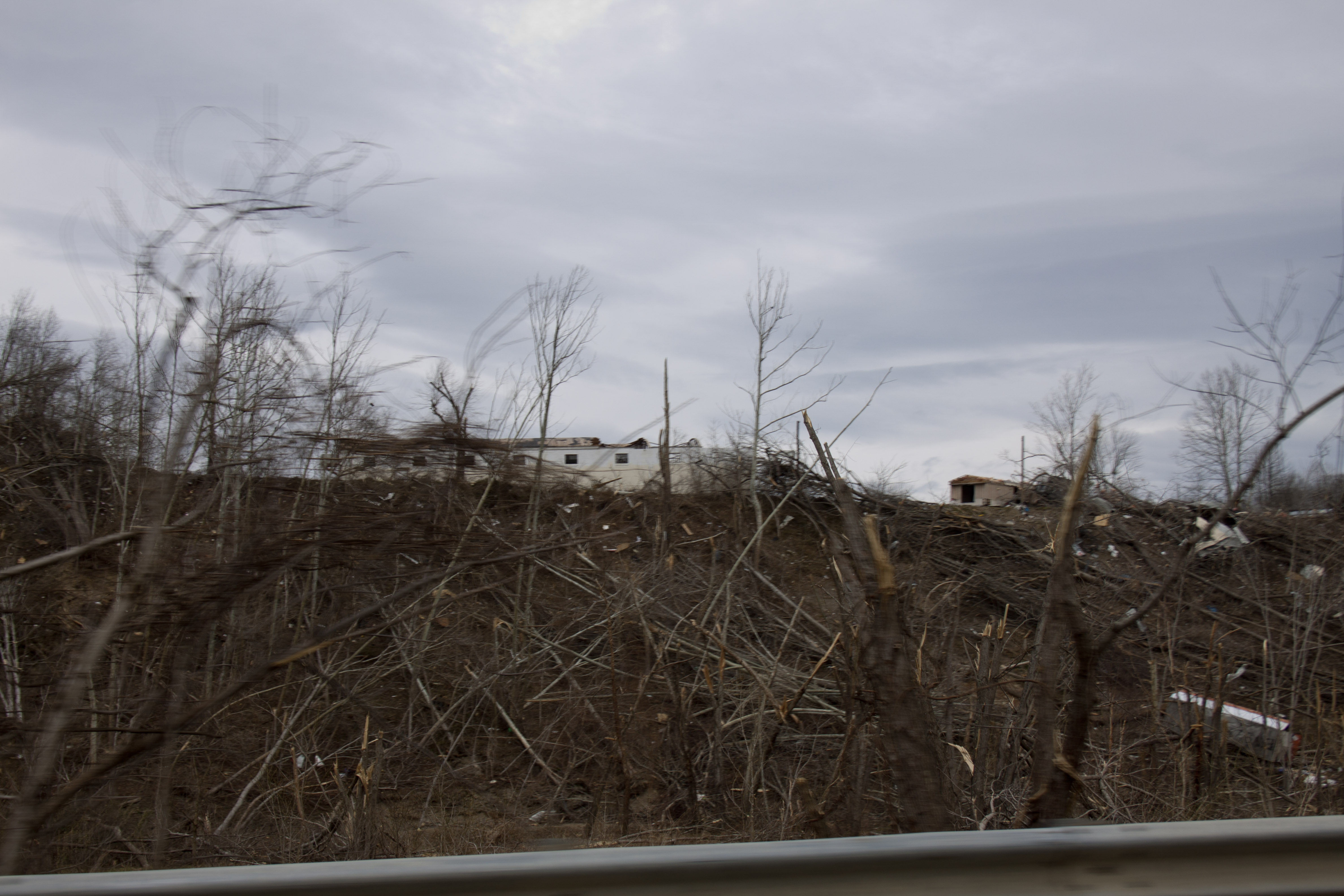
Salyersville KY Tornado-32
Dawkins Line - MP 17.6 (approx.) -Royalton KY - IMG_4719
Dawkins Line MP 15.0 - Gun Creek Tunnel - South Portal - IMG_4688
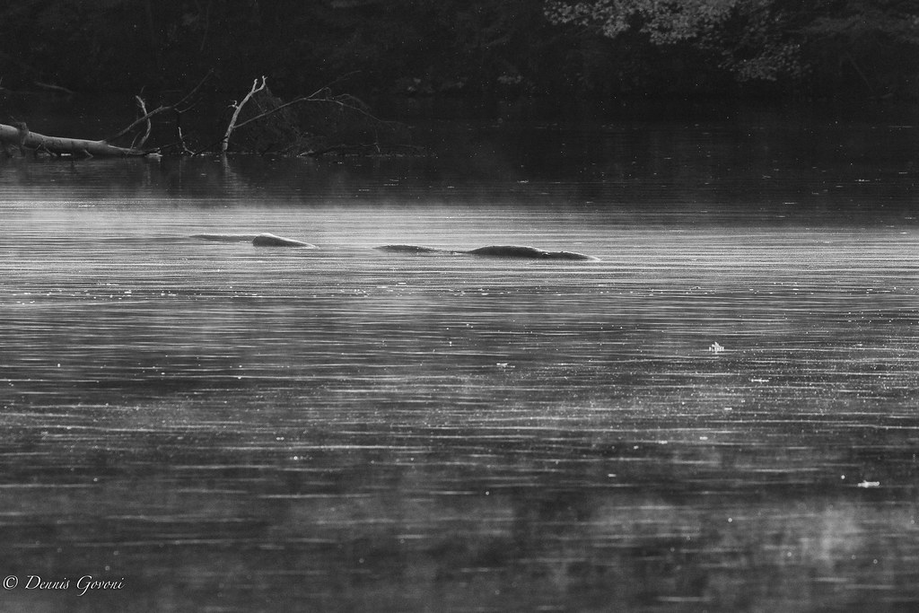
Loch Dewey Monster
Salyersville KY Tornado-11
Topographic Map of Old Middle Creek Rd, Prestonsburg, KY, USA
Find elevation by address:

Places near Old Middle Creek Rd, Prestonsburg, KY, USA:
Jack Arnett Branch, Prestonsburg, KY, USA
Bridge
David
State Hwy, David, KY, USA
164 Cloverfield Branch
Caney Fork Rd, Martin, KY, USA
KY-, David, KY, USA
Jennys Creek
Gunlock
SE Licking River Rd, Salyersville, KY, USA
Gunlock, KY, USA
Prestonsburg
696 Mays Branch Rd
55 Middle Fork Rd, Hagerhill, KY, USA
Johnson County
Kizer Rd, Prestonsburg, KY, USA
Hagerhill
KY-40, Staffordsville, KY, USA
S Lake Dr, Prestonsburg, KY, USA
Jenny Wiley State Park Road
Recent Searches:
- Elevation of Royal Ontario Museum, Queens Park, Toronto, ON M5S 2C6, Canada
- Elevation of Groblershoop, South Africa
- Elevation of Power Generation Enterprises | Industrial Diesel Generators, Oak Ave, Canyon Country, CA, USA
- Elevation of Chesaw Rd, Oroville, WA, USA
- Elevation of N, Mt Pleasant, UT, USA
- Elevation of 6 Rue Jules Ferry, Beausoleil, France
- Elevation of Sattva Horizon, 4JC6+G9P, Vinayak Nagar, Kattigenahalli, Bengaluru, Karnataka, India
- Elevation of Great Brook Sports, Gold Star Hwy, Groton, CT, USA
- Elevation of 10 Mountain Laurels Dr, Nashua, NH, USA
- Elevation of 16 Gilboa Ln, Nashua, NH, USA