Elevation of Jennys Creek, Kentucky, USA
Location: United States > Kentucky > Johnson County > Hagerhill >
Longitude: -82.876470
Latitude: 37.7775223
Elevation: 254m / 833feet
Barometric Pressure: 98KPa
Elevation Map:
Satellite Map:
Related Photos:
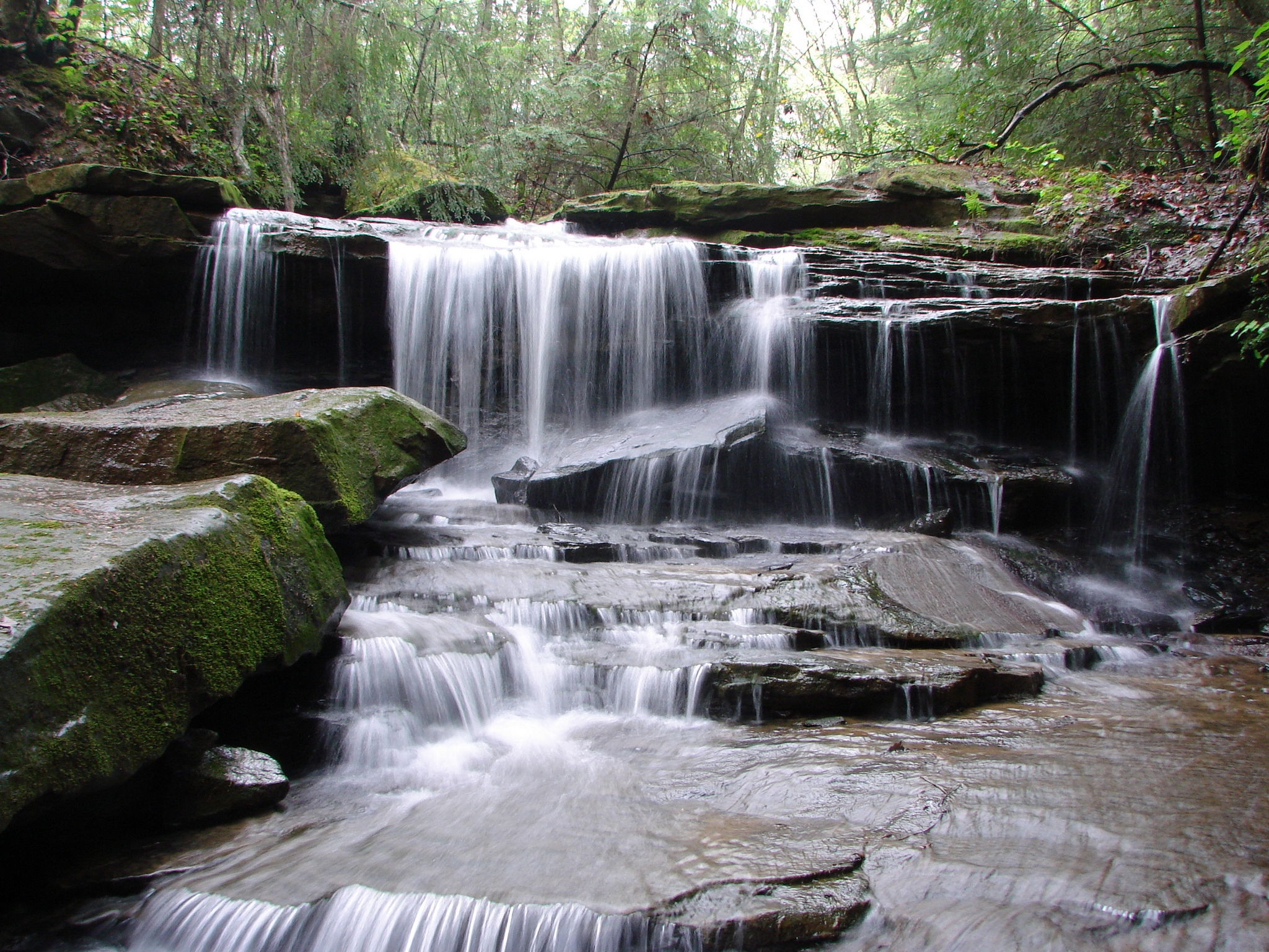
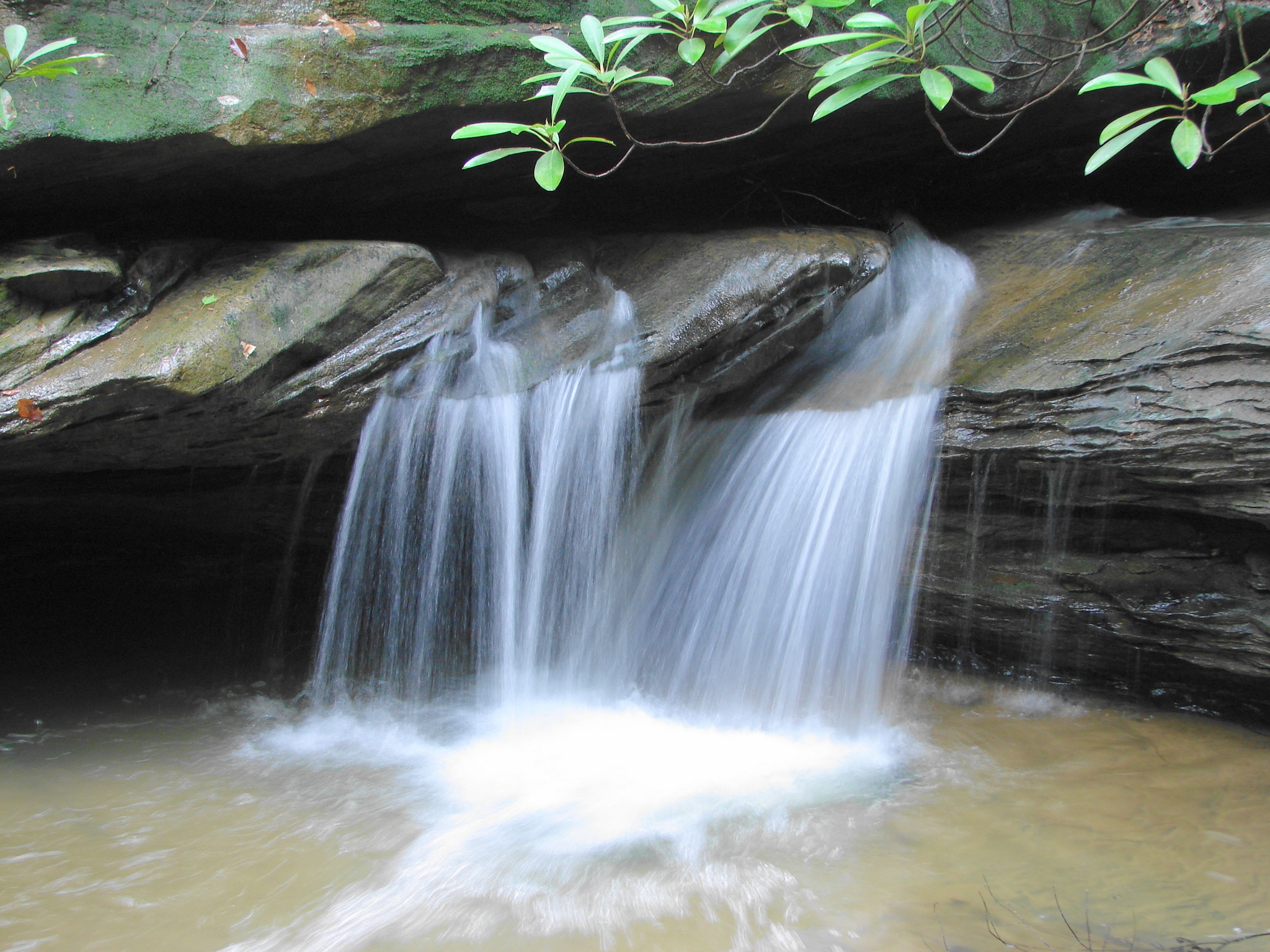
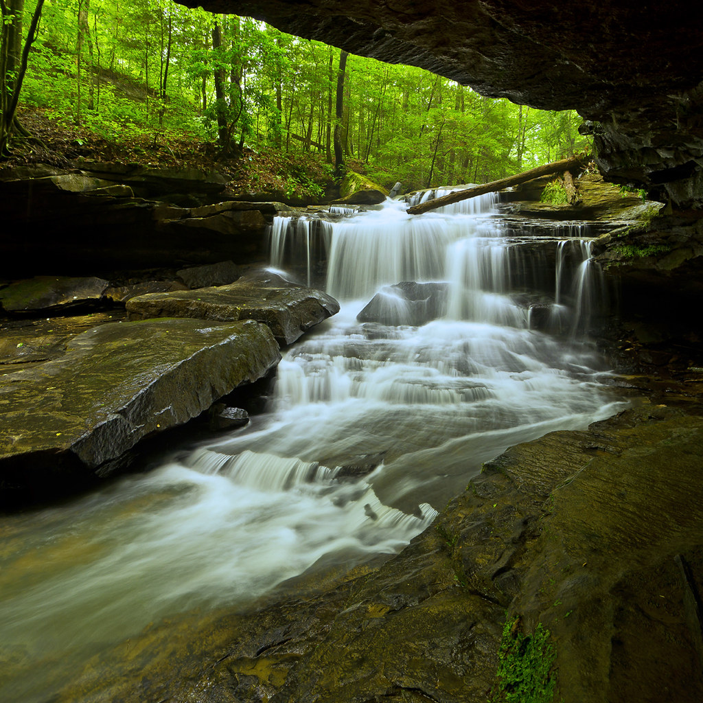
LML Upper Falls 027

Dawkins Line MP 15.0 - Gun Creek Tunnel - South Portal - IMG_4687
Dawkins Line MP 15.0 - Gun Creek Tunnel - South Portal - IMG_4690

Swainson's Warbler (Limnothlypis swainsonii)
IMG_9591_2_3_tonemapped_2-Edit.jpg
IMG_1477_8_9_tonemapped-Edit.jpg
get lazy
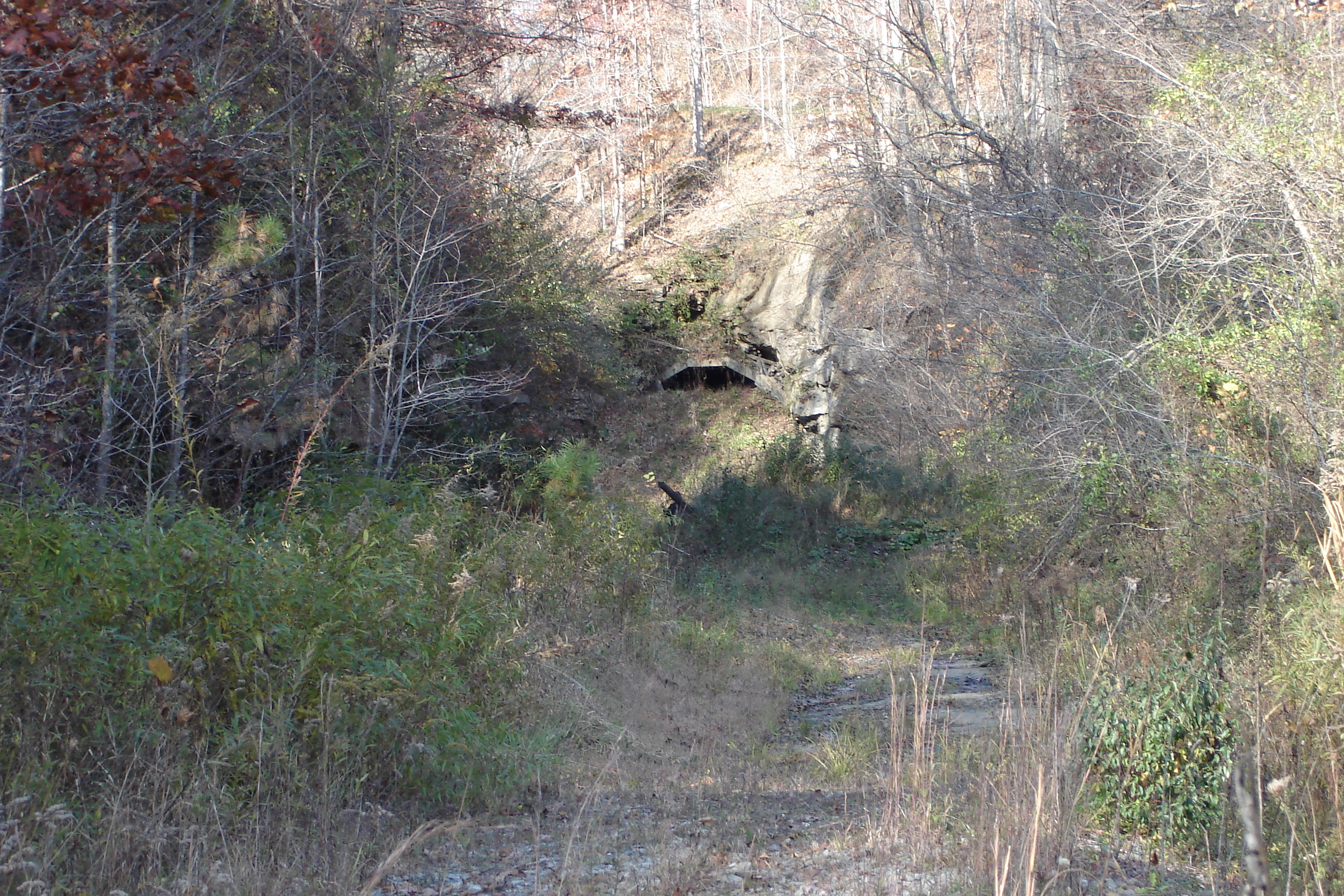
Dawkins Line MP 15.0 - Gun Creek Tunnel - South Portal - DSC00953
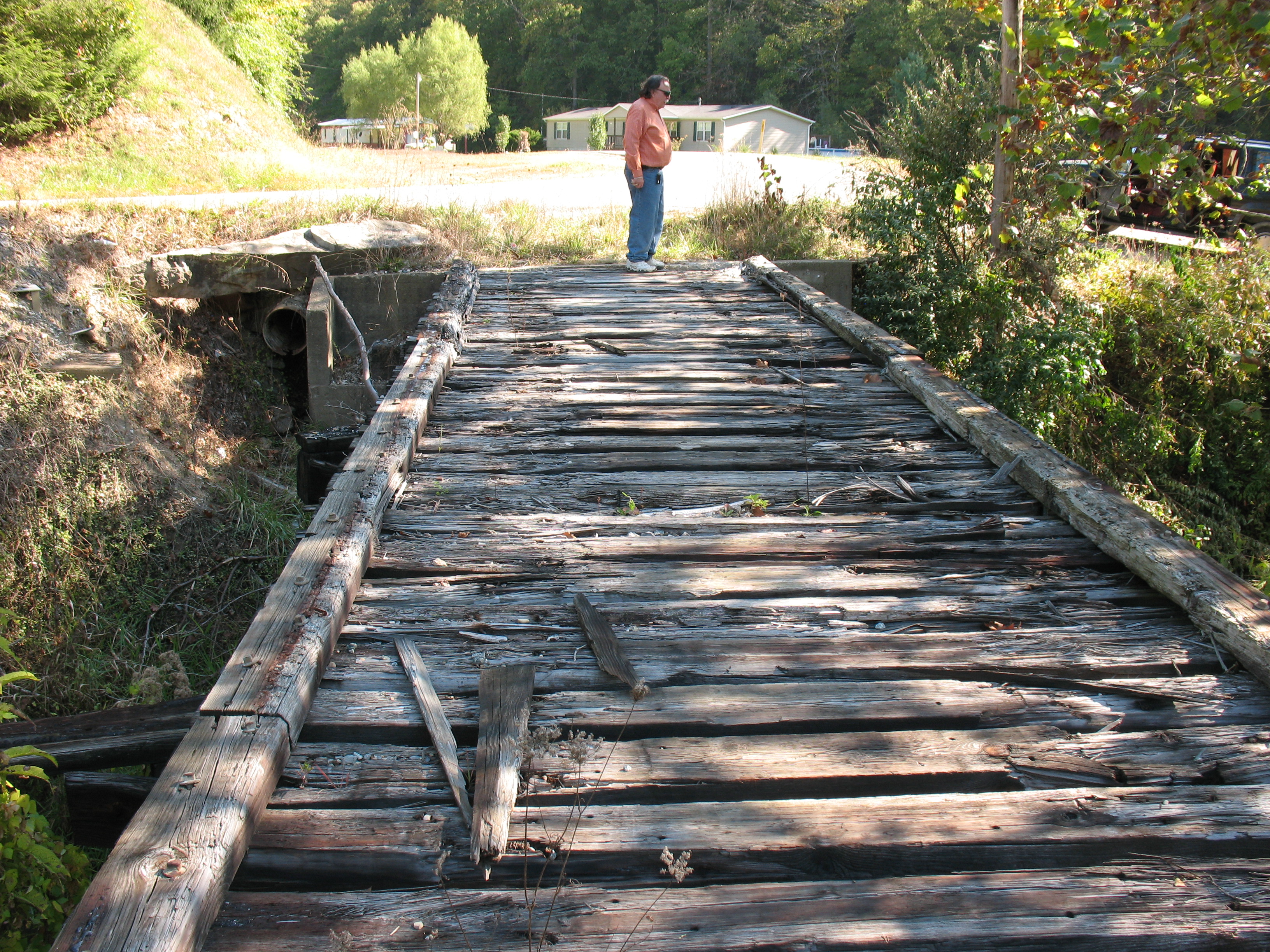
Dawkins Line MP 16.7 - Trestle Over Gun Creek - IMG_3953
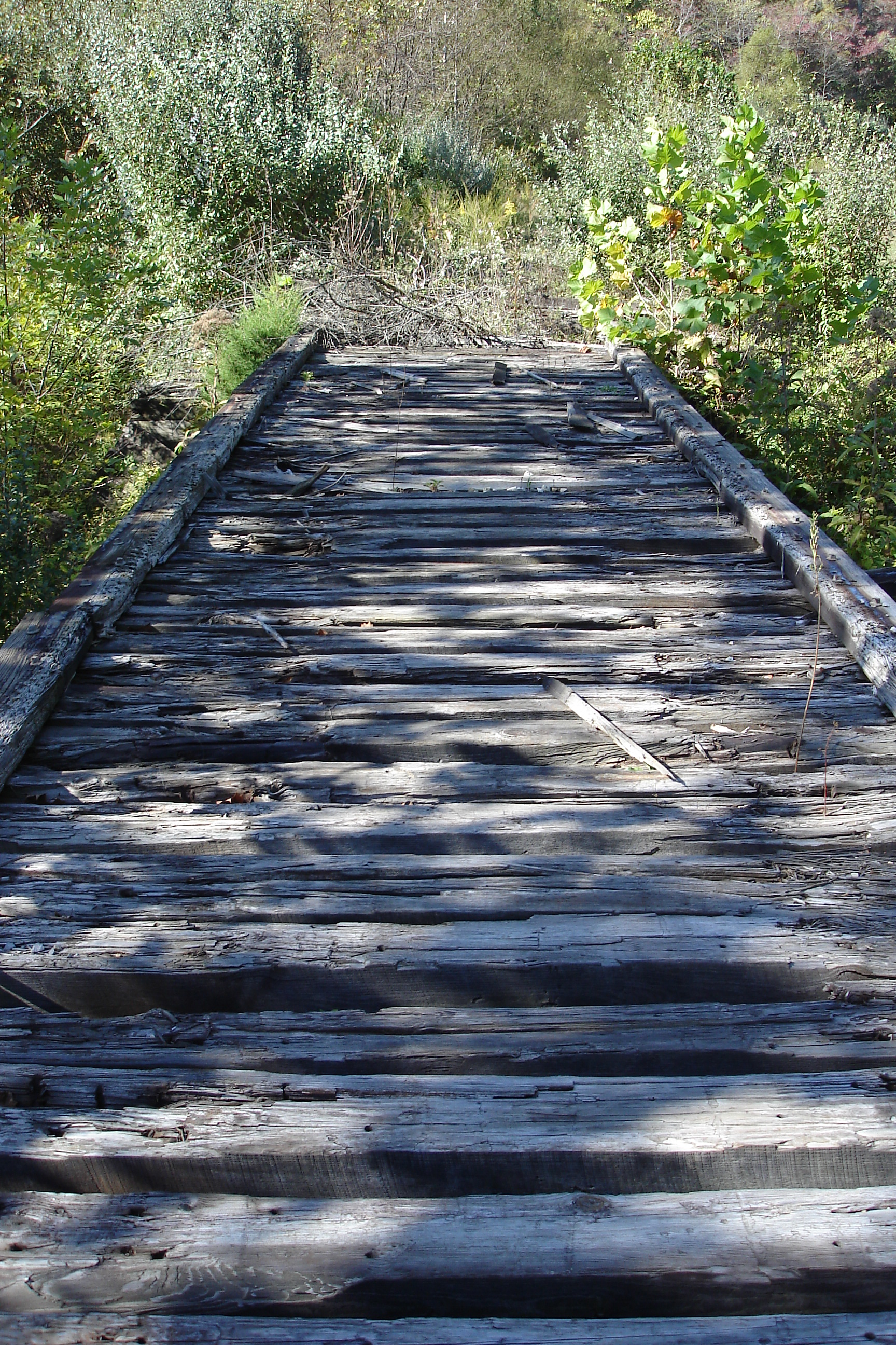
Dawkins Line MP 16.7 - Trestle Over Gun Creek - DSC00615

Dawkins Line MP 14.9 - Gun Creek Tunnel - North Portal - IMG_4685
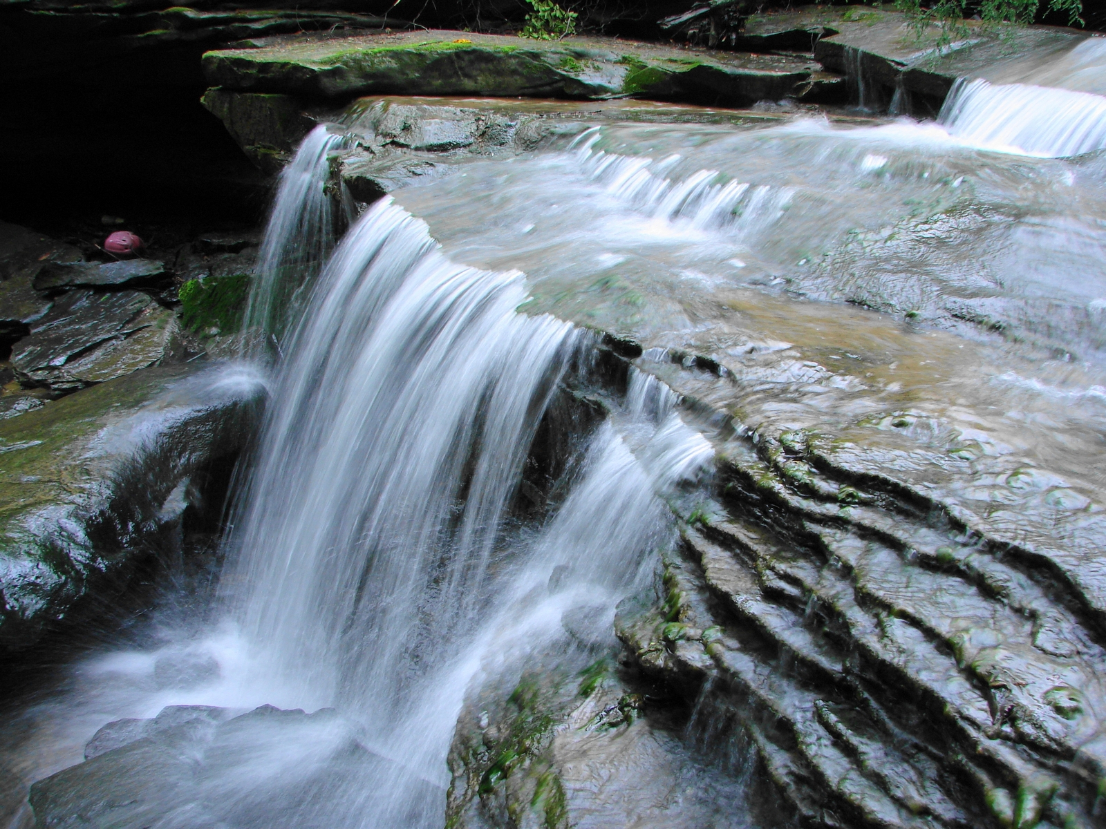
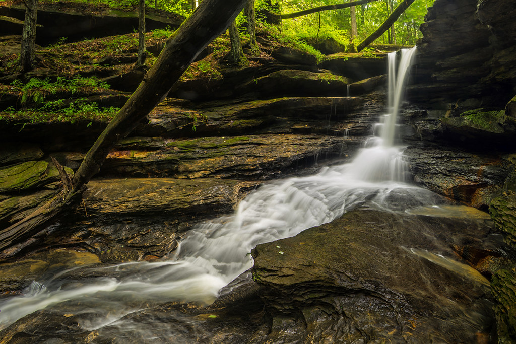
LML Falls 046
LML Upper Falls 011
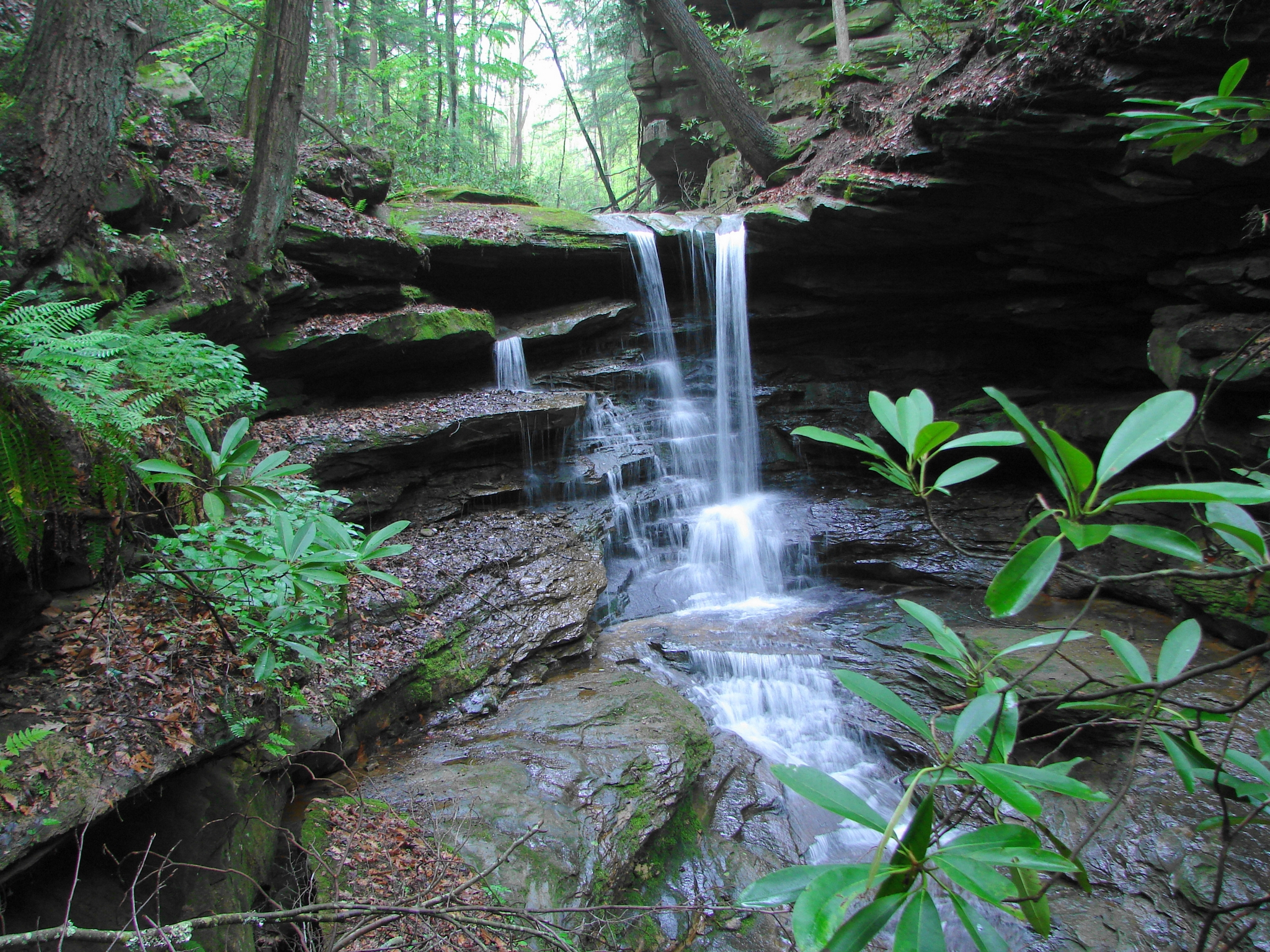
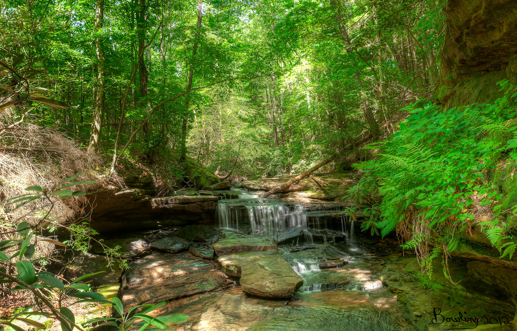
Little Mudlick Creek - Lower Falls

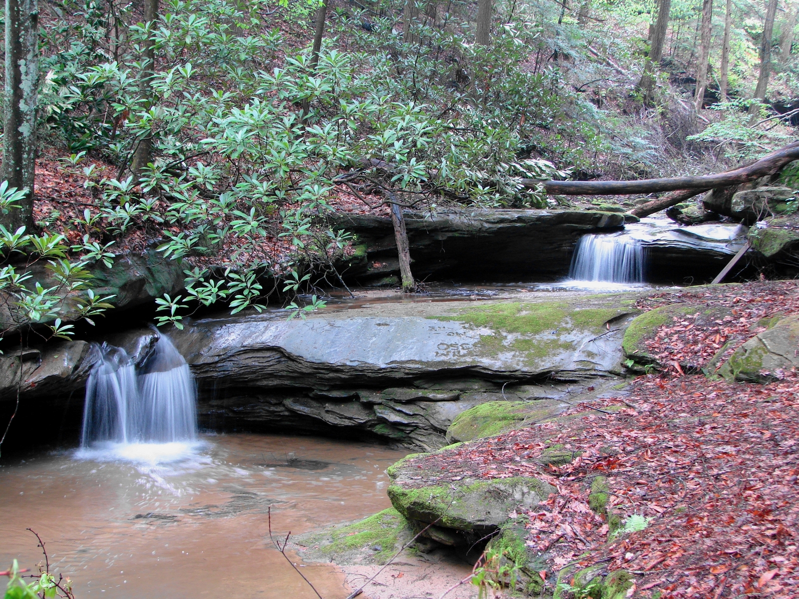
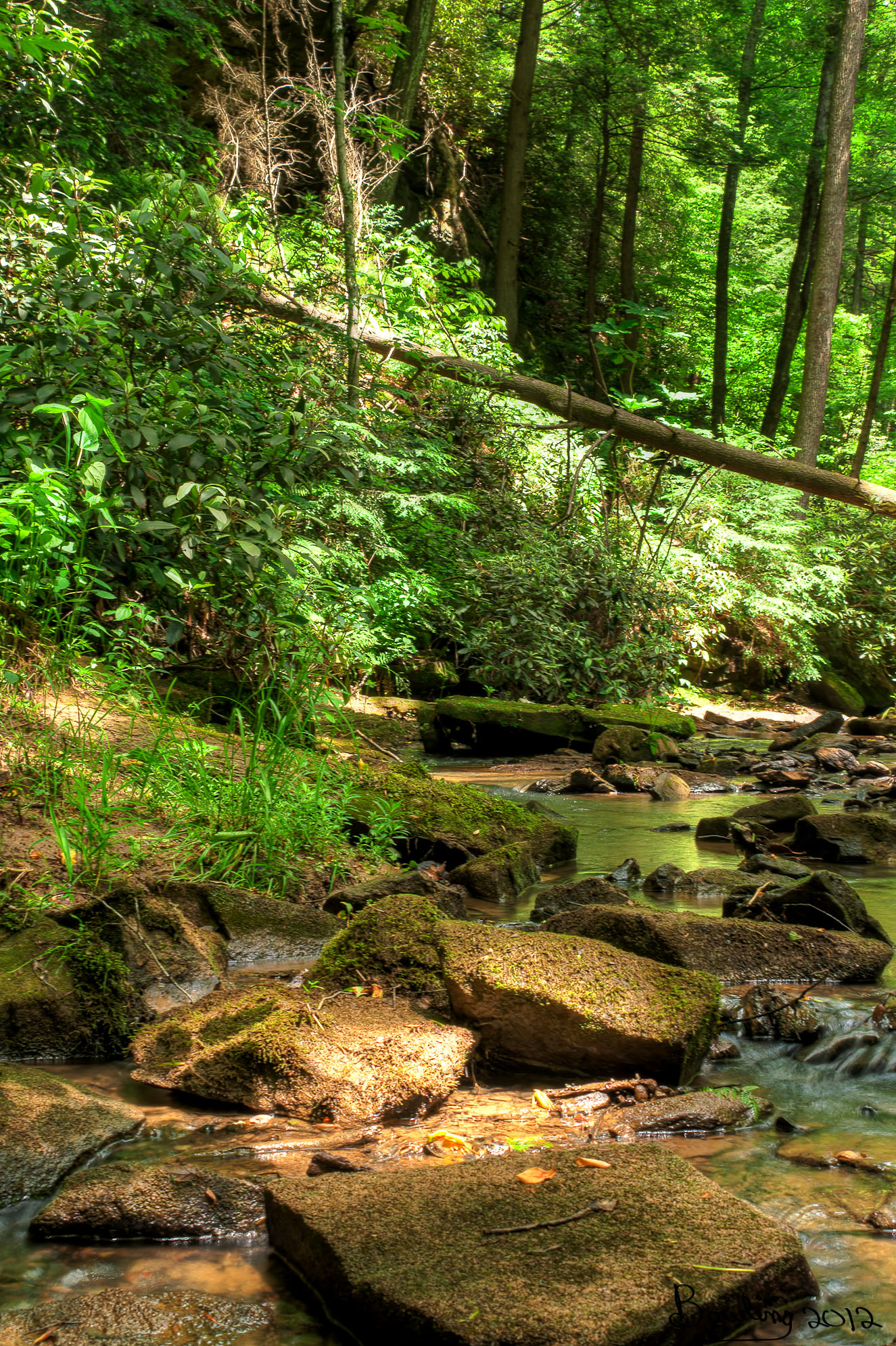
Little Mud Lick 014
LML Middle Falls 048
Upper Mud Lick Falls in Johnson County, KY
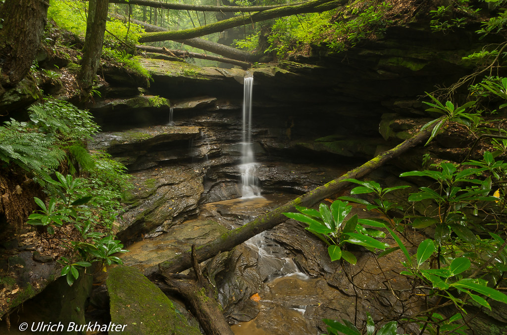
Lower Mud Lick Falls
20120520- Little Mudlick - KY
Mud Lick falls.
20120520- Little Mudlick - KY
an inside job
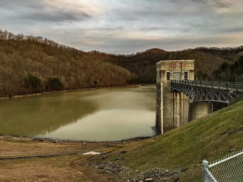
Dewey Dam
Dawkins Trail Line - MP 14.0 - Gun Creek Tunnel - DSC01161
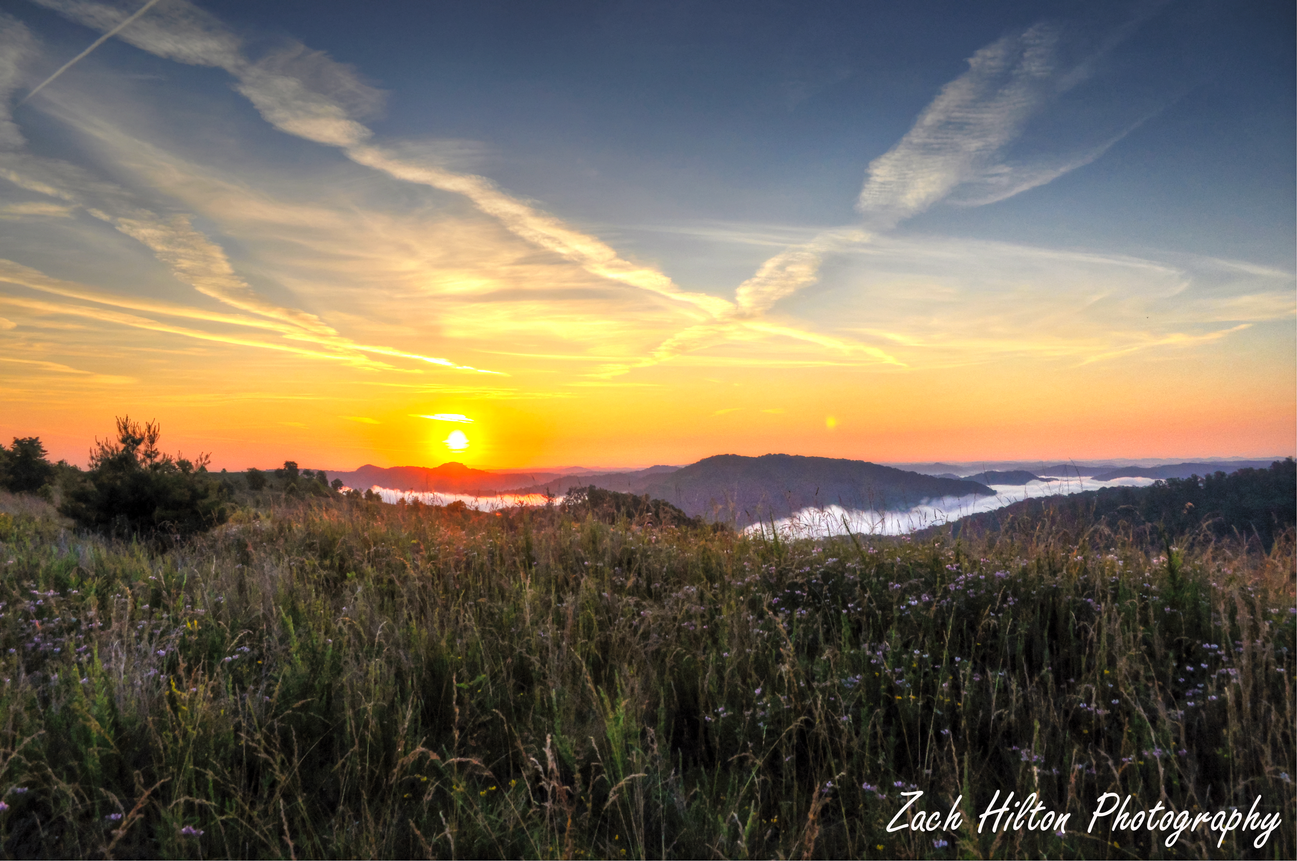
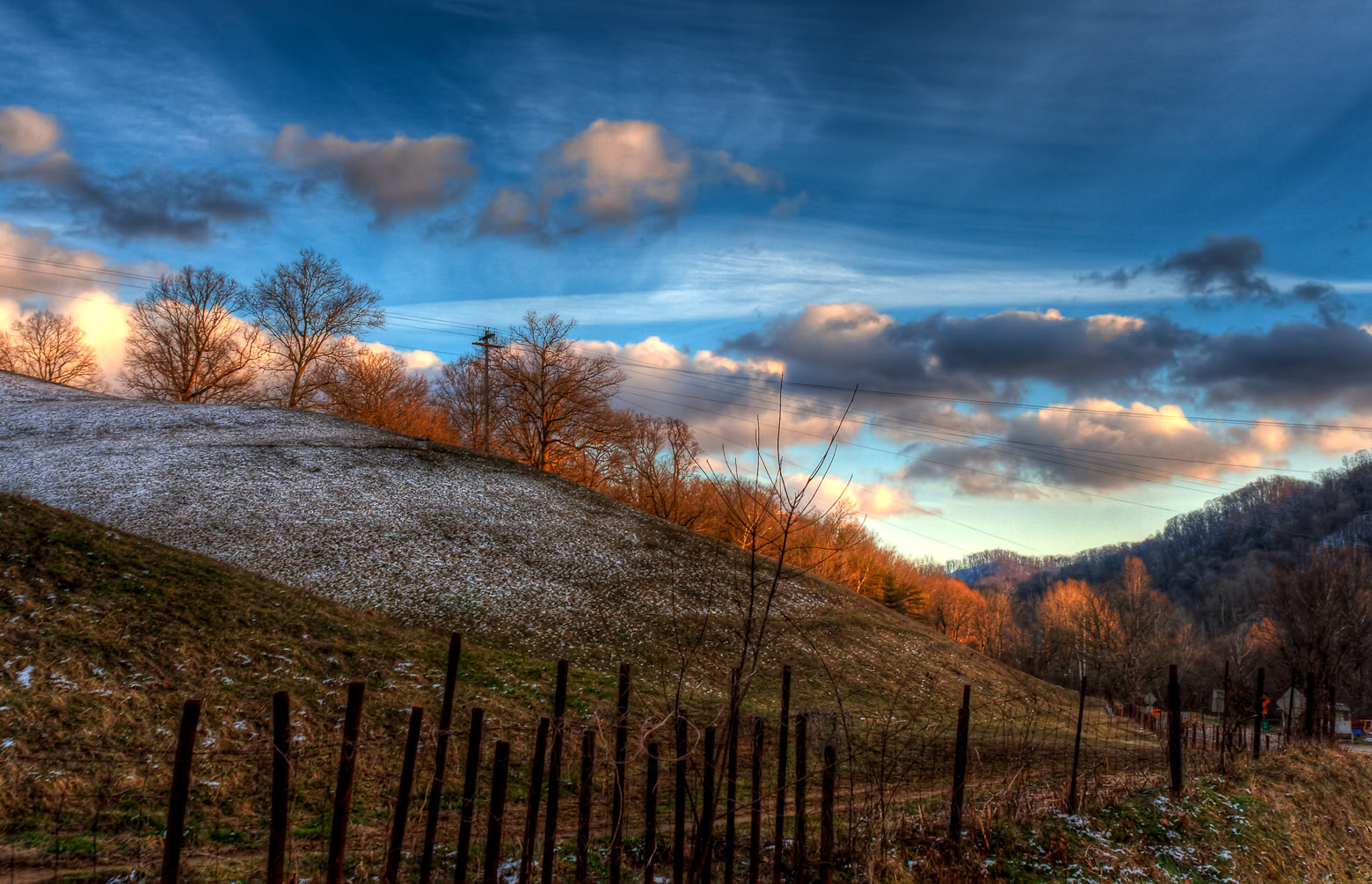
Mountain Sunrise
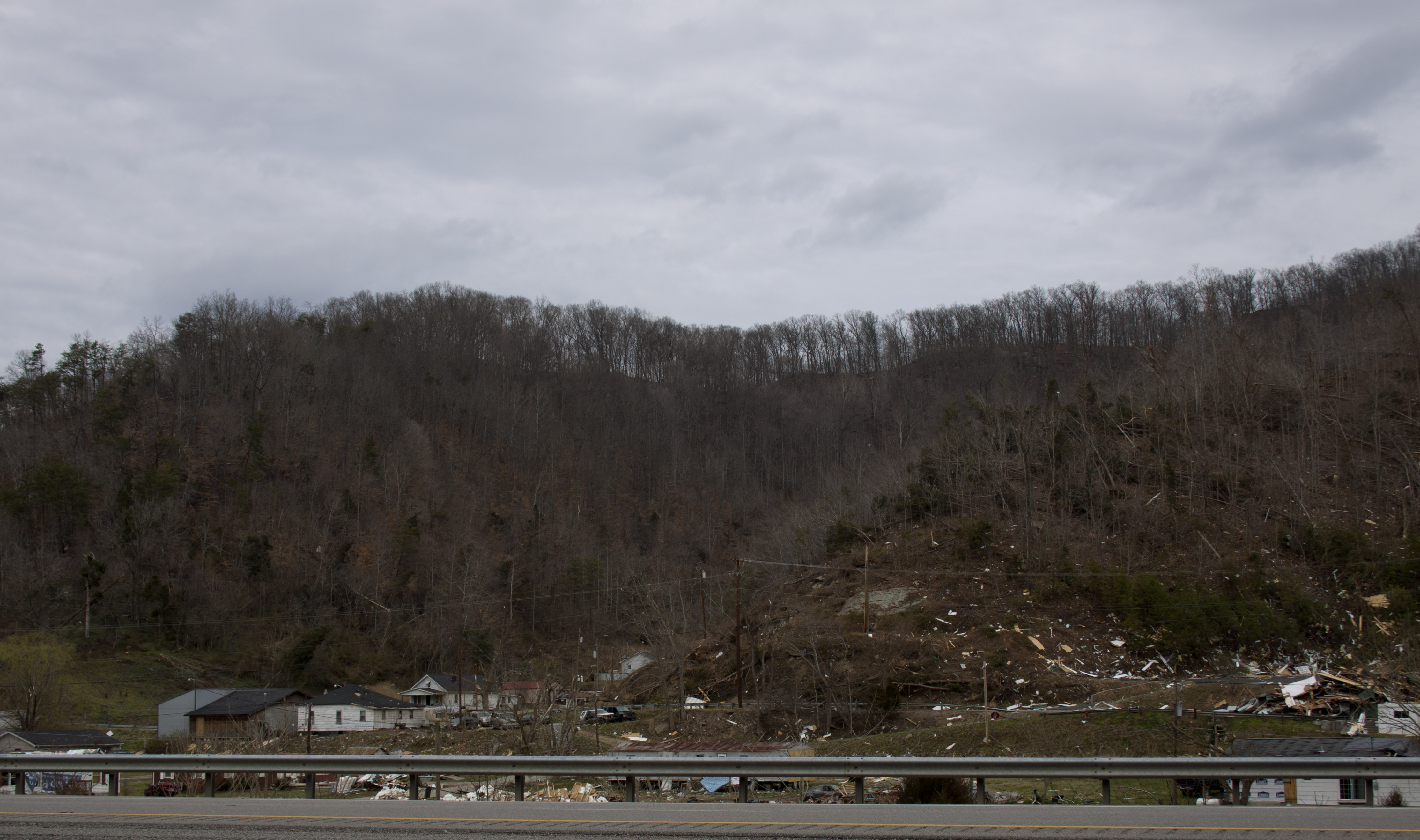
Salyersville KY Tornado-32
010-b

Butcher Hollow
coal leaves

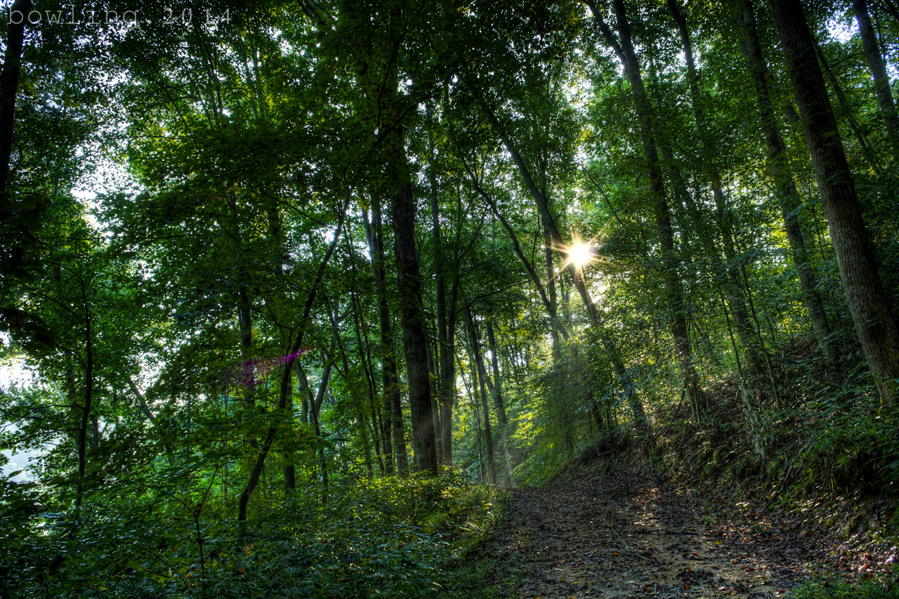
Rainy, foggy trail hike
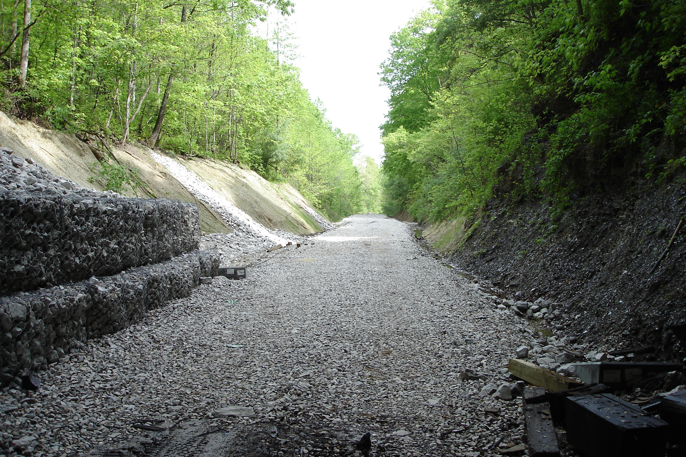
Dawkins Line MP 0.4 - Hagerhill - DSC00942
Topographic Map of Jennys Creek, Kentucky, USA
Find elevation by address:

Places near Jennys Creek, Kentucky, USA:
Johnson County
KY-40, Staffordsville, KY, USA
55 Middle Fork Rd, Hagerhill, KY, USA
103 E Dorton Blvd
Staffordsville
Paintsville
Hagerhill
N Dawkins Ave, Hagerhill, KY, USA
Lyons Ave, Paintsville, KY, USA
Bridge
Webb Hollow Rd, Van Lear, KY, USA
Sitka
72 Combs Dr, Paintsville, KY, USA
Old Middle Creek Rd, Prestonsburg, KY, USA
80 Riverdale Dr, Thelma, KY, USA
Thelma
Tutor Key Rd, Tutor Key, KY, USA
Tutor Key
Jack Arnett Branch, Prestonsburg, KY, USA
KY-, Sitka, KY, USA
Recent Searches:
- Elevation of Gateway Blvd SE, Canton, OH, USA
- Elevation of East W.T. Harris Boulevard, E W.T. Harris Blvd, Charlotte, NC, USA
- Elevation of West Sugar Creek, Charlotte, NC, USA
- Elevation of Wayland, NY, USA
- Elevation of Steadfast Ct, Daphne, AL, USA
- Elevation of Lagasgasan, X+CQH, Tiaong, Quezon, Philippines
- Elevation of Rojo Ct, Atascadero, CA, USA
- Elevation of Flagstaff Drive, Flagstaff Dr, North Carolina, USA
- Elevation of Avery Ln, Lakeland, FL, USA
- Elevation of Woolwine, VA, USA