Elevation of Old Greenwood Rd, Greenwood, CA, USA
Location: United States > California > El Dorado County > Greenwood >
Longitude: -120.88472
Latitude: 38.875732
Elevation: 553m / 1814feet
Barometric Pressure: 95KPa
Elevation Map:
Satellite Map:
Related Photos:
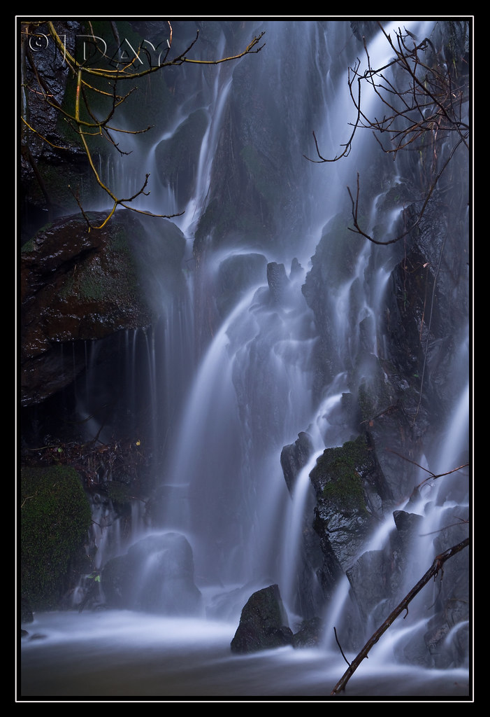
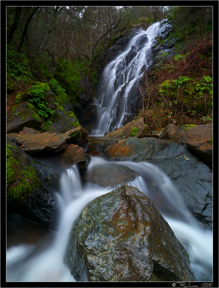
Grotto of the Falls
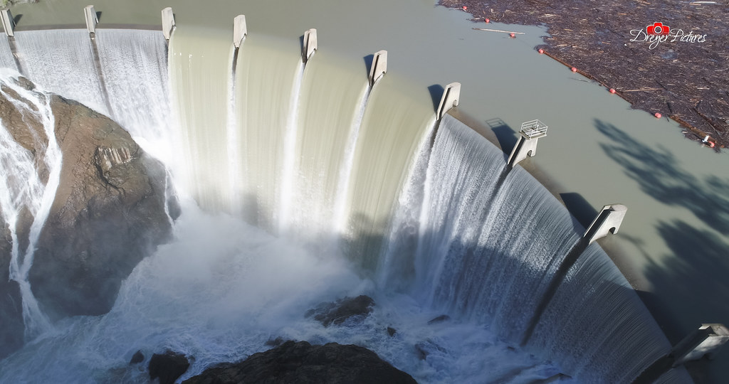
Clementine Dam - California

Road to the Clouds
Dark Thunderclouds

Thunderclouds Over the Crest
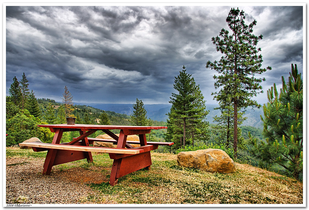
Before the Rain
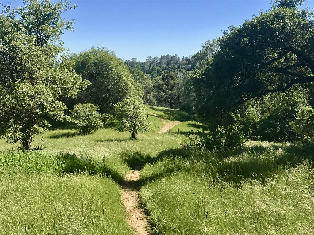
Trail View
Full Sized Moon and Story 6479
Green. Blue. Good book. Good view. Perfect weather. #california #sunshine #view #peace #quiet

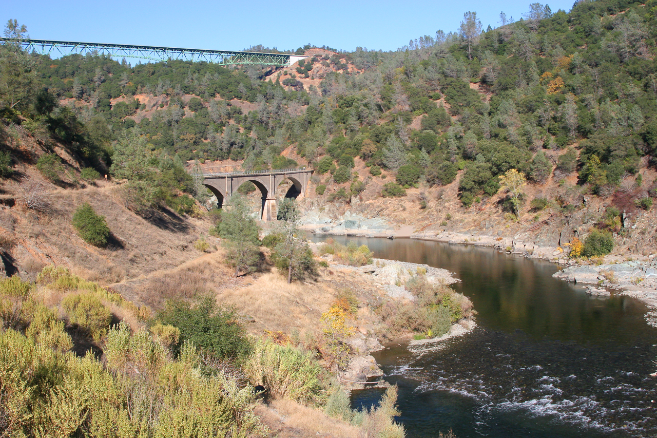
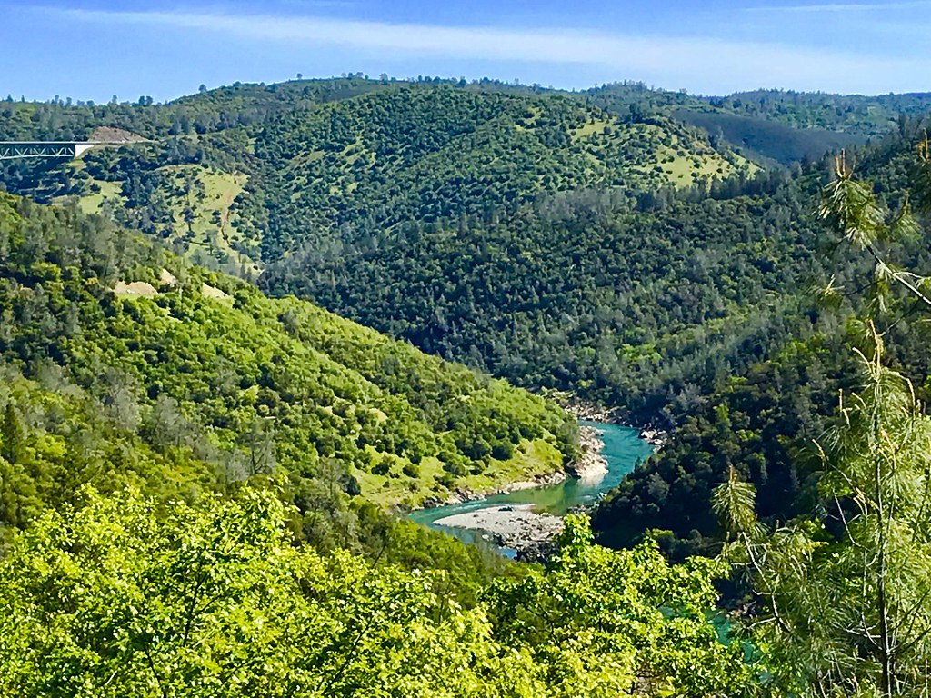
North Fork American River

Stalked by a Mountain Lion
Upstream View
Canyon View Preserve
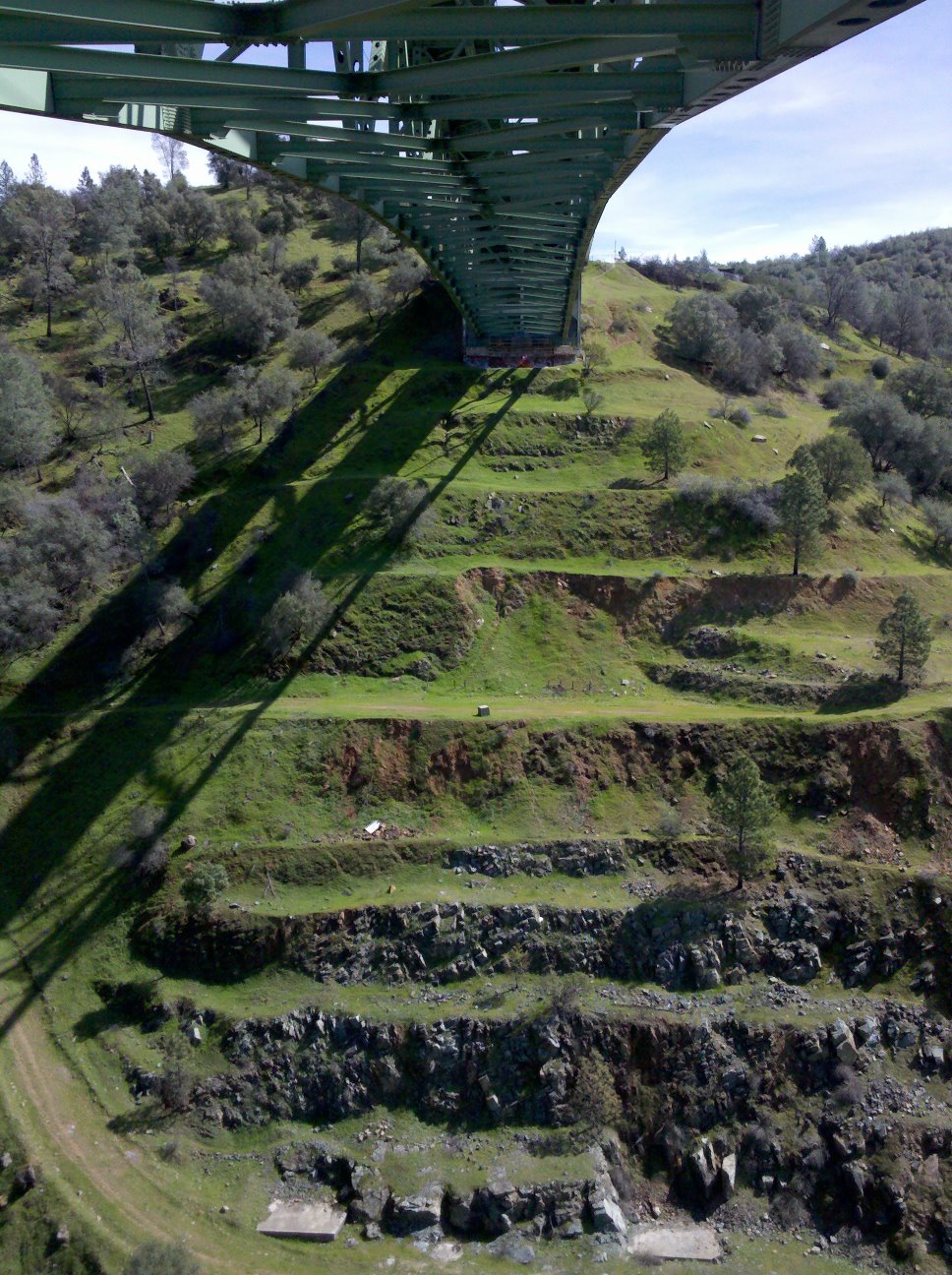
View towards east abutment
North Fork of American River

Couple-2059
Scenes from Placer County
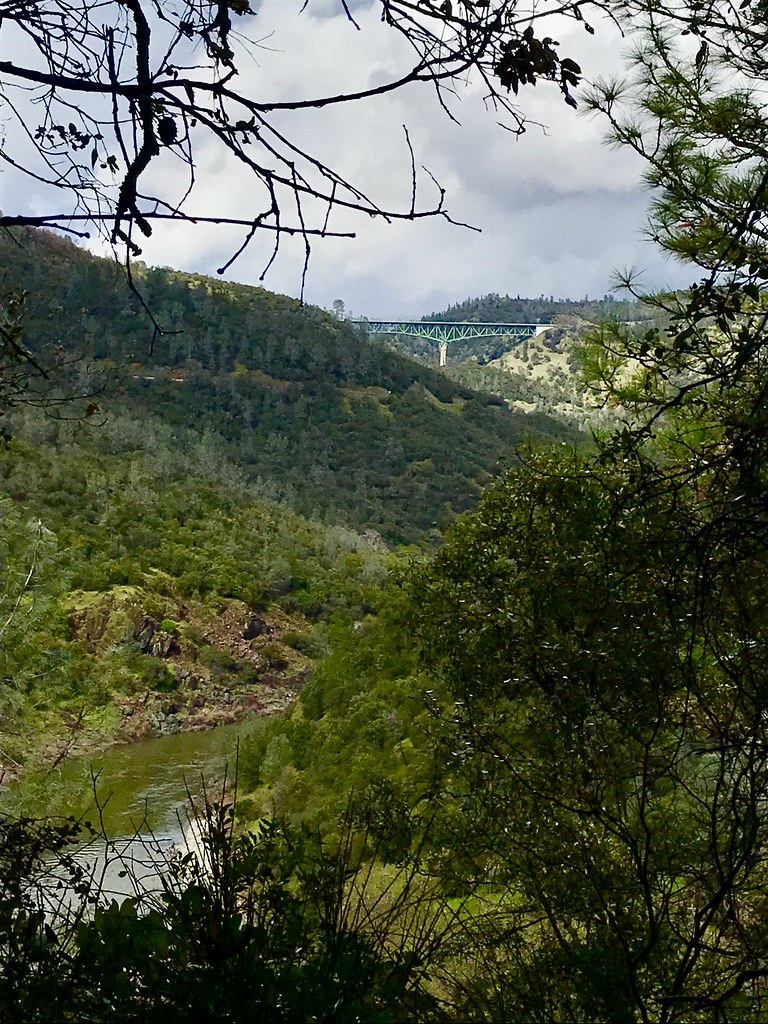
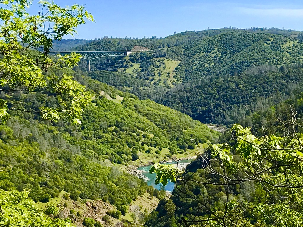
Two Famous Bridges 0935
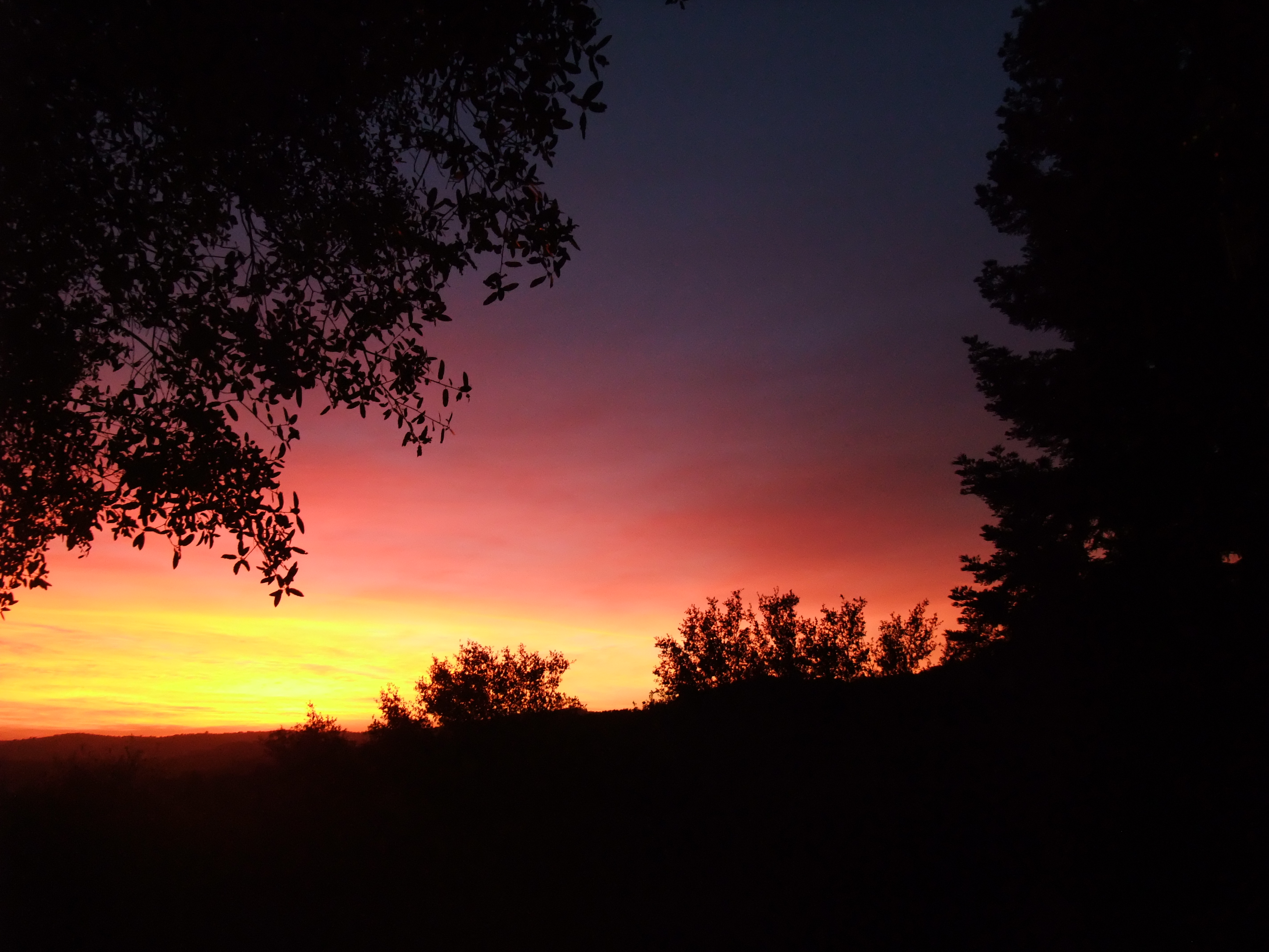
tri-color sky
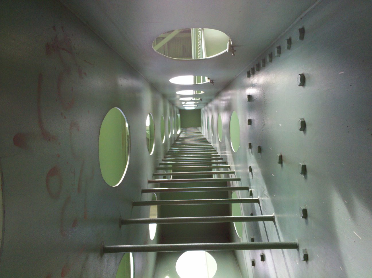
view up ladder
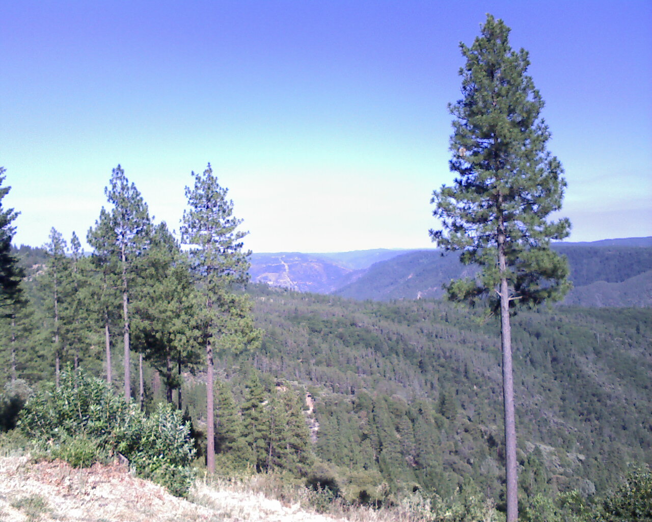
From Foresthill on my ride
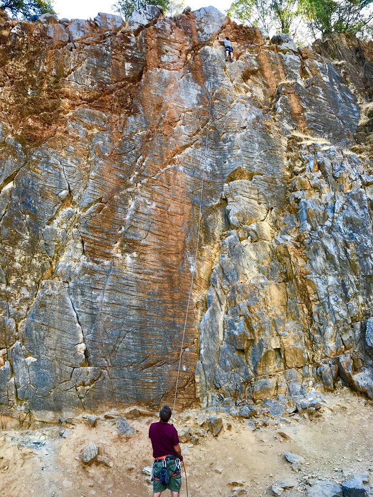
On Belay
Black Hole of Calcutta

Blue Breakthrough

Around the Bend
River Glimpse
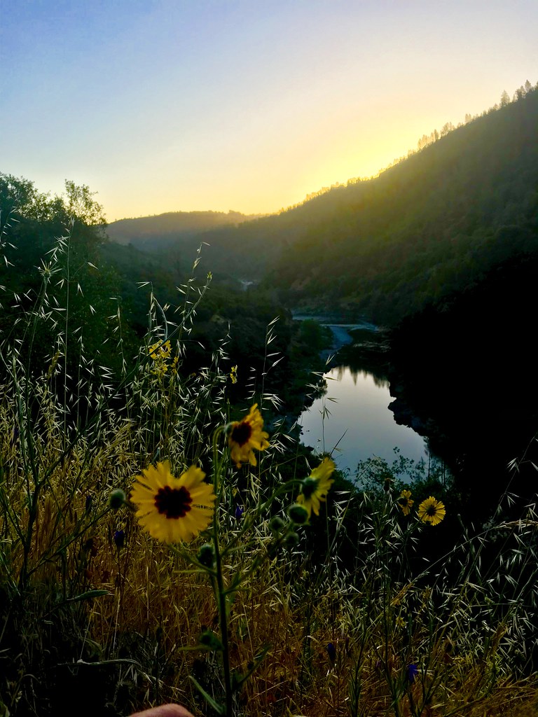
Sunrise on the American
Not Under Water . . . Thankfully!
Forty Acres and a Mule
Climbing out

Faces to the Sun

Along the Western States Trail
Uphill Conversation
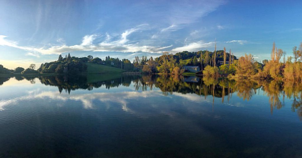
Sometimes you get off the bike and take a hike around the lake... #lakeview #california #perfectday #hiking #trails #homestate #hearthealth #cardio #hikecalifornia #sunshine #peace #quiet #reflection

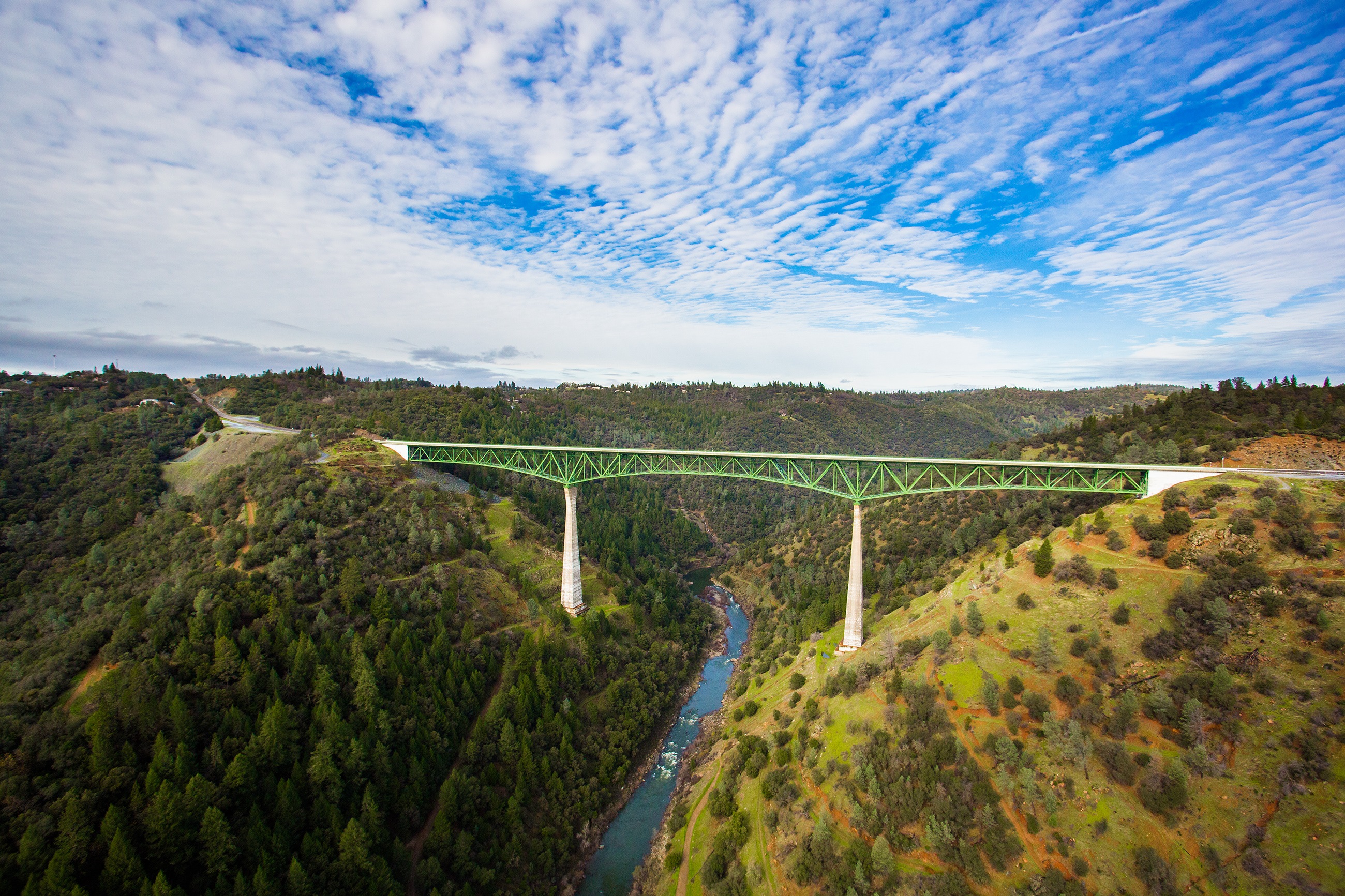
Foresthill Bridge

Clark's Hole
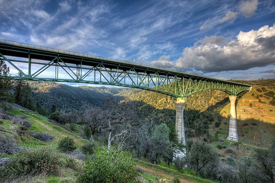
Forresthill Bridge
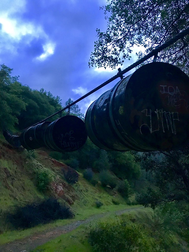
Barrels on the Trail
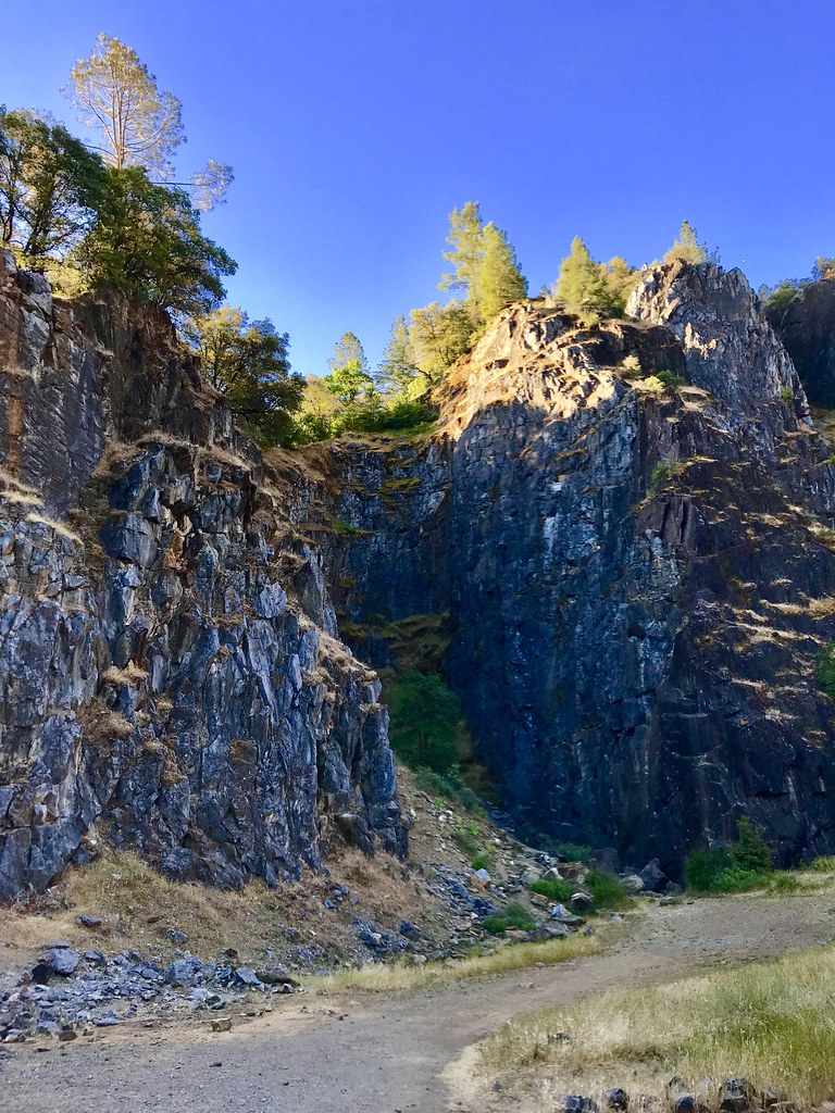
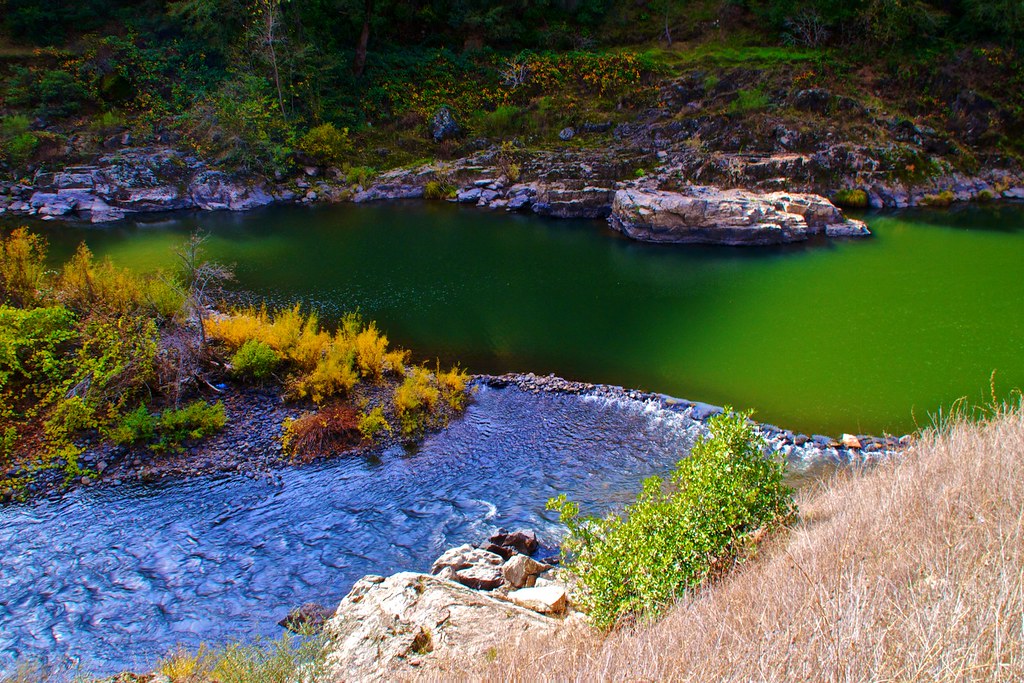
The Quarry
Topographic Map of Old Greenwood Rd, Greenwood, CA, USA
Find elevation by address:

Places near Old Greenwood Rd, Greenwood, CA, USA:
3611 Dagget Ct
3950 Jacobus Dr
5220 Lone Jack Ln
5225 Ca-193
4411 Ca-193
Garden Valley
Rd, Greenwood, CA, USA
Marshall Rd, Garden Valley, CA, USA
4541 Mont Eaton Mine Rd
Greenwood
4000 Marshall Rd
3031 Lasita Pl
Courageous Road
2681 Buffalo Hill Rd
6245 Aerodrome Way
3040 Rolling Hills Dr
Rolling Hills Drive
6000 Lower Main St
3020 Rolling Hills Dr
CA-, Georgetown, CA, USA
Recent Searches:
- Elevation of Congressional Dr, Stevensville, MD, USA
- Elevation of Bellview Rd, McLean, VA, USA
- Elevation of Stage Island Rd, Chatham, MA, USA
- Elevation of Shibuya Scramble Crossing, 21 Udagawacho, Shibuya City, Tokyo -, Japan
- Elevation of Jadagoniai, Kaunas District Municipality, Lithuania
- Elevation of Pagonija rock, Kranto 7-oji g. 8"N, Kaunas, Lithuania
- Elevation of Co Rd 87, Jamestown, CO, USA
- Elevation of Tenjo, Cundinamarca, Colombia
- Elevation of Côte-des-Neiges, Montreal, QC H4A 3J6, Canada
- Elevation of Bobcat Dr, Helena, MT, USA