Elevation of Marshall Rd, Garden Valley, CA, USA
Location: United States > California > El Dorado County > Garden Valley >
Longitude: -120.85802
Latitude: 38.854082
Elevation: 595m / 1952feet
Barometric Pressure: 94KPa
Elevation Map:
Satellite Map:
Related Photos:
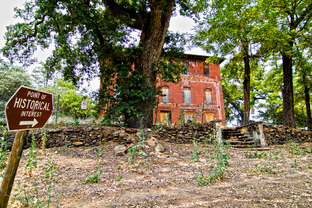
The Old Bayley House 2674
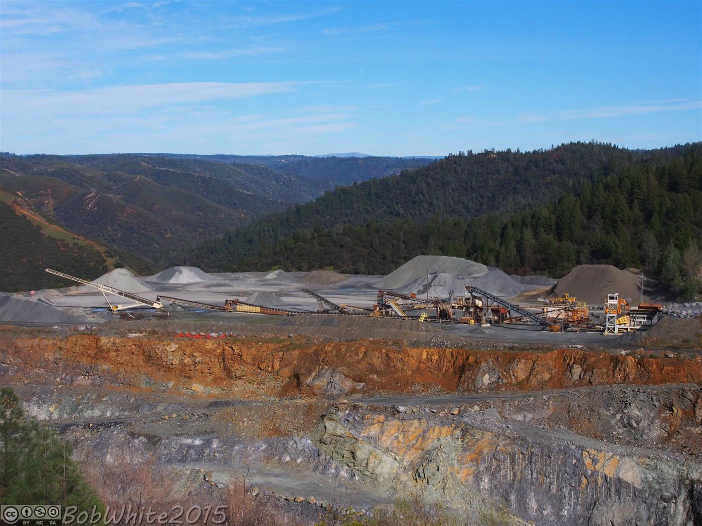
Cool Cave Diggins

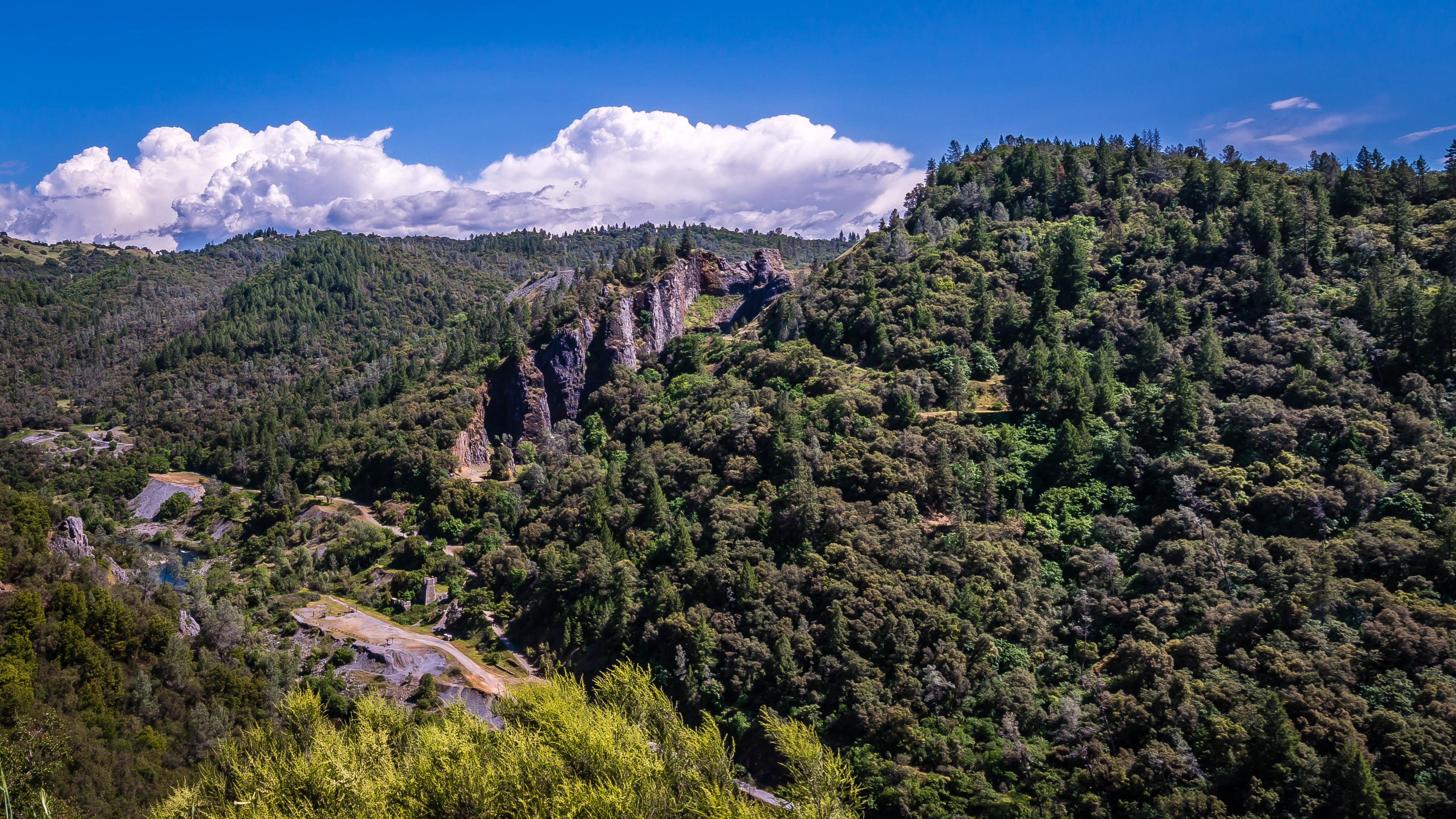
Thunderclouds Over the Crest
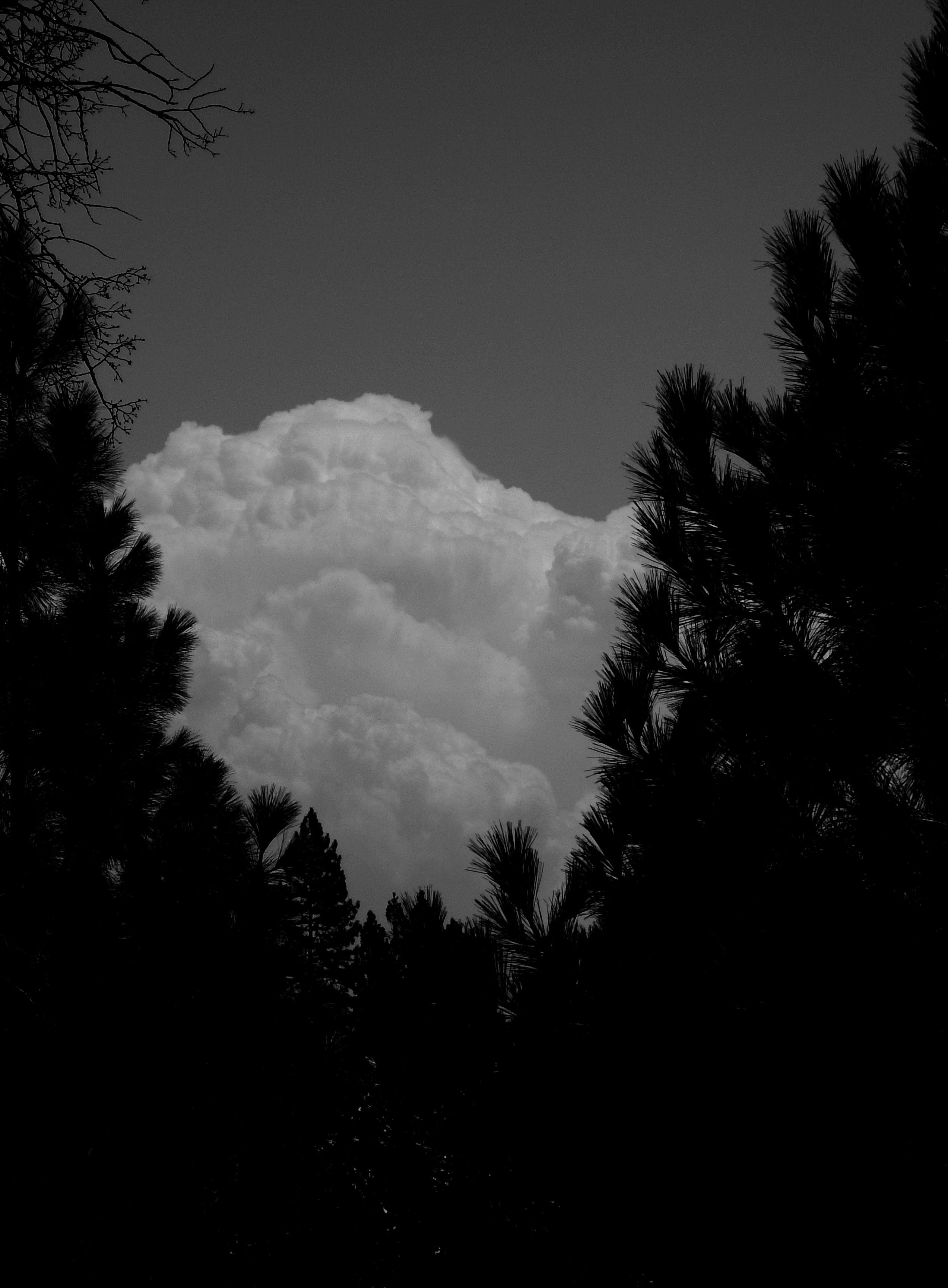
Dark Thunderclouds
Auburn 32-mile Hike

Road to the Clouds
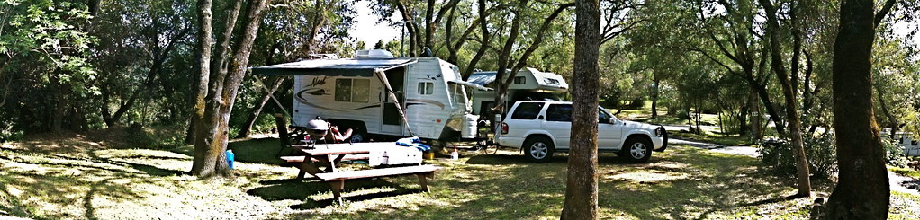
RV Camping..
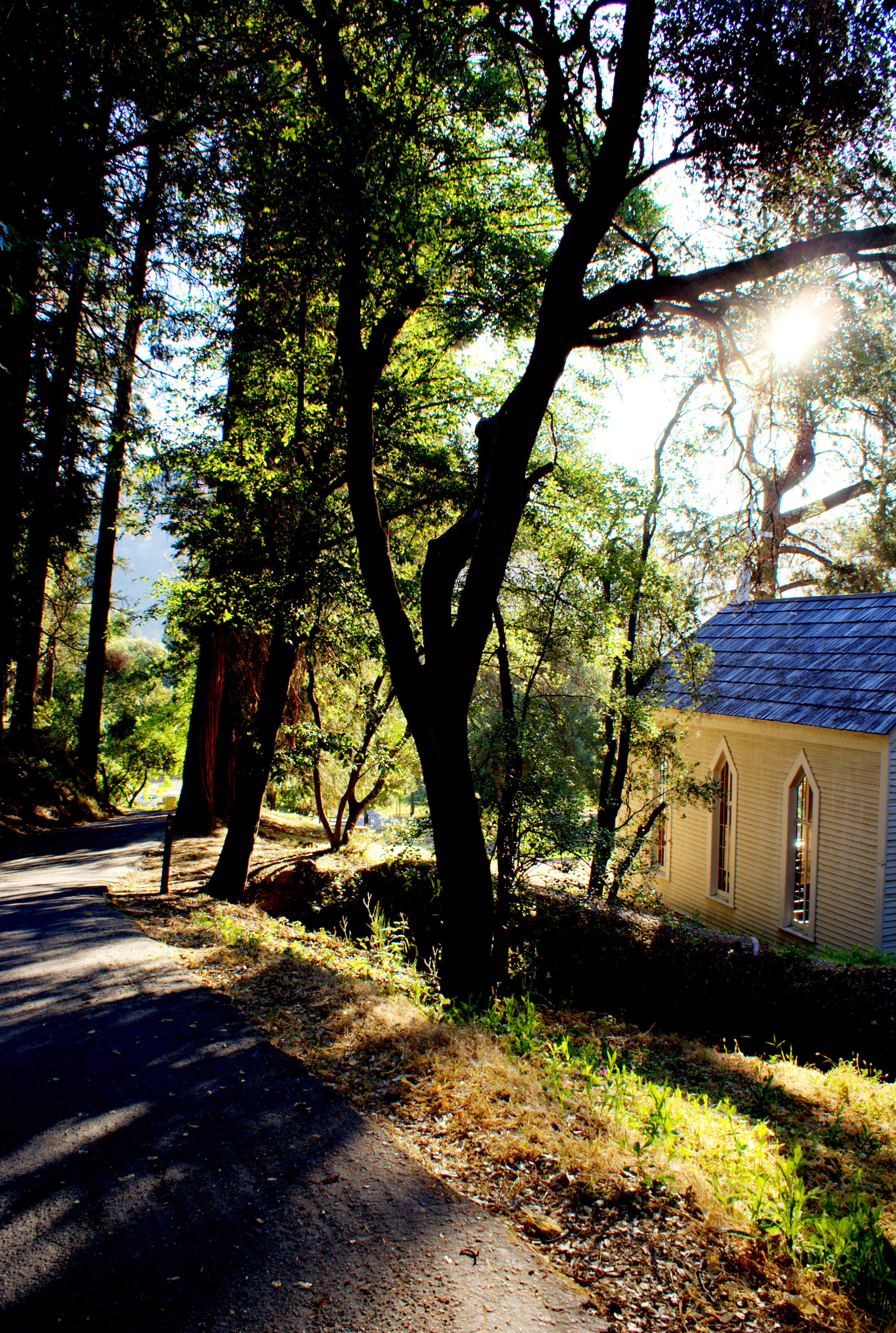
Morning Services

Early Morning
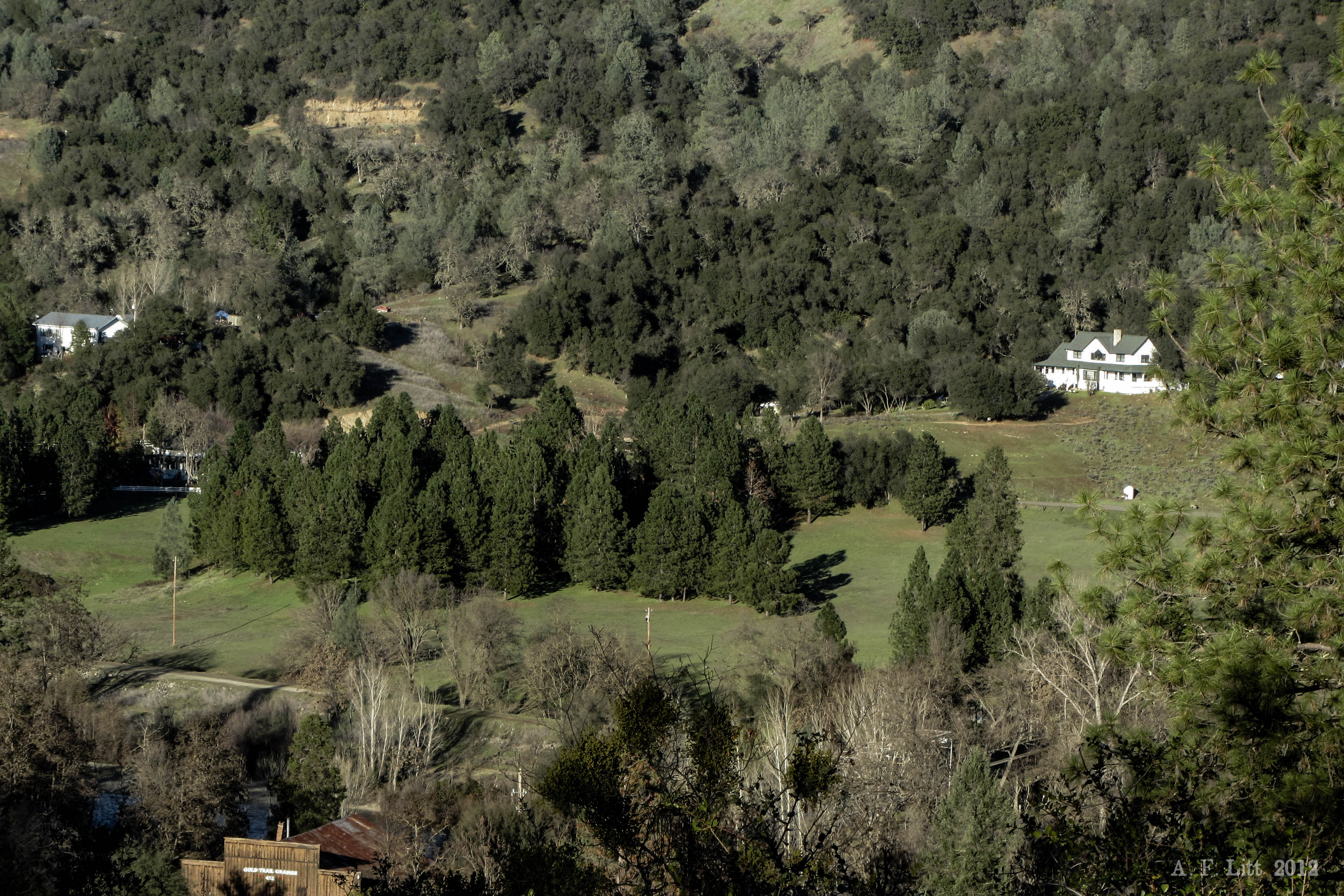
Cronan Ranch House view out
tri-color sky
Lake Clementine and Lime Rock; March 2007
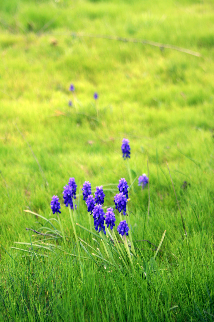
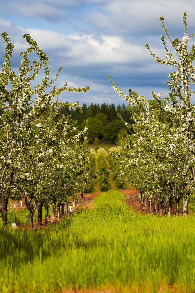
Pear Blossom spring
This place is a Thomas Kincaid Disney wedging cake vineyard with music coming out of rocks and plastic flowers galore with awesome views and vineyard
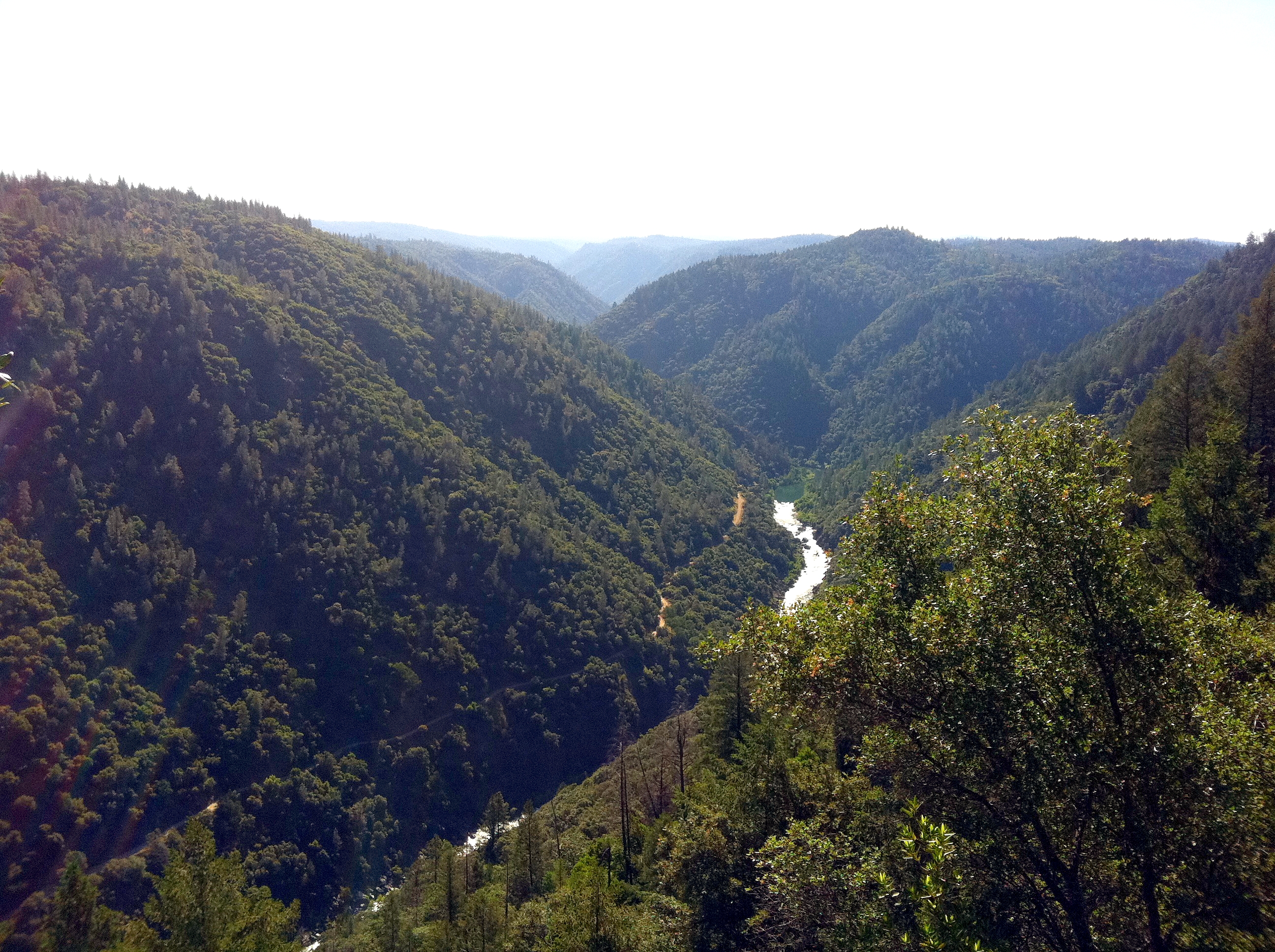
South Fork Panorama
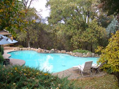
pool view
View from James Marshal Monument. Marshal Gold Discovery State Historic Park. Coloma, California. December 20, 2012.
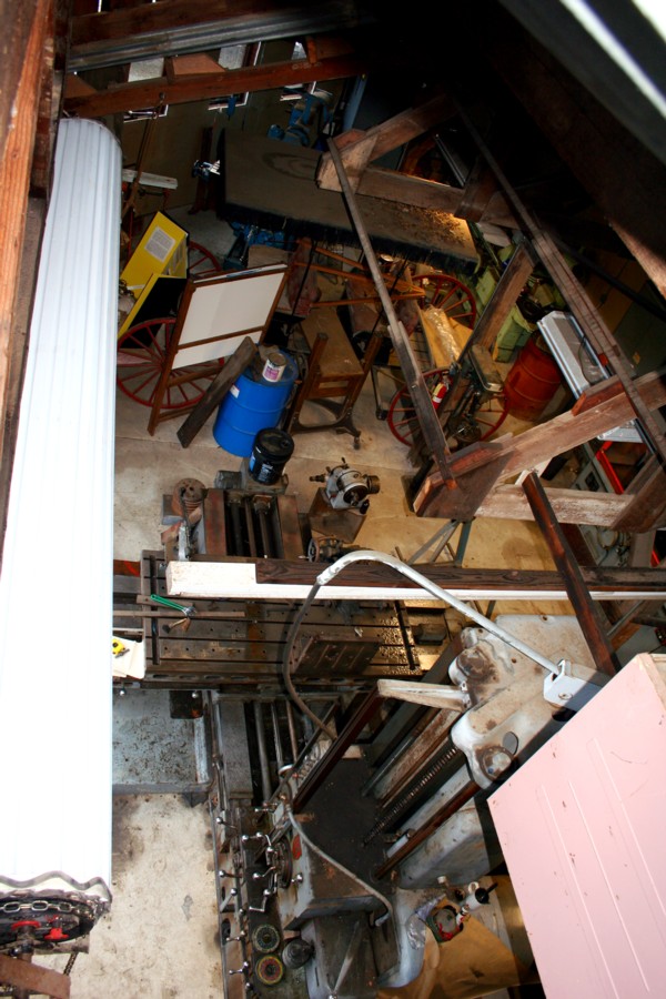
El Dorado Western machine shop
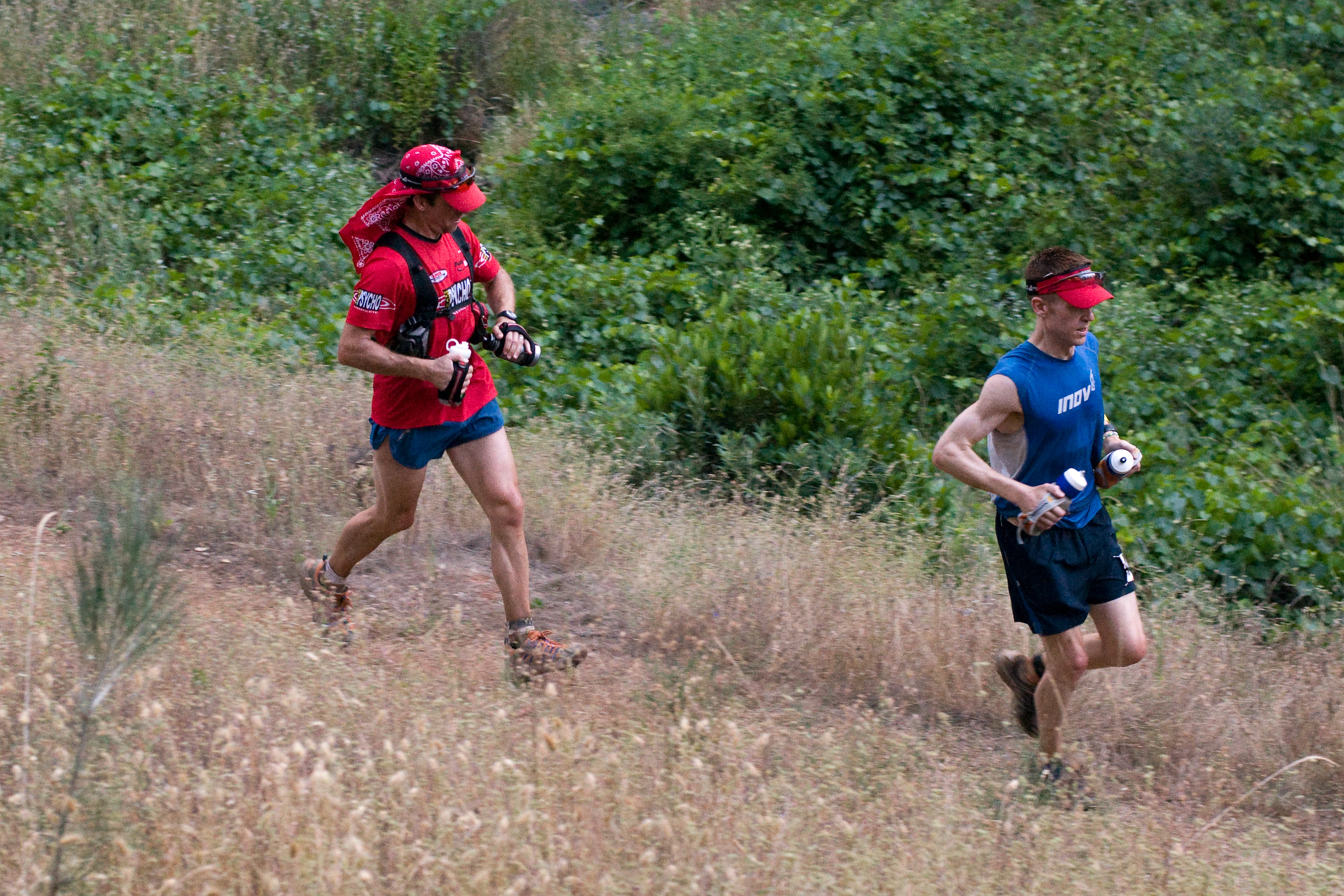
Western States runner
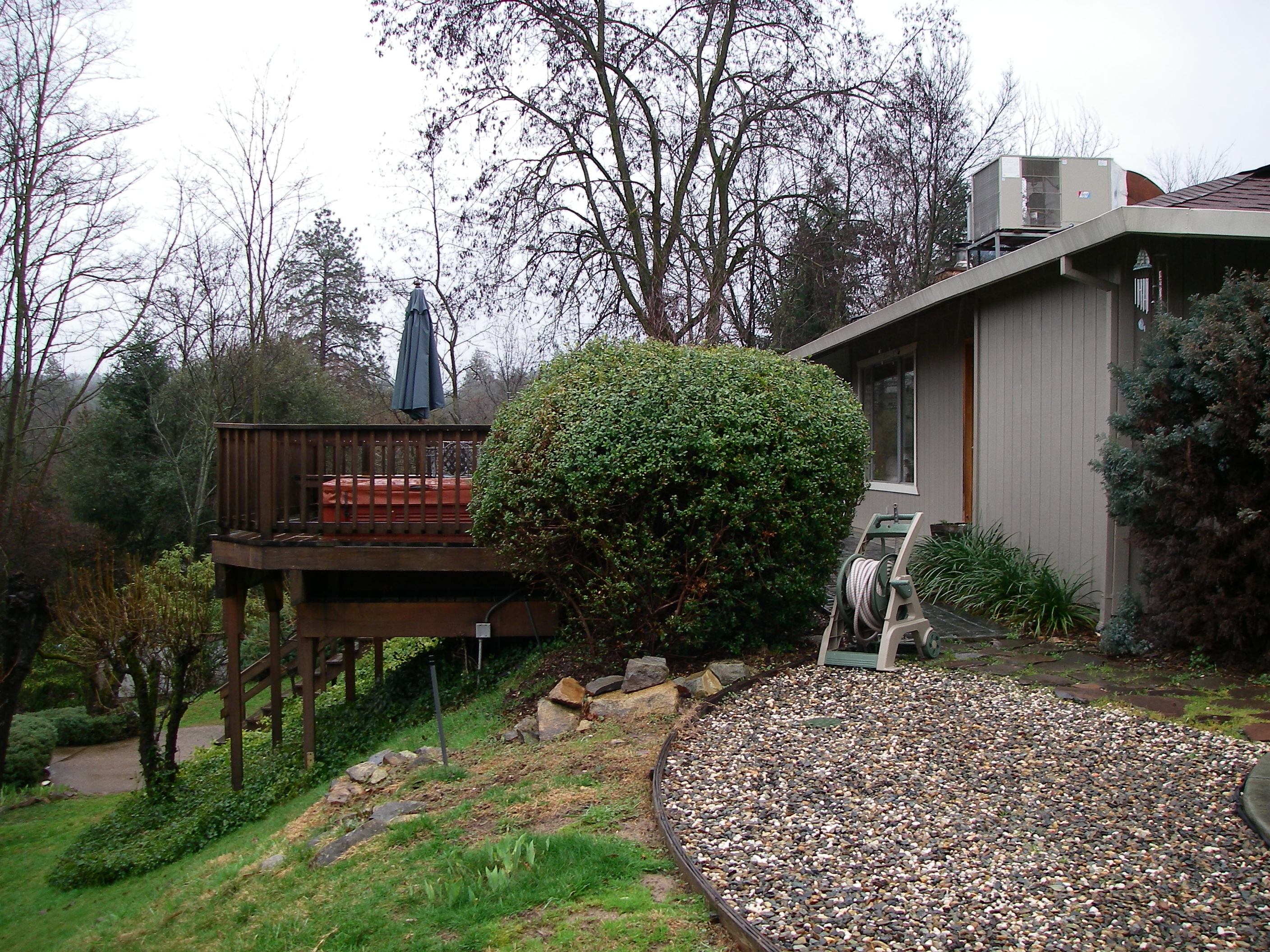
side yard view
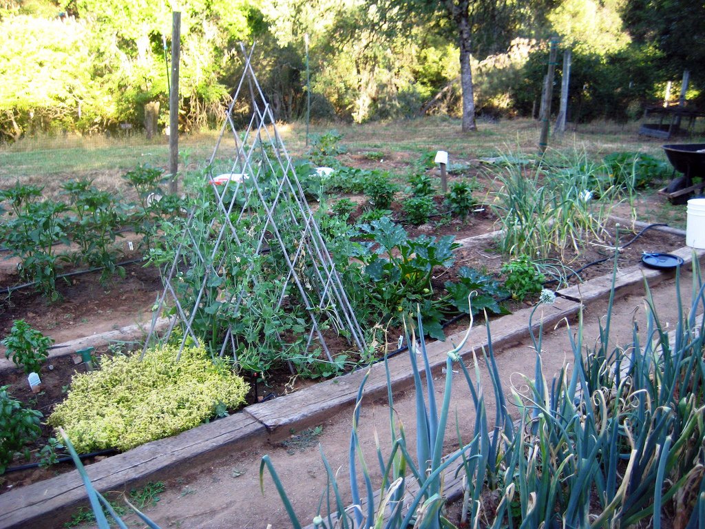
Another view of the July garden
Spring in California
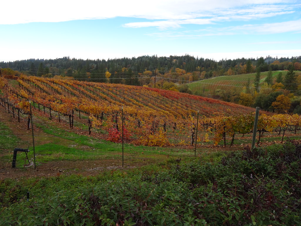
Boeger Winery in the Fall
2010 - March

Hell in our backyard
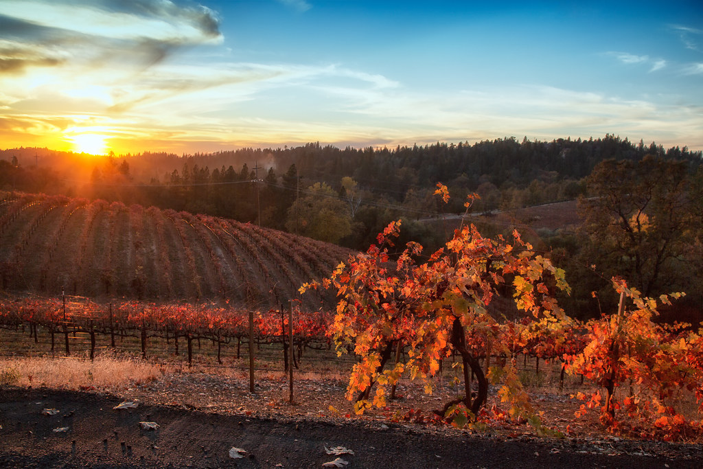
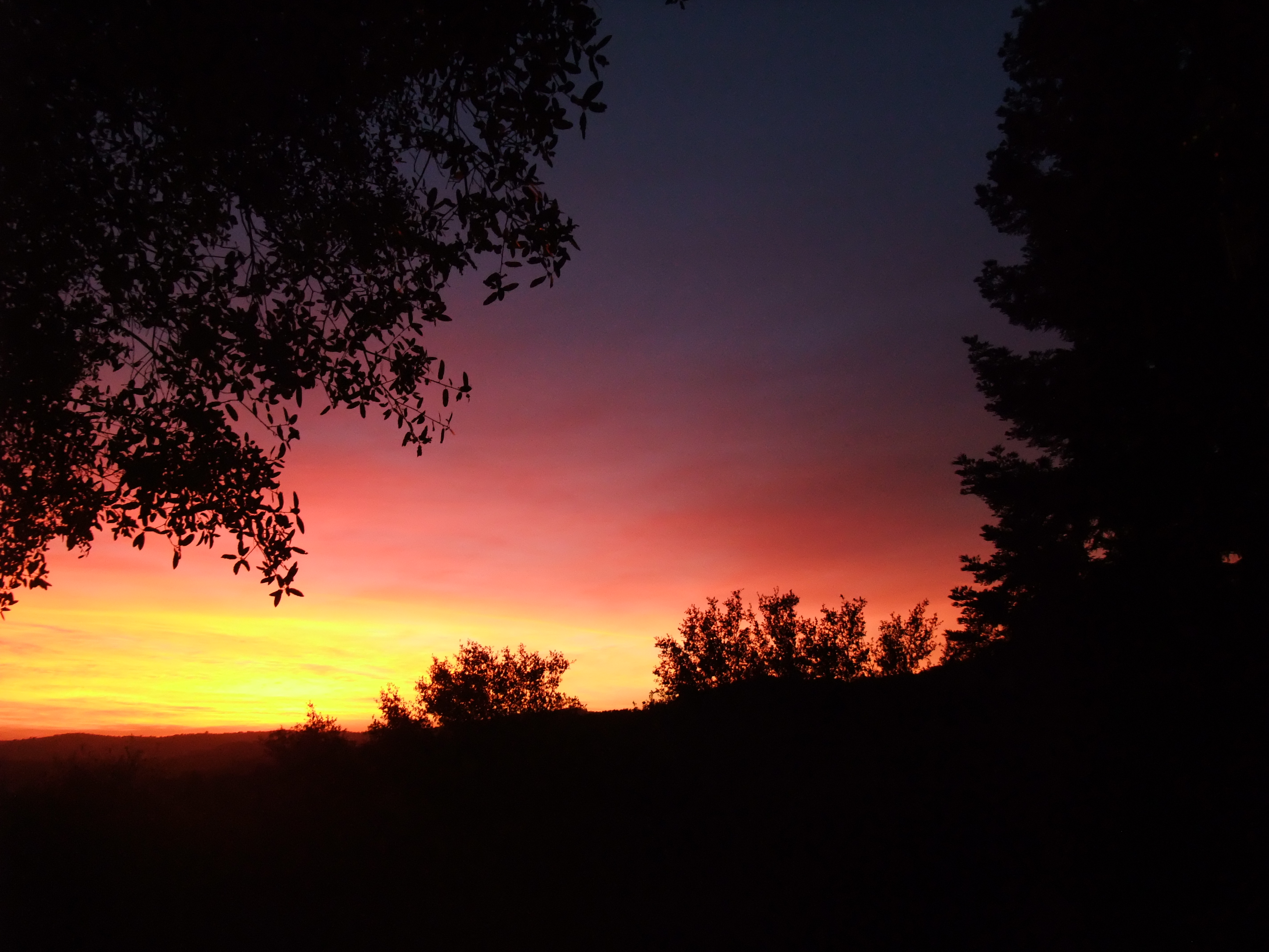
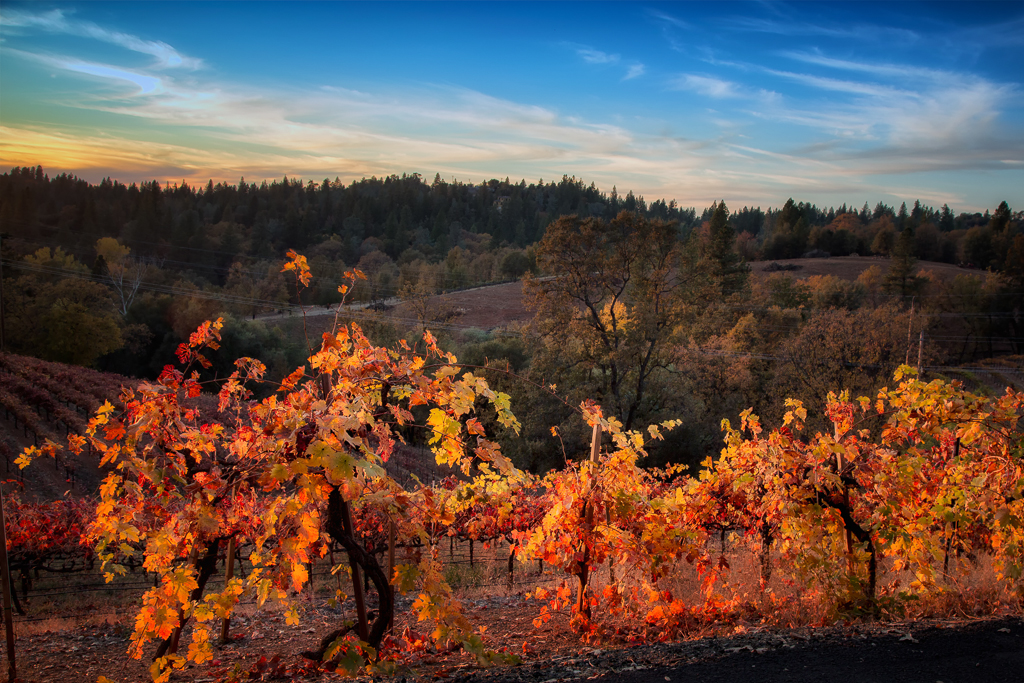
Fall vineyard sunset
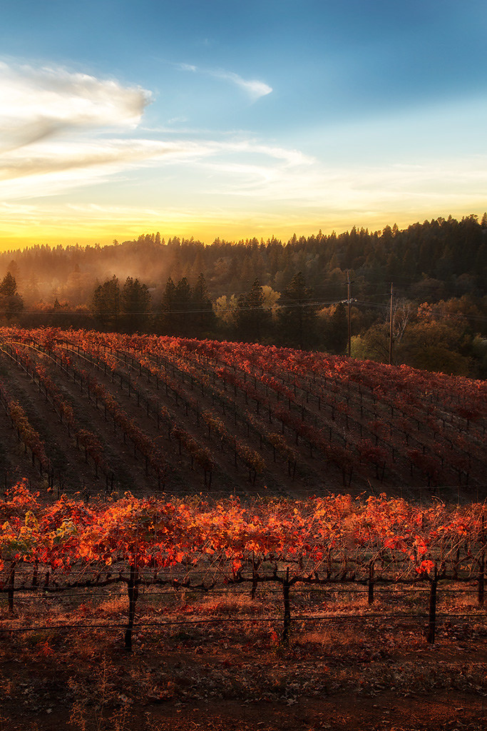
Sunset Vineyard
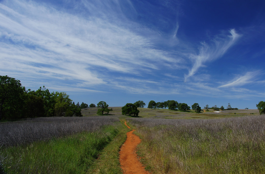
Trails, trees, rocks and all nature has to offer
_ADS3092.jpg
Scenic-6
fall dusk
2010 - March
All Photos-2342
Apple Fields
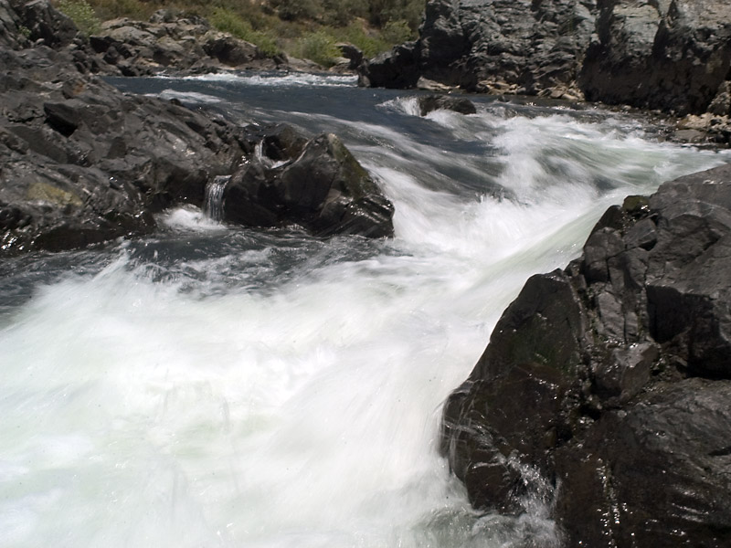
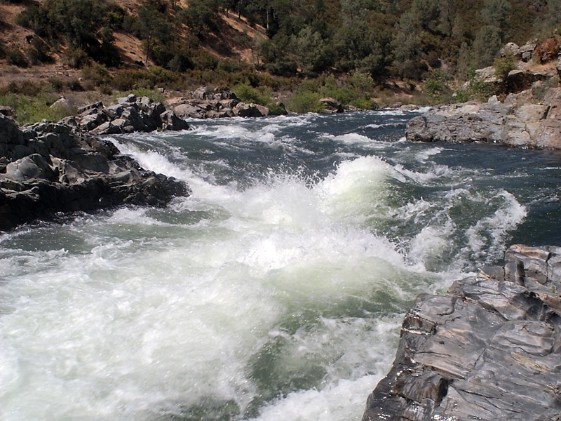
Ruck-A-Chucky
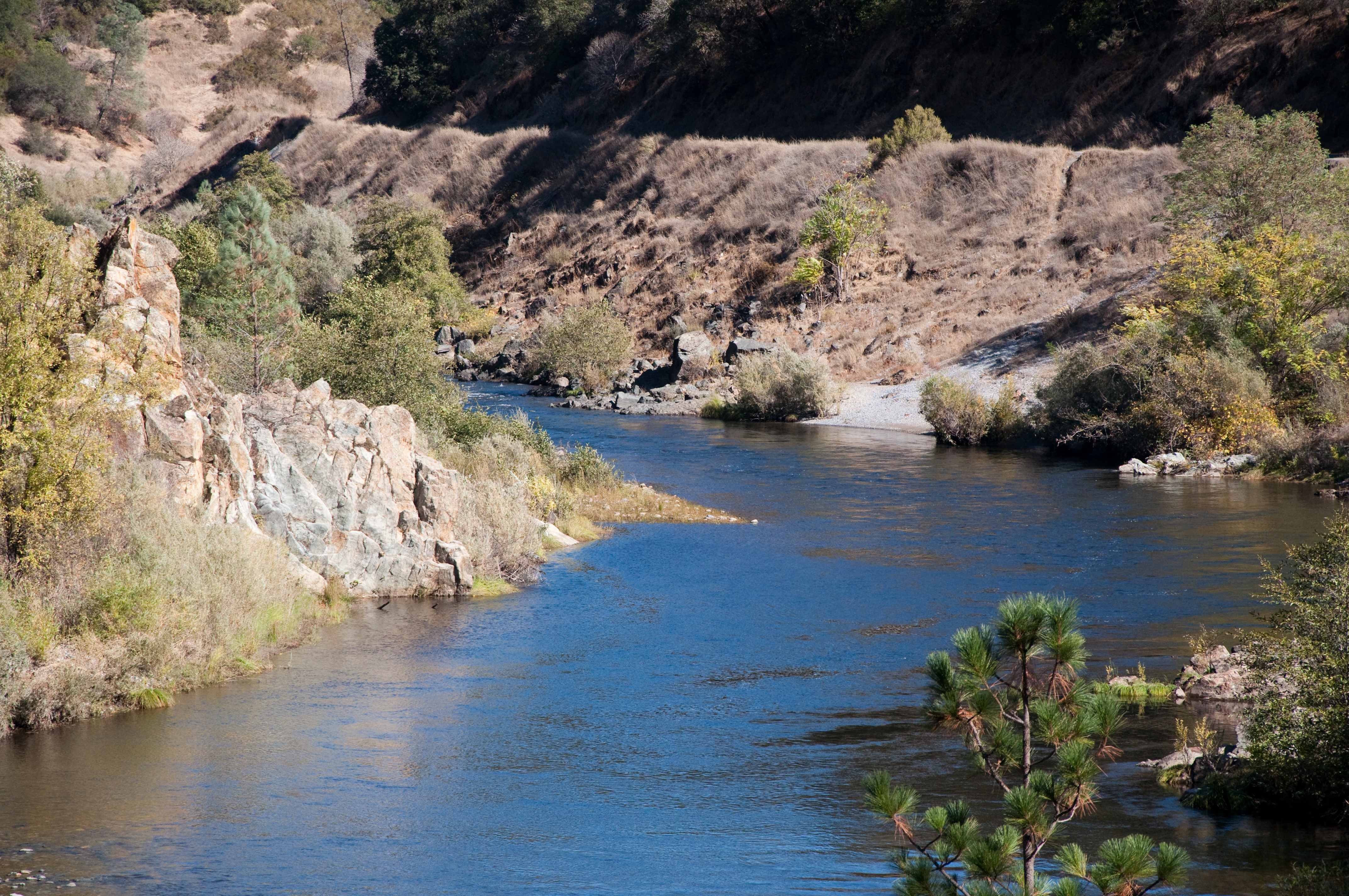
Middle Fork of the river
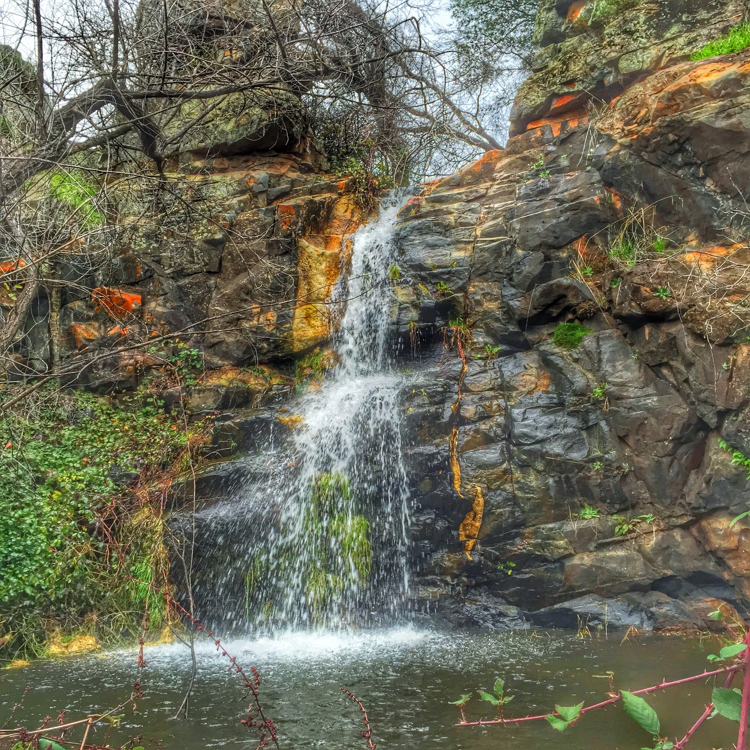
SatansCesspool-2

DSCF0607-Edit-Edit
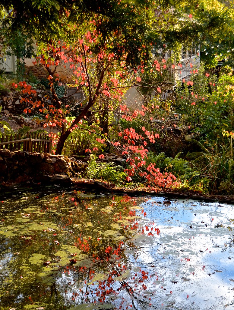
Boeger Winery pond
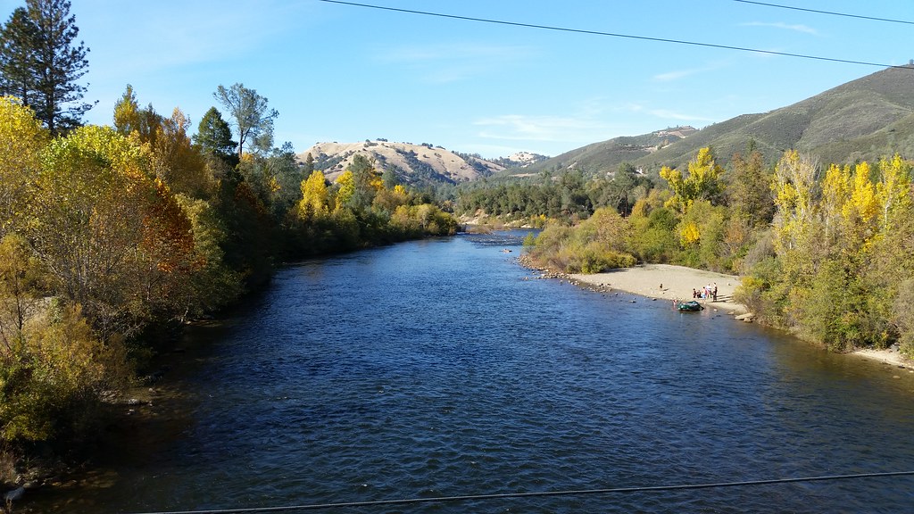
American River
Forty Acres and a Mule

Morning on the river.
Topographic Map of Marshall Rd, Garden Valley, CA, USA
Find elevation by address:

Places near Marshall Rd, Garden Valley, CA, USA:
Garden Valley
5220 Lone Jack Ln
Meadowbrook Rd, Garden Valley, CA, USA
4000 Marshall Rd
3950 Jacobus Dr
3570 Old Greenwood Rd
4541 Mont Eaton Mine Rd
2050 Slat
5225 Ca-193
3611 Dagget Ct
3031 Lasita Pl
4046 Empire Creek Cir
6000 Lower Main St
Rolling Hills Drive
3040 Rolling Hills Dr
3020 Rolling Hills Dr
Jeepers Jamboree
CA-, Georgetown, CA, USA
Georgetown
2681 Buffalo Hill Rd
Recent Searches:
- Elevation of Elwyn Dr, Roanoke Rapids, NC, USA
- Elevation of Congressional Dr, Stevensville, MD, USA
- Elevation of Bellview Rd, McLean, VA, USA
- Elevation of Stage Island Rd, Chatham, MA, USA
- Elevation of Shibuya Scramble Crossing, 21 Udagawacho, Shibuya City, Tokyo -, Japan
- Elevation of Jadagoniai, Kaunas District Municipality, Lithuania
- Elevation of Pagonija rock, Kranto 7-oji g. 8"N, Kaunas, Lithuania
- Elevation of Co Rd 87, Jamestown, CO, USA
- Elevation of Tenjo, Cundinamarca, Colombia
- Elevation of Côte-des-Neiges, Montreal, QC H4A 3J6, Canada