Elevation of CA-, Greenwood, CA, USA
Location: United States > California > El Dorado County > Greenwood >
Longitude: -120.89997
Latitude: 38.9015121
Elevation: 542m / 1778feet
Barometric Pressure: 95KPa
Elevation Map:
Satellite Map:
Related Photos:
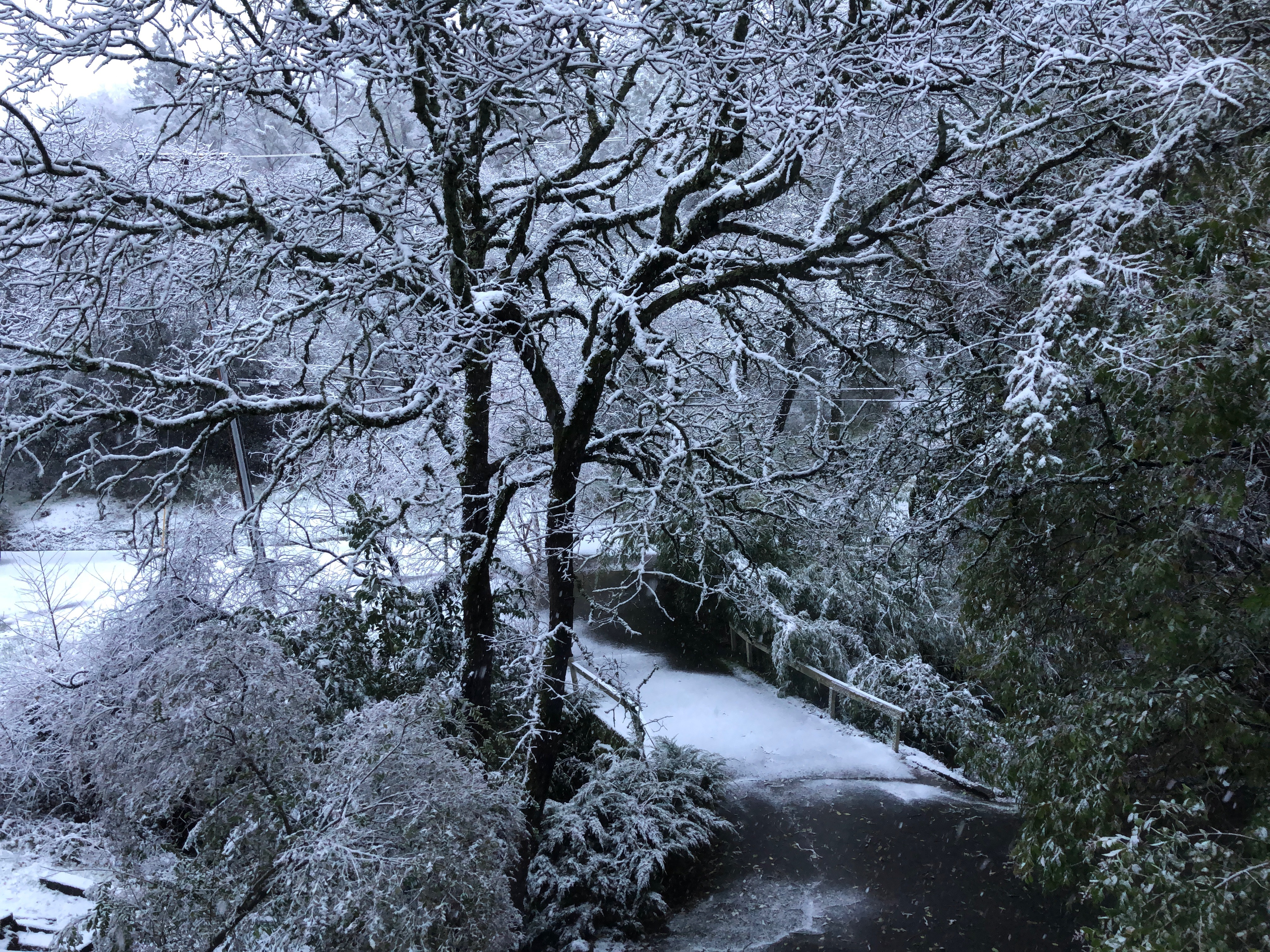
Snow on the ground, Auburn, Placer County, California

Before the Rain

Historic Auburn HDR 4115

American River - Forest Hill, CA
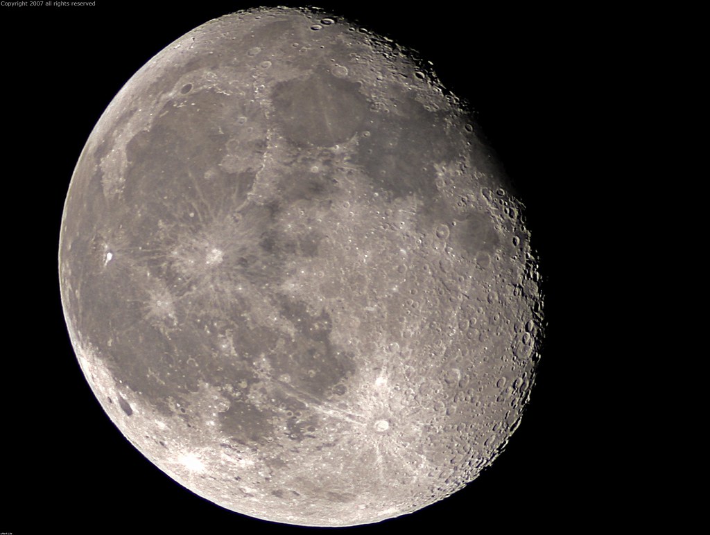
Full Sized Moon and Story 6479

Summer Insanity 2737

The Old Bayley House 2674

Auburn, California

Two Famous Bridges 0935

Placer County Courthouse, Auburn, California

Grotto of the Falls

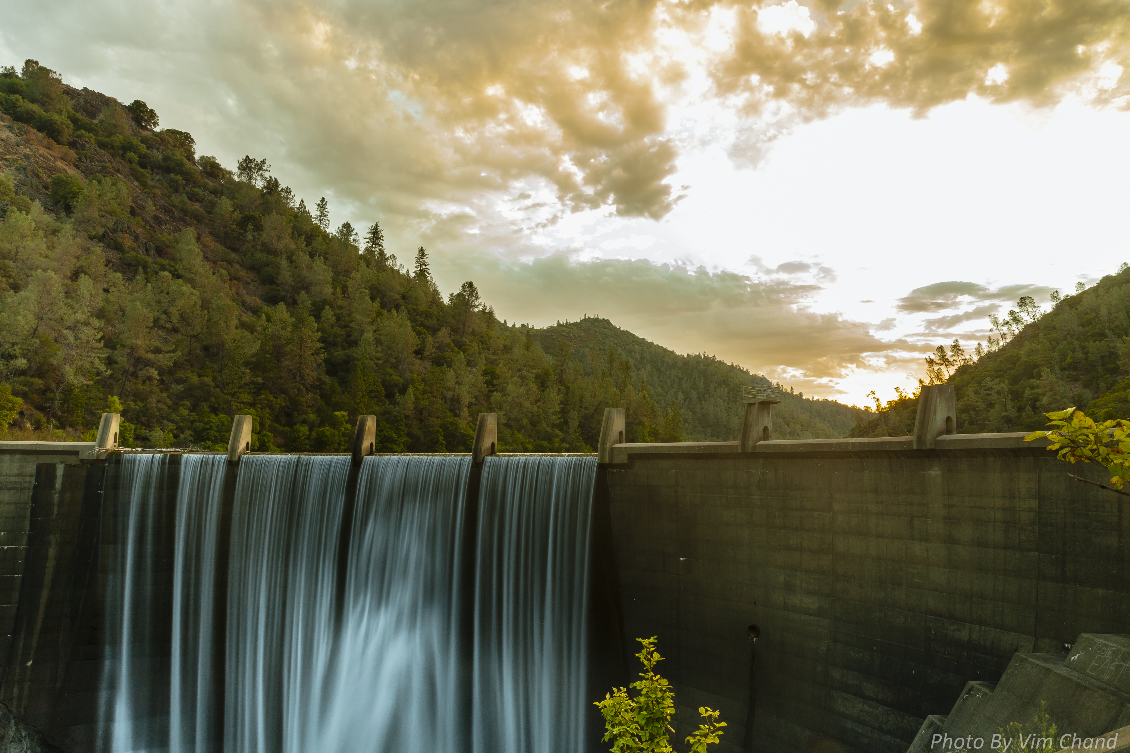
Clementine Dam - California

Clementine Dam - California

Clementine Dam - California
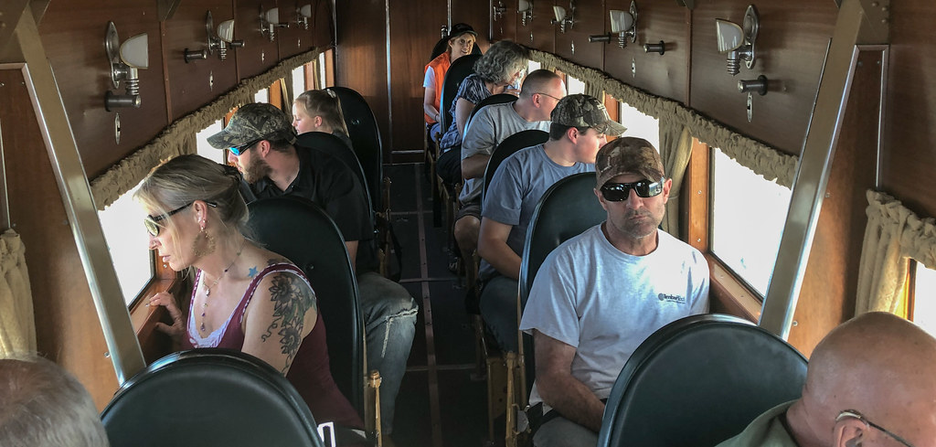
IMG_2729 Inside the 1928 Ford Tri-motor

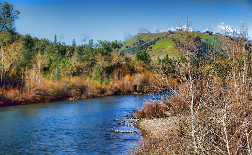
North Fork American River

North Fork of American River

Clementine Dam - California

Day 932: Auburn_9446d

Day 925: Auburn_9181d

The Auburn Courthouse

No Hands Bridge
Lake Clementine Dam
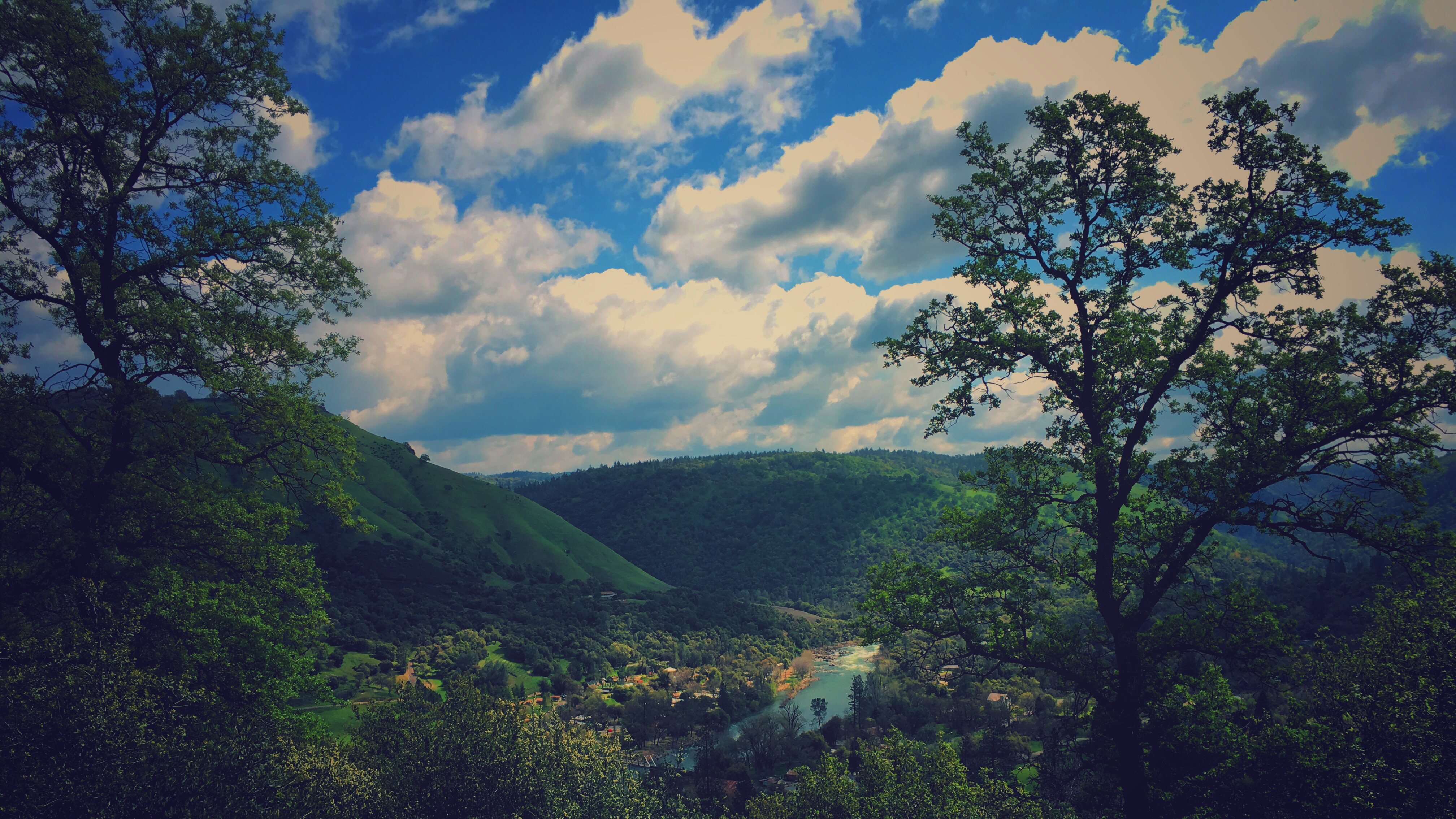
A Winter Morning Along the South Fork of the American River
DSCF6238.jpg

Forty Acres and a Mule

No Hands Bridge

DSCF6229.jpg

Perfect lil Christmas trees

land of milk and honey

Hiker at the Base of Lake Clementine Dam

Auburn Climbing

Auburn Climbing
finding gold in the valley of Coloma

moss and mist

Yankee Jim's Waterfall

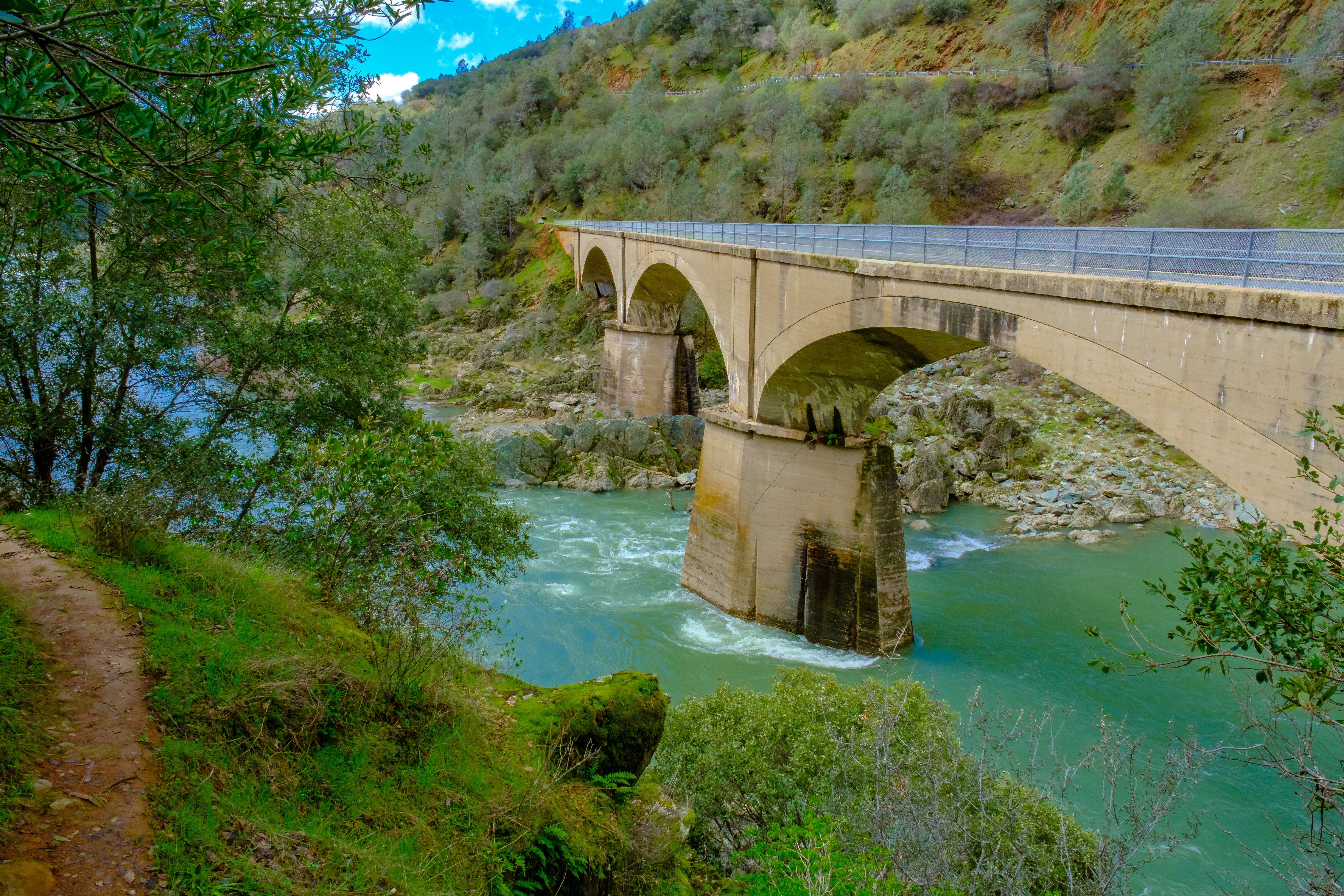
Foresthill Bridge

Clementine Dam - California
Topographic Map of CA-, Greenwood, CA, USA
Find elevation by address:

Places near CA-, Greenwood, CA, USA:
Rd, Greenwood, CA, USA
Greenwood
Courageous Road
3611 Dagget Ct
Trillium Lane
2761 Hoboken Creek Rd
3570 Old Greenwood Rd
5370 Caprine Rd
5271 Caprine Rd
3950 Jacobus Dr
5225 Ca-193
Roquero Cerro Road
1936 Sliger Mine Rd
3390 Sweetwater Trail
2000 Miracle Ln
4580 Edgewater Dr
4401 Edgewater Dr
1975 Lyons Creek Ct
6245 Aerodrome Way
3348 Secret Lake Trail
Recent Searches:
- Elevation of Elwyn Dr, Roanoke Rapids, NC, USA
- Elevation of Congressional Dr, Stevensville, MD, USA
- Elevation of Bellview Rd, McLean, VA, USA
- Elevation of Stage Island Rd, Chatham, MA, USA
- Elevation of Shibuya Scramble Crossing, 21 Udagawacho, Shibuya City, Tokyo -, Japan
- Elevation of Jadagoniai, Kaunas District Municipality, Lithuania
- Elevation of Pagonija rock, Kranto 7-oji g. 8"N, Kaunas, Lithuania
- Elevation of Co Rd 87, Jamestown, CO, USA
- Elevation of Tenjo, Cundinamarca, Colombia
- Elevation of Côte-des-Neiges, Montreal, QC H4A 3J6, Canada