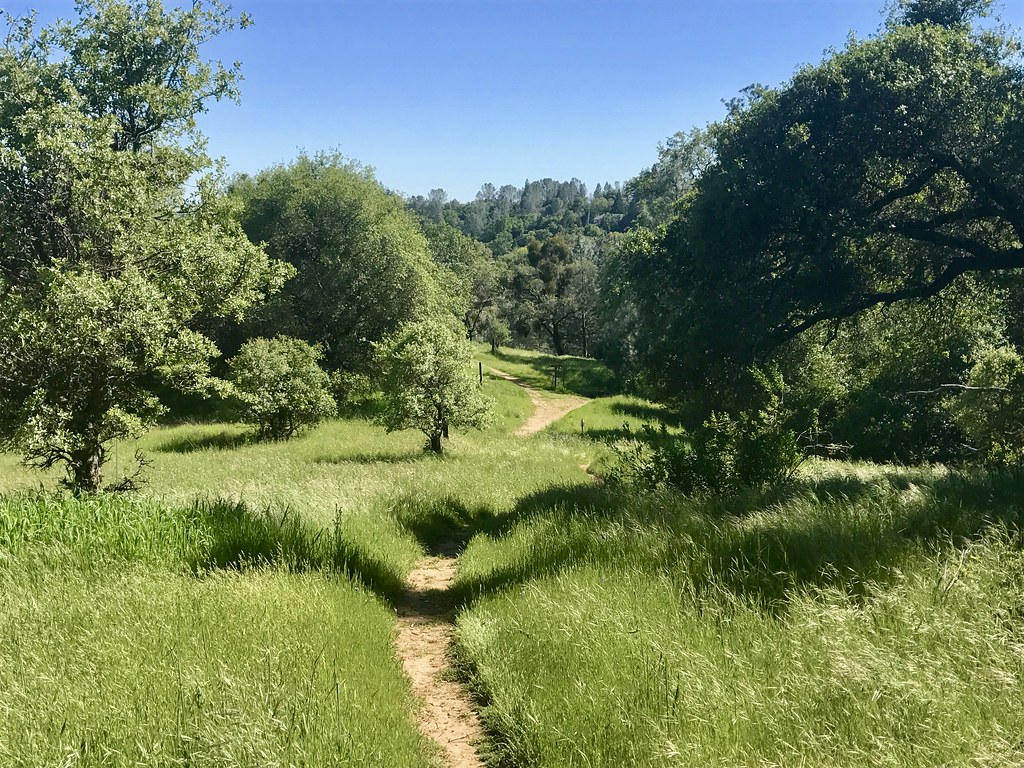
Elevation of Secret Lake Trail, Cool, CA, USA
Location: United States > California > El Dorado County > Cool >
Longitude: -120.93561
Latitude: 38.9192094
Elevation: 585m / 1919feet
Barometric Pressure: 94KPa
Elevation Map:
Satellite Map:
Related Photos:
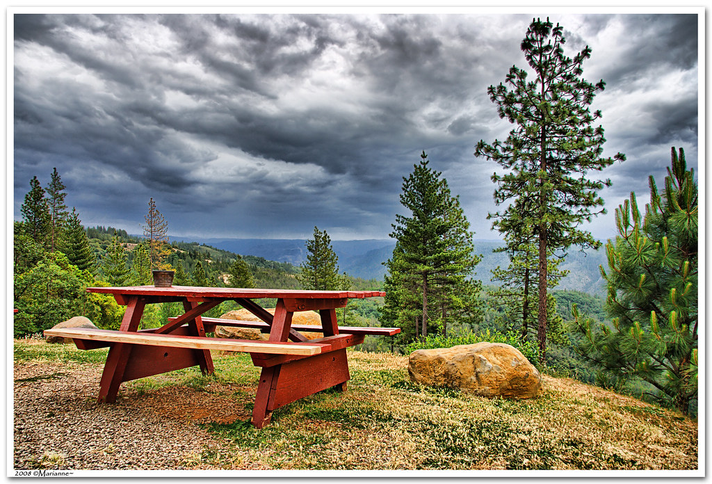
Before the Rain
Full Sized Moon and Story 6479

Stalked by a Mountain Lion
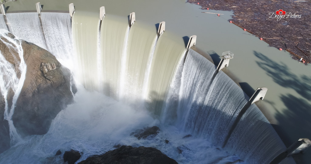
Clementine Dam - California
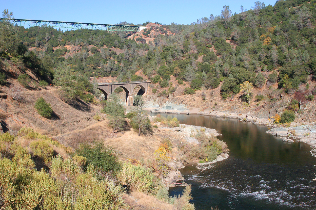
Two Famous Bridges 0935

Fox Sparrow
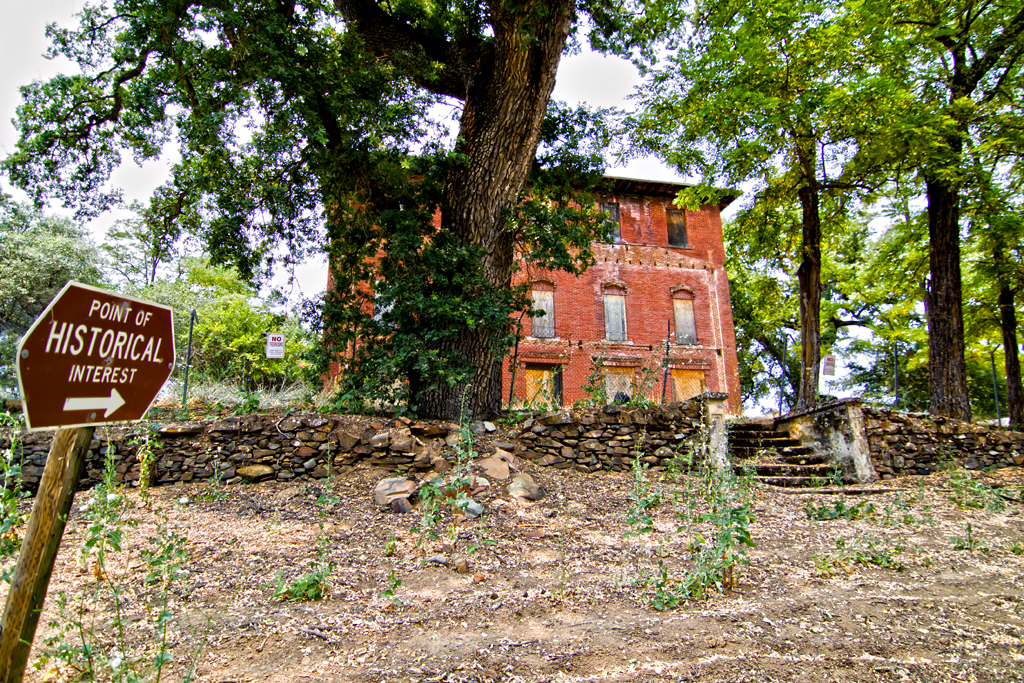
The Old Bayley House 2674
Cool Cave Diggins
Historic Auburn HDR 4115

Day 932: Auburn_9446d

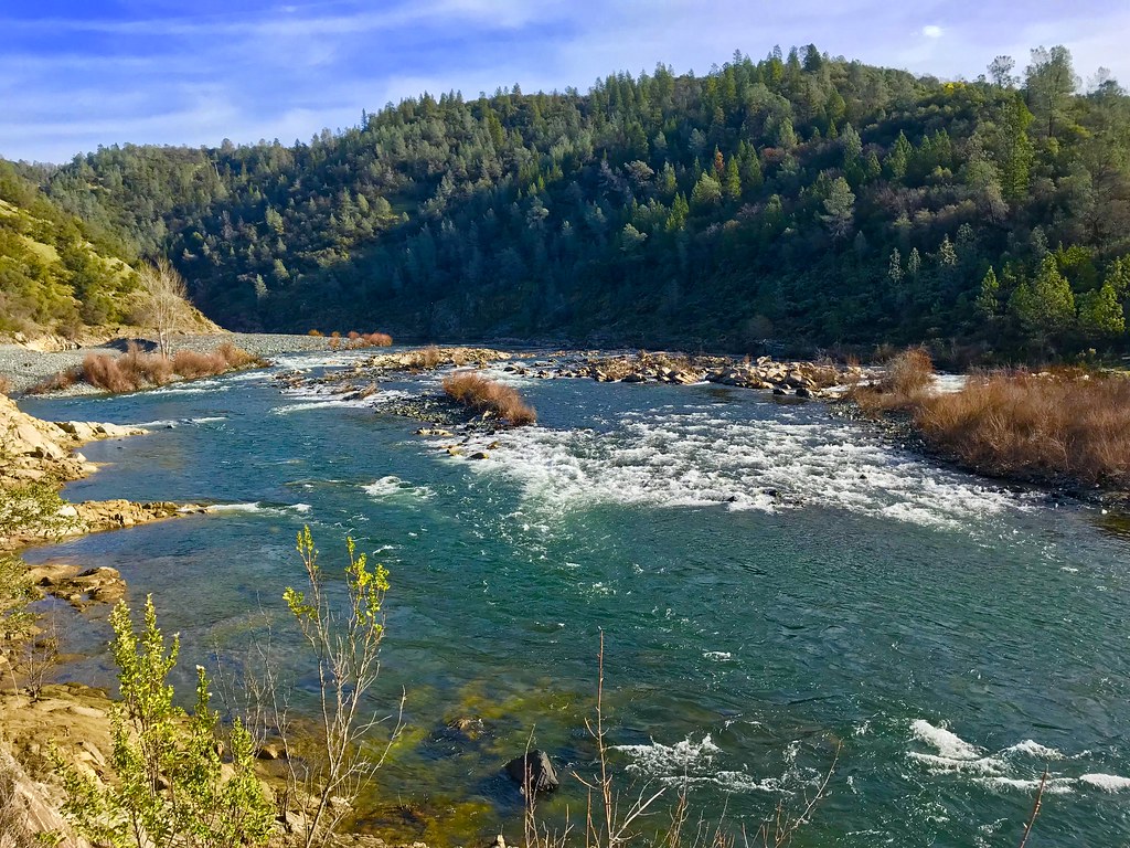
North Fork American River
Green. Blue. Good book. Good view. Perfect weather. #california #sunshine #view #peace #quiet
Day 925: Auburn_9181d
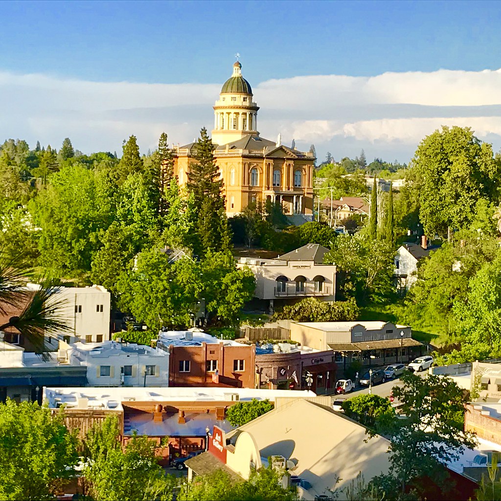
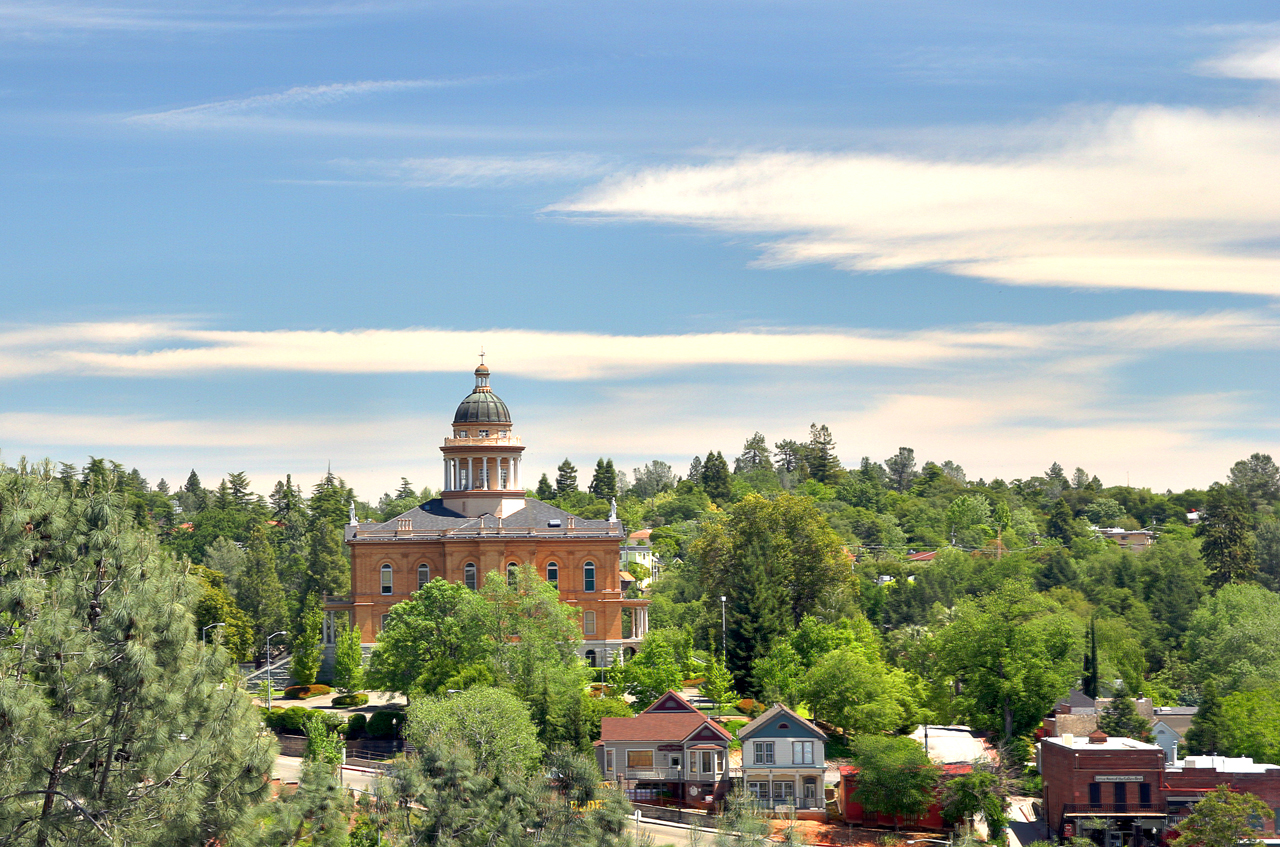
Courthouse View
Canyon View Preserve
From the Gold Country

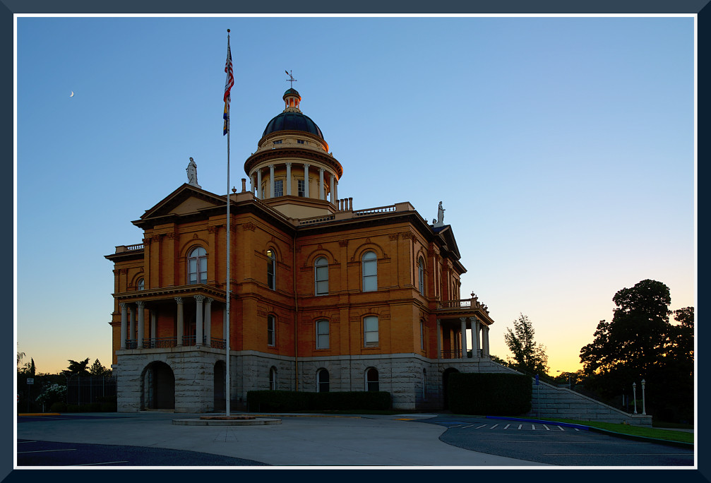
The Auburn Courthouse
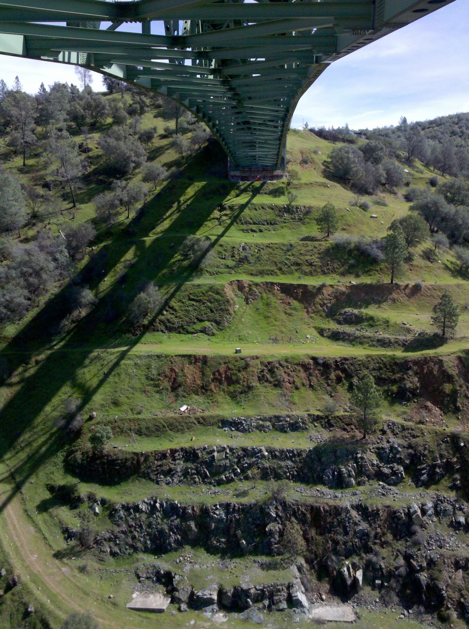
View towards east abutment
Upstream View

Couple-2059
Canyon View
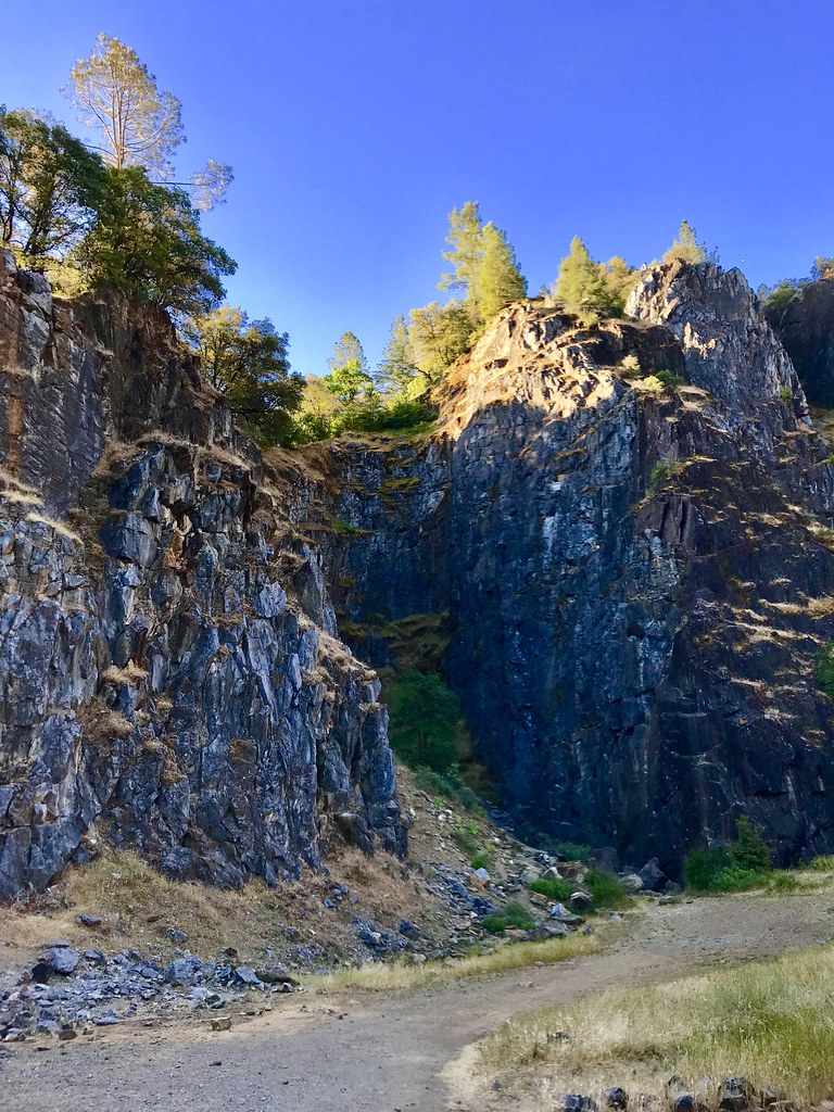
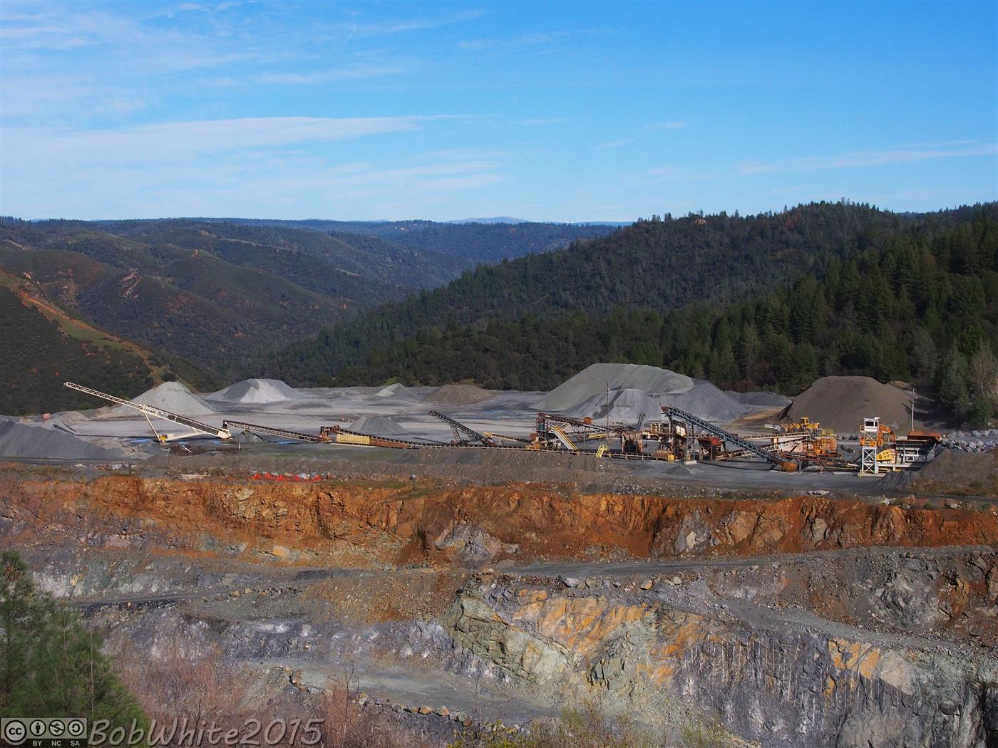
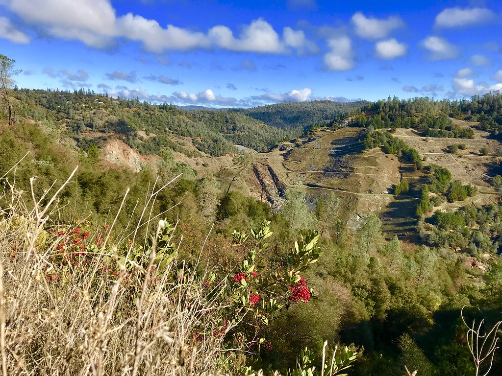
The Quarry
Oregon Bar
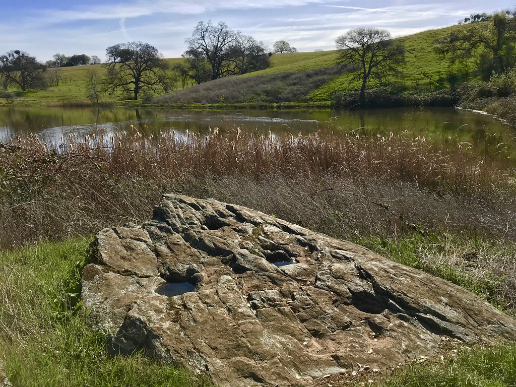
Grinding Rock

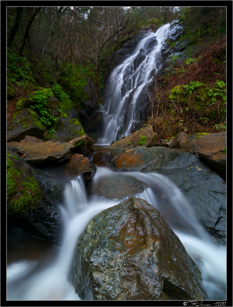
Yankee Jim's Waterfall
Sometimes you get off the bike and take a hike around the lake... #lakeview #california #perfectday #hiking #trails #homestate #hearthealth #cardio #hikecalifornia #sunshine #peace #quiet #reflection

Cool Quarry

Falling Away
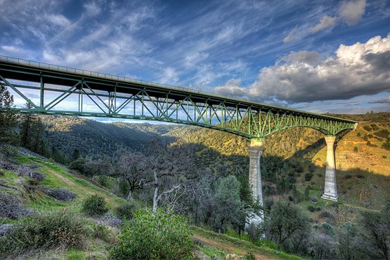
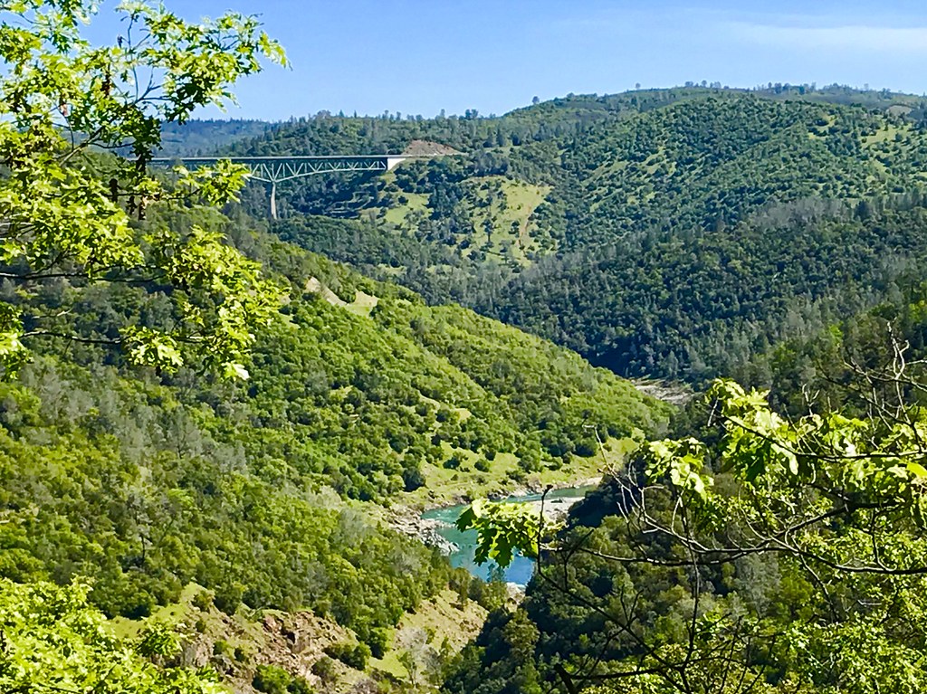
Forresthill Bridge

Clark's Hole
North Fork Photo Op
Amber waves

Foresthill Bridge
Foresthill Bridge
Morning on the American
Pines Peaking Through
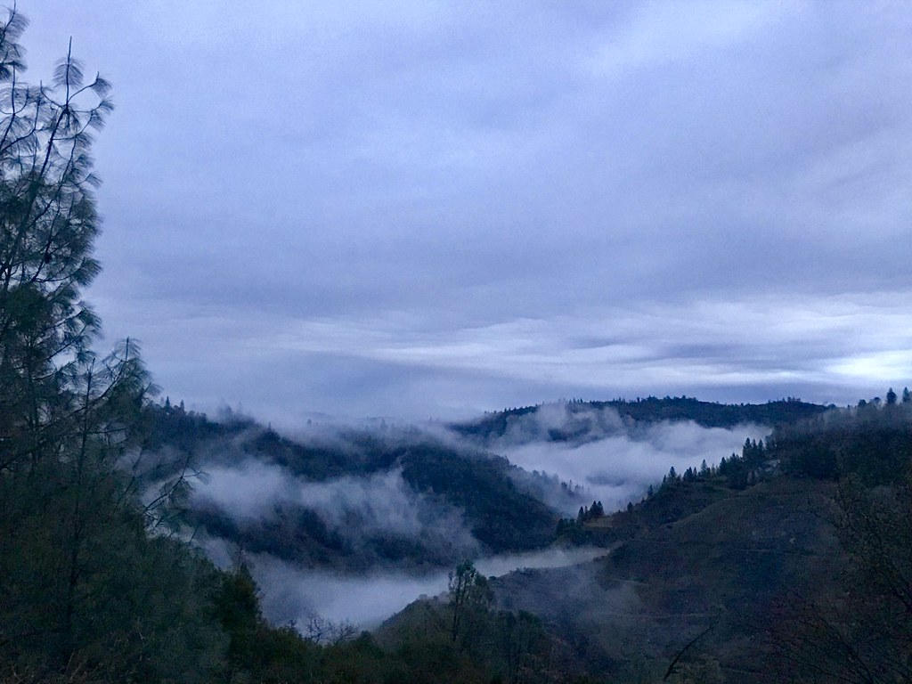
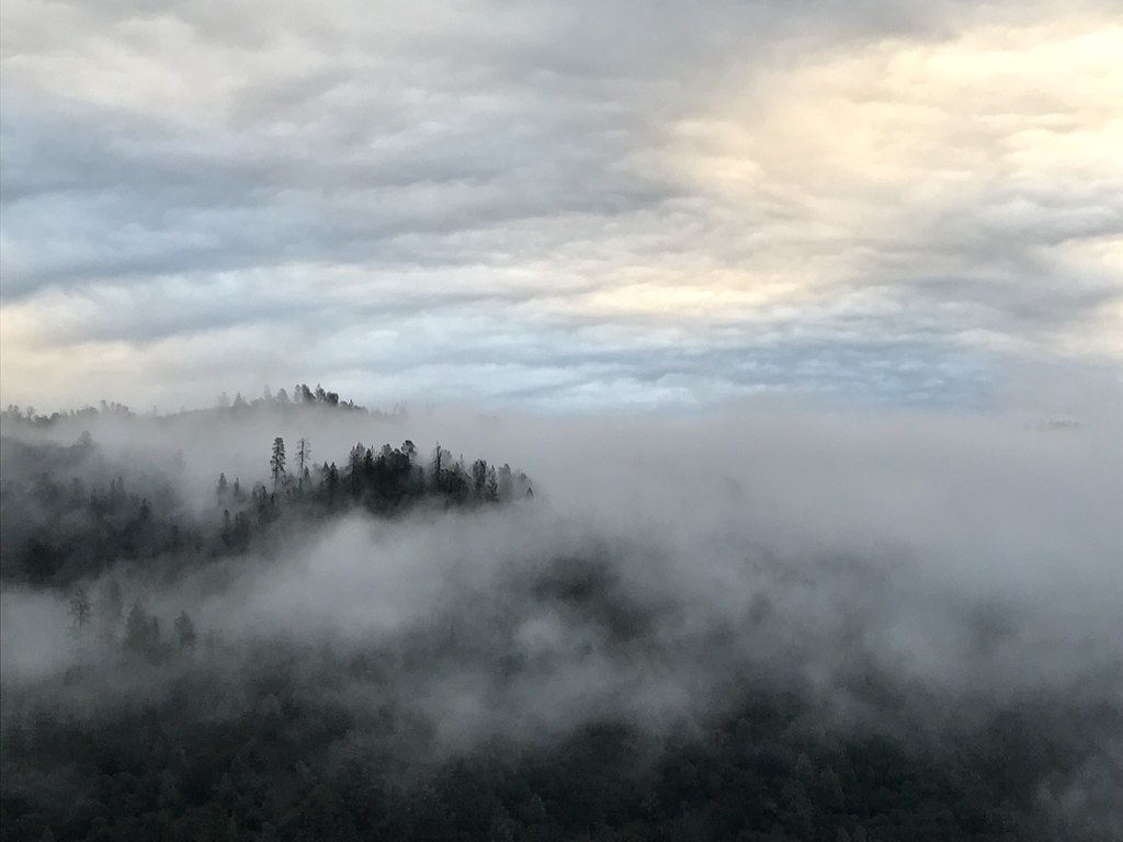
Canyon Clouds
Black Hole of Calcutta
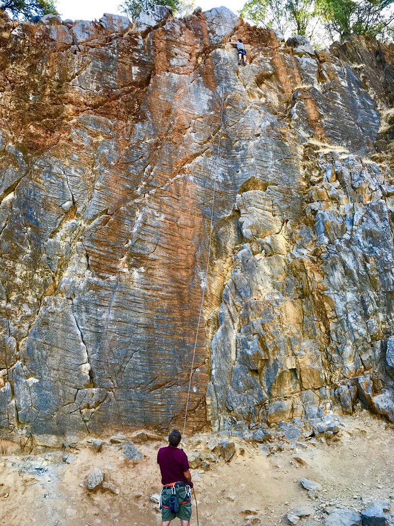
On Belay
Trail Tree

Canyon Clouds
Topographic Map of Secret Lake Trail, Cool, CA, USA
Find elevation by address:

Places near Secret Lake Trail, Cool, CA, USA:
1975 Lyons Creek Ct
3390 Sweetwater Trail
Trillium Lane
2761 Hoboken Creek Rd
Courageous Road
Greenwood
1480 Sliger Mine Rd
Roquero Cerro Road
5271 Caprine Rd
Rd, Greenwood, CA, USA
2000 Miracle Ln
1936 Sliger Mine Rd
5370 Caprine Rd
1878 Sliger Mine Rd
4401 Edgewater Dr
4580 Edgewater Dr
4411 Ca-193
3611 Dagget Ct
6710 Dahlberg Ct
20199 Rim Rock Ct
Recent Searches:
- Elevation of Sadovaya Ulitsa, 20, Rezh, Sverdlovskaya oblast', Russia
- Elevation of Ulitsa Kalinina, 79, Rezh, Sverdlovskaya oblast', Russia
- Elevation of 72-31 Metropolitan Ave, Middle Village, NY, USA
- Elevation of 76 Metropolitan Ave, Brooklyn, NY, USA
- Elevation of Alisal Rd, Solvang, CA, USA
- Elevation of Vista Blvd, Sparks, NV, USA
- Elevation of 15th Ave SE, St. Petersburg, FL, USA
- Elevation of Beall Road, Beall Rd, Florida, USA
- Elevation of Leguwa, Nepal
- Elevation of County Rd, Enterprise, AL, USA