Elevation of Odanah Farms Ltd., 11 MB-16A, Minnedosa, MB R0J 1E0, Canada
Location: Canada > Manitoba > Division No. 15 > Minnedosa >
Longitude: -99.839113
Latitude: 50.2469335
Elevation: -10000m / -32808feet
Barometric Pressure: 295KPa
Elevation Map:
Satellite Map:
Related Photos:

St. Mark's Anglican Church

Canadian Roadtrip (65)
Canadian Roadtrip (66)

Farm Buildings

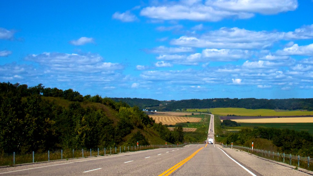
Highway 10

Farm Buildings

Highway 10

Farm Buildings

the red barn

Old House

prairie patterns

Manitoba Grazing Beef

Old Barn

Rural Road Landscape

Minnedosa.

Winter Manitoba Creek

Minnedosa.

Manitoba Landscape

Stormfront_2002-08-30@NW16-16-18W
Topographic Map of Odanah Farms Ltd., 11 MB-16A, Minnedosa, MB R0J 1E0, Canada
Find elevation by address:

Places near Odanah Farms Ltd., 11 MB-16A, Minnedosa, MB R0J 1E0, Canada:
Minnedosa
Justice
Neepawa
22 Main St, Douglas, MB R0K 0R0, Canada
Chater
Cornwallis
Shilo
Aweme
MB-, Wawanesa, MB R0K 2G0, Canada
Oakland
Souris River
Norfolk St, Wawanesa, MB R0K 2G0, Canada
Treesbank
South Cypress
Stockton
Jordan St, Plumas, MB R0J 1P0, Canada
411 Duncan St
Glenboro
Lyall St, Glenboro, MB R0K 0X0, Canada
Road 70 West
Recent Searches:
- Elevation of 24 Oakland Rd #, Scotland, ON N0E 1R0, Canada
- Elevation of Deep Gap Farm Rd E, Mill Spring, NC, USA
- Elevation of Dog Leg Dr, Minden, NV, USA
- Elevation of Dog Leg Dr, Minden, NV, USA
- Elevation of Kambingan Sa Pansol Atbp., Purok 7 Pansol, Candaba, Pampanga, Philippines
- Elevation of Pinewood Dr, New Bern, NC, USA
- Elevation of Mountain View, CA, USA
- Elevation of Foligno, Province of Perugia, Italy
- Elevation of Blauwestad, Netherlands
- Elevation of Bella Terra Blvd, Estero, FL, USA