Elevation of Norfolk St, Wawanesa, MB R0K 2G0, Canada
Location: Canada > Manitoba > Division No. 7 > South Cypress >
Longitude: -99.609795
Latitude: 49.6359225
Elevation: 362m / 1188feet
Barometric Pressure: 97KPa
Elevation Map:
Satellite Map:
Related Photos:
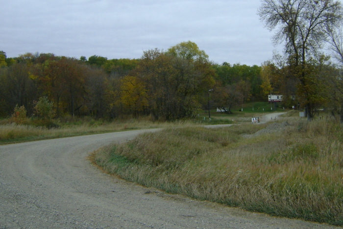
End of the Road
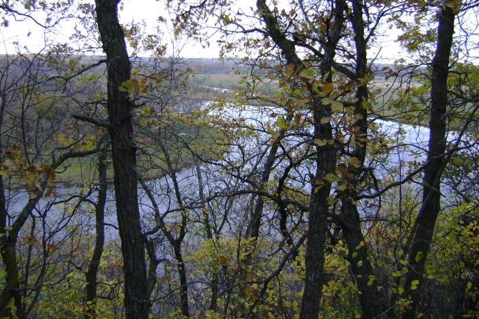
Serpentine Assiniboine

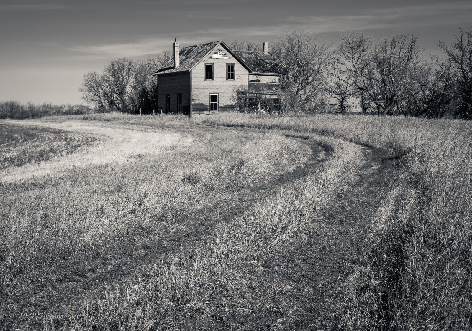
Sunrise House

The OMG House

The Starling House
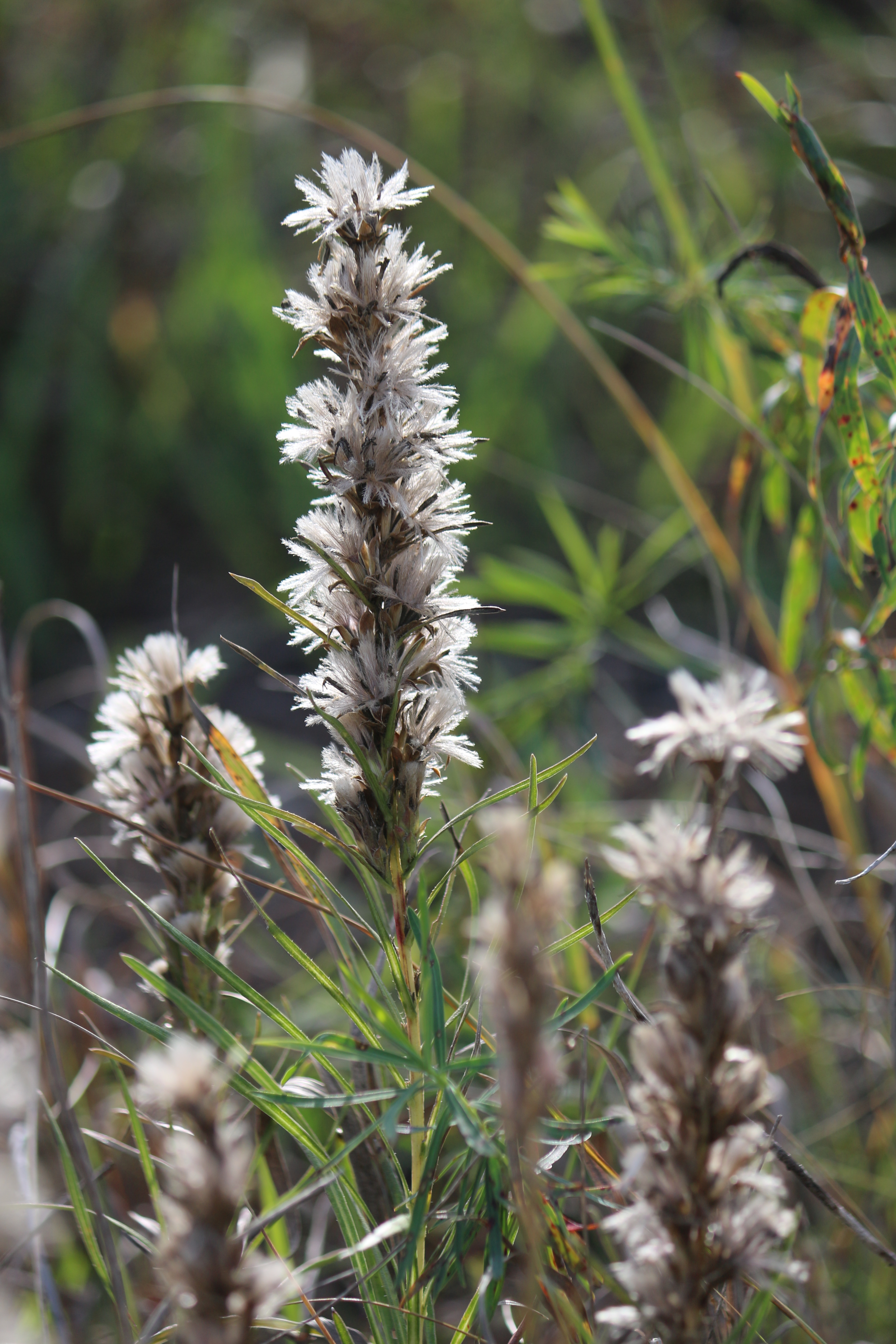
Blazing star (Liatris) prepared for winter

A-Z

At Kyle and Michelle's Wedding Reception!! #iknewthebride #happymarriedlife #countrywedding #June8th2013

At Kyle and Michelle's Wedding Reception!! #iknewthebride #happymarriedlife #countrywedding

Derek and Tami Wedding Reception - June 1st 2013 #ceremonybythelake #beautiful #iphoneography #happymarriedlife

Derek & Tami Wedding Reception - June 1st 2013

Snowshoe Hare Lepus americanus
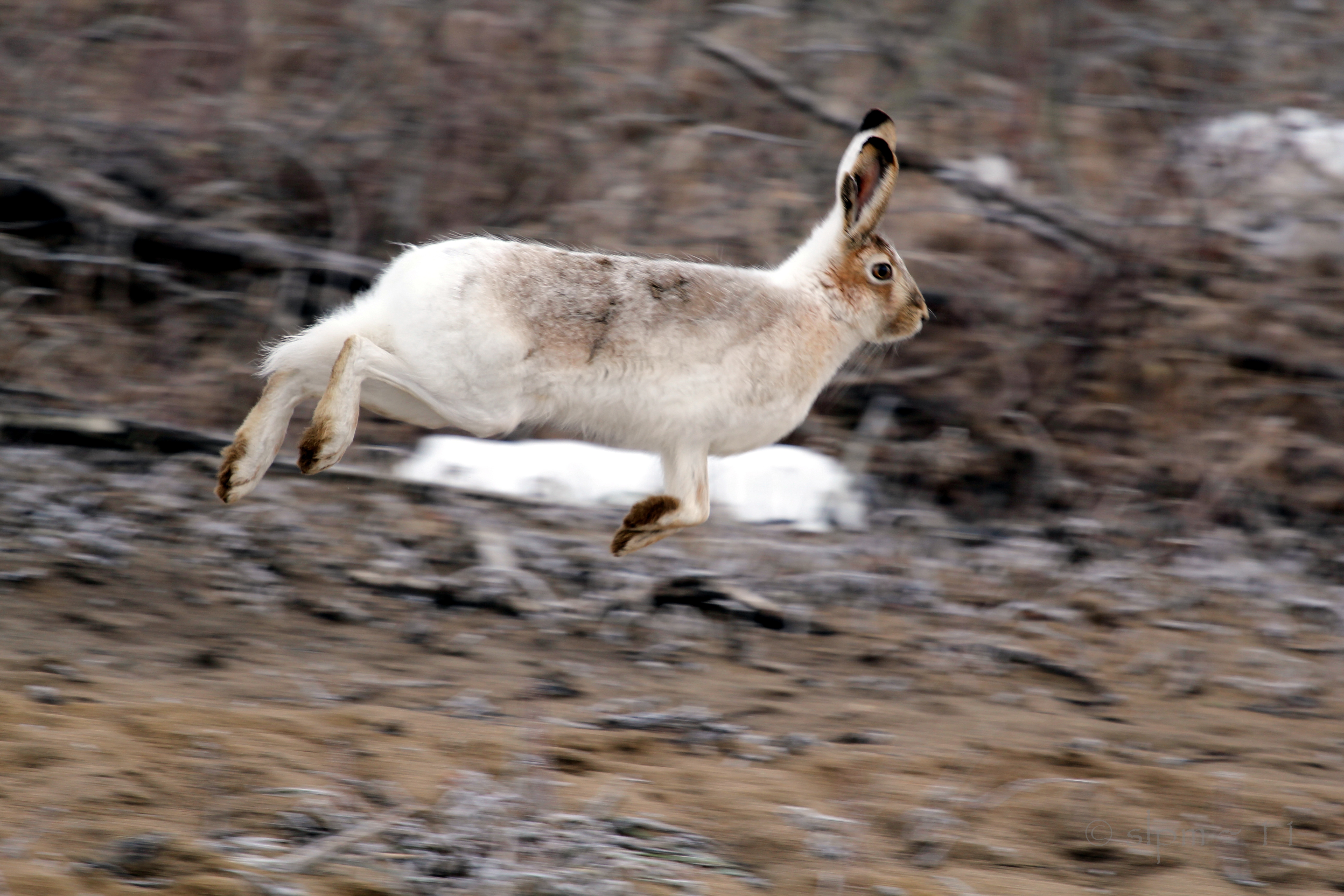
Snowshoe Hare Lepus americanus 07
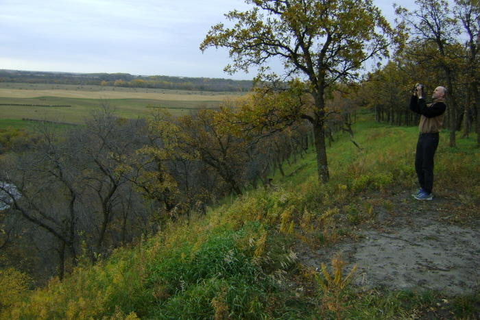
Looking Back
Autumn Colours Captured
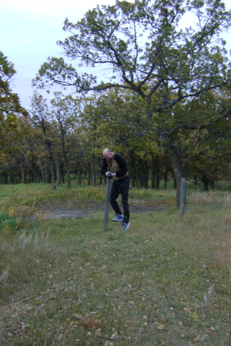
Hung Up!
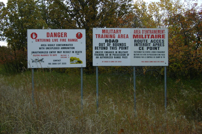
Military Zone
Topographic Map of Norfolk St, Wawanesa, MB R0K 2G0, Canada
Find elevation by address:

Places near Norfolk St, Wawanesa, MB R0K 2G0, Canada:
Treesbank
Souris River
Aweme
MB-, Wawanesa, MB R0K 2G0, Canada
Stockton
Shilo
South Cypress
Oakland
Cornwallis
Belmont
Chater
22 Main St, Douglas, MB R0K 0R0, Canada
411 Duncan St
Glenboro
Lyall St, Glenboro, MB R0K 0X0, Canada
Justice
2nd St, Baldur, MB R0K 0B0, Canada
Baldur
Argyle
Road 70 West
Recent Searches:
- Elevation of Corso Fratelli Cairoli, 35, Macerata MC, Italy
- Elevation of Tallevast Rd, Sarasota, FL, USA
- Elevation of 4th St E, Sonoma, CA, USA
- Elevation of Black Hollow Rd, Pennsdale, PA, USA
- Elevation of Oakland Ave, Williamsport, PA, USA
- Elevation of Pedrógão Grande, Portugal
- Elevation of Klee Dr, Martinsburg, WV, USA
- Elevation of Via Roma, Pieranica CR, Italy
- Elevation of Tavkvetili Mountain, Georgia
- Elevation of Hartfords Bluff Cir, Mt Pleasant, SC, USA