Elevation of Minnedosa, MB, Canada
Location: Canada > Manitoba > Division No. 15 >
Longitude: -99.838649
Latitude: 50.2470383
Elevation: 509m / 1670feet
Barometric Pressure: 95KPa
Elevation Map:
Satellite Map:
Related Photos:
Canadian Roadtrip (65)
Canadian Roadtrip (66)

the red barn
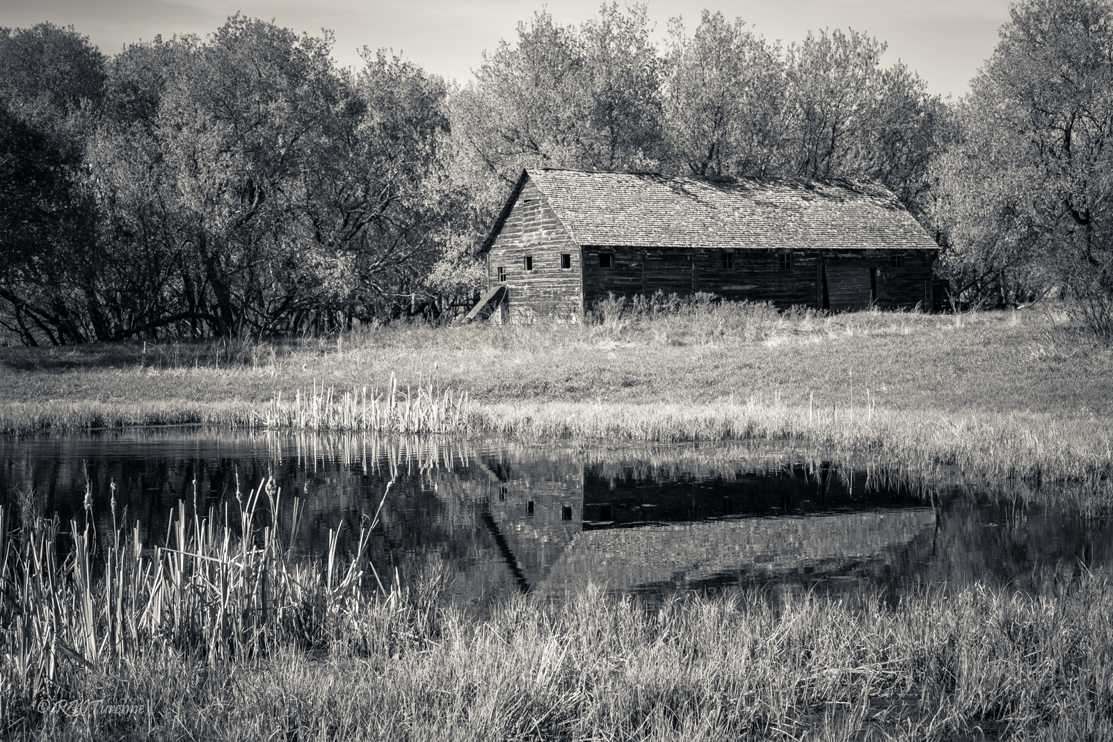
Old Barn
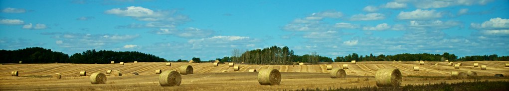
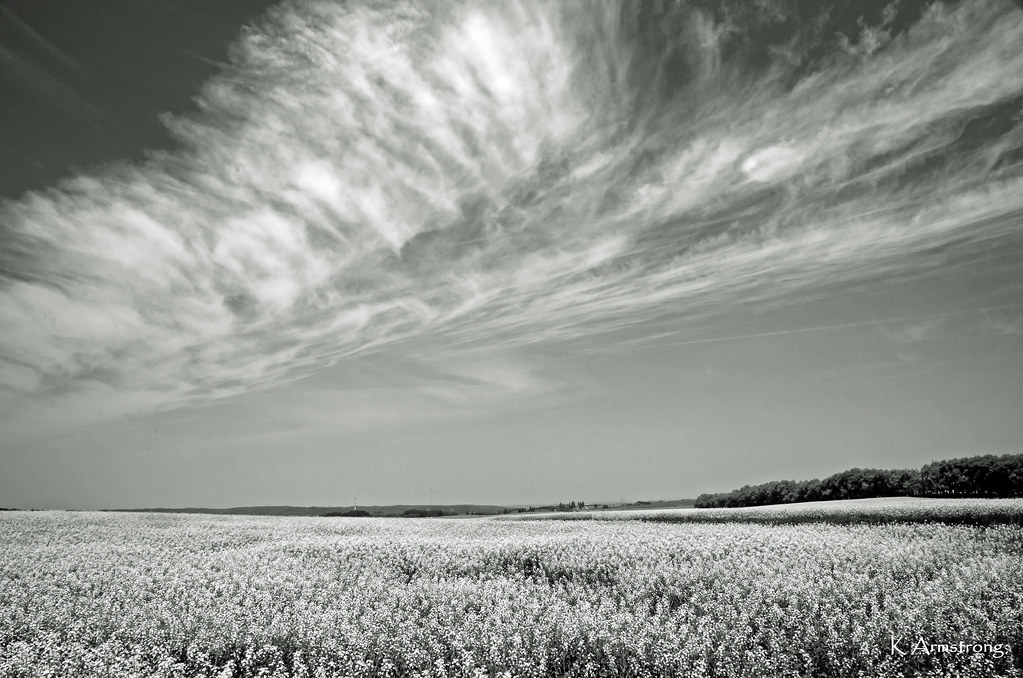
prairie patterns
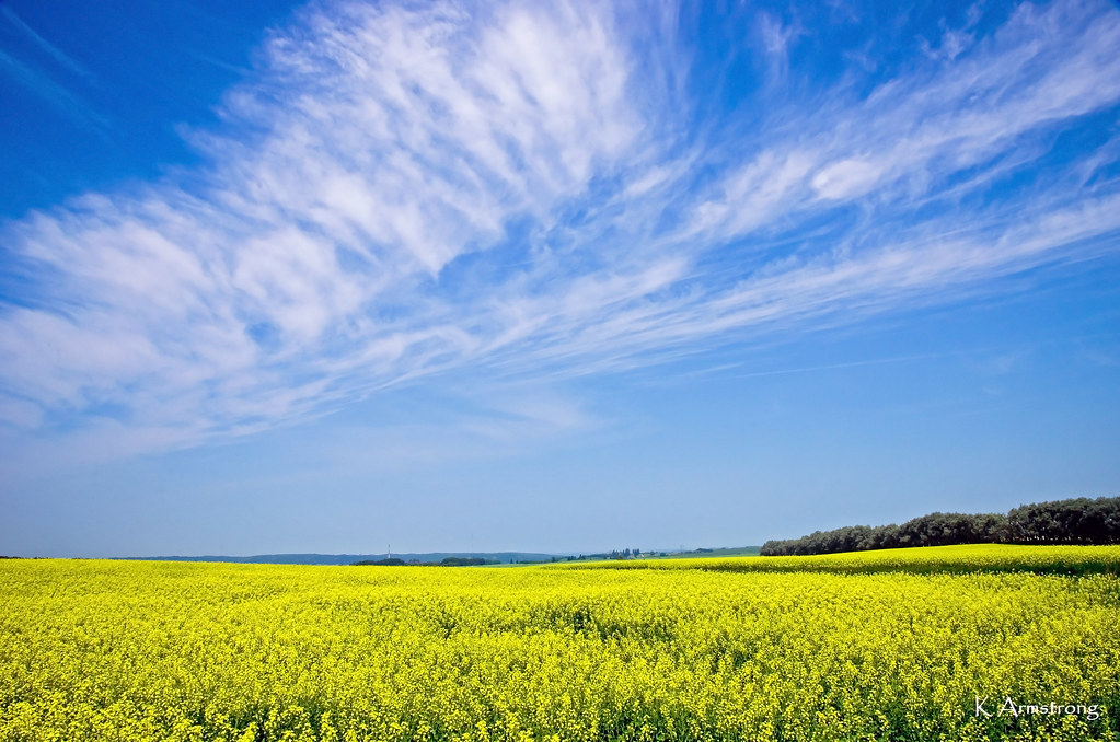
under the prairie sky
Rural Road Landscape
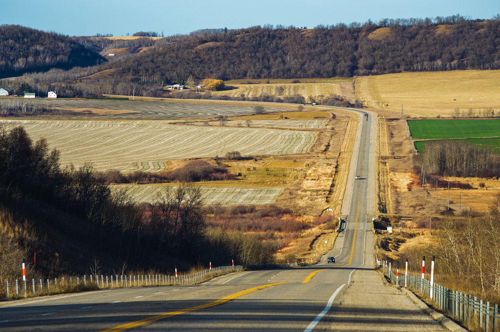
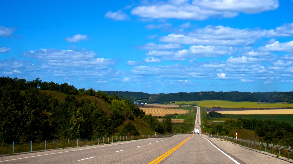
Highway 10
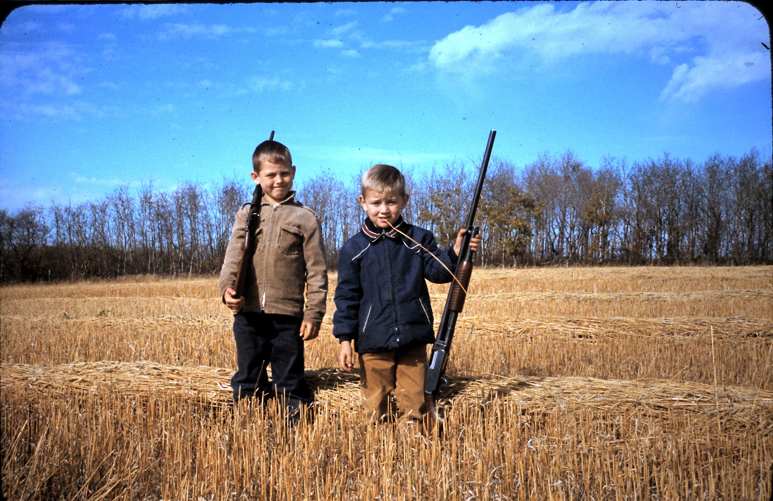
Hunting Cousins
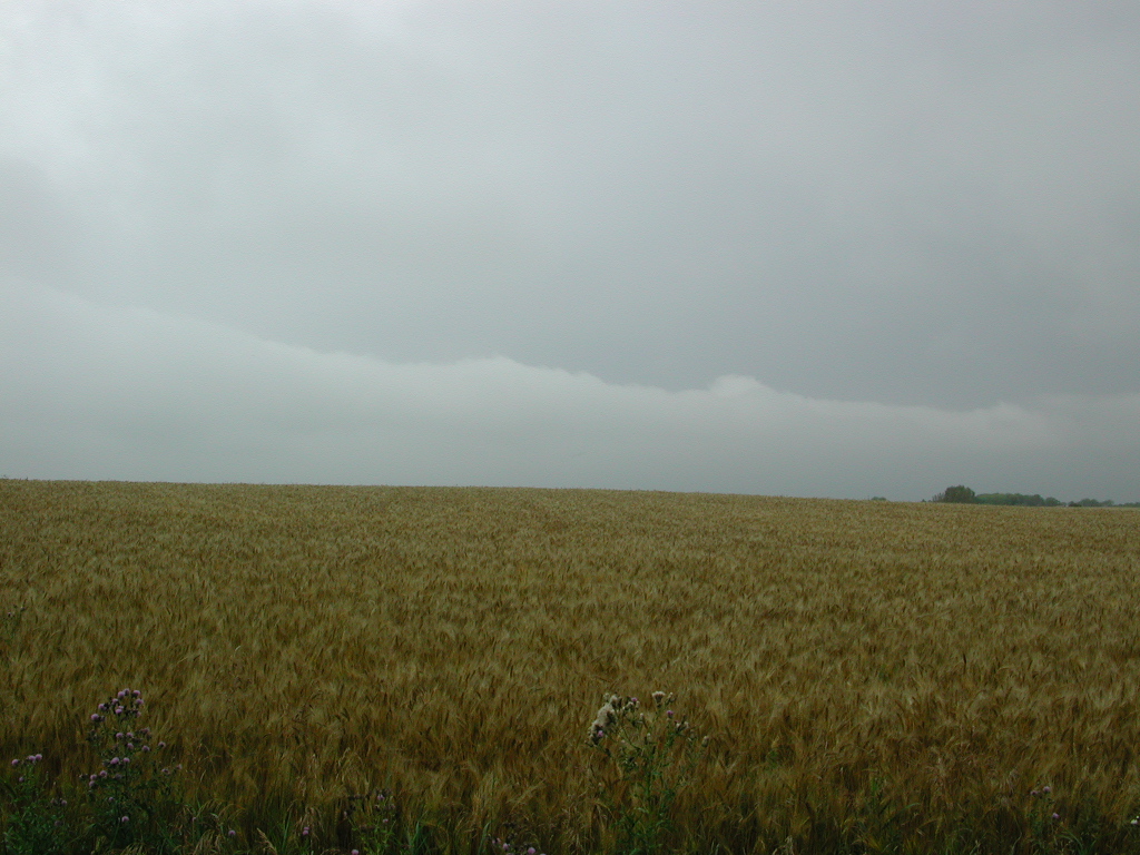
Stormfront_2002-08-30@NW16-16-18W
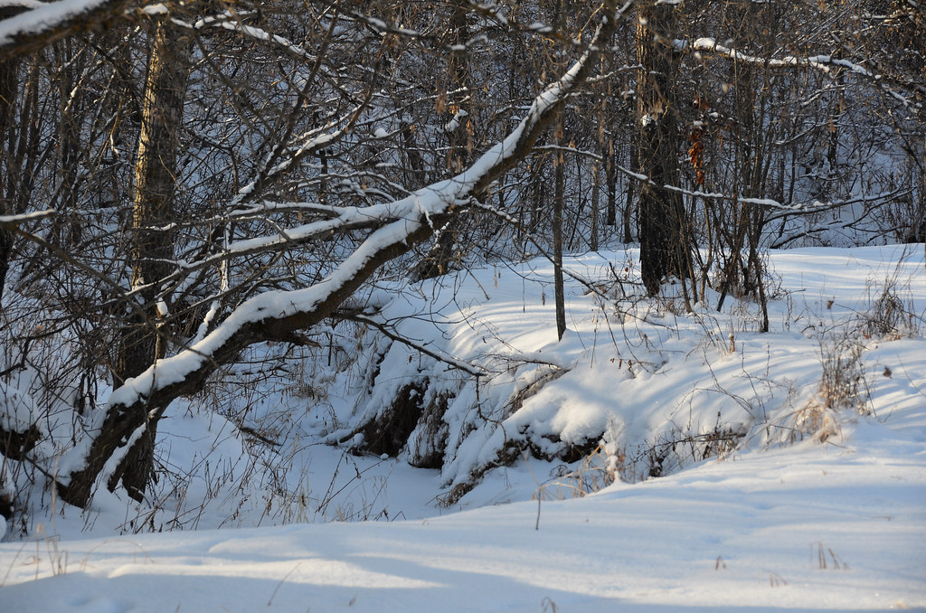
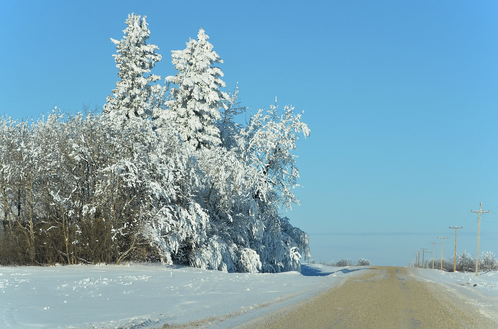
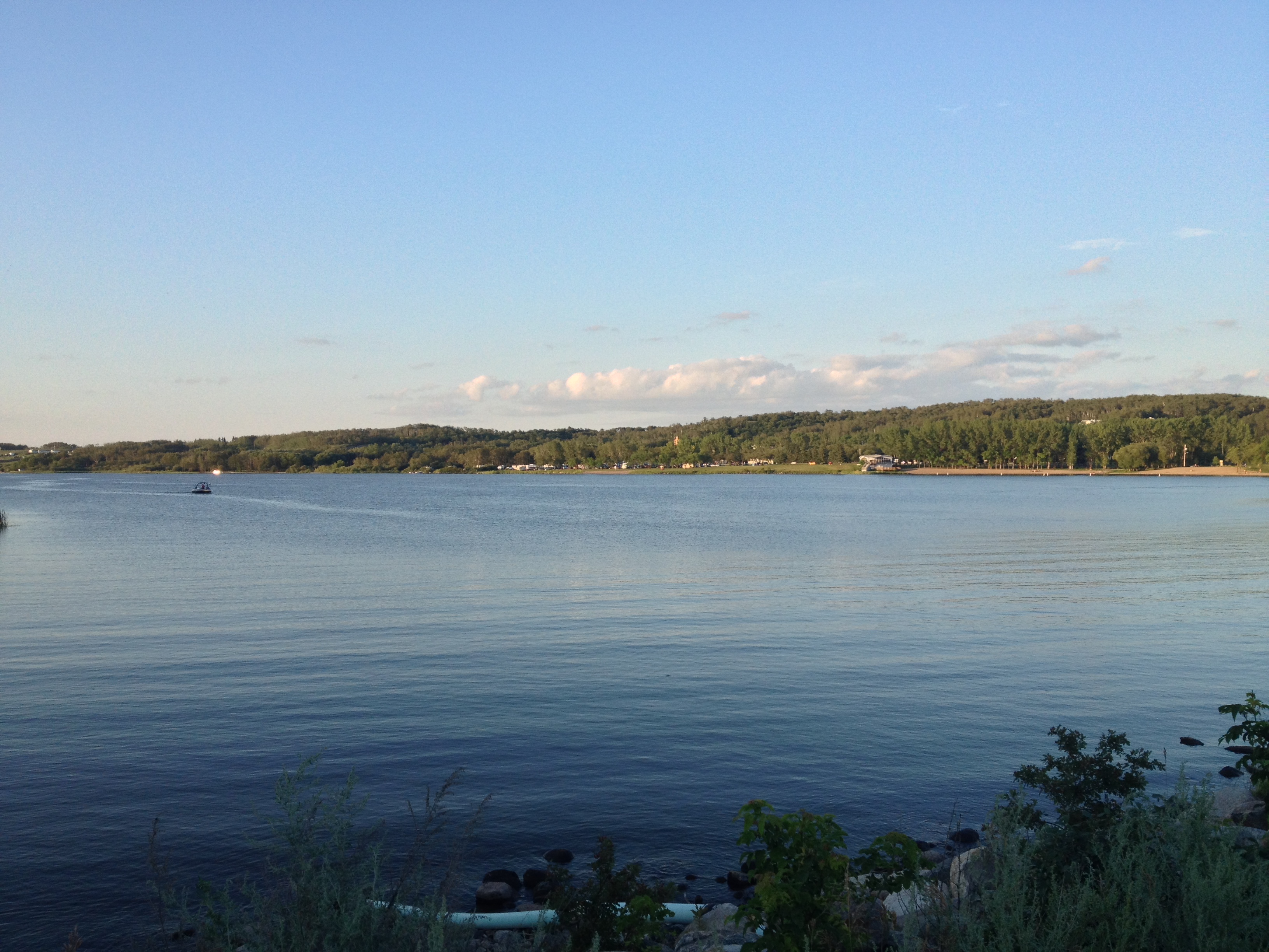
Winter Manitoba Creek
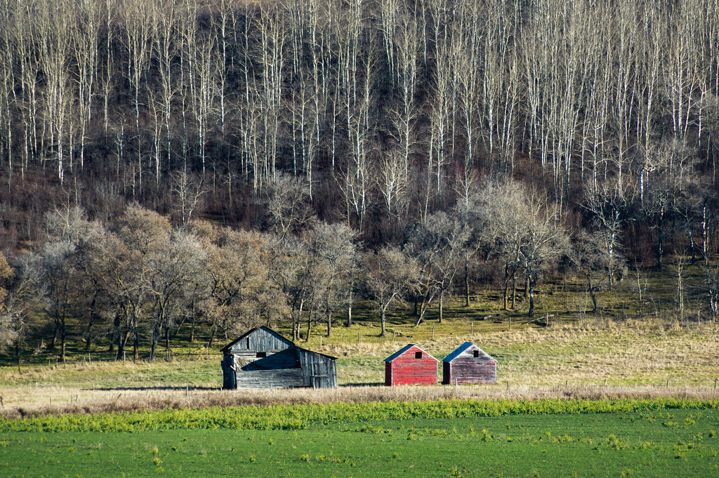
Farm Buildings
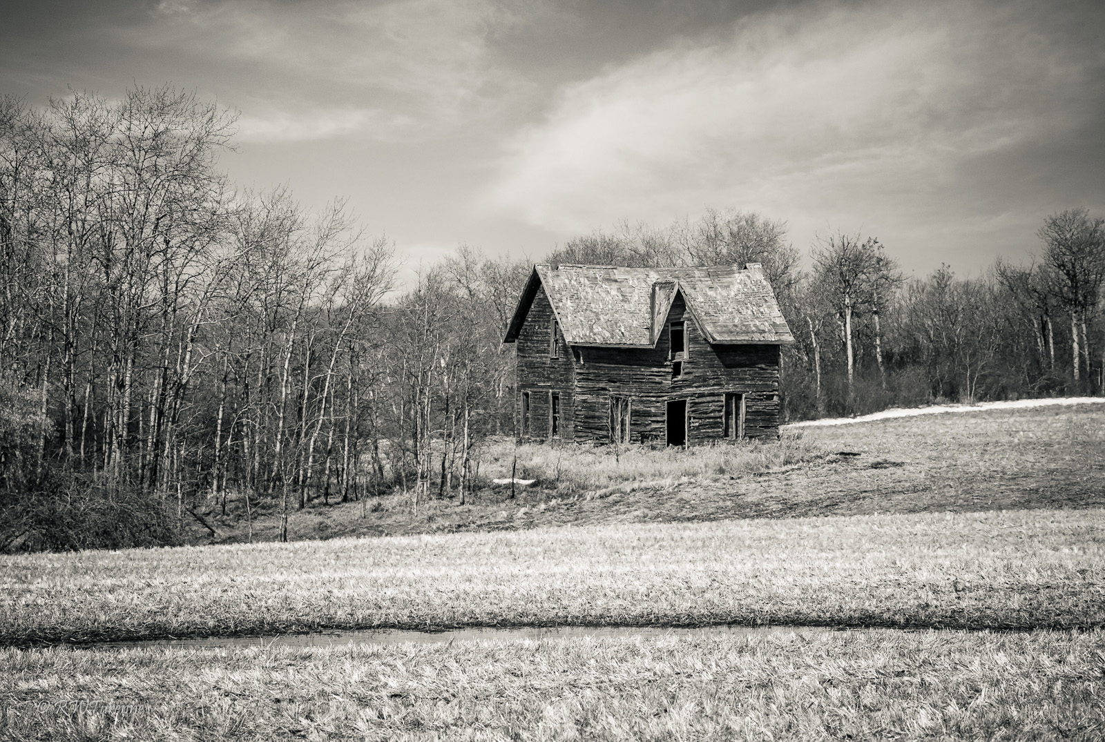
Old House
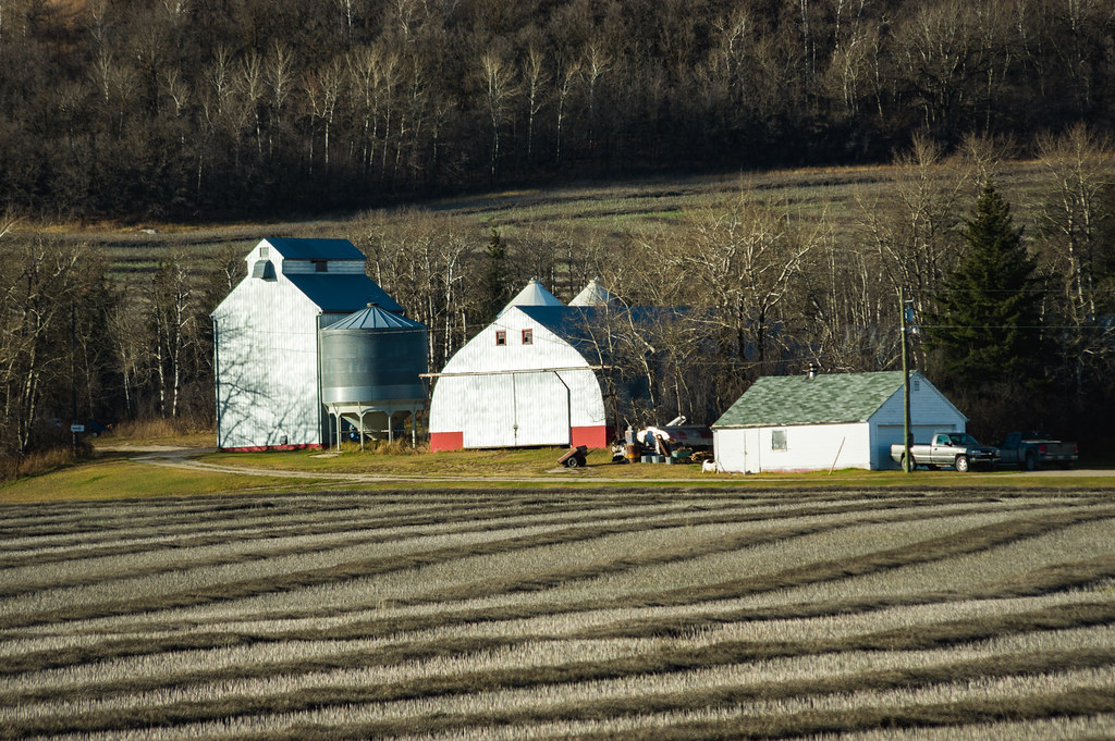
Farm Buildings
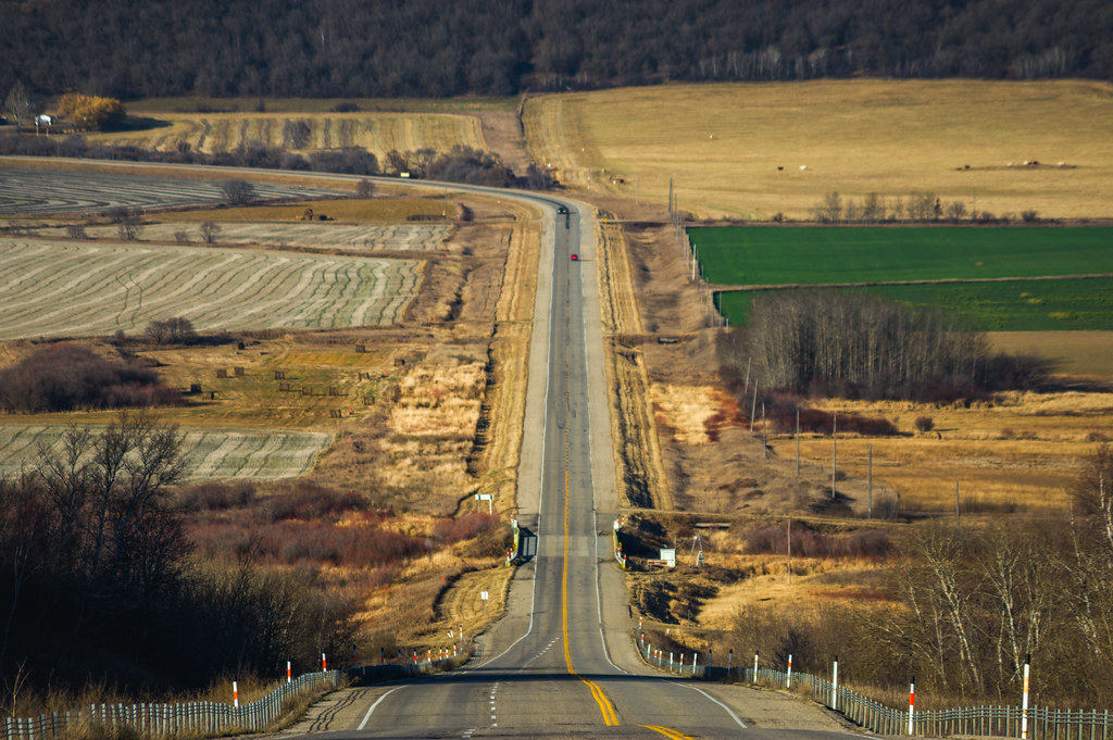
Highway 10
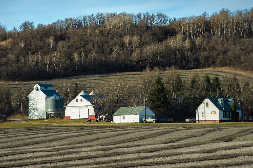
Farm Buildings
Minnedosa.
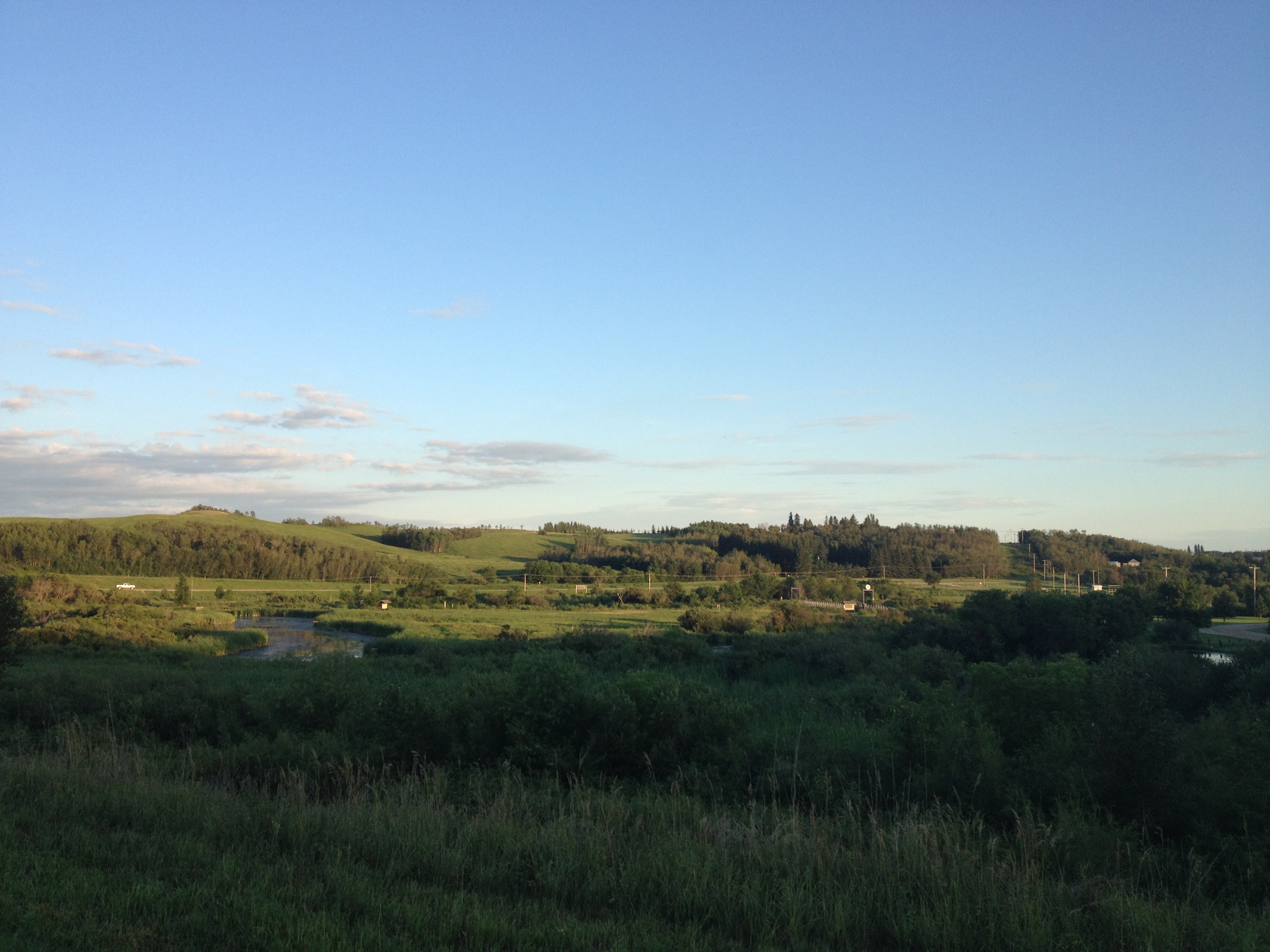
Minnedosa.
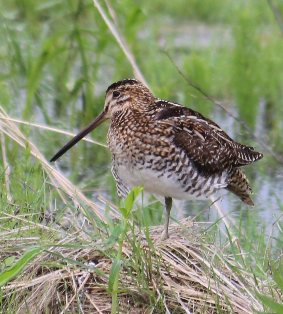
snipe 2
Topographic Map of Minnedosa, MB, Canada
Find elevation by address:

Places near Minnedosa, MB, Canada:
Odanah Farms Ltd.
Justice
Neepawa
22 Main St, Douglas, MB R0K 0R0, Canada
Chater
Cornwallis
Shilo
Aweme
MB-, Wawanesa, MB R0K 2G0, Canada
Oakland
Souris River
Norfolk St, Wawanesa, MB R0K 2G0, Canada
Treesbank
South Cypress
Stockton
Jordan St, Plumas, MB R0J 1P0, Canada
411 Duncan St
Glenboro
Lyall St, Glenboro, MB R0K 0X0, Canada
Road 70 West
Recent Searches:
- Elevation of Tenjo, Cundinamarca, Colombia
- Elevation of Côte-des-Neiges, Montreal, QC H4A 3J6, Canada
- Elevation of Bobcat Dr, Helena, MT, USA
- Elevation of Zu den Ihlowbergen, Althüttendorf, Germany
- Elevation of Badaber, Peshawar, Khyber Pakhtunkhwa, Pakistan
- Elevation of SE Heron Loop, Lincoln City, OR, USA
- Elevation of Slanický ostrov, 01 Námestovo, Slovakia
- Elevation of Spaceport America, Co Rd A, Truth or Consequences, NM, USA
- Elevation of Warwick, RI, USA
- Elevation of Fern Rd, Whitmore, CA, USA