Elevation of Oakdale Rd, Westmoreland, TN, USA
Location: United States > Tennessee > Sumner County > Westmoreland >
Longitude: -86.122801
Latitude: 36.565326
Elevation: 278m / 912feet
Barometric Pressure: 98KPa
Elevation Map:
Satellite Map:
Related Photos:

3M7, Lafayette, Tennessee - final approach for runway 19
Lafayette, Macon County, Tennessee
Lafayette, Macon County, Tennessee

Macon County, TN Courthouse - Lafayette, TN

Steps of Water: Union Camp Falls

Union Camp Falls

Taylor Hollow State Natural Area - April 13, 2013

Taylor Hollow State Natural Area - April 13, 2013

Taylor Hollow State Natural Area - April 13, 2013

Pilar's pets

Blue-Eyed Mary

Taylor Hollow State Natural Area - April 13, 2013

Jackie & Pisco
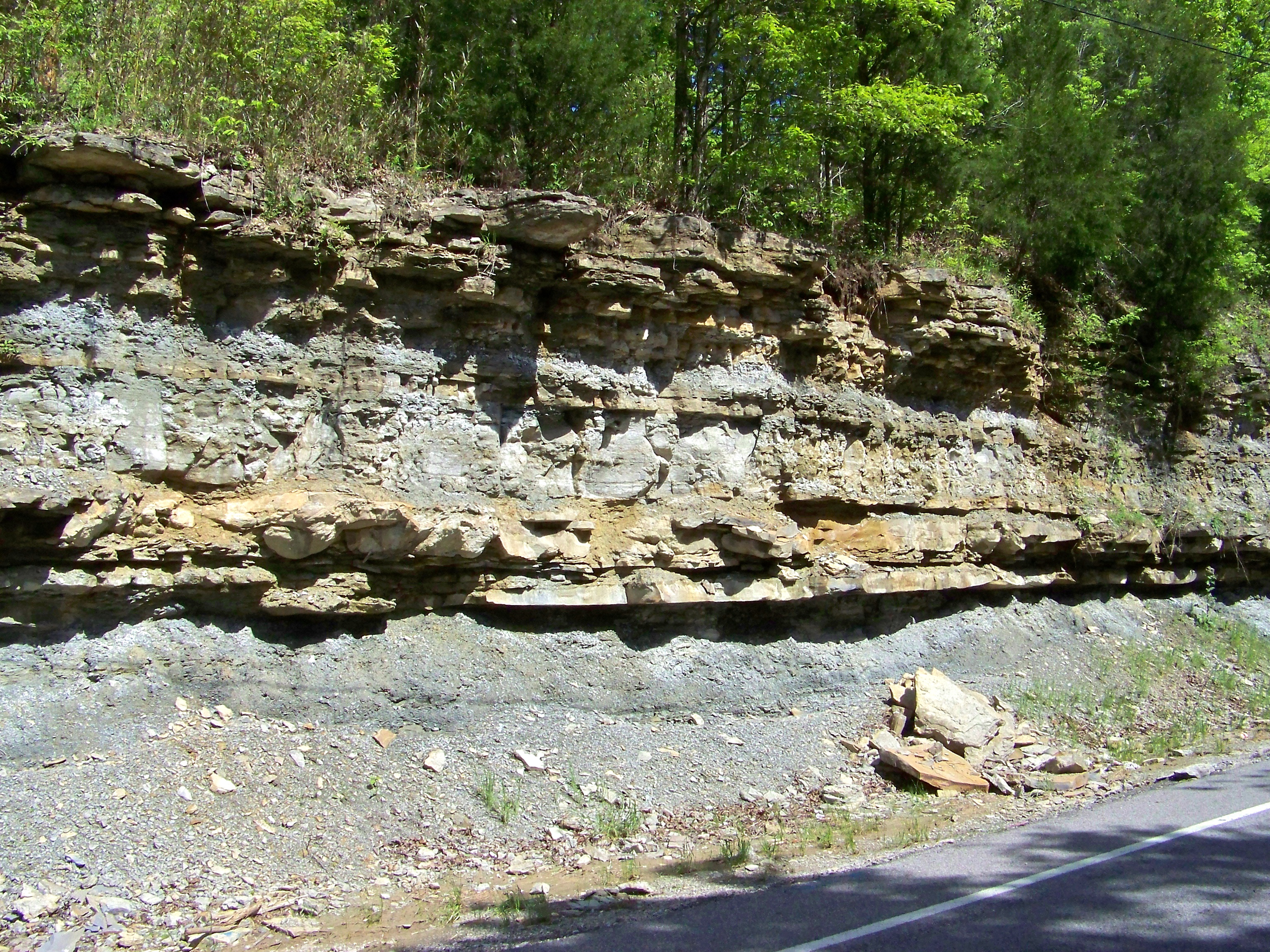
Road Cut
Topographic Map of Oakdale Rd, Westmoreland, TN, USA
Find elevation by address:

Places near Oakdale Rd, Westmoreland, TN, USA:
1890 Hirestown Rd
6424 N Long Creek Rd
4538 Rocky Mound Rd
Long Creek Rd, Lafayette, TN, USA
5722 Hauskins Ln
Rocky Mound Rd, Westmoreland, TN, USA
Westmoreland, TN, USA
420 Henry Harris Rd
Adolphus
State Highway 3500
1105 Gaines Hill Rd
Luby Brown Rd, Westmoreland, TN, USA
214 Maysville Rd
Ada Coats Road
State Hwy 98, Scottsville, KY, USA
Scottsville
Hagan Cir, Lafayette, TN, USA
Allen County
Nubia Rd, Westmoreland, TN, USA
2915 Oak Grove Church Rd
Recent Searches:
- Elevation of Tenjo, Cundinamarca, Colombia
- Elevation of Côte-des-Neiges, Montreal, QC H4A 3J6, Canada
- Elevation of Bobcat Dr, Helena, MT, USA
- Elevation of Zu den Ihlowbergen, Althüttendorf, Germany
- Elevation of Badaber, Peshawar, Khyber Pakhtunkhwa, Pakistan
- Elevation of SE Heron Loop, Lincoln City, OR, USA
- Elevation of Slanický ostrov, 01 Námestovo, Slovakia
- Elevation of Spaceport America, Co Rd A, Truth or Consequences, NM, USA
- Elevation of Warwick, RI, USA
- Elevation of Fern Rd, Whitmore, CA, USA