Elevation of NW th Ln, Mindenmines, MO, USA
Location: United States > Missouri > Barton County > Ozark Township > Mindenmines >
Longitude: -94.615614
Latitude: 37.5601373
Elevation: 271m / 889feet
Barometric Pressure: 98KPa
Elevation Map:
Satellite Map:
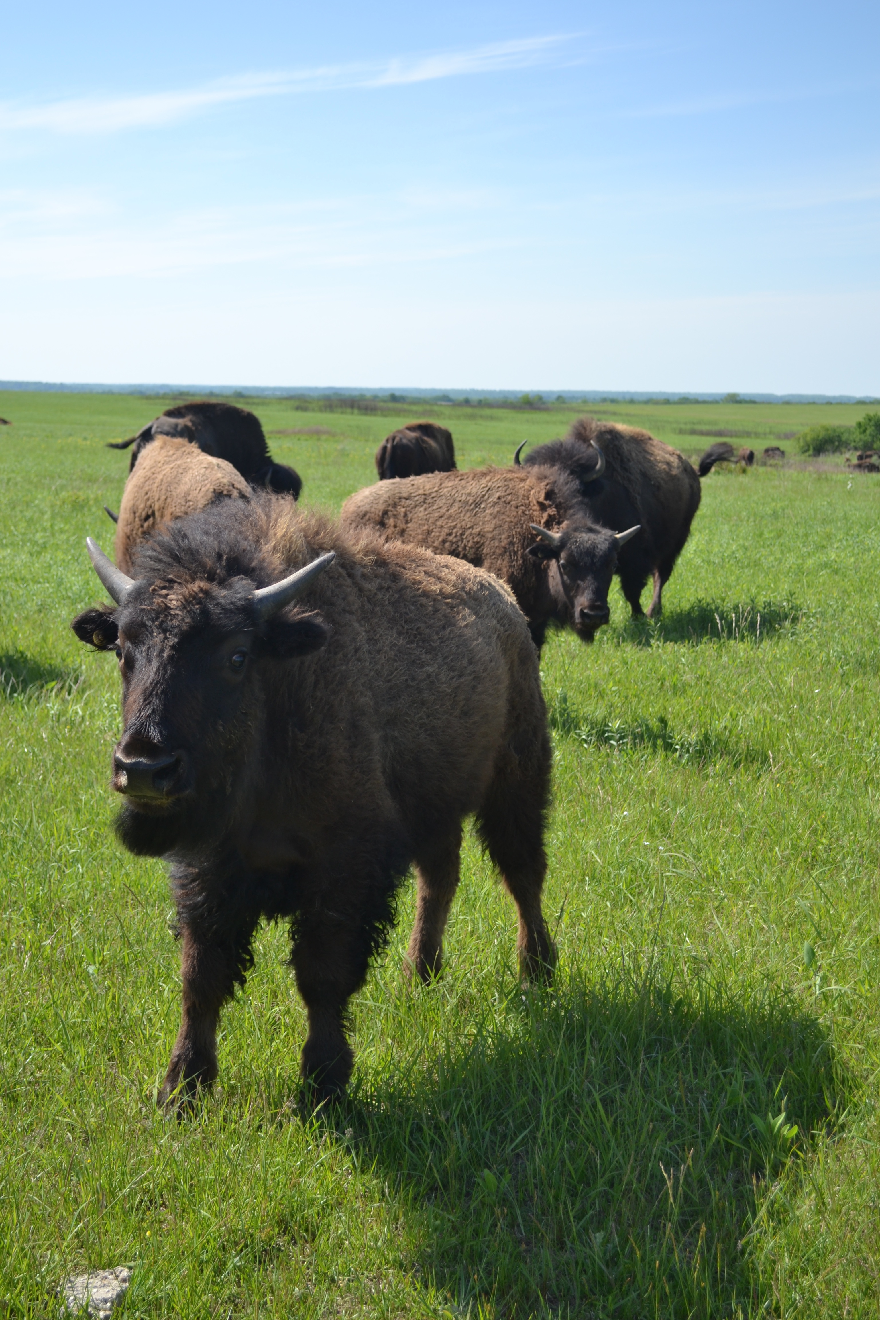
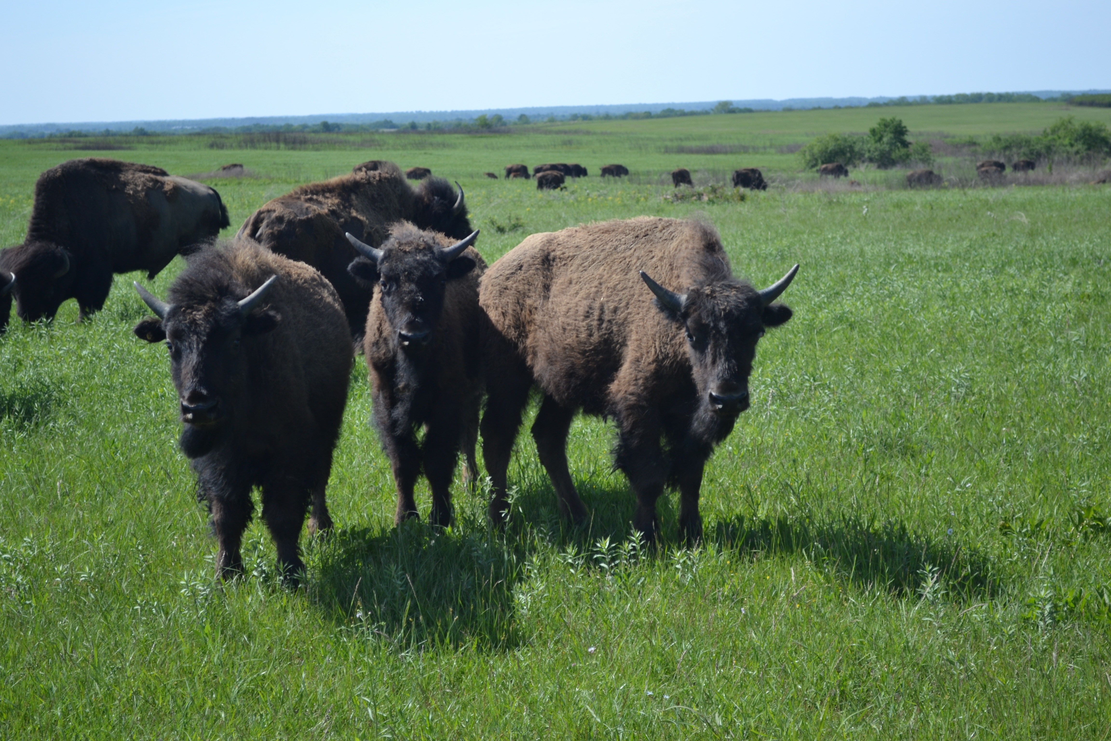
Related Photos:

NW 30th Road - Deck View

140517-02 (2014-05-17) - 0166
140517-02 (2014-05-17) - 0169

Barton County Misssouri 7/3/15
140517-02 (2014-05-17) - 0161

Flags in Wind

Breezy Hill Sunset

Country Road & Field

American Lady

Old Cellar

Old Cellar

Old Cellar

Old House

House and Barns

Lester r Davis Forrest

206/365 Argh where was my 70-300mm

Rural Crawford County Kansas

House and Barns
2011-11-12_16-00-01_391

House and Barns
2011-11-12_16-18-17_952

Old Cellar
Topographic Map of NW th Ln, Mindenmines, MO, USA
Find elevation by address:

Places near NW th Ln, Mindenmines, MO, USA:
S Military, Mulberry, KS, USA
Mulberry
Mulberry Limestone Quarry
E Ave, Mulberry, KS, USA
E th Ave, Arcadia, KS, USA
Mindenmines
Washington
Lincoln
E th Ave, Arma, KS, USA
Frontenac
N Rouse Ave & E Atkinson Ave
N Rouse Ave & E Atkinson Ave
N Rouse Ave & E Atkinson Ave
E Radley Ave, Pittsburg, KS, USA
S th St, Pittsburg, KS, USA
490 S 170th St
Farlington, KS, USA
Crawford County
114 E 610th Ave
Girard
Recent Searches:
- Elevation of Congressional Dr, Stevensville, MD, USA
- Elevation of Bellview Rd, McLean, VA, USA
- Elevation of Stage Island Rd, Chatham, MA, USA
- Elevation of Shibuya Scramble Crossing, 21 Udagawacho, Shibuya City, Tokyo -, Japan
- Elevation of Jadagoniai, Kaunas District Municipality, Lithuania
- Elevation of Pagonija rock, Kranto 7-oji g. 8"N, Kaunas, Lithuania
- Elevation of Co Rd 87, Jamestown, CO, USA
- Elevation of Tenjo, Cundinamarca, Colombia
- Elevation of Côte-des-Neiges, Montreal, QC H4A 3J6, Canada
- Elevation of Bobcat Dr, Helena, MT, USA