Elevation of S Military, Mulberry, KS, USA
Location: United States > Kansas > Crawford County > Mulberry >
Longitude: -94.621433
Latitude: 37.5565303
Elevation: 278m / 912feet
Barometric Pressure: 98KPa
Elevation Map:
Satellite Map:
Related Photos:

Hammer365: 181/184 Chicken Annie's Chicken

NW 30th Road - Deck View

Old Cellar

Old Cellar

Barton County Misssouri 7/3/15

Flags in Wind

Breezy Hill Sunset

Old Cellar

Prairie State Park

Barton County Misssouri 7/3/15

Country Road & Field

Old Cellar

Old Cellar

Old Cellar

American Lady
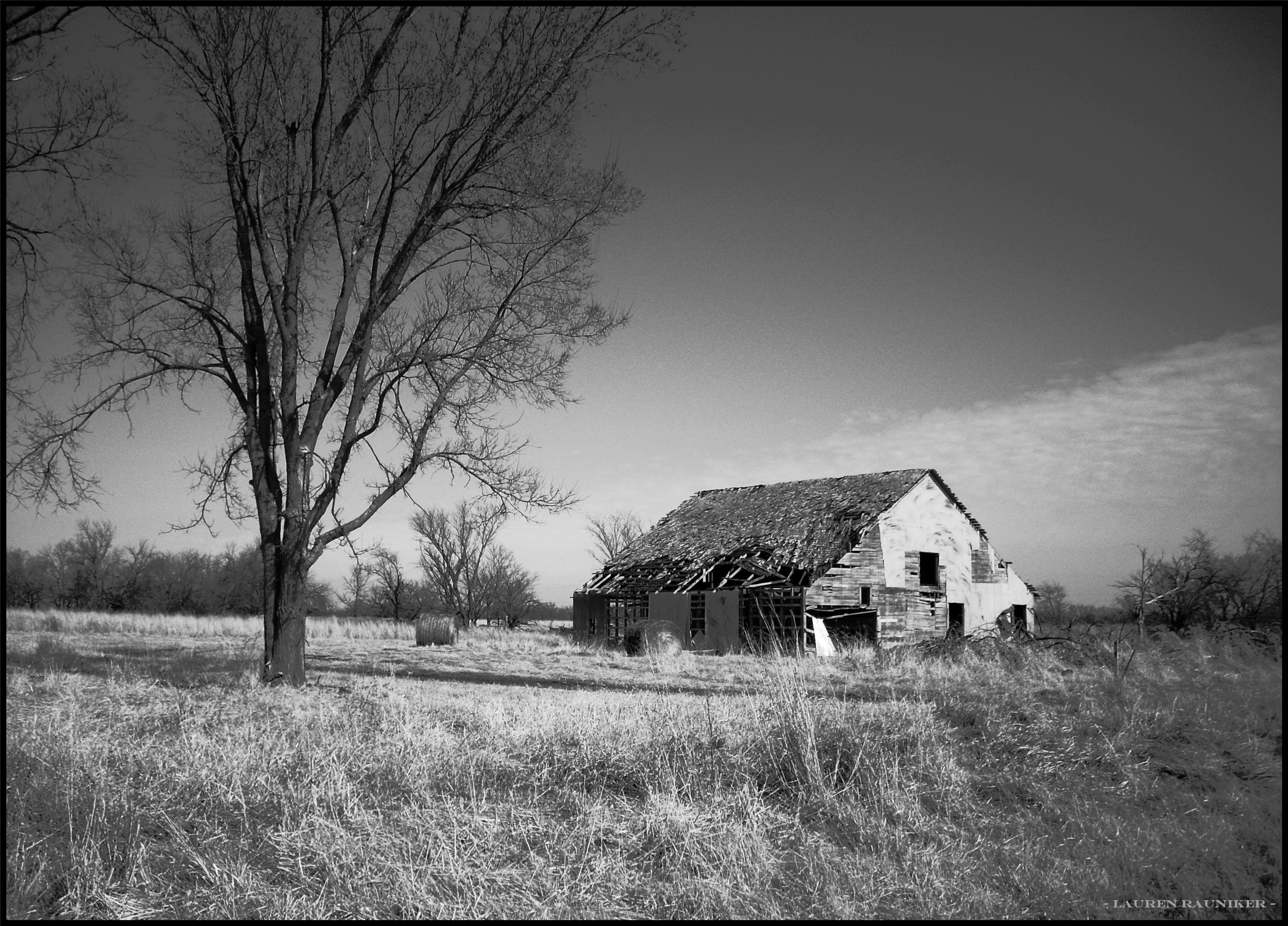
Old Rikity Barn

Lester r Davis Forrest

Windfall Charlie's Place

DeVore, Edith

House and Barns

Prairie State Park in Spring

Prairie State Park in Spring

Country Road & Field
Topographic Map of S Military, Mulberry, KS, USA
Find elevation by address:

Places near S Military, Mulberry, KS, USA:
Mulberry
378 Nw 176th Ln
Mulberry Limestone Quarry
E Ave, Mulberry, KS, USA
E th Ave, Arcadia, KS, USA
Mindenmines
Washington
Lincoln
E th Ave, Arma, KS, USA
Frontenac
N Rouse Ave & E Atkinson Ave
N Rouse Ave & E Atkinson Ave
N Rouse Ave & E Atkinson Ave
E Radley Ave, Pittsburg, KS, USA
S th St, Pittsburg, KS, USA
490 S 170th St
Farlington, KS, USA
Crawford County
114 E 610th Ave
Girard
Recent Searches:
- Elevation of Rojo Ct, Atascadero, CA, USA
- Elevation of Flagstaff Drive, Flagstaff Dr, North Carolina, USA
- Elevation of Avery Ln, Lakeland, FL, USA
- Elevation of Woolwine, VA, USA
- Elevation of Lumagwas Diversified Farmers Multi-Purpose Cooperative, Lumagwas, Adtuyon, RV32+MH7, Pangantucan, Bukidnon, Philippines
- Elevation of Homestead Ridge, New Braunfels, TX, USA
- Elevation of Orchard Road, Orchard Rd, Marlborough, NY, USA
- Elevation of 12 Hutchinson Woods Dr, Fletcher, NC, USA
- Elevation of Holloway Ave, San Francisco, CA, USA
- Elevation of Norfolk, NY, USA