Elevation of E th Ave, Arma, KS, USA
Location: United States > Kansas > Crawford County > Lincoln >
Longitude: -94.726668
Latitude: 37.5938246
Elevation: 294m / 965feet
Barometric Pressure: 98KPa
Elevation Map:
Satellite Map:
Related Photos:

Hammer365: 181/184 Chicken Annie's Chicken

NW 30th Road - Deck View

Breezy Hill Sunset

Flags in Wind

Old Cellar

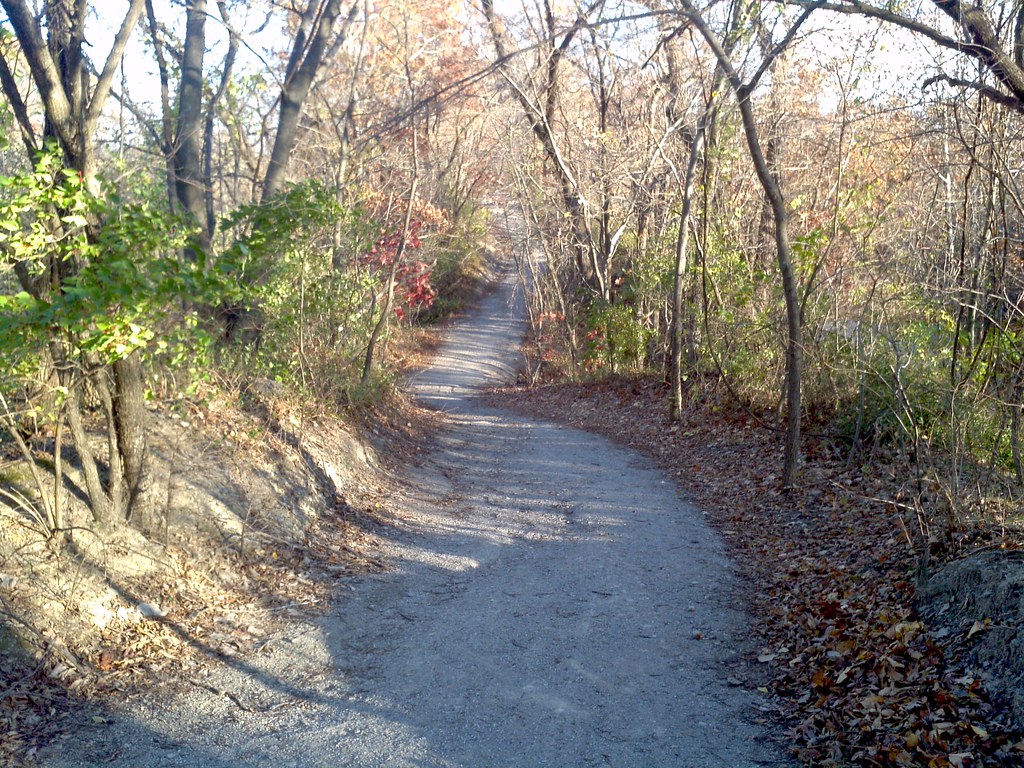
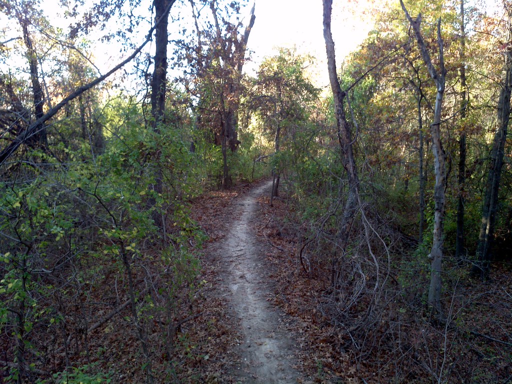
Country Road & Field

Old Cellar

Old Cellar

Old Cellar

Old Cellar
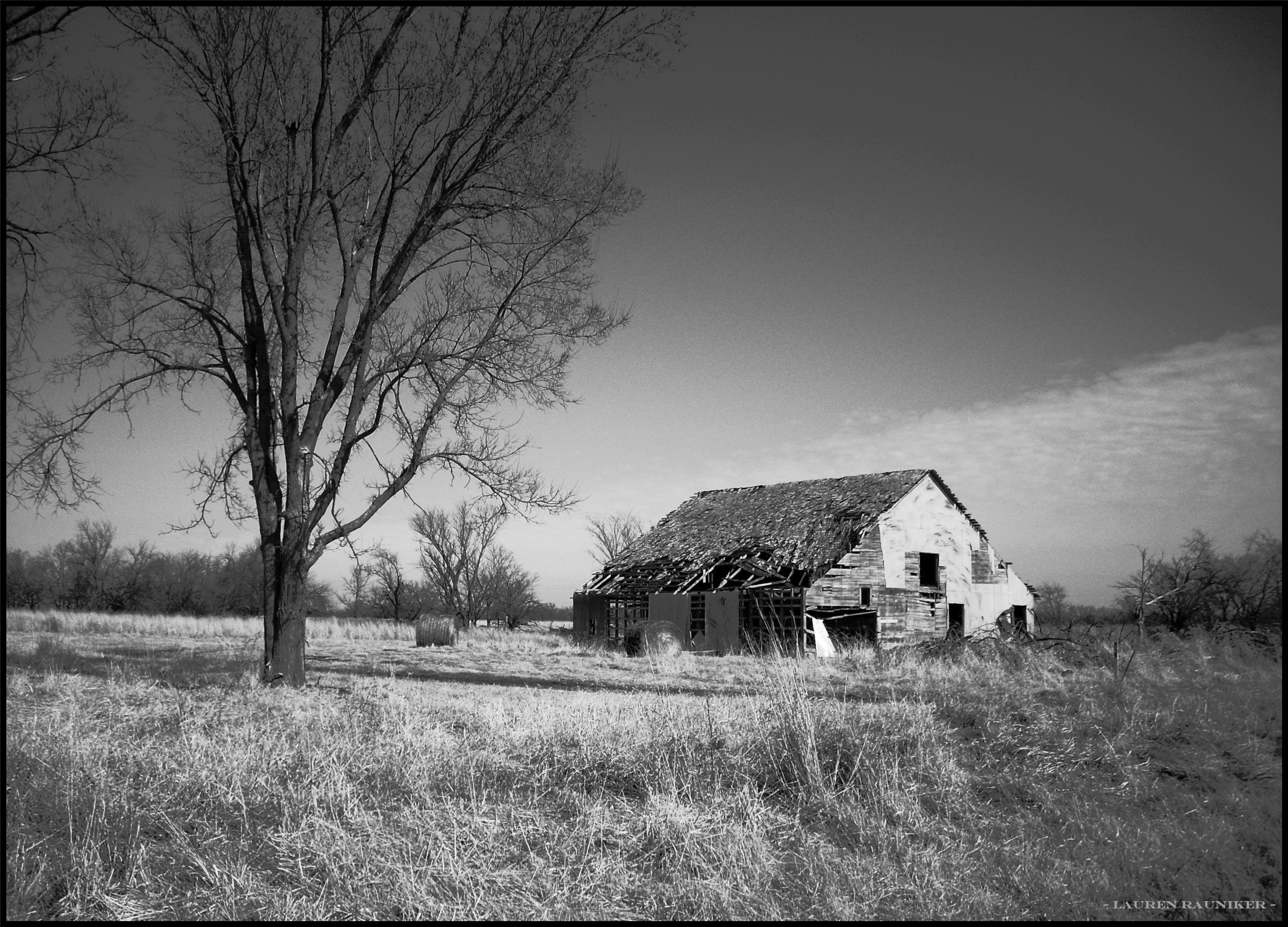
Old Rikity Barn

Old Cellar

Country Road & Field

DeVore, Edith
2011-11-12_15-52-38_191

Country Road & Field

Old House

Old Cellar

Old Cellar

Old Cellar
2011-11-12_16-14-46_976

Henslow's Sparrow

Old Cellar
Topographic Map of E th Ave, Arma, KS, USA
Find elevation by address:

Places near E th Ave, Arma, KS, USA:
Lincoln
E th Ave, Arcadia, KS, USA
Washington
Farlington, KS, USA
Mulberry Limestone Quarry
Mulberry
S Military, Mulberry, KS, USA
E Radley Ave, Pittsburg, KS, USA
378 Nw 176th Ln
S th St, Pittsburg, KS, USA
E Ave, Mulberry, KS, USA
Girard
114 E 610th Ave
Frontenac
218 E Magnolia
Sherman
490 S 170th St
N Rouse Ave & E Atkinson Ave
N Rouse Ave & E Atkinson Ave
N Rouse Ave & E Atkinson Ave
Recent Searches:
- Elevation of Corso Fratelli Cairoli, 35, Macerata MC, Italy
- Elevation of Tallevast Rd, Sarasota, FL, USA
- Elevation of 4th St E, Sonoma, CA, USA
- Elevation of Black Hollow Rd, Pennsdale, PA, USA
- Elevation of Oakland Ave, Williamsport, PA, USA
- Elevation of Pedrógão Grande, Portugal
- Elevation of Klee Dr, Martinsburg, WV, USA
- Elevation of Via Roma, Pieranica CR, Italy
- Elevation of Tavkvetili Mountain, Georgia
- Elevation of Hartfords Bluff Cir, Mt Pleasant, SC, USA