Elevation of Lincoln, KS, USA
Location: United States > Kansas > Crawford County >
Longitude: -94.7070616
Latitude: 37.6088797
Elevation: 293m / 961feet
Barometric Pressure: 0KPa
Related Photos:

Hammer365: 181/184 Chicken Annie's Chicken

NW 30th Road - Deck View

Breezy Hill Sunset

Flags in Wind

Old Cellar

Country Road & Field

Old Cellar

Old Cellar

Old Cellar

Old Cellar
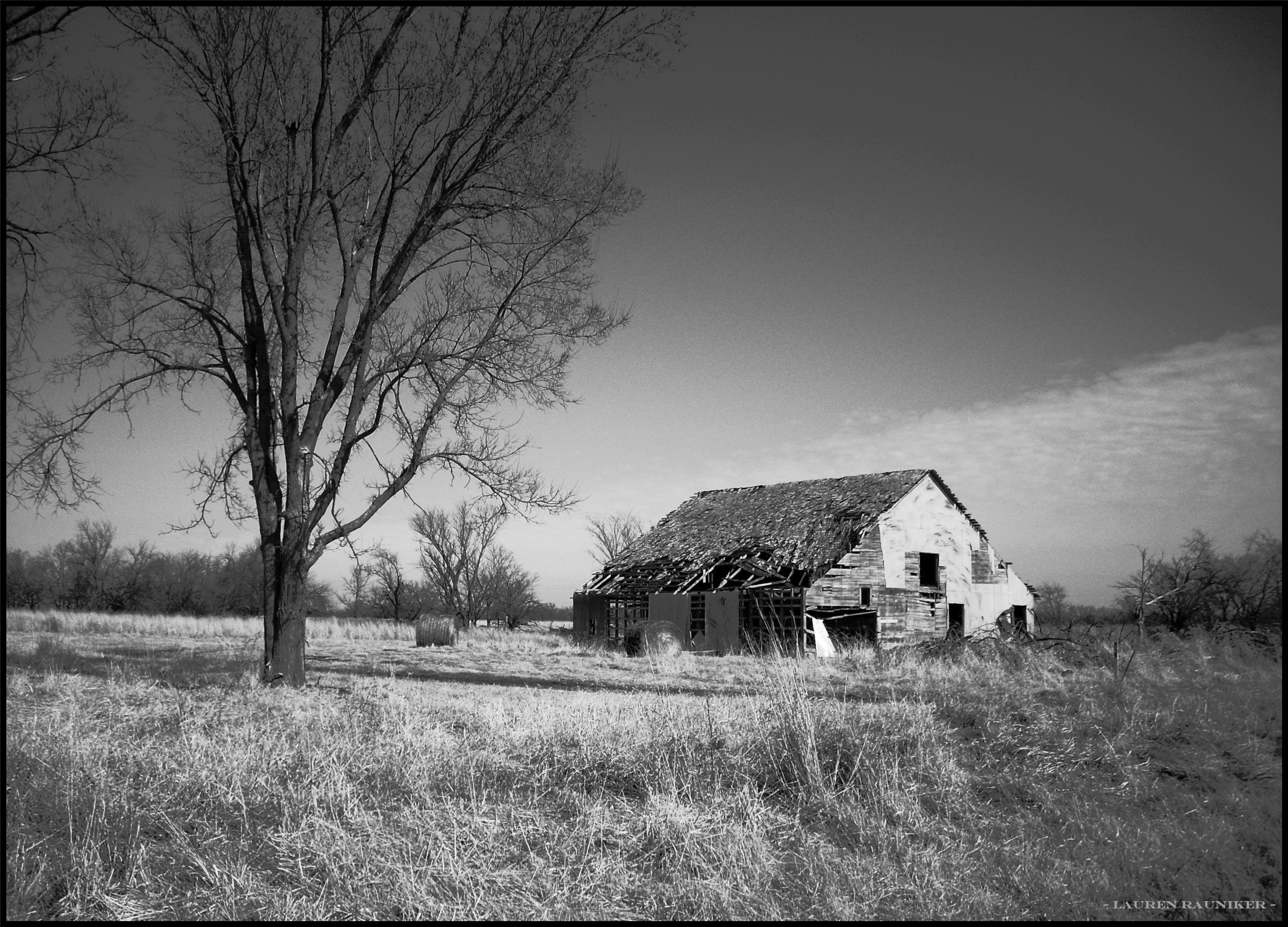
Old Rikity Barn

Old Cellar

Country Road & Field

DeVore, Edith

Country Road & Field

Old House

Old Cellar

Old Cellar

Old Cellar

Henslow's Sparrow

Old Cellar

Old Cellar

Old Cellar
Topographic Map of Lincoln, KS, USA
Find elevation by address:

Places in Lincoln, KS, USA:
Places near Lincoln, KS, USA:
E th Ave, Arma, KS, USA
E th Ave, Arcadia, KS, USA
Washington
Mulberry Limestone Quarry
Mulberry
S Military, Mulberry, KS, USA
378 Nw 176th Ln
Farlington, KS, USA
E Ave, Mulberry, KS, USA
E Radley Ave, Pittsburg, KS, USA
S th St, Pittsburg, KS, USA
Frontenac
Girard
114 E 610th Ave
Sherman
N Rouse Ave & E Atkinson Ave
N Rouse Ave & E Atkinson Ave
N Rouse Ave & E Atkinson Ave
218 E Magnolia
490 S 170th St
Recent Searches:
- Elevation map of Greenland, Greenland
- Elevation of Sullivan Hill, New York, New York, 10002, USA
- Elevation of Morehead Road, Withrow Downs, Charlotte, Mecklenburg County, North Carolina, 28262, USA
- Elevation of 2800, Morehead Road, Withrow Downs, Charlotte, Mecklenburg County, North Carolina, 28262, USA
- Elevation of Yangbi Yi Autonomous County, Yunnan, China
- Elevation of Pingpo, Yangbi Yi Autonomous County, Yunnan, China
- Elevation of Mount Malong, Pingpo, Yangbi Yi Autonomous County, Yunnan, China
- Elevation map of Yongping County, Yunnan, China
- Elevation of North 8th Street, Palatka, Putnam County, Florida, 32177, USA
- Elevation of 107, Big Apple Road, East Palatka, Putnam County, Florida, 32131, USA
- Elevation of Jiezi, Chongzhou City, Sichuan, China
- Elevation of Chongzhou City, Sichuan, China
- Elevation of Huaiyuan, Chongzhou City, Sichuan, China
- Elevation of Qingxia, Chengdu, Sichuan, China
- Elevation of Corso Fratelli Cairoli, 35, Macerata MC, Italy
- Elevation of Tallevast Rd, Sarasota, FL, USA
- Elevation of 4th St E, Sonoma, CA, USA
- Elevation of Black Hollow Rd, Pennsdale, PA, USA
- Elevation of Oakland Ave, Williamsport, PA, USA
- Elevation of Pedrógão Grande, Portugal