Elevation of NW Snokomo Frontage Rd, Paxico, KS, USA
Location: United States > Kansas > Wabaunsee County > Newbury > Paxico >
Longitude: -96.155844
Latitude: 39.0609922
Elevation: 322m / 1056feet
Barometric Pressure: 98KPa
Elevation Map:
Satellite Map:
Related Photos:

"EMAW" on a KU sign on I-70, 5 Dec 2009

I-70 Traffic after sunset (10 sec), 4 May 2017

Flint Hills Sunrise, Panorama, 9 May 2009

Old Bicycles

Sunset in the Flint Hills, Pano, 4 May 2017

Wedding view
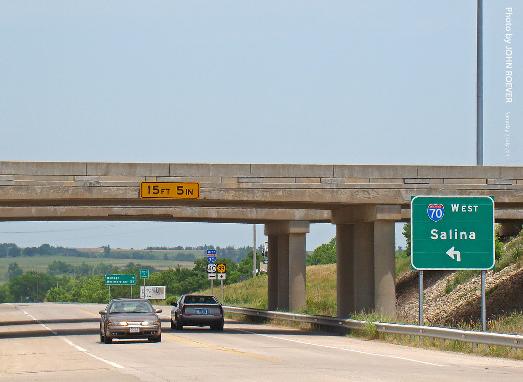
I-70/K-99 interchange, 2 July 2011

Kansas plains

Guard of the Plains

View of Jeffrey Energy Center, 31 Mar 2015
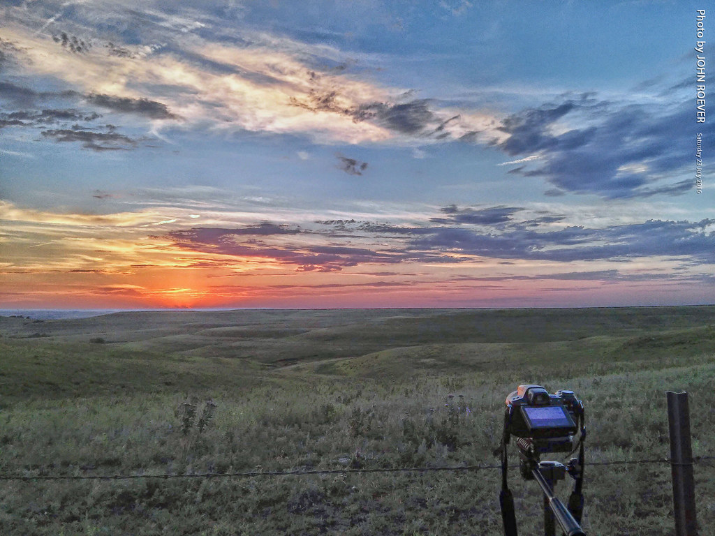
Prepping camera for Flint Hills sunset pic, 23 July 2016

The Flint Hills

Kansas Farmland

2009-08-06T19-08-18 -- DSC_0125

Flint Hill's

What I always imagined Kansas should look like #kansas #eclipse #roadtrip #stormy #wizardofoz #eclipse2017

Power Lines in Flint Hills, 6 July 2016

IMG-1574

Flint Hills at Sunset, 6 July 2016
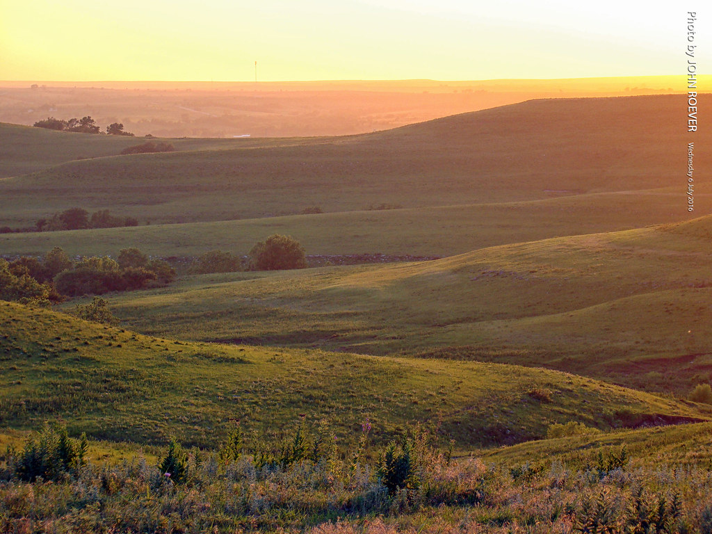
Flint Hills at Sunset, 6 July 2016

Flint Hills Pastures Panorama
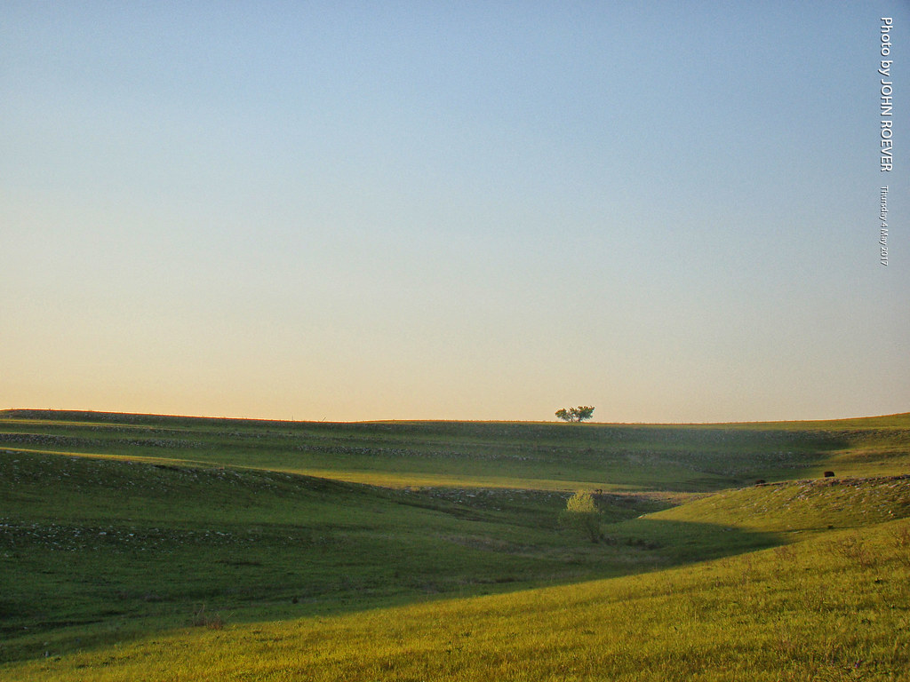
Solitary tree in Flint Hills, 4 May 2017

Cold Kansas morning on the Kaw River

Road Trip Photos

Ranch Tracks in the Flint Hills

Evening Storm Skyline Drive

Kestrel on the Flint Hills

Evening in the Flint Hills, 4 May 2017

Before Sunset in the Flint Hills, 4 May 2017

United States, Dec 11, 2008
Topographic Map of NW Snokomo Frontage Rd, Paxico, KS, USA
Find elevation by address:

Places near NW Snokomo Frontage Rd, Paxico, KS, USA:
Paxico
Newbury
Buffalo Mound
Pierce Street & 6th Street
Maple Hill
Maple Hill
4th St, Maple Hill, KS, USA
Alma
Wabaunsee County
103 Park Ave
Broadway St, Belvue, KS, USA
Belvue
Saint Marys
W Bertrand Ave, St Marys, KS, USA
Wabaunsee
200 E Mission St
Alma
606 N 6th St
Mount Mitchell Road
606 N 5th St #6
Recent Searches:
- Elevation of E 63rd St, New York, NY, USA
- Elevation of Elk City, OK, USA
- Elevation of Erika Dr, Windsor, CA, USA
- Elevation of Village Ln, Finleyville, PA, USA
- Elevation of 24 Oakland Rd #, Scotland, ON N0E 1R0, Canada
- Elevation of Deep Gap Farm Rd E, Mill Spring, NC, USA
- Elevation of Dog Leg Dr, Minden, NV, USA
- Elevation of Dog Leg Dr, Minden, NV, USA
- Elevation of Kambingan Sa Pansol Atbp., Purok 7 Pansol, Candaba, Pampanga, Philippines
- Elevation of Pinewood Dr, New Bern, NC, USA