Elevation of Newport Rd, Clarksburg, PA, USA
Location: United States > Pennsylvania > Indiana County > Conemaugh Township >
Longitude: -79.321456
Latitude: 40.509586
Elevation: 403m / 1322feet
Barometric Pressure: 97KPa
Elevation Map:
Satellite Map:
Related Photos:
My Front Porch View
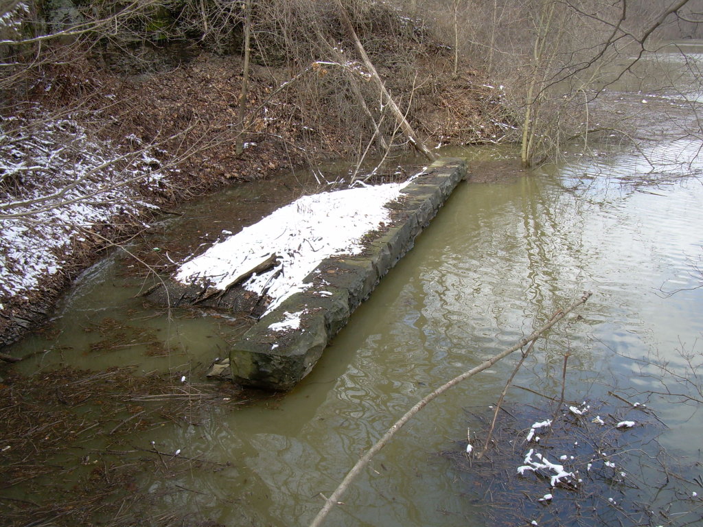
1854 Bridge Piers
Bridge #2 and Bow Ridge
View from Bridge #2
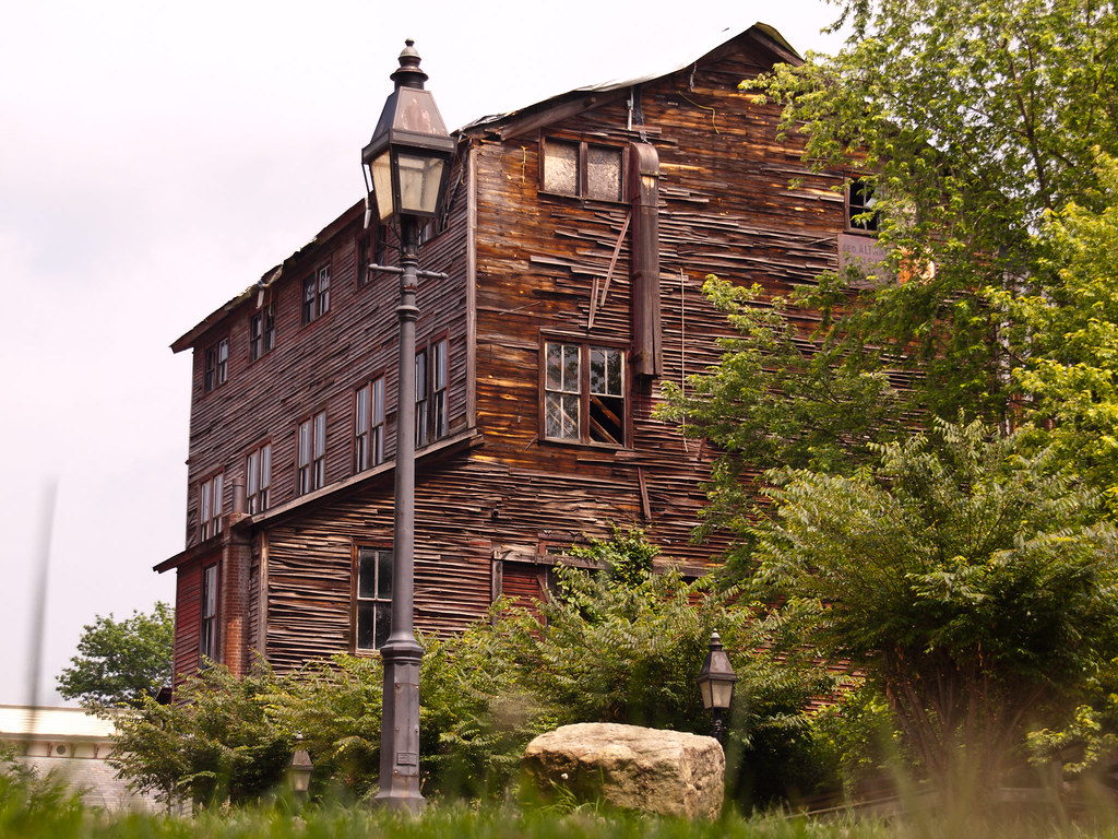
Altman Feed Mill
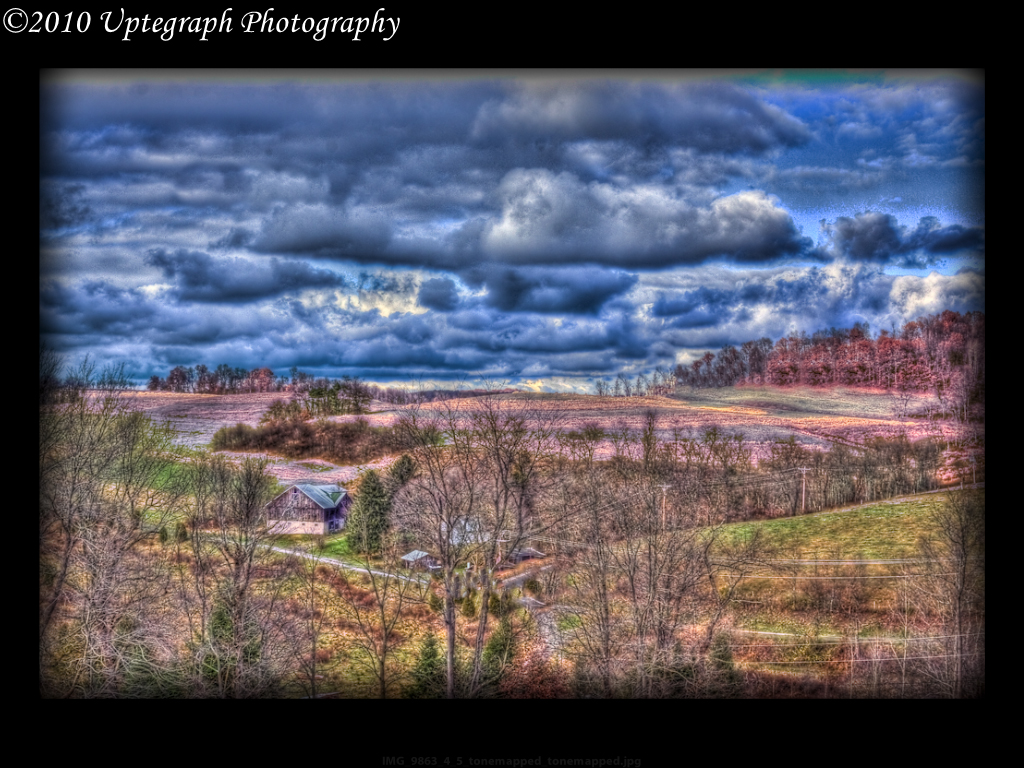
Keystone Lake State Park
22W: It's a Jungle Out There
Glass and Green
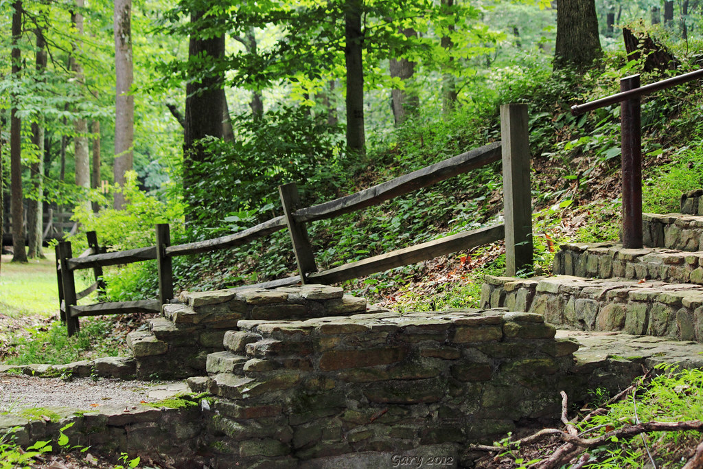
Stairway to Heaven......?
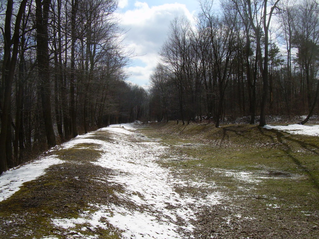
Pennsylvania Mainline Canal
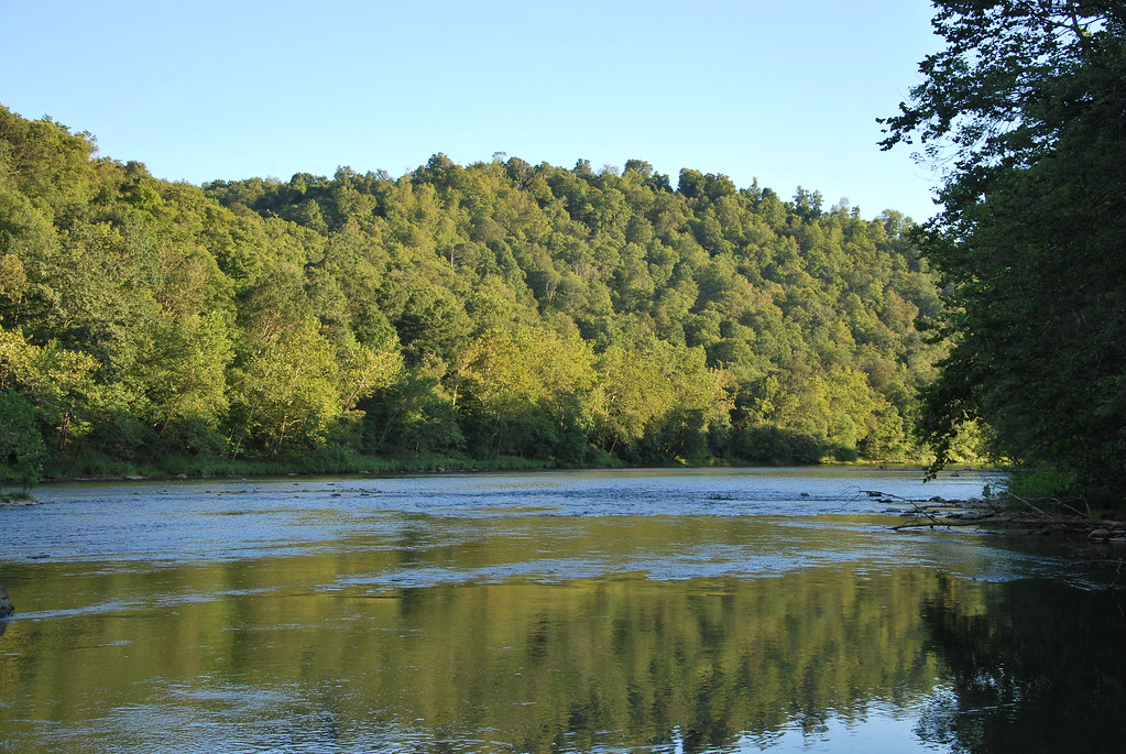
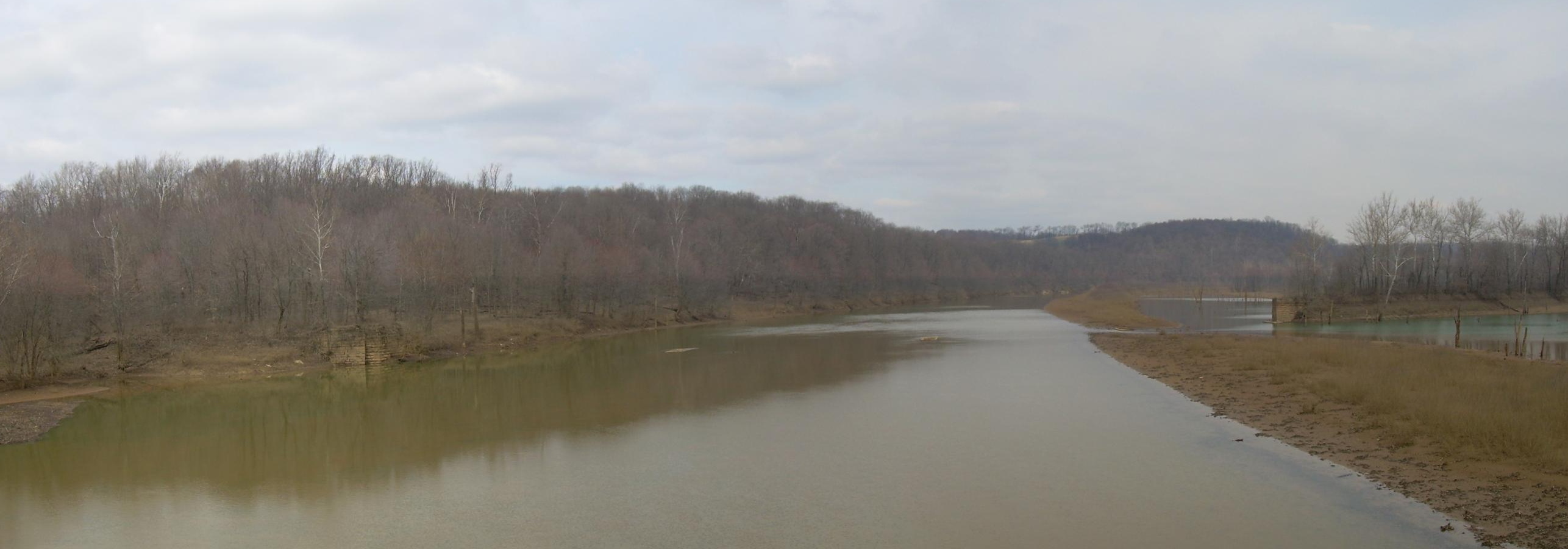
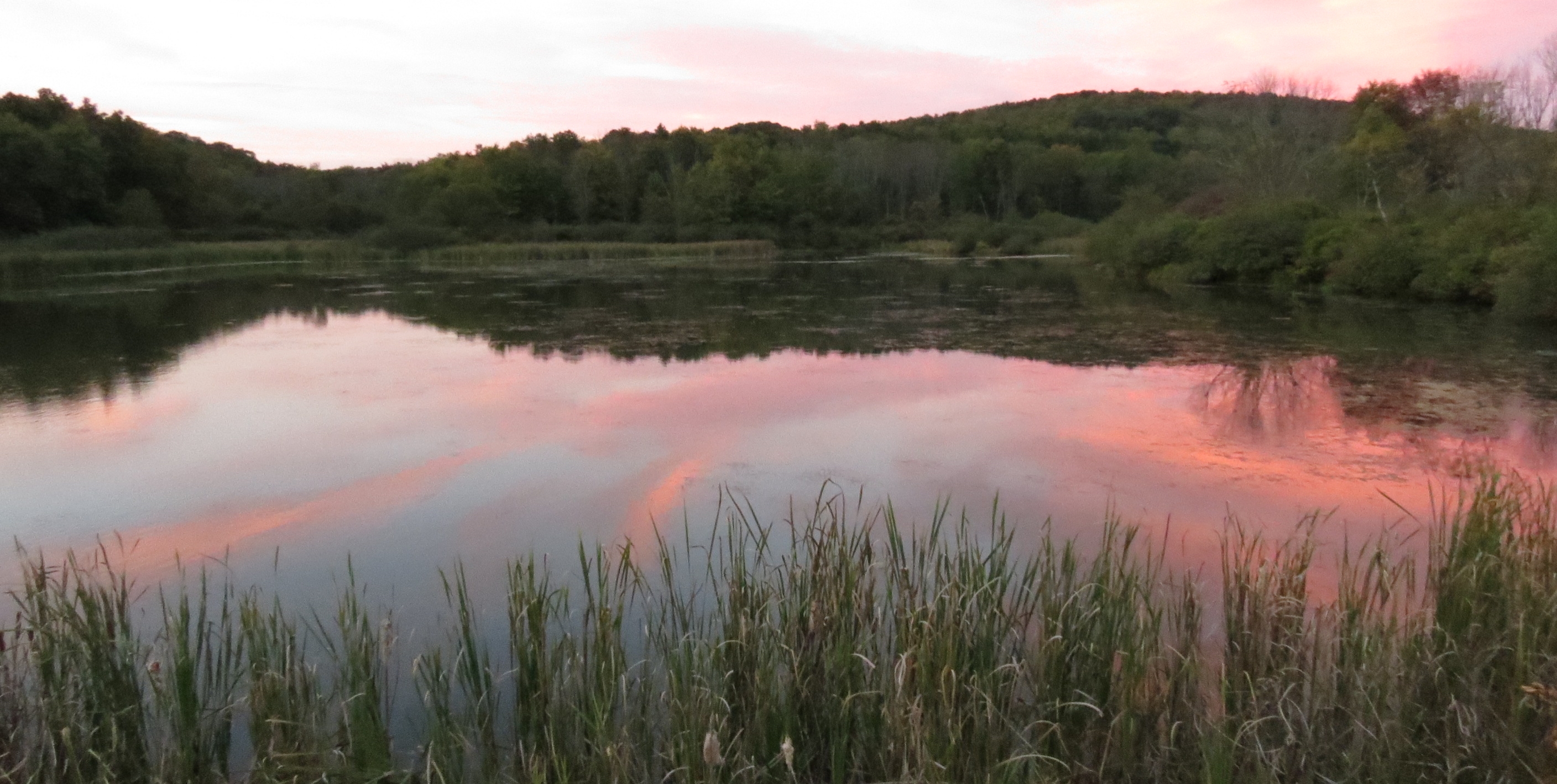
Conemaugh River
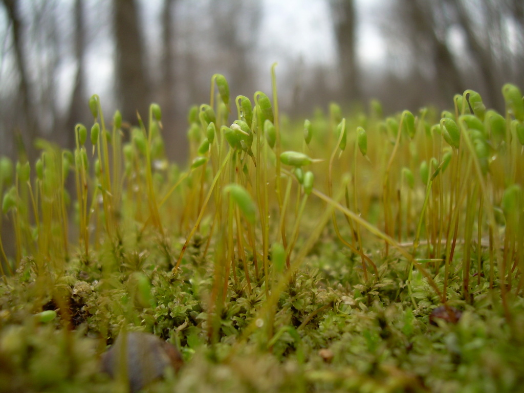
Springtime Moss
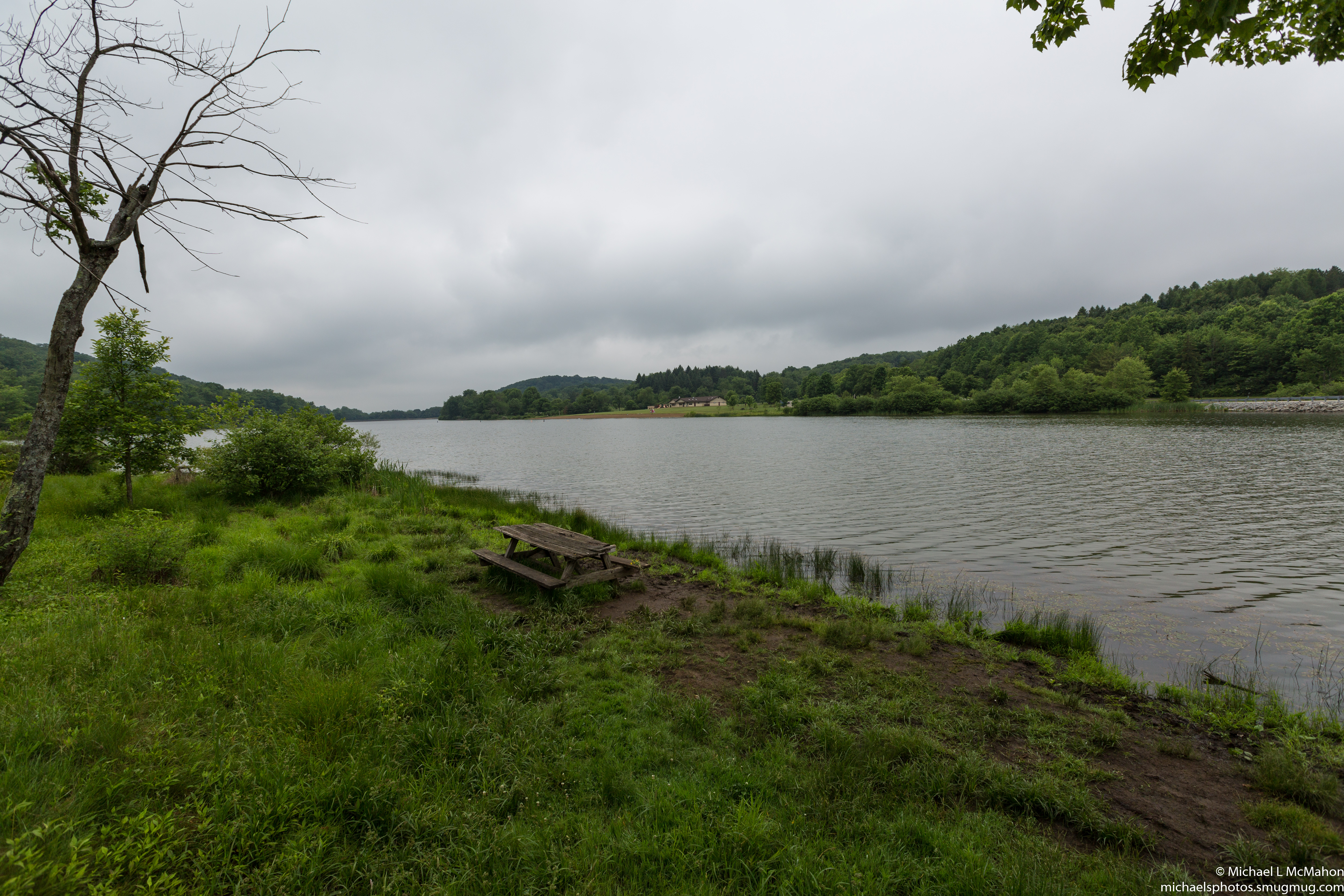
Keystone State Park

The Old Shady Pain School House

Former Bridge
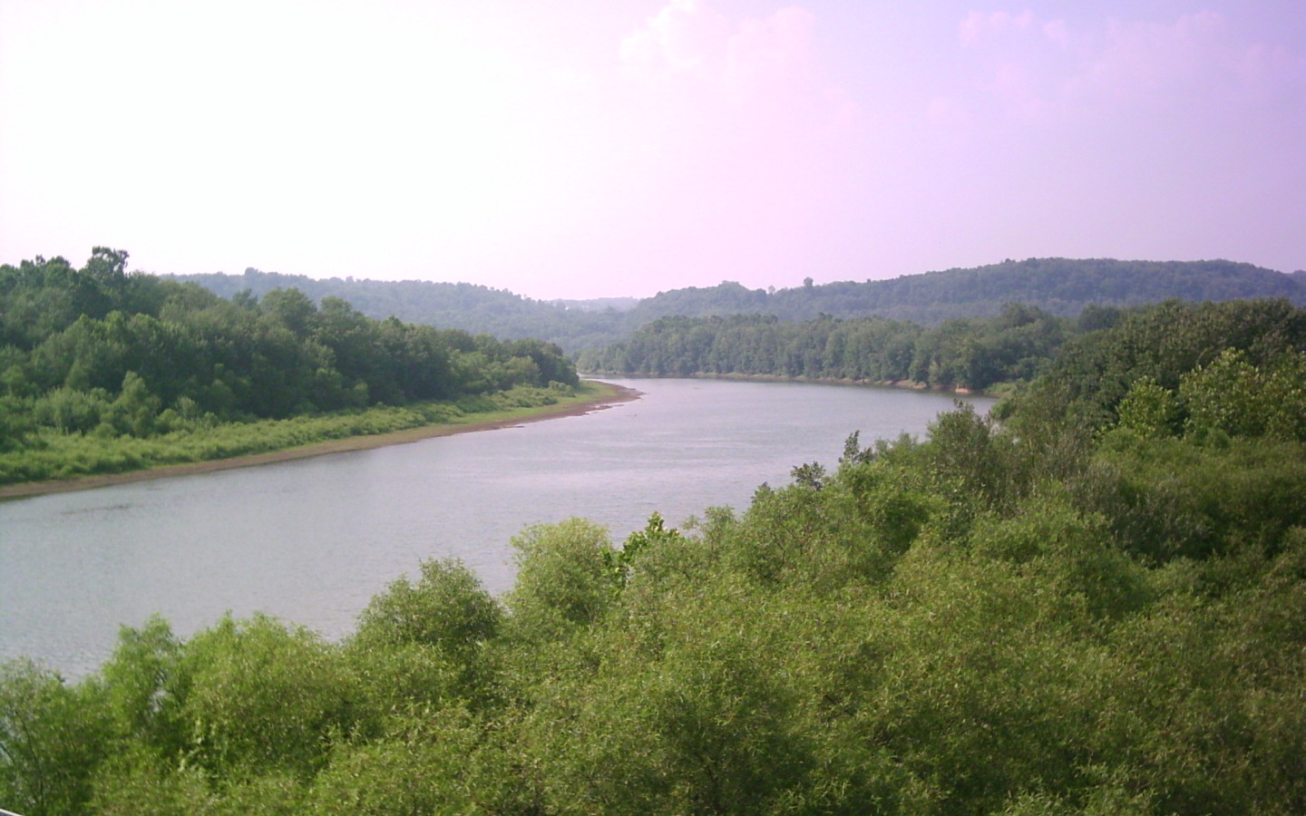
Conemaugh River
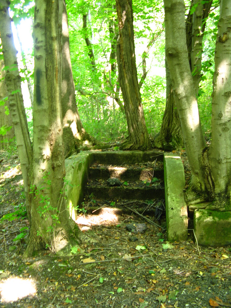
stairway in the woods
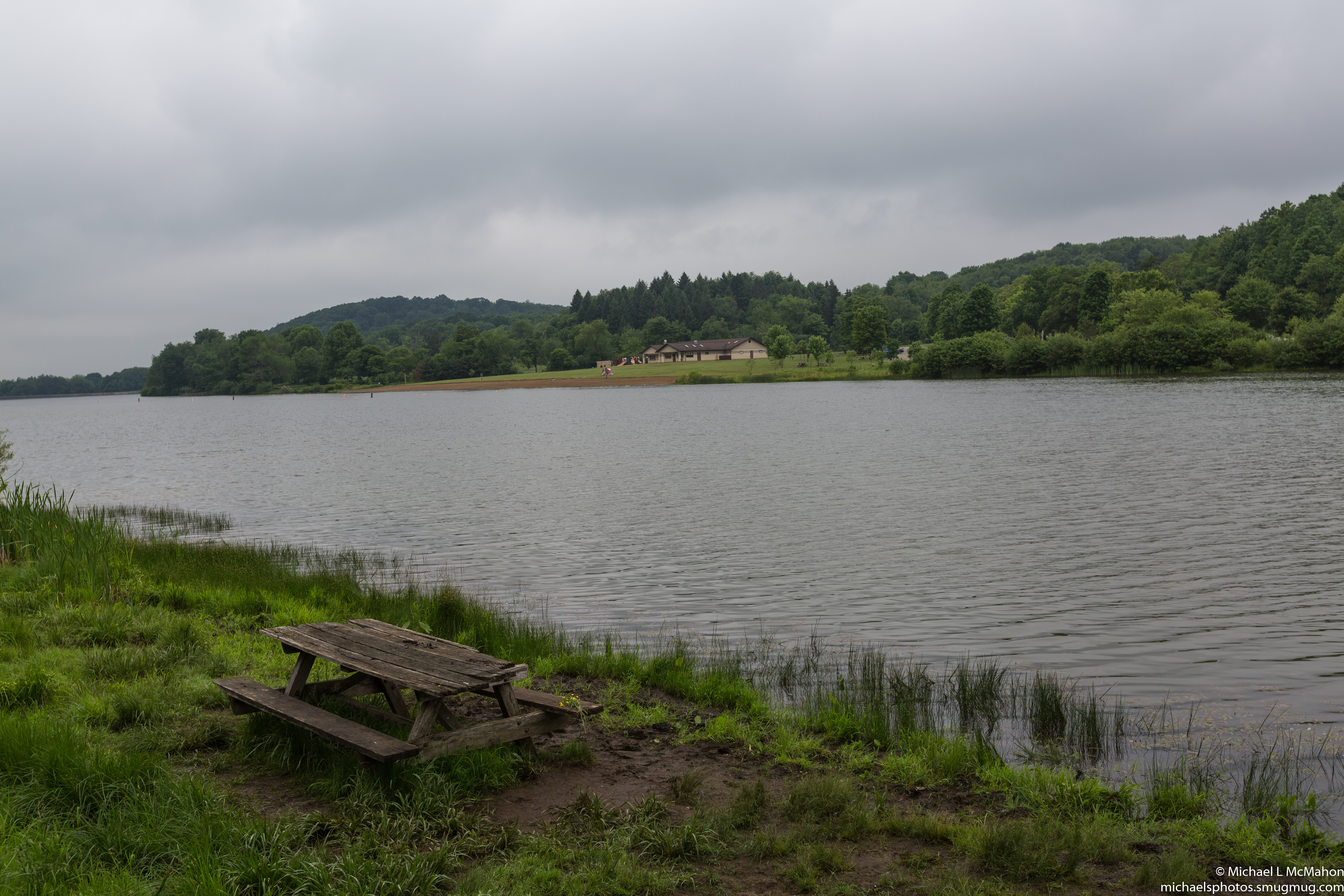
Keystone State Park
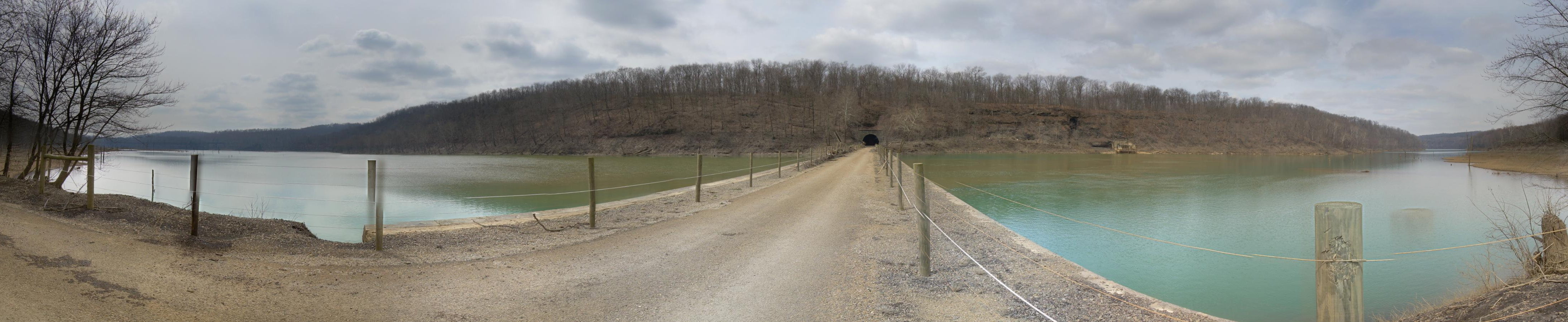
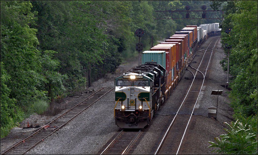
Tunnel Top
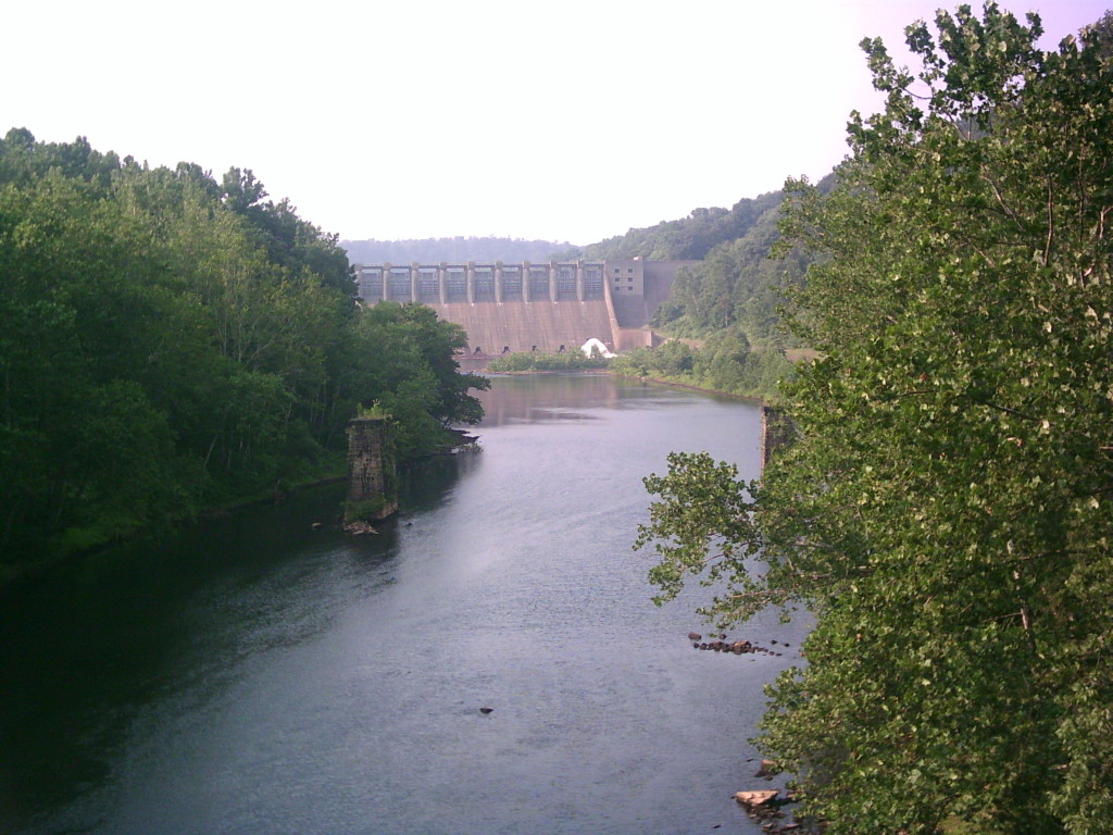
Conemaugh Dam
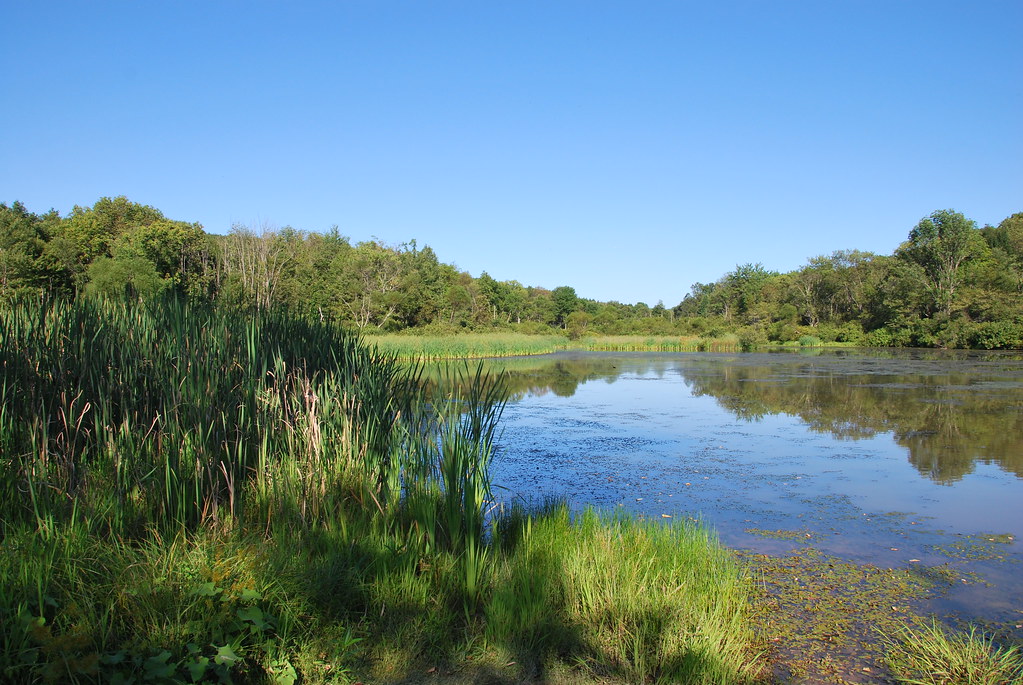
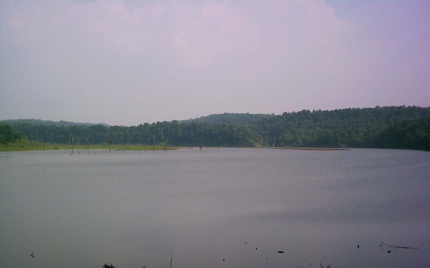
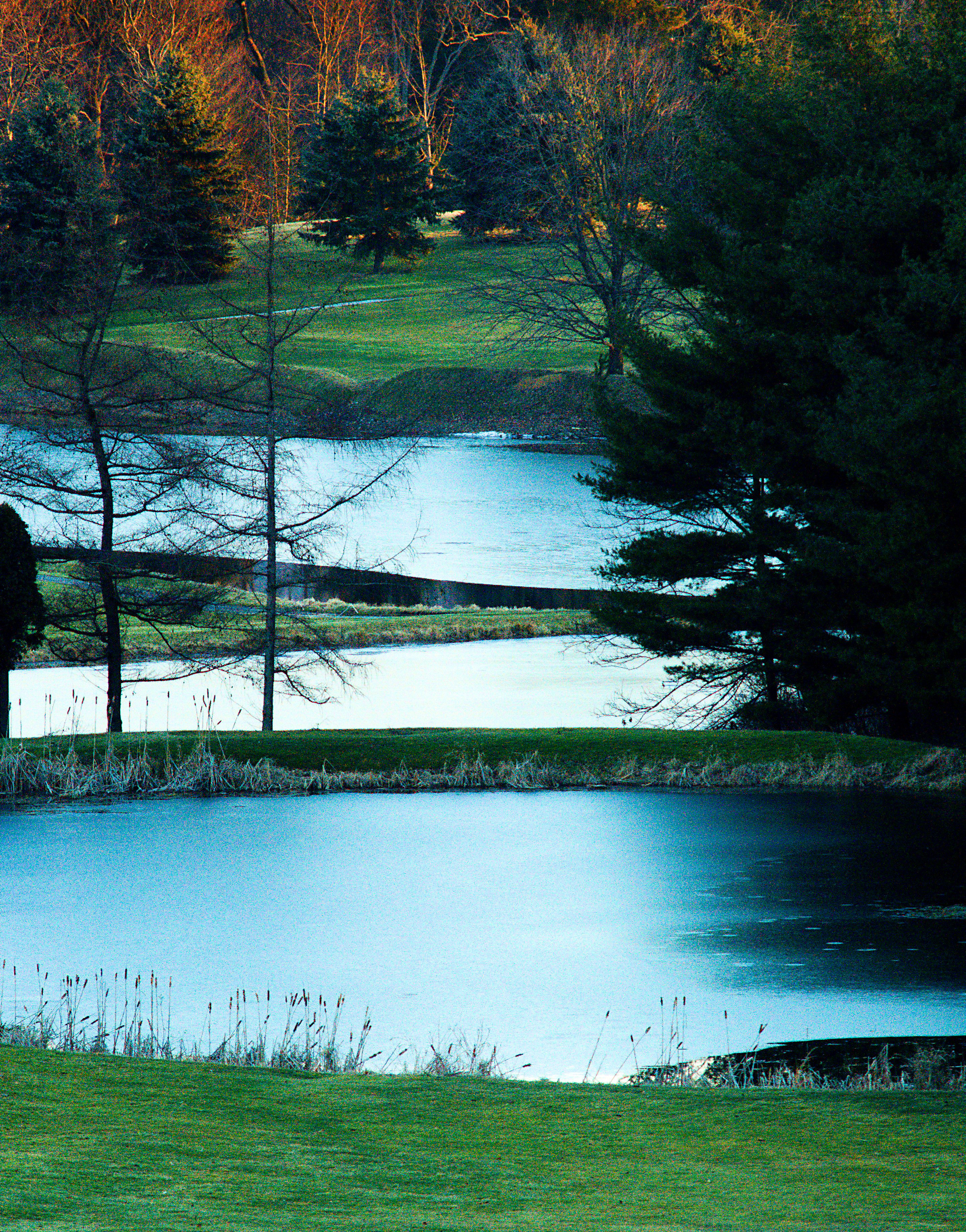
Keystone Lake Wetlands
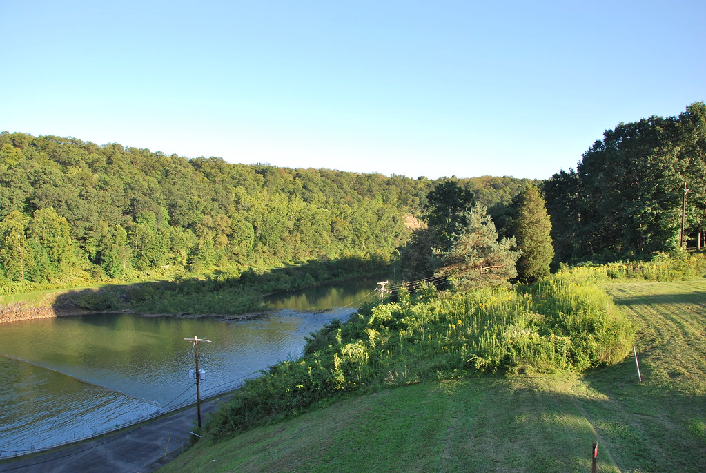
Conemaugh River
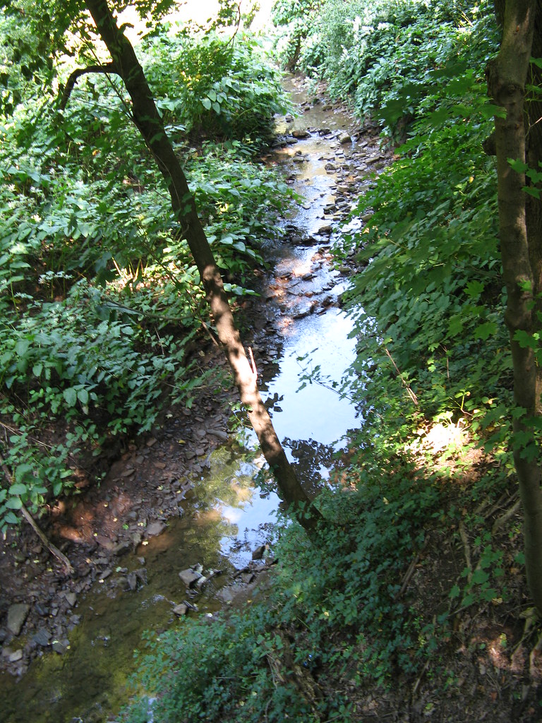
Stream 2
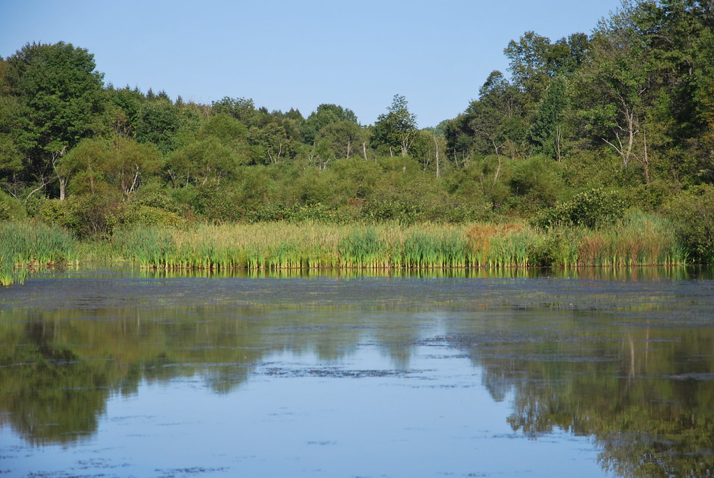
Keystone Lake Wetlands
Topographic Map of Newport Rd, Clarksburg, PA, USA
Find elevation by address:

Places near Newport Rd, Clarksburg, PA, USA:
Livermore Rd, Blairsville, PA, USA
Young Township
Conemaugh Township
Newport Rd, Blairsville, PA, USA
Tunnelton Rd, Saltsburg, PA, USA
Cedar Avenue
West Lebanon
30 Pounds Rd, Rossiter, PA, USA
Blairsville
Iselin Rd, Saltsburg, PA, USA
148 Philbert Ln
Moween Rd, Saltsburg, PA, USA
Foster Rd, Saltsburg, PA, USA
Burrell Township
1690 Power Plant Rd
1690 Power Plant Rd
Saltsburg
Loyalhanna Township
Homer City
5 Walter Ln
Recent Searches:
- Elevation of Elwyn Dr, Roanoke Rapids, NC, USA
- Elevation of Congressional Dr, Stevensville, MD, USA
- Elevation of Bellview Rd, McLean, VA, USA
- Elevation of Stage Island Rd, Chatham, MA, USA
- Elevation of Shibuya Scramble Crossing, 21 Udagawacho, Shibuya City, Tokyo -, Japan
- Elevation of Jadagoniai, Kaunas District Municipality, Lithuania
- Elevation of Pagonija rock, Kranto 7-oji g. 8"N, Kaunas, Lithuania
- Elevation of Co Rd 87, Jamestown, CO, USA
- Elevation of Tenjo, Cundinamarca, Colombia
- Elevation of Côte-des-Neiges, Montreal, QC H4A 3J6, Canada