Elevation of 30 Pounds Rd, Rossiter, PA, USA
Location: United States > Pennsylvania > Indiana County > Young Township > West Lebanon >
Longitude: -79.353922
Latitude: 40.6028253
Elevation: 402m / 1319feet
Barometric Pressure: 97KPa
Elevation Map:
Satellite Map:
Related Photos:
My Front Porch View

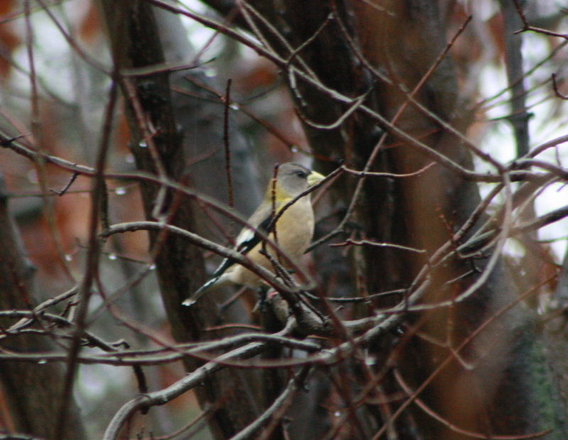
Evening Grosbeaks at Higbee's Yard, Indiana, PA on Nov 1, 2012

Evening Grosbeaks at Higbee's Yard, Indiana, PA on Nov 1, 2012
Evening Grosbeaks at Higbee's Yard, Indiana, PA on Nov 1, 2012
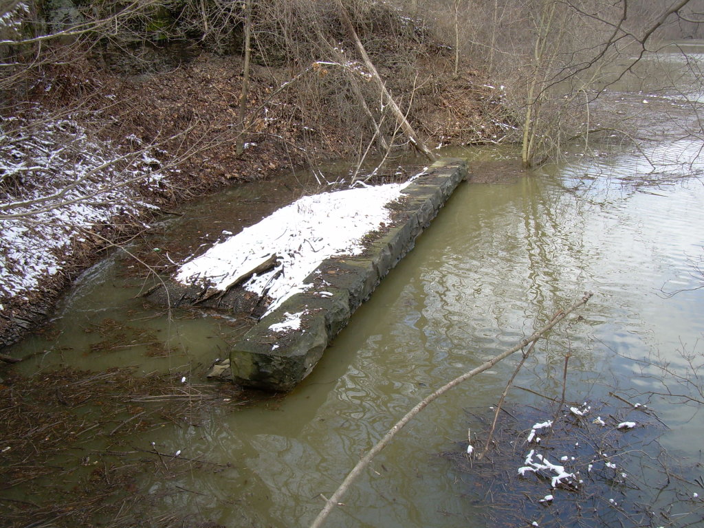
1854 Bridge Piers
Bridge #2 and Bow Ridge

Evening Grosbeaks at Higbee's Yard, Indiana, PA on Nov 1, 2012
View from Bridge #2

Red-bellied Woodpecker - Creekside Rd., Indiana Co, PA - Dec 26, 2015

Evening Grosbeaks at Higbee's Yard, Indiana, PA on Nov 1, 2012

House Finch & American Goldfinch - Creekside Baseball Fields, Indiana Co, PA - Dec 26, 2015

American Tree Sparrow - Creekside Rd., Indiana Co, PA - Dec 26, 2015

Field Sparrow - Creekside Rd., Indiana Co, PA - Dec 26, 2015
Creekside Baseball Fields, Indiana Co, PA - Dec 26, 2015
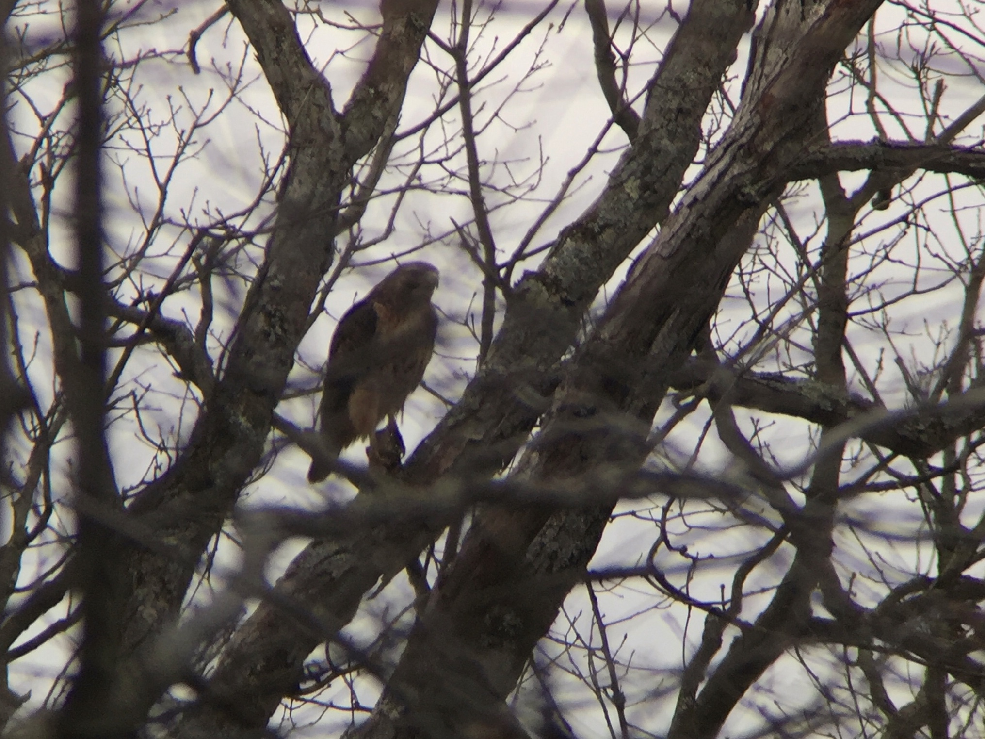
Red-tailed Hawk - T438, Indiana Co, PA - Dec 26, 2015

From the television's point of view.
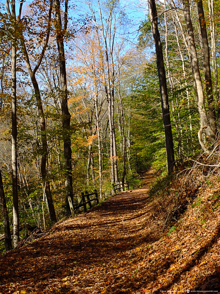
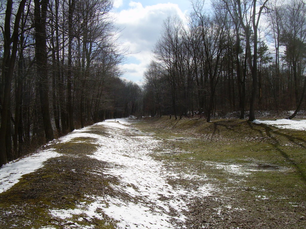
Rock Furnace Trail

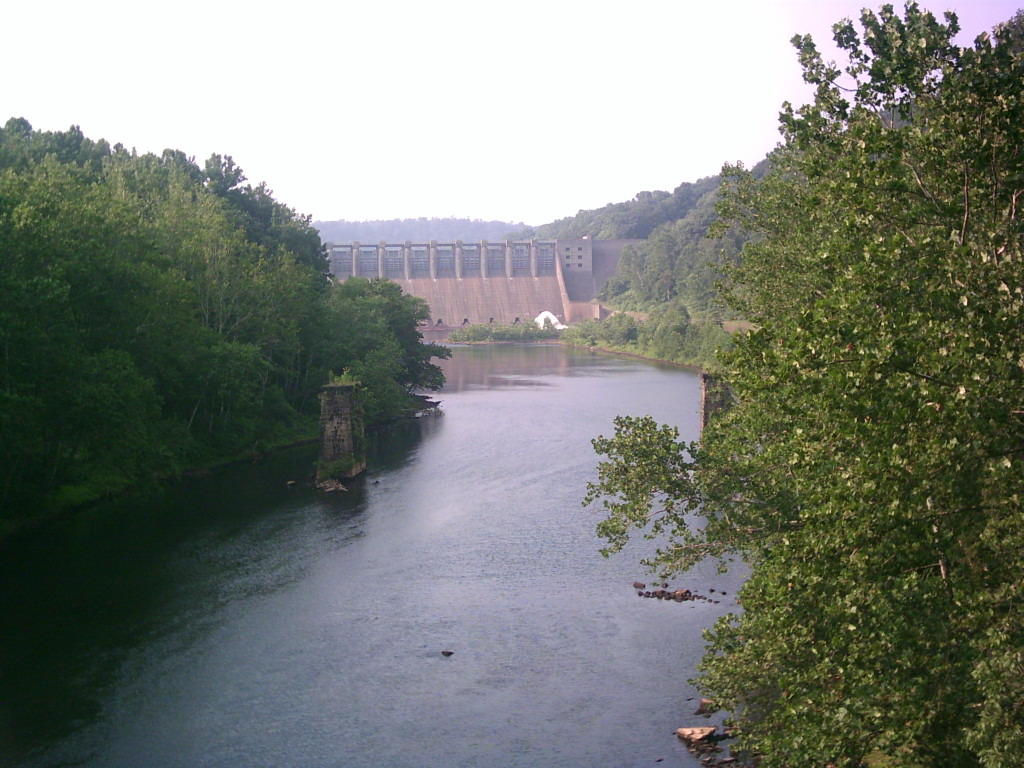
Dam Nice
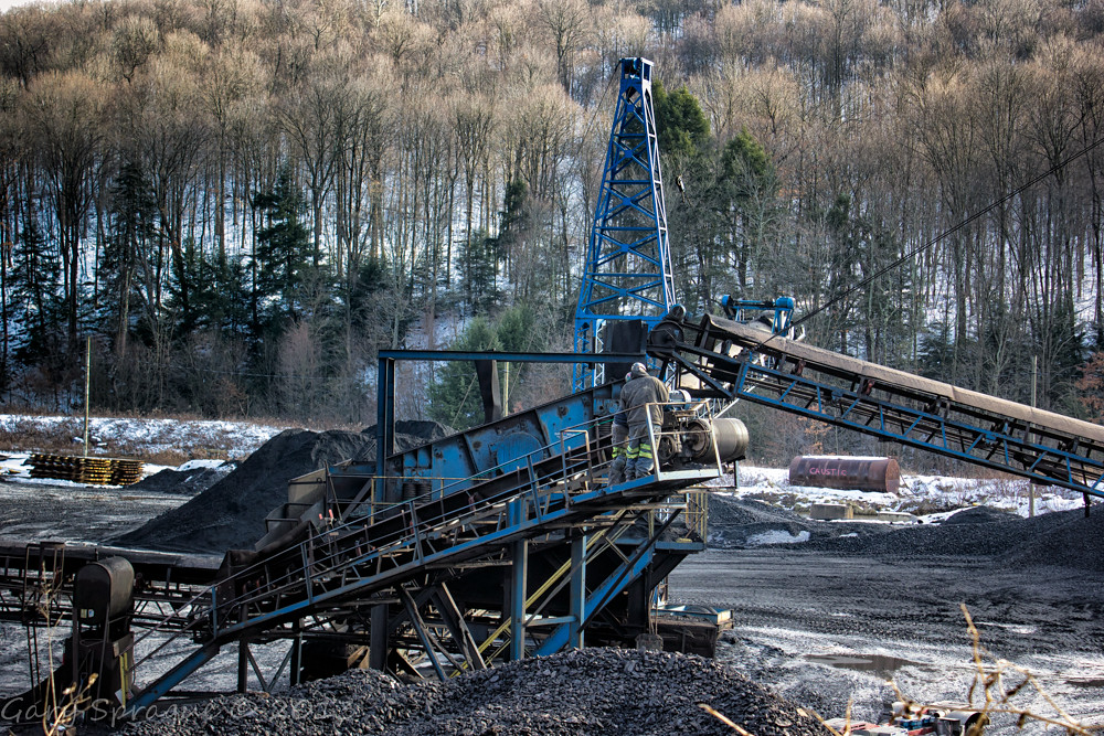
Sixteen Tons , what do you get
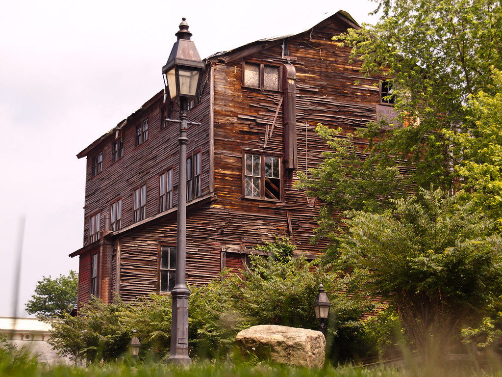
Altman Feed Mill

Roaring Run
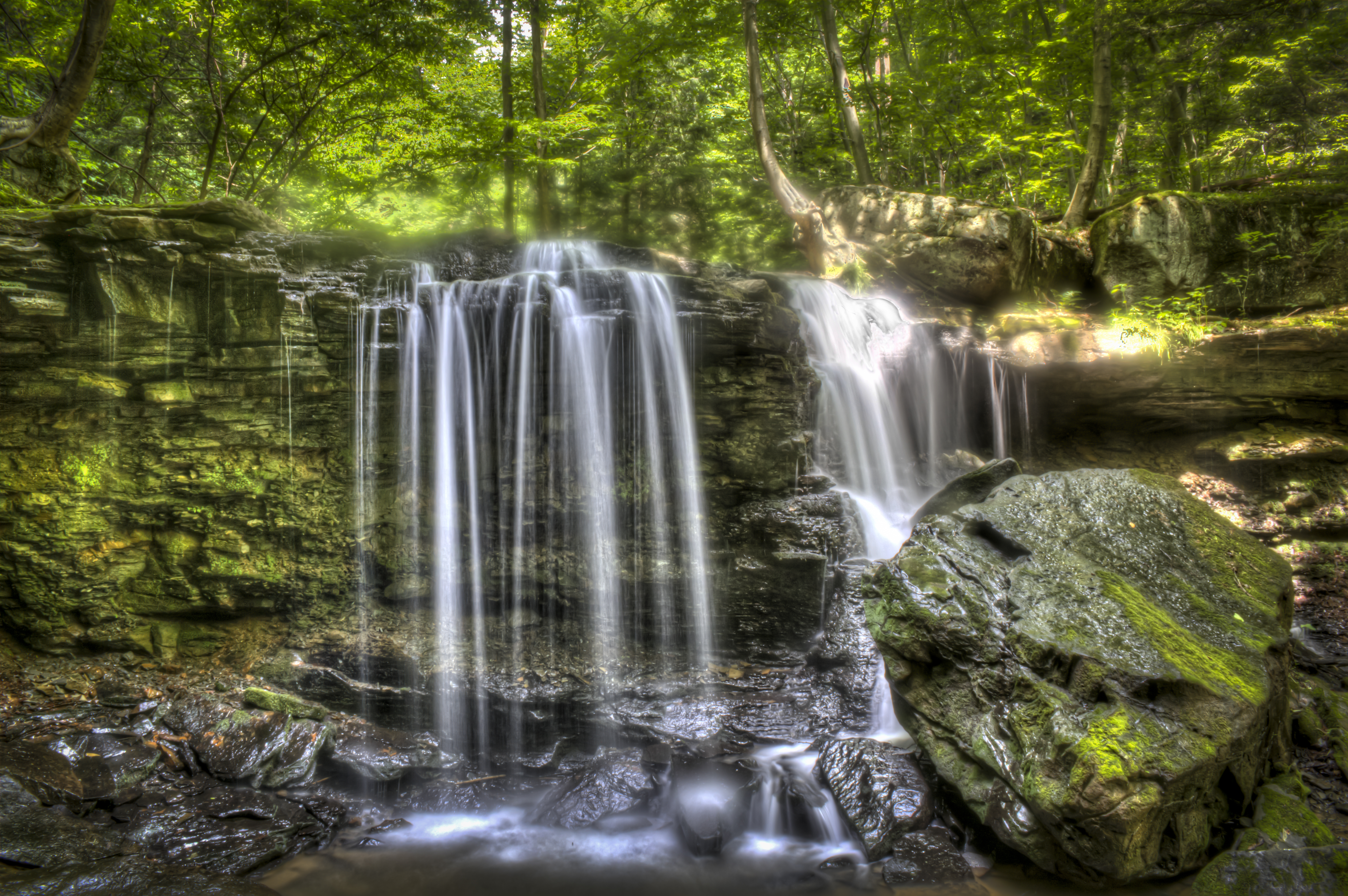
Jackson Falls

Rock Furnace Trail, Apollo

Lake Reflections in Autumn - 1
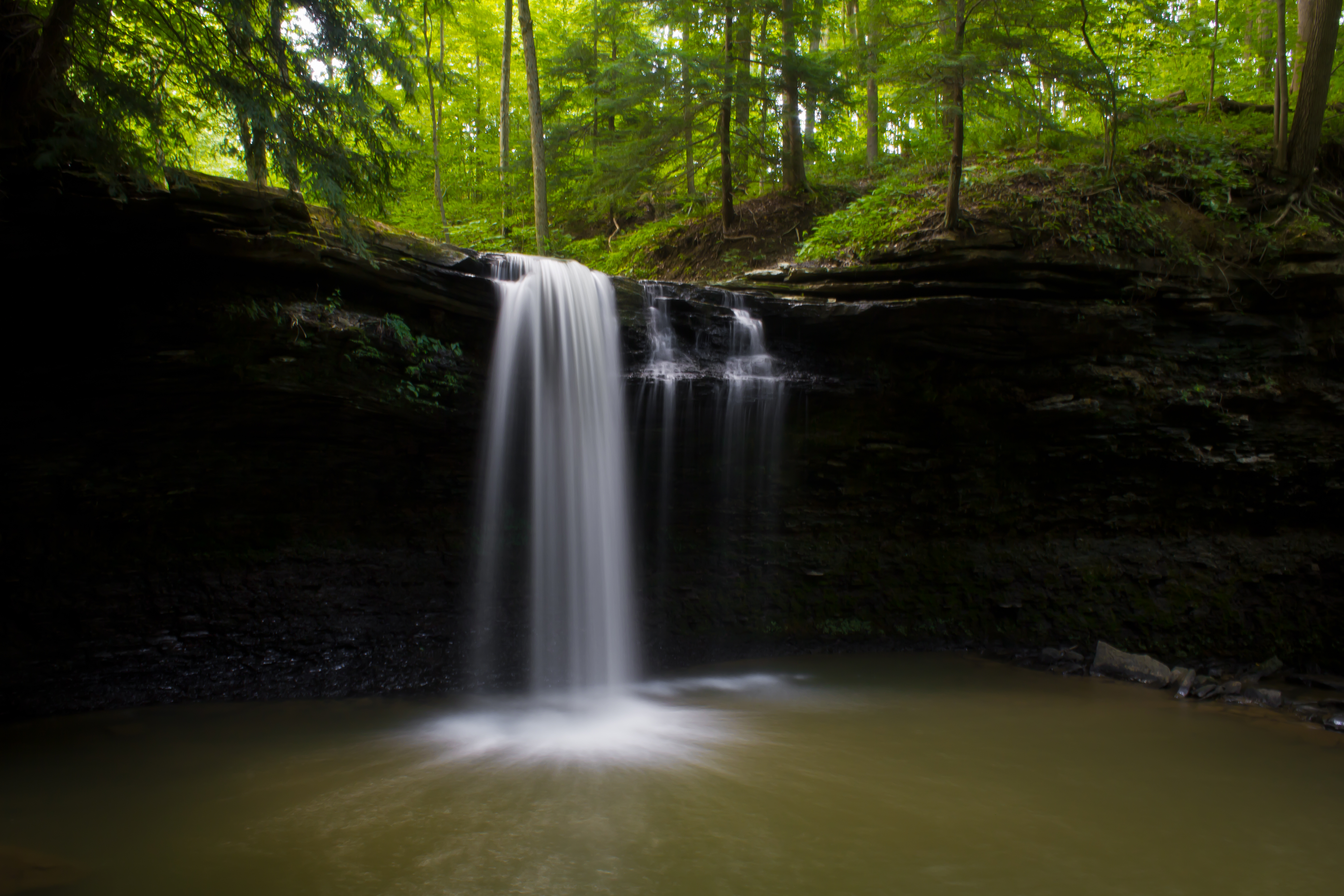
Jackson Falls

Sportsman Lake-Spring Church
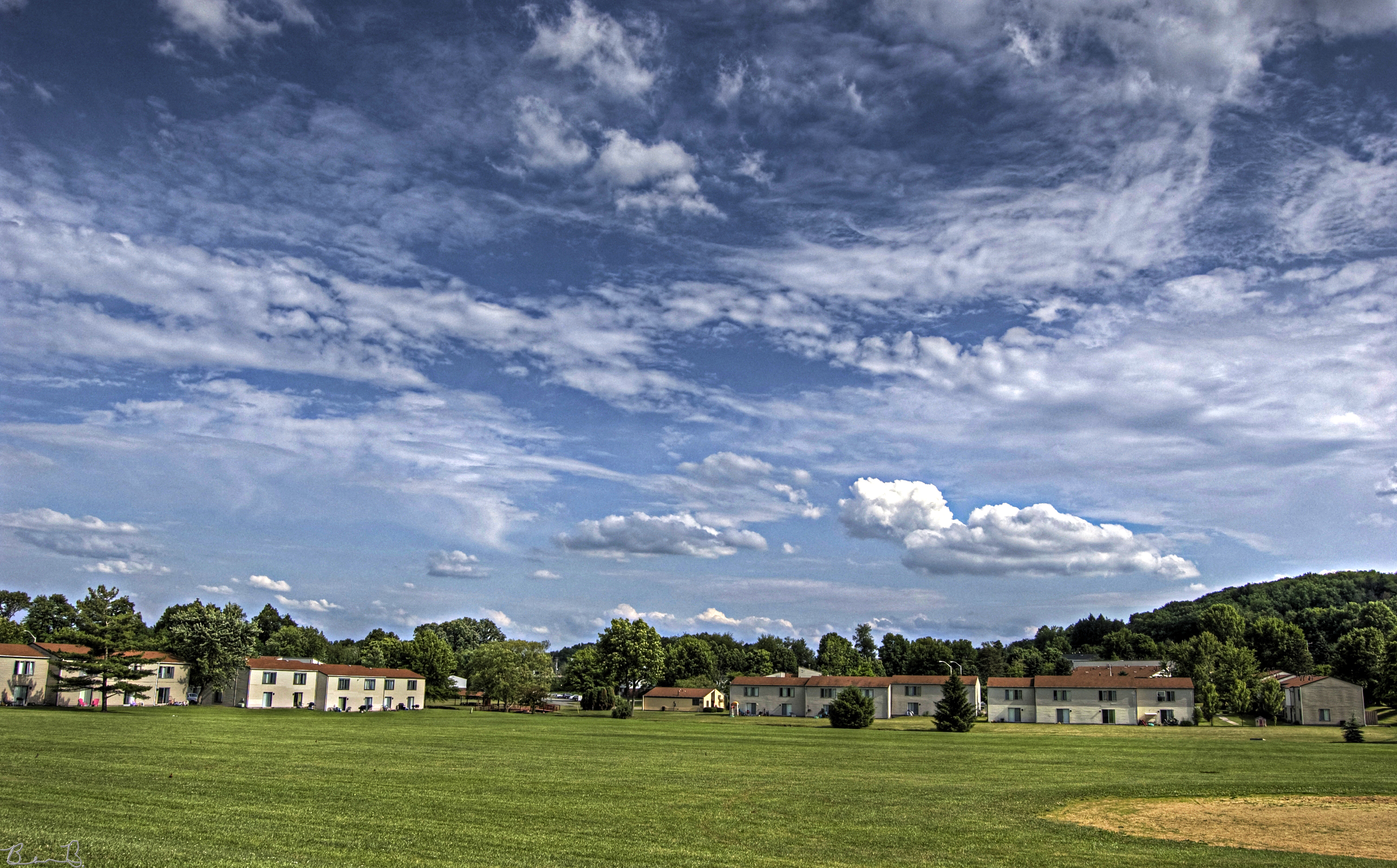
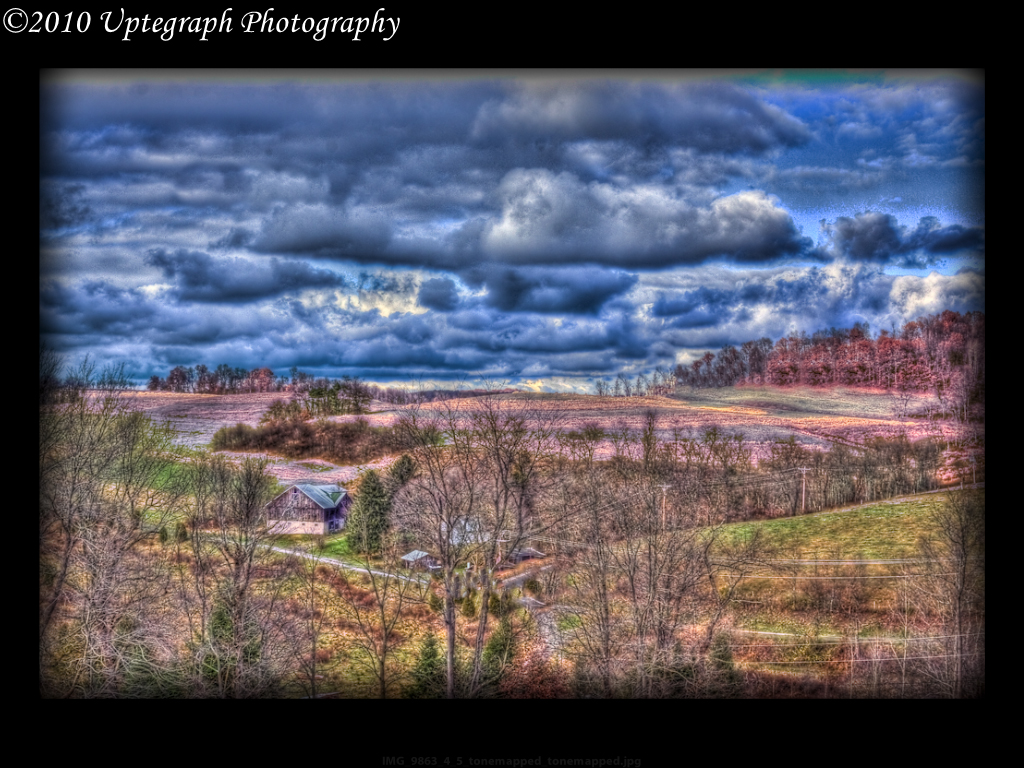
Ball Field HDR

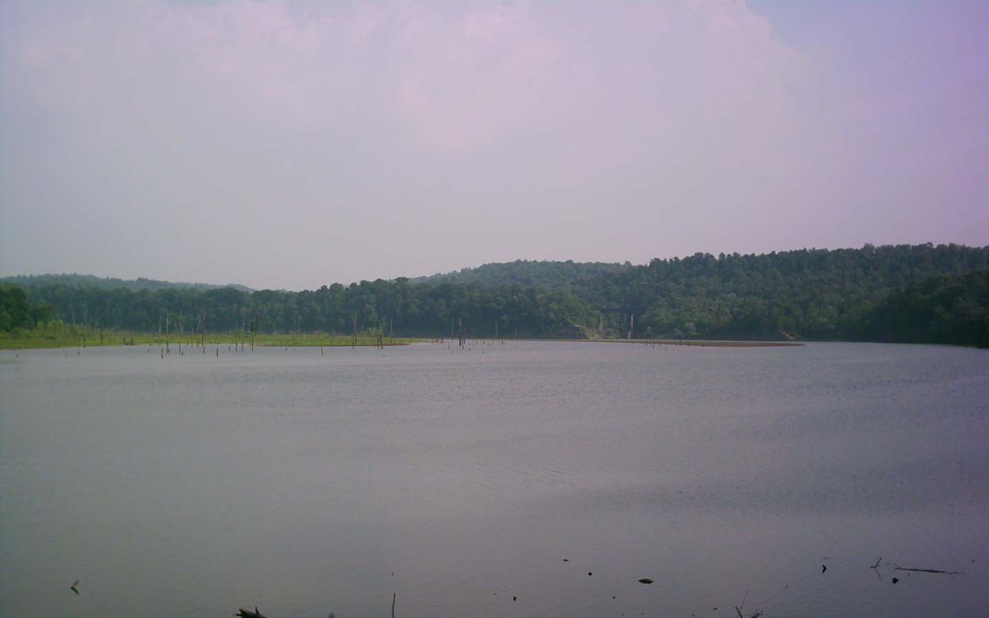
Lake Reflections in Autumn - 2
Pennsylvania Mainline Canal
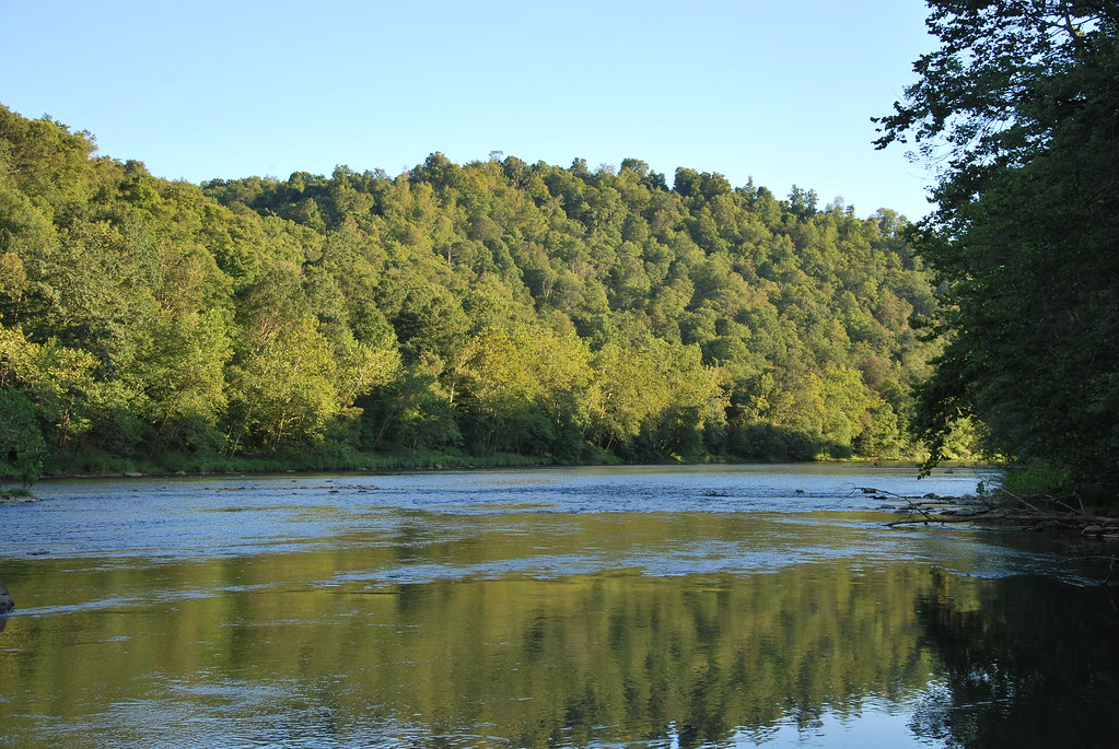
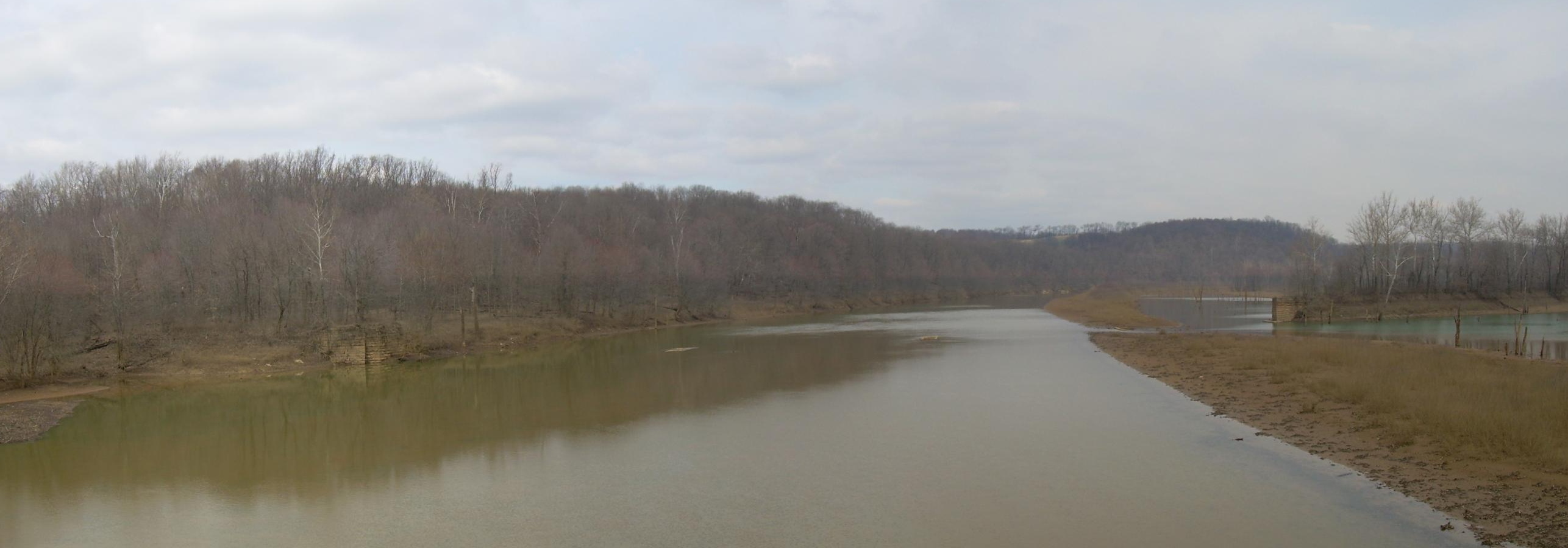
Conemaugh River

The Old Shady Pain School House

Former Bridge

2015 Bike 180 Day 166
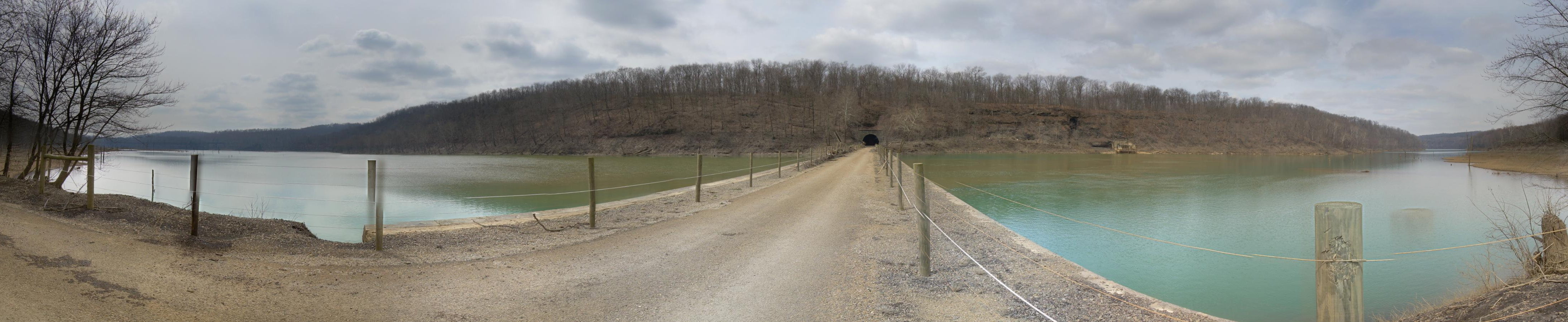
Tunnel Top
Conemaugh Dam
Topographic Map of 30 Pounds Rd, Rossiter, PA, USA
Find elevation by address:

Places near 30 Pounds Rd, Rossiter, PA, USA:
West Lebanon
Young Township
Iselin Rd, Saltsburg, PA, USA
Newport Rd, Clarksburg, PA, USA
Conemaugh Township
Foster Rd, Saltsburg, PA, USA
Moween Rd, Saltsburg, PA, USA
Tunnelton Rd, Saltsburg, PA, USA
Livermore Rd, Blairsville, PA, USA
148 Philbert Ln
Saltsburg
Newport Rd, Blairsville, PA, USA
Loyalhanna Township
1690 Power Plant Rd
1690 Power Plant Rd
Cedar Avenue
Blairsville
5 Walter Ln
Homer City
Burrell Township
Recent Searches:
- Elevation of Jalan Senandin, Lutong, Miri, Sarawak, Malaysia
- Elevation of Bilohirs'k
- Elevation of 30 Oak Lawn Dr, Barkhamsted, CT, USA
- Elevation of Luther Road, Luther Rd, Auburn, CA, USA
- Elevation of Unnamed Road, Respublika Severnaya Osetiya — Alaniya, Russia
- Elevation of Verkhny Fiagdon, North Ossetia–Alania Republic, Russia
- Elevation of F. Viola Hiway, San Rafael, Bulacan, Philippines
- Elevation of Herbage Dr, Gulfport, MS, USA
- Elevation of Lilac Cir, Haldimand, ON N3W 2G9, Canada
- Elevation of Harrod Branch Road, Harrod Branch Rd, Kentucky, USA