Elevation of Burrell Township, PA, USA
Location: United States > Pennsylvania > Indiana County >
Longitude: -79.211276
Latitude: 40.4434468
Elevation: 381m / 1250feet
Barometric Pressure: 97KPa
Elevation Map:
Satellite Map:
Related Photos:
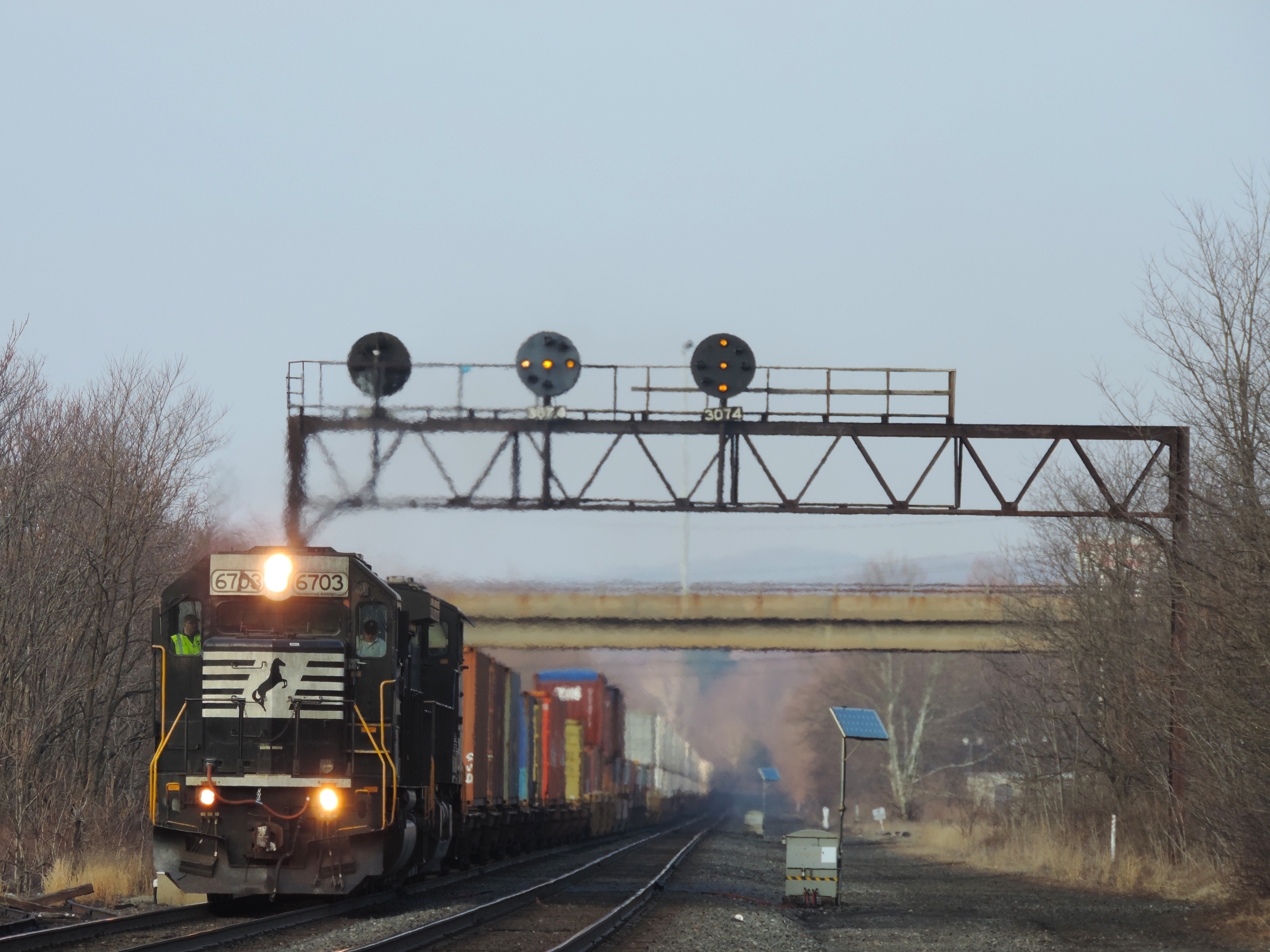
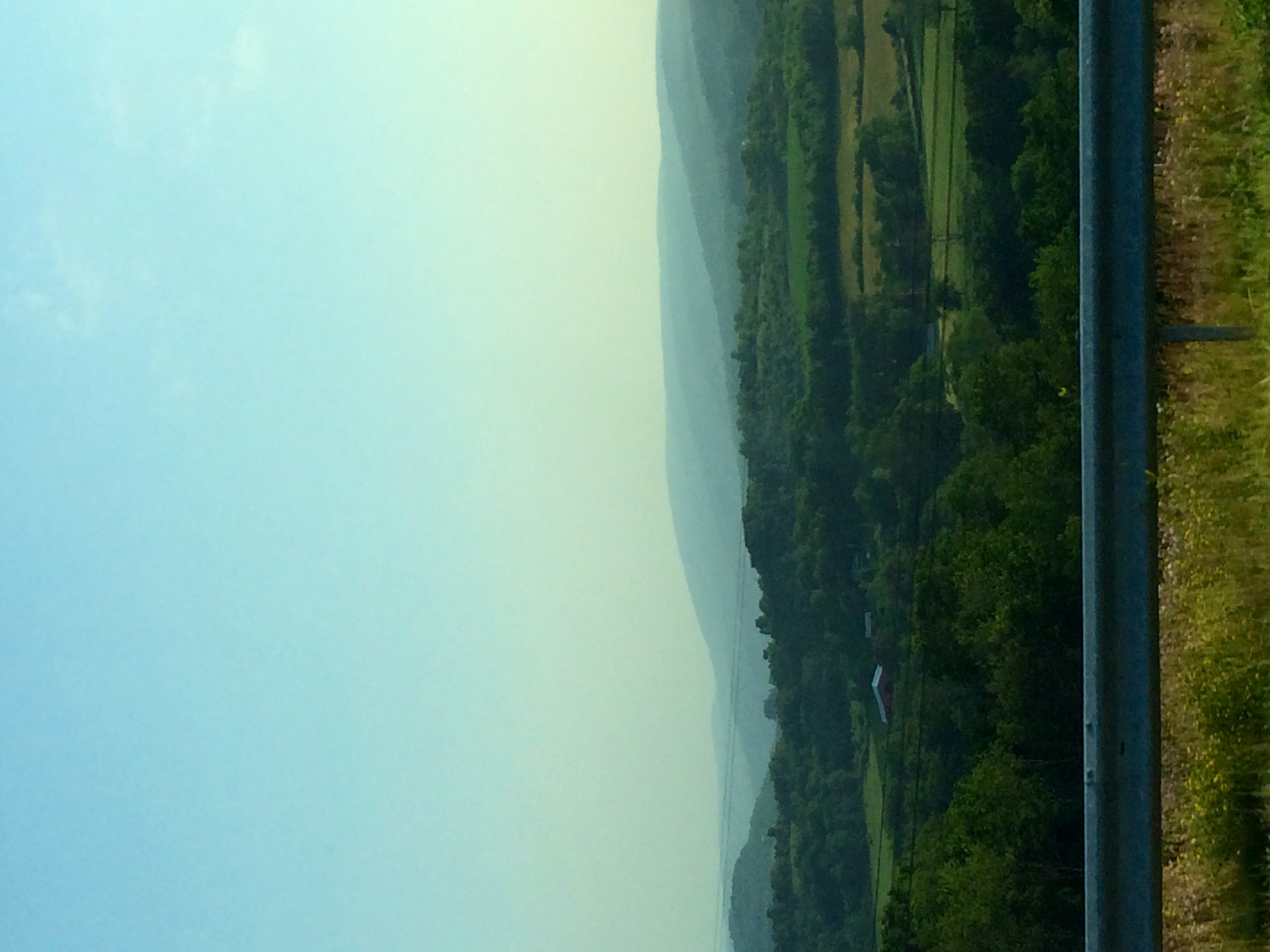
A Different View Of 307
1854 Bridge Piers
Bridge #2 and Bow Ridge
View from Bridge #2

Pittsburgh 5AM view

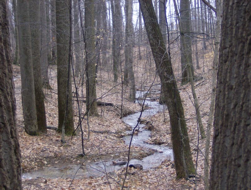
Blacklick Creek - Ghost Town Trail
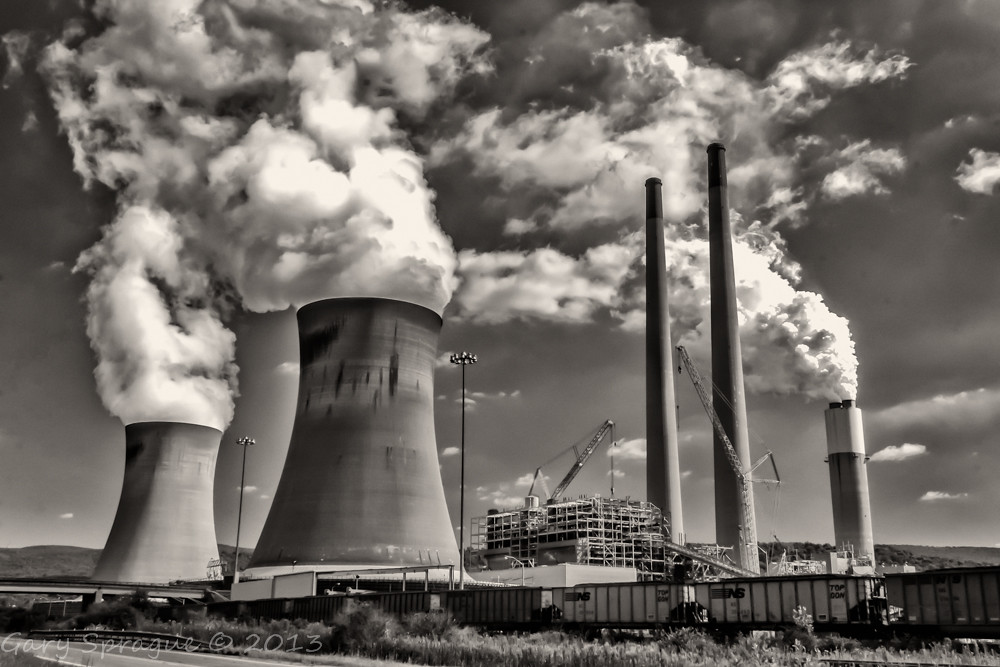
Conemaugh Generating Station

Buttermilk Falls -- Indiana County, Pennsylvania
2014 Summer trip back to the homeland of western PA.
Fall2010 462
Glass and Green

Buttermilk Falls, PA
Stairway to Heaven......?

Buttermilk Falls -- Indiana County, Pennsylvania
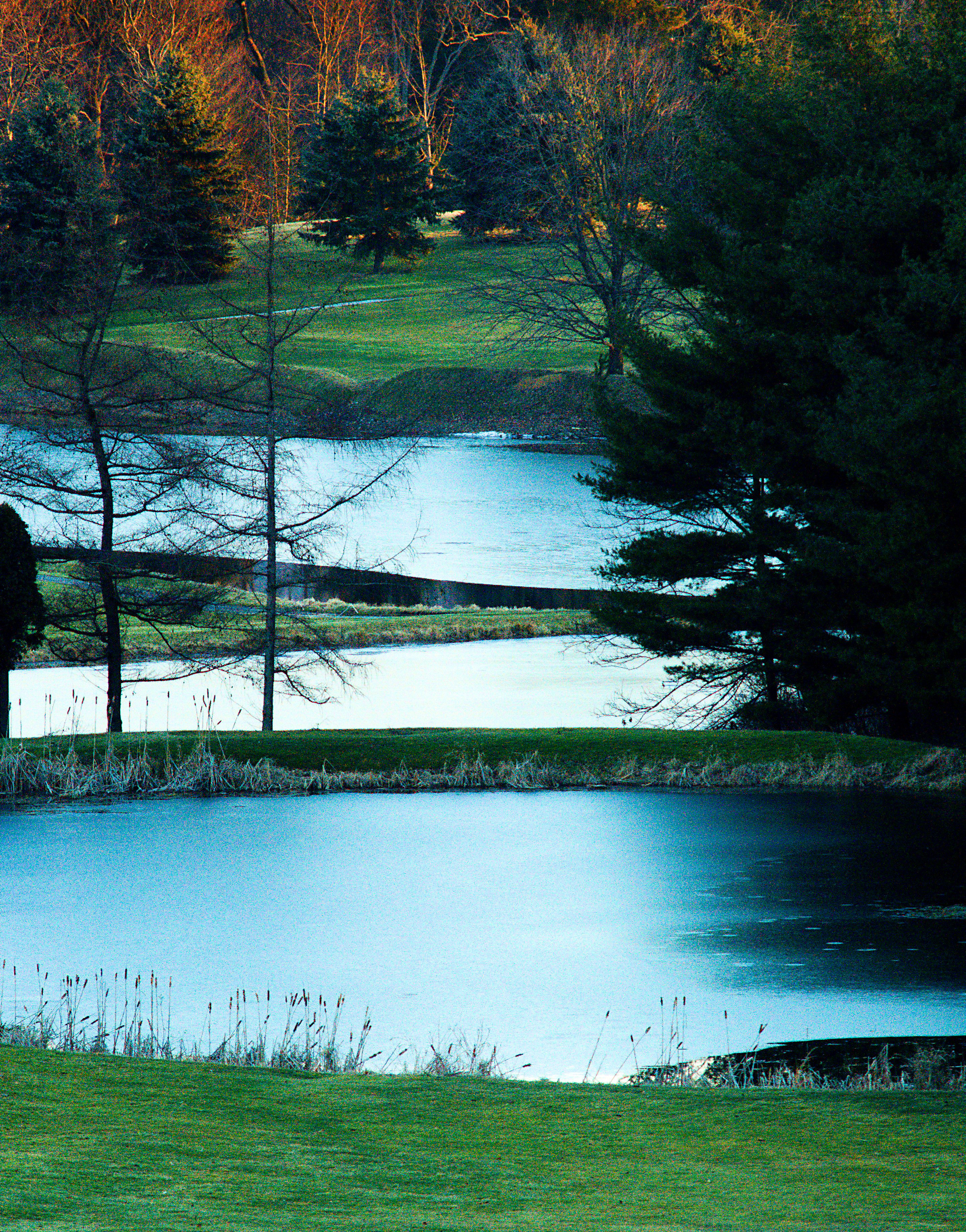
Keystone Lake State Park

Buttermilk Falls -- Indiana County, Pennsylvania
Pennsylvania Mainline Canal
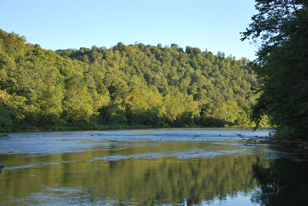
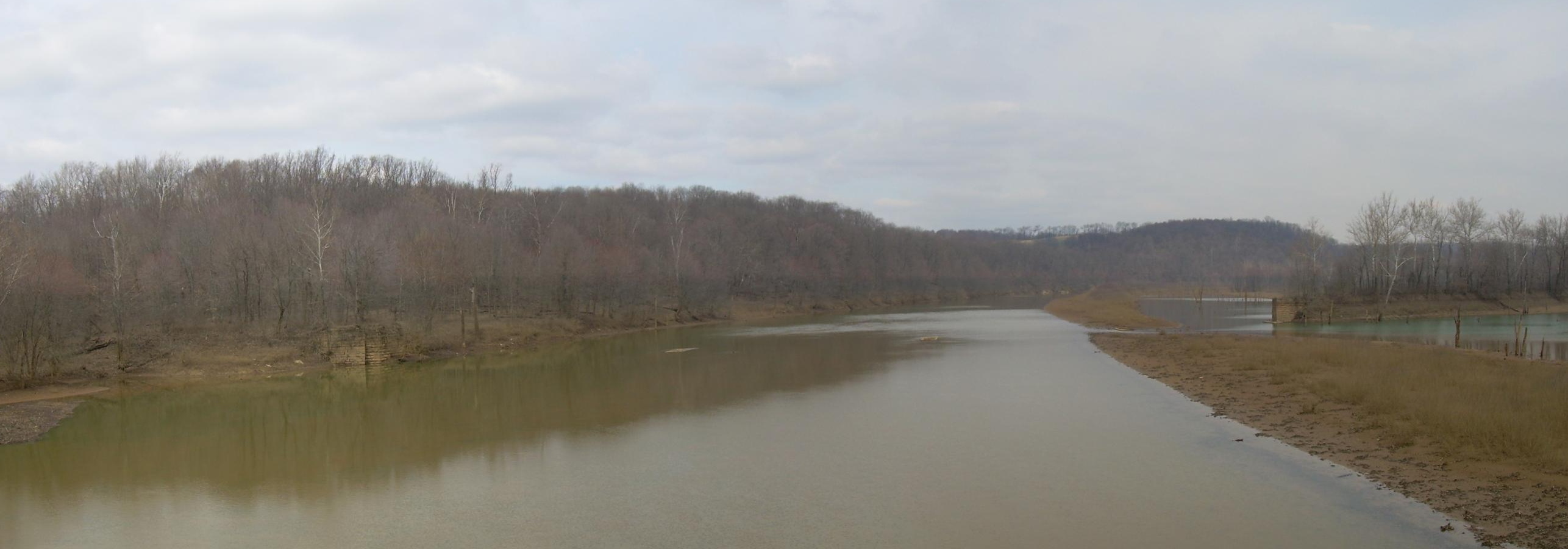
Conemaugh River
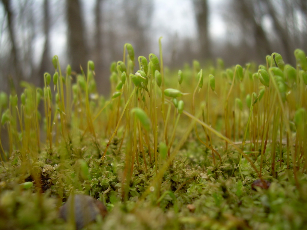
Springtime Moss

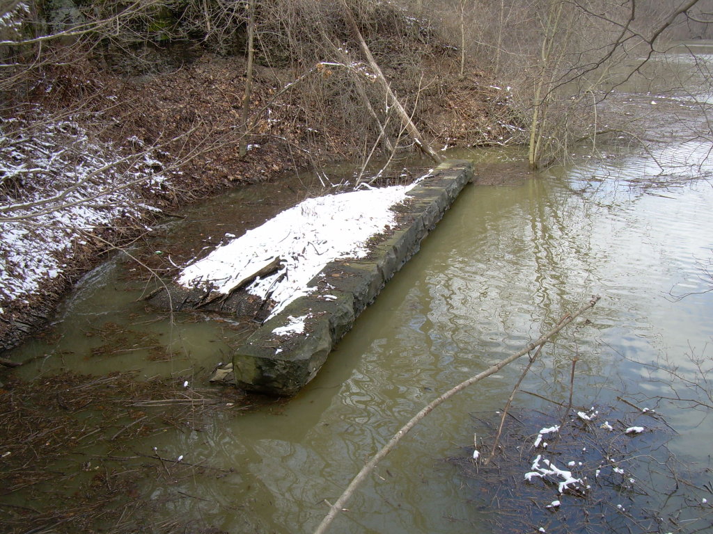
Former Bridge
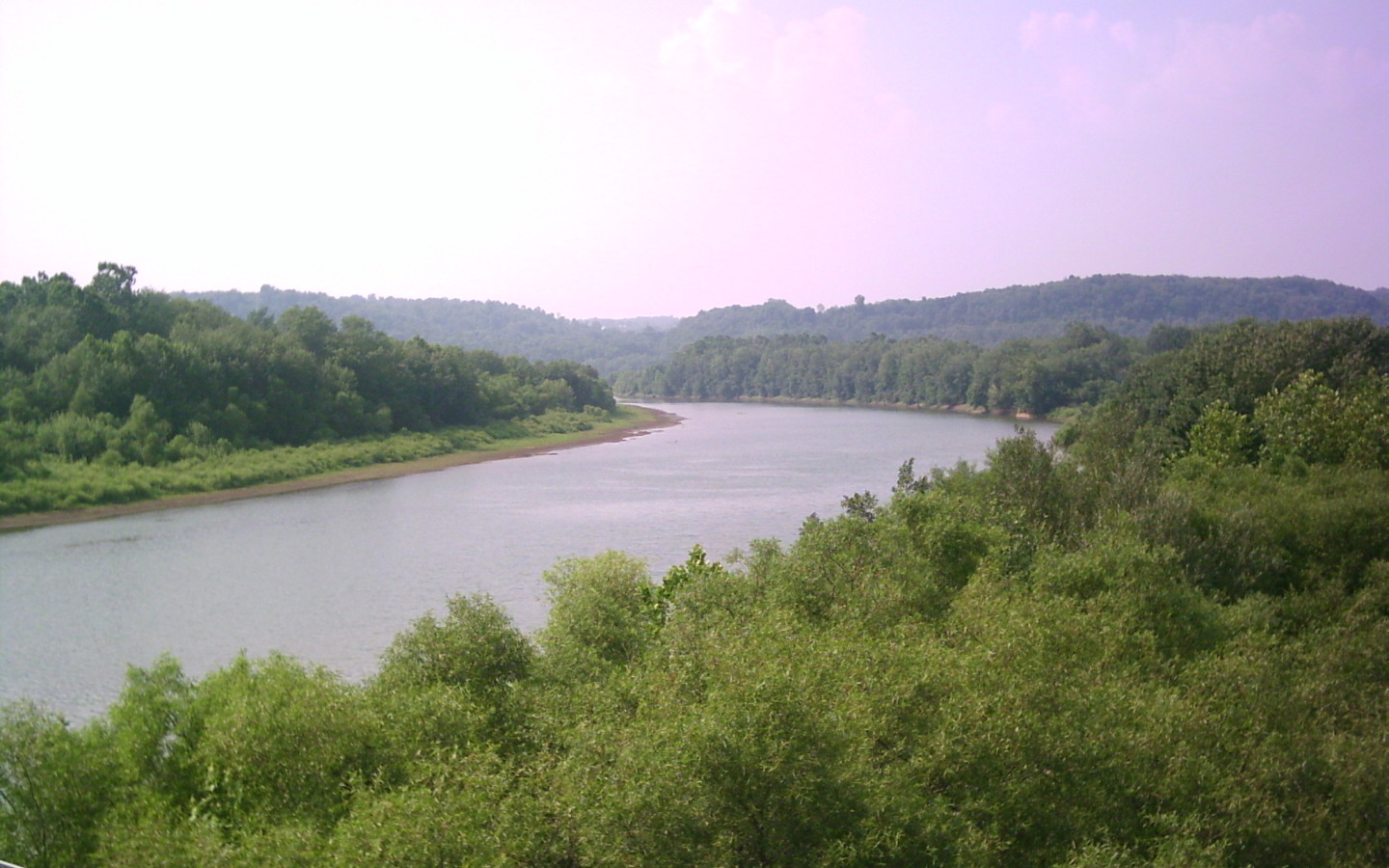
Conemaugh River
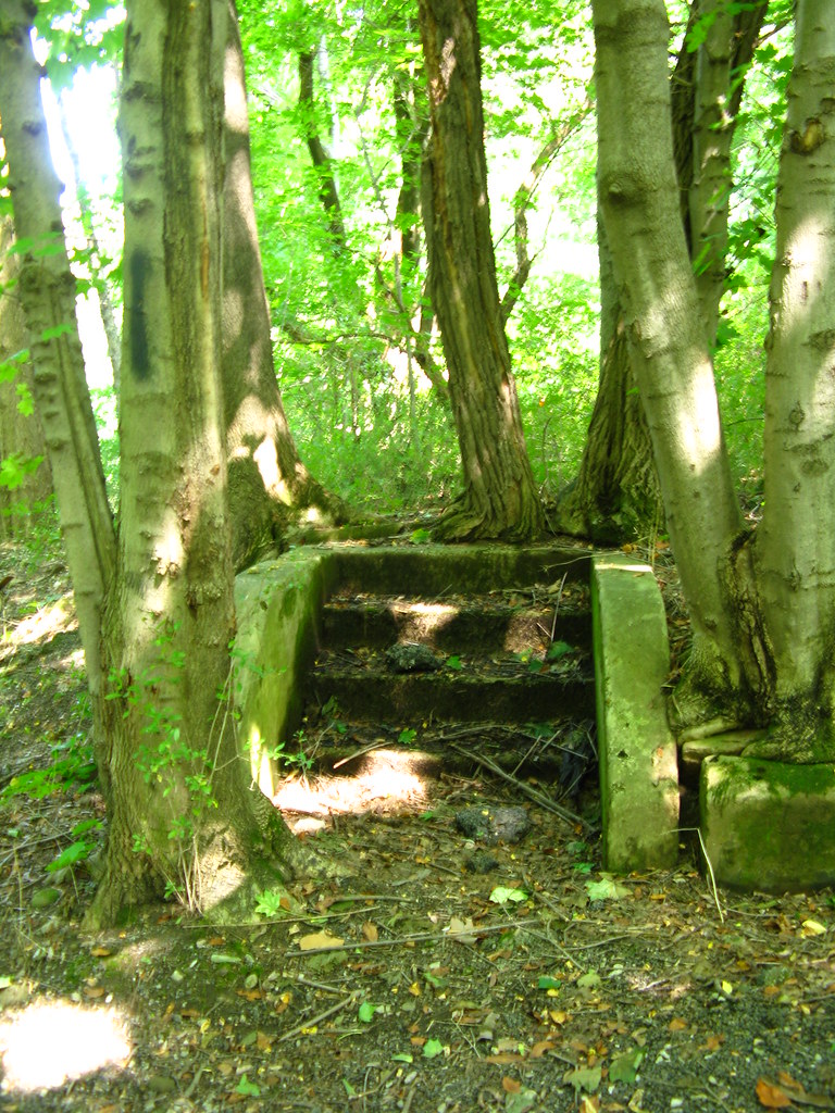
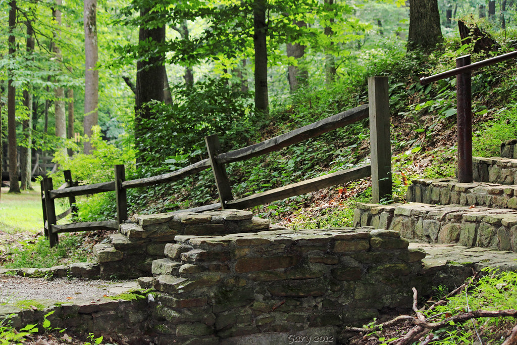
stairway in the woods
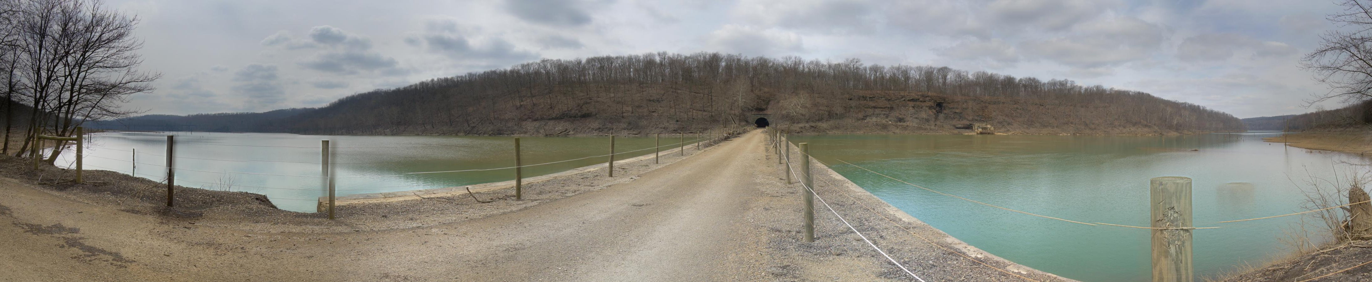
Tunnel Top
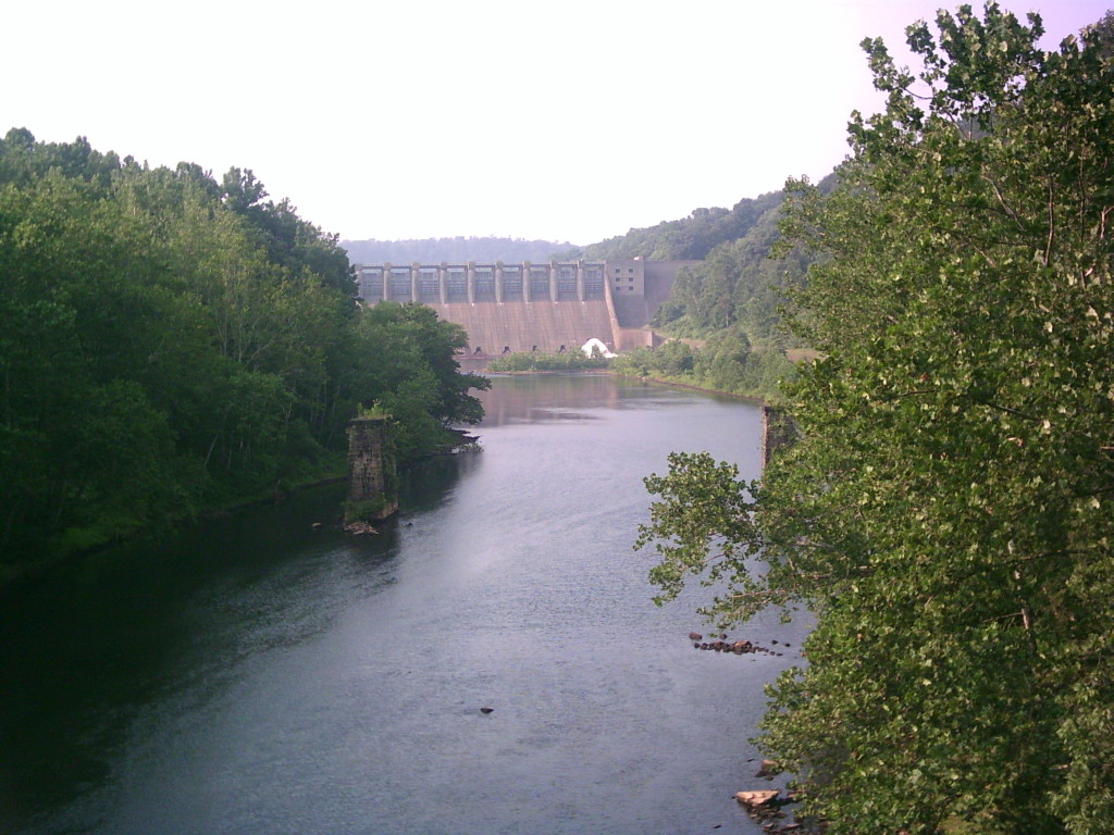
Conemaugh Dam
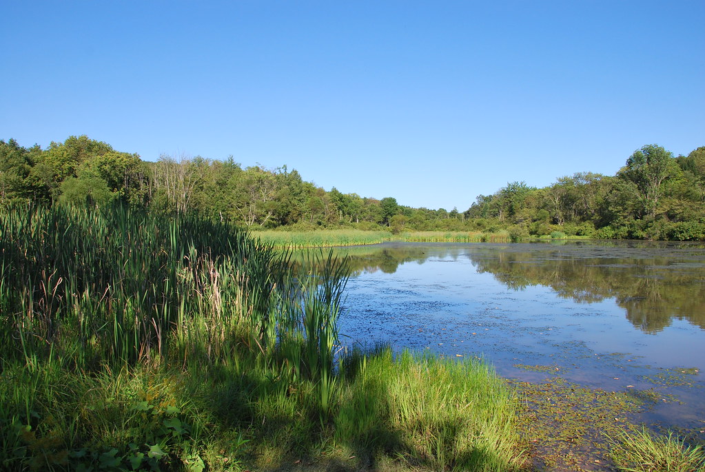
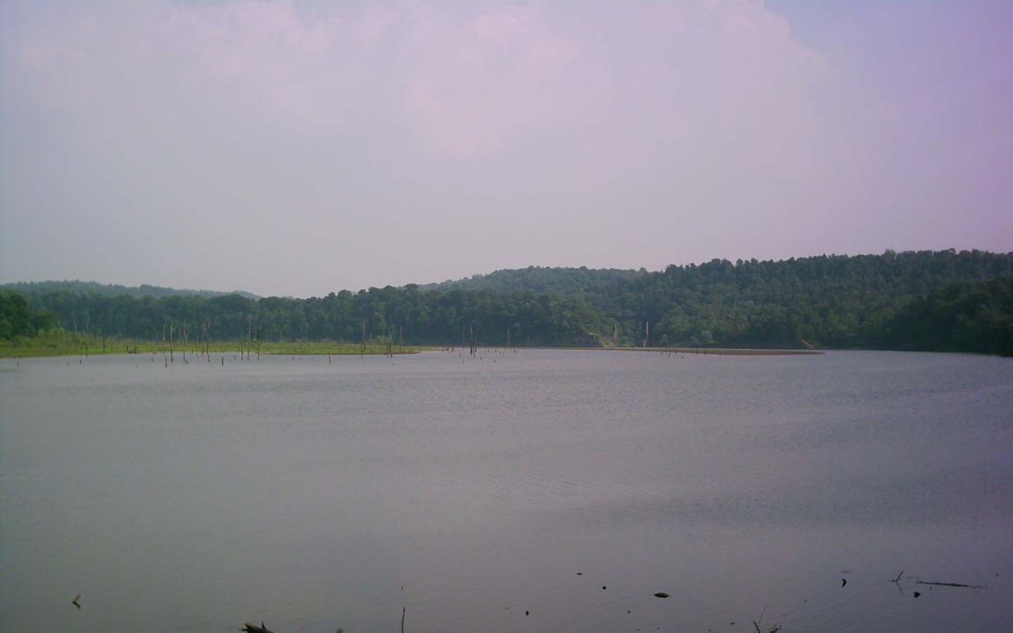
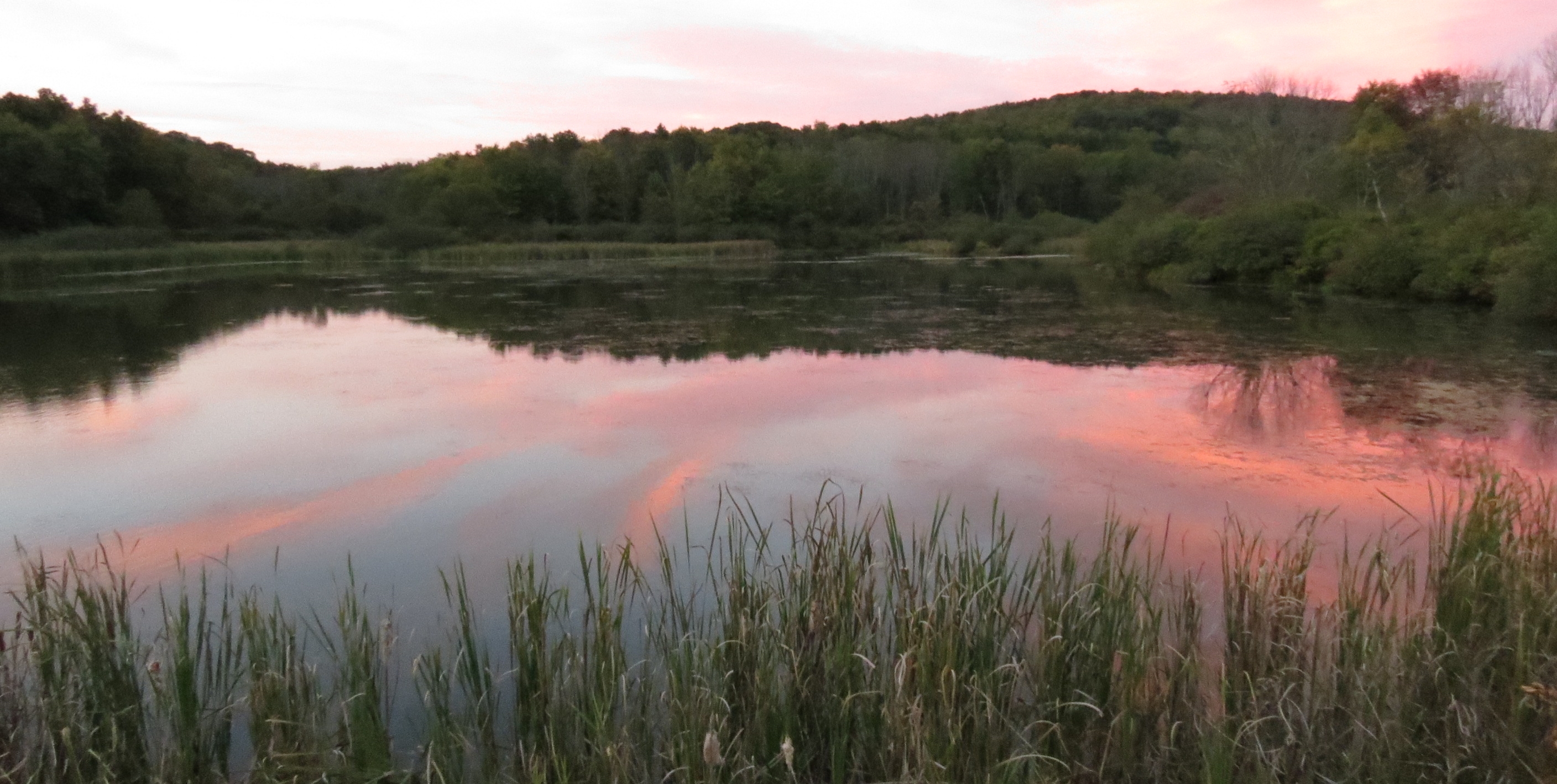
Keystone Lake Wetlands
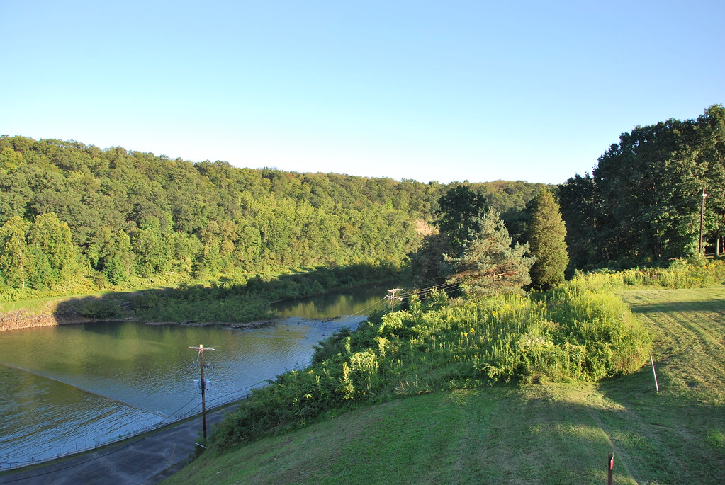
Conemaugh River
Topographic Map of Burrell Township, PA, USA
Find elevation by address:

Places in Burrell Township, PA, USA:
Places near Burrell Township, PA, USA:
Cedar Avenue
Blairsville
1690 Power Plant Rd
1690 Power Plant Rd
Newport Rd, Blairsville, PA, USA
Homer City
Livermore Rd, Blairsville, PA, USA
Newport Rd, Clarksburg, PA, USA
5 Walter Ln
Tunnelton Rd, Saltsburg, PA, USA
Conemaugh Township
Young Township
West Lebanon
30 Pounds Rd, Rossiter, PA, USA
148 Philbert Ln
Moween Rd, Saltsburg, PA, USA
Iselin Rd, Saltsburg, PA, USA
Loyalhanna Township
Saltsburg
Foster Rd, Saltsburg, PA, USA
Recent Searches:
- Elevation of Corso Fratelli Cairoli, 35, Macerata MC, Italy
- Elevation of Tallevast Rd, Sarasota, FL, USA
- Elevation of 4th St E, Sonoma, CA, USA
- Elevation of Black Hollow Rd, Pennsdale, PA, USA
- Elevation of Oakland Ave, Williamsport, PA, USA
- Elevation of Pedrógão Grande, Portugal
- Elevation of Klee Dr, Martinsburg, WV, USA
- Elevation of Via Roma, Pieranica CR, Italy
- Elevation of Tavkvetili Mountain, Georgia
- Elevation of Hartfords Bluff Cir, Mt Pleasant, SC, USA