Elevation of Power Plant Rd, Blairsville, PA, USA
Location: United States > Pennsylvania > Westmoreland County > Derry Township > Blairsville >
Longitude: -79.190760
Latitude: 40.5086307
Elevation: 326m / 1070feet
Barometric Pressure: 97KPa
Elevation Map:
Satellite Map:
Related Photos:
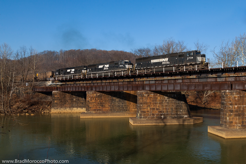
NS 534 at Bolivar, Pennsylvania
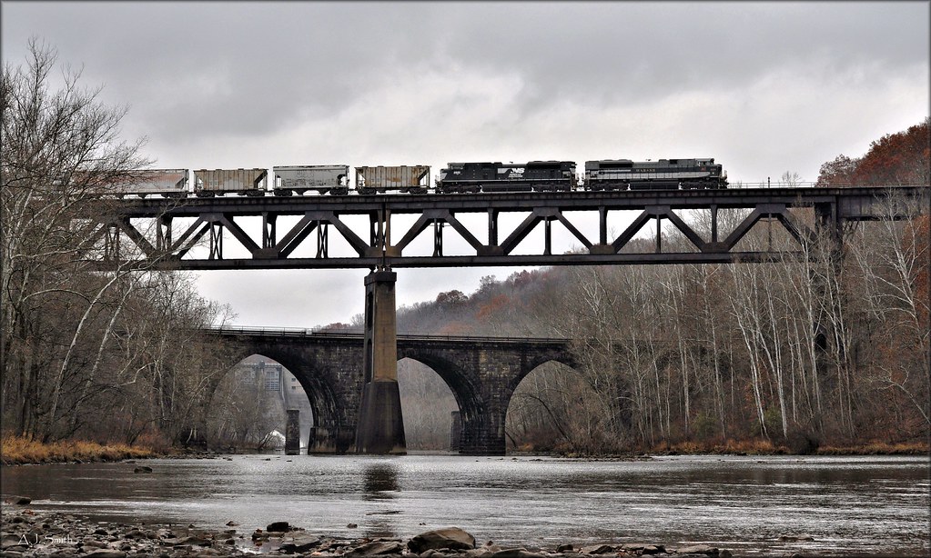
Conemaugh Crossing
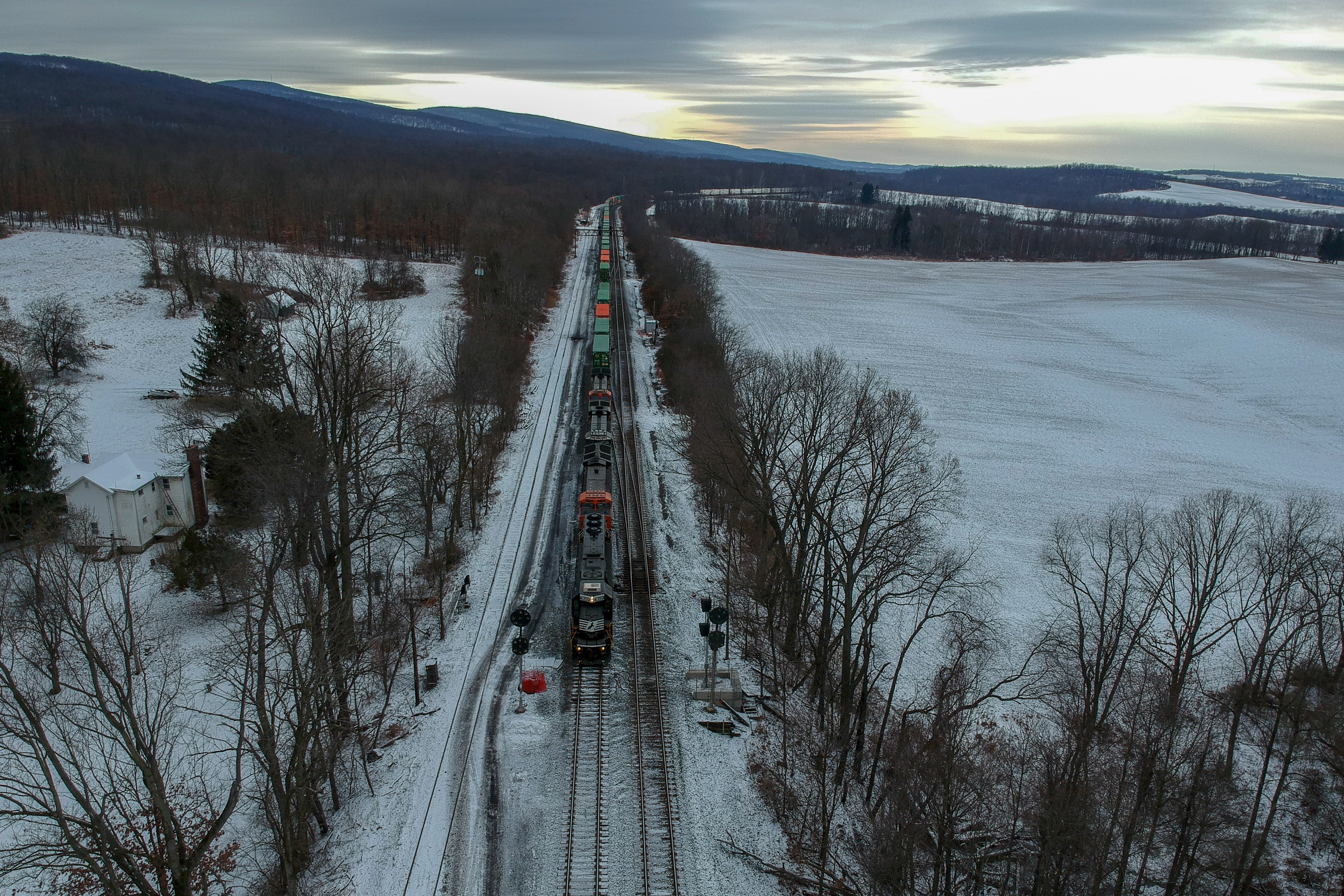
NS I4Z NS 6350 SD40E CP-PACK

Dam Nice
Squirrel Chow

#sunset !!!
Twolick.

Buttermilk Falls -- Indiana County, Pennsylvania

Glass and Green

Buttermilk Falls -- Indiana County, Pennsylvania
Pennsylvania Mainline Canal
Ball Field HDR

Buttermilk Falls -- Indiana County, Pennsylvania
Safe Haven
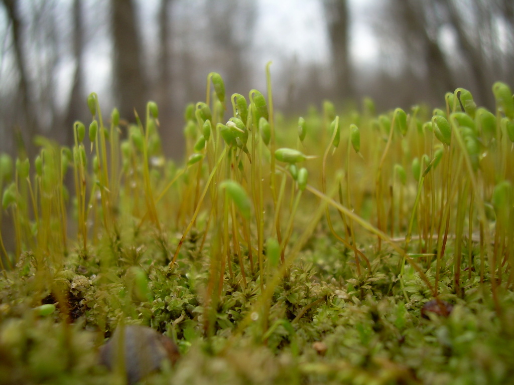
Springtime Moss
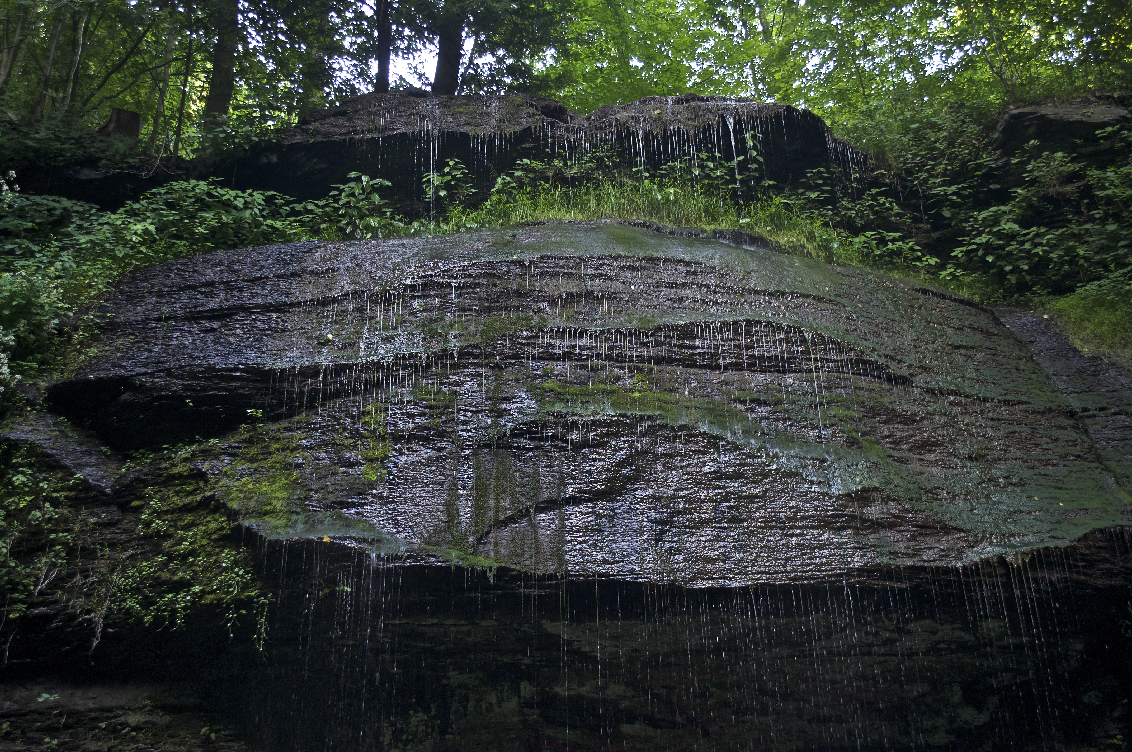
Buttermilk Falls
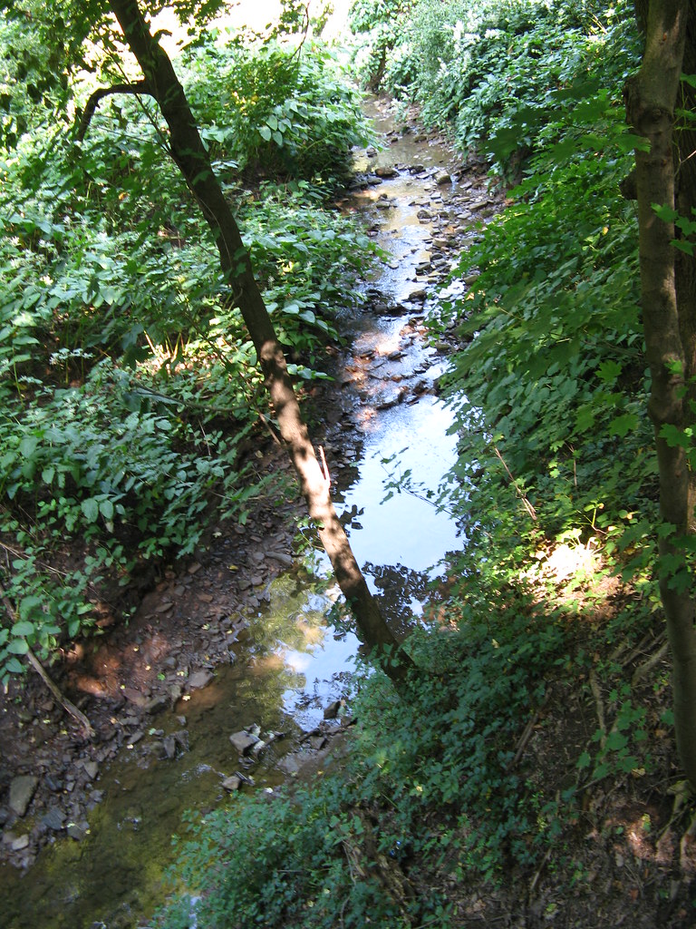
Stream 2
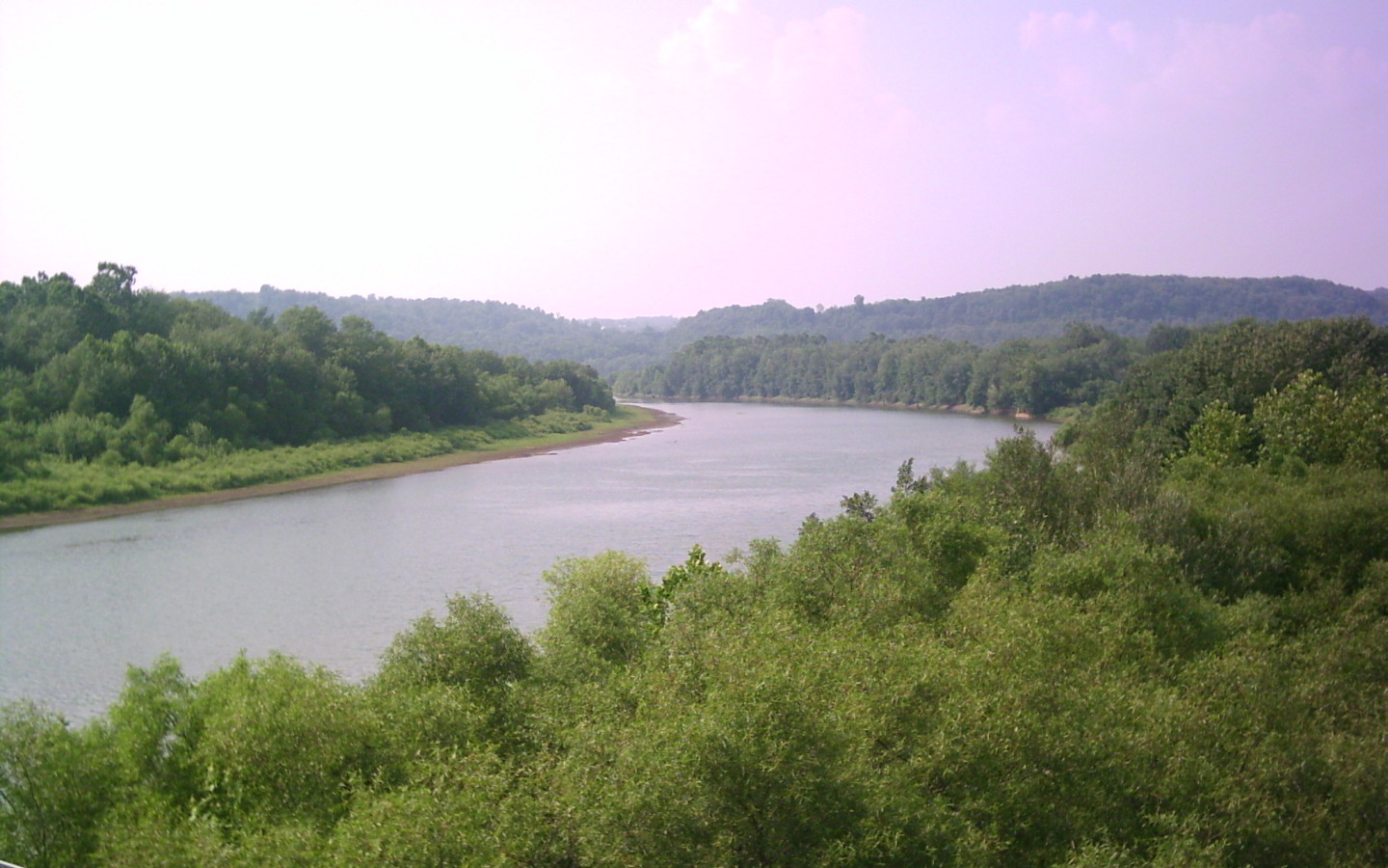
Conemaugh River

Former Bridge

Buttermilk Falls
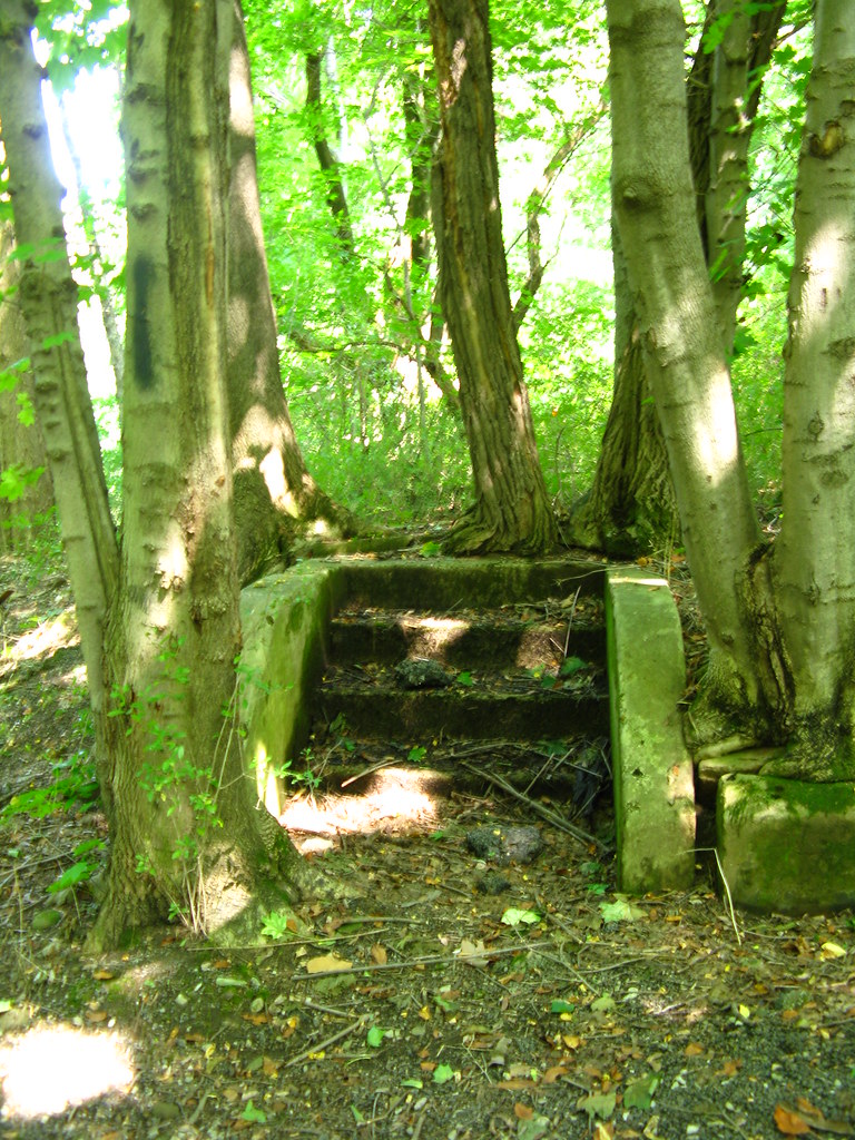
stairway in the woods
Topographic Map of Power Plant Rd, Blairsville, PA, USA
Find elevation by address:

Places near Power Plant Rd, Blairsville, PA, USA:
1690 Power Plant Rd
Homer City
Burrell Township
5 Walter Ln
Cedar Avenue
Blairsville
Newport Rd, Blairsville, PA, USA
Newport Rd, Clarksburg, PA, USA
Livermore Rd, Blairsville, PA, USA
Young Township
West Lebanon
30 Pounds Rd, Rossiter, PA, USA
Conemaugh Township
Tunnelton Rd, Saltsburg, PA, USA
Iselin Rd, Saltsburg, PA, USA
148 Philbert Ln
Moween Rd, Saltsburg, PA, USA
Foster Rd, Saltsburg, PA, USA
Saltsburg
Loyalhanna Township
Recent Searches:
- Elevation of Zimmer Trail, Pennsylvania, USA
- Elevation of 87 Kilmartin Ave, Bristol, CT, USA
- Elevation of Honghe National Nature Reserve, QP95+PJP, Tongjiang, Heilongjiang, Jiamusi, Heilongjiang, China
- Elevation of Hercules Dr, Colorado Springs, CO, USA
- Elevation of Szlak pieszy czarny, Poland
- Elevation of Griffing Blvd, Biscayne Park, FL, USA
- Elevation of Kreuzburger Weg 13, Düsseldorf, Germany
- Elevation of Gateway Blvd SE, Canton, OH, USA
- Elevation of East W.T. Harris Boulevard, E W.T. Harris Blvd, Charlotte, NC, USA
- Elevation of West Sugar Creek, Charlotte, NC, USA