Elevation of NC-55, Bayboro, NC, USA
Location: United States > North Carolina > Pamlico County > > Alliance >
Longitude: -76.794398
Latitude: 35.1448224
Elevation: 3m / 10feet
Barometric Pressure: 101KPa
Elevation Map:
Satellite Map:
Related Photos:

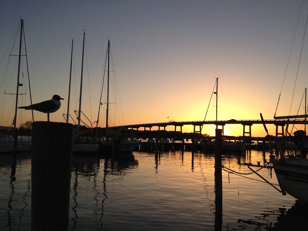
Oriental Sunset
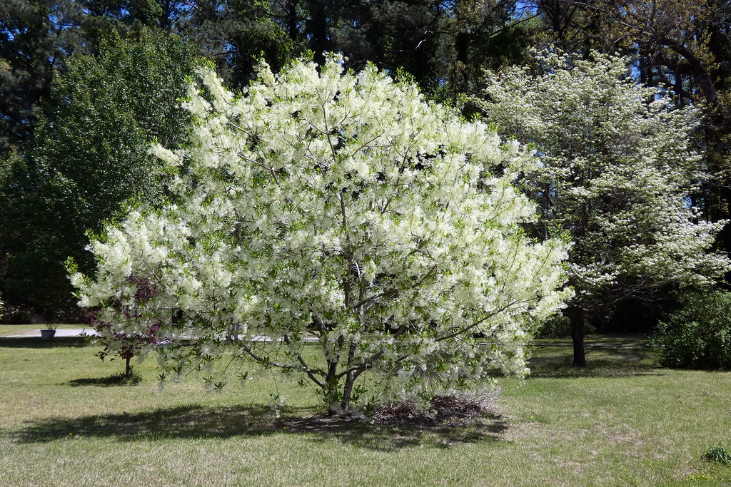
Fringetree (Chionanthus virginicus)

Peaceful sunset
The Boats of Oriental
P1010030.JPG
IMG_1114.JPG

Waiting for New Year's Eve
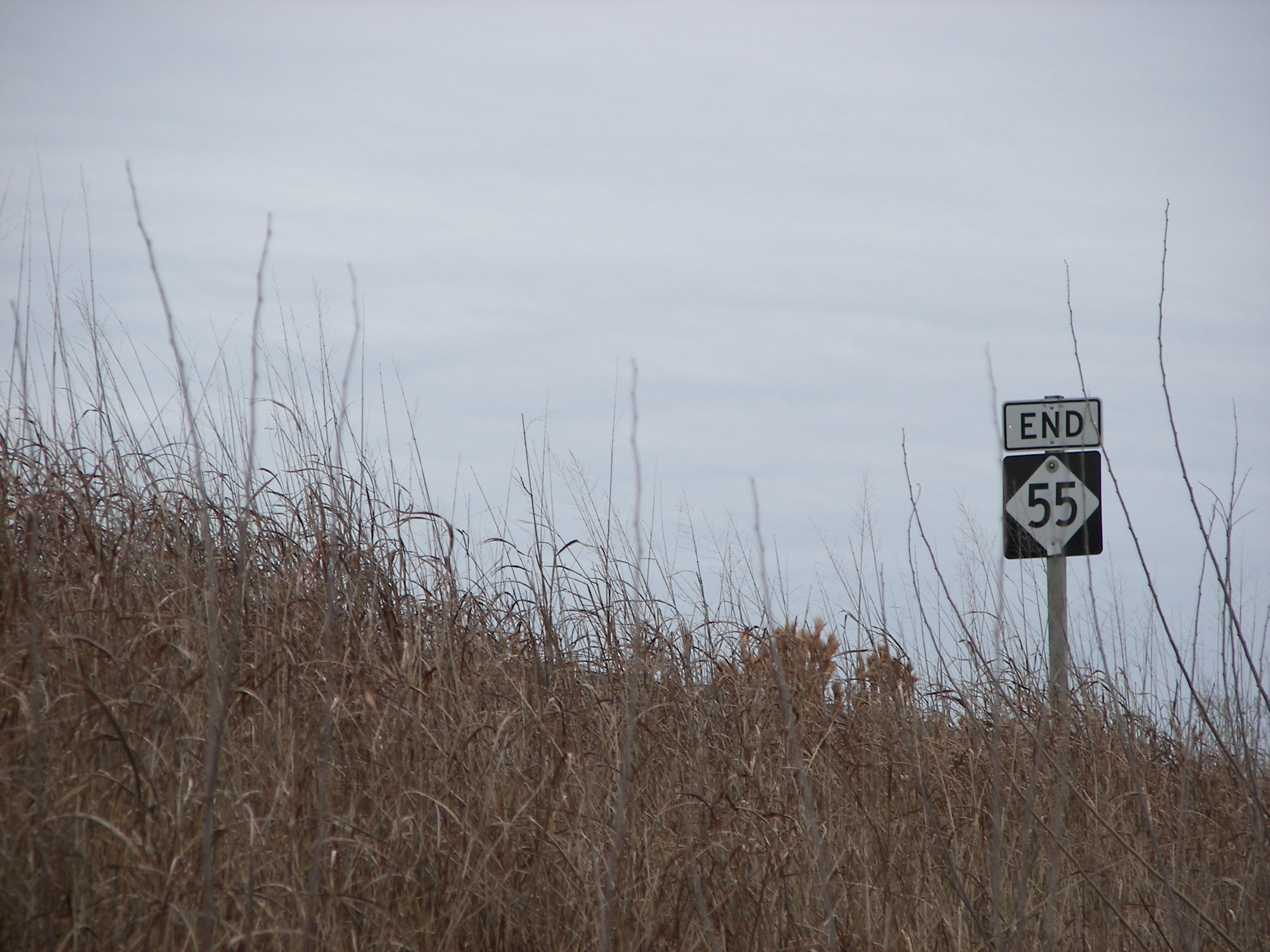
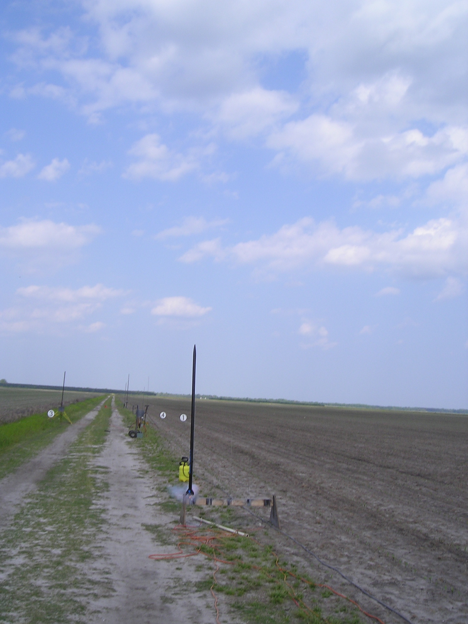
NC-55: The Dark End.
P1010033.JPG

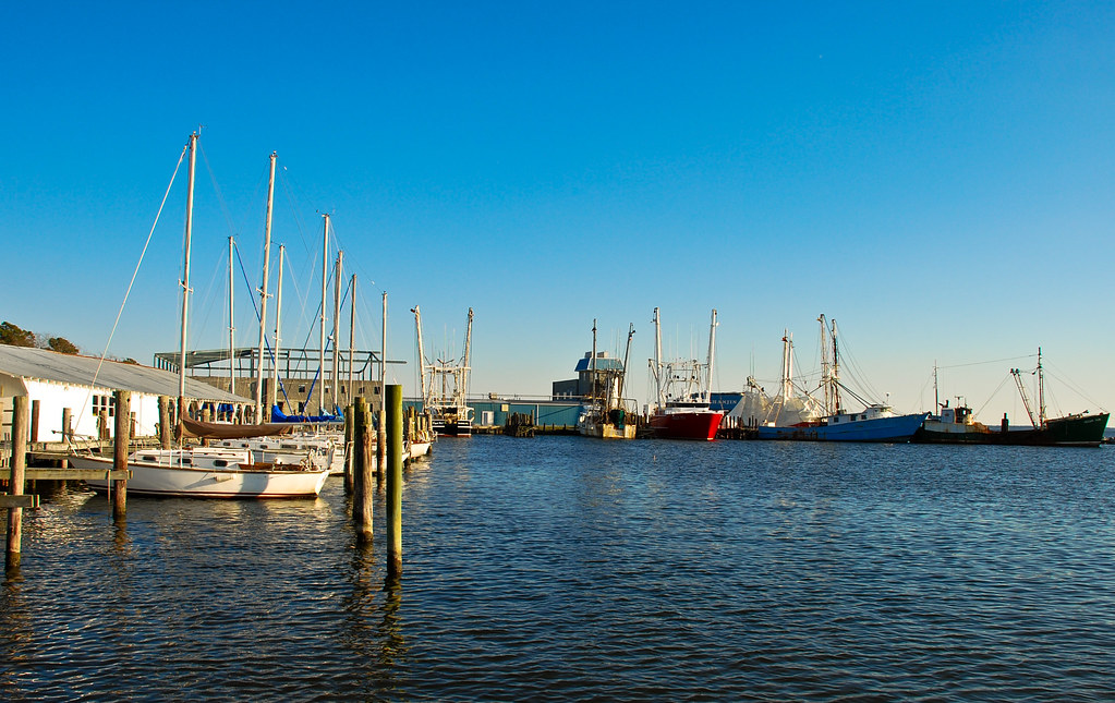
Oriental Marina
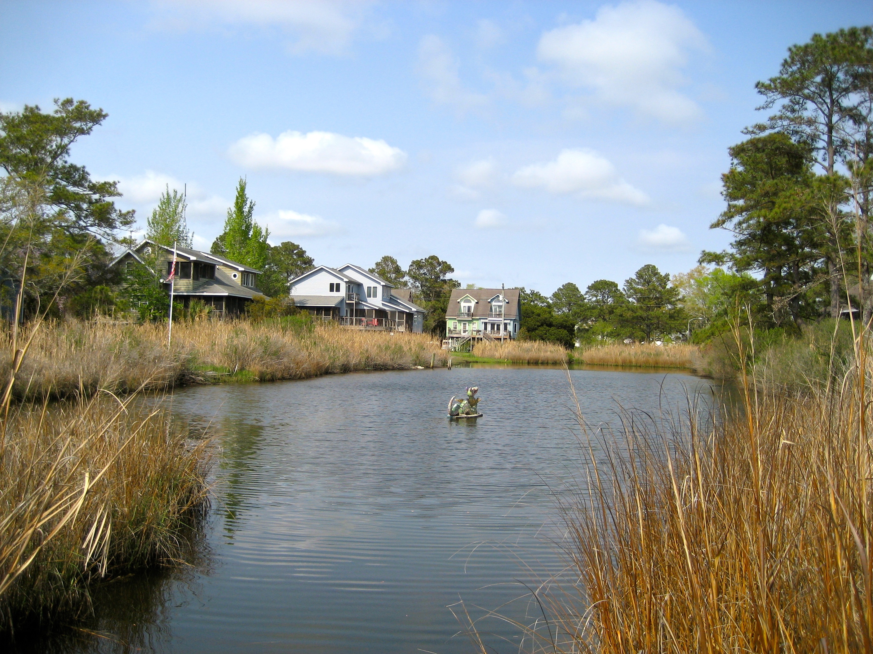
The Oriental Dragon floating in a secluded cove
P1010038.JPG
P1010041.JPG
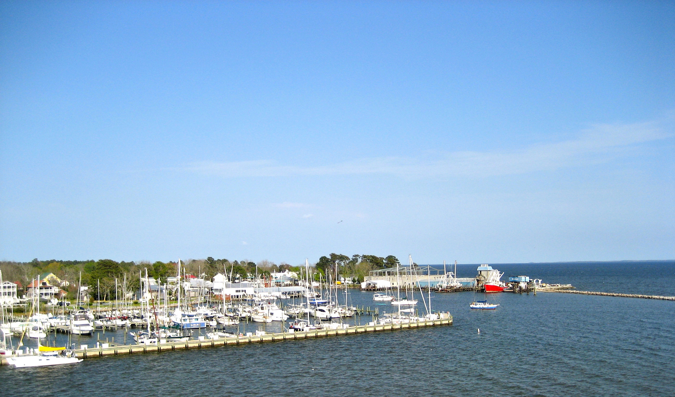
Oriental, NC marina and yacht club
Oriental, North Carolina
P1010023.JPG
P1010029.JPG

What Once Was
Topographic Map of NC-55, Bayboro, NC, USA
Find elevation by address:

Places near NC-55, Bayboro, NC, USA:
Hardison Tire & Oil Co
303 Forest Park Cir
250 Cowell Rd
207 Cowell Rd
166 Connett Ln
Alliance
232 Mill Pond Rd
369 Mill Pond Rd
702 Main St
Neals Creek Road
Campen Road
493 Main St
204 S 3rd St
Pamlico County Courthouse
1757 Old Bay River Rd
Bayboro
101 S 1st St
1446 Old Bay River Rd
Water Street
408 Vandemere Rd
Recent Searches:
- Elevation of Slanický ostrov, 01 Námestovo, Slovakia
- Elevation of Spaceport America, Co Rd A, Truth or Consequences, NM, USA
- Elevation of Warwick, RI, USA
- Elevation of Fern Rd, Whitmore, CA, USA
- Elevation of 62 Abbey St, Marshfield, MA, USA
- Elevation of Fernwood, Bradenton, FL, USA
- Elevation of Felindre, Swansea SA5 7LU, UK
- Elevation of Leyte Industrial Development Estate, Isabel, Leyte, Philippines
- Elevation of W Granada St, Tampa, FL, USA
- Elevation of Pykes Down, Ivybridge PL21 0BY, UK