Elevation of Forest Park Cir, Bayboro, NC, USA
Location: United States > North Carolina > Pamlico County > > Alliance >
Longitude: -76.796110
Latitude: 35.1473756
Elevation: 3m / 10feet
Barometric Pressure: 101KPa
Elevation Map:
Satellite Map:
Related Photos:
How Old Are You?
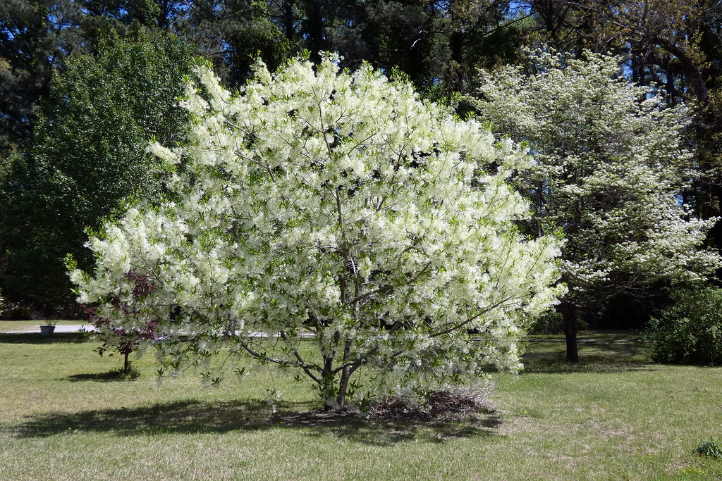
Fringetree (Chionanthus virginicus)
P1010030.JPG

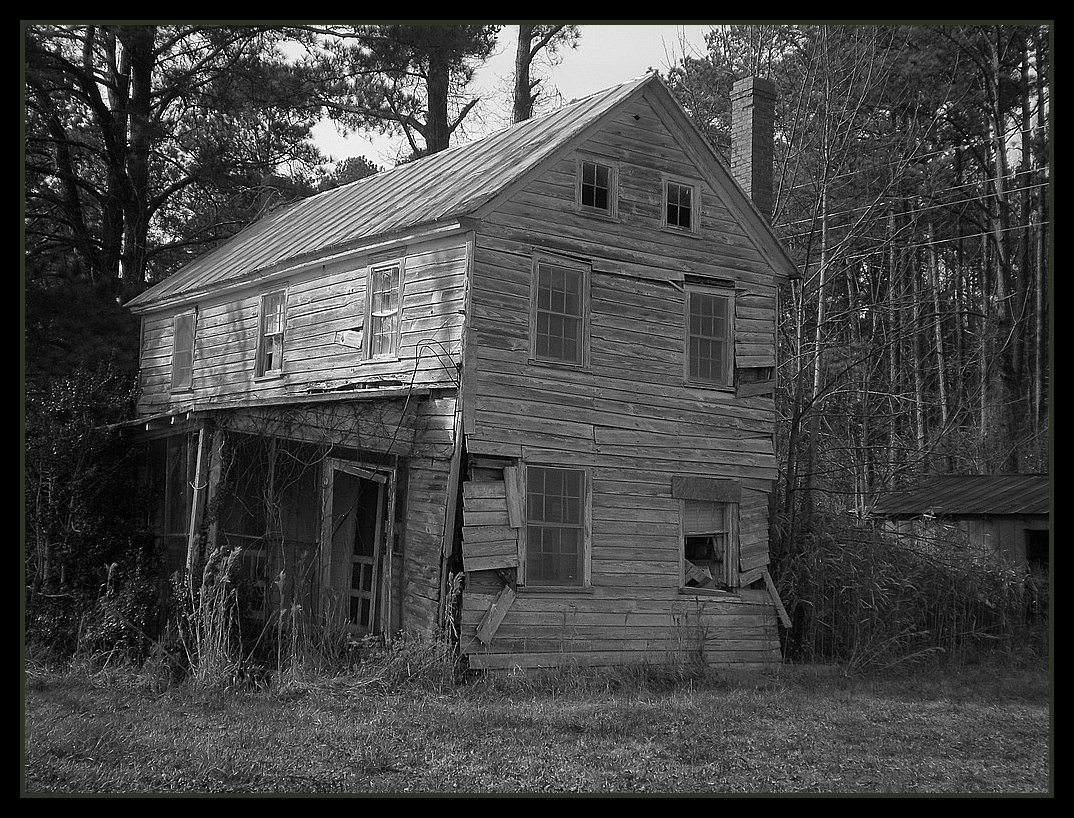
What Once Was
P1010038.JPG
P1010041.JPG
IMG_1114.JPG
P1010033.JPG
P1010023.JPG
P1010029.JPG
Topographic Map of Forest Park Cir, Bayboro, NC, USA
Find elevation by address:

Places near Forest Park Cir, Bayboro, NC, USA:
13631 Nc-55
Hardison Tire & Oil Co
166 Connett Ln
250 Cowell Rd
Alliance
207 Cowell Rd
232 Mill Pond Rd
369 Mill Pond Rd
702 Main St
Neals Creek Road
Campen Road
493 Main St
1757 Old Bay River Rd
204 S 3rd St
Pamlico County Courthouse
Bayboro
1446 Old Bay River Rd
101 S 1st St
Water Street
408 Vandemere Rd
Recent Searches:
- Elevation of Dog Leg Dr, Minden, NV, USA
- Elevation of Dog Leg Dr, Minden, NV, USA
- Elevation of Kambingan Sa Pansol Atbp., Purok 7 Pansol, Candaba, Pampanga, Philippines
- Elevation of Pinewood Dr, New Bern, NC, USA
- Elevation of Mountain View, CA, USA
- Elevation of Foligno, Province of Perugia, Italy
- Elevation of Blauwestad, Netherlands
- Elevation of Bella Terra Blvd, Estero, FL, USA
- Elevation of Estates Loop, Priest River, ID, USA
- Elevation of Woodland Oak Pl, Thousand Oaks, CA, USA