Elevation of Alliance, NC, USA
Location: United States > North Carolina > Pamlico County > >
Longitude: -76.802155
Latitude: 35.1448881
Elevation: 3m / 10feet
Barometric Pressure: 101KPa
Elevation Map:
Satellite Map:
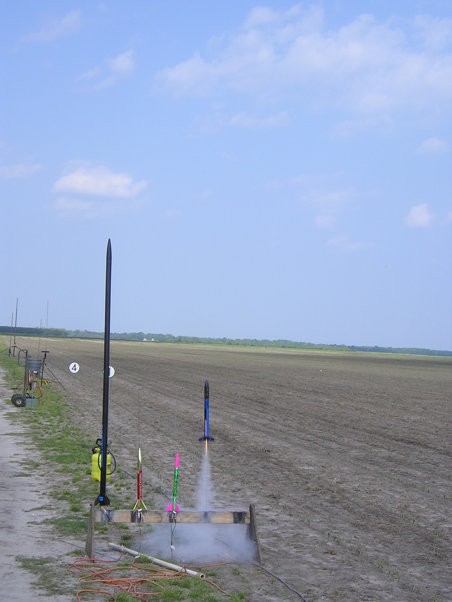
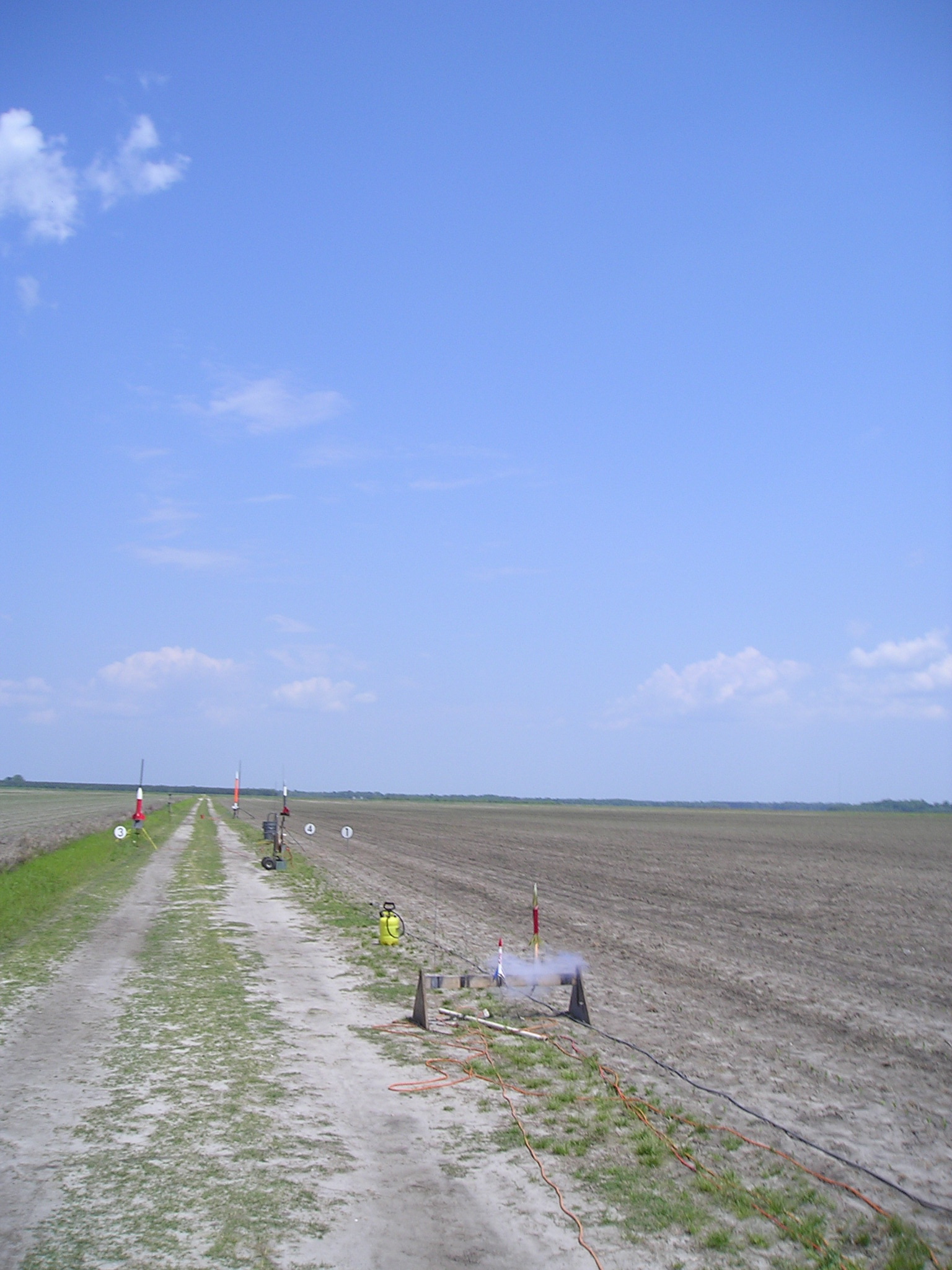
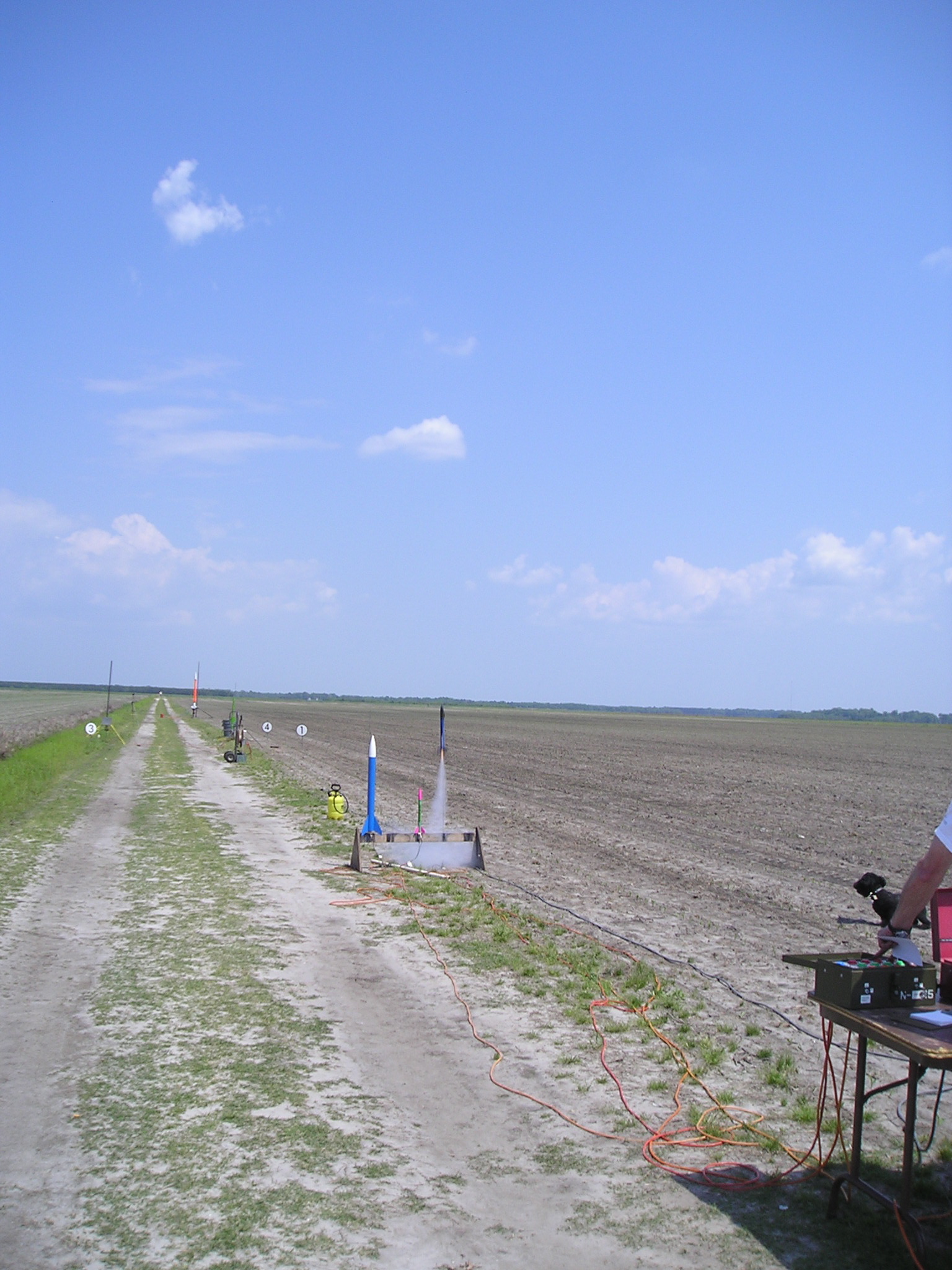
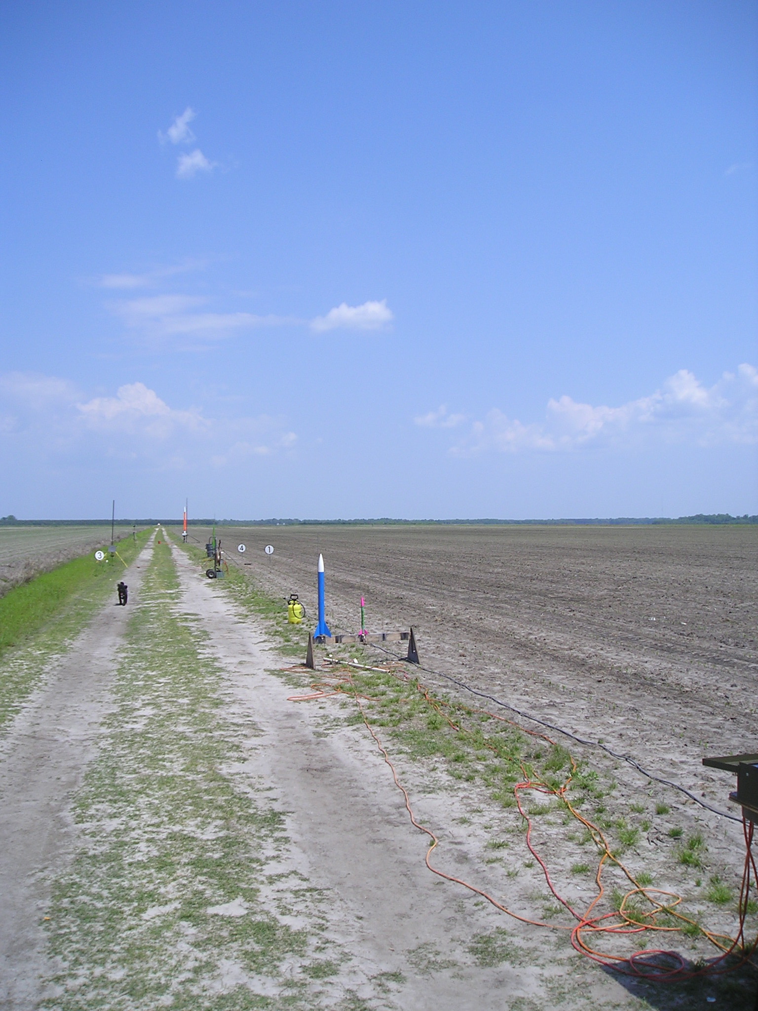
Related Photos:
How Old Are You?

Baird Creek Pier

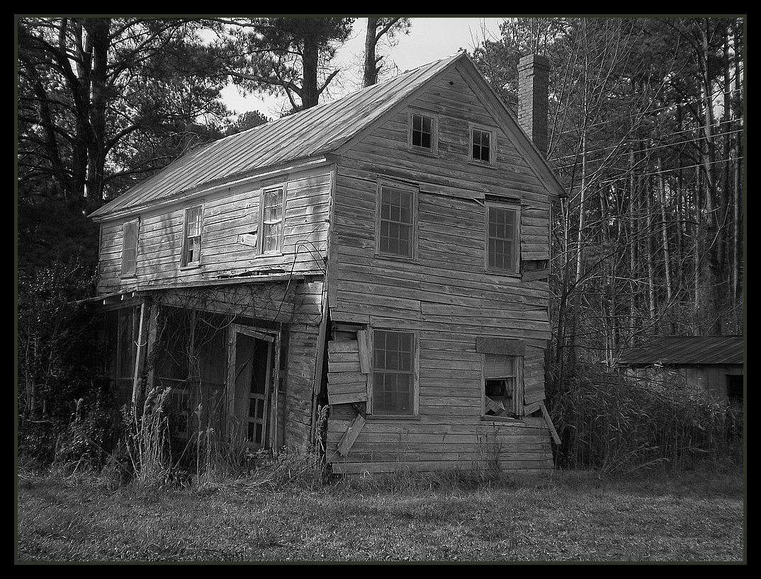
What Once Was
IMG_1114.JPG
P1010030.JPG
P1010033.JPG
P1010038.JPG
P1010026.JPG

P1010031.JPG
P1010020.JPG
P1010021.JPG
P1010029.JPG
Topographic Map of Alliance, NC, USA
Find elevation by address:

Places near Alliance, NC, USA:
166 Connett Ln
232 Mill Pond Rd
Hardison Tire & Oil Co
303 Forest Park Cir
369 Mill Pond Rd
207 Cowell Rd
250 Cowell Rd
13631 Nc-55
Campen Road
493 Main St
1757 Old Bay River Rd
1446 Old Bay River Rd
702 Main St
Neals Creek Road
Food Lion
Old Bay River Road
204 S 3rd St
Pamlico County Courthouse
Bayboro
Walmart
Recent Searches:
- Elevation of Pykes Down, Ivybridge PL21 0BY, UK
- Elevation of Jalan Senandin, Lutong, Miri, Sarawak, Malaysia
- Elevation of Bilohirs'k
- Elevation of 30 Oak Lawn Dr, Barkhamsted, CT, USA
- Elevation of Luther Road, Luther Rd, Auburn, CA, USA
- Elevation of Unnamed Road, Respublika Severnaya Osetiya — Alaniya, Russia
- Elevation of Verkhny Fiagdon, North Ossetia–Alania Republic, Russia
- Elevation of F. Viola Hiway, San Rafael, Bulacan, Philippines
- Elevation of Herbage Dr, Gulfport, MS, USA
- Elevation of Lilac Cir, Haldimand, ON N3W 2G9, Canada