Elevation of Mill Pond Rd, Bayboro, NC, USA
Location: United States > North Carolina > Pamlico County > > Alliance >
Longitude: -76.805466
Latitude: 35.150574
Elevation: 4m / 13feet
Barometric Pressure: 101KPa
Elevation Map:
Satellite Map:
Related Photos:
How Old Are You?
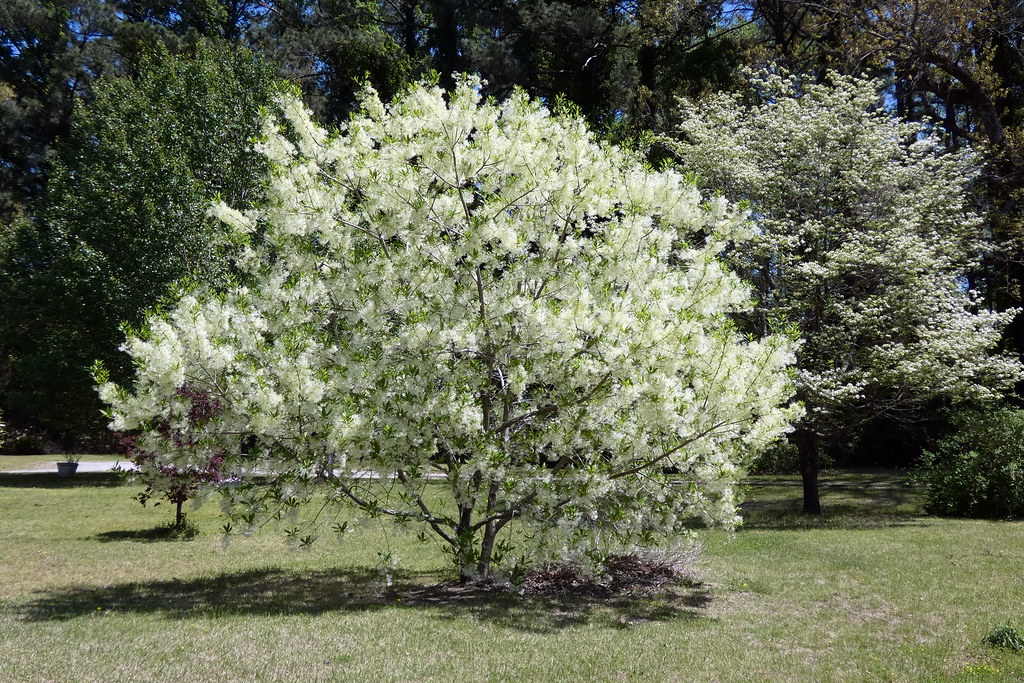
Fringetree (Chionanthus virginicus)
P1010030.JPG
IMG_1114.JPG
P1010033.JPG
P1010038.JPG
P1010041.JPG
P1010023.JPG
P1010029.JPG

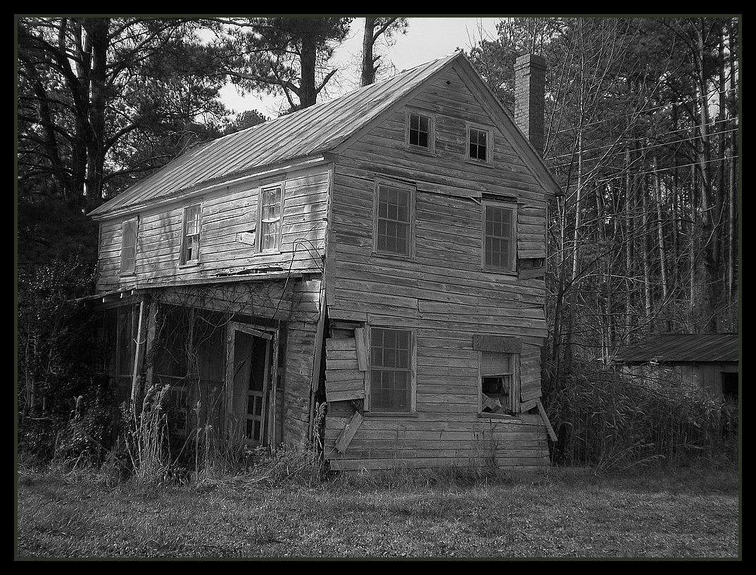
What Once Was
Topographic Map of Mill Pond Rd, Bayboro, NC, USA
Find elevation by address:

Places near Mill Pond Rd, Bayboro, NC, USA:
232 Mill Pond Rd
166 Connett Ln
Alliance
303 Forest Park Cir
Hardison Tire & Oil Co
493 Main St
13631 Nc-55
207 Cowell Rd
250 Cowell Rd
Campen Road
1757 Old Bay River Rd
1446 Old Bay River Rd
702 Main St
Food Lion
Neals Creek Road
Old Bay River Road
Walmart
686 Nc-306
204 S 3rd St
Pamlico County Courthouse
Recent Searches:
- Elevation of W Granada St, Tampa, FL, USA
- Elevation of Pykes Down, Ivybridge PL21 0BY, UK
- Elevation of Jalan Senandin, Lutong, Miri, Sarawak, Malaysia
- Elevation of Bilohirs'k
- Elevation of 30 Oak Lawn Dr, Barkhamsted, CT, USA
- Elevation of Luther Road, Luther Rd, Auburn, CA, USA
- Elevation of Unnamed Road, Respublika Severnaya Osetiya — Alaniya, Russia
- Elevation of Verkhny Fiagdon, North Ossetia–Alania Republic, Russia
- Elevation of F. Viola Hiway, San Rafael, Bulacan, Philippines
- Elevation of Herbage Dr, Gulfport, MS, USA