Elevation of Nakoro, Fiji
Location: Fiji > Central Division > Serua >
Longitude: 177.900991
Latitude: -17.950053
Elevation: 222m / 728feet
Barometric Pressure: 99KPa
Elevation Map:
Satellite Map:
Related Photos:


Waterfall upriver in Fiji

Tacirua's Proteus HF 877

george from the back
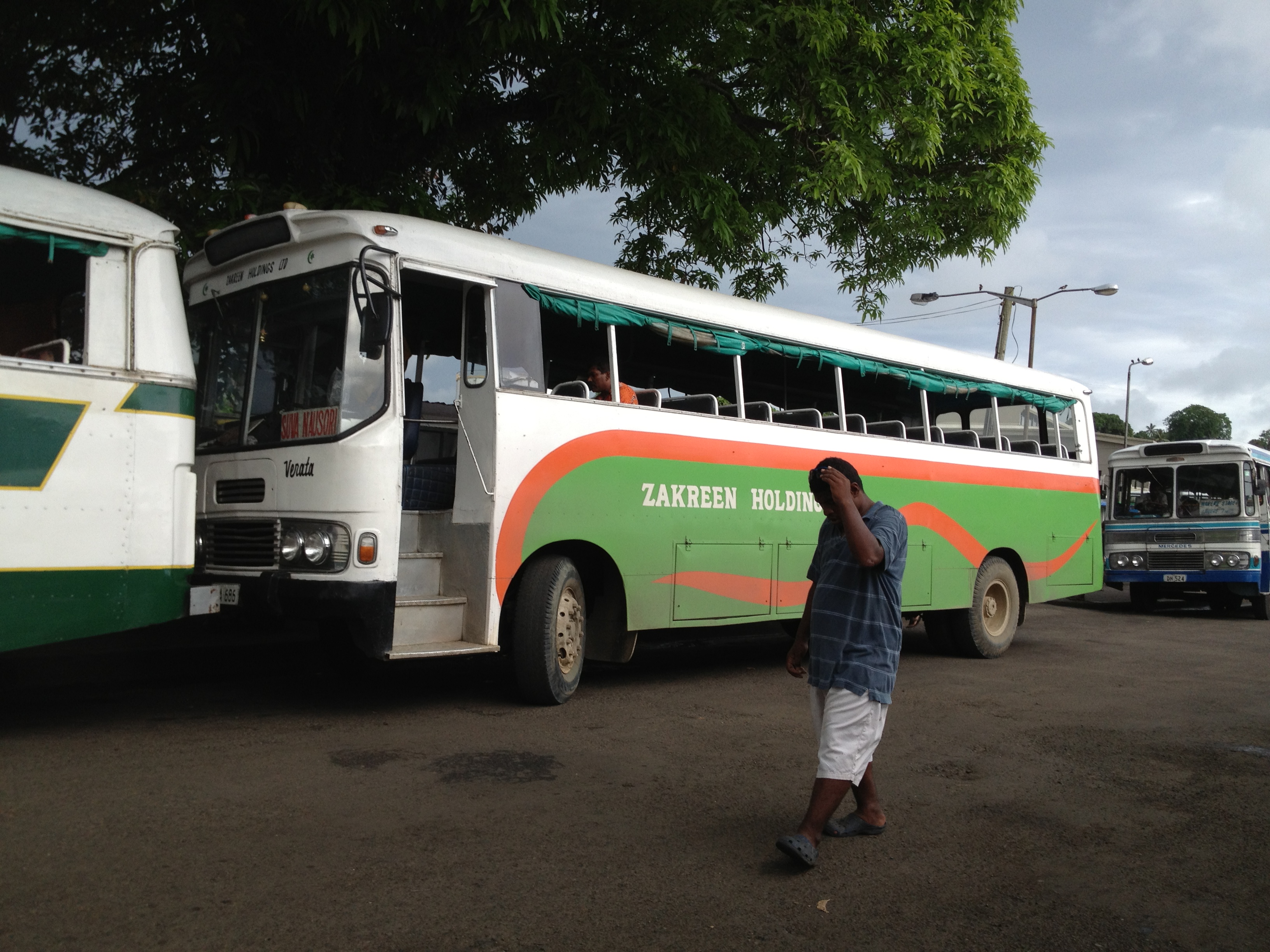
Zakreen Holdings

hosts in Fiji
Topographic Map of Nakoro, Fiji
Find elevation by address:

Places in Nakoro, Fiji:
Places near Nakoro, Fiji:
Fiji Islands
Western Division
Serua
Nuku
Fiji
Unnamed Road
Pacific Heights Place Road
Central Division
Navua
Ba
Rewa
Nadi
Yaqara
Ra
Macharthur Street
Gladstone Road
22 Denison Rd
Denison Road
Bau Street
Duncan Road
Recent Searches:
- Elevation of Elwyn Dr, Roanoke Rapids, NC, USA
- Elevation of Congressional Dr, Stevensville, MD, USA
- Elevation of Bellview Rd, McLean, VA, USA
- Elevation of Stage Island Rd, Chatham, MA, USA
- Elevation of Shibuya Scramble Crossing, 21 Udagawacho, Shibuya City, Tokyo -, Japan
- Elevation of Jadagoniai, Kaunas District Municipality, Lithuania
- Elevation of Pagonija rock, Kranto 7-oji g. 8"N, Kaunas, Lithuania
- Elevation of Co Rd 87, Jamestown, CO, USA
- Elevation of Tenjo, Cundinamarca, Colombia
- Elevation of Côte-des-Neiges, Montreal, QC H4A 3J6, Canada