Elevation of Navua, Fiji
Location: Fiji > Central Division > Serua >
Longitude: 178.173042
Latitude: -18.223165
Elevation: 5m / 16feet
Barometric Pressure: 101KPa
Elevation Map:
Satellite Map:
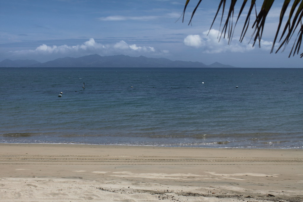
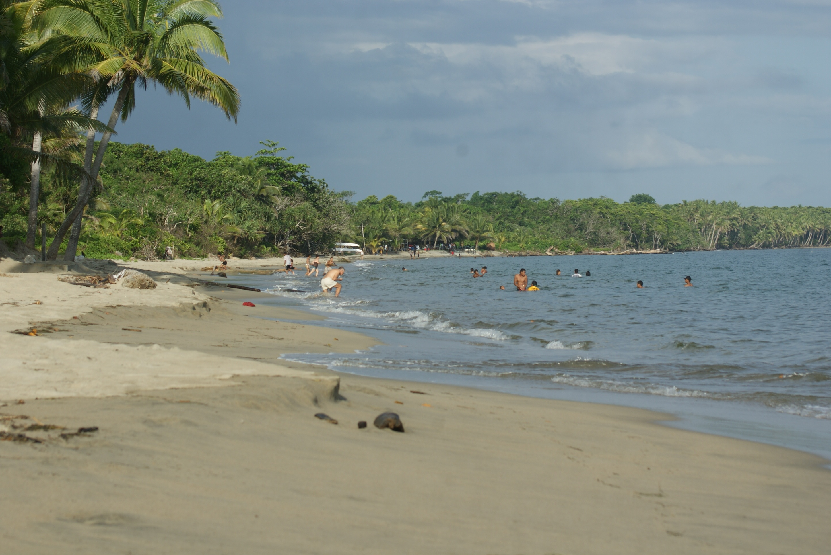
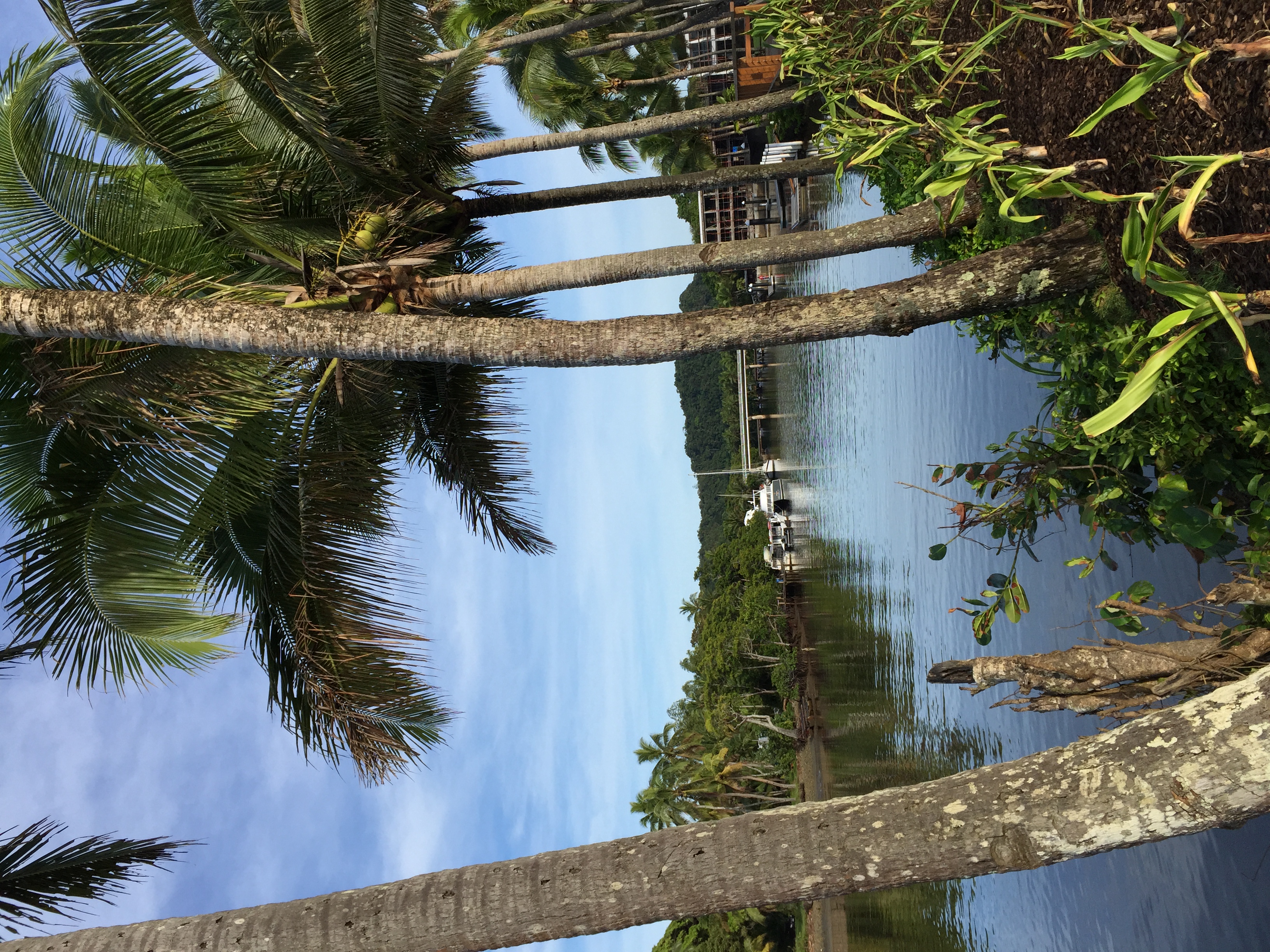
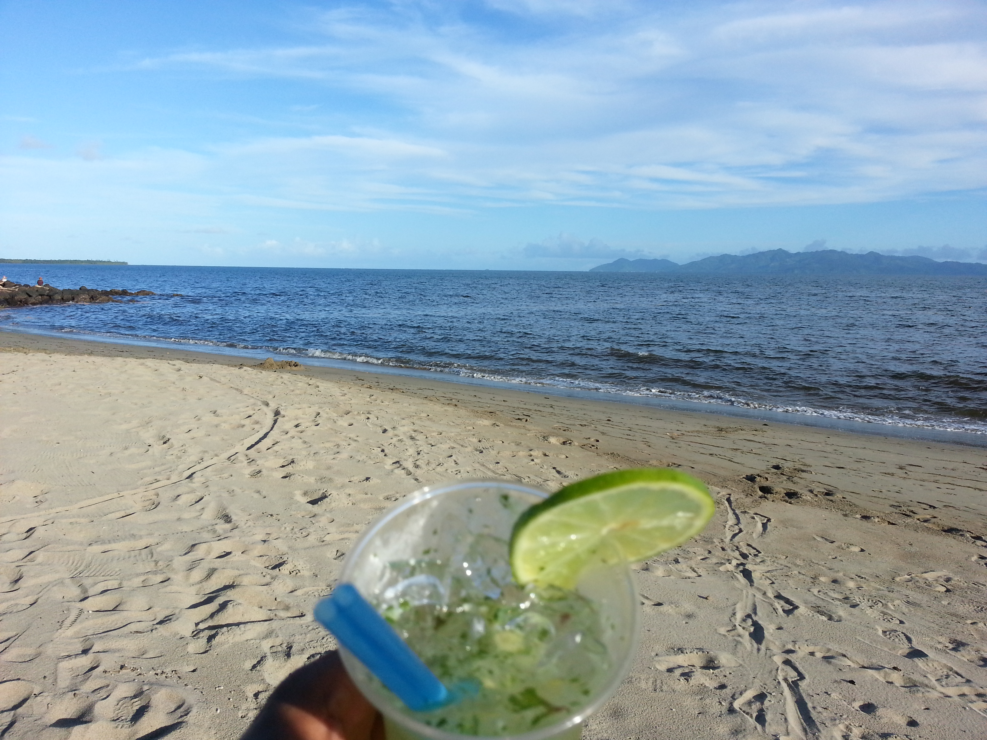
Related Photos:

Colors are the smiles of nature. (Leigh Hunt)

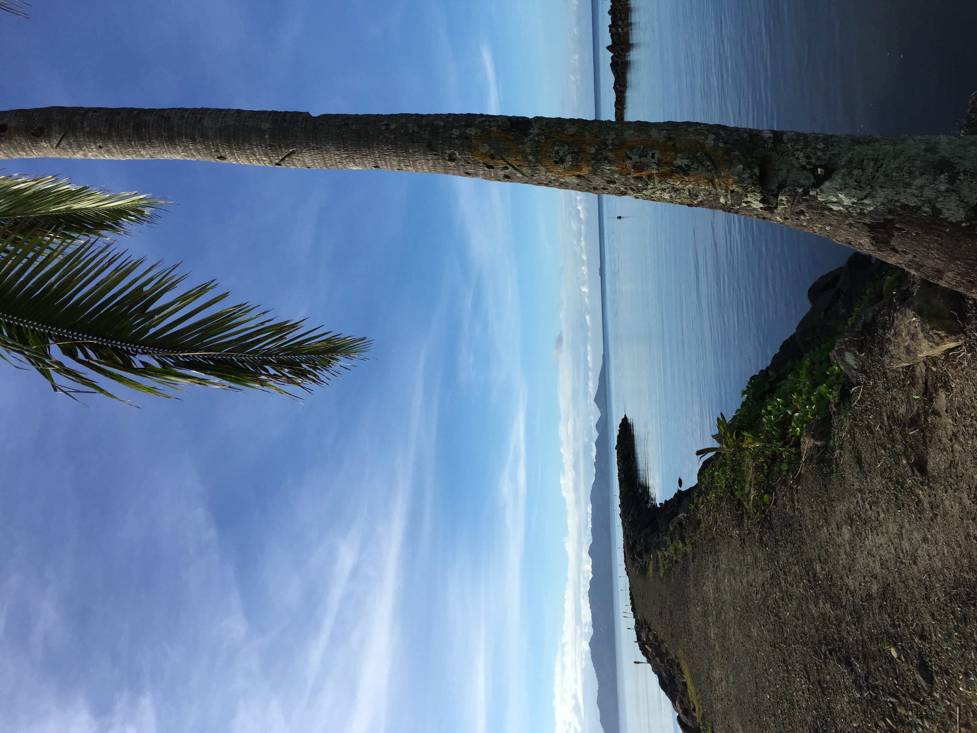
Nanuku Point - Fiji - higher quality version in description
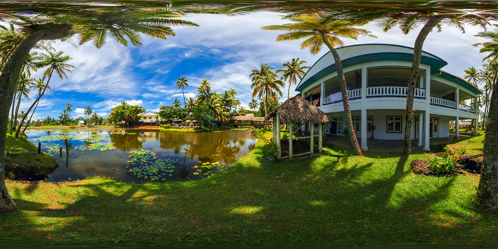
Arts Village and pond in Pacific Harbor, Fiji - the multimedia virtual tour in description
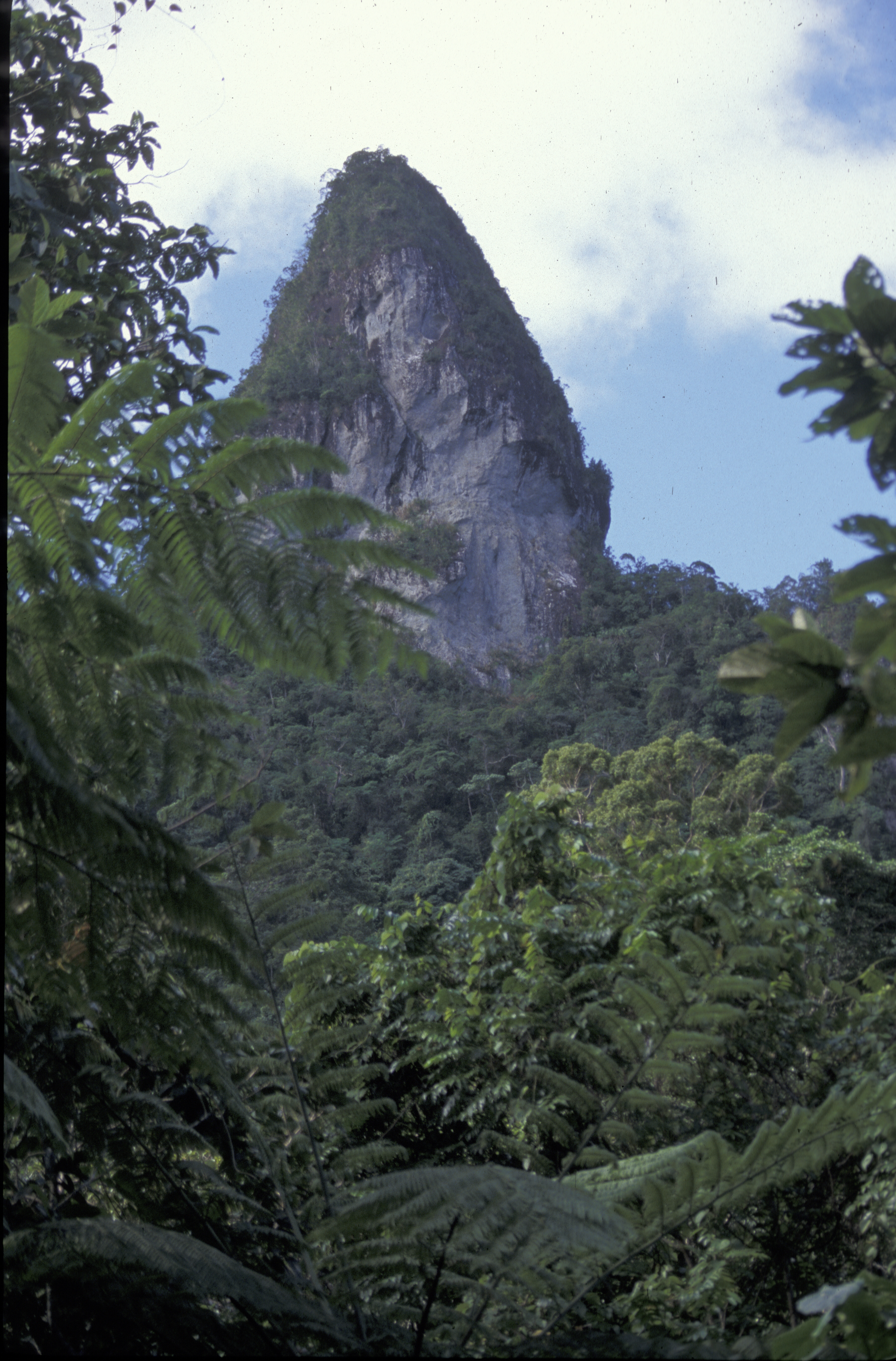
Joski's thumb, forest, mountain, Viti Levu, Fiji, 1998_06_23.jpg

degraded forest, Joski's thumb, Viti Levu, Fiji, 1998_06_23.jpg
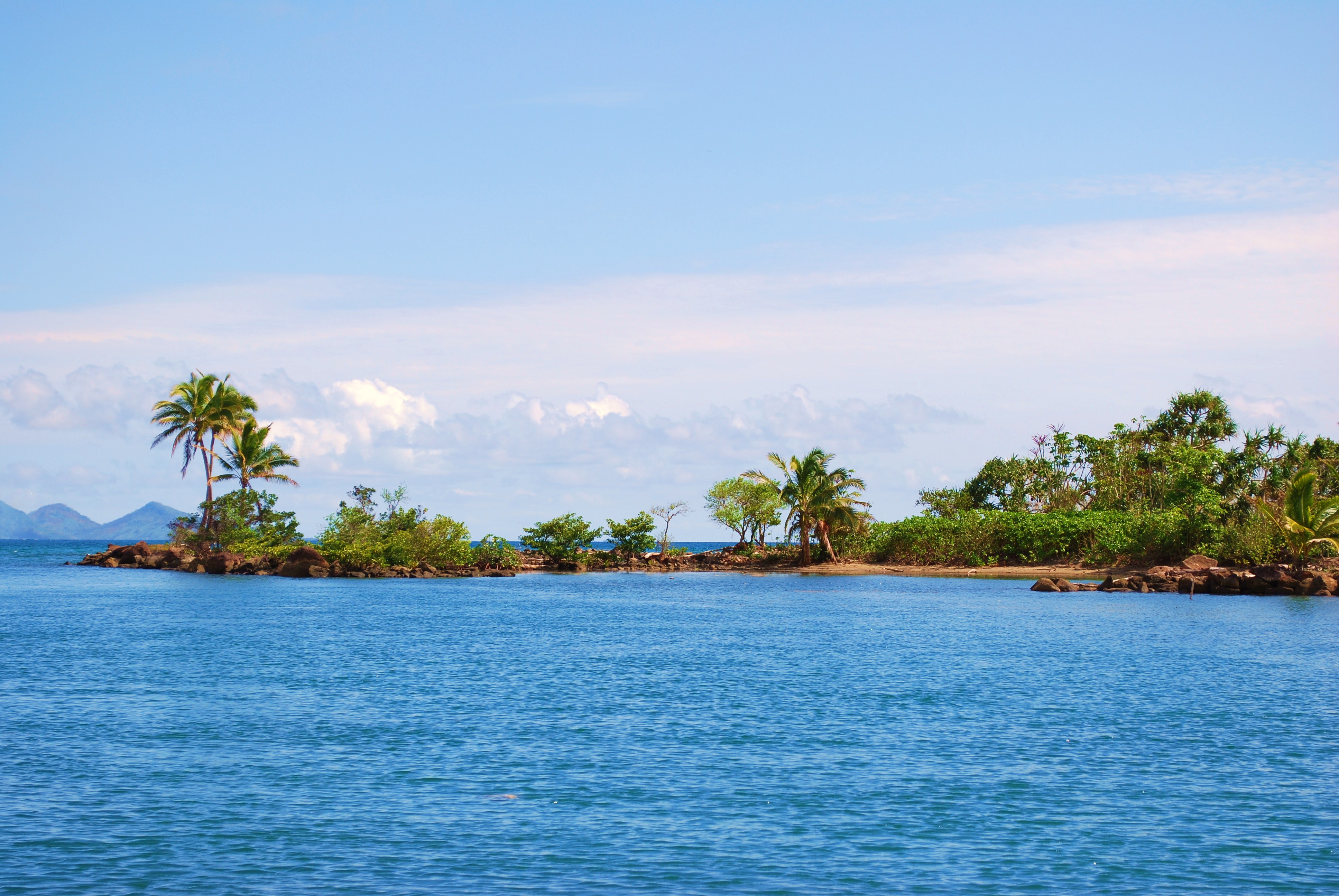
Beqa Lagoon, Fiji

#pool #water #resorts
Wonderful island of Fiji
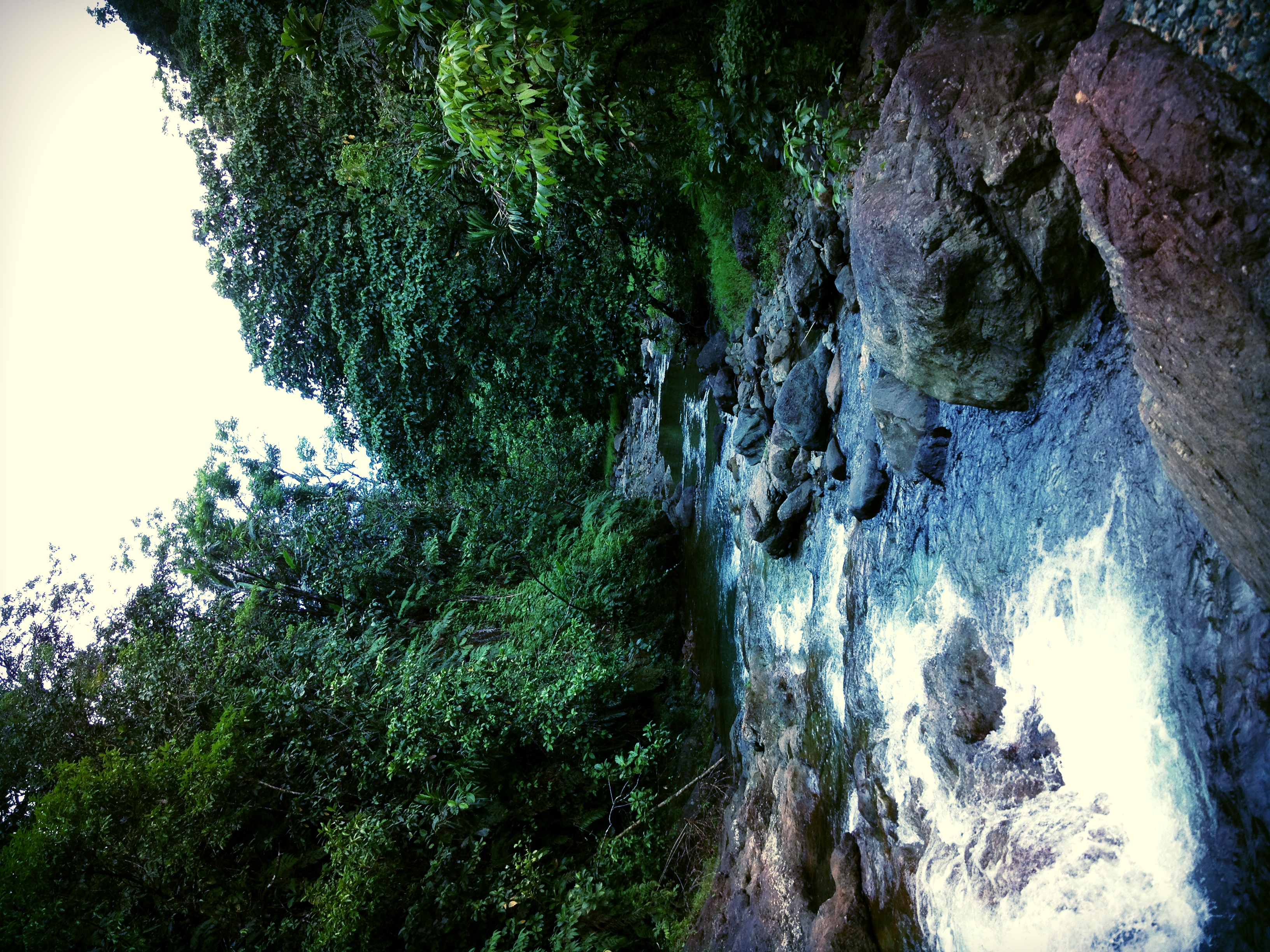
Nabukavesi Creek, Namosi
2014-03-25 14.30.47

Fiji-2013-01070.jpg
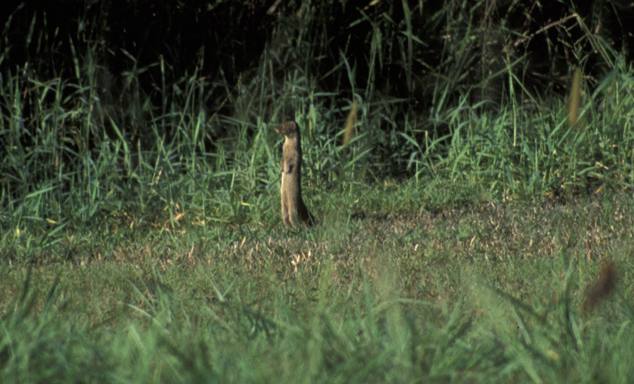
mongoose, introduced predator, Viti Levu, Fiji, 1998_06_23 001.jpg
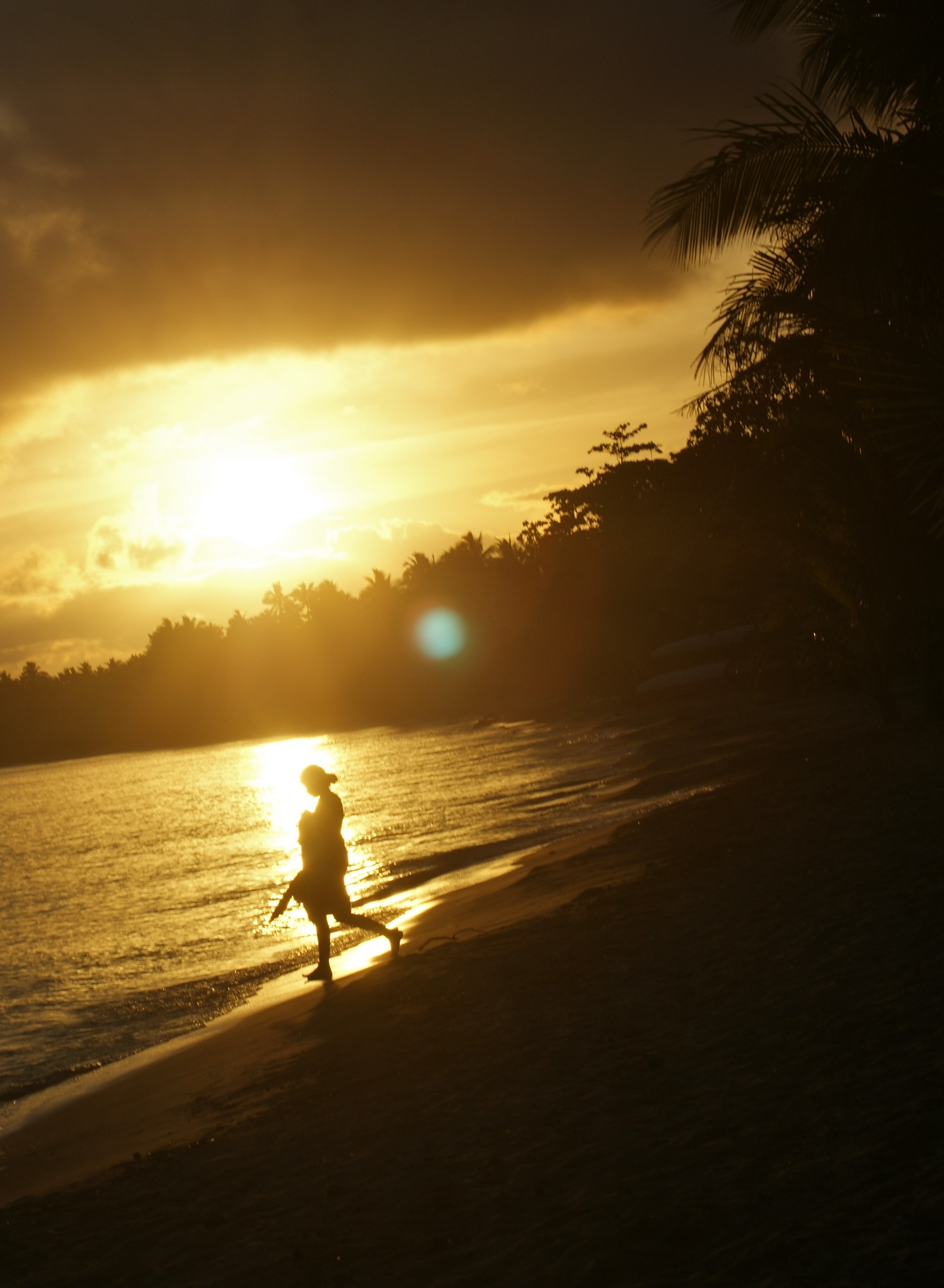
a sunset silhouette
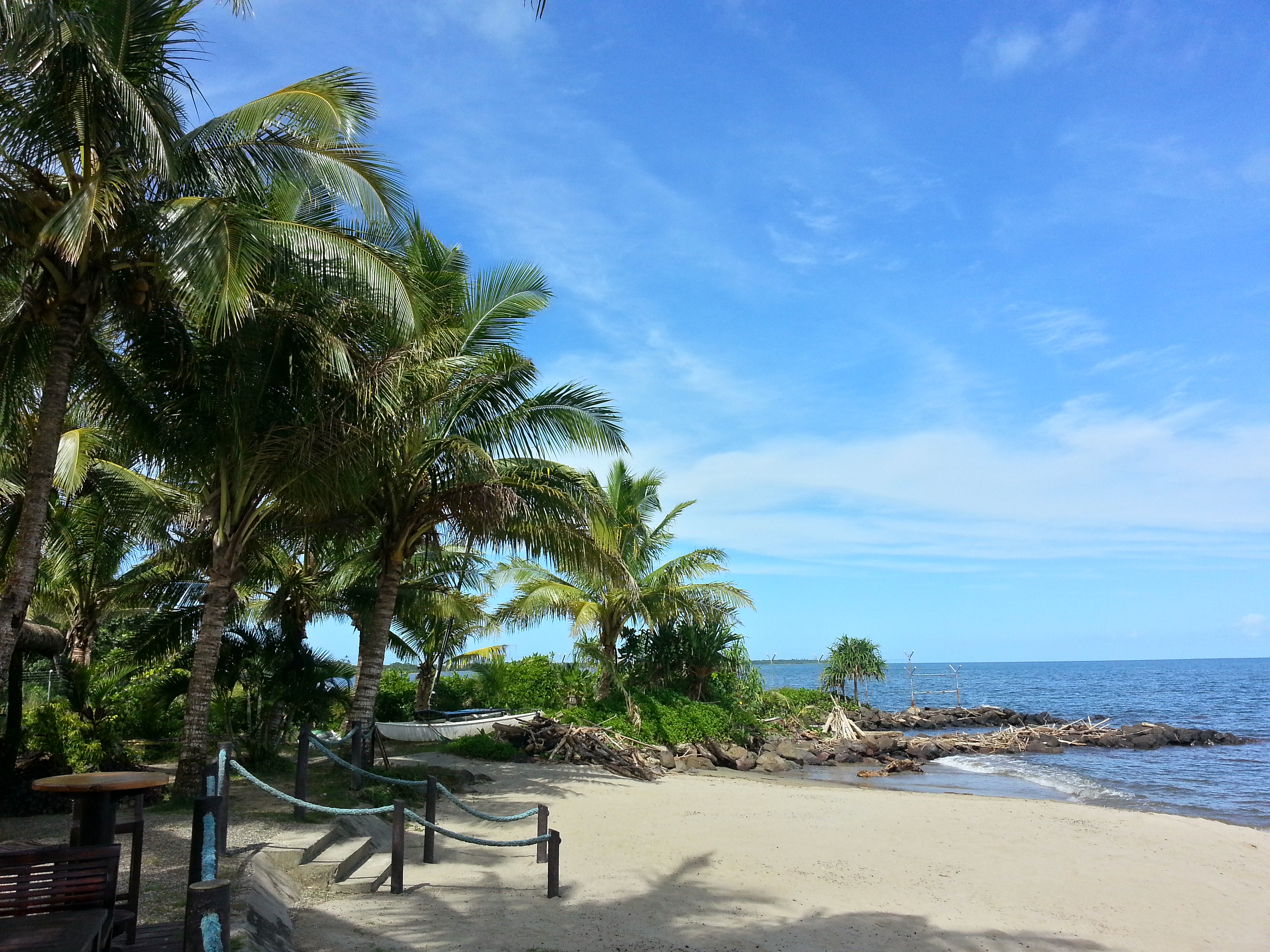
Pacific Harbour, Fiji

사진 2016. 6. 3. 오전 11 12 41
from The Pearl end
Wonderful island of Fiji
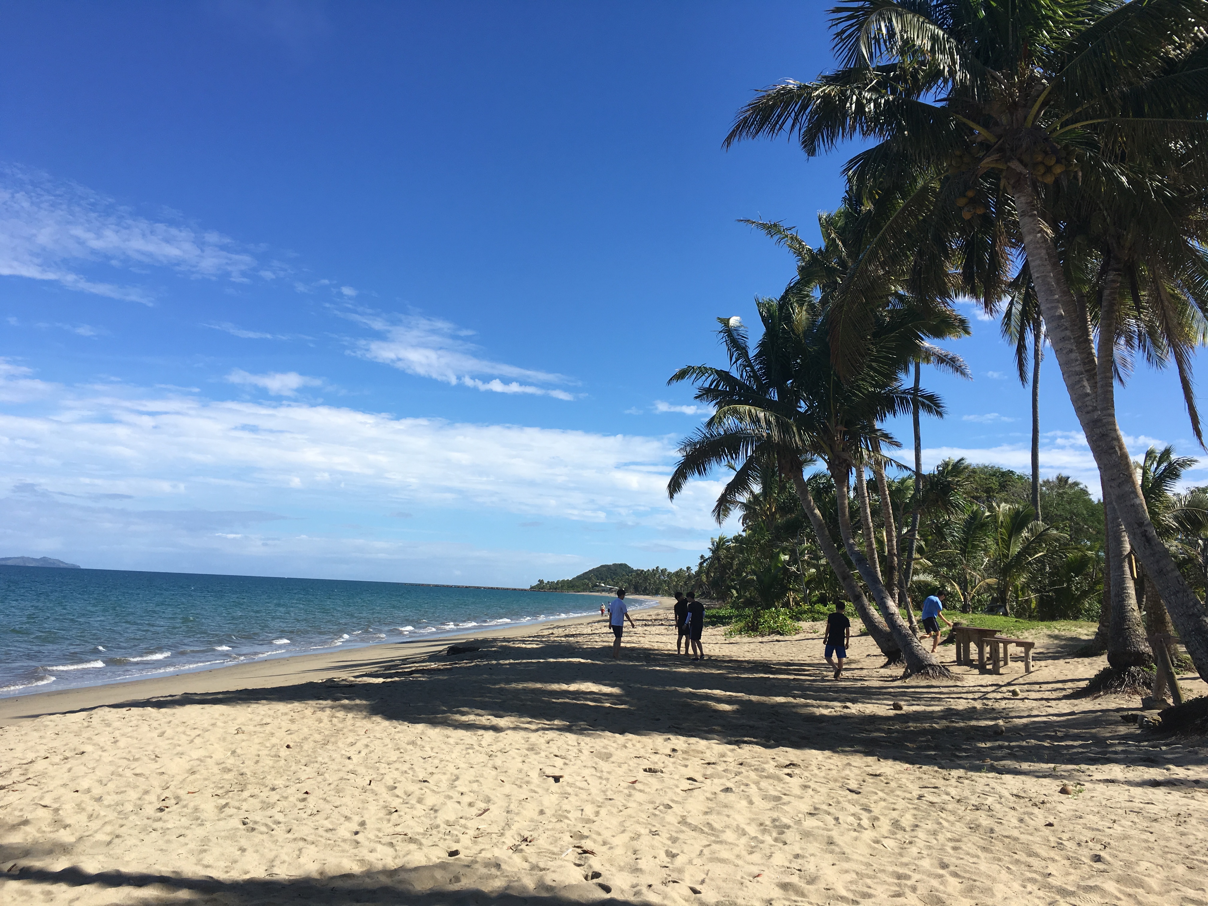
사진 2016. 6. 3. 오전 10 23 37
2014-03-25 17.06.05
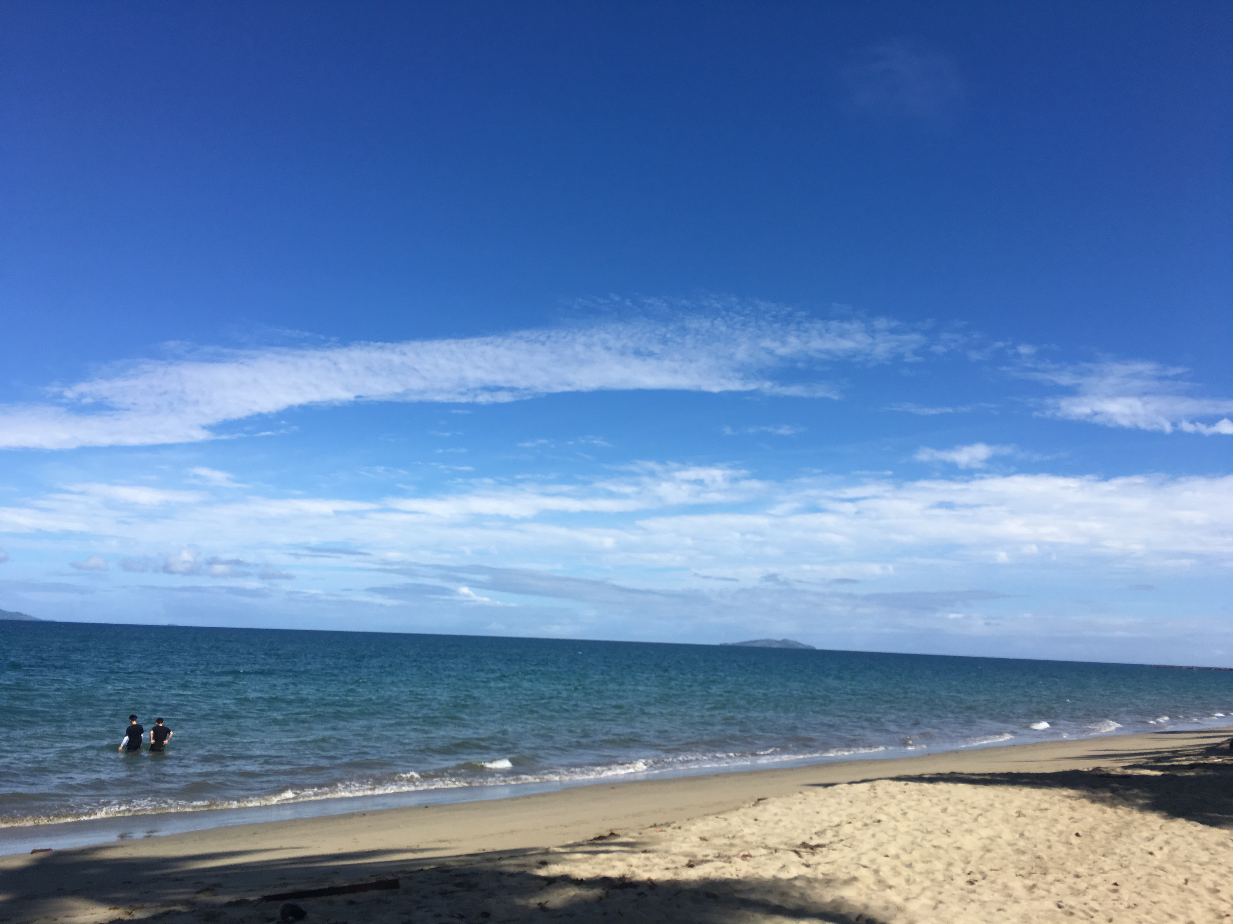
사진 2016. 6. 3. 오전 10 24 03
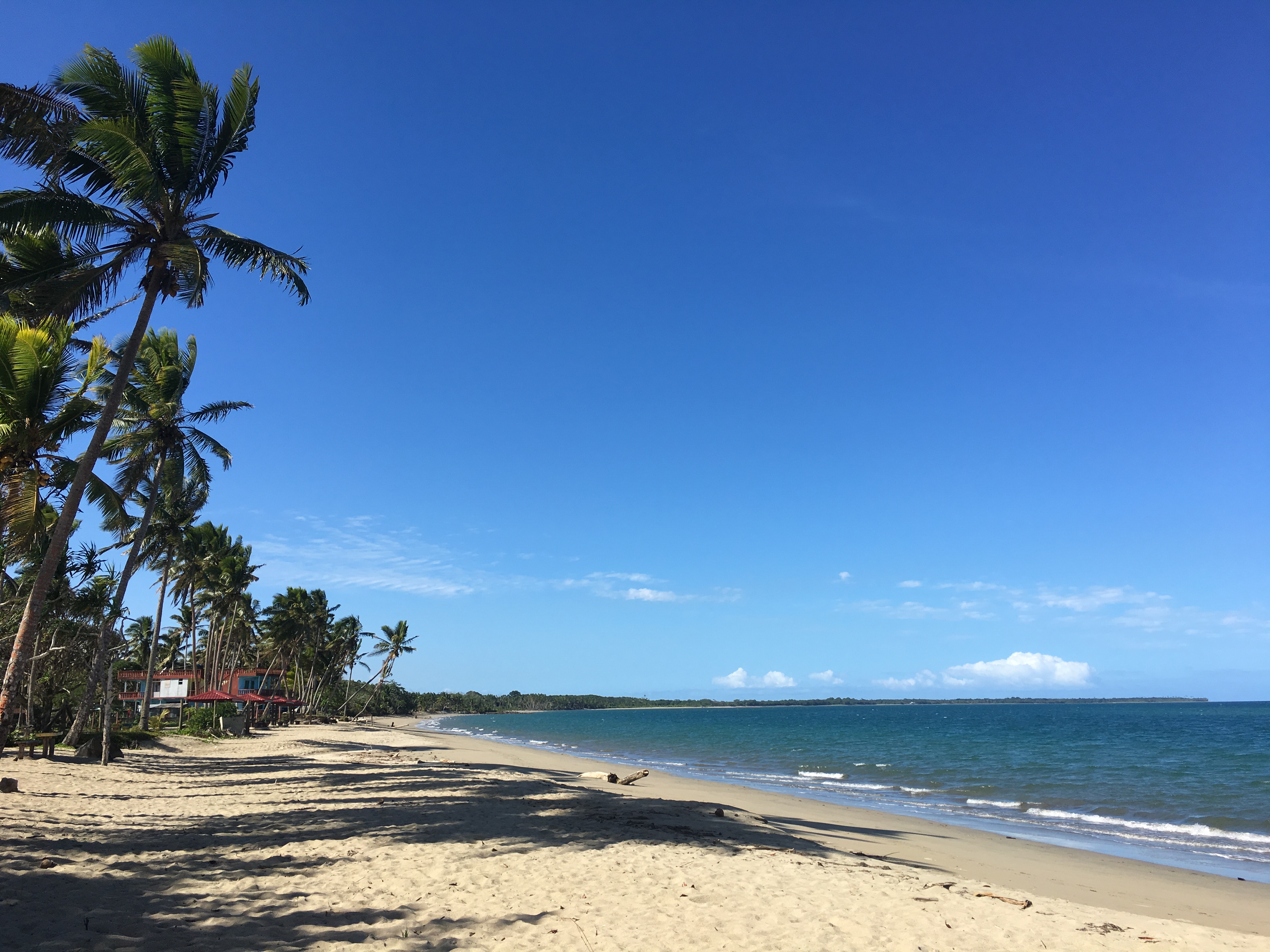
사진 2016. 6. 3. 오전 10 23 47

사진 2016. 6. 3. 오전 11 12 38

사진 2016. 6. 3. 오전 11 03 37
Topographic Map of Navua, Fiji
Find elevation by address:

Places near Navua, Fiji:
Pacific Heights Place Road
Unnamed Road
Serua
Nuku
Rewa
Macharthur Street
Gladstone Road
22 Denison Rd
Denison Road
Duncan Road
Bau Street
Fiji Islands
Central Division
Suva
Nakoro
Fiji
Western Division
Ra
Ba
Yaqara
Recent Searches:
- Elevation of Lagasgasan, X+CQH, Tiaong, Quezon, Philippines
- Elevation of Rojo Ct, Atascadero, CA, USA
- Elevation of Flagstaff Drive, Flagstaff Dr, North Carolina, USA
- Elevation of Avery Ln, Lakeland, FL, USA
- Elevation of Woolwine, VA, USA
- Elevation of Lumagwas Diversified Farmers Multi-Purpose Cooperative, Lumagwas, Adtuyon, RV32+MH7, Pangantucan, Bukidnon, Philippines
- Elevation of Homestead Ridge, New Braunfels, TX, USA
- Elevation of Orchard Road, Orchard Rd, Marlborough, NY, USA
- Elevation of 12 Hutchinson Woods Dr, Fletcher, NC, USA
- Elevation of Holloway Ave, San Francisco, CA, USA