Elevation of Serua, Fiji
Location: Fiji > Central Division >
Longitude: 178.050979
Latitude: -18.180474
Elevation: 233m / 764feet
Barometric Pressure: 99KPa
Elevation Map:
Satellite Map:
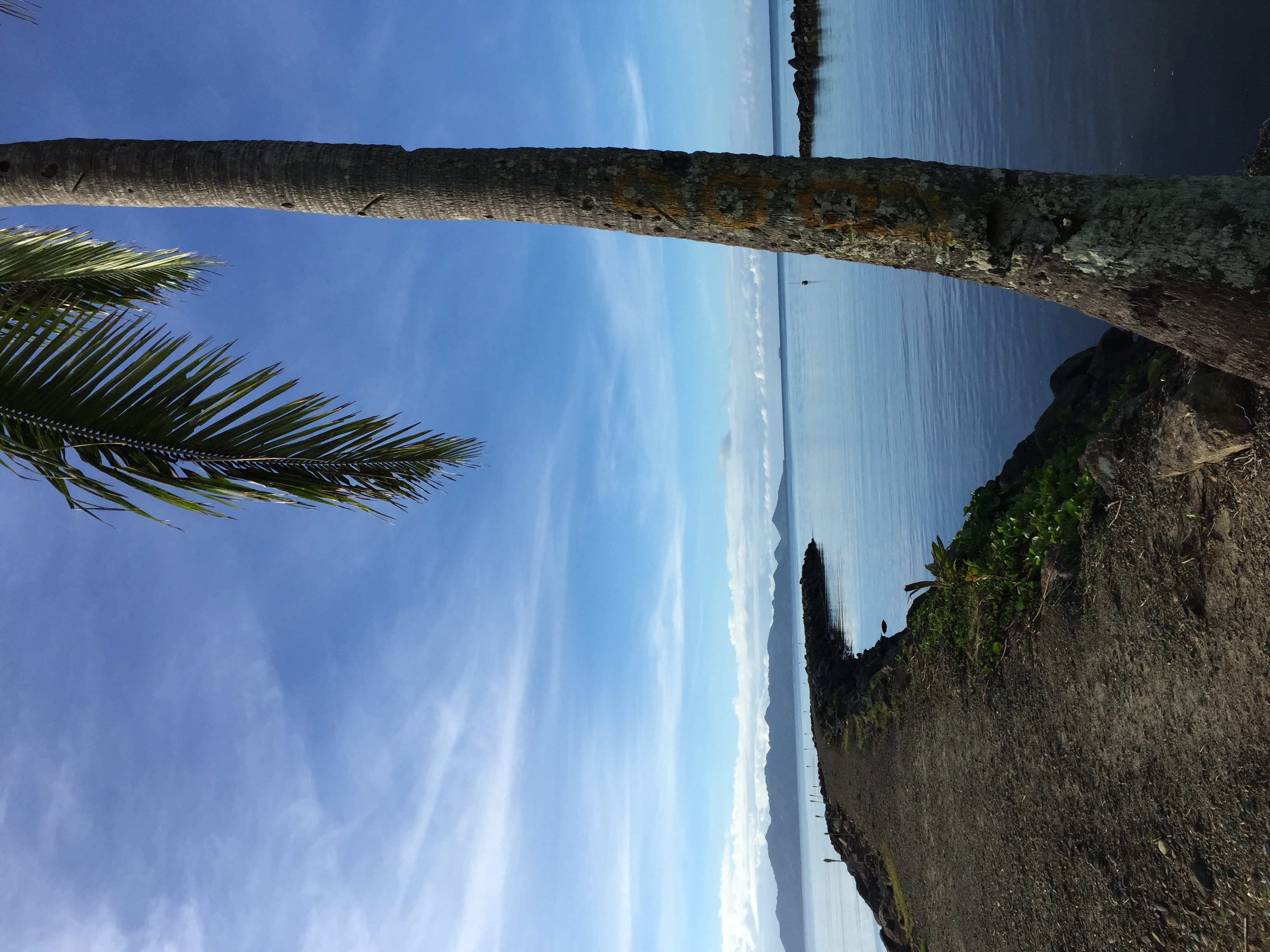
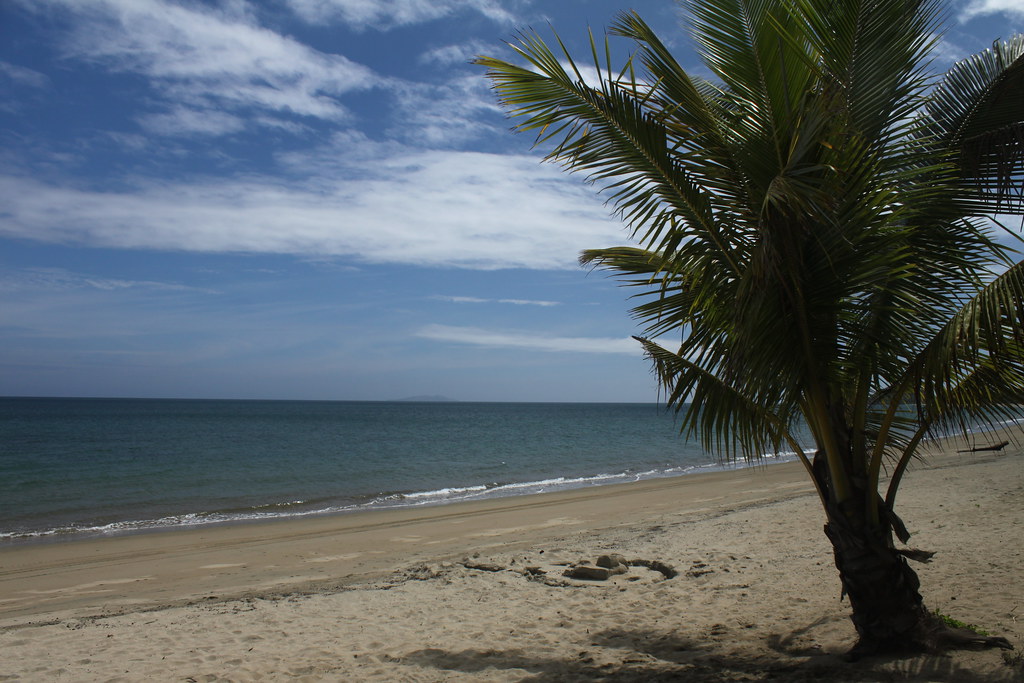
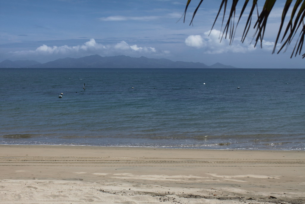
Related Photos:

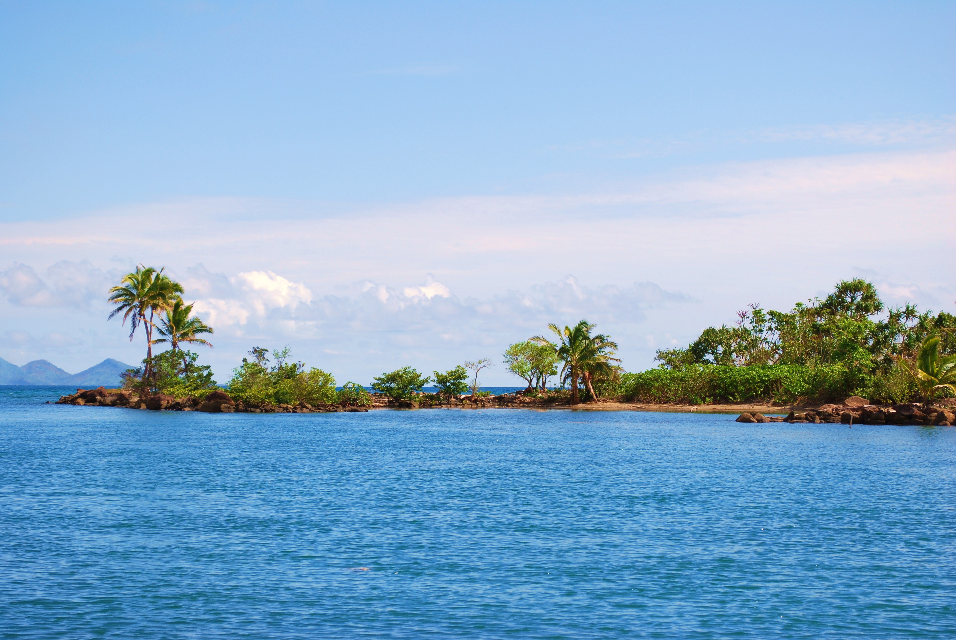
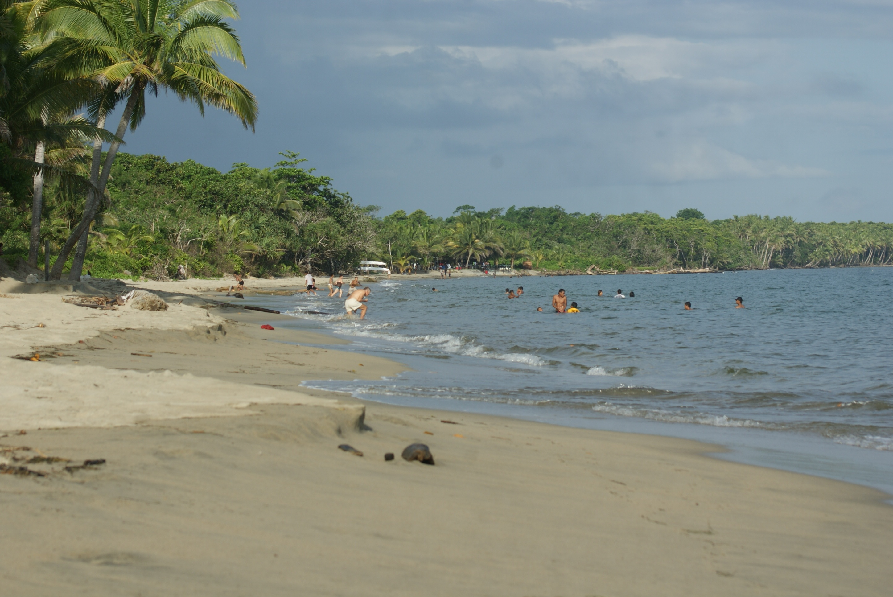
Nanuku Point - Fiji - higher quality version in description
Colors are the smiles of nature. (Leigh Hunt)
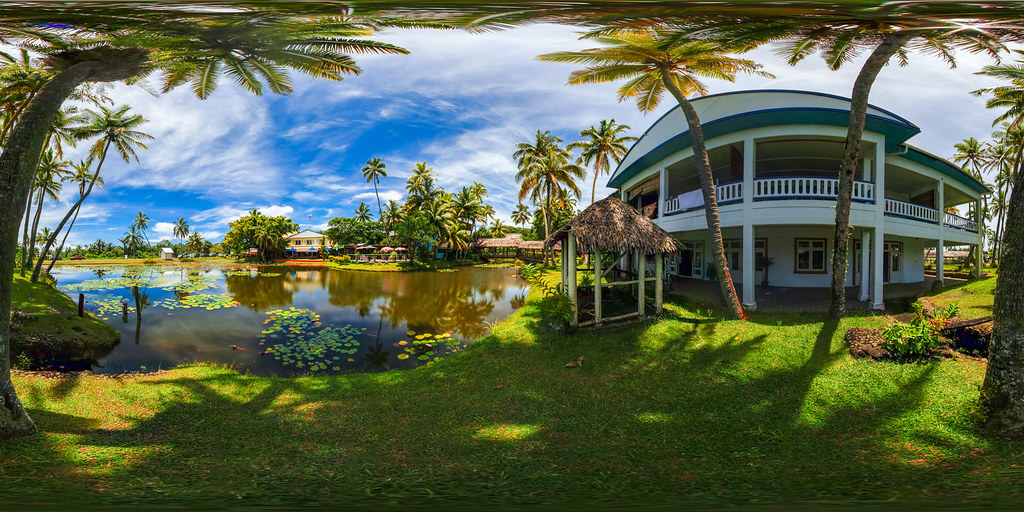
Arts Village and pond in Pacific Harbor, Fiji - the multimedia virtual tour in description
Beqa Lagoon, Fiji
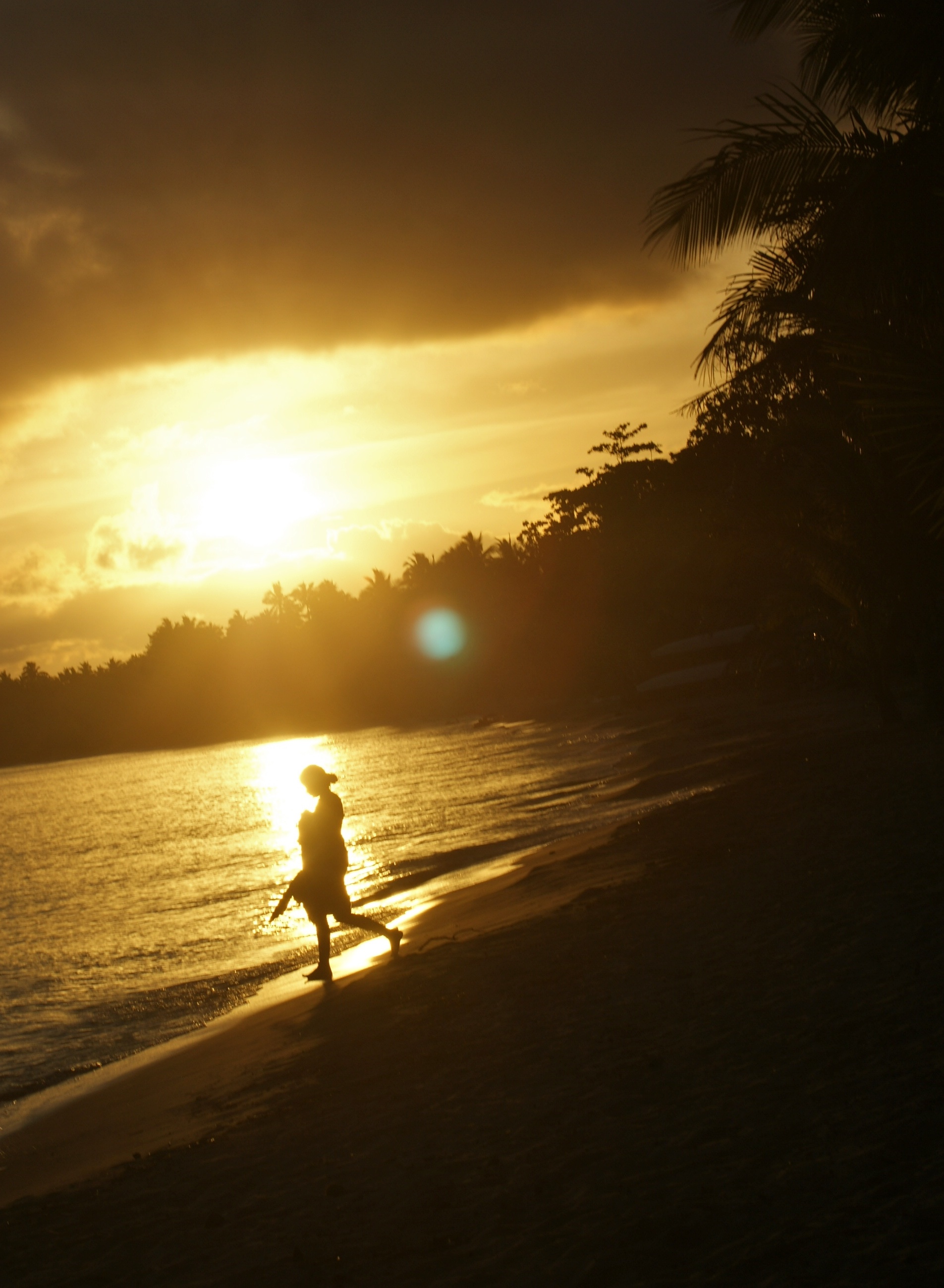
a sunset silhouette

Fiji - January 2009
Wonderful island of Fiji
Pacific Harbour, Fiji

a sunset silhouette
Pacific Harbour, Fiji
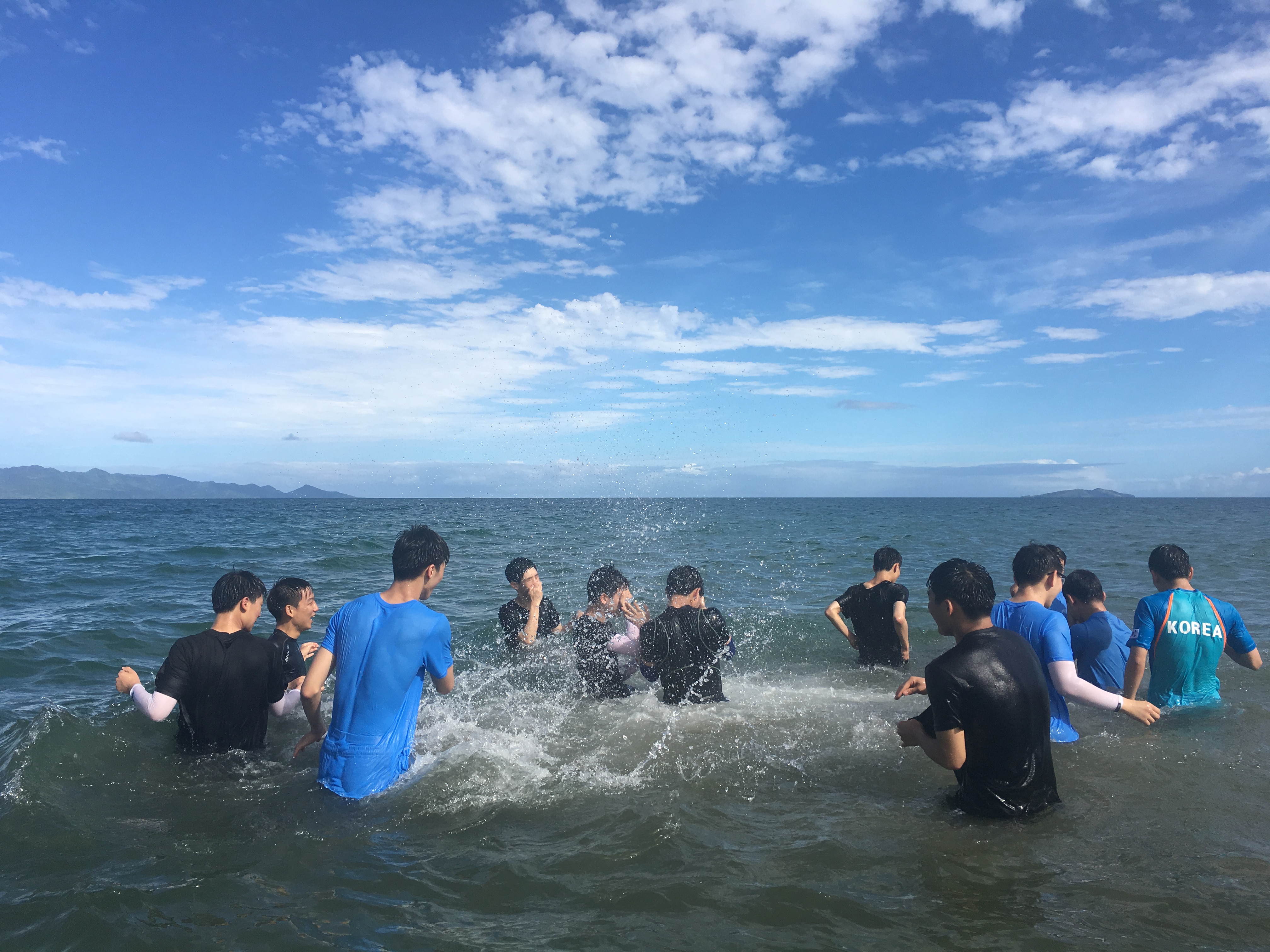
사진 2016. 6. 3. 오전 11 12 41
from The Pearl end
사진 2016. 6. 3. 오전 10 23 37
사진 2016. 6. 3. 오전 10 24 03
사진 2016. 6. 3. 오전 10 23 47

사진 2016. 6. 3. 오전 11 12 38
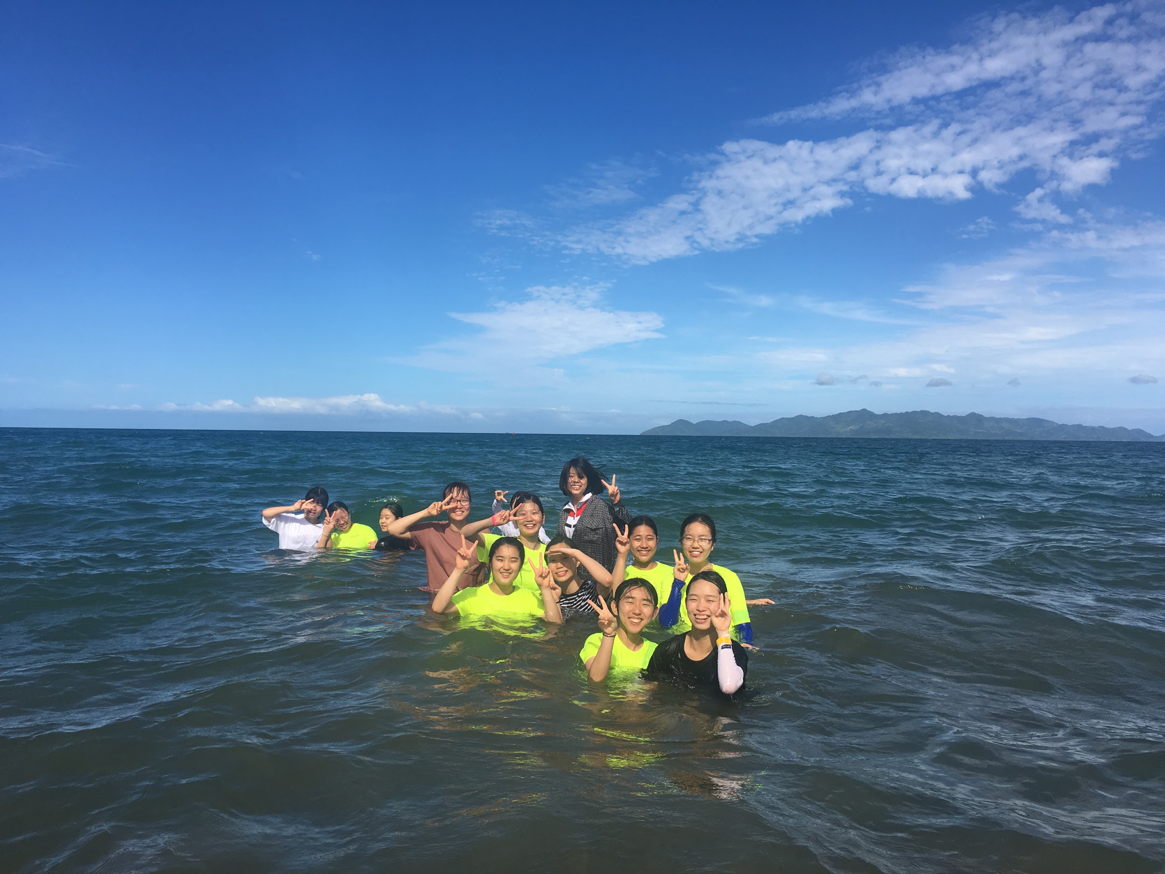
사진 2016. 6. 3. 오전 11 03 37
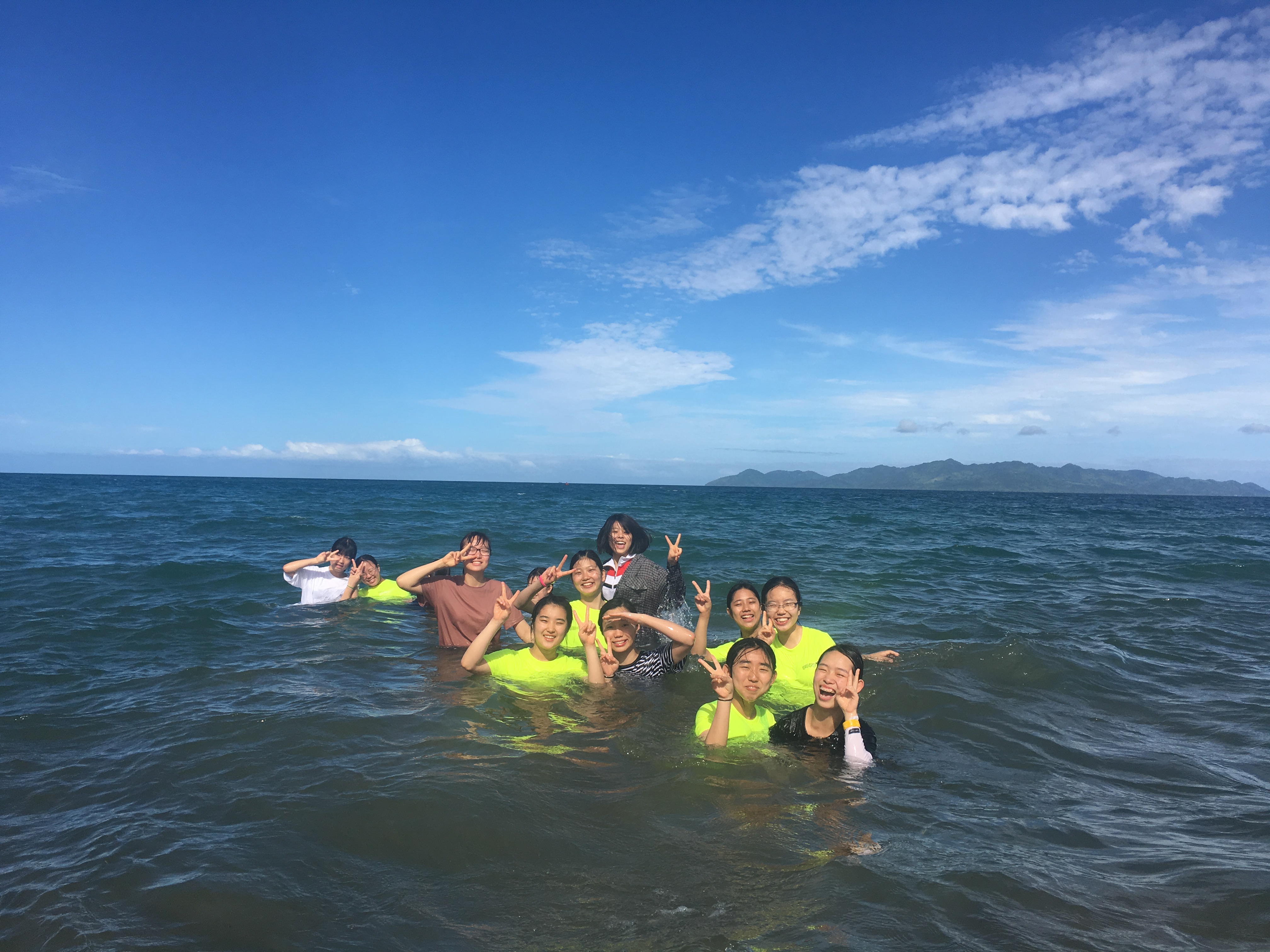
사진 2016. 6. 3. 오전 11 03 35

사진 2016. 6. 3. 오전 11 05 56

사진 2016. 6. 3. 오전 11 12 37

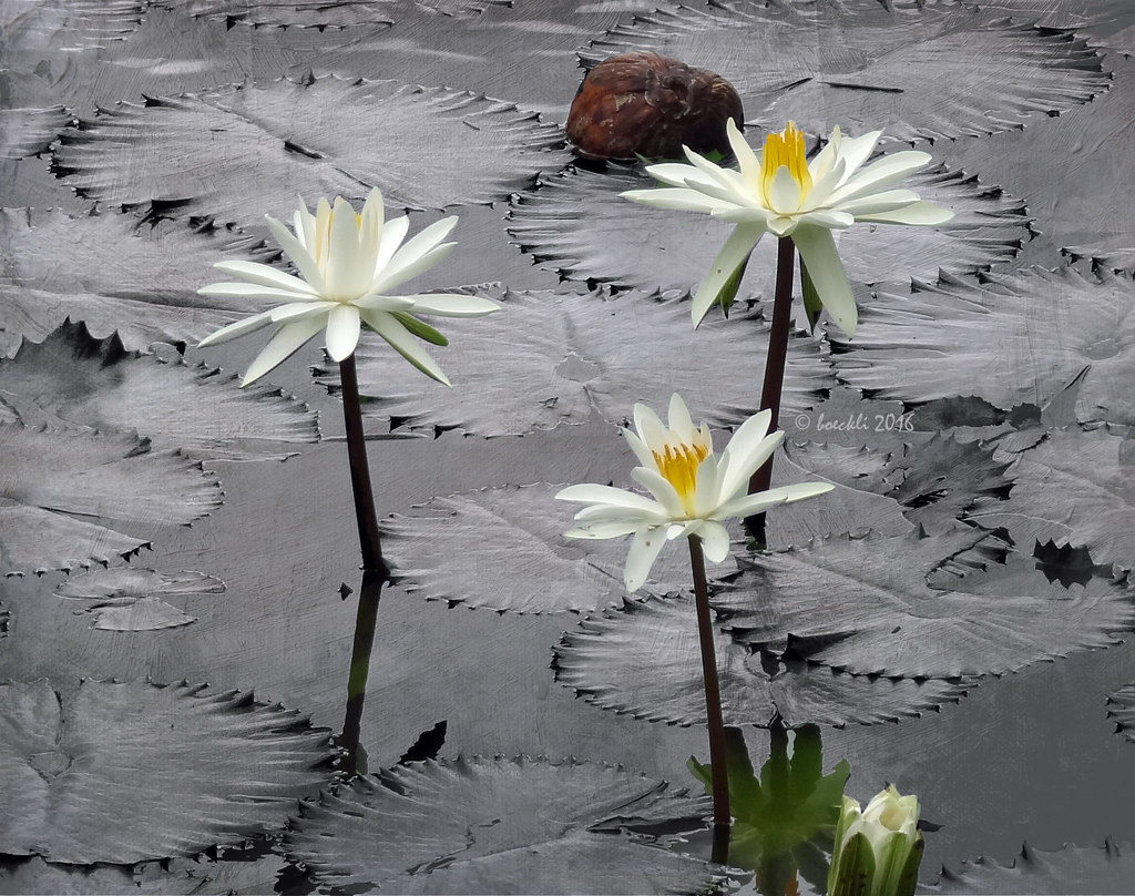
Coconut on the Tide Line
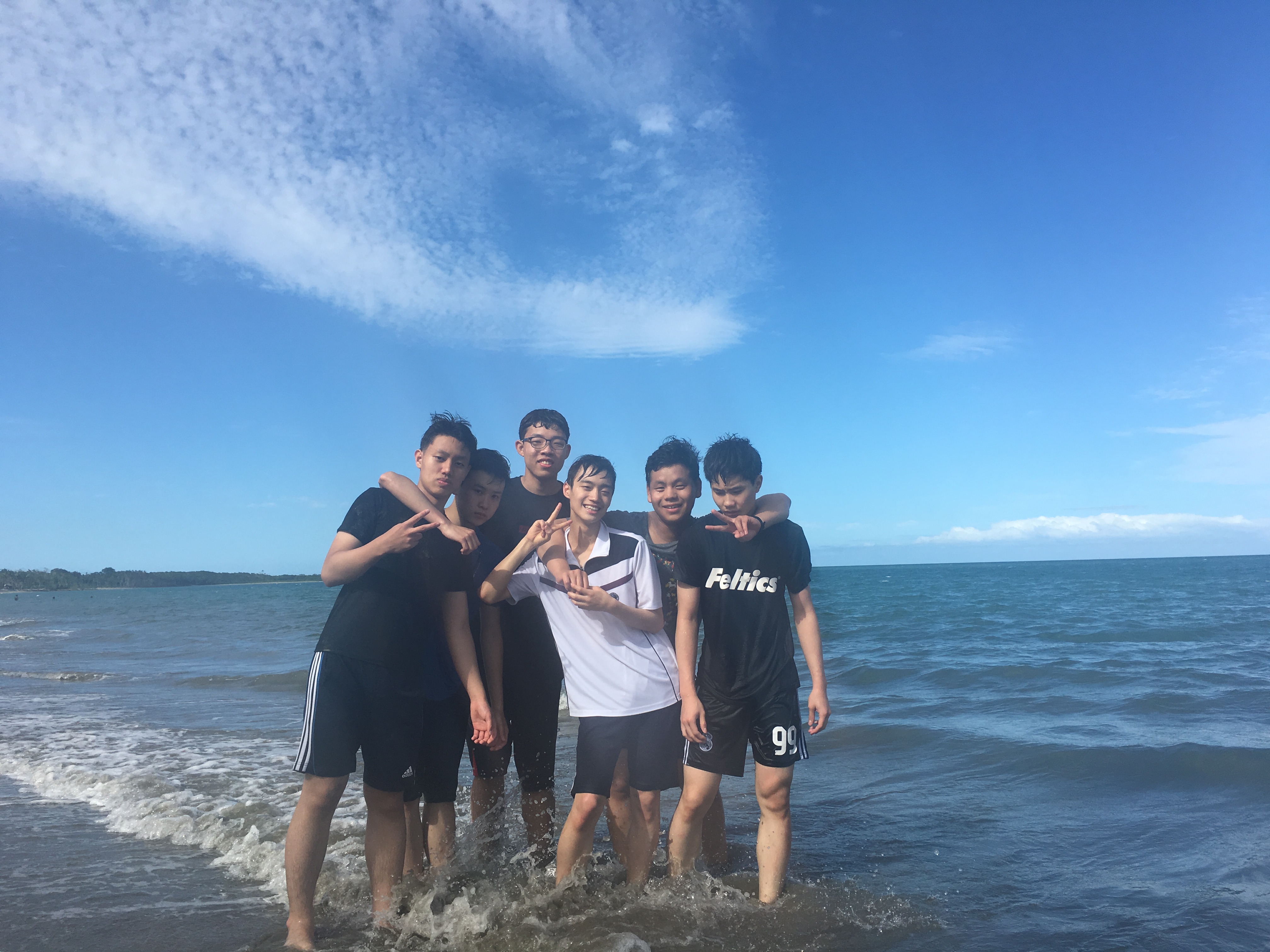
사진 2016. 6. 3. 오전 11 14 07
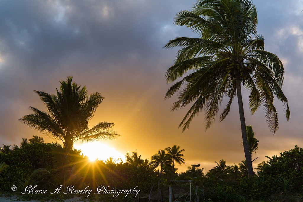
Day is Done
Topographic Map of Serua, Fiji
Find elevation by address:

Places in Serua, Fiji:
Places near Serua, Fiji:
Nuku
Unnamed Road
Pacific Heights Place Road
Navua
Fiji Islands
Nakoro
Central Division
Rewa
Macharthur Street
Gladstone Road
22 Denison Rd
Denison Road
Duncan Road
Bau Street
Suva
Fiji
Western Division
Ba
Ra
Natadola Bay Golf Course
Recent Searches:
- Elevation of Badaber, Peshawar, Khyber Pakhtunkhwa, Pakistan
- Elevation of SE Heron Loop, Lincoln City, OR, USA
- Elevation of Slanický ostrov, 01 Námestovo, Slovakia
- Elevation of Spaceport America, Co Rd A, Truth or Consequences, NM, USA
- Elevation of Warwick, RI, USA
- Elevation of Fern Rd, Whitmore, CA, USA
- Elevation of 62 Abbey St, Marshfield, MA, USA
- Elevation of Fernwood, Bradenton, FL, USA
- Elevation of Felindre, Swansea SA5 7LU, UK
- Elevation of Leyte Industrial Development Estate, Isabel, Leyte, Philippines