Elevation of Yaqara, Kings Rd, Rabulu, Fiji
Location: Fiji > Western Division > Ba >
Longitude: 177.941661
Latitude: -17.433080
Elevation: 9m / 30feet
Barometric Pressure: 101KPa
Elevation Map:
Satellite Map:
Related Photos:
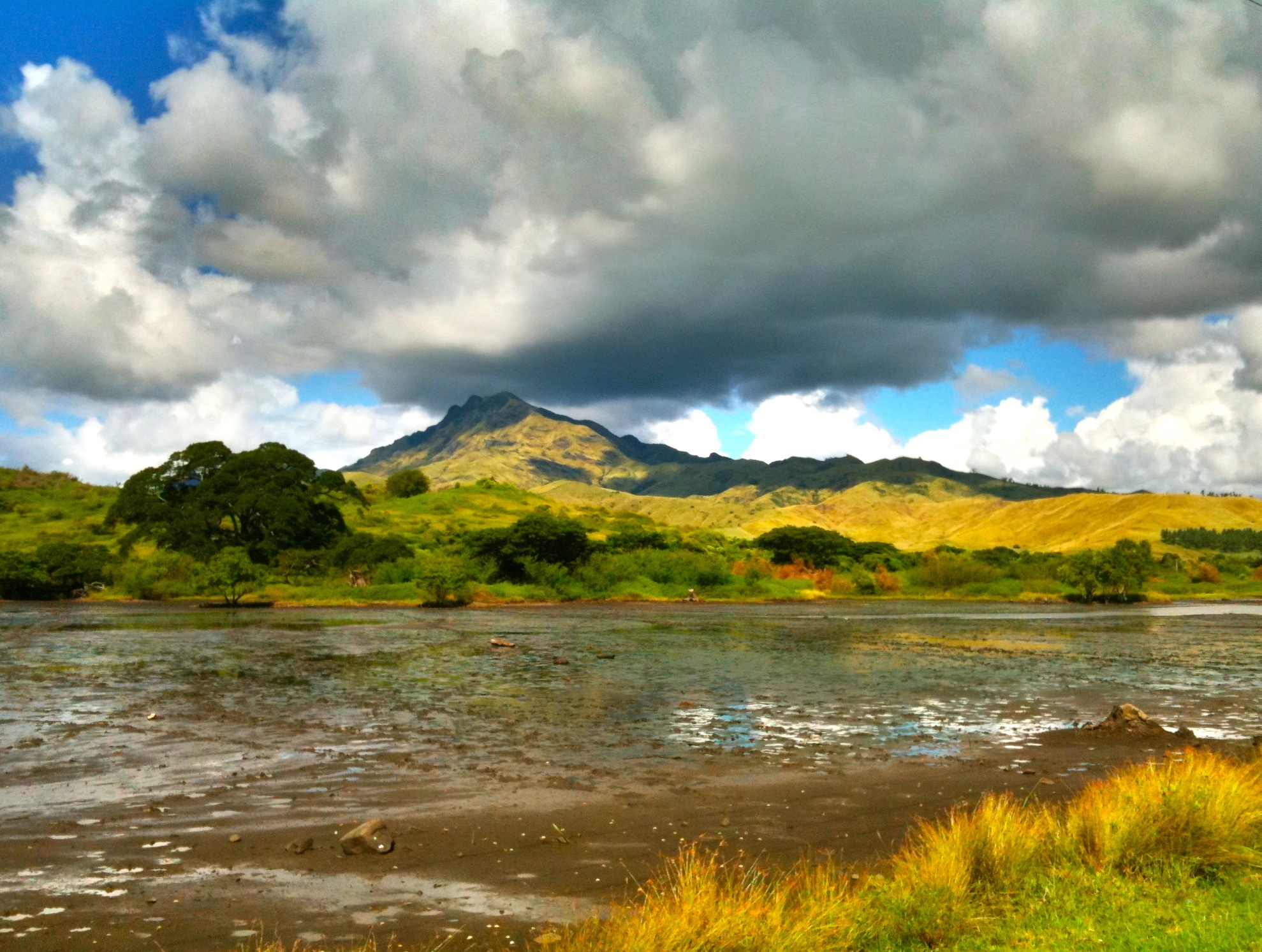
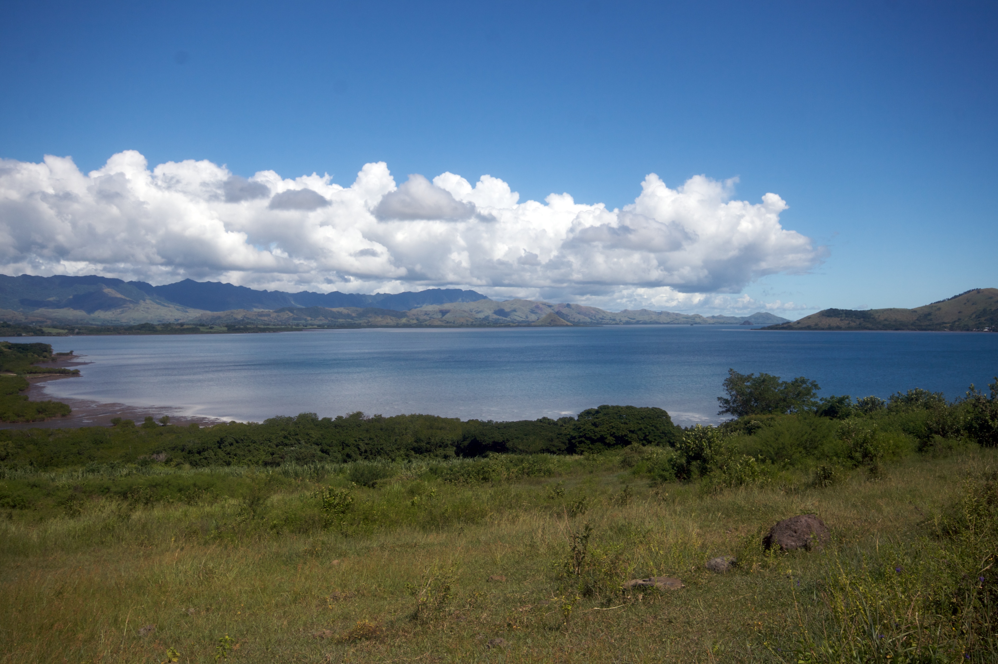
Beach view
volivolibay2Oct15-17
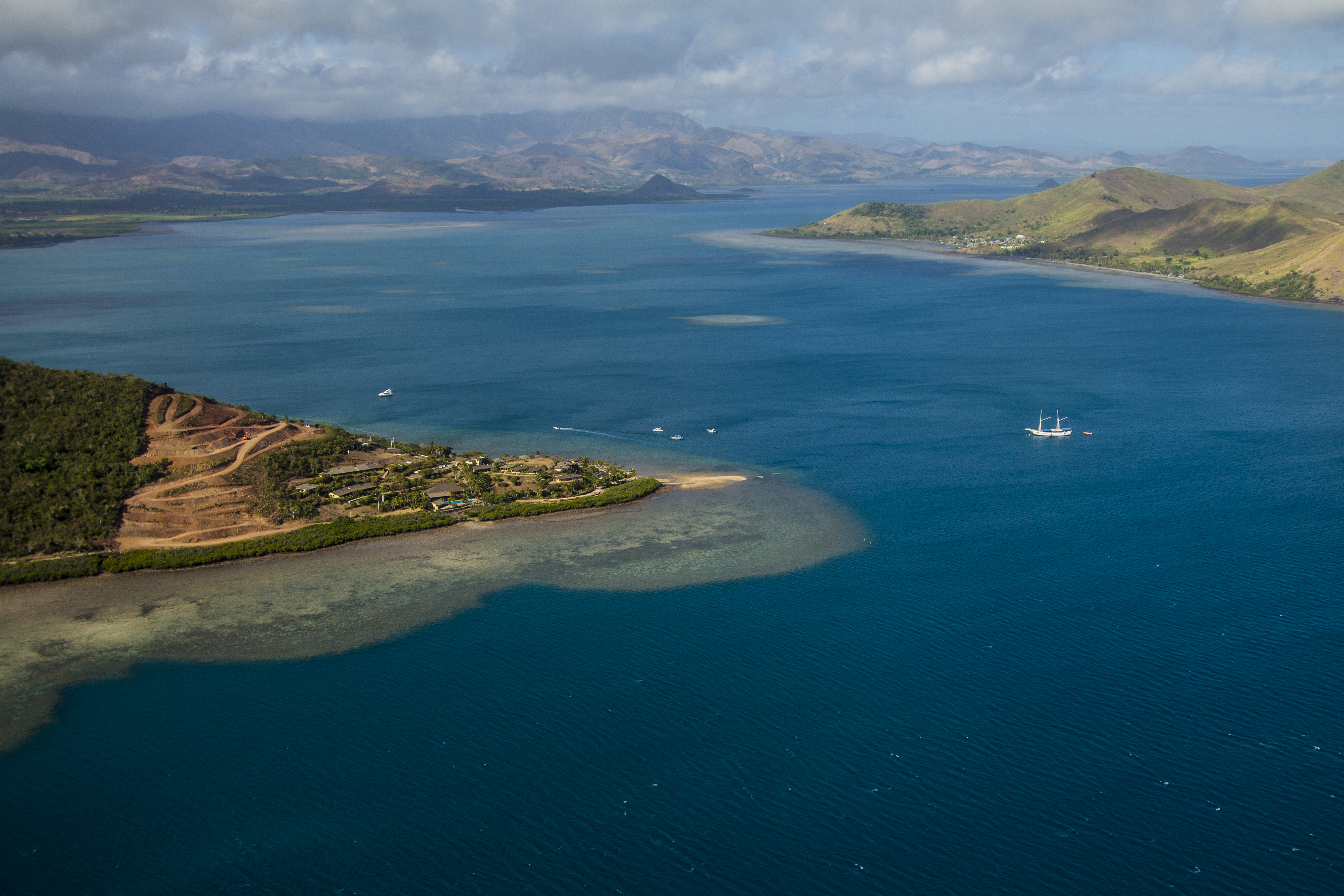
FijiFromAir3Oct15-17

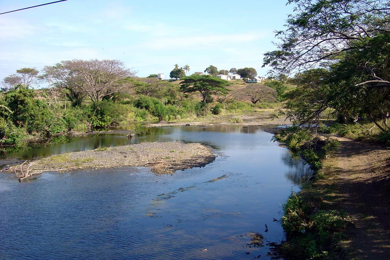
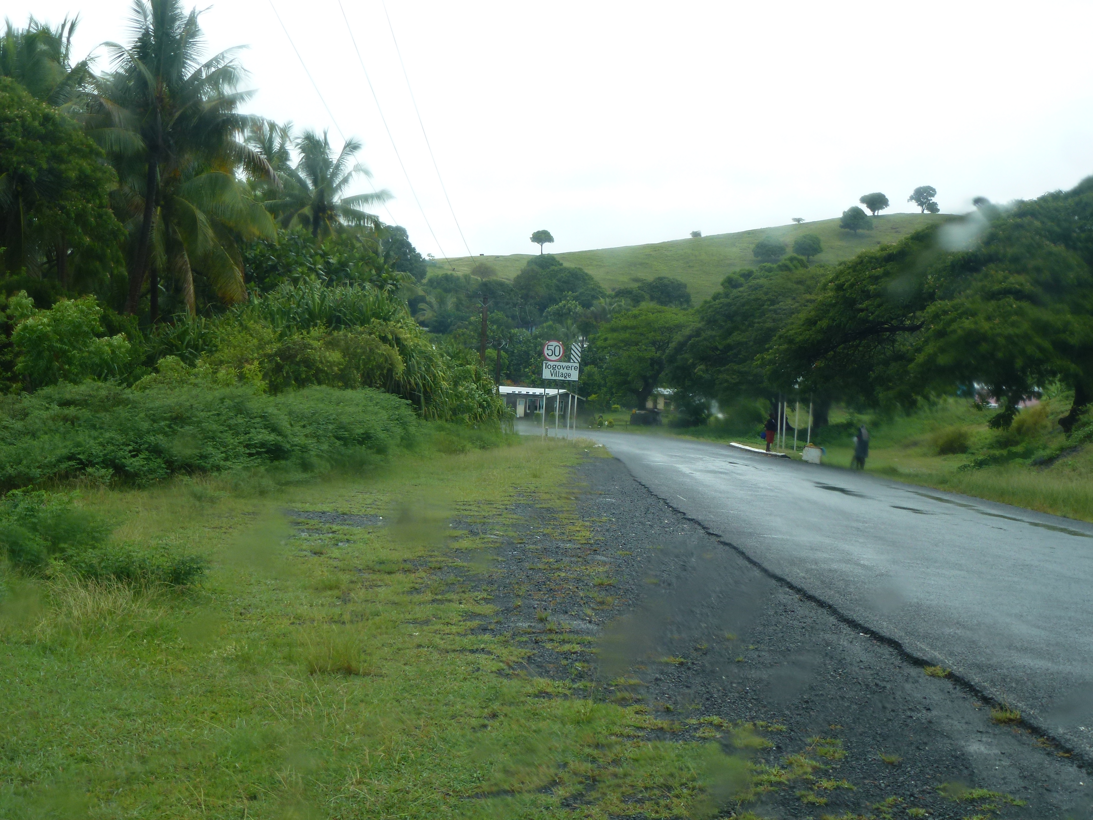
On the road
volivolibay1Oct15-17

On the road
Fiji travels 1
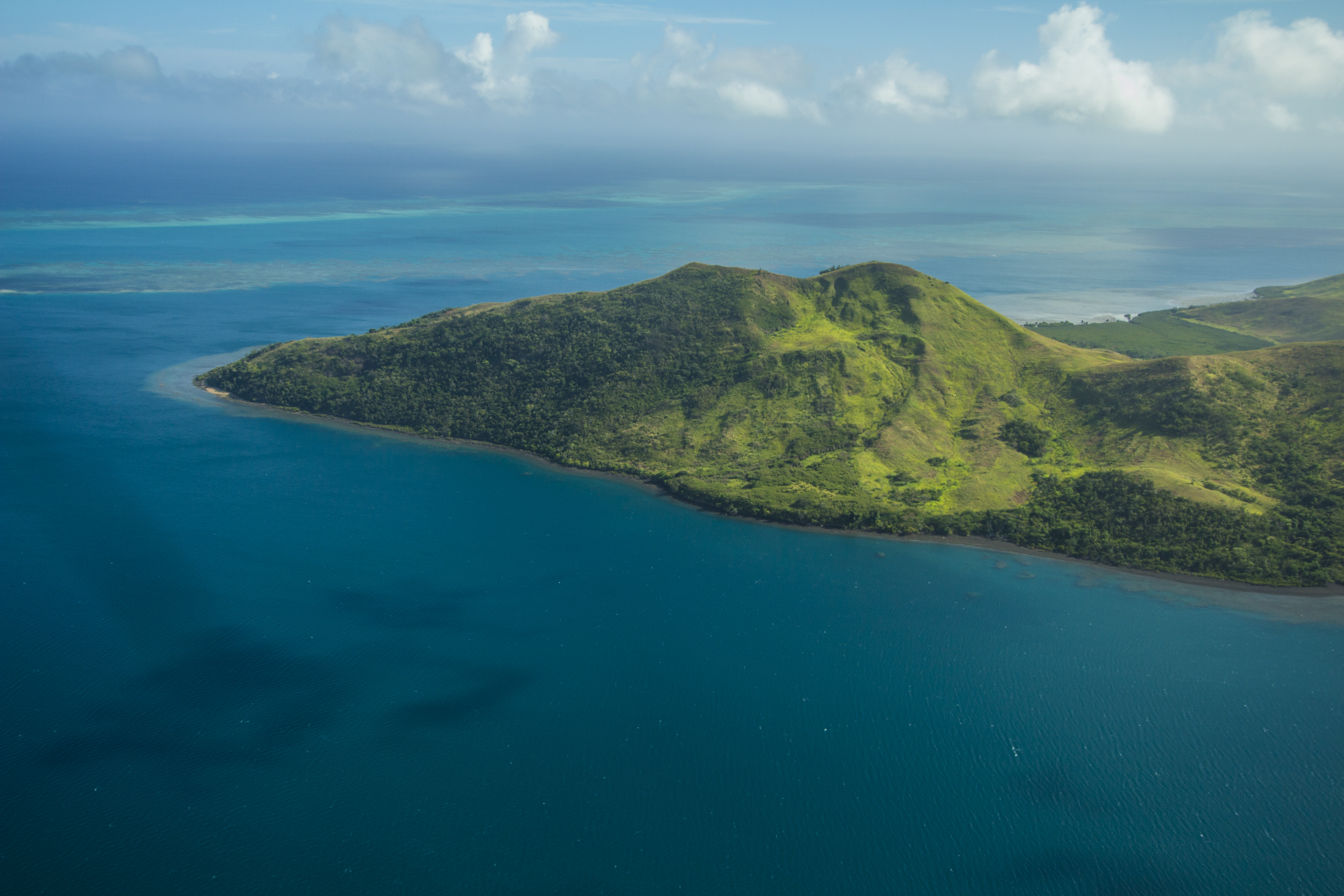
Fiji North

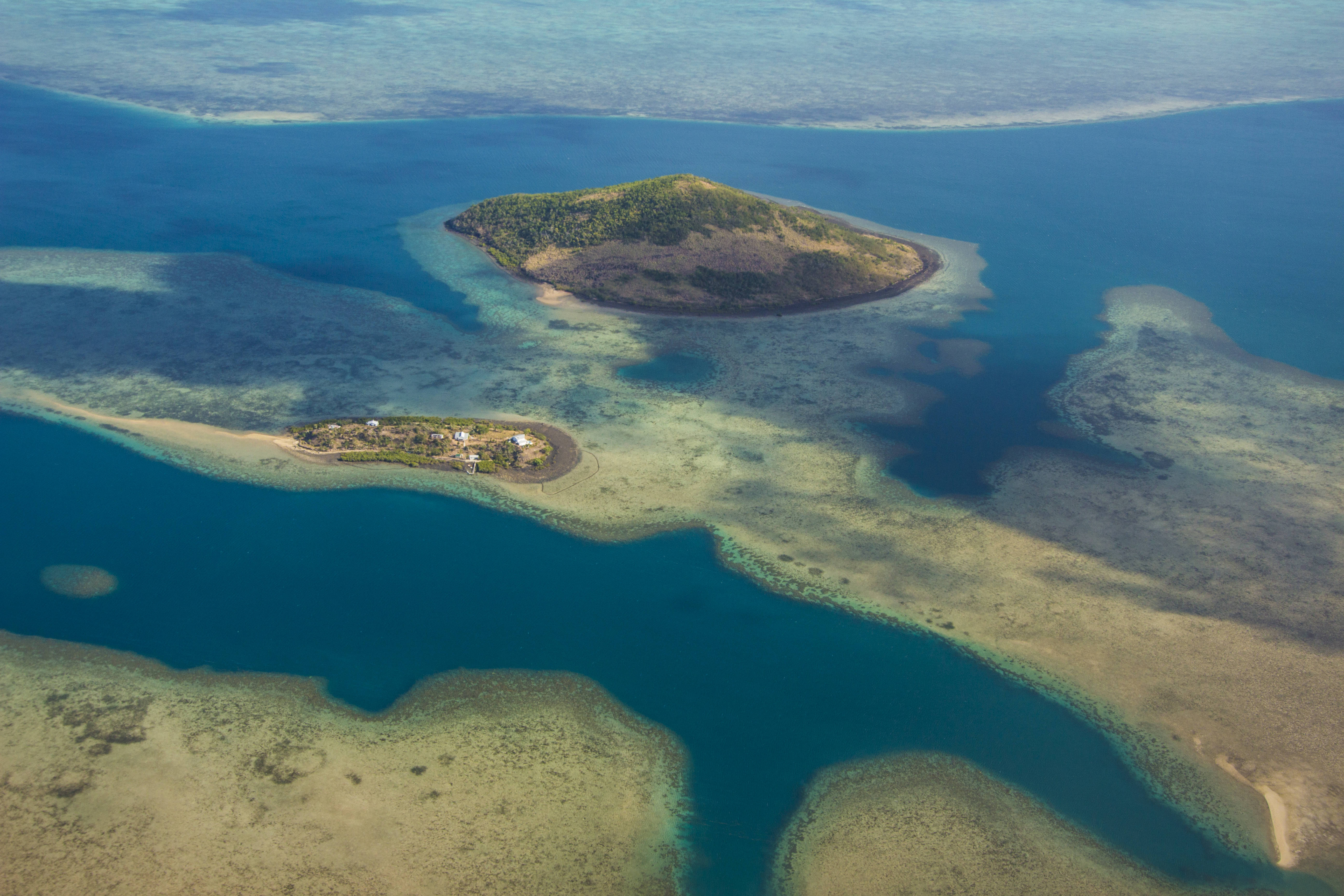
FijiFromAir2Oct15-17
On The Way To RakiRaki P1020586

Quiet beach
Topographic Map of Yaqara, Kings Rd, Rabulu, Fiji
Find elevation by address:

Places near Yaqara, Kings Rd, Rabulu, Fiji:
Rakiraki
Ba
Ra
Fiji
Nananu-i-cake
Western Division
Nakoro
Fiji Islands
Central Division
Nadi
Serua
Rewa
Nuku
Unnamed Road
Navua
Pacific Heights Place Road
Macharthur Street
Suva
Gladstone Road
Bau Street
Recent Searches:
- Elevation of Zimmer Trail, Pennsylvania, USA
- Elevation of 87 Kilmartin Ave, Bristol, CT, USA
- Elevation of Honghe National Nature Reserve, QP95+PJP, Tongjiang, Heilongjiang, Jiamusi, Heilongjiang, China
- Elevation of Hercules Dr, Colorado Springs, CO, USA
- Elevation of Szlak pieszy czarny, Poland
- Elevation of Griffing Blvd, Biscayne Park, FL, USA
- Elevation of Kreuzburger Weg 13, Düsseldorf, Germany
- Elevation of Gateway Blvd SE, Canton, OH, USA
- Elevation of East W.T. Harris Boulevard, E W.T. Harris Blvd, Charlotte, NC, USA
- Elevation of West Sugar Creek, Charlotte, NC, USA