Elevation of N Montpelier Rd, Denair, CA, USA
Location: United States > California > Stanislaus County > Denair >
Longitude: -120.70558
Latitude: 37.544685
Elevation: 67m / 220feet
Barometric Pressure: 101KPa
Elevation Map:
Satellite Map:
Related Photos:
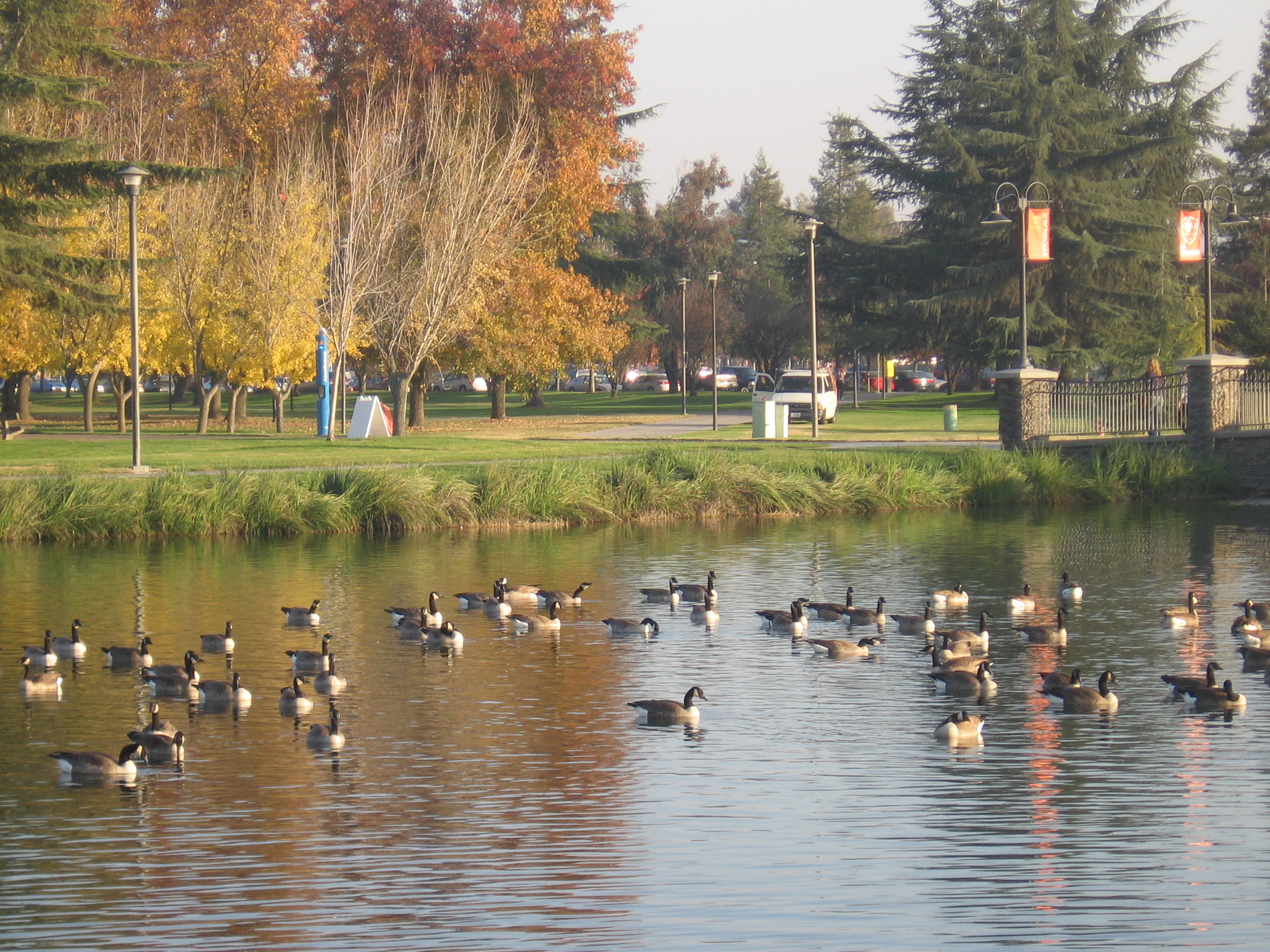
On The Outside Looking In

Turlock Fire Department - Engine 34
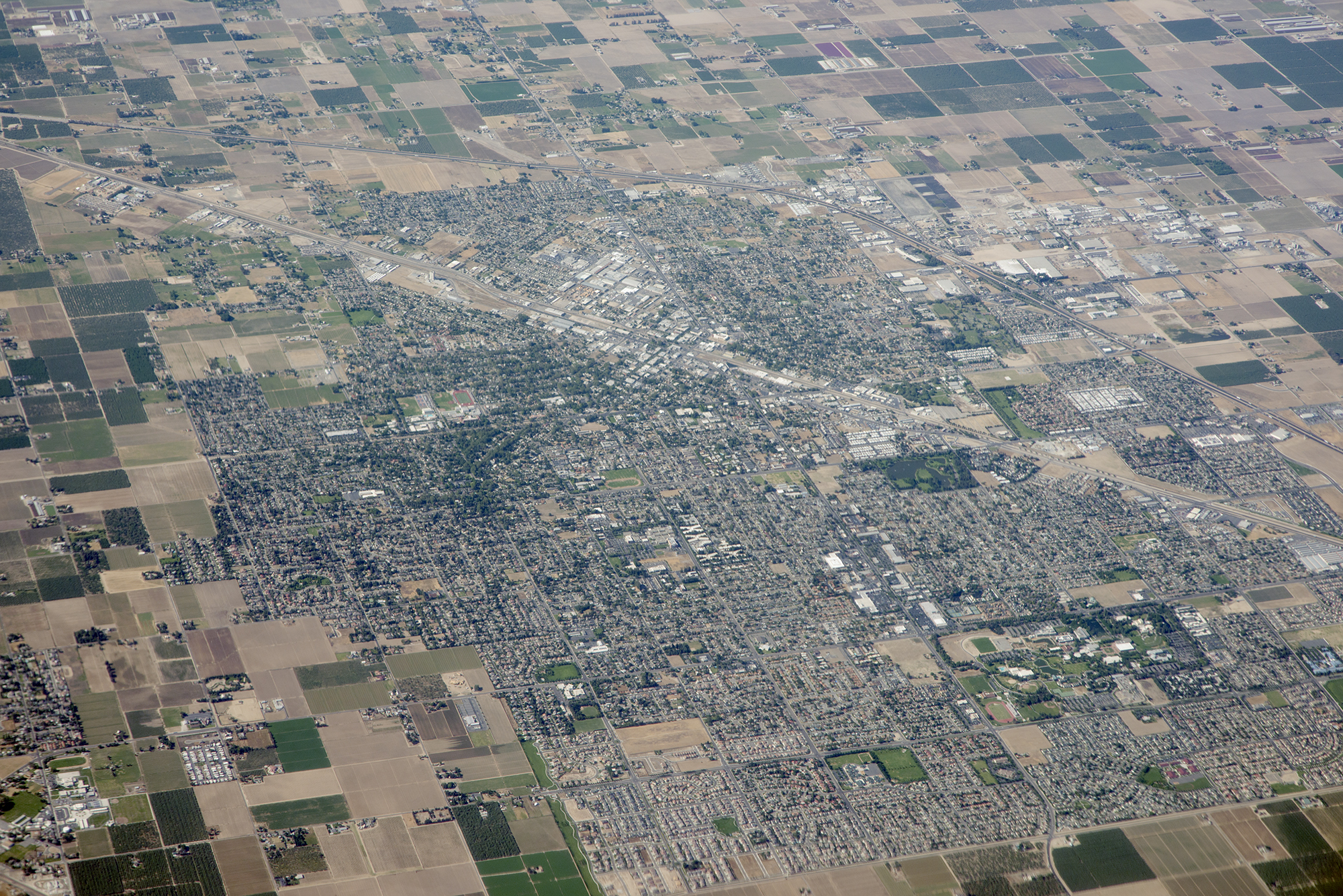
Above Turlock and Highway 99, Stanislaus County, California
A Return Trip

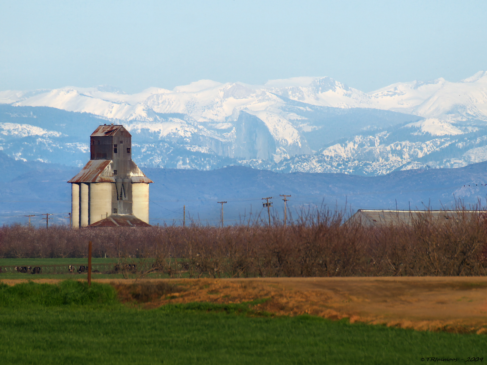
Distant View - Half Dome from 68.99 miles (Merriam and E Taylor roads)
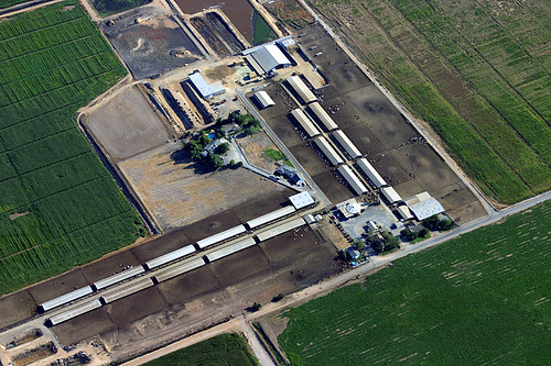
Aerial View of a Cattle Farm

Finishing out the day
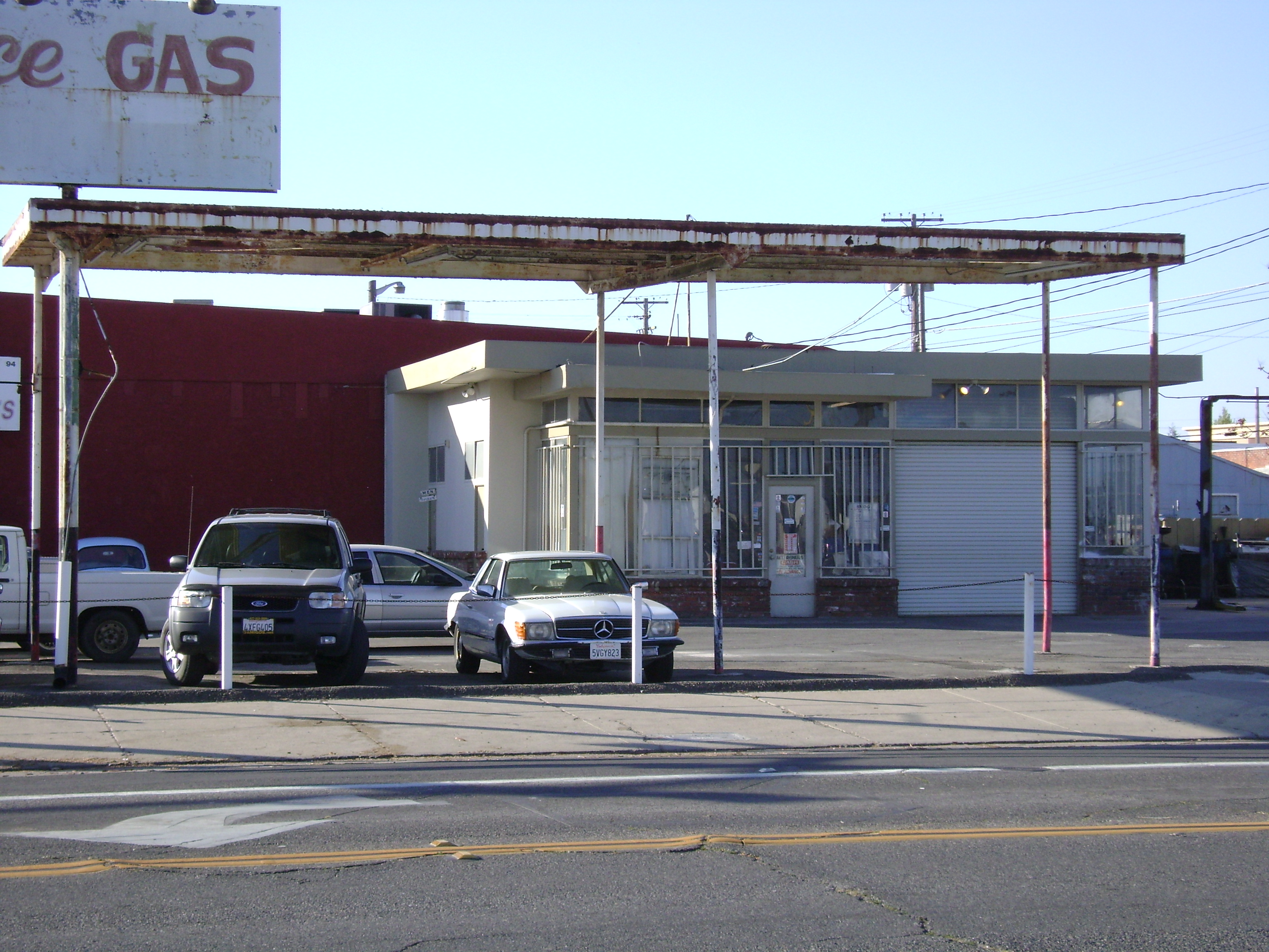
Town Service Gas
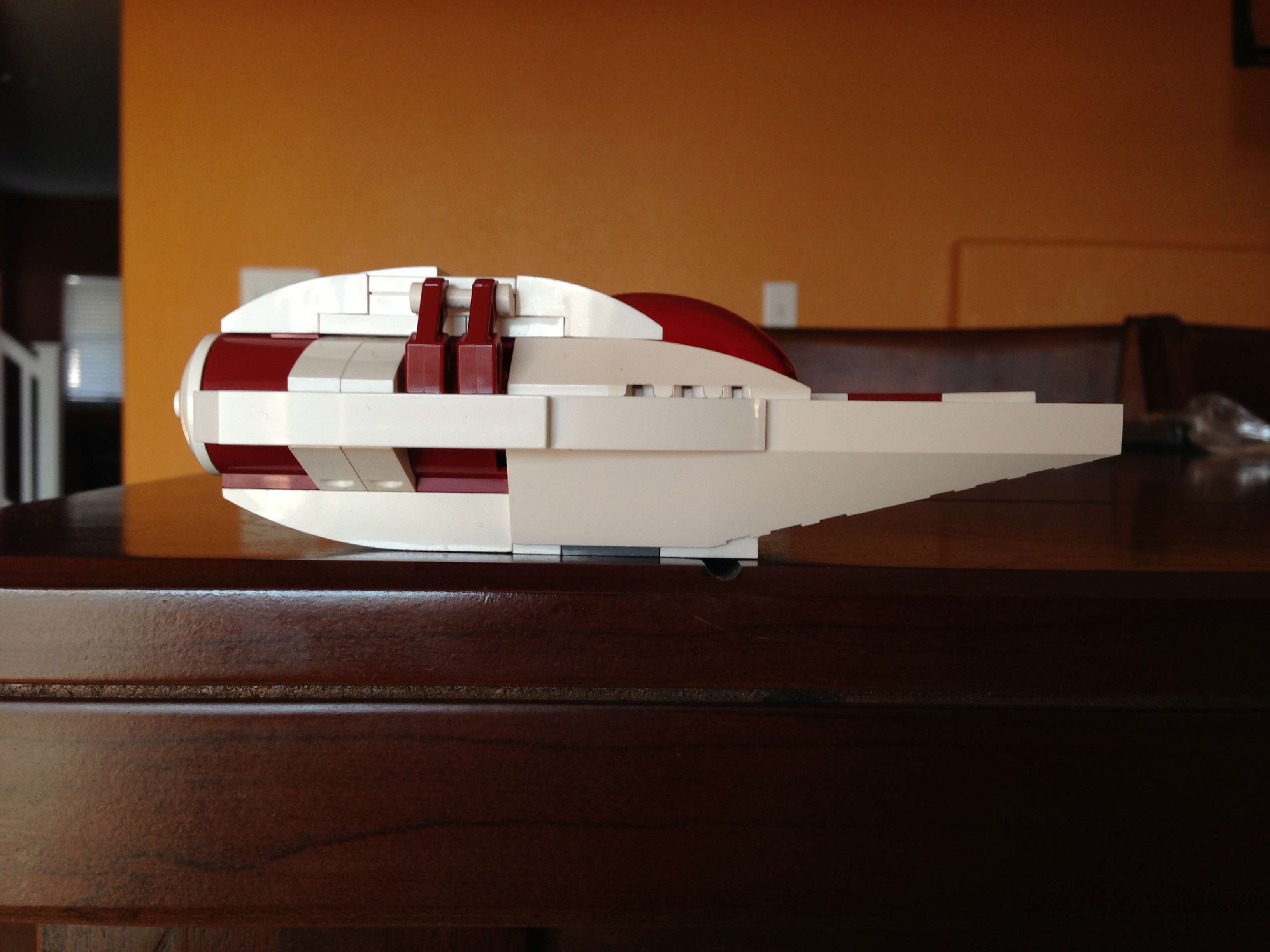
Side view

Tully Road Railroad Crossing View

All smiles

She's a Dancer
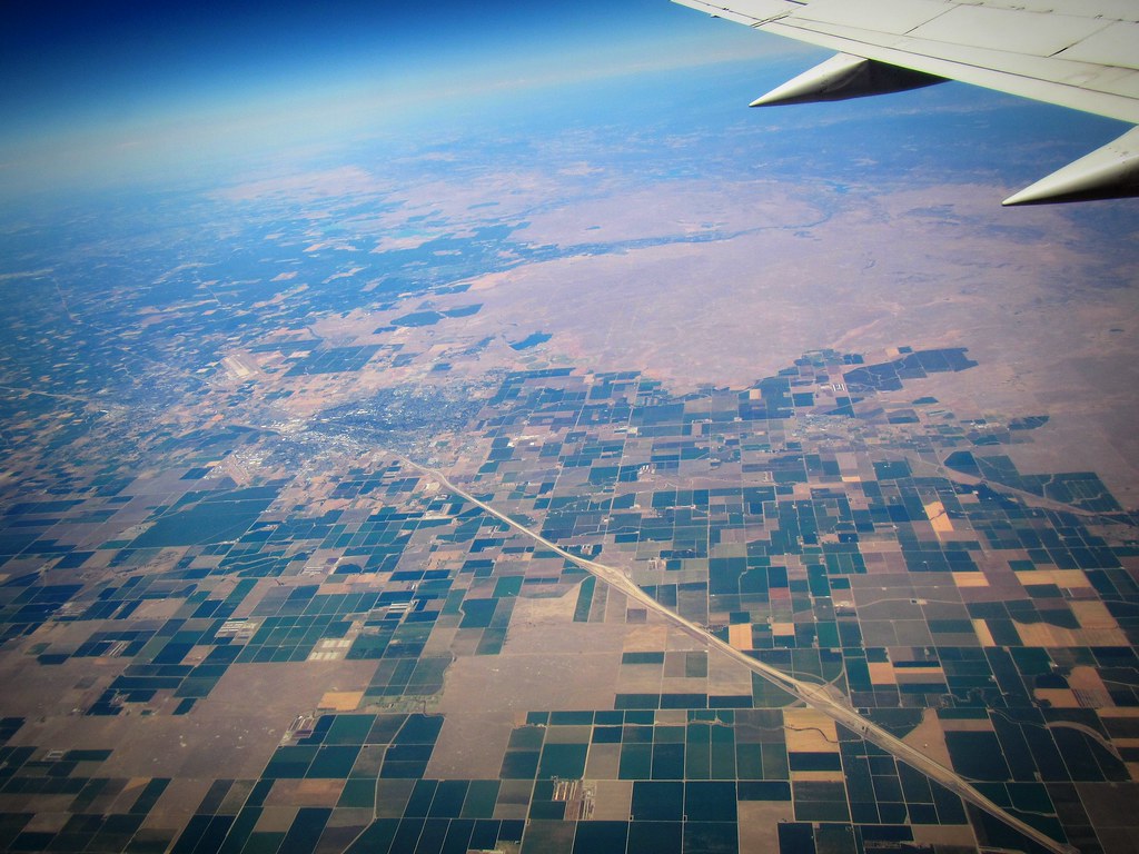
#SFO to #LAS on #SouthwestAirlines #WindowSeat

Birthday Girl

Summer is coming
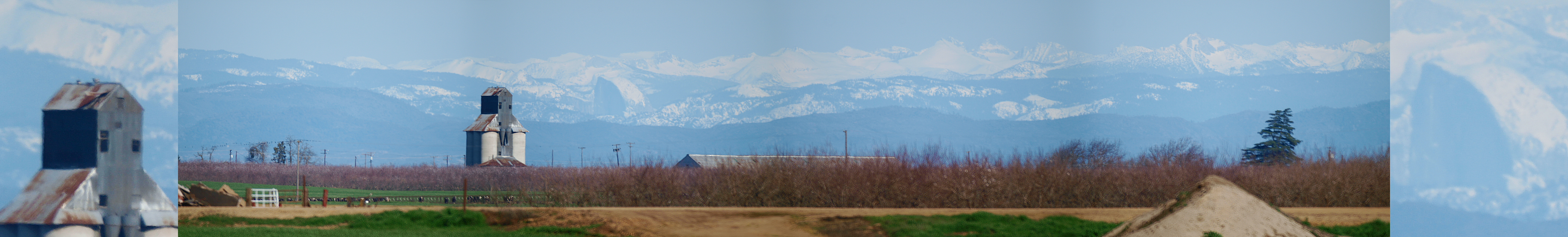
Yosemite NP and Half Dome from Denair, CA

Collier Road Railroad Crossing View

El Captain Way Railroad Crossing

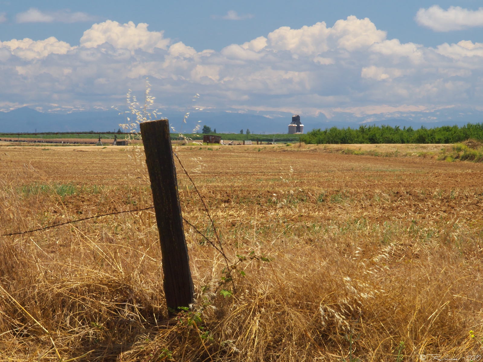
Interesting view.

This Will Outlive Us

Simple playing.
Camera Roll-1786

☀

Camera Roll-1784

A crack in the sky.
Camera Roll-1787
Camera Roll-1785
Heartland Patience

#Walk #tree #roots #russellreno #rollerderby

R1-05351-010A

#sunset #Tweakerville #turlock #rollerderby #russellreno #portrait #hdr

#sunrise over #Tweakerville #turlock #russellreno #rollerderby
Beauty in unexpected places
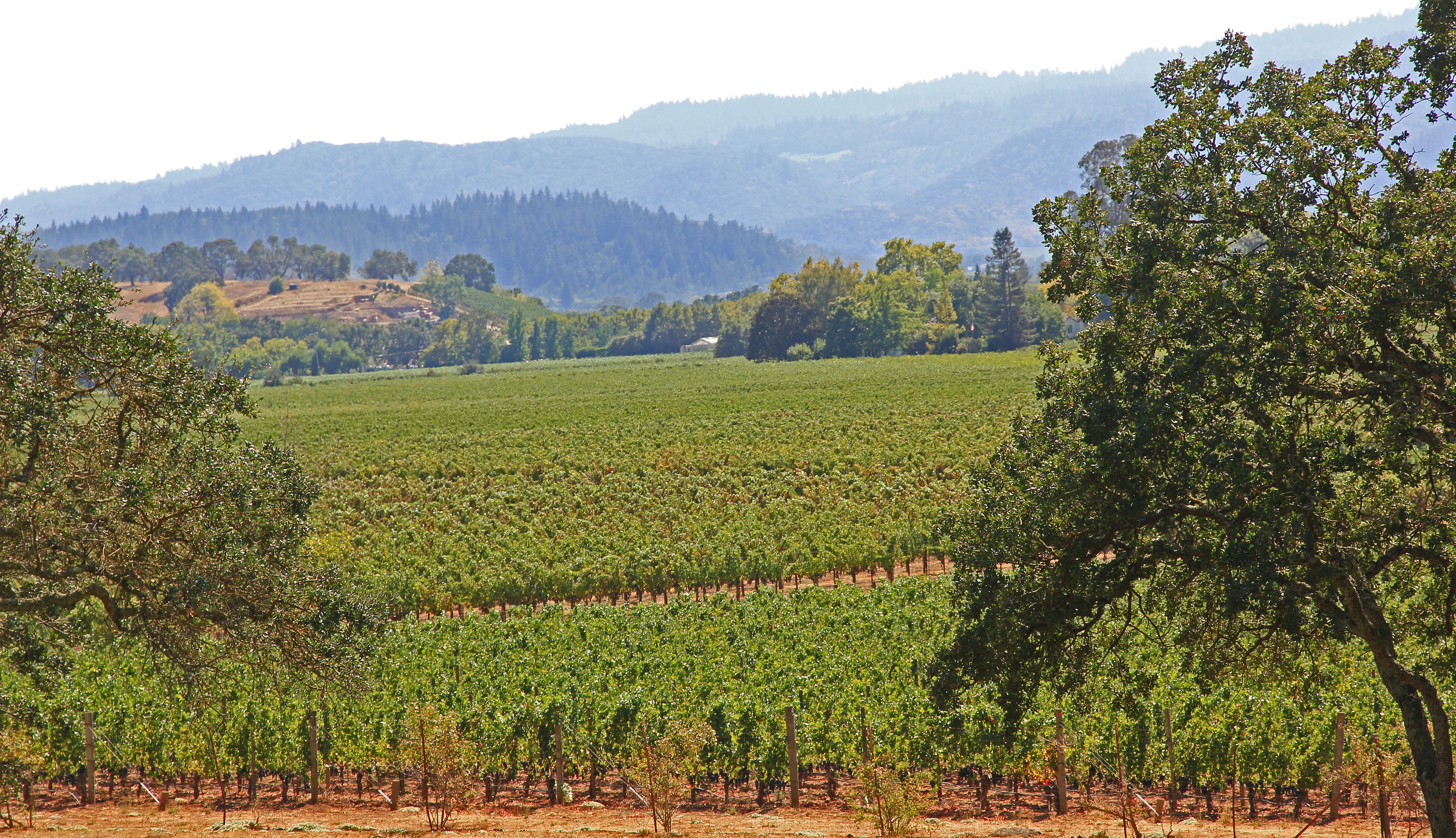
Vines Vines Every Where...

Turlock Sunset 2
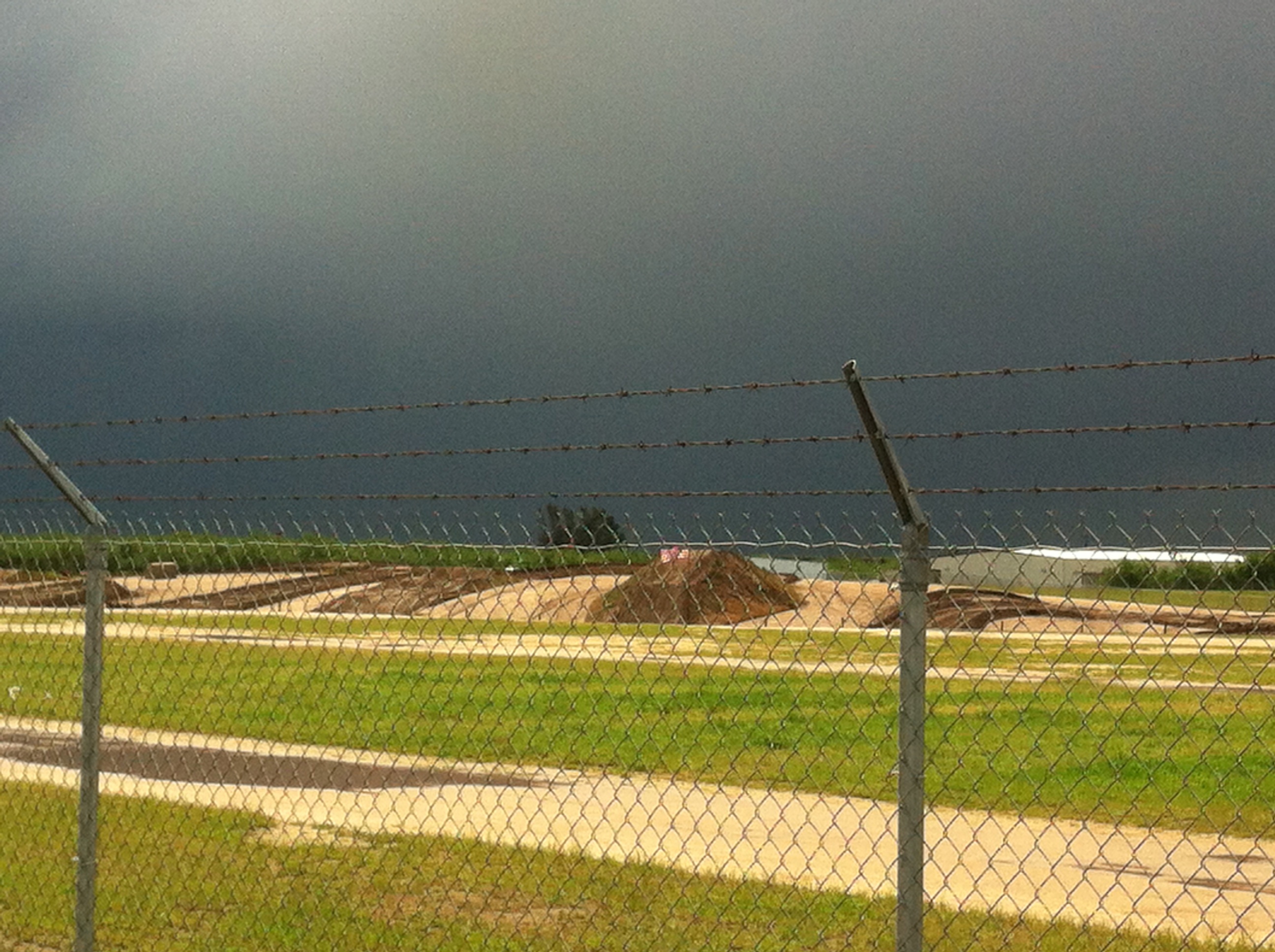
Moto Park

2012-09-02 14-29-10 N_05071

BNSF4604 Manifest westbound in the Tehachipi Loop.
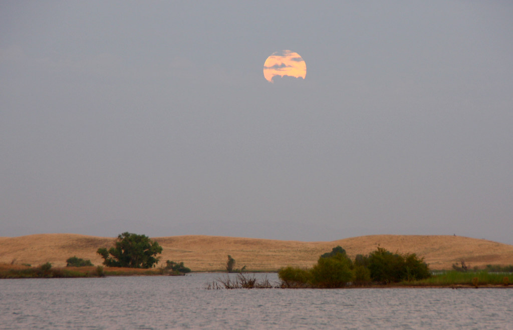
Full Moon Rising
Topographic Map of N Montpelier Rd, Denair, CA, USA
Find elevation by address:

Places near N Montpelier Rd, Denair, CA, USA:
Santa Fe Dr, Turlock, CA, USA
Main St, Denair, CA, USA
Ballico
Denair
9431 E Whitmore Ave
Golden State Highway
1532 Merritt St
931 E Linwood Ave
Turlock
2412 Dow St
4206 Piro Ct
1220 Geer Rd
1400 Trinity Way
Hughson Ave, Hughson, CA, USA
Hughson
4150 Ash Rd
8th St, Keyes, CA, USA
Keyes
S Faith Home Rd, Turlock, CA, USA
Recent Searches:
- Elevation of Kambingan Sa Pansol Atbp., Purok 7 Pansol, Candaba, Pampanga, Philippines
- Elevation of Pinewood Dr, New Bern, NC, USA
- Elevation of Mountain View, CA, USA
- Elevation of Foligno, Province of Perugia, Italy
- Elevation of Blauwestad, Netherlands
- Elevation of Bella Terra Blvd, Estero, FL, USA
- Elevation of Estates Loop, Priest River, ID, USA
- Elevation of Woodland Oak Pl, Thousand Oaks, CA, USA
- Elevation of Brownsdale Rd, Renfrew, PA, USA
- Elevation of Corcoran Ln, Suffolk, VA, USA