Elevation of Golden State Highway, Golden State Hwy, California, USA

Location: United States > California > Merced County > Delhi >

Longitude: -120.78952

Latitude: 37.4434261

Elevation: 37m / 121feet

Barometric Pressure: 101KPa

Elevation Map:

elevation map of Golden State Highway, Golden State Hwy, California, USA

Satellite Map:

Satellite map of Golden State Highway, Golden State Hwy, California, USA

Related Photos:

california blue winter sky snow tree sunshine rock wow landscape nationalpark landmark olympus potd explore yosemite dome half granite halfdome yosemitenationalpark e3 elcapitan sierranevada daytrip yosemitevalley centralvalley cloudsrest denair californialandscape sentinaldome mariposacounty stanislauscounty 50000views granitedome telephotolandscape sigma135400mmf4556 olympuse3
On The Outside Looking In
yosemite halfdome 1000views
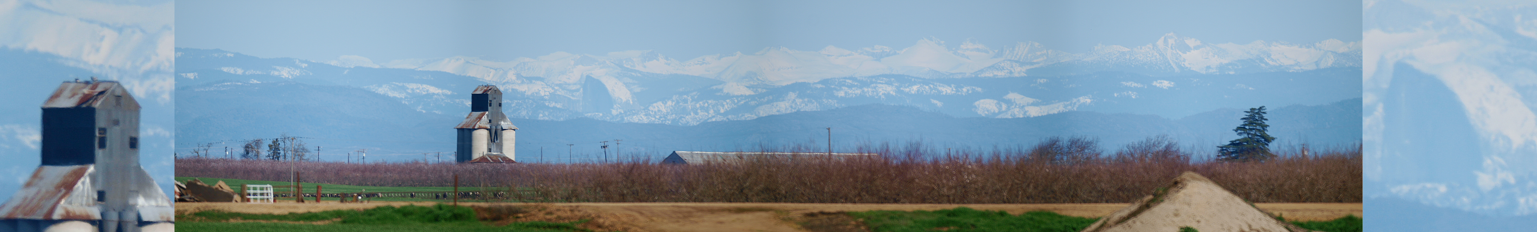
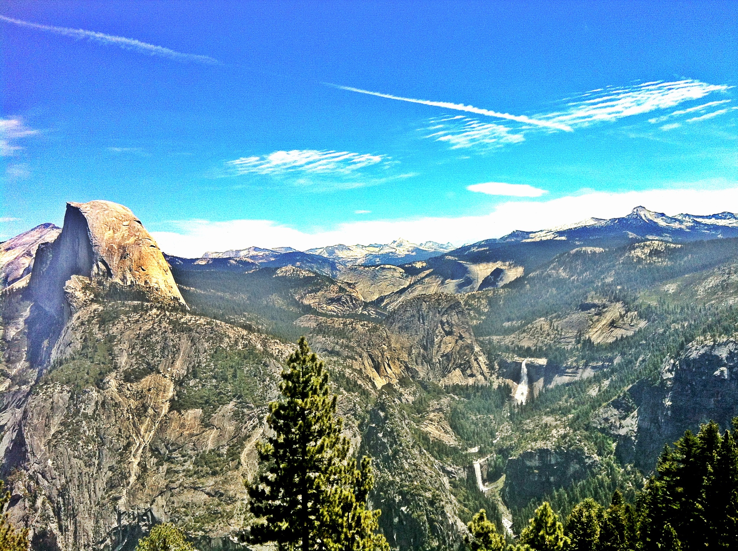
Yosemite NP and Half Dome from Denair, CA
california turlock sanjoaquinvalley highway99 aerialphotograph stanislauscounty
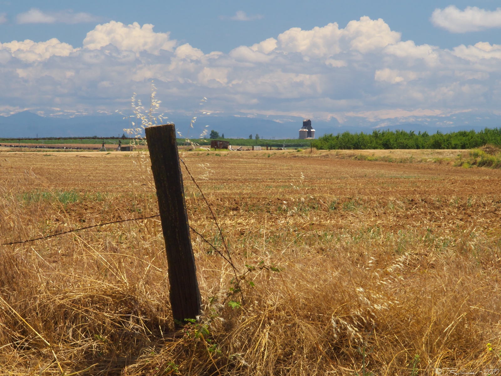
Above Turlock and Highway 99, Stanislaus County, California
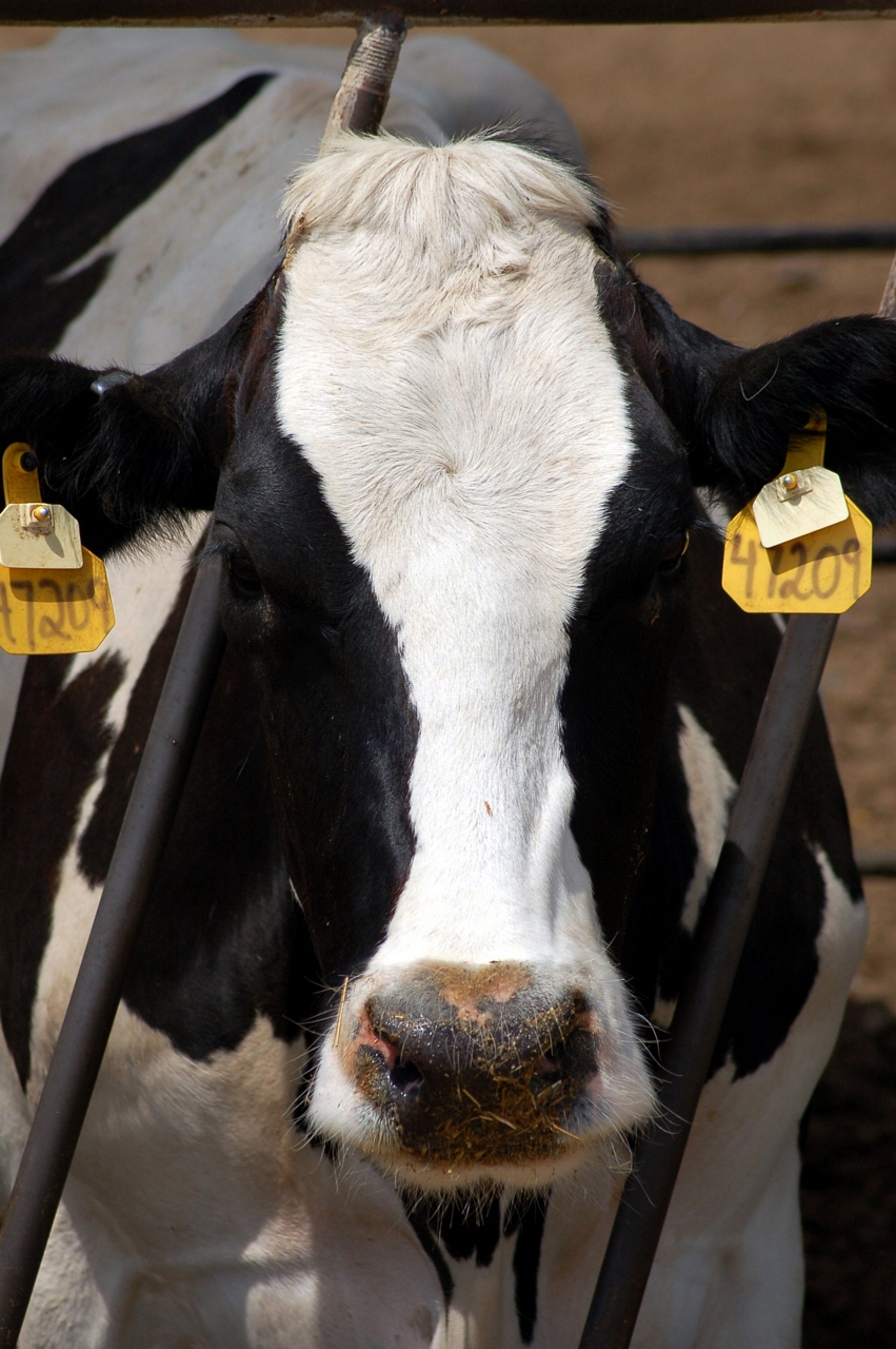
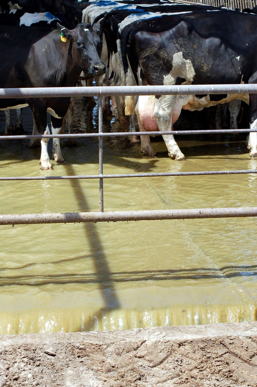
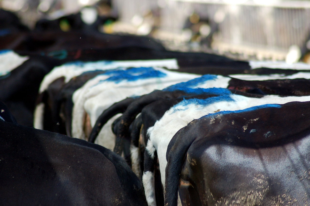
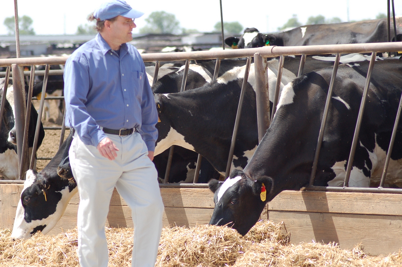
california food geotagged tv cows science kqed dairy quest pbs globalwarming methane renewableenergy alternativefuel biofuel digester kqedquest geo:lat=373076890000039 geo:lon=120778657999999
A Greener Cow
rescue 911 fireengine emergency firedept turlockca stanislauscounty modestoca countyfire pattersonca newmanca turlockfire turlockfiredepartment modestofire weststanislausfire westportfire mountinviewfire
Turlock Fire Department - Engine 34
california olympus yosemite halfdome e3 yosemiteblog denair californialandscape zd yosemiteblogcom 1260mm olympuse3
A Return Trip
halfdome yosemiteblog yosemiteblogcom
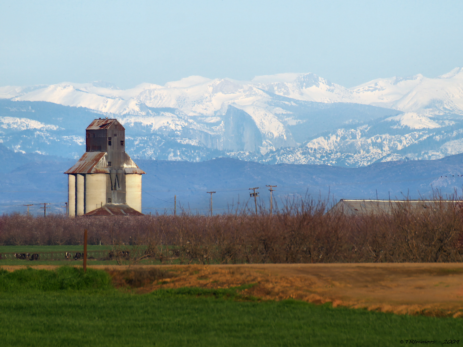
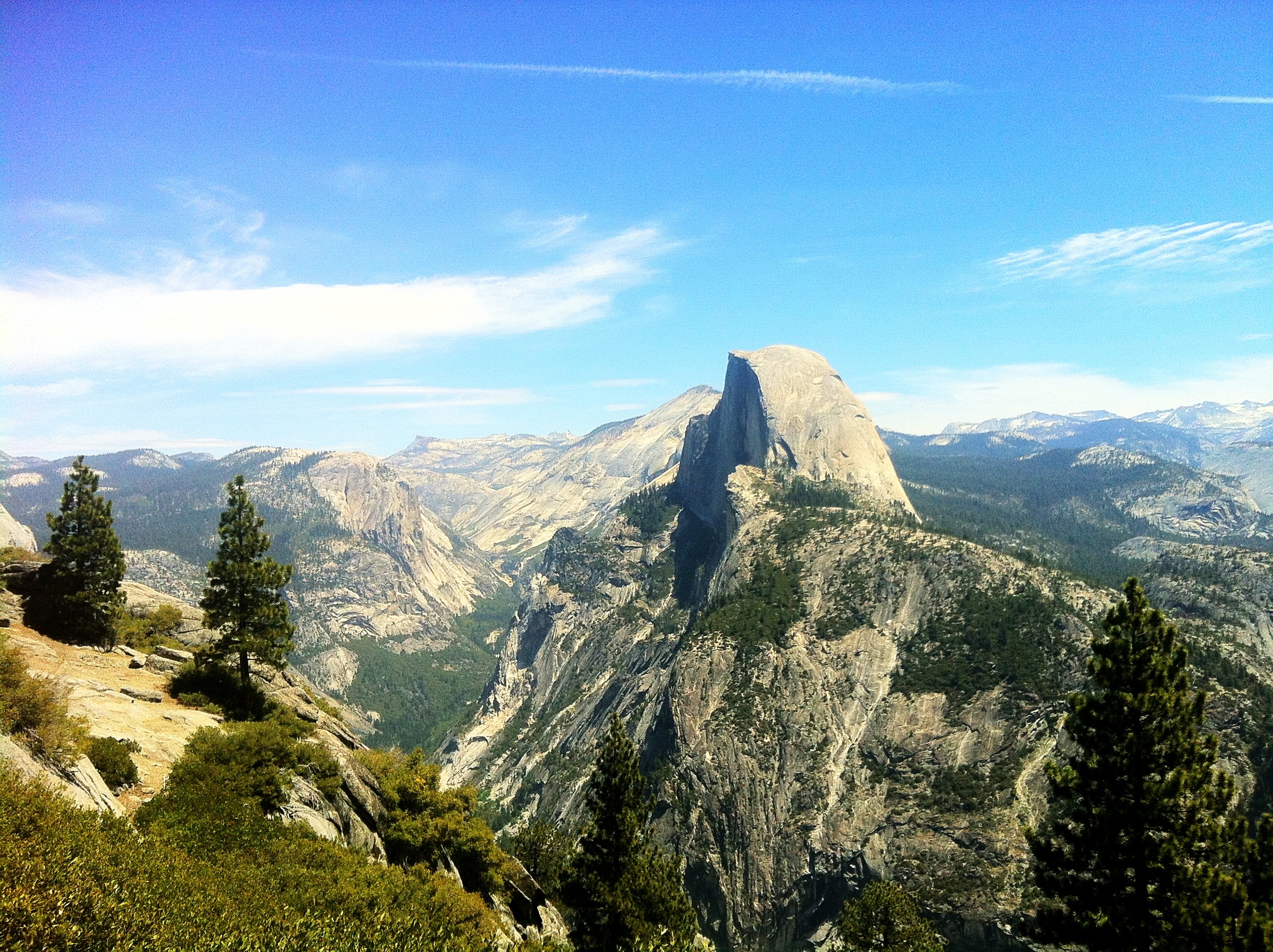
Distant View - Half Dome from 68.99 miles (Merriam and E Taylor roads)
Collier Road Railroad Crossing View
food usa america cow unitedstates cattle farm unitedstatesofamerica aerial fromabove modesto turlock steak hamburger agriculture dairy fromtheair feedlot californa
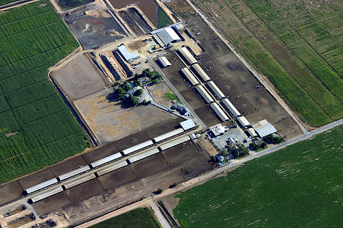
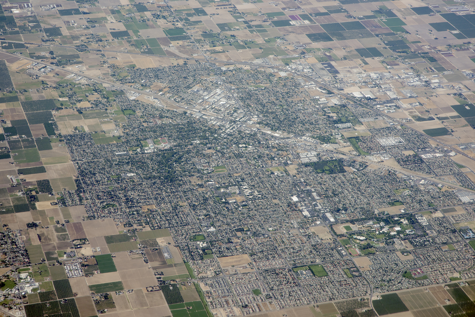
Aerial View of a Cattle Farm
california food geotagged tv cows science kqed dairy quest pbs globalwarming methane renewableenergy alternativefuel biofuel digester kqedquest geo:lat=373076890000039 geo:lon=120778657999999
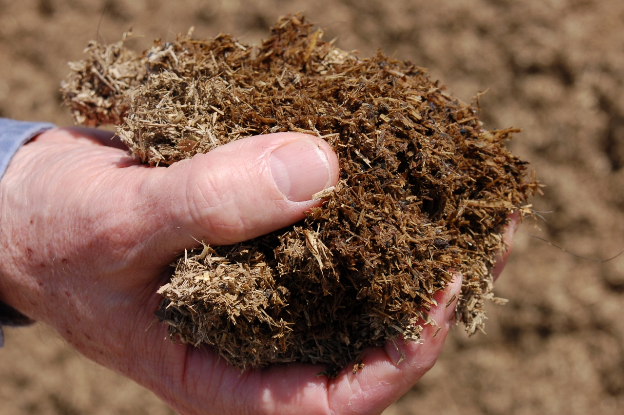
Waste to Power: Step 1
california food geotagged tv cows science kqed dairy quest pbs globalwarming methane renewableenergy alternativefuel biofuel digester kqedquest geo:lat=373076890000039 geo:lon=120778657999999
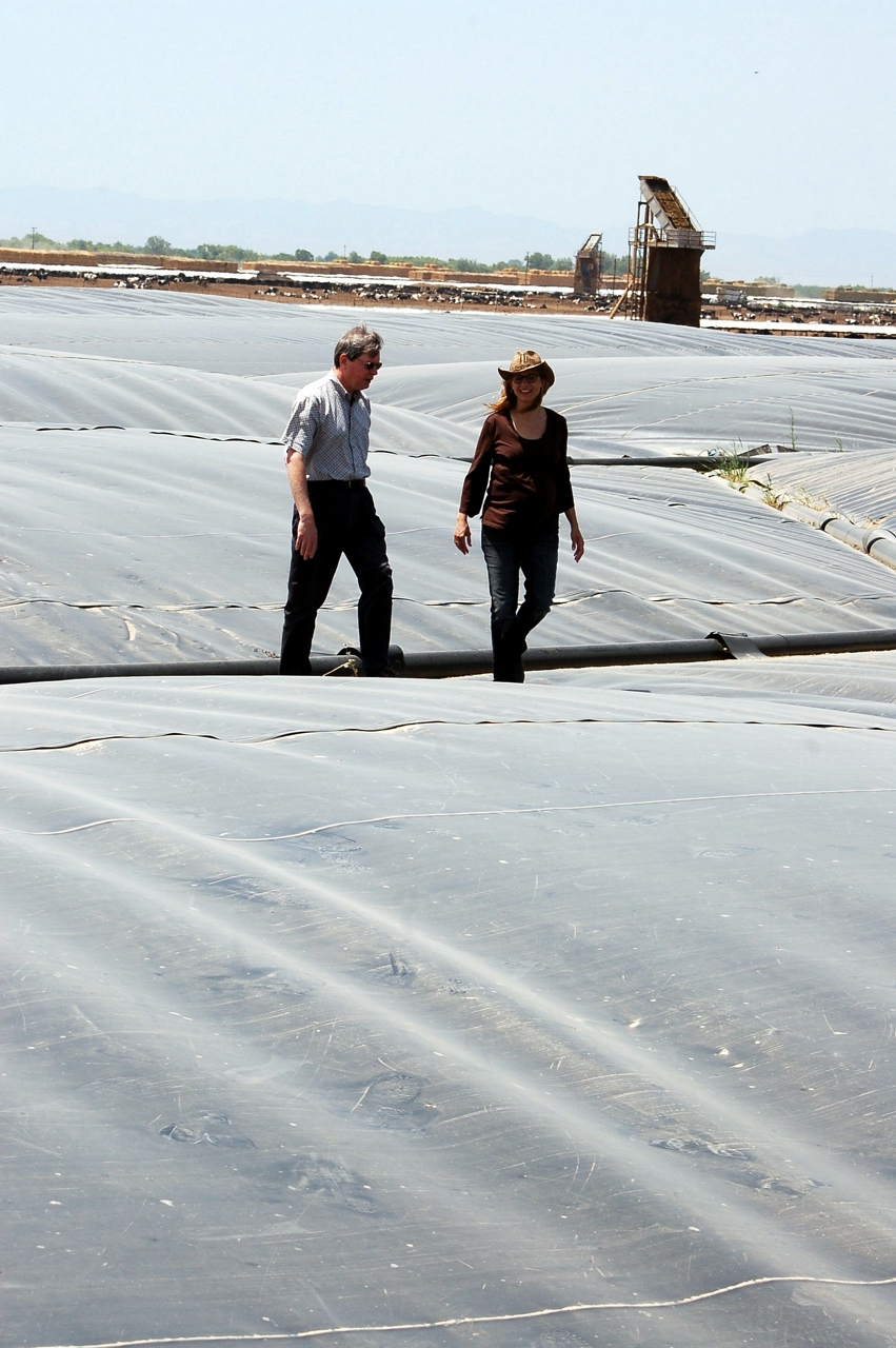
Waste to Power: Step 4
california food geotagged tv cows science kqed dairy quest pbs globalwarming methane renewableenergy alternativefuel biofuel digester kqedquest geo:lat=373076890000039 geo:lon=120778657999999
Waste to Power: Step 3
railroadcrossing
El Captain Way Railroad Crossing
california food geotagged tv cows science kqed dairy quest pbs globalwarming methane renewableenergy alternativefuel biofuel digester kqedquest geo:lat=373076890000039 geo:lon=120778657999999
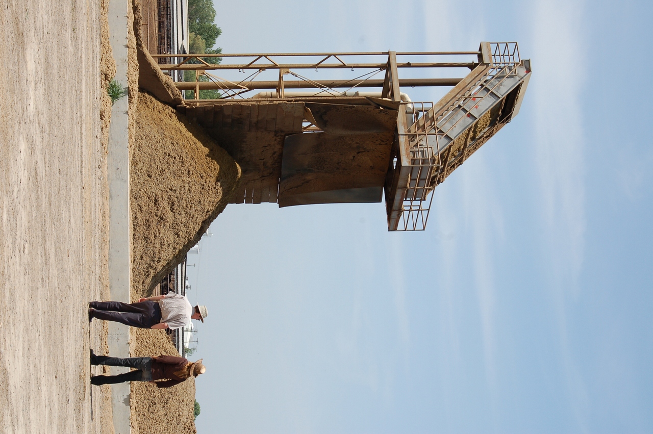
Waste to Power: Step 2
california food geotagged tv cows science kqed dairy quest pbs globalwarming methane renewableenergy alternativefuel biofuel digester kqedquest geo:lat=373076890000039 geo:lon=120778657999999
A Green Market
california food geotagged tv cows science kqed dairy quest pbs globalwarming methane renewableenergy alternativefuel biofuel digester kqedquest geo:lat=373076890000039 geo:lon=120778657999999
Waste to Power: Step 5
sunset tractor agriculture
Finishing out the day
Central Avenue Railroad Crossing Atwater,Ca
california food geotagged tv cows science kqed dairy quest pbs globalwarming methane renewableenergy alternativefuel biofuel digester kqedquest geo:lat=373076890000039 geo:lon=120778657999999
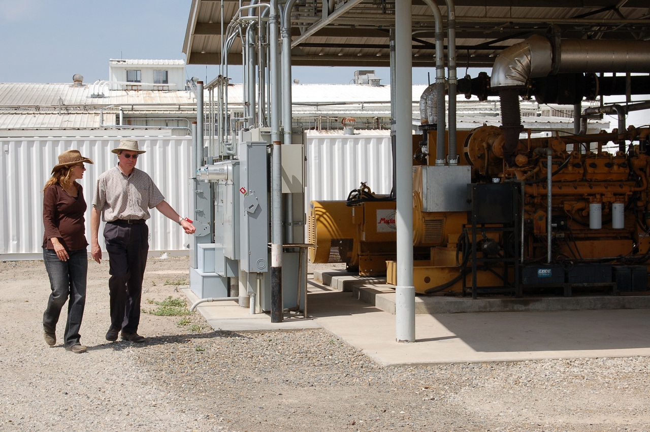
Waste to Power: Step 6
california food geotagged tv cows science kqed dairy quest pbs globalwarming methane renewableenergy alternativefuel biofuel digester kqedquest geo:lat=373076890000039 geo:lon=120778657999999
Sustainable Conservation
toys lego spaceship
Side view
square squareformat iphoneography instagramapp uploaded:by=instagram
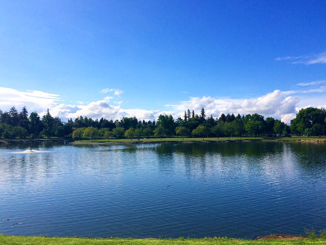
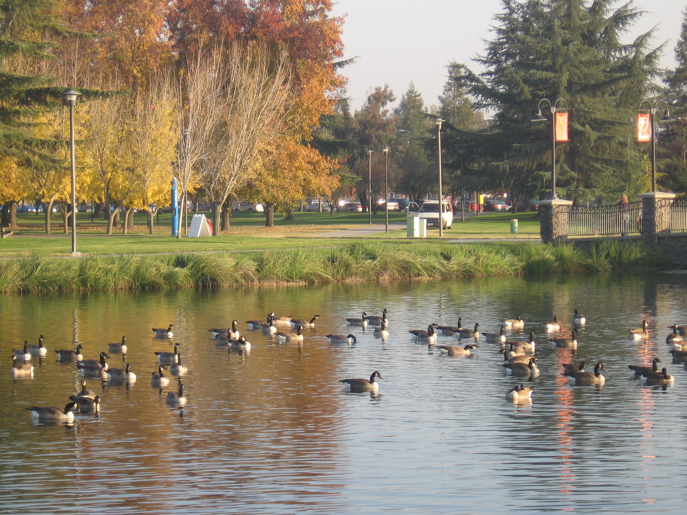
#mydailywalk #clouds #pond #park #RussellrenoPhotography #Russellreno #turlock
california trees farm almond merced naturepoetry
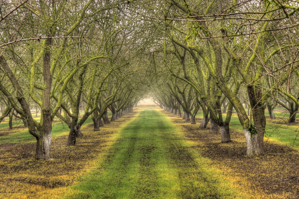
Rows of Almond Trees
Camera Roll-1786
Camera Roll-1784
road trees sky window nature glass clouds truck landscape grey crack rainy telephonepoles montevista uploaded:by=flickrmobile flickriosapp:filter=nofilter
A crack in the sky.
Camera Roll-1787
Camera Roll-1785
Moto Park
county railroad northerncalifornia rural train stanislaus railway farmland vehicles massive crops ge setting lds loads ctc naturalframing farmfield springday outofthebox denair burlingtonnorthernsantafe stanislauscounty bnsfrailway burlingtonnorthernsantaferailway unittrain gedash944cw gec449w stanislauscountycalifornia denaircalifornia strongwilledphotography felicestrongbaker bnsfstocktonsub stocktonsubdivision denairsiding trinityrailindustries safetransignalling southofhughson ebcswestdenair generalelectrictransportationsystems unitgraintrain northboundwestbound southboundeastbound
Heartland Patience
square lofi squareformat iphoneography instagramapp uploaded:by=instagram
#Walk #tree #roots #russellreno #rollerderby
square squareformat iphoneography instagramapp xproii uploaded:by=instagram foursquare:venue=4deaceffd164ef597cf65079
Foster Farms in the background, young almond trees, sweet potatoes, and wildflowers.
california places trains transportation states bnsf burlingtonnorthernsantafe kerncounty tehachipiloop
BNSF4604 Manifest westbound in the Tehachipi Loop.
square squareformat ludwig iphoneography instagramapp uploaded:by=instagram
#sunset #Tweakerville #turlock #rollerderby #russellreno #portrait #hdr
square squareformat iphoneography instagramapp uploaded:by=instagram
Made it to here!!
fall birds turlock migration canadageese csustanislaus
Beauty in unexpected places
usa roadtrip westcoast hwy101
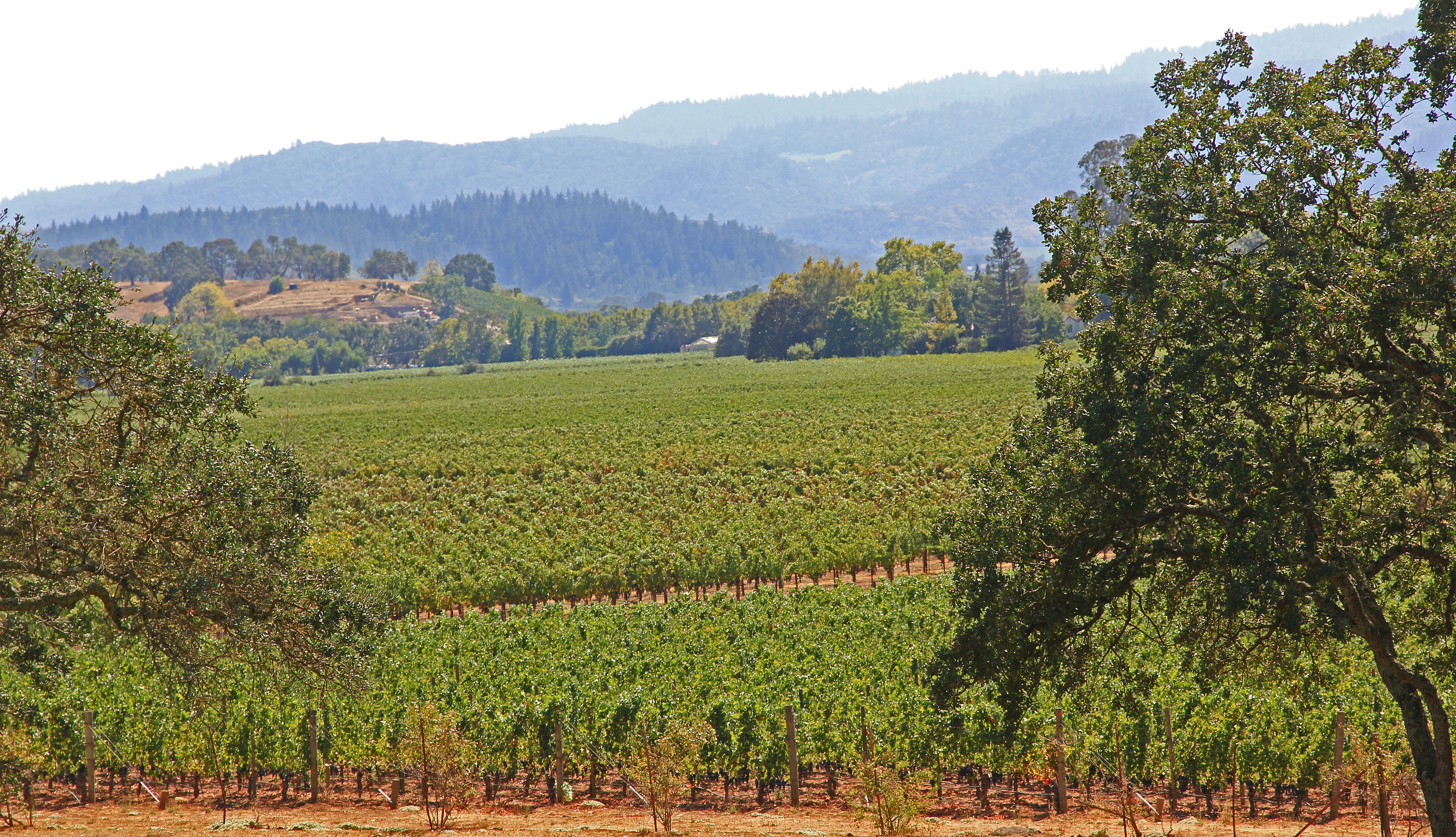
Vines Vines Every Where...
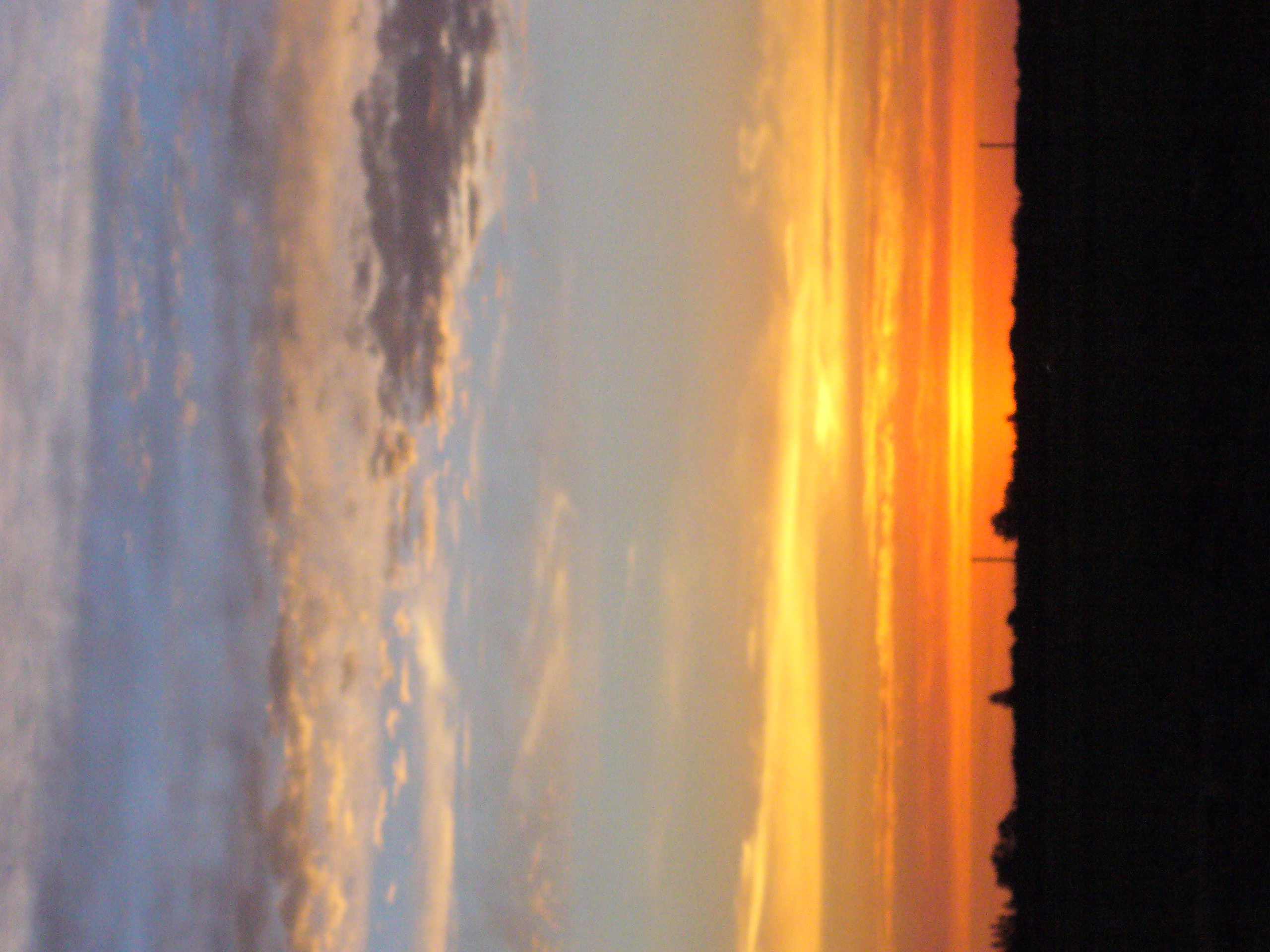
sunset clouds sunrise landscape turlock
Turlock Sunset 2