Elevation of Merritt St, Turlock, CA, USA
Location: United States > California > Stanislaus County > Turlock >
Longitude: -120.83170
Latitude: 37.4941166
Elevation: 34m / 112feet
Barometric Pressure: 101KPa
Elevation Map:
Satellite Map:
Related Photos:
On The Outside Looking In
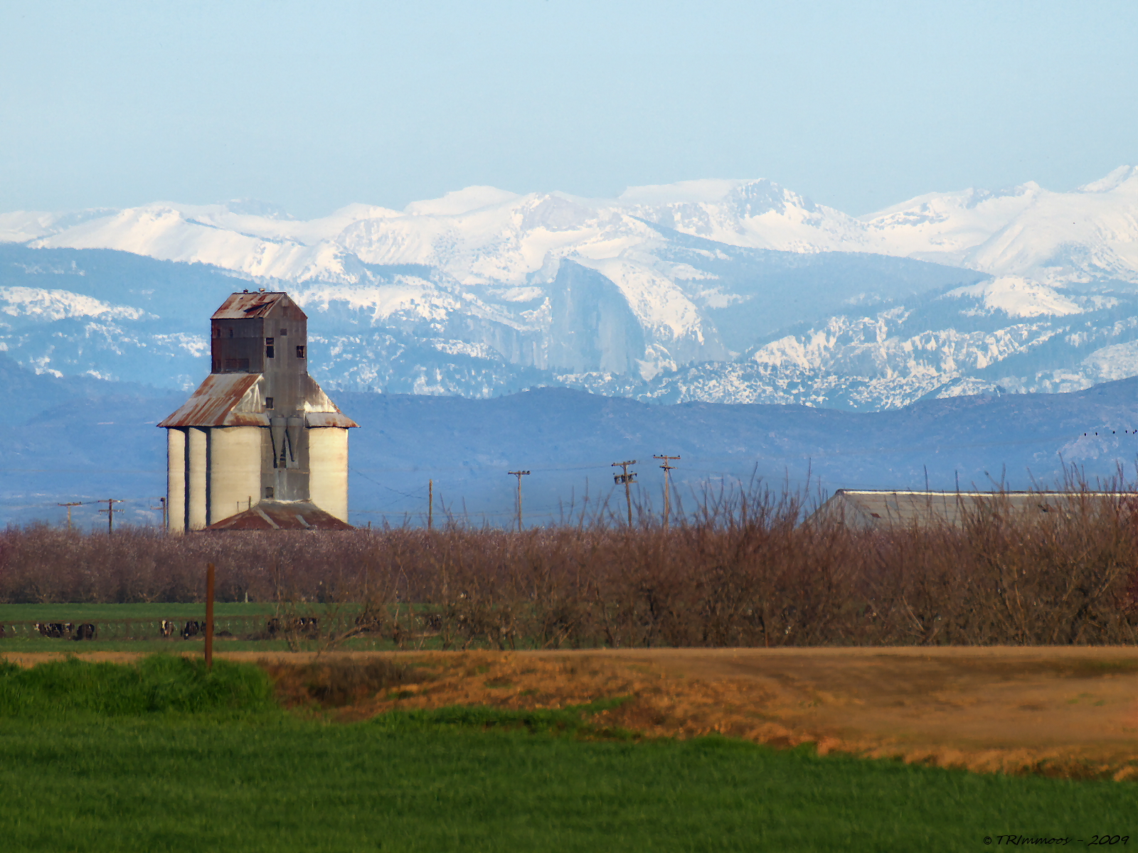
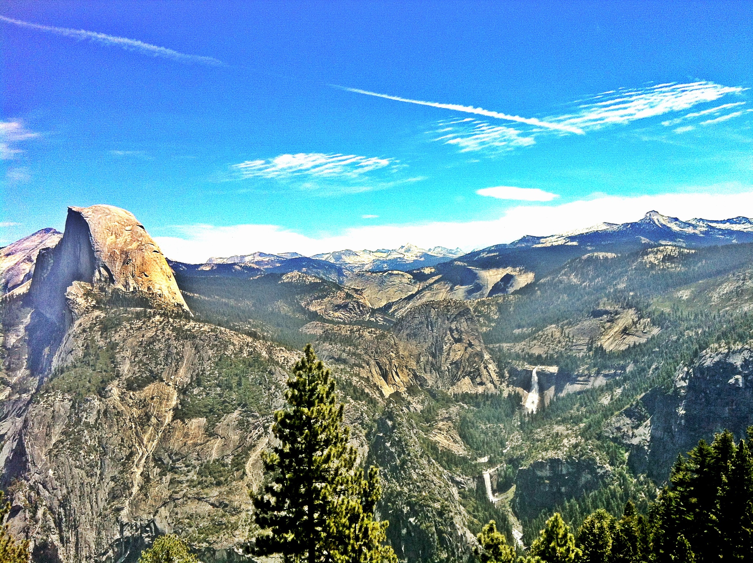
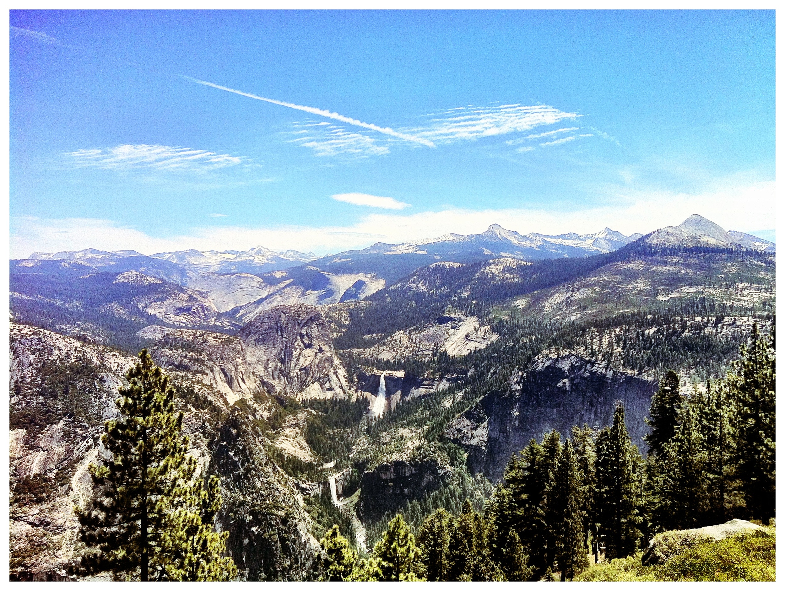
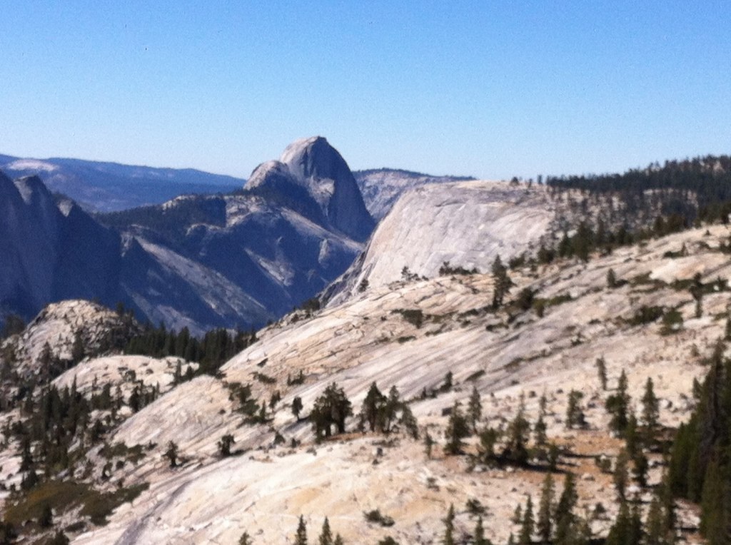
Yosemite NP and Half Dome from Denair, CA
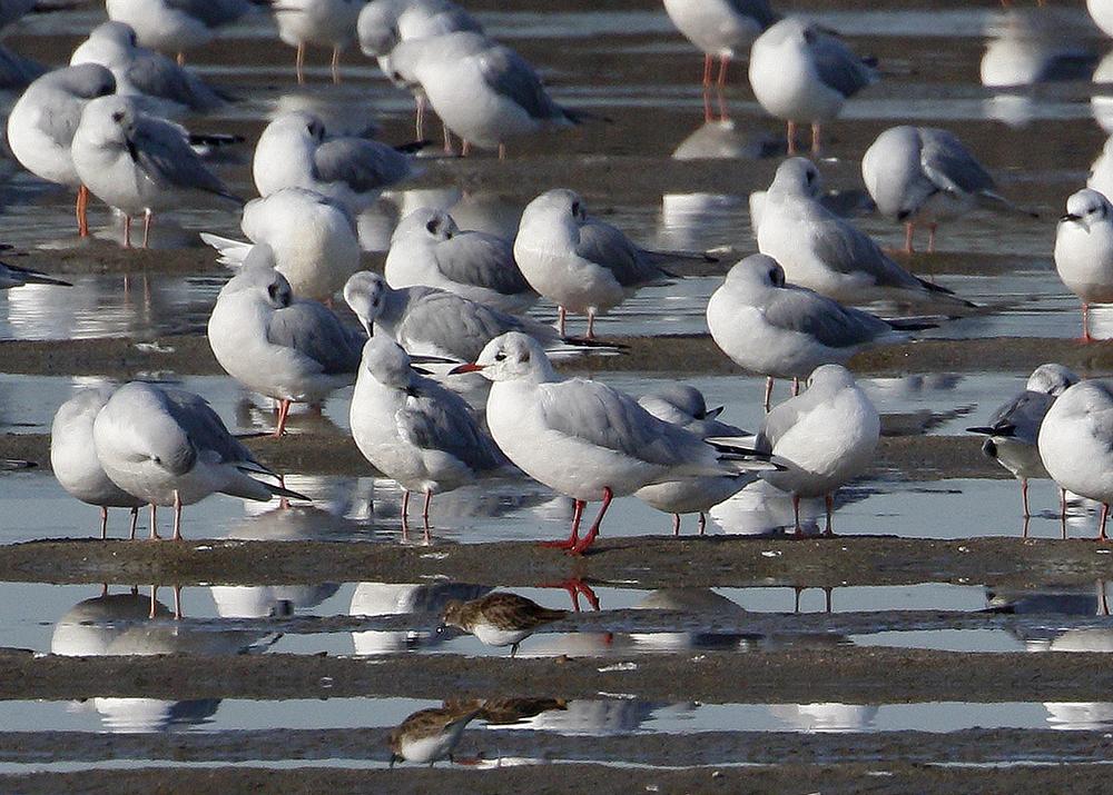
Black-headed Gull

She's a Dancer

The view from Karen's bluff at Lakewood Cemetery. It's a beautiful place for such a beautiful person. It's very quiet and peaceful here. ..
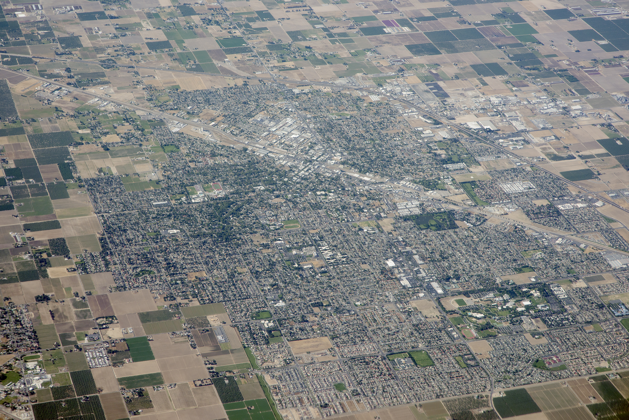
Above Turlock and Highway 99, Stanislaus County, California
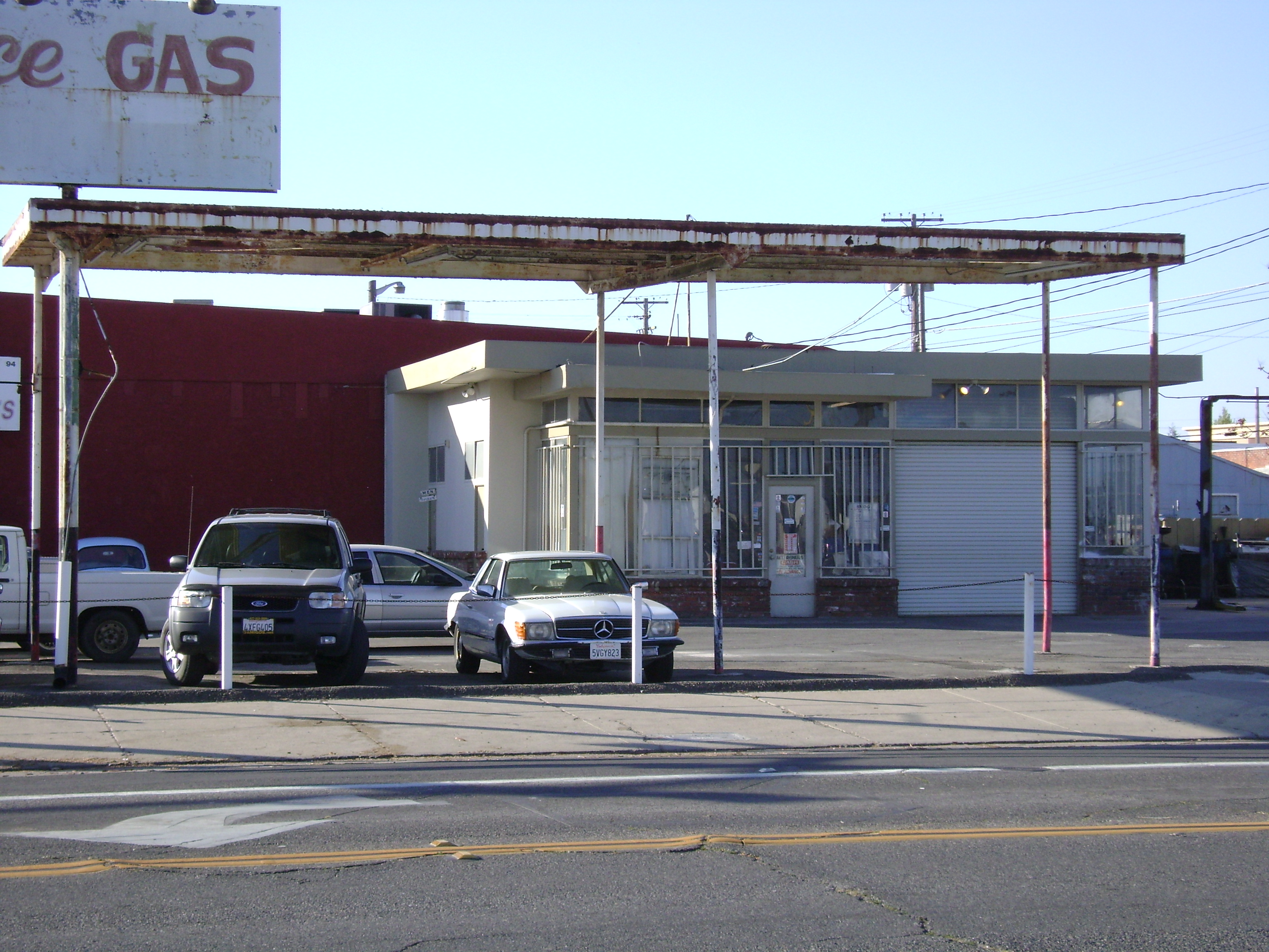
Town Service Gas
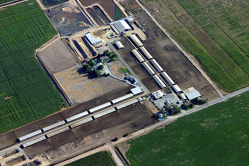
Aerial View of a Cattle Farm

Collier Road Railroad Crossing View

El Captain Way Railroad Crossing

Finishing out the day

All smiles

Denair,Monte Vista Avenue

Birthday Girl

Summer is coming

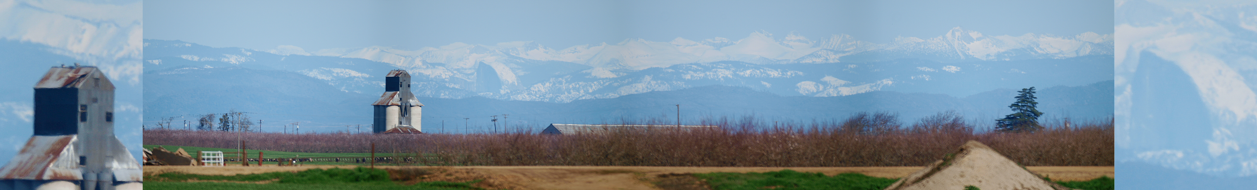
View From The Coast to Yosemite NP
2200 Caswell Avenue
A Return Trip

Simple playing.
Noeller Farm
Camera Roll-1786

Camera Roll-1784
Camera Roll-1785

A crack in the sky.
Beauty in unexpected places
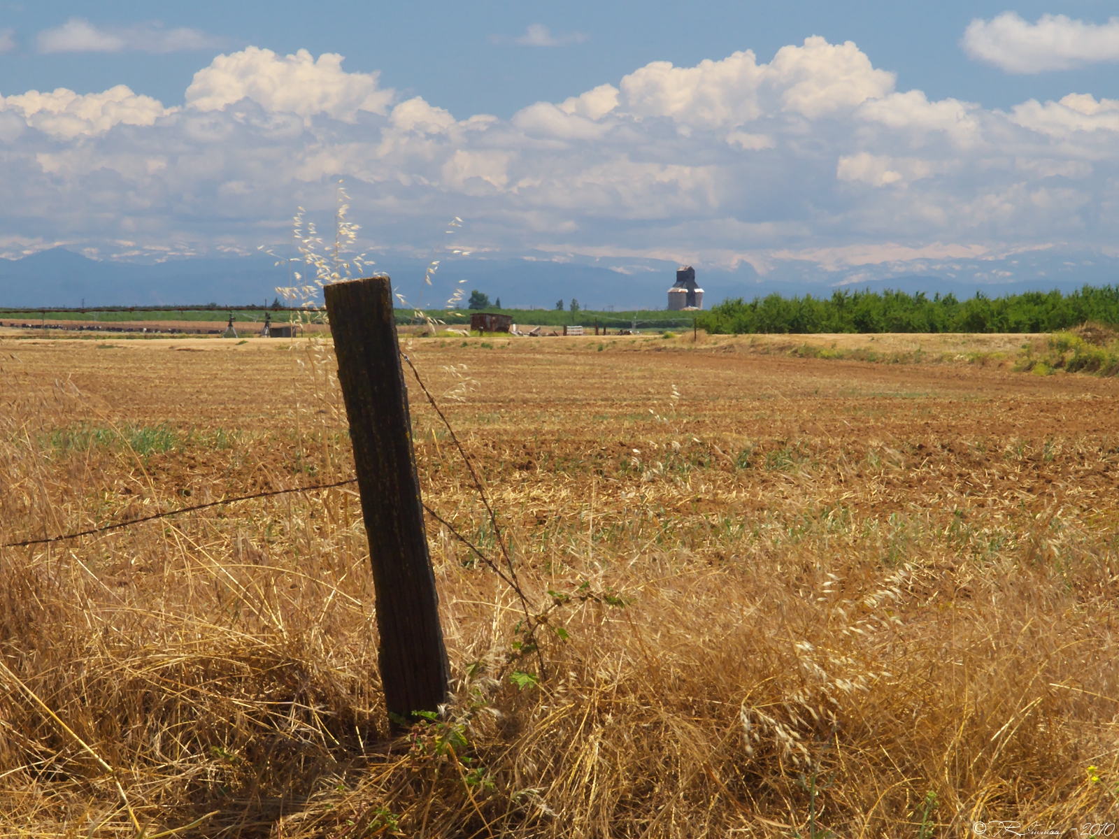
Heartland Patience
That odd grove of trees
Foster Farms in the background, young almond trees, sweet potatoes, and wildflowers.
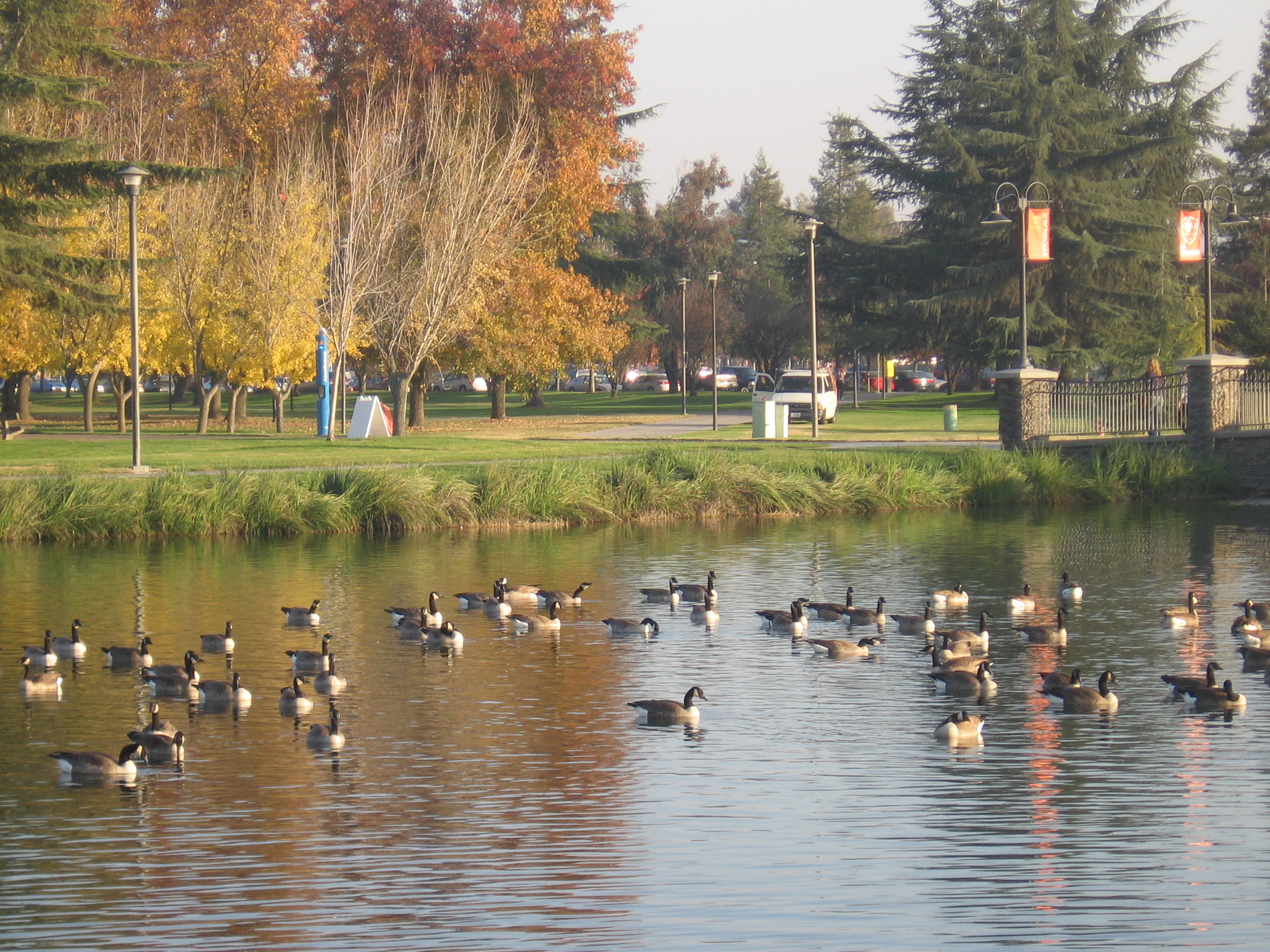
#mydailywalk #clouds #pond #park #RussellrenoPhotography #Russellreno #turlock

Yosemite Half Dome

Made it to here!!

BNSF4604 Manifest westbound in the Tehachipi Loop.
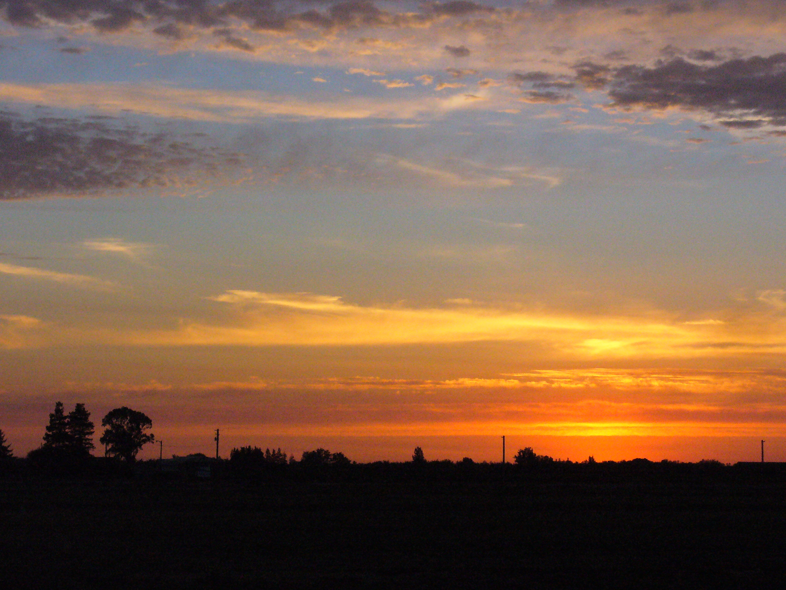
Turlock Sunset
Ah, Migration
R1-05351-010A
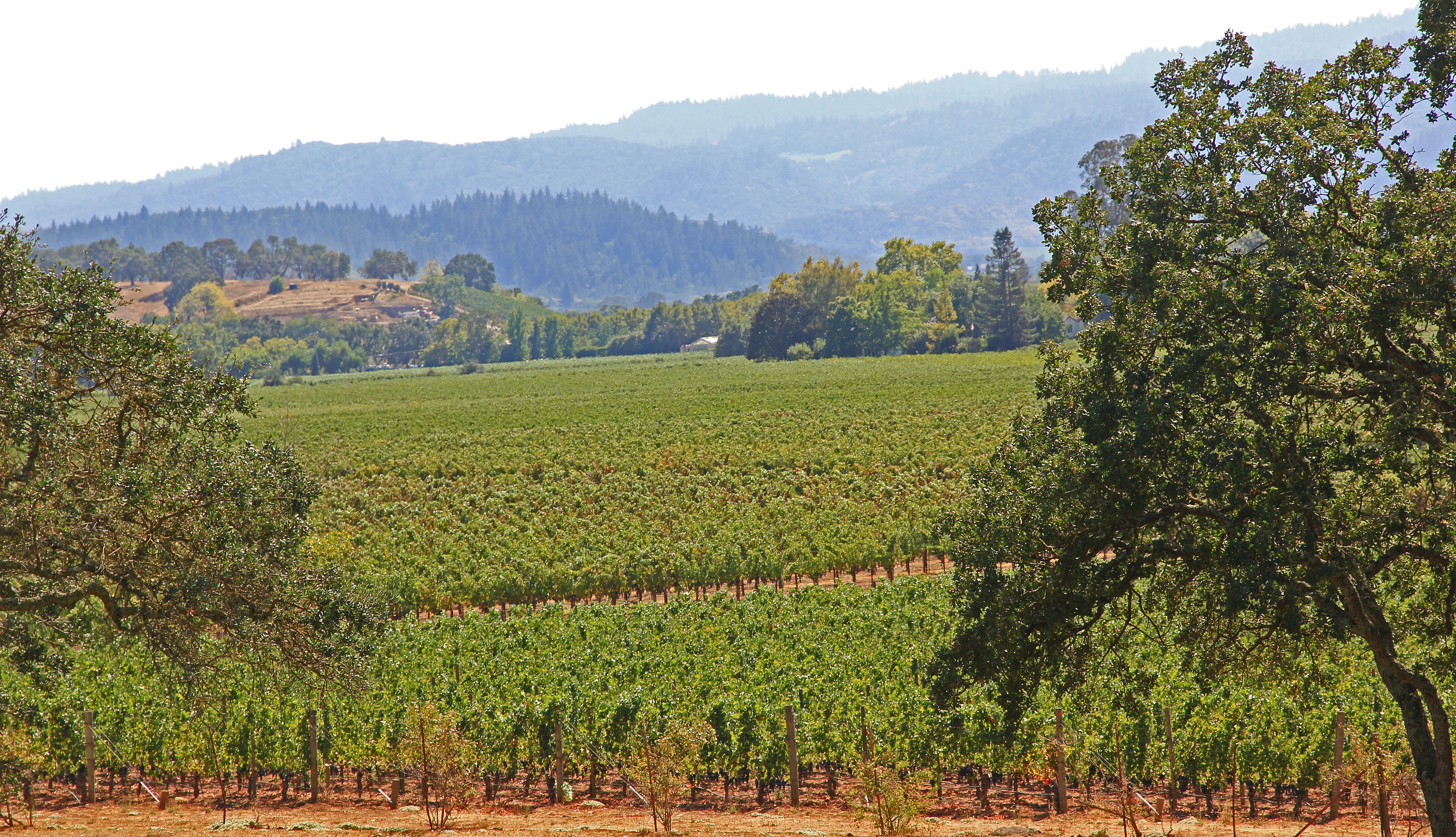
Vines Vines Every Where...
2012-09-02 10-57-33 N_05070

#sunrise over #Tweakerville #turlock #russellreno #rollerderby
Topographic Map of Merritt St, Turlock, CA, USA
Find elevation by address:

Places near Merritt St, Turlock, CA, USA:
Turlock
931 E Linwood Ave
2412 Dow St
1400 Trinity Way
4206 Piro Ct
Denair
Main St, Denair, CA, USA
4150 Ash Rd
Golden State Highway
S Faith Home Rd, Turlock, CA, USA
Santa Fe Dr, Turlock, CA, USA
8th St, Keyes, CA, USA
9431 E Whitmore Ave
Keyes
Hughson Ave, Hughson, CA, USA
Hughson
1220 Geer Rd
N Montpelier Rd, Denair, CA, USA
Ballico
Recent Searches:
- Elevation of W Granada St, Tampa, FL, USA
- Elevation of Pykes Down, Ivybridge PL21 0BY, UK
- Elevation of Jalan Senandin, Lutong, Miri, Sarawak, Malaysia
- Elevation of Bilohirs'k
- Elevation of 30 Oak Lawn Dr, Barkhamsted, CT, USA
- Elevation of Luther Road, Luther Rd, Auburn, CA, USA
- Elevation of Unnamed Road, Respublika Severnaya Osetiya — Alaniya, Russia
- Elevation of Verkhny Fiagdon, North Ossetia–Alania Republic, Russia
- Elevation of F. Viola Hiway, San Rafael, Bulacan, Philippines
- Elevation of Herbage Dr, Gulfport, MS, USA