Elevation of E Linwood Ave, Turlock, CA, USA

Location: United States > California > Stanislaus County > Turlock >

Longitude: -120.83870

Latitude: 37.4783477

Elevation: 33m / 108feet

Barometric Pressure: 101KPa

Elevation Map:

elevation map of E Linwood Ave, Turlock, CA, USA

Satellite Map:

Satellite map of E Linwood Ave, Turlock, CA, USA

Related Photos:

california blue winter sky snow tree sunshine rock wow landscape nationalpark landmark olympus potd explore yosemite dome half granite halfdome yosemitenationalpark e3 elcapitan sierranevada daytrip yosemitevalley centralvalley cloudsrest denair californialandscape sentinaldome mariposacounty stanislauscounty 50000views granitedome telephotolandscape sigma135400mmf4556 olympuse3
On The Outside Looking In
acdseeultimate california earth ecosystem farmfield field flora landscapes may naturalhabitatadventures naturalworld nature nikond700 northamerica photogeorge photoshoot spring turlock unitedstatesofamerica us
View From The Coast to Yosemite NP
acdseeultimate california earth ecosystem farmfield field flora landscapes may naturalhabitatadventures naturalworld nature nikond700 northamerica photogeorge photoshoot spring turlock unitedstatesofamerica us
View From The Coast to Yosemite NP
Black-headed Gull
windowview intheplane windowseat 飛機 비행기 avión самолет aereo vliegtuig 飛行機 avion flugzeug awyren aircraft airliner αεροπλάνο airplane plane jet altitude flight fly airplanewing jetwing wing λεπίδοσ πτερόν aerial aério aéreo كاليفورنيا 加州 캘리포니아 калифорния καλιφόρνια カリフォルニア kalifornien cali californië californie california northerncalifornia norcal southwestairlines merced vacation vacanze holiday
#SFO to #LAS on #SouthwestAirlines #WindowSeat
california olympus yosemite halfdome e3 yosemiteblog denair californialandscape zd yosemiteblogcom 1260mm olympuse3
A Return Trip
california turlock sanjoaquinvalley highway99 aerialphotograph stanislauscounty
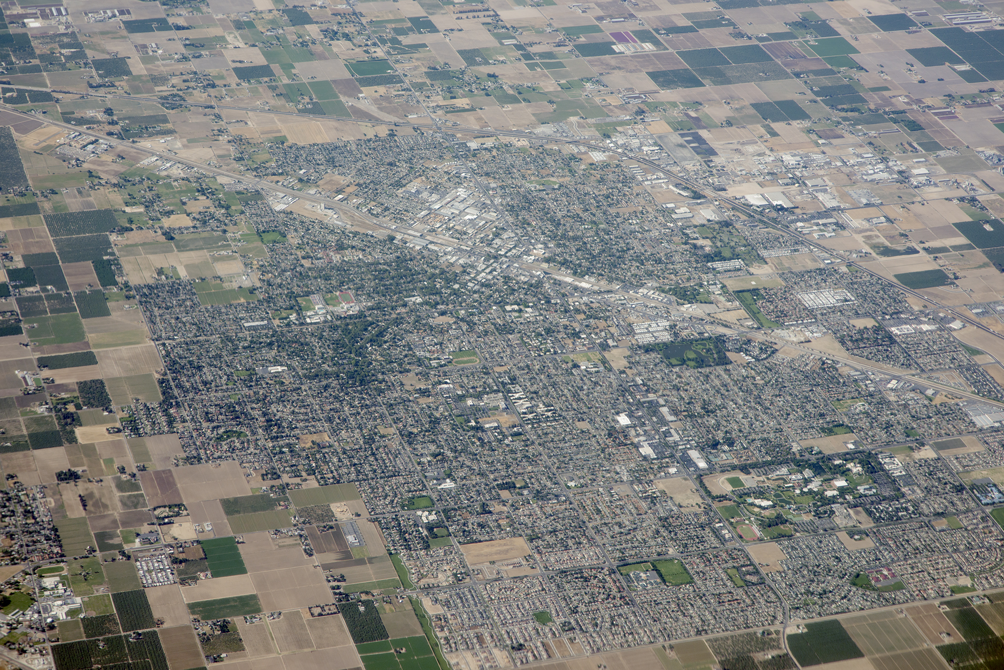
Above Turlock and Highway 99, Stanislaus County, California
yosemite halfdome 1000views
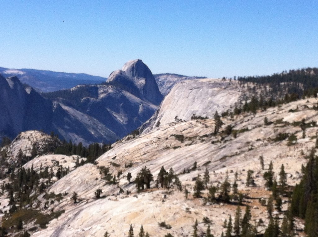
Yosemite NP and Half Dome from Denair, CA
halfdome yosemiteblog yosemiteblogcom
Distant View - Half Dome from 68.99 miles (Merriam and E Taylor roads)
food usa america cow unitedstates cattle farm unitedstatesofamerica aerial fromabove modesto turlock steak hamburger agriculture dairy fromtheair feedlot californa
Aerial View of a Cattle Farm
toys lego spaceship
Side view
old gasstation turlock oldhwy99 ushwy99
Town Service Gas
acdseeultimate california earth ecosystem farmfield field flora landscapes may naturalhabitatadventures naturalworld nature nikond700 northamerica photogeorge photoshoot spring turlock unitedstatesofamerica us
View From The Coast to Yosemite NP
light blackandwhite bw umbrella studio dance sb800 singlelight strobist atque artificia
She's a Dancer
cherries kodak ella memorialday
All smiles
hot wet swimming scarlet birthdayparty
Simple playing.
hot wet swimming birthdayparty cyrus
Summer is coming
birthday blackandwhite baby smile scarlet kid 500mmf18
Birthday Girl
sunset tractor agriculture
Finishing out the day
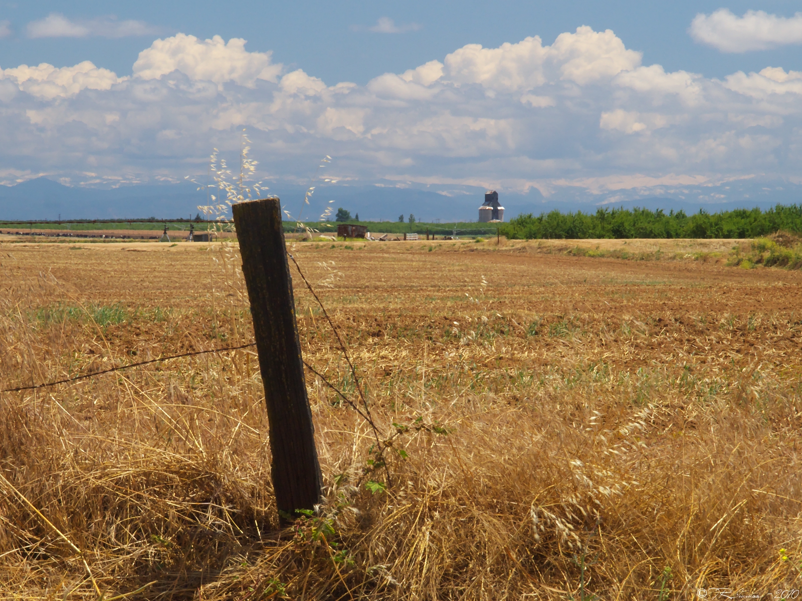
Stanislaus county
square squareformat iphoneography instagramapp uploaded:by=instagram
#mydailywalk #clouds #pond #park #RussellrenoPhotography #Russellreno #turlock
instagramapp square squareformat iphoneography uploaded:by=instagram mayfair
#fireseason #sunset #russellreno #russellrenophotography #turlock
instagramapp square squareformat iphoneography uploaded:by=instagram
美景到哪人就到哪 #公路旅行 #yosemite #yosemitenationalpark #vscocam #旅 #旅行
road trees sky window nature glass clouds truck landscape grey crack rainy telephonepoles montevista uploaded:by=flickrmobile flickriosapp:filter=nofilter
A crack in the sky.
county railroad northerncalifornia rural train stanislaus railway farmland vehicles massive crops ge setting lds loads ctc naturalframing farmfield springday outofthebox denair burlingtonnorthernsantafe stanislauscounty bnsfrailway burlingtonnorthernsantaferailway unittrain gedash944cw gec449w stanislauscountycalifornia denaircalifornia strongwilledphotography felicestrongbaker bnsfstocktonsub stocktonsubdivision denairsiding trinityrailindustries safetransignalling southofhughson ebcswestdenair generalelectrictransportationsystems unitgraintrain northboundwestbound southboundeastbound
Heartland Patience
fall birds turlock migration canadageese csustanislaus
Ah, Migration
california landscape unitedstates tourists yosemite halfdome yosemitenationalpark ceres yosemitevalley
Yosemite Half Dome
summer2011 uploaded:by=flickrmobile flickriosapp:filter=nofilter
Phone pictures
fall birds turlock migration canadageese csustanislaus
Beauty in unexpected places
fall birds turlock migration canadageese csustanislaus
grey geese in green grass grazing.
square squareformat iphoneography instagramapp xproii uploaded:by=instagram foursquare:venue=4deaceffd164ef597cf65079
Foster Farms in the background, young almond trees, sweet potatoes, and wildflowers.
california places trains transportation states bnsf burlingtonnorthernsantafe kerncounty tehachipiloop
BNSF4604 Manifest westbound in the Tehachipi Loop.
square lofi squareformat iphoneography instagramapp uploaded:by=instagram
#Walk #tree #roots #russellreno #rollerderby
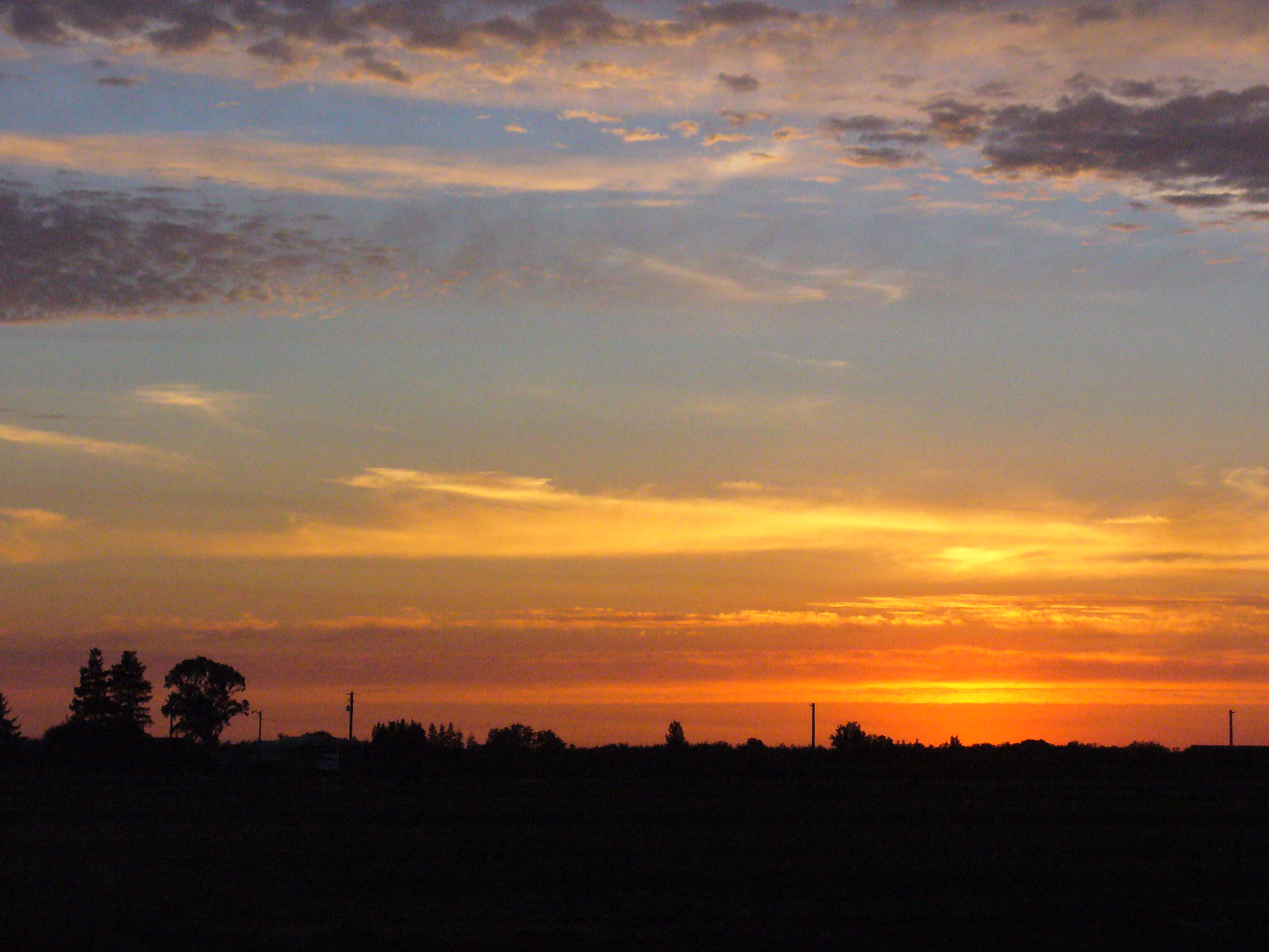
sunset sun clouds sunrise landscape horizon turlock
Turlock Sunset
fall birds turlock migration canadageese csustanislaus
Here, birdie, birdie, birdie!
2012-09-02 10-57-33 N_05070