Elevation of Mweso, Democratic Republic of the Congo
Location: Democratic Republic Of The Congo > North-kivu >
Longitude: 29.0329
Latitude: -1.1155839
Elevation: 1477m / 4846feet
Barometric Pressure: 85KPa
Elevation Map:
Satellite Map:
Related Photos:

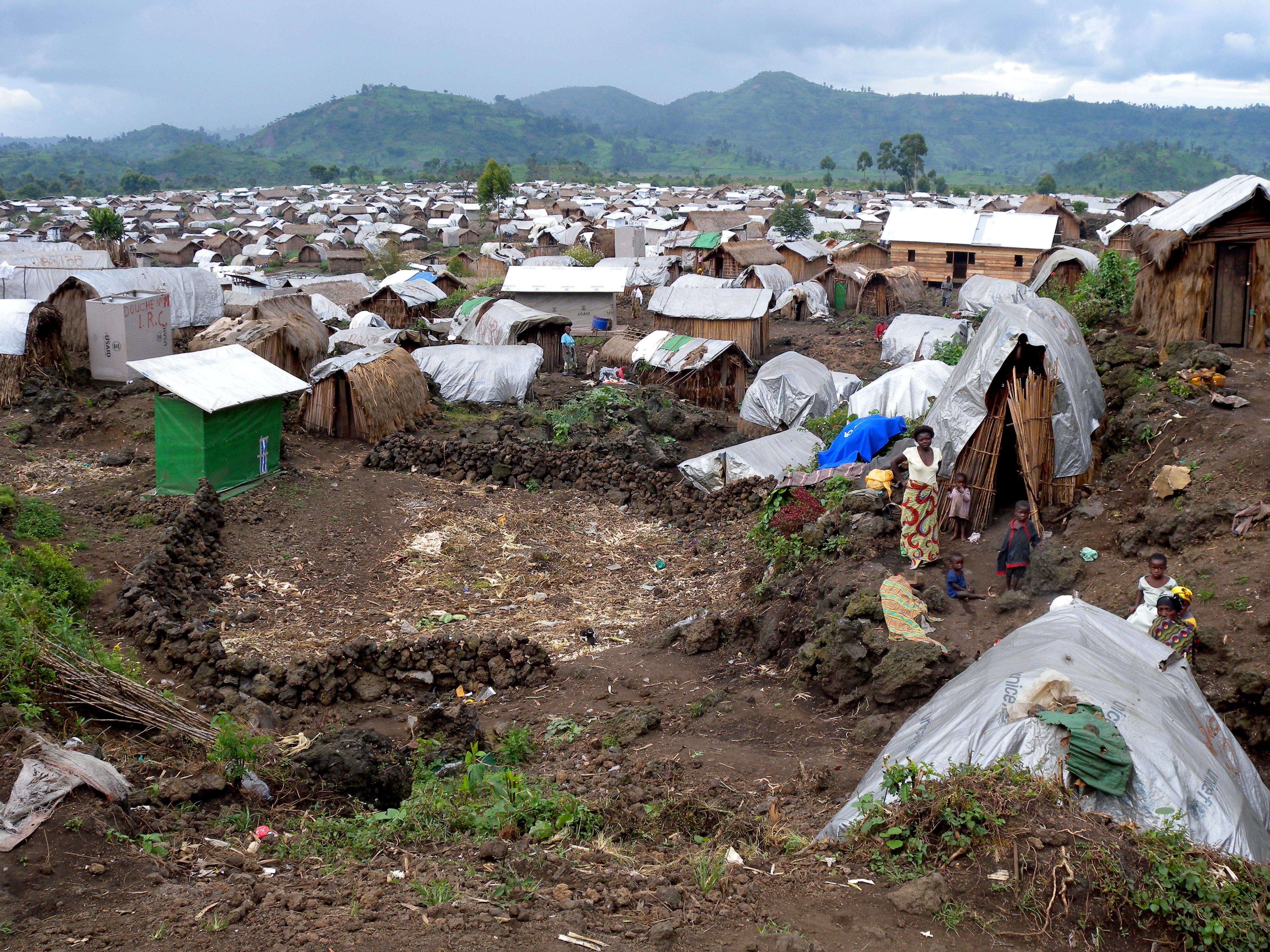
IDP Camp - Mungote, Kitchanga area, North Kivu, DRC
Topographic Map of Mweso, Democratic Republic of the Congo
Find elevation by address:

Places near Mweso, Democratic Republic of the Congo:
Recent Searches:
- Elevation of Placer Mine Ln, West Jordan, UT, USA
- Elevation of E 63rd St, New York, NY, USA
- Elevation of Elk City, OK, USA
- Elevation of Erika Dr, Windsor, CA, USA
- Elevation of Village Ln, Finleyville, PA, USA
- Elevation of 24 Oakland Rd #, Scotland, ON N0E 1R0, Canada
- Elevation of Deep Gap Farm Rd E, Mill Spring, NC, USA
- Elevation of Dog Leg Dr, Minden, NV, USA
- Elevation of Dog Leg Dr, Minden, NV, USA
- Elevation of Kambingan Sa Pansol Atbp., Purok 7 Pansol, Candaba, Pampanga, Philippines