Elevation of Rutshuru, Democratic Republic of the Congo
Location: Democratic Republic Of The Congo > North-kivu >
Longitude: 29.4469508
Latitude: -1.1855697
Elevation: 1246m / 4088feet
Barometric Pressure: 87KPa
Elevation Map:
Satellite Map:
Related Photos:

DSC_0494
DSC_0504
DSC_0529
DSC_0464
DSC_0512
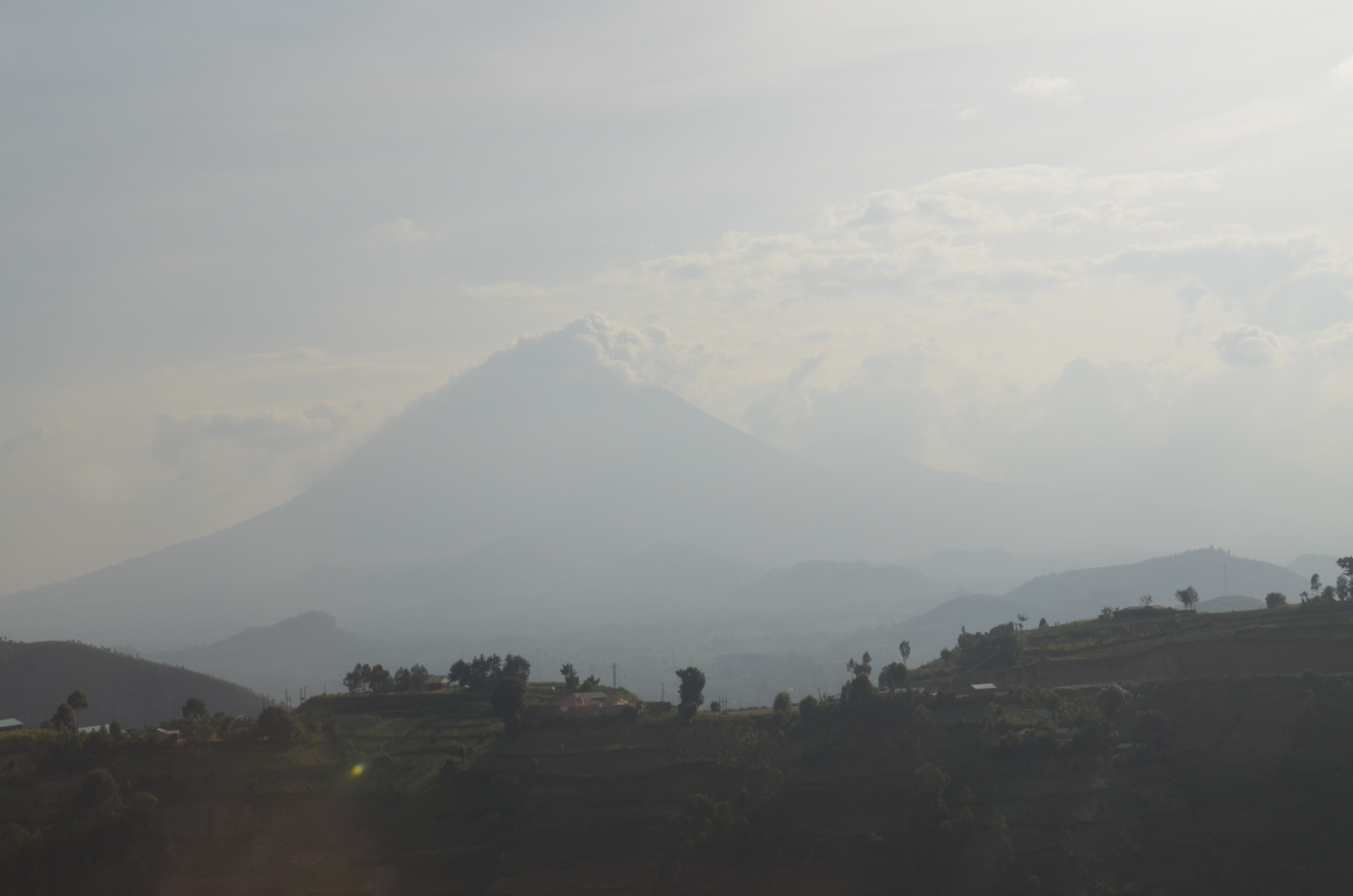
DSC_0519

DSC_0497
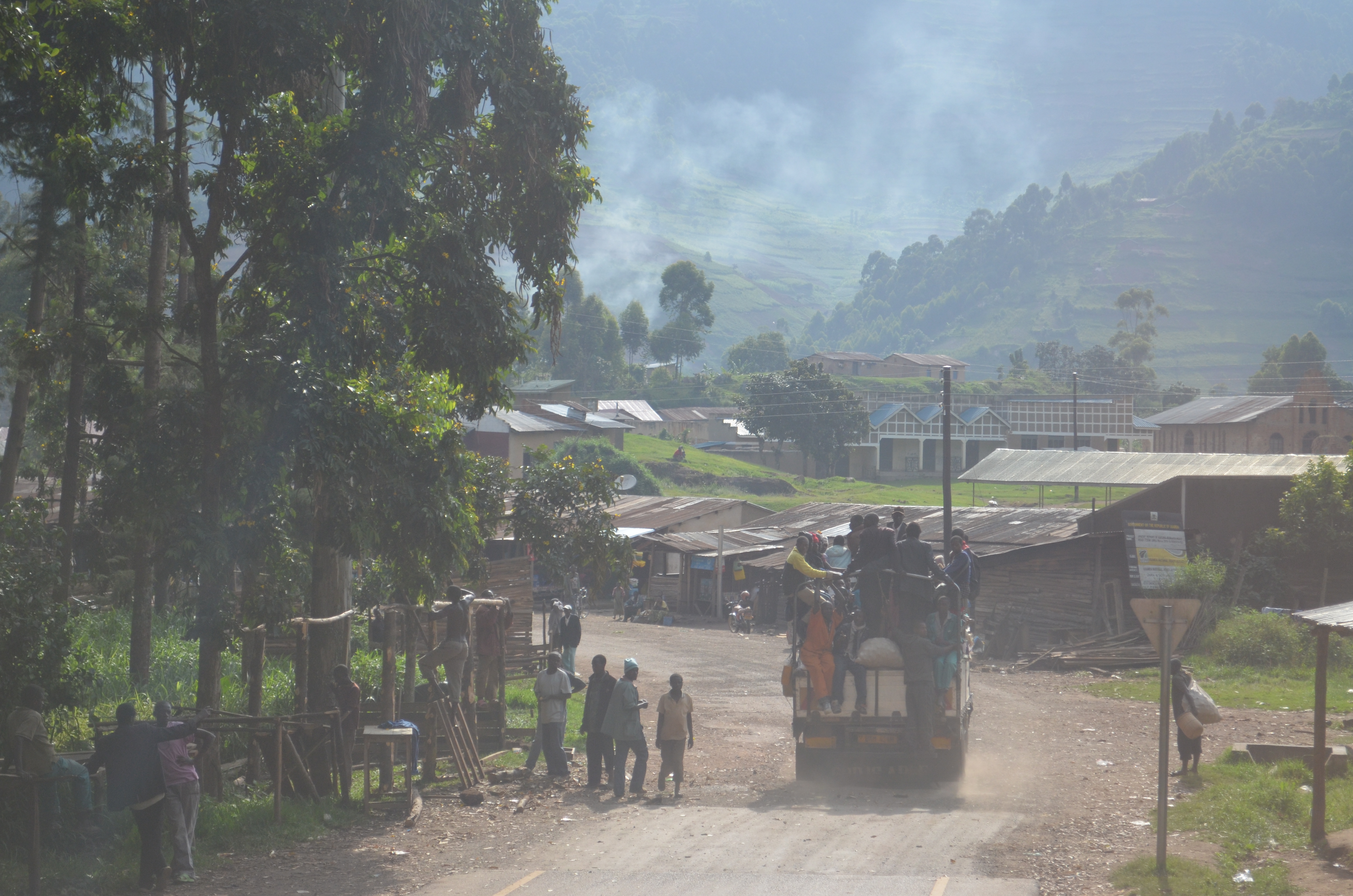
DSC_0460
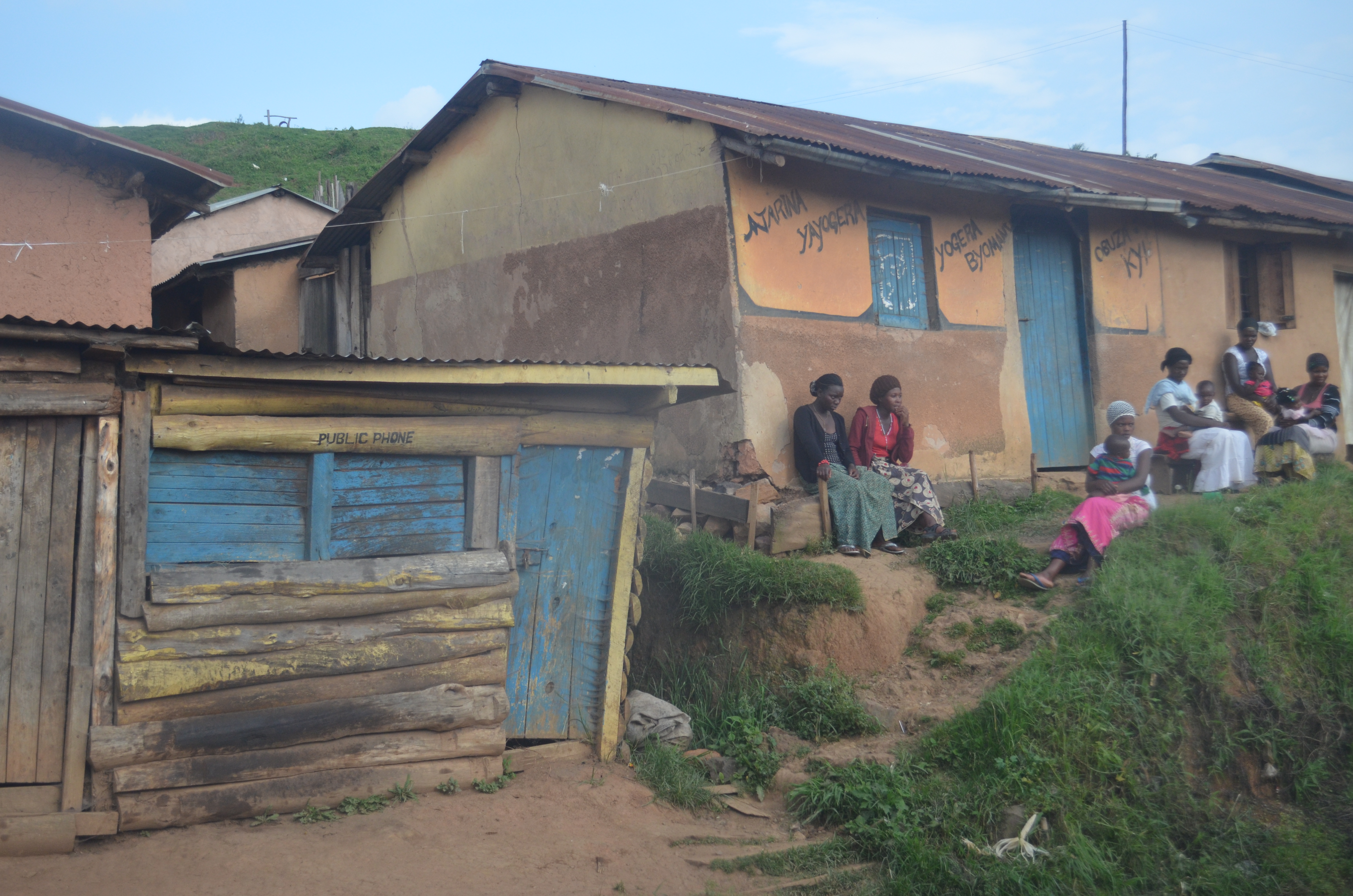
DSC_0491
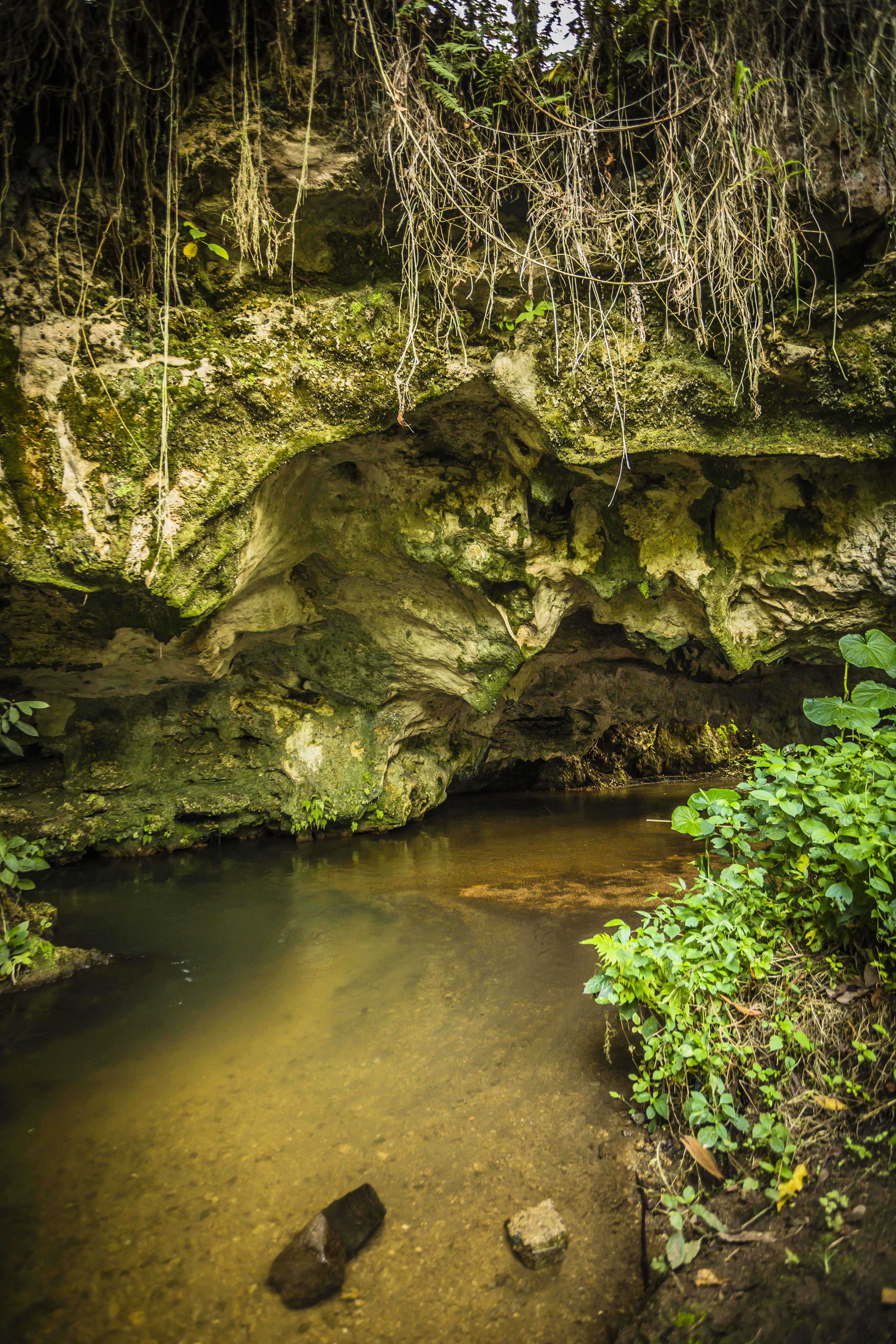
JosephKing-20140227-DRC2014-R62A9708
Topographic Map of Rutshuru, Democratic Republic of the Congo
Find elevation by address:

Places near Rutshuru, Democratic Republic of the Congo:
Recent Searches:
- Elevation of Pinewood Dr, New Bern, NC, USA
- Elevation of Mountain View, CA, USA
- Elevation of Foligno, Province of Perugia, Italy
- Elevation of Blauwestad, Netherlands
- Elevation of Bella Terra Blvd, Estero, FL, USA
- Elevation of Estates Loop, Priest River, ID, USA
- Elevation of Woodland Oak Pl, Thousand Oaks, CA, USA
- Elevation of Brownsdale Rd, Renfrew, PA, USA
- Elevation of Corcoran Ln, Suffolk, VA, USA
- Elevation of Mamala II, Sariaya, Quezon, Philippines