Elevation of Virunga National Park, Democratic Republic of the Congo
Location: Democratic Republic Of The Congo > North-kivu >
Longitude: 29.5142852
Latitude: -0.050221
Elevation: 1278m / 4193feet
Barometric Pressure: 87KPa
Elevation Map:
Satellite Map:
Related Photos:

20140429-DSC_5703.jpg
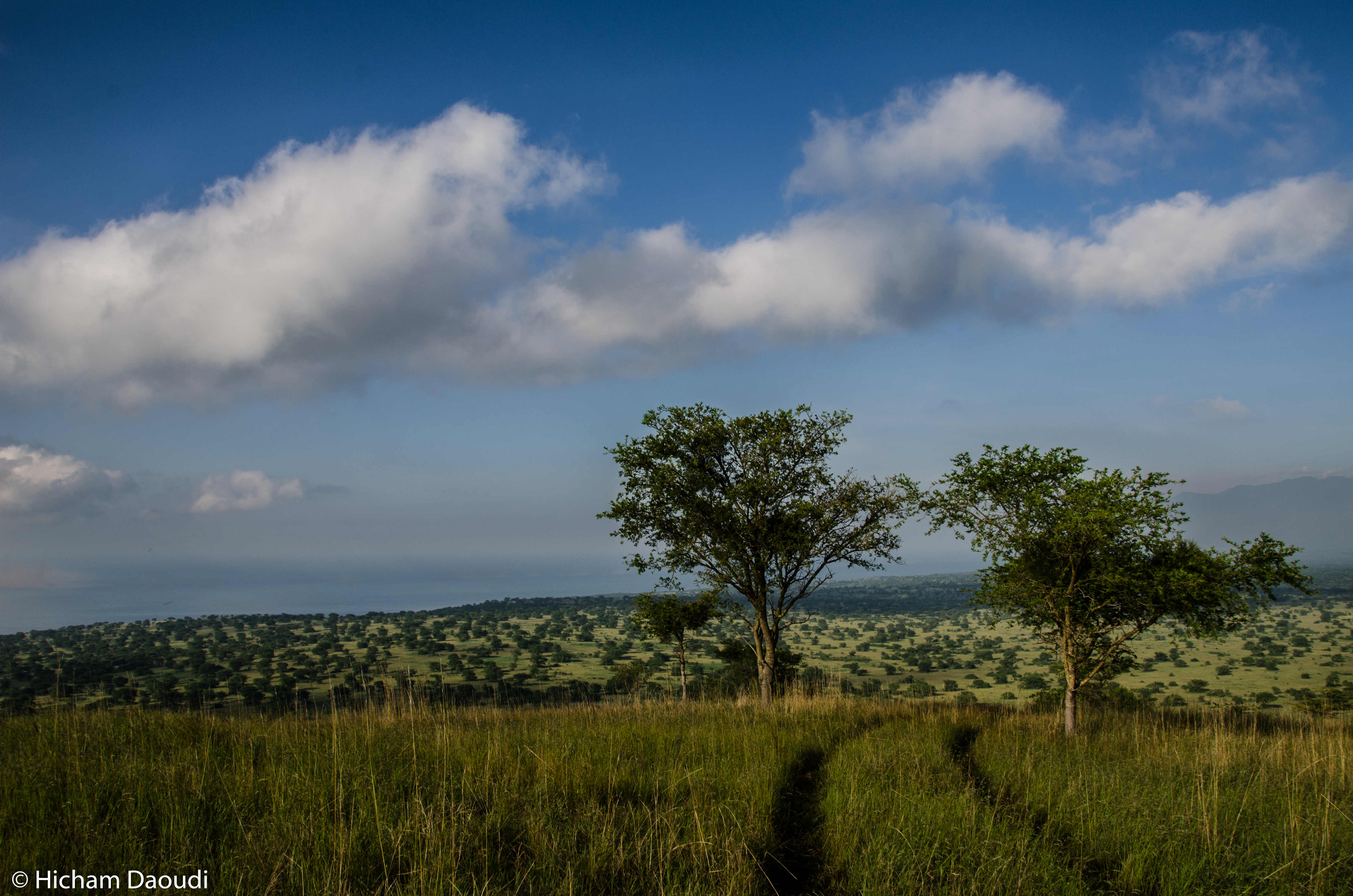
20140429-DSC_5635.jpg
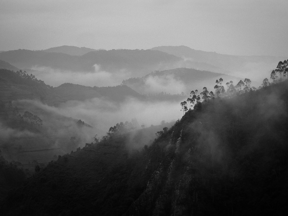
Virunga mountains b&w

JosephKing-20140304-DRC2014-2014-03-04 08.22.03

20140428-DSC_5509.jpg

20140428-DSC_5512.jpg

20140428-DSC_5536.jpg

20140428-DSC_5542.jpg

20140428-DSC_5564.jpg

20140428-DSC_5595.jpg

20140428-DSC_5605.jpg

20140428-DSC_5609.jpg

20140428-DSC_5611.jpg

20140428-DSC_5620.jpg

20140428-DSC_5625.jpg
20140428-DSC_5629.jpg

20140428-DSC_5630.jpg

20140429-DSC_5669.jpg

20140429-DSC_5679.jpg

20140429-DSC_5714.jpg

20140429-DSC_5749.jpg
Topographic Map of Virunga National Park, Democratic Republic of the Congo
Find elevation by address:

Places near Virunga National Park, Democratic Republic of the Congo:
Recent Searches:
- Elevation of Pinewood Dr, New Bern, NC, USA
- Elevation of Mountain View, CA, USA
- Elevation of Foligno, Province of Perugia, Italy
- Elevation of Blauwestad, Netherlands
- Elevation of Bella Terra Blvd, Estero, FL, USA
- Elevation of Estates Loop, Priest River, ID, USA
- Elevation of Woodland Oak Pl, Thousand Oaks, CA, USA
- Elevation of Brownsdale Rd, Renfrew, PA, USA
- Elevation of Corcoran Ln, Suffolk, VA, USA
- Elevation of Mamala II, Sariaya, Quezon, Philippines