Elevation of Murray, KY, USA
Location: United States > Kentucky > Calloway County >
Longitude: -88.314761
Latitude: 36.6103334
Elevation: 164m / 538feet
Barometric Pressure: 99KPa
Elevation Map:
Satellite Map:
Related Photos:

Another view of the head
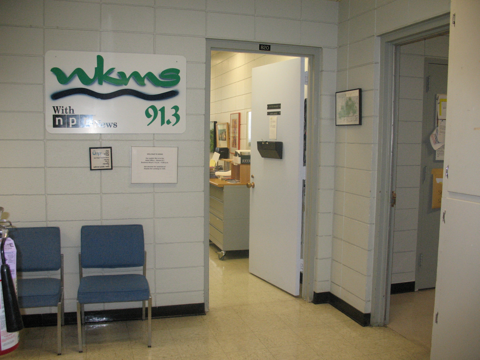
Entrance area to WKMS
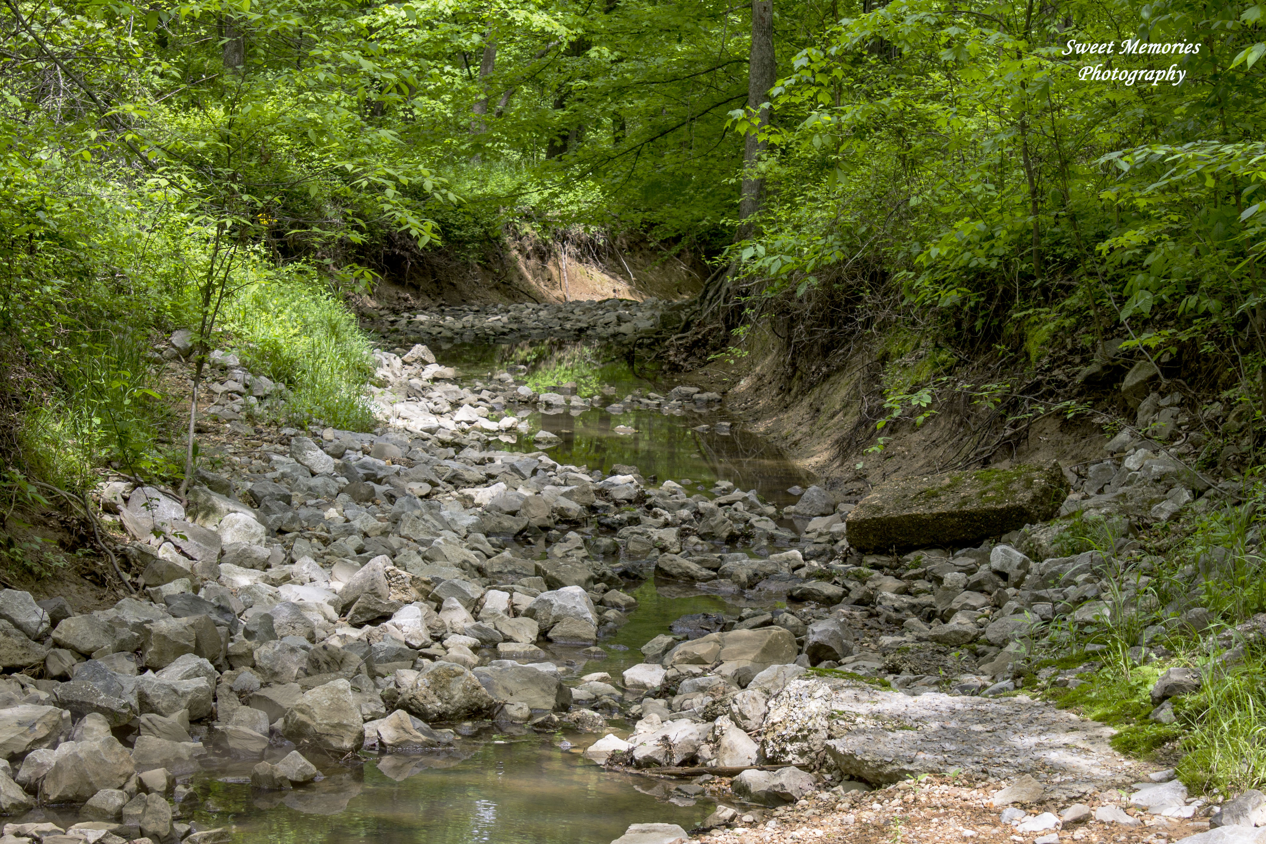
Rock Creek
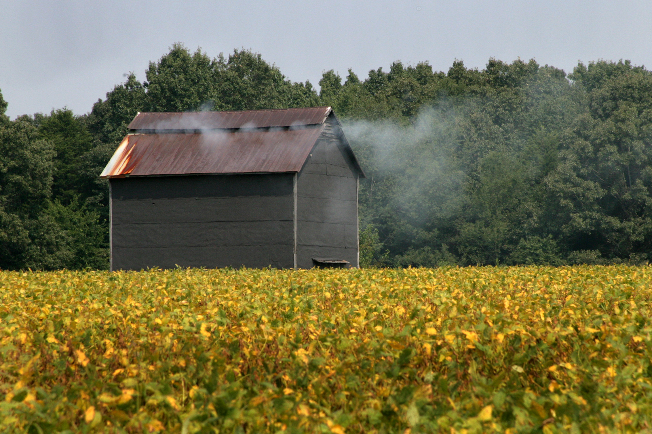
Tobacco barn in a soybean field
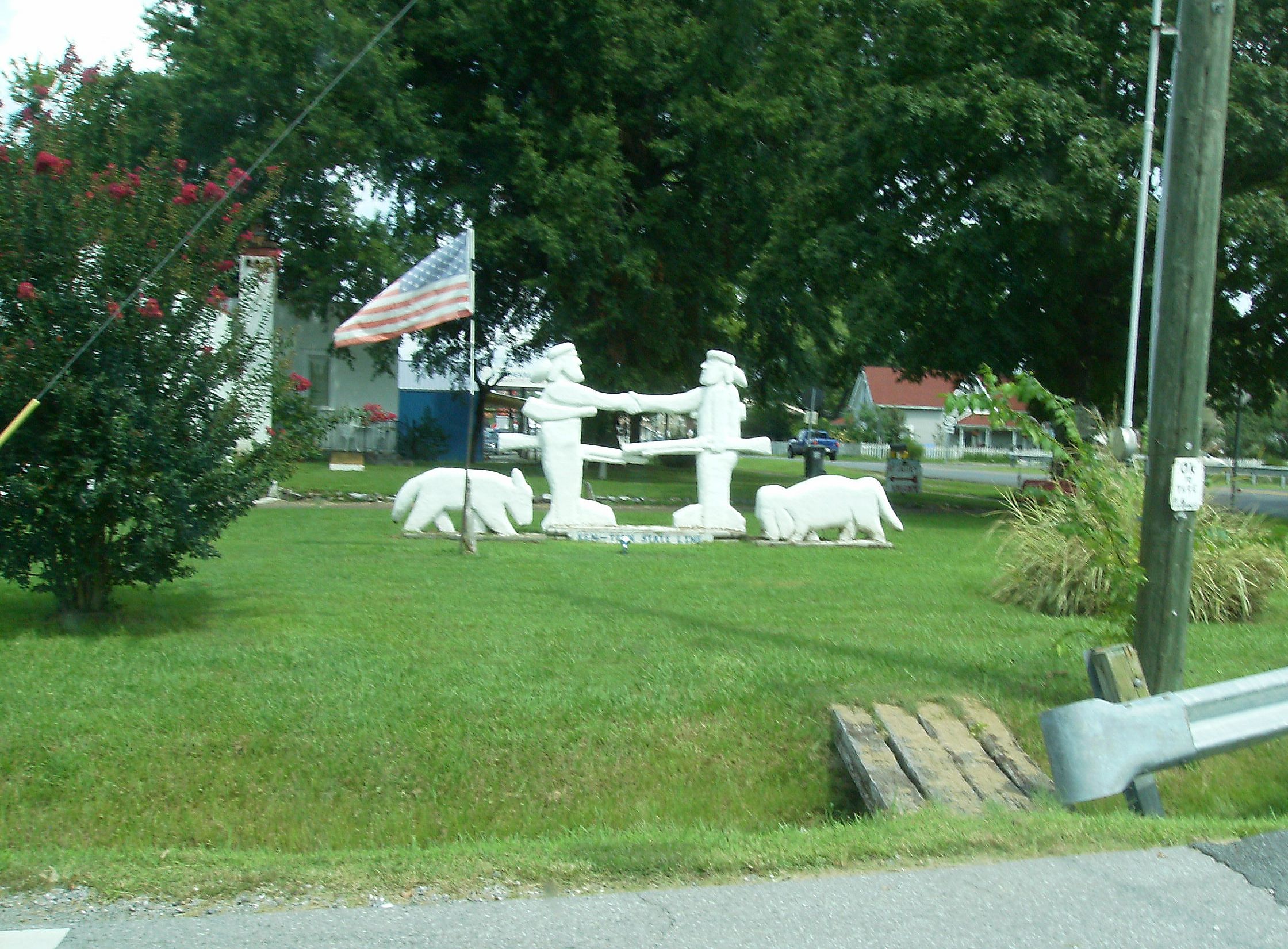
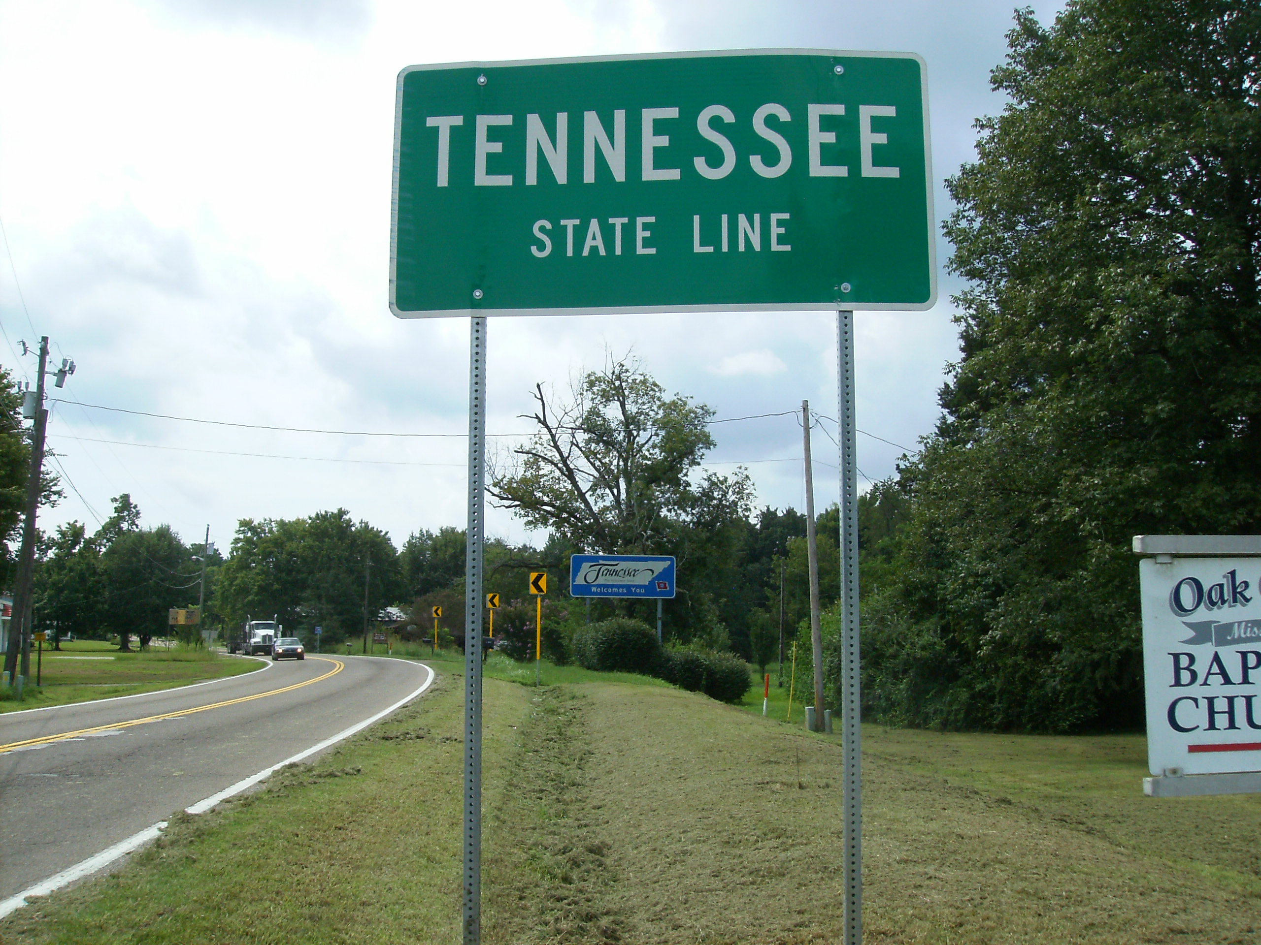
Ken-Tenn State Line
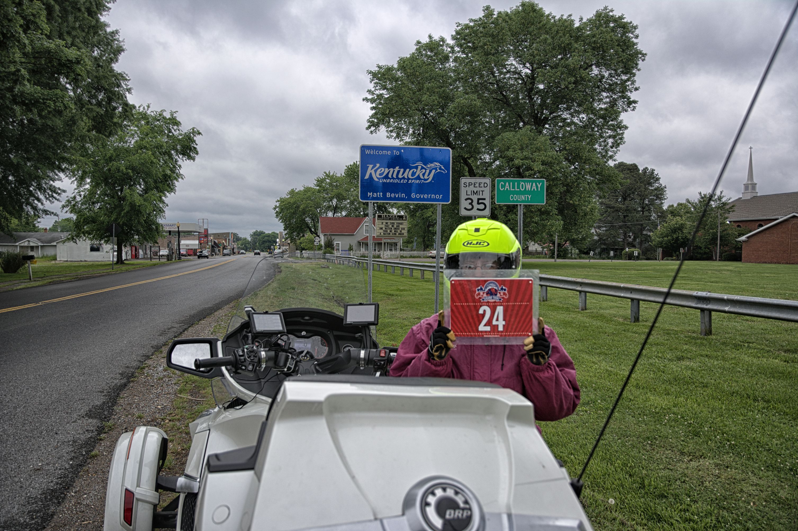
KY-TN Line Hazel KY
Welcome to Kentucky
Topographic Map of Murray, KY, USA
Find elevation by address:

Places in Murray, KY, USA:
Places near Murray, KY, USA:
Main St, Murray, KY, USA
701 Olive St
Murray State University
1415 Lowes Dr
Briggs & Stratton
Dr. James R. Wells Iii, Dmd
1508 London Dr
Calloway County
169 North Dr
Almo Rd, Almo, KY, USA
Almo
KY-94, Almo, KY, USA
1494 Pleasant Hill Dr
1777 Hopkins Rd
Kirksey
95 Dogwood Ln, Kirksey, KY, USA
1361 Almo-shiloh Rd
4th St, Hardin, KY, USA
Hardin
Boatwright Trail, Murray, KY, USA
Recent Searches:
- Elevation of Alisal Rd, Solvang, CA, USA
- Elevation of Vista Blvd, Sparks, NV, USA
- Elevation of 15th Ave SE, St. Petersburg, FL, USA
- Elevation of Beall Road, Beall Rd, Florida, USA
- Elevation of Leguwa, Nepal
- Elevation of County Rd, Enterprise, AL, USA
- Elevation of Kolchuginsky District, Vladimir Oblast, Russia
- Elevation of Shustino, Vladimir Oblast, Russia
- Elevation of Lampiasi St, Sarasota, FL, USA
- Elevation of Elwyn Dr, Roanoke Rapids, NC, USA