Elevation of Almo-Shiloh Rd, Murray, KY, USA
Location: United States > Kentucky > Calloway County > Murray >
Longitude: -88.210727
Latitude: 36.68373
Elevation: 156m / 512feet
Barometric Pressure: 99KPa
Elevation Map:
Satellite Map:
Related Photos:

052914-121F

Eggner Ferry Bridge damaged

Another view of the head
Entrance area to WKMS
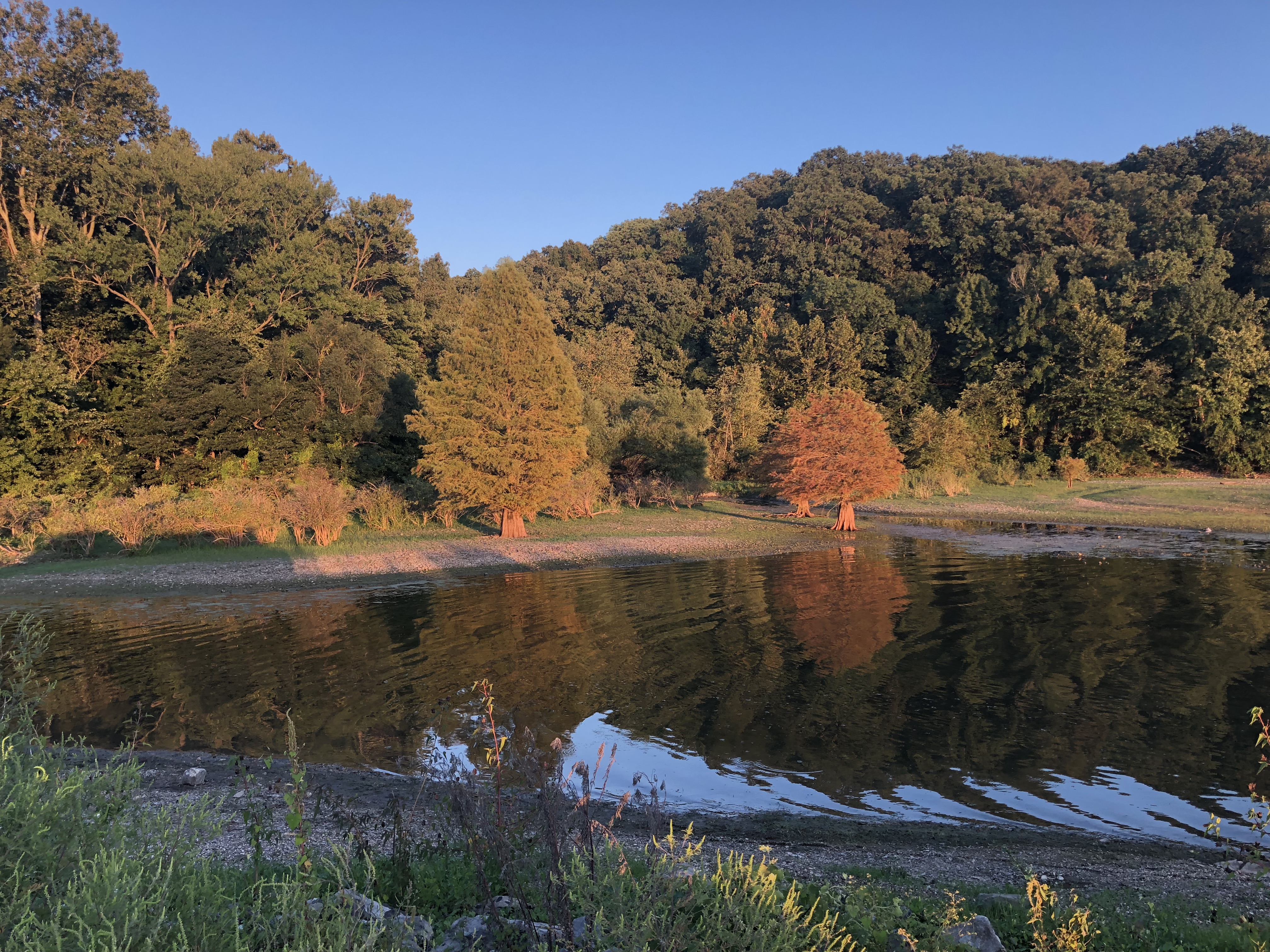
Kentucky Lake
Kenlake sunset
TN River Cleanup Spring 2016
Kenlake sunset
Kentucky Lake sunset - Fenton, Kentucky
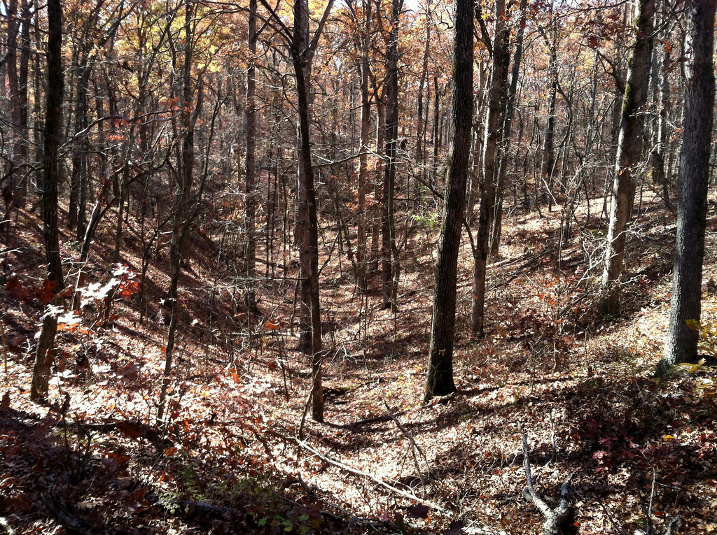
Walk in the Woods

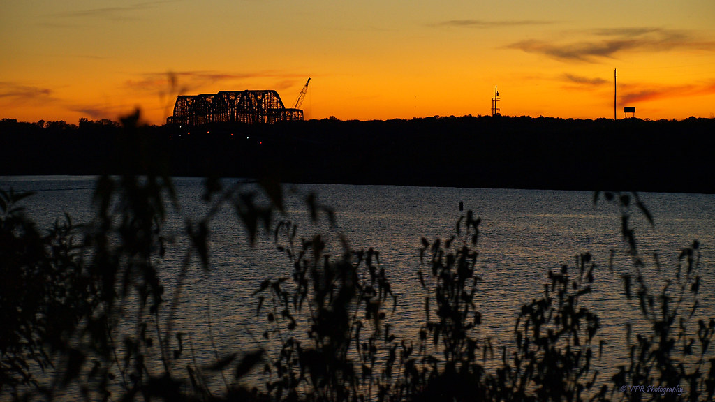
Dusk at Kentucky Lake

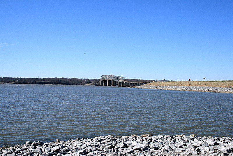
New Bridge over KY lake

Lake Barkley Flood May 2010
Eggner Ferry Bridge
Topographic Map of Almo-Shiloh Rd, Murray, KY, USA
Find elevation by address:

Places near Almo-Shiloh Rd, Murray, KY, USA:
KY-94, Almo, KY, USA
Almo
Calloway County
Almo Rd, Almo, KY, USA
1494 Pleasant Hill Dr
Boatwright Trail, Murray, KY, USA
169 North Dr
1777 Hopkins Rd
Briggs & Stratton
4th St, Hardin, KY, USA
Hardin
701 Olive St
1415 Lowes Dr
Murray
Main St, Murray, KY, USA
Murray State University
Dr. James R. Wells Iii, Dmd
Redmond Lane
1508 London Dr
Land Between The Lakes National Recreation Area
Recent Searches:
- Elevation of Leguwa, Nepal
- Elevation of County Rd, Enterprise, AL, USA
- Elevation of Kolchuginsky District, Vladimir Oblast, Russia
- Elevation of Shustino, Vladimir Oblast, Russia
- Elevation of Lampiasi St, Sarasota, FL, USA
- Elevation of Elwyn Dr, Roanoke Rapids, NC, USA
- Elevation of Congressional Dr, Stevensville, MD, USA
- Elevation of Bellview Rd, McLean, VA, USA
- Elevation of Stage Island Rd, Chatham, MA, USA
- Elevation of Shibuya Scramble Crossing, 21 Udagawacho, Shibuya City, Tokyo -, Japan